Get Lost Mountaineering
You are here: Scotland » 01 South of Oban to Stirling and Fife » Ben Lomond, Crianlarich, Balquidder and Trossachs
The Stob via the Monachyle Glen and South Ridge from the Monachyle Mhor Hotel, E of Balquidder
The Stob via the Monachyle Glen and South Ridge
from the Monachyle Mhor Hotel, E of Balquidder
Start/Finish
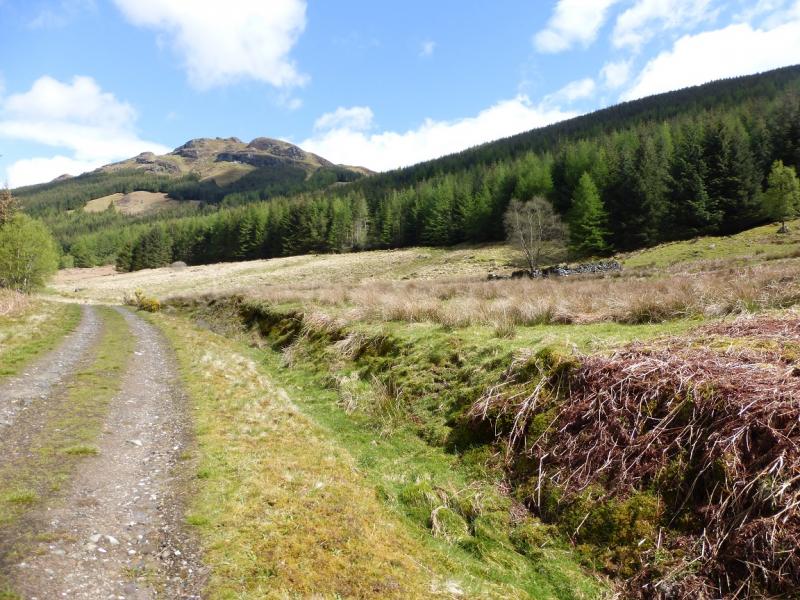
Visitors' car park at the Monachyle Mhor Hotel on minor road which runs east from Balquidder which, itself, is off the A85 road form Lochearnhead to Crianlarich. If the hotel car park is not available then parking nearby will be very limited. It might be possible to park on the verge at the start of the forestry track if the ground is firm enough. The minor road is narrow and often rough so drive carefully.
Distance/Time
11 km About 4 – 5 hours
Peaks
The Stob, 753 m, NN 491 231. OS sheets 51 & 57 (both needed).
Introduction
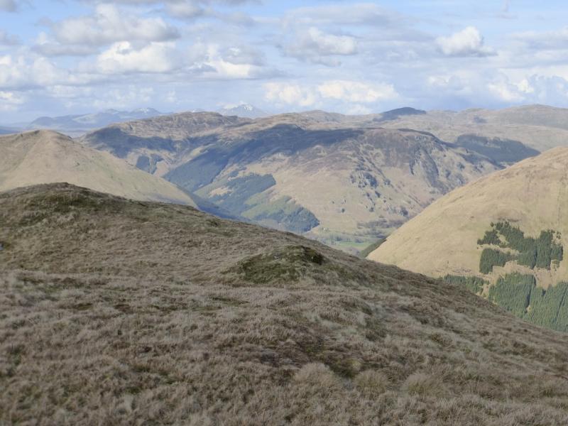
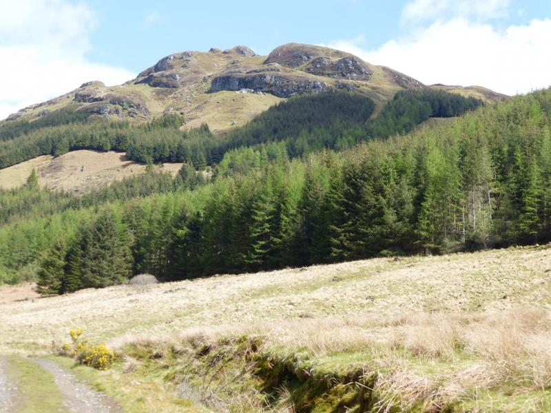
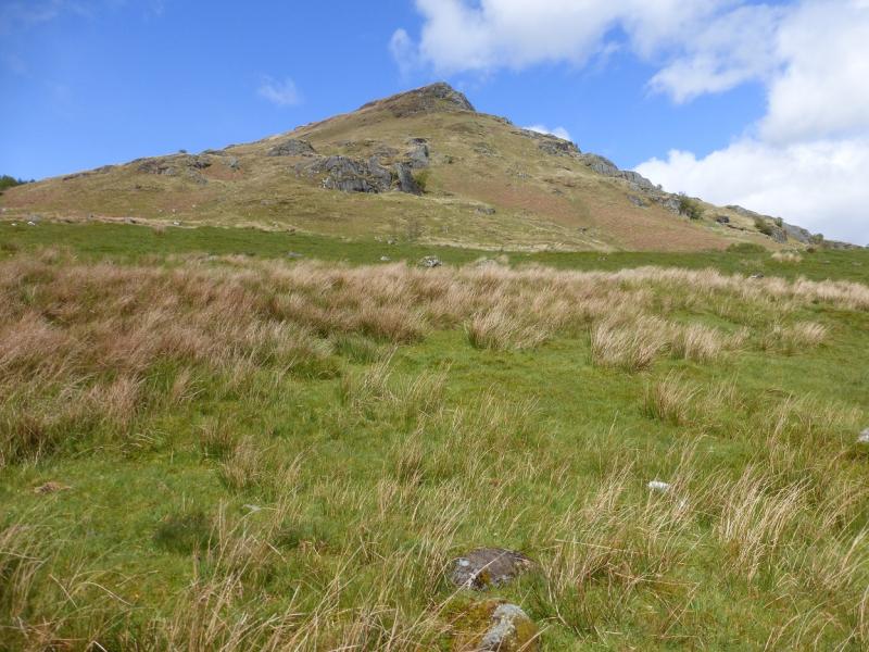
This is a pleasant high moorland walk which offers good views to Stob Binnein, Ben Vorlich and Stuc a' Chroinn and other local hills. The west ridge of The Stob is not well defined and would be taxing in mist. A separte route returning by the route of ascent has also been posted.
Route
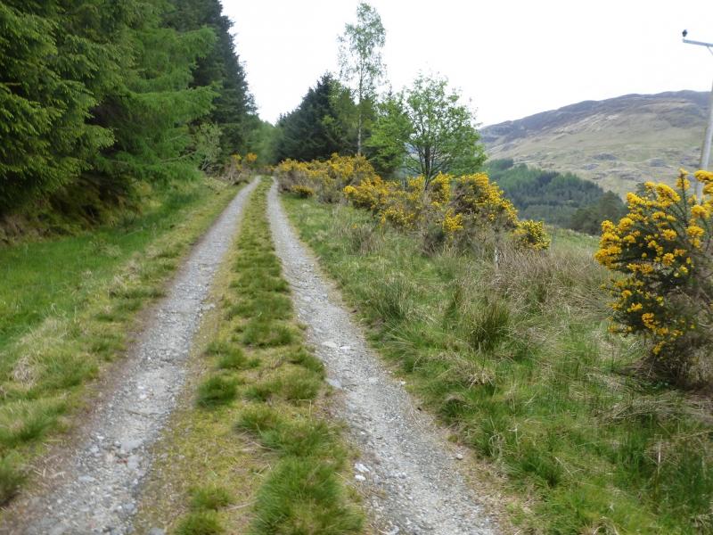
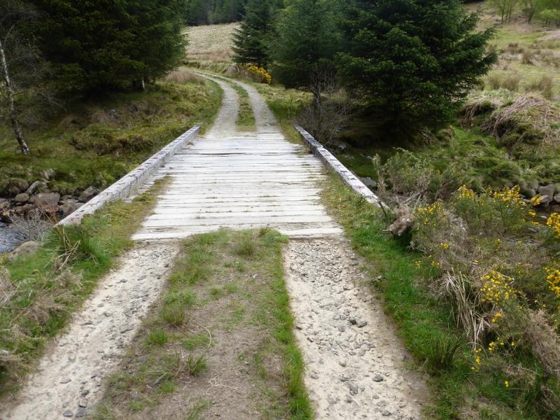
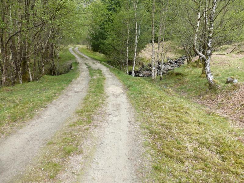
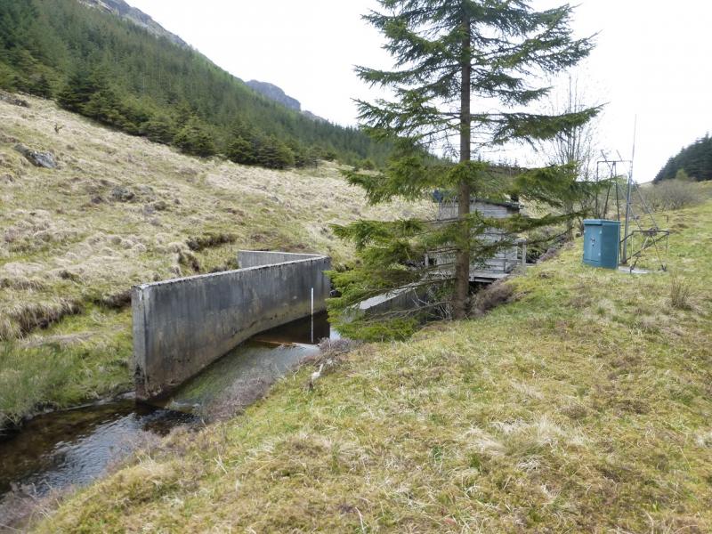
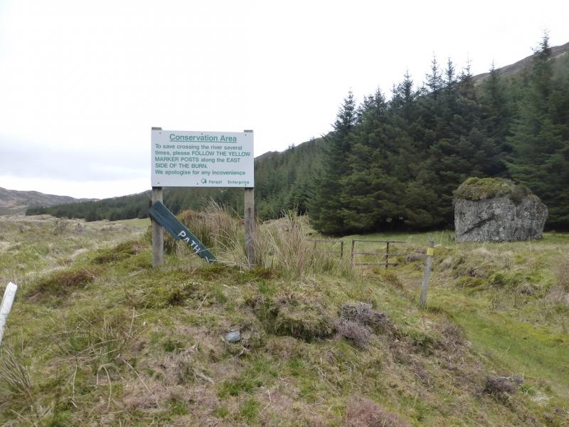
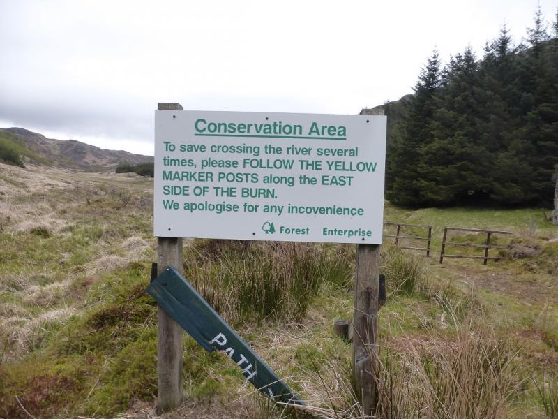
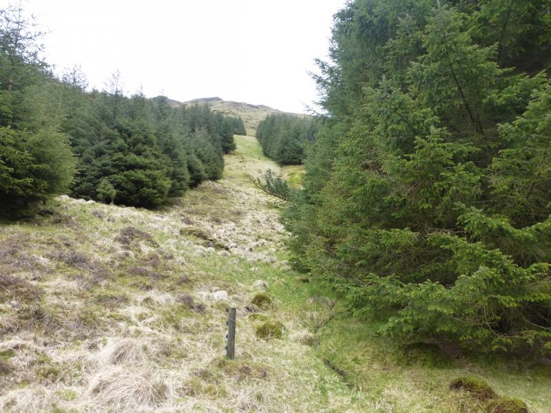
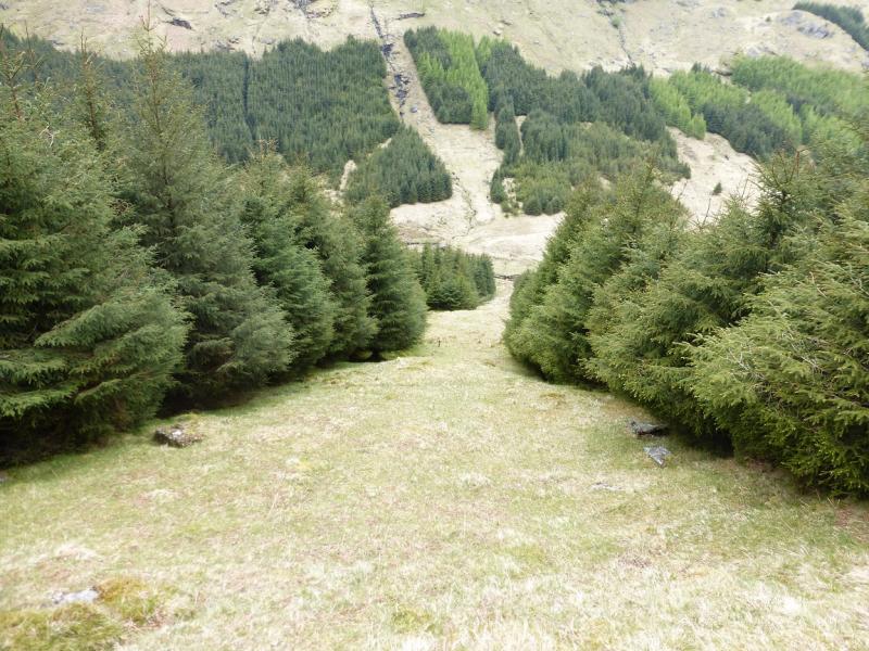
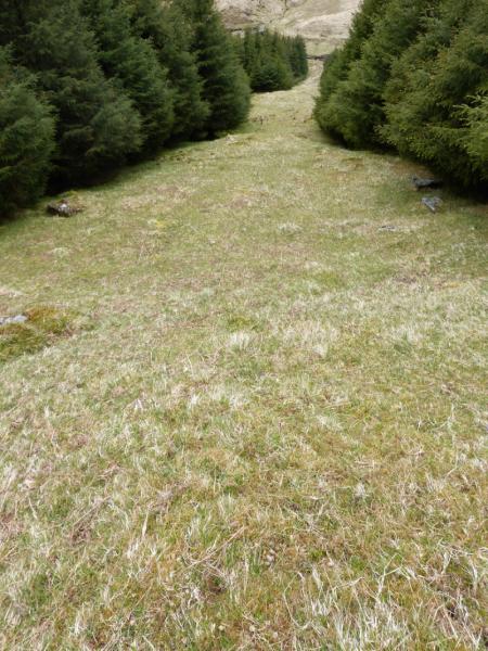
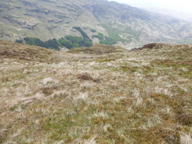
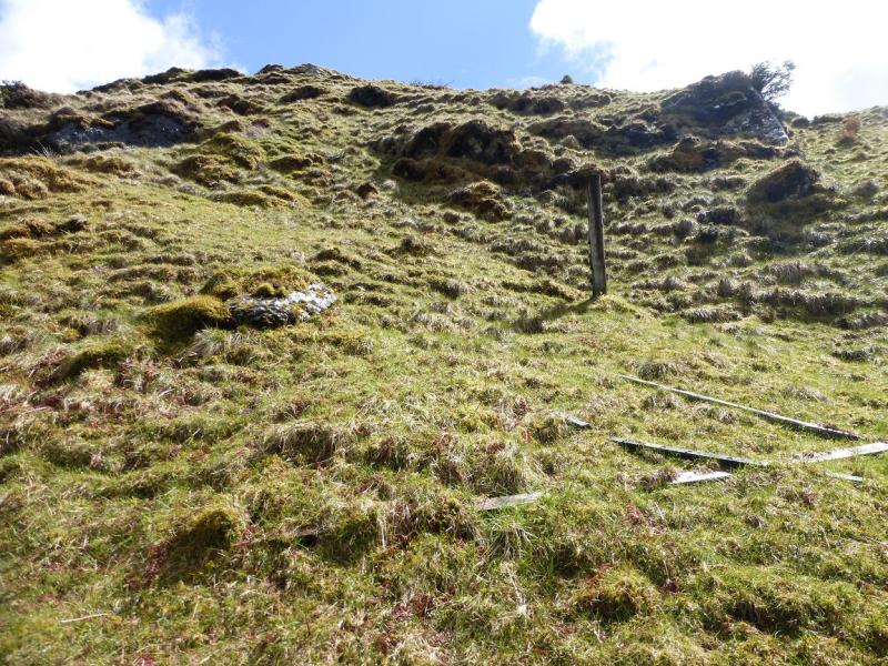
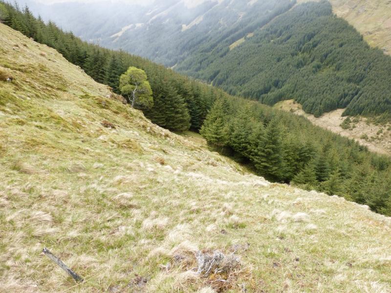
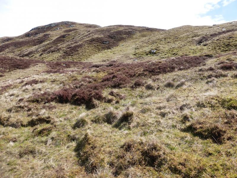
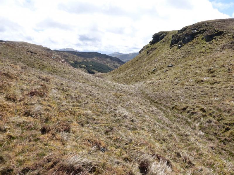
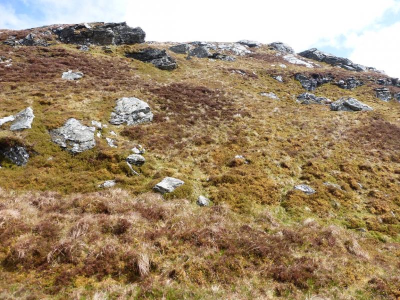
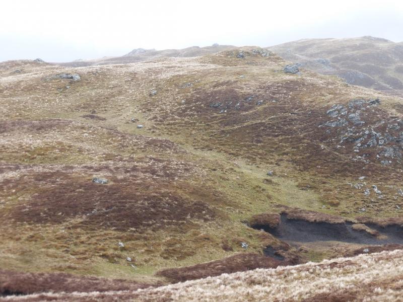
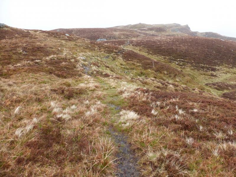
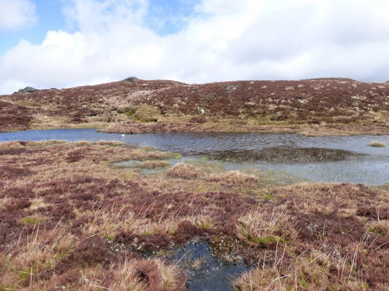
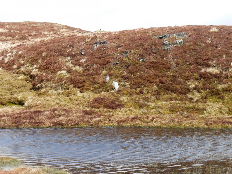
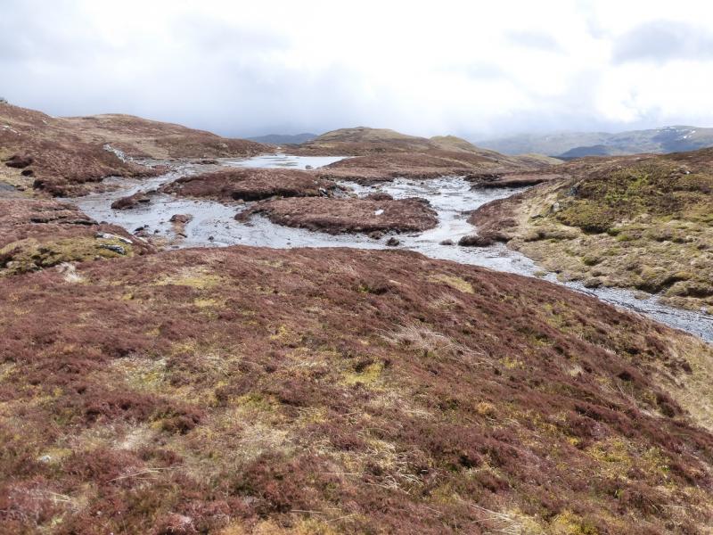
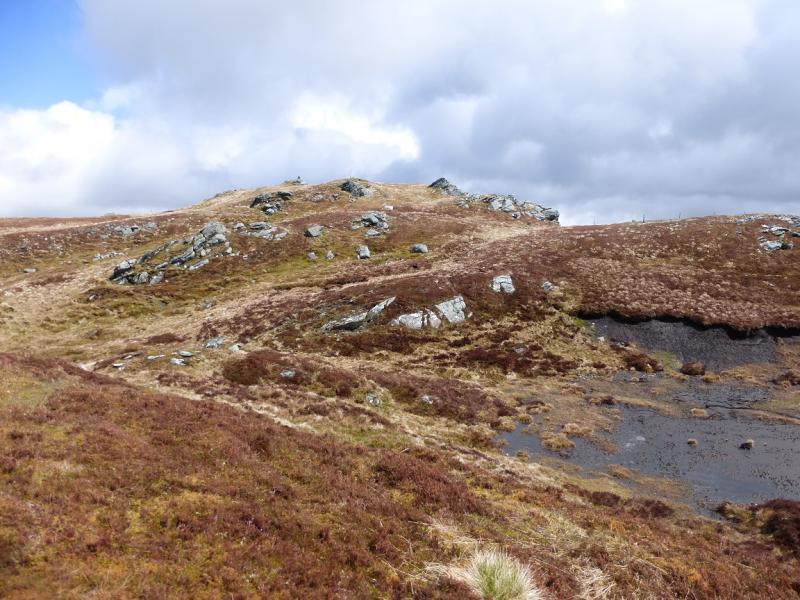
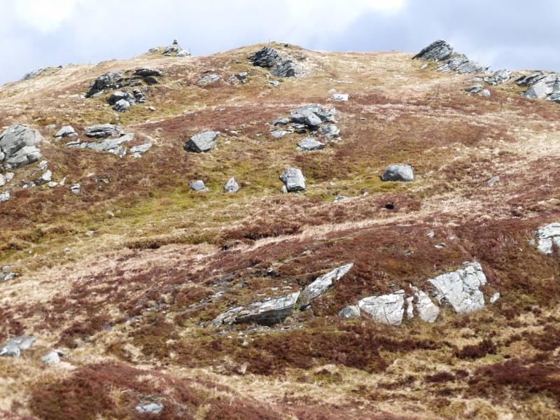
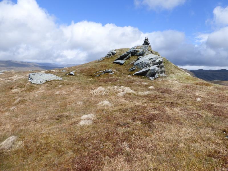
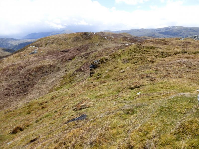
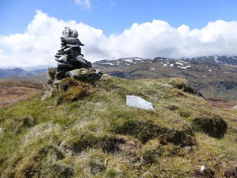
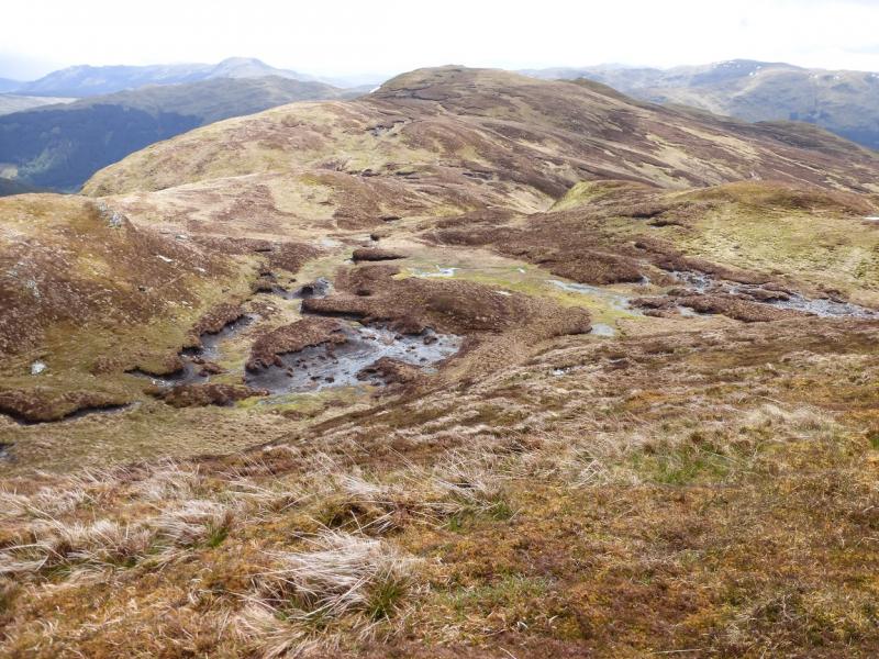
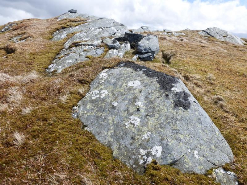
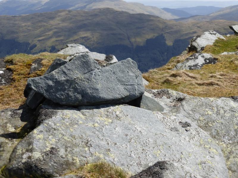
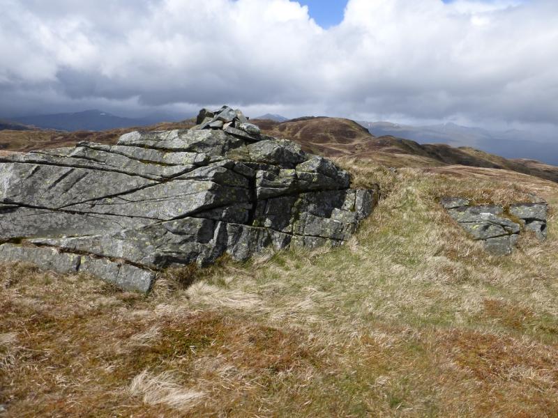
(1) From the hotel, walk up the minor road for about 400 m to the start of the track going NE up the Monachyle Glen. Follow this for about 2 km to a bridge over the river. Continue for about another 2 km to the end of the track where there is a notice asking walkers to follow the path along the E side of the river. Follow the path for about 60 m, past a large boulder, to reach the foot of a wide firebreak up which one can see all the way to the top of the forestry. There are a few old fence posts up the firebreak which continue beyond its end. Pick a way up the steep grassy slopes until above the trees. Note the firebreak on the opposite side of the glen which is a good marker for the return. Continue up the steep grassy slopes aiming for a pointed peak above. Just above here is a deer fence which has fallen down in palces so can be crossed easily. From here the ill-defined grassy/heathery ridge goes roughly just N of E. Follow the ridge up. Higher up, a path becomes obvious and this, faint in places, leads all the way to the top passing a lochan then a large peaty area before reaching a medium narrow cairn on an outcrop which is the summit of The Stob, 753 m. A fence is crossed just before the summit and the path seems to go away from the summit here – right when you need to go left.
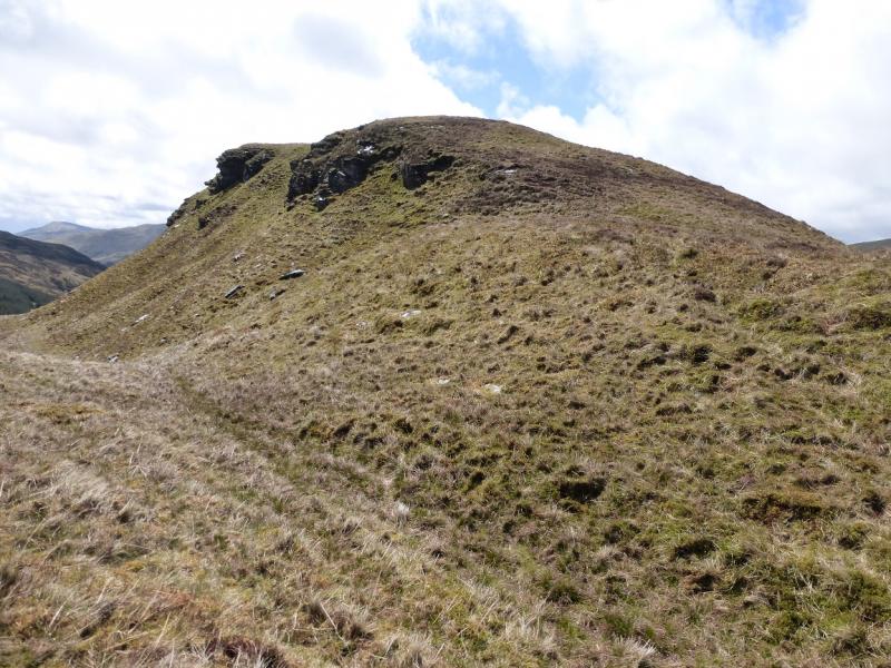
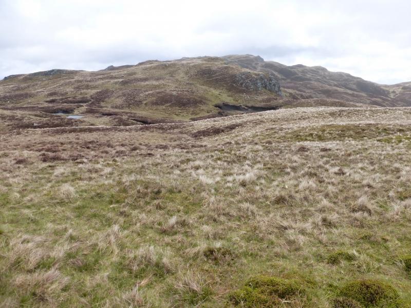
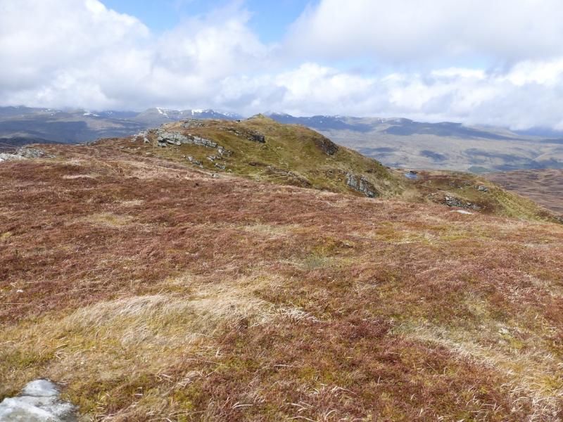
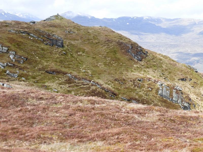
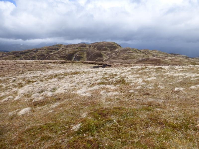
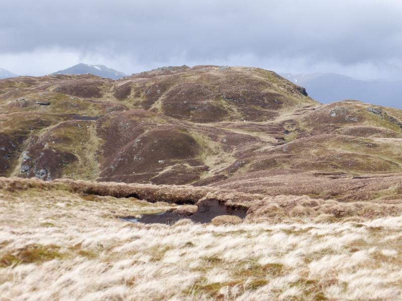
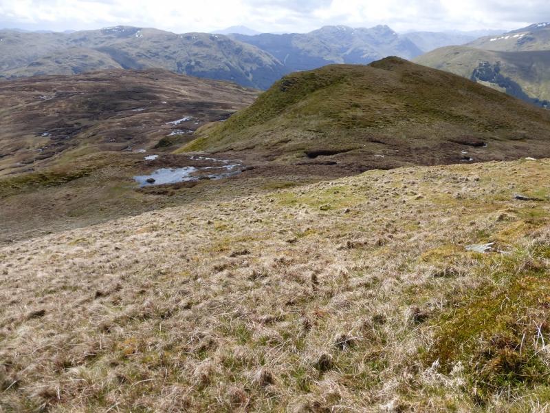
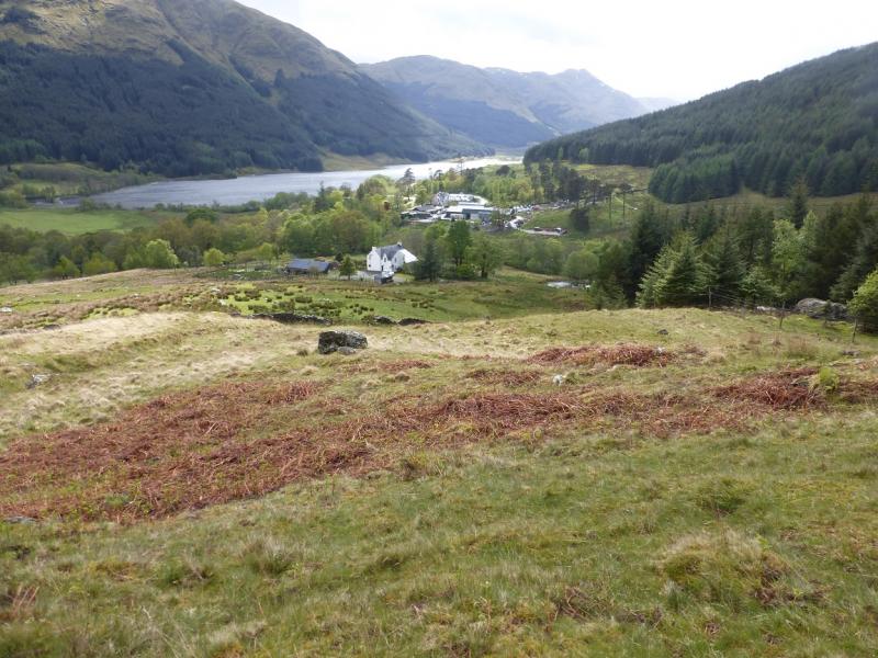
(2) Go back to the fence and follow it S. Leave it when it goes E and continue S over a broad, ill-defined and undulating ridge. In about 1 km, reach Stob Caol where there is a small cairn on an outcrop. Continue S, trying to follow the crest. After much up and down, mainly on easy ground, reach the end of the ridge. In clear weather, Monachyle will be seen below to the SW. Pick a way down carefully as there are some vegetated crags and it may be necessary to double back slightly to descend to easier ground. Continue down towards the house at Monachyle Beag. Go left before the house and pick up the track below the house. Walk down to the road. Turn right and soon reach the start.
Notes
(a) This walk took place on 28th May, 2015.
Photos - Hover over photo for caption. Click on to enlarge. Click on again to reduce.