Get Lost Mountaineering
You are here: Scotland » 04 Loch Leven and Loch Linnhe to Loch Ericht » Ben Nevis to Loch Trieg
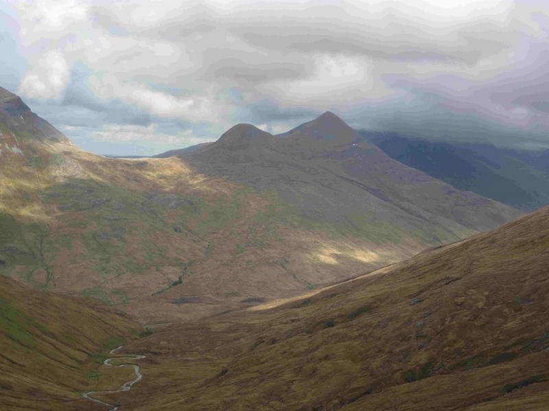
Sgurr Choinnich Beag & Sgurr Choinnich Mor from Glen Nevis
Sgurr Choinnich Beag & Sgurr Choinnich Mor from Glen Nevis
Start/Finish
Car park at end of the Glen Nevis road. This can fill up quite quickly so it is best to arrive early.
Distance/Time
16 km. About 6 – 7 hours.
Peaks
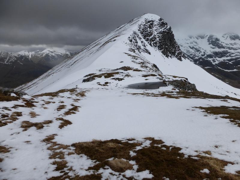
Sgurr Choinnich Beag, 963 m, NN 220 710.
Sgurr Choinnich Mor, 1094 m, NN 227 714. OS Sheet 41.
Introduction
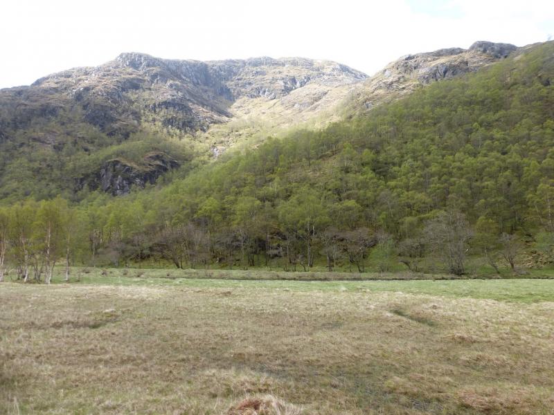
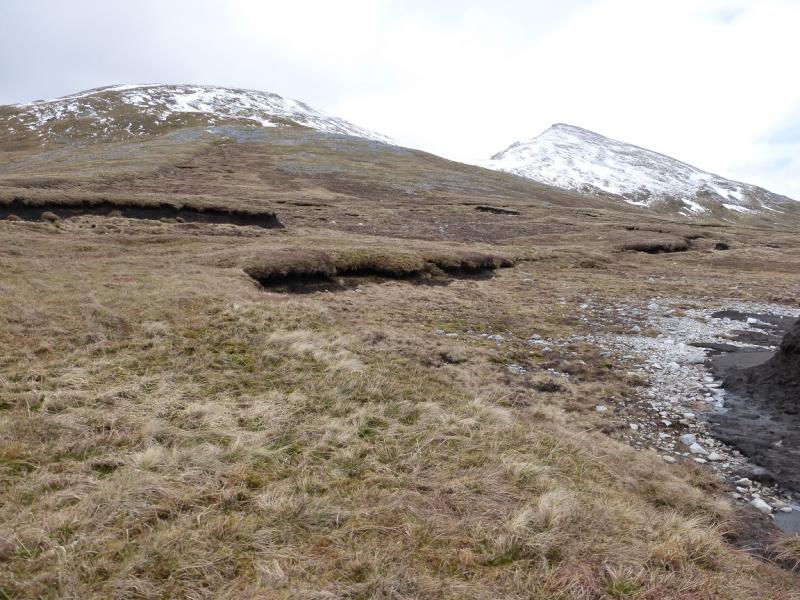
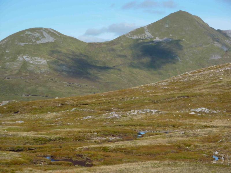
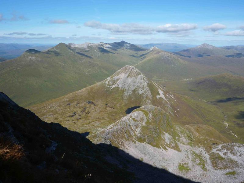
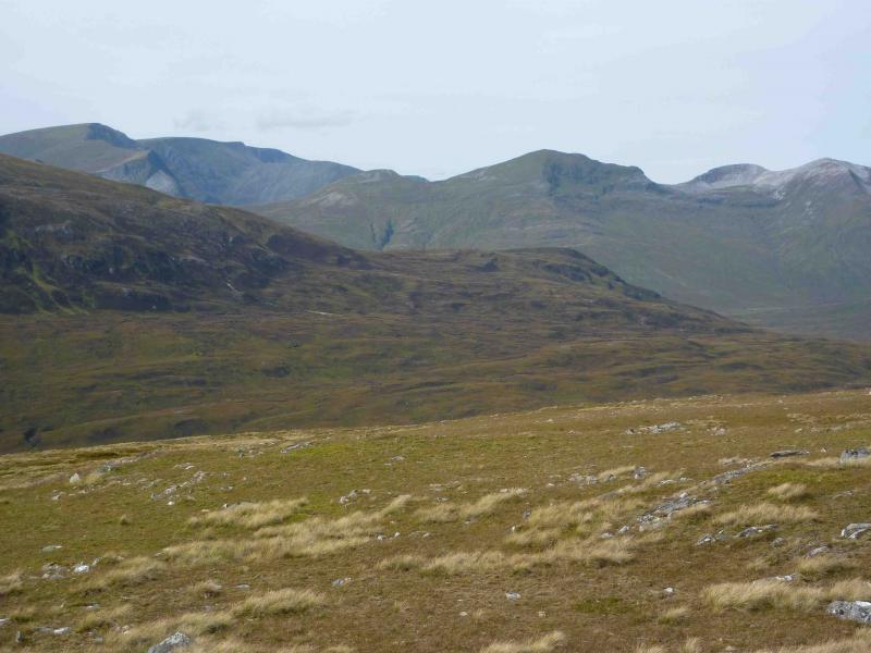
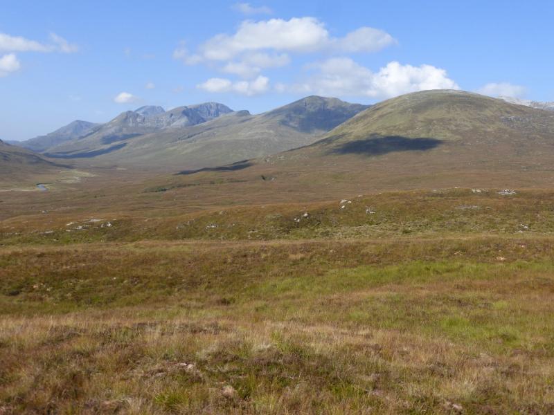
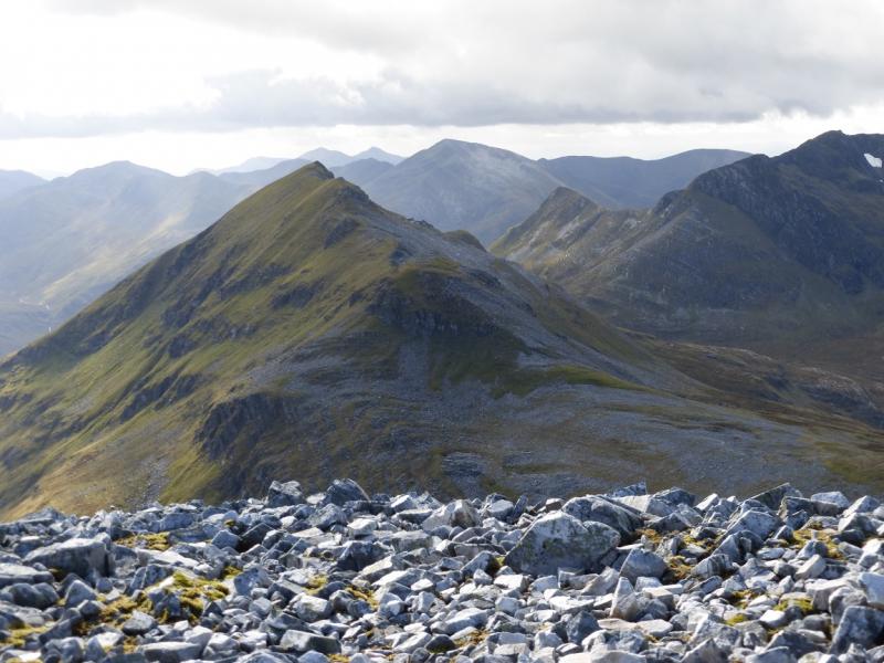
This is a pleasant walk to two of the least popular mountains above Glen Nevis. They offer a good day, not too long, with superb views to the Mamores, Aonach Beag, Aonach Mor, the Grey Corries and beyond. The approach through Glen Nevis can be boggy after the Steall ruin but the going is much better once the floor of the glen is left. The descent back to the glen is fast and on good ground.
Route
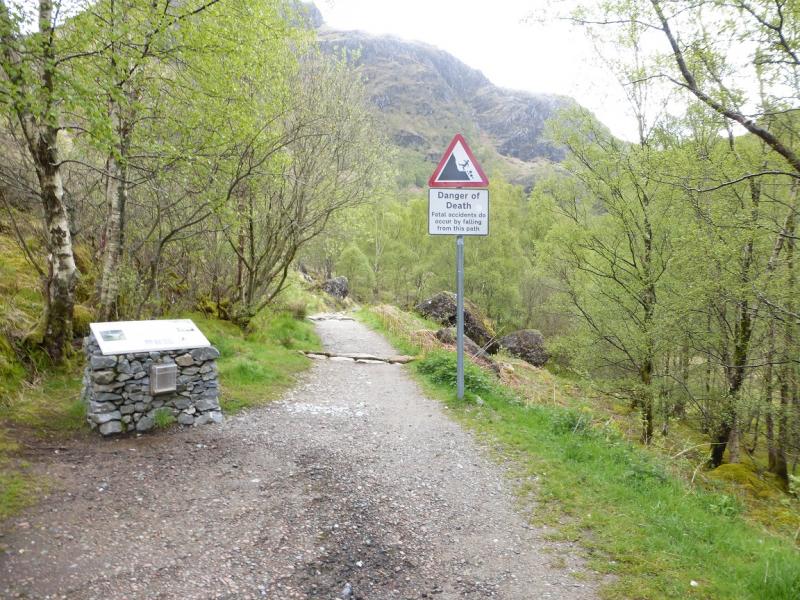
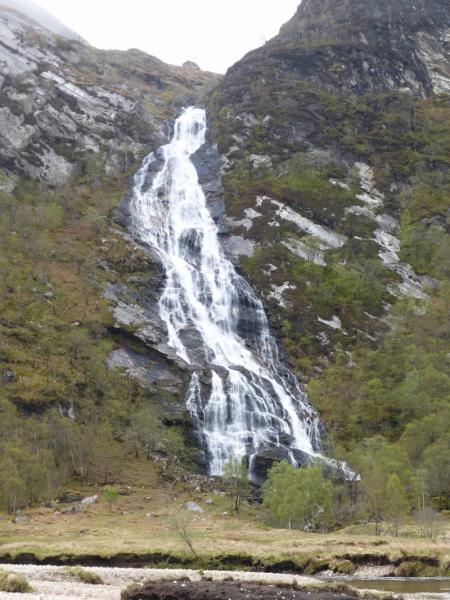
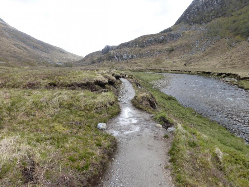
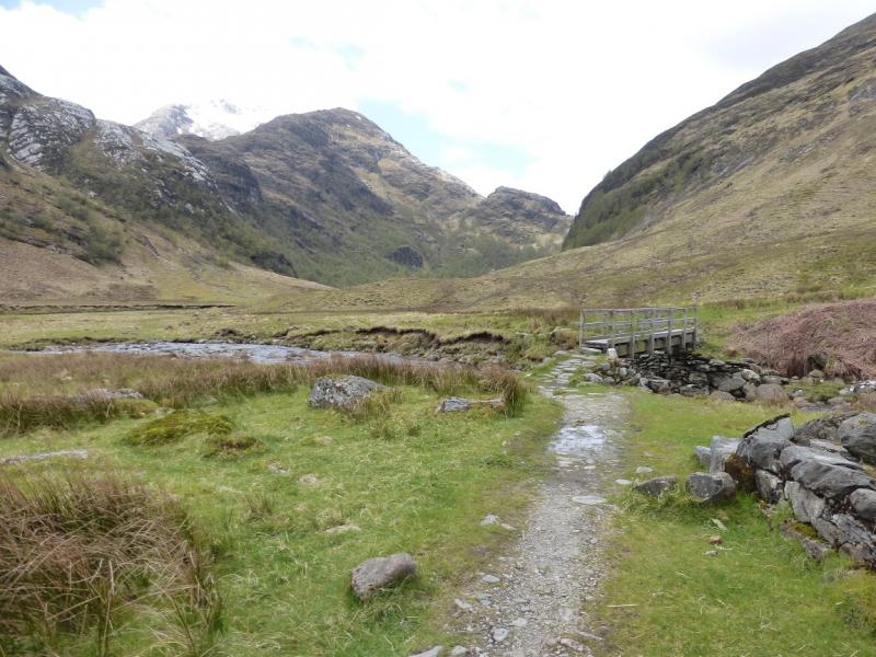
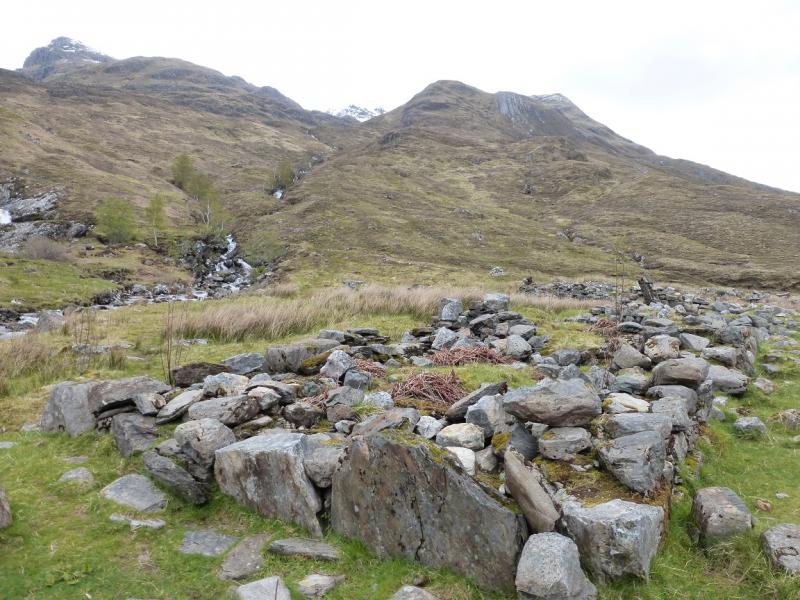
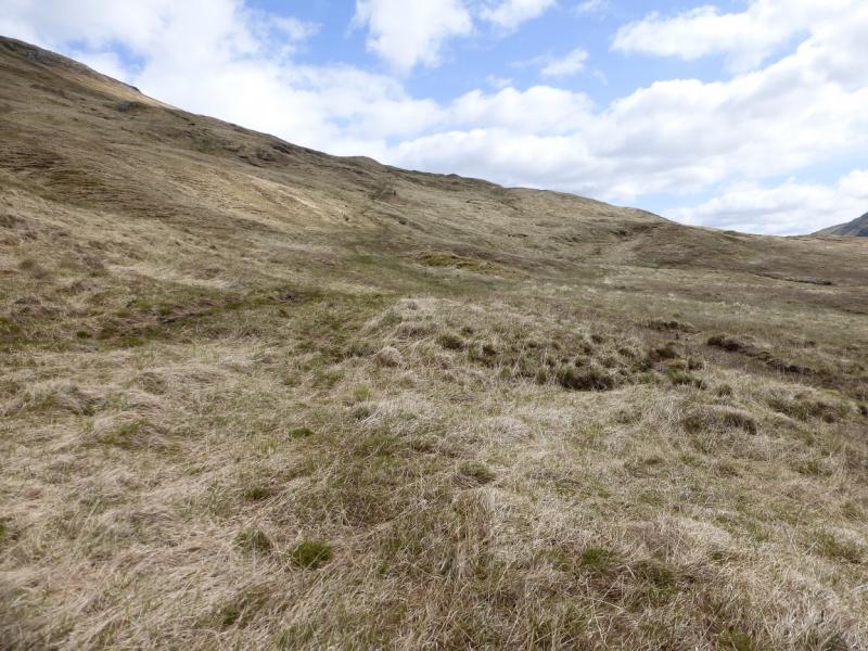
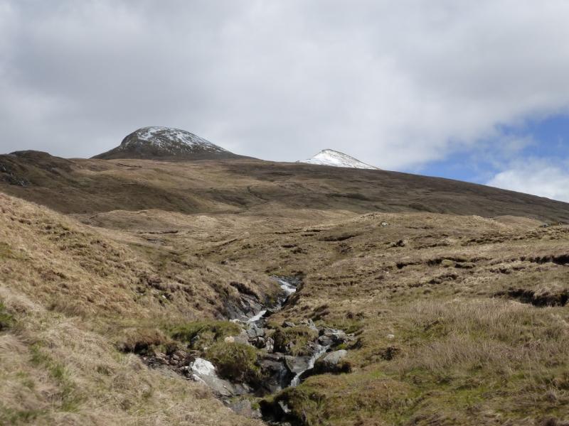
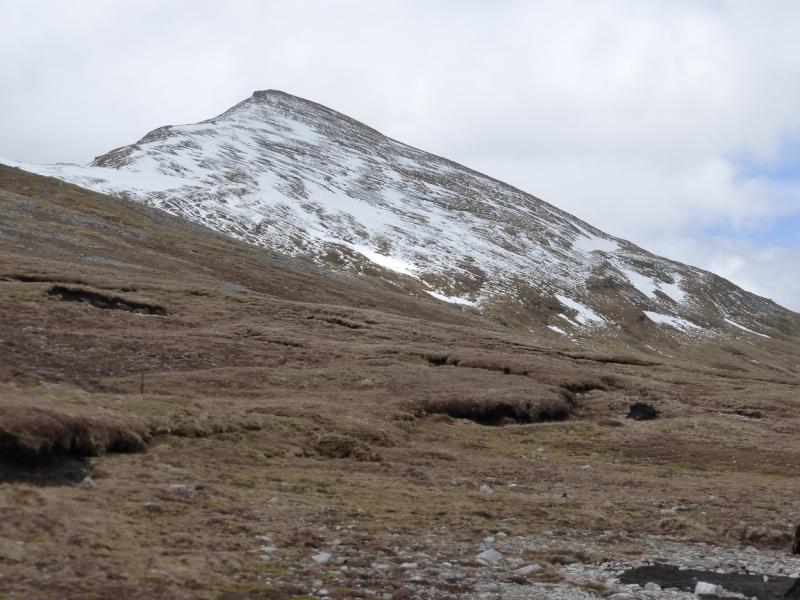
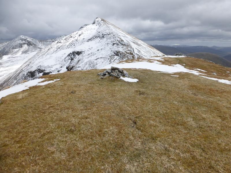
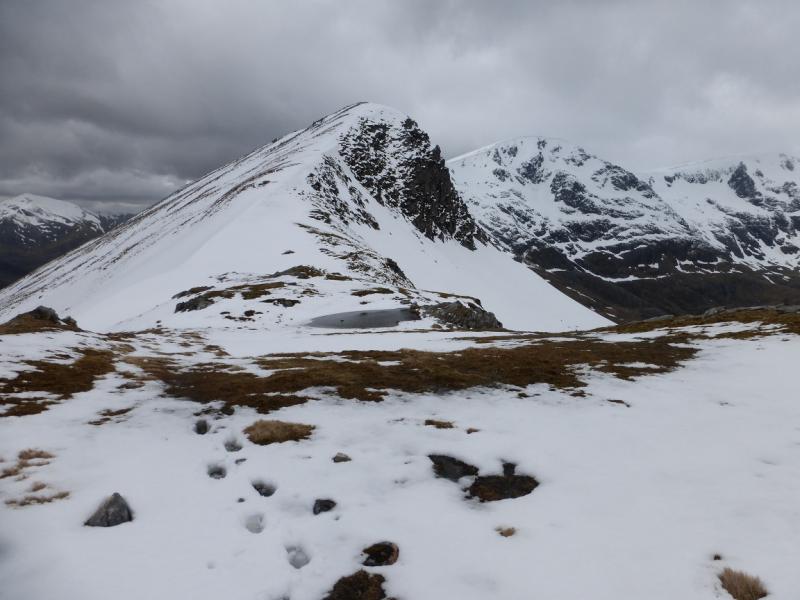
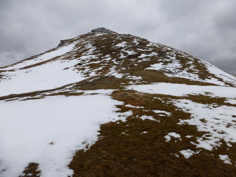
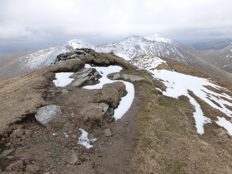
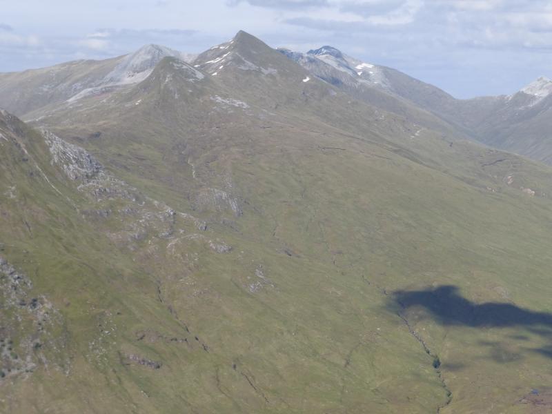
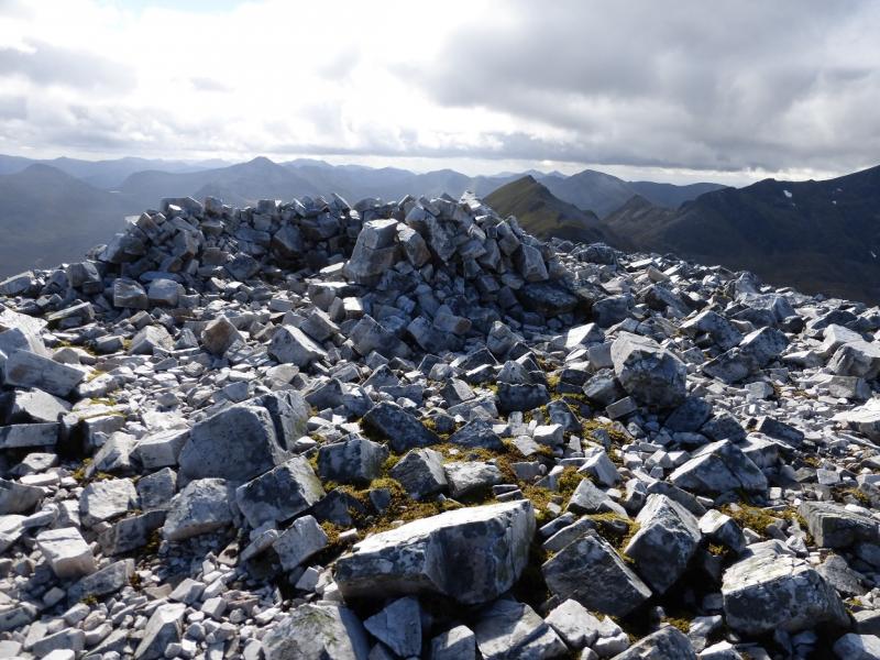
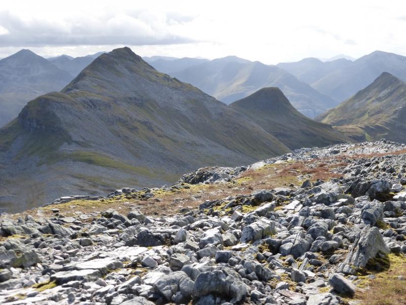
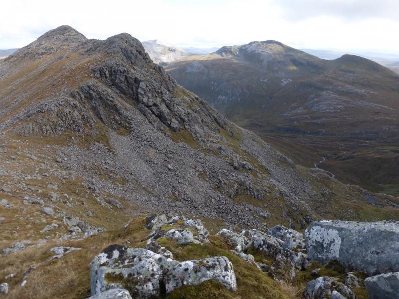
(1) Take the path from the car park to Steall. Part of the path lies above a very steep and rocky gorge. When it emerges from the wood on to a meadow, walk past the wire bridge and Steall Waterfall then continue along the N side of the River Nevis. Reach Steall footbridge just before the ruin at Steall. The path after here can be quite boggy. About 1 km further, the path splits (it is not that obvious). Take the higher one and follow any path heading roughly NE slanting up the slopes. Cross two prominent streams where the path is more obvious if it has been lost. Follow the path up but it will become increasingly faint. Sgurr Choinnich Beag should now be in view on a clear day. Sgurr Choinnich Mor will “appear and disapppear” several times! When the faint path starts a horizontal traverse, leave it and head directly up the easy slopes towards Sgurr Choinnich Beag. If you continue on the horizontal traverse. A line of intermittent fence posts crosses it. Do not go beyond these or there will be lots of doubling back to reach Sgurr Choinnich Beag. Pick a way up the mainly grassy slopes. There is a grassy rib which winds between some stony patches higher up. Once past these, drift left and pick up the faint path coming up the WSW ridge and follow it to the small cairn which marks the summit of Sgurr Choinnich Beag, 963 m. A second larger cairn is a little further but, observations on the ground, suggest it is slightly lower.
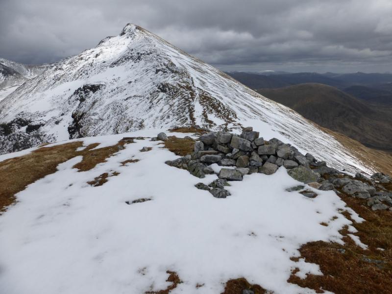
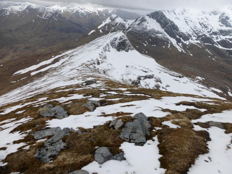
(2) In clear weather, the route to Sgurr Choinnich Mor is very obvious. Simply descend the very well defined ENE ridge down to the small bealach following a good path. Note that there are steep drops to the left, N. From the bealach, follow the obvious path up an equally well defined ridge to reach the medium cairn which is the summit of Sgurr Choinnich Mor, 1094 m.
(3) Retrace to the bealach then either return over Sgurr Choinnich Beag or descend S then SW from the bealach on easy grassy slopes until the outward route is met which is then followed back to the start.
Notes
(a) This walk took place on 20th May, 2015.
Photos - Hover over photo for caption. Click on to enlarge. Click on again to reduce.