Get Lost Mountaineering
You are here: Scotland » 10b Loch Eil to Glen Shiel » Fort Augustus to Shiel Bridge including south of Glen Shiel
Faochag, Sgurr na Sgine & Sgurr a' Bhac Chaolais from A87 to East of Shiel Bridge
Faochag, Sgurr na Sgine & Sgurr a' Bhac Chaolais
from A87 to East of Shiel Bridge
Start/Finish
About 3 miles south of Shiel Bridge garage on the A87 from Invergarry to the Kyle of Lochalsh. The route starts just south of the bridge at NG 970 140. There is a lay by about 200 m to the south. At busy times, this lay by can soon fill up so you may have to park a little further away.
Distance/Time
12 km About 7 - 8 hours
Peaks
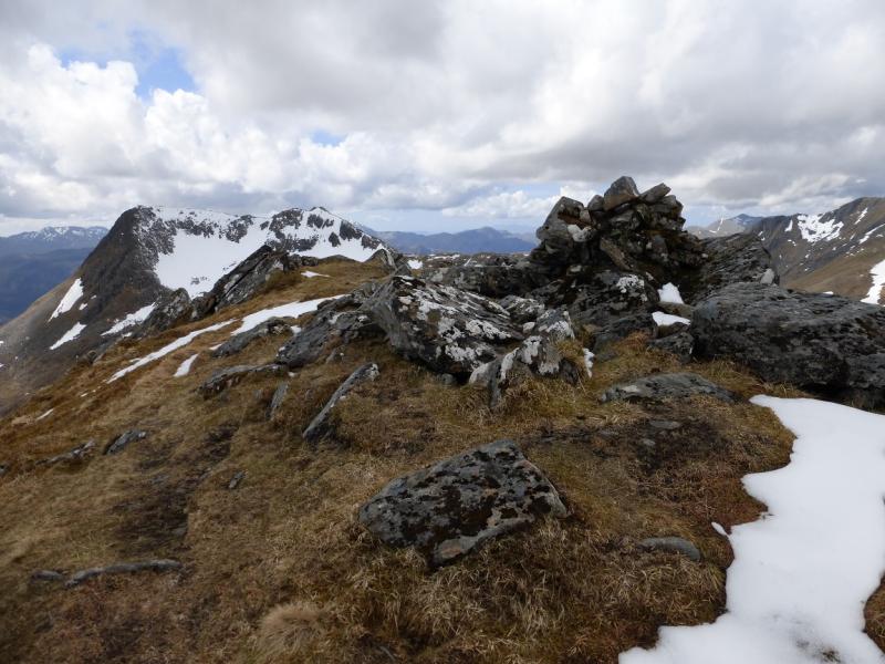
Sgurr na Sgine North West Top, 942 m, NG 943 115.
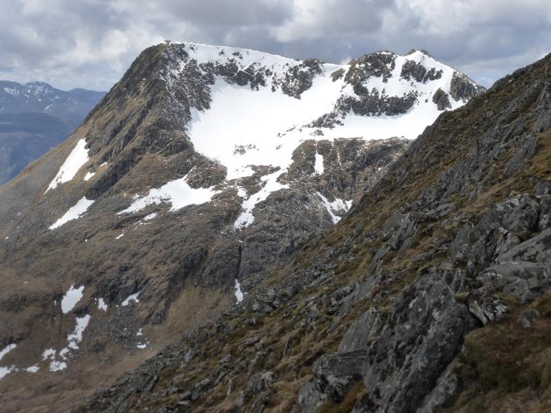
Sgurr na Sgine, 946 m, NG 946 113.
Sgurr a' Bhac Chaolais, 885 m, NG 958 110. OS sheet 33.
Introduction
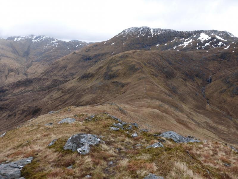
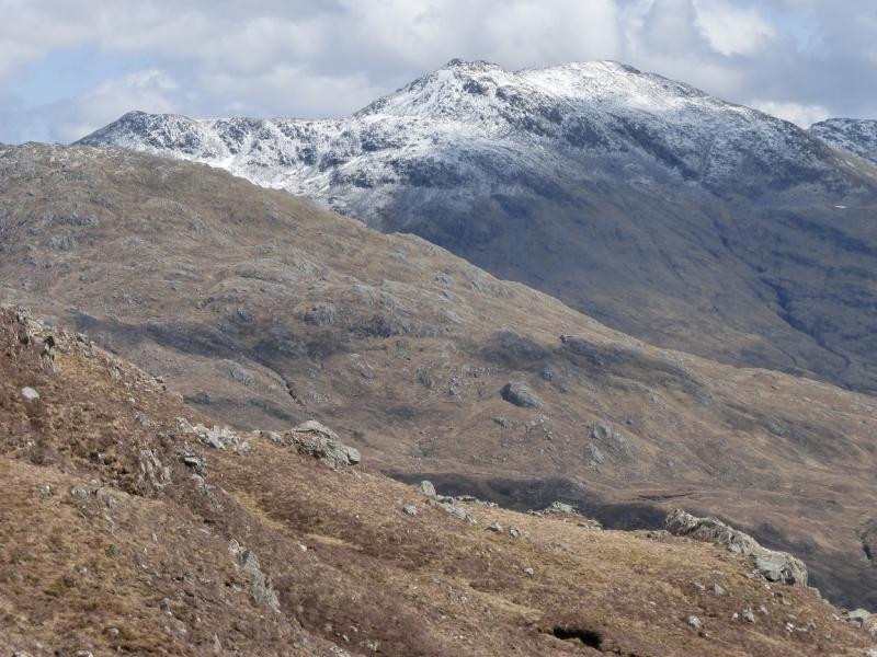
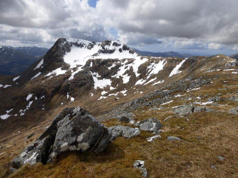
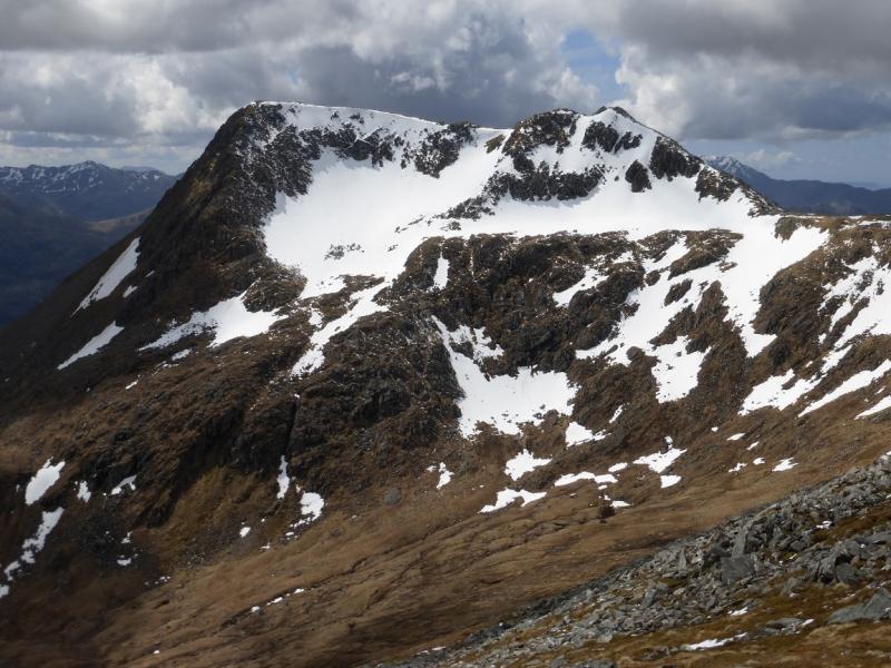
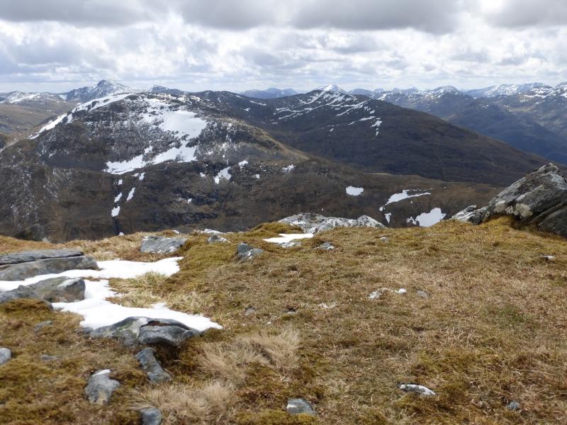
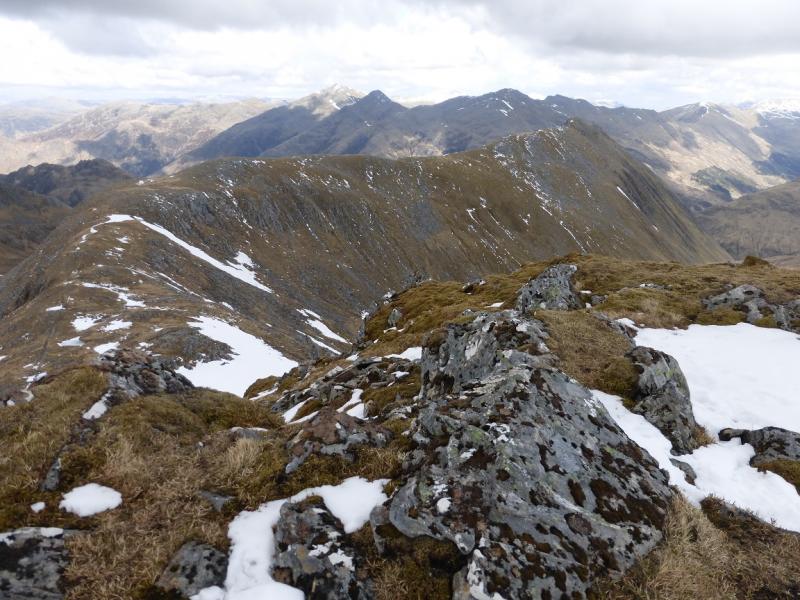
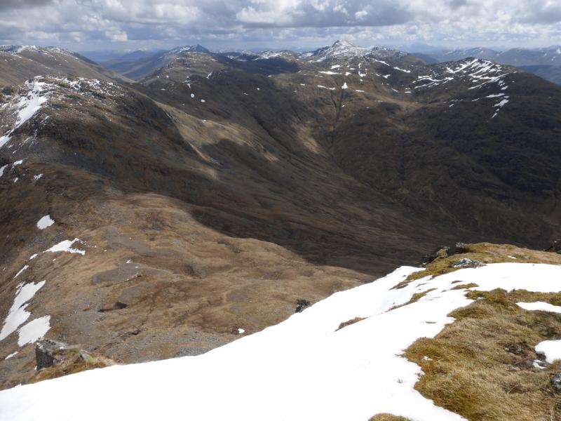
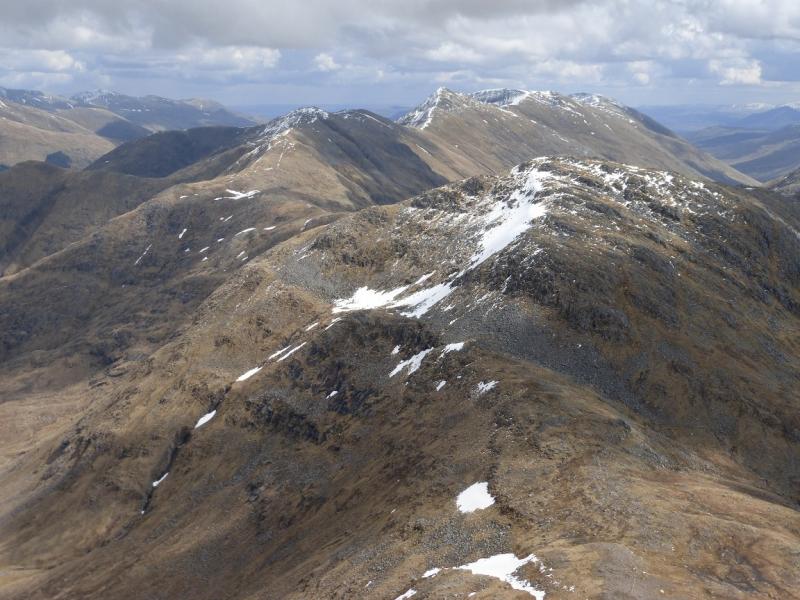
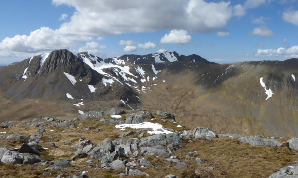
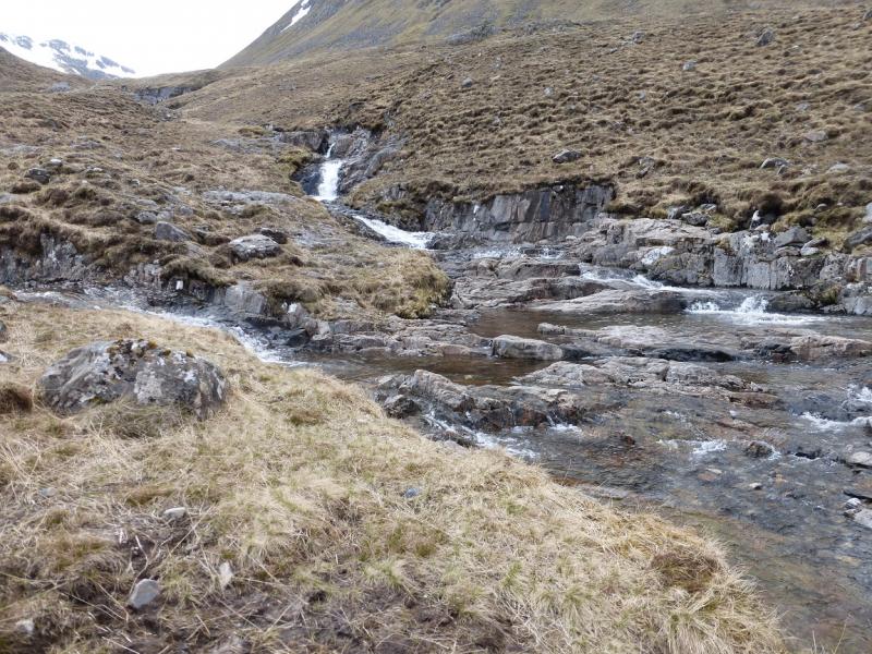
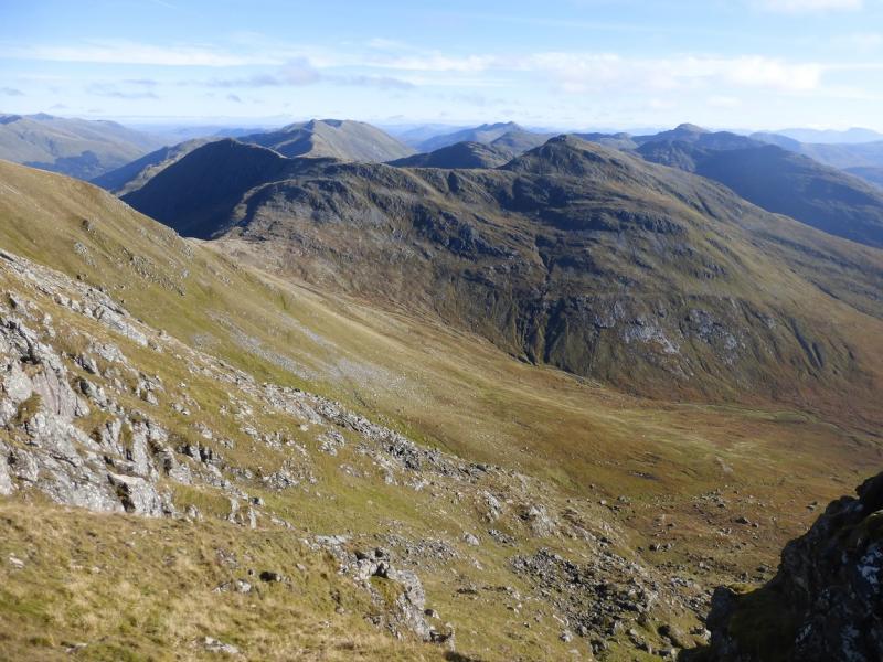
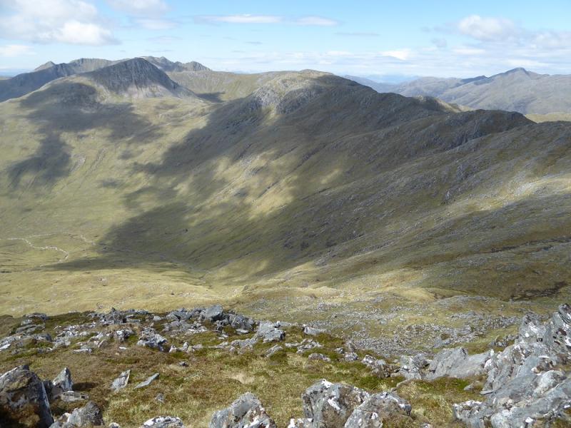
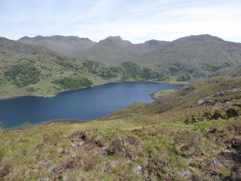
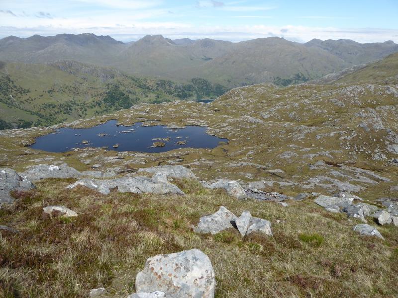
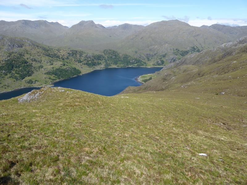
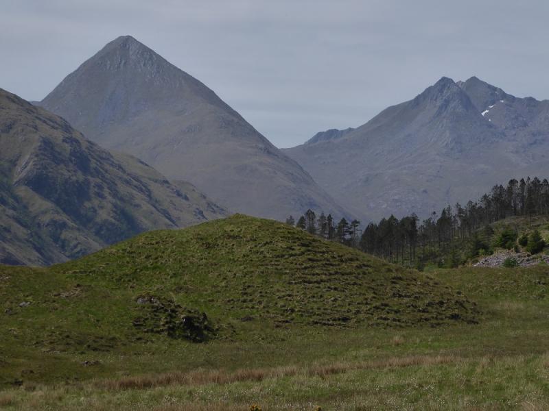
This is a tough walk with steep ascents and a long, rough descent at the end of the day. It is a very serious undertaking in anything but dry summer conditions and is no place for the inexperienced in winter conditions. On a clear day there are superb views to the Five Sisters, The Saddle, Forcan Ridge, South Glen Shiel Ridge and Beinn Sgritheall so save this walk for a clear day. Crossing the Allt Coire Toiteil during the descent may be a problem in spate conditions. Sgurr a' Bhac Chaolais was formerly considered to be a twin with the Corbett of Buidhe Bheinn.Following a survey in late 2012, it was found that Buidhe Bheinn was, in fact, slightly higher than Sgurr a' Bhac Chaolais so the former is now a single Corbett and the latter is no longer a (twin) Corbett and has been removed from the tables.
Route
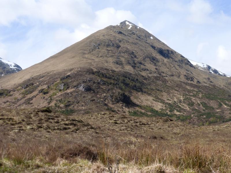
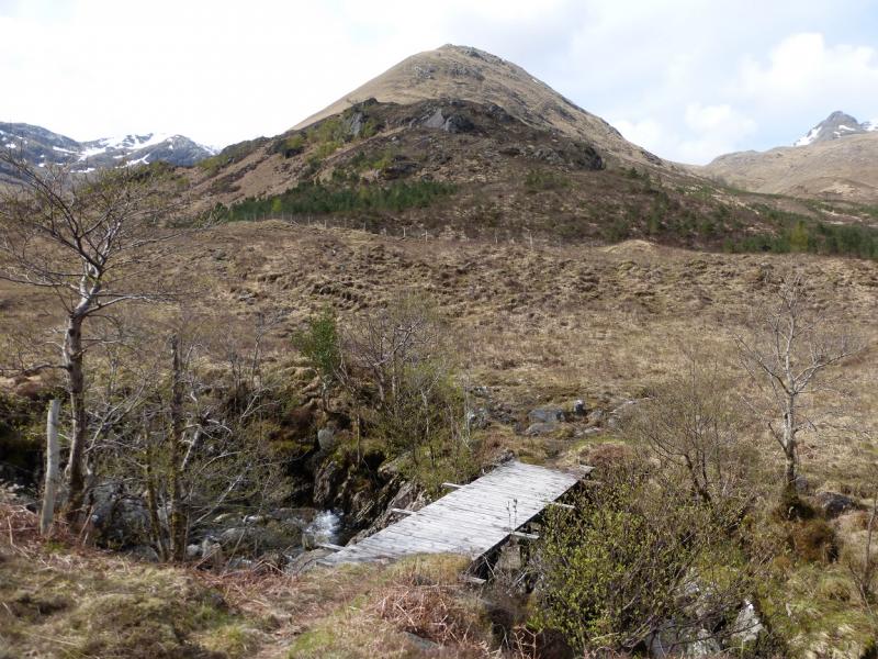
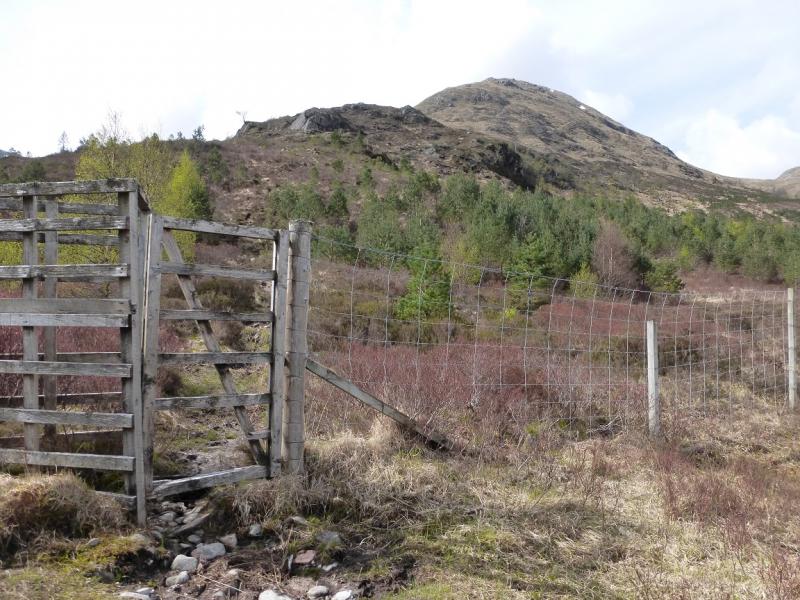
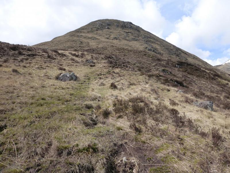
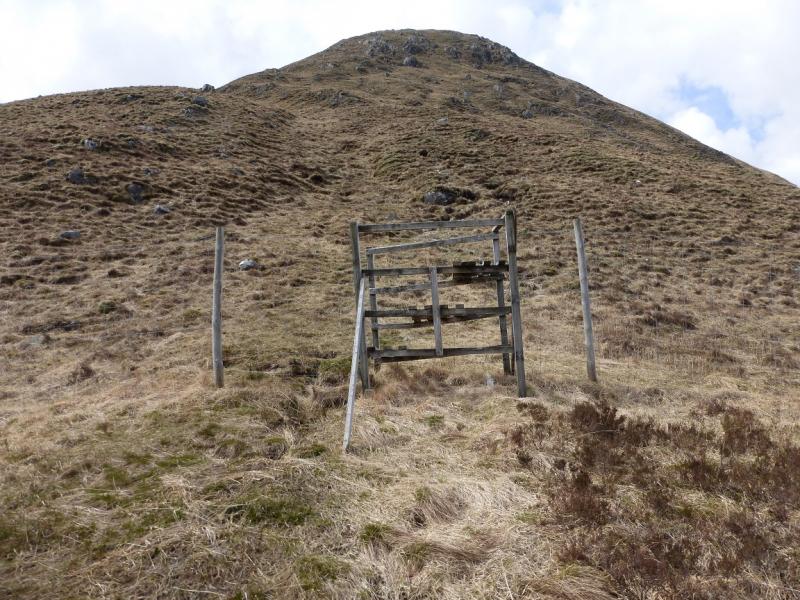
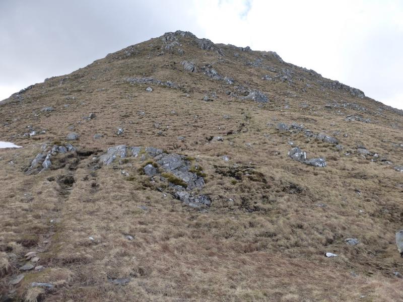
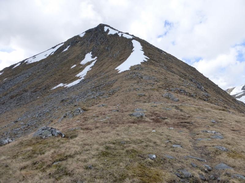
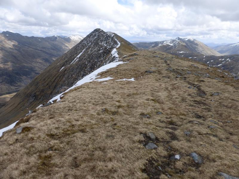
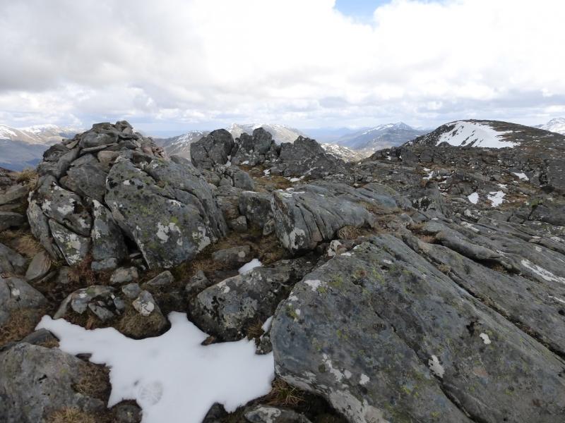
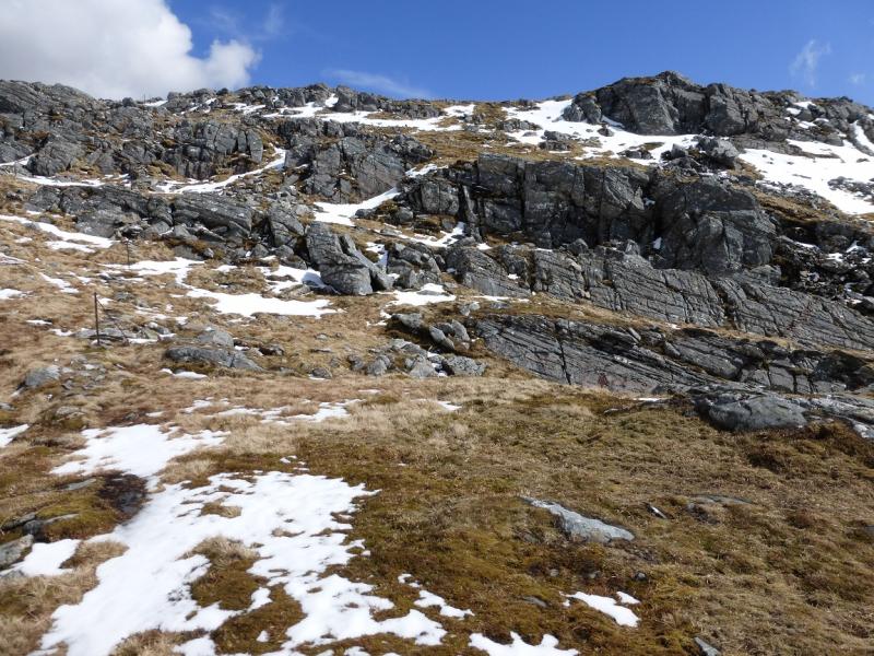
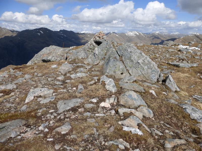
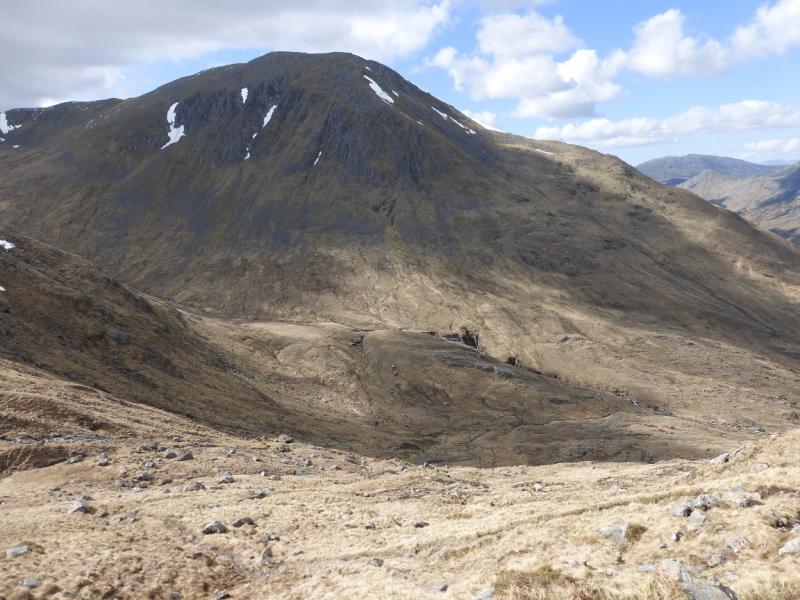
(1) From just south of the bridge, there is a sign for Tomdoun, etc. Take this path, which can be boggy, and follow it to the river. Not far upstream is a bridge. Cross over and take the right fork path. Follow this up to a fence where there is a pedestrian gate, beyond which is the start of the path up Faochag. Follow the good path as it twists and turns up the steep nose of Faochag. Eventually the angle eases and a cairn is soon reached. Beyond, a ridge curves around to Sgurr na Sgine. Follow the ridge then ascend up to the medium cairn which marks the summit of Sgurr na Sgine North West Top, 942 m.
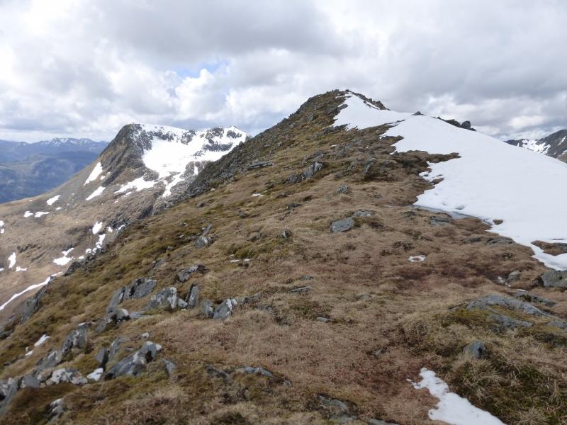
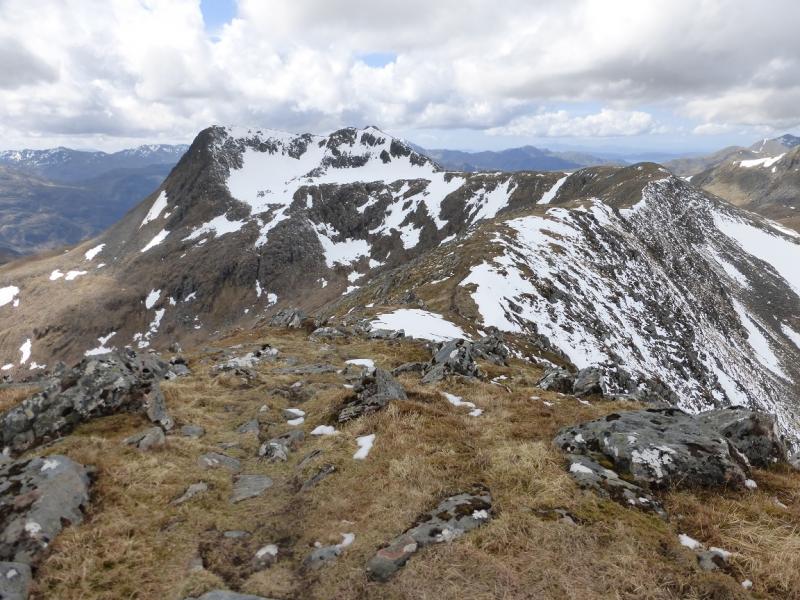
(2) Head roughly SE, across a shallow dip, for about 400 m, to reach a medium cairn which marks the summit of Sgurr na Sgine, 946 m.
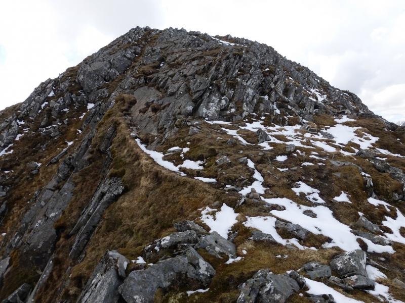
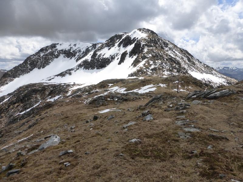
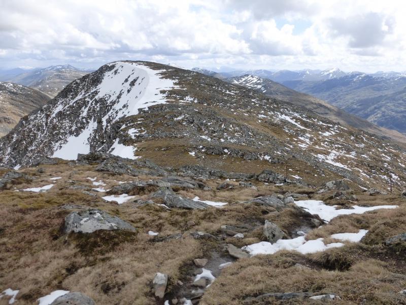
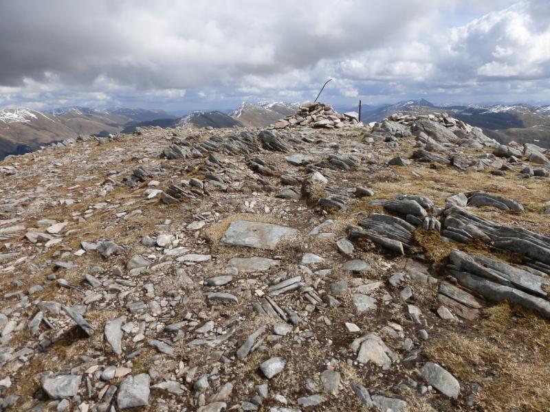
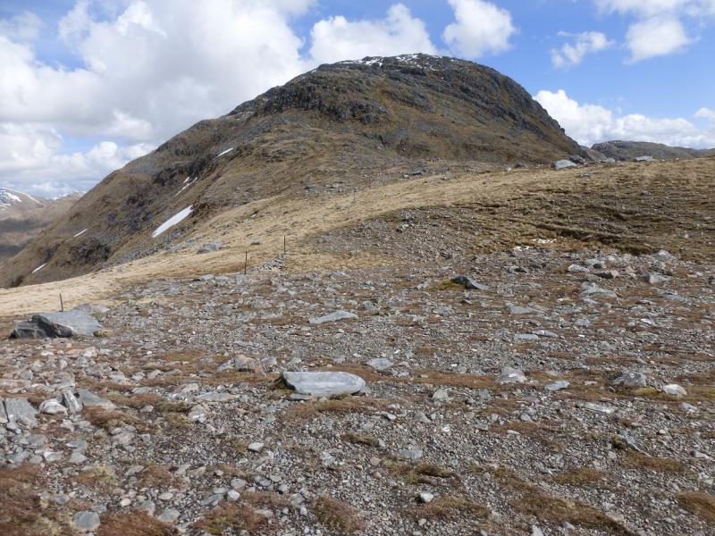
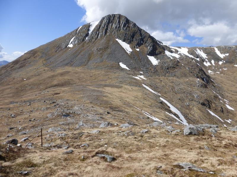
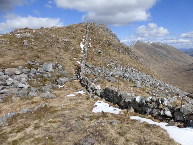
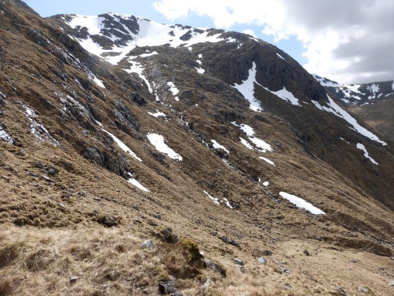
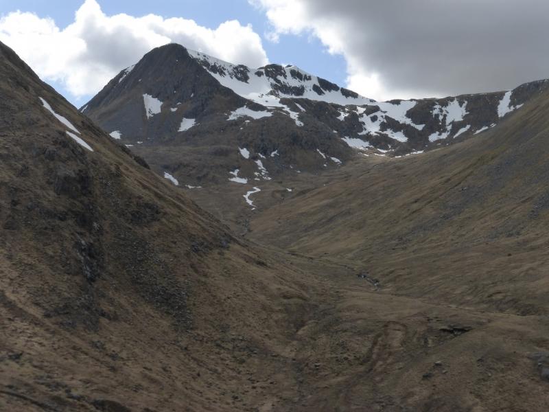
(3) A direct descent to the col to Sgurr a' Bhac Chaolais is not possible as this side of Sgurr na Sgine is too steep and rocky. Instead, walk down the easier S ridge for about 500 m until one can pick a way down to a stone wall to the E below. Follow the wall back below Sgurr na Sgine. It ends abruptly just before the bealach so continue on the same line to reach the col. Ascend, following a line of old fence posts. A short boulder field is crossed then one has to pick a way up a loose craggy section where hands are needed on rock but there is no technical difficulty. Easier ground lies much further to the right should it be needed. Once above this section, the angle eases and it is a pleasant walk to the medium cairn on a small outcrop which marks the summit of Sgurr a' Bhac Chaolais, 885 m.
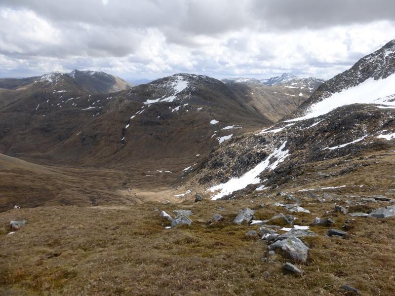
(4) Descend E then slightly N of E down a ridge with a wall. Go over a minor top and continue down to the main bealach where there is a small cairn. This is not very obvious in mist. The path down starts here but is not that obvious. Fortunately, there are a few small cairns in its early stages. Follow the twisting path down and cross the Allt Coire Toiteil. Continue down. When the road disappears then reappears, look for the bridge used earlier and retrace back to the start.
Notes
(a) This walk took place on 9th May, 2015.
(b) Accommodation is limited at Shiel Bridge but there are two camp sites. One behind the garage, the other at Morvich on the old road around Loch Duich. The latter is run by the Caravan Club and has very good facilities including Wi-Fi.
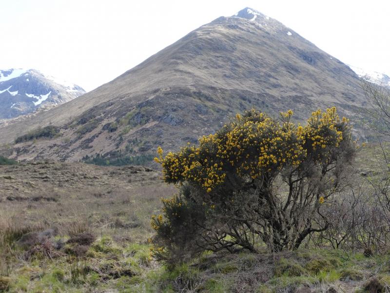
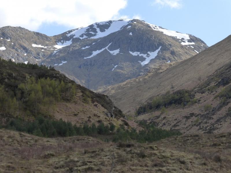
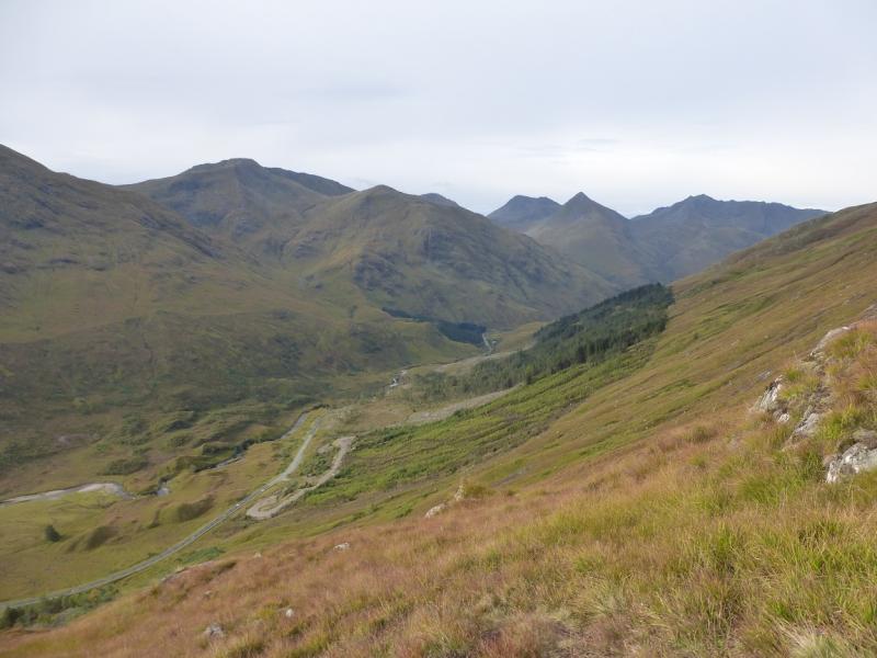
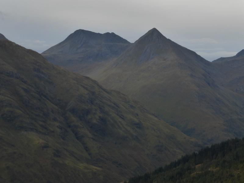
Photos - Hover over photo for caption. Click on to enlarge. Click on again to reduce.