Get Lost Mountaineering
You are here: Scotland » 10b Loch Eil to Glen Shiel » Arnisdale Hills
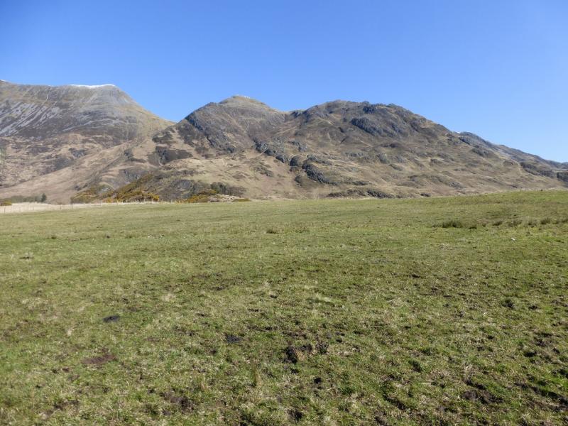
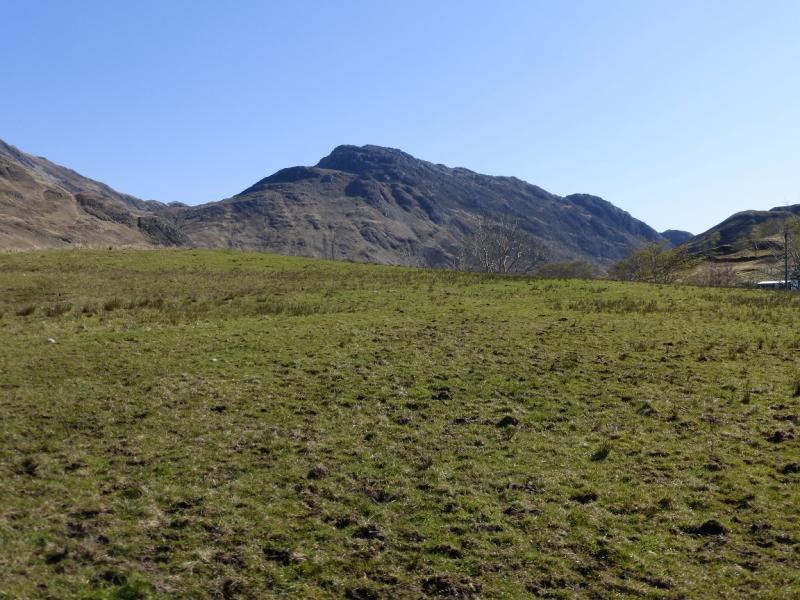
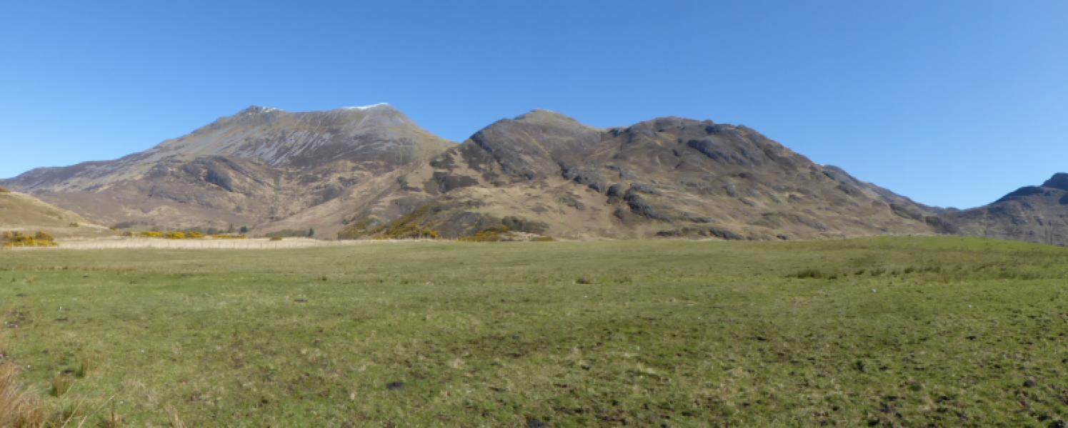
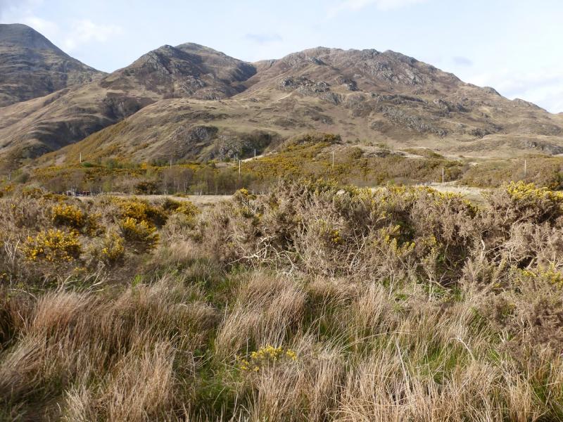
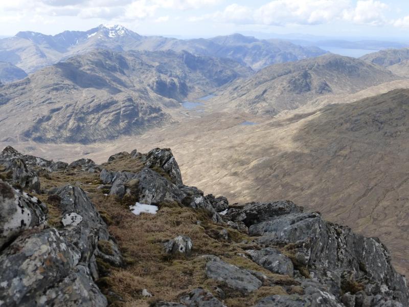
Beinn Clachach, Beinn nan Caoran & Beinn na h-Eaglaise from Corran near Arnisdale
Beinn Clachach, Beinn nan Caoran & Beinn na h-Eaglaise
from Corran near Arnisdale
Start/Finish
The car park at the end of the public road at Corran. From Shiel Bridge, take the Glenelg/Arnisdale road for 19 miles over the Ratagan Pass.Shiel Bridge is on the A87 from Invergarry to the Kyle of Lochalsh.
Distance/Time
14 km About 7 - 8 hours
Peaks
Beinn Clachach, 643 m, NG 885 109.
Beinn nan Caorach, 774 m, NG 871 121.
Beinn na h-Eaglaise, 805 m, NG 853 119. OS sheet 33.
Introduction
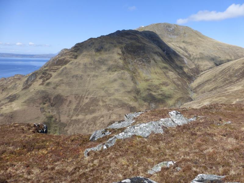
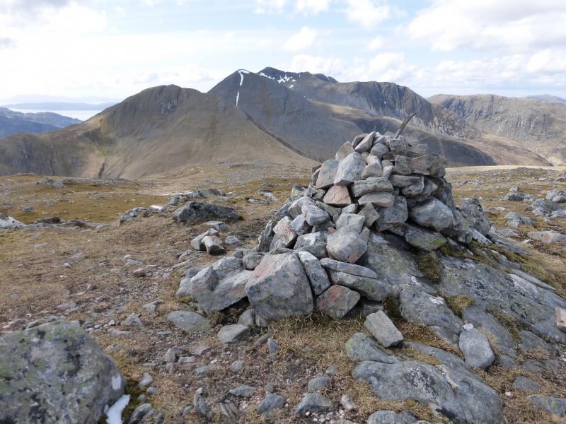
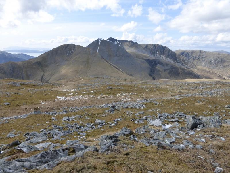
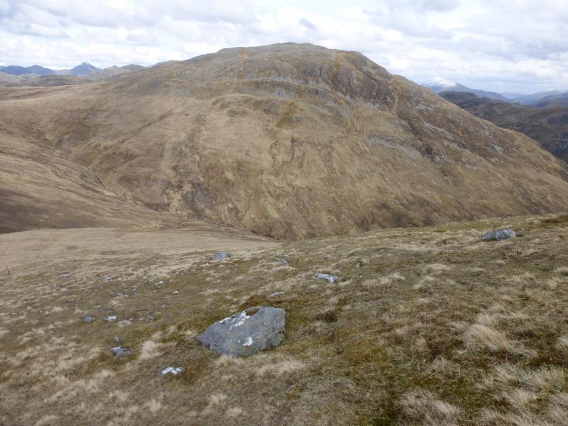
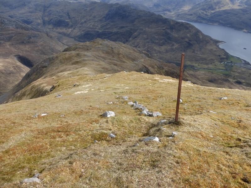
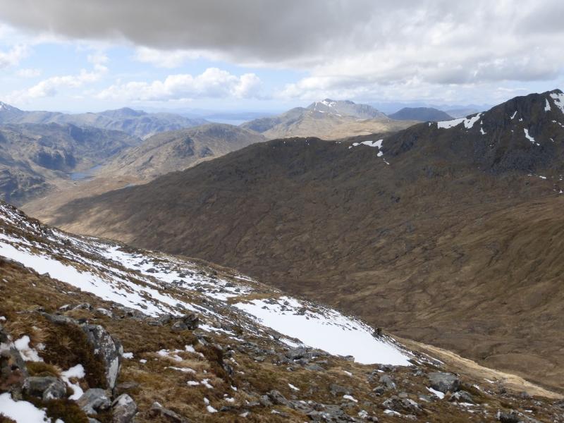
This is a tough walk with a long and steep descent at the end of the day but there are stunning views, especially across Loch Hourn to Ladhar Bheinn and to Beinn Sgritheall. Only the experienced should tackle this route in anything but dry summer conditions.
Route
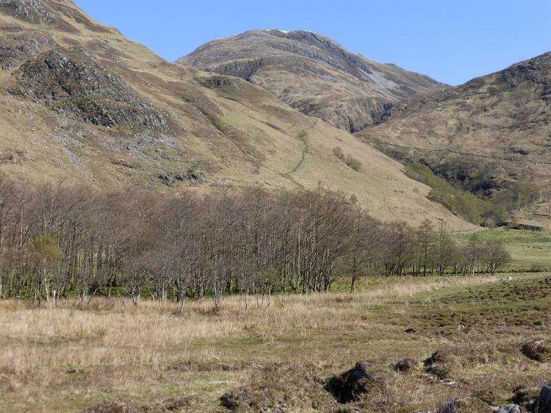
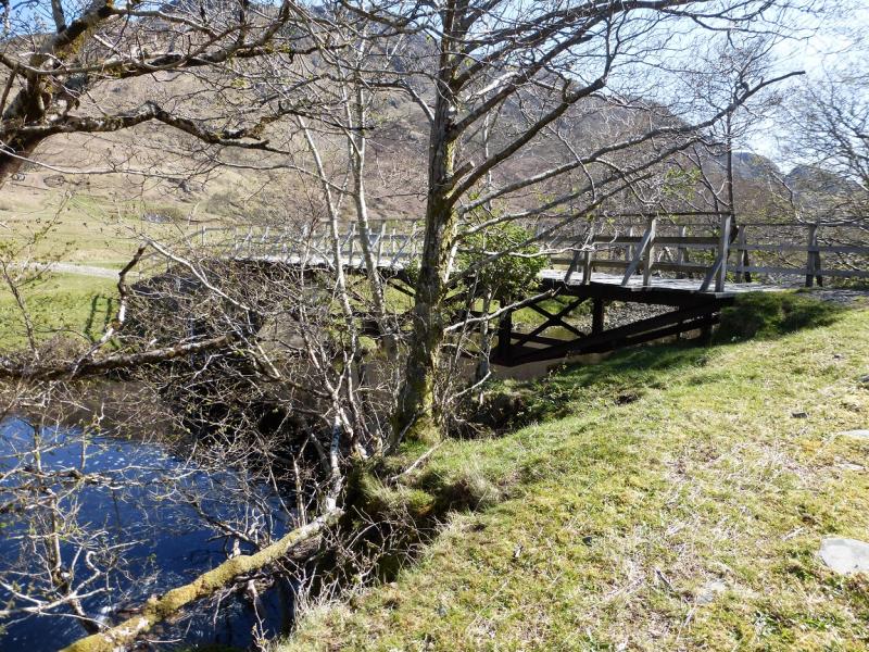
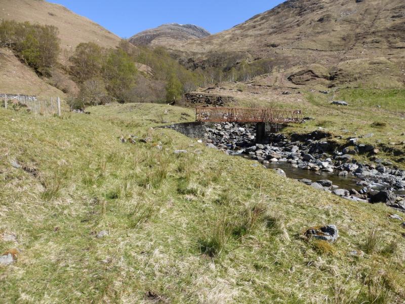
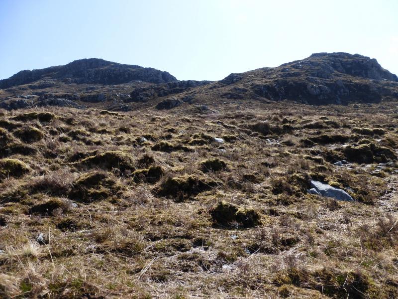
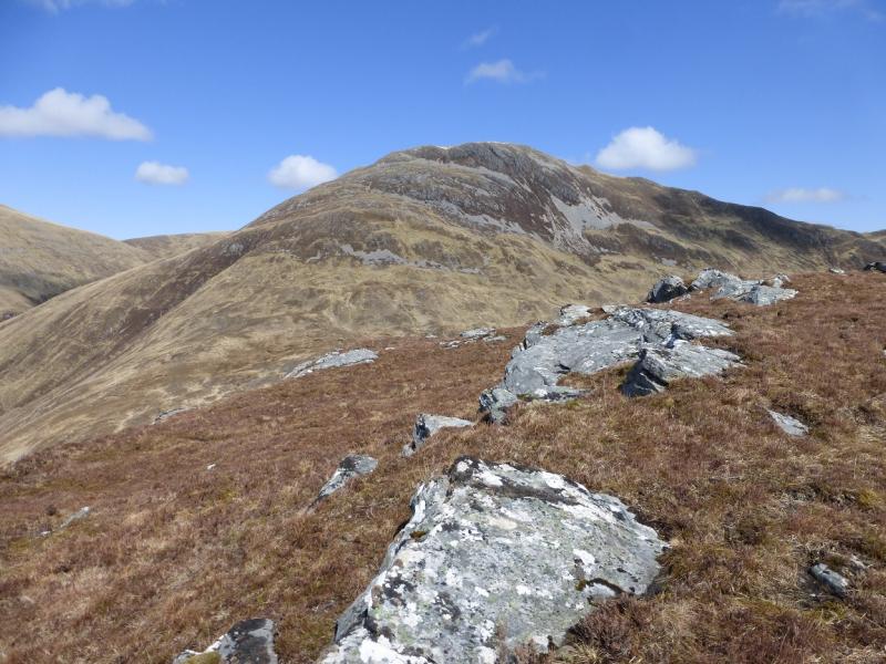
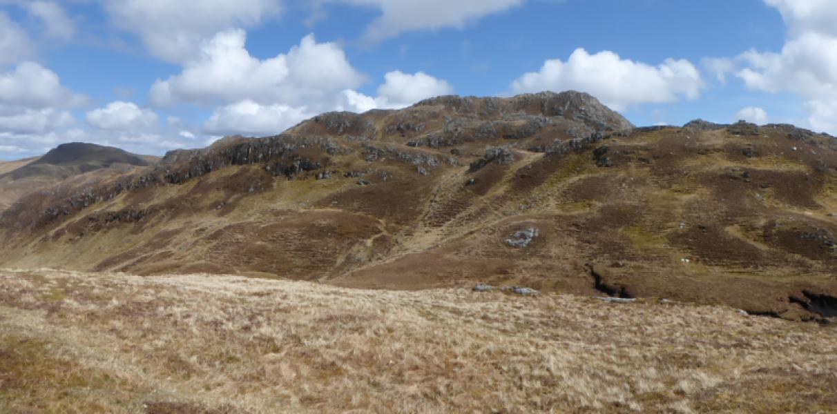
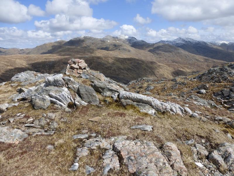
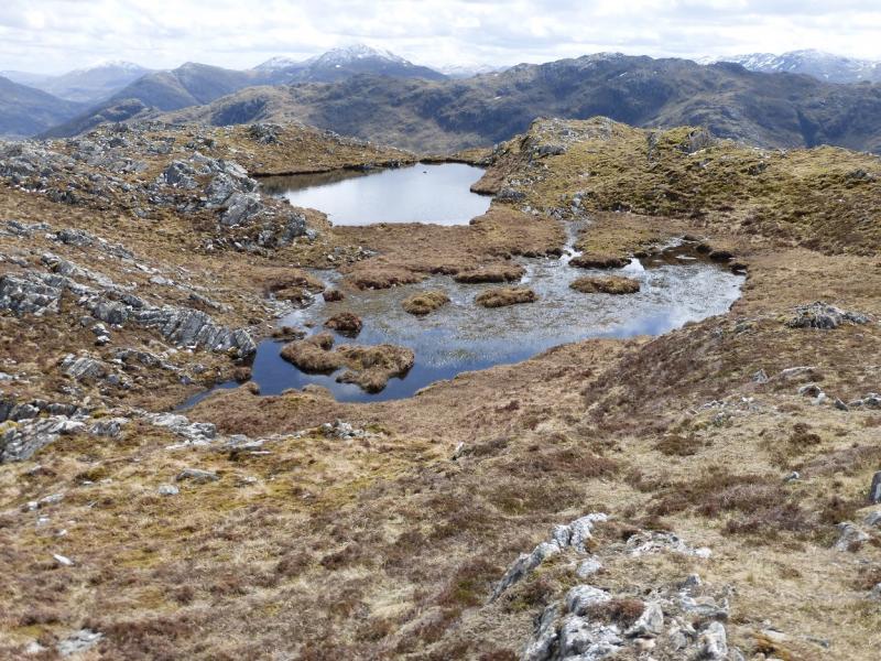
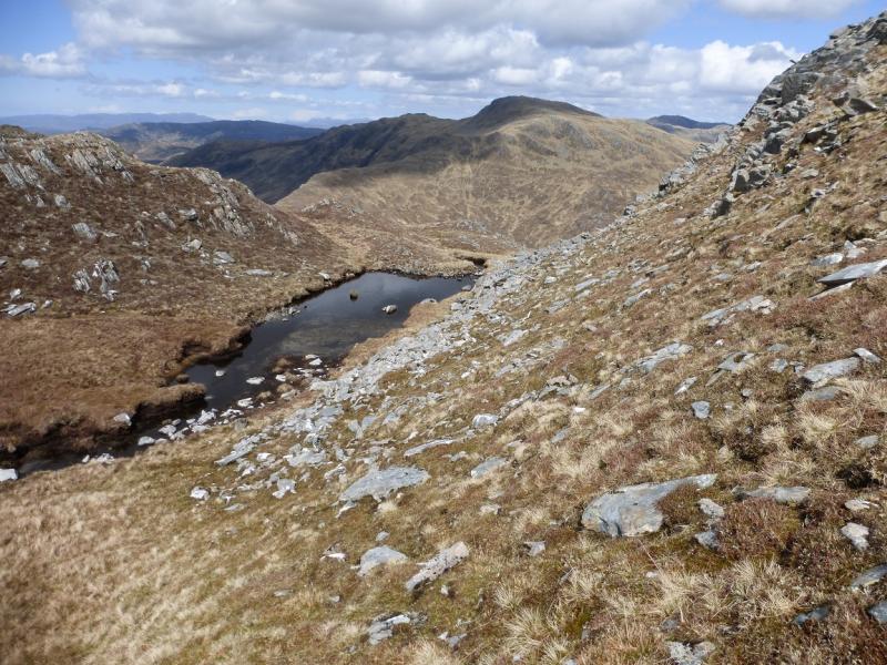
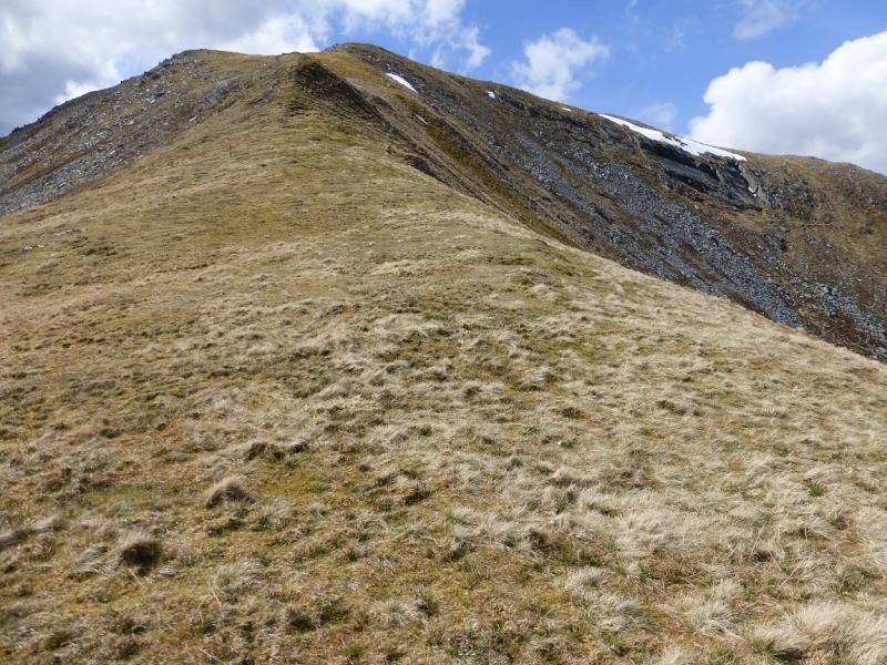
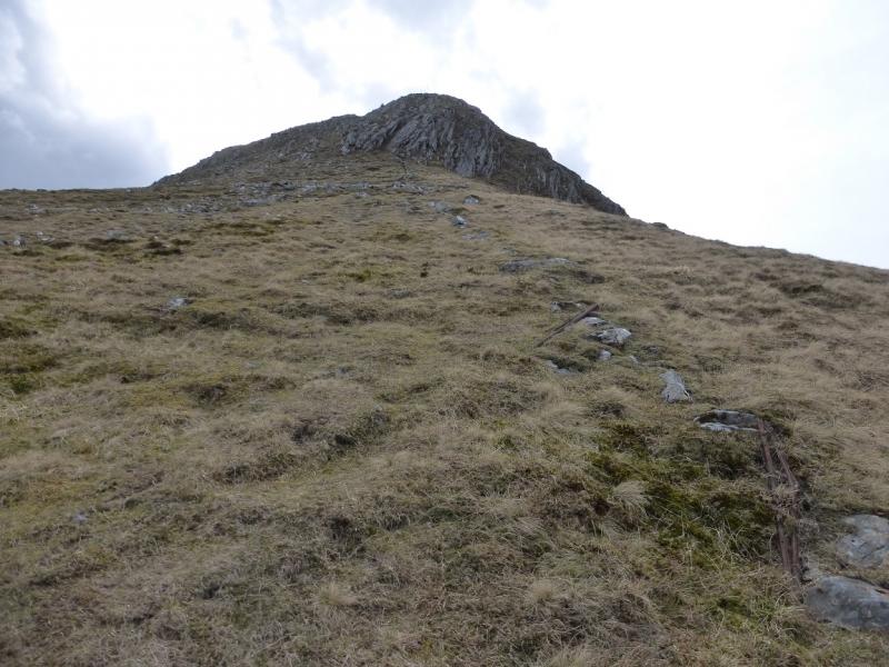
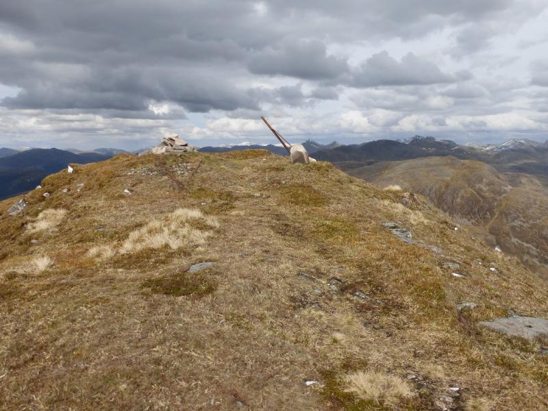
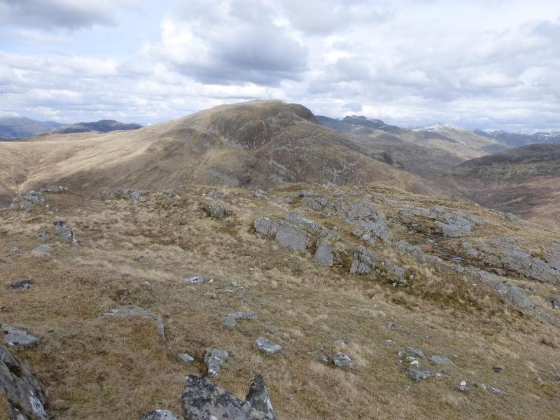
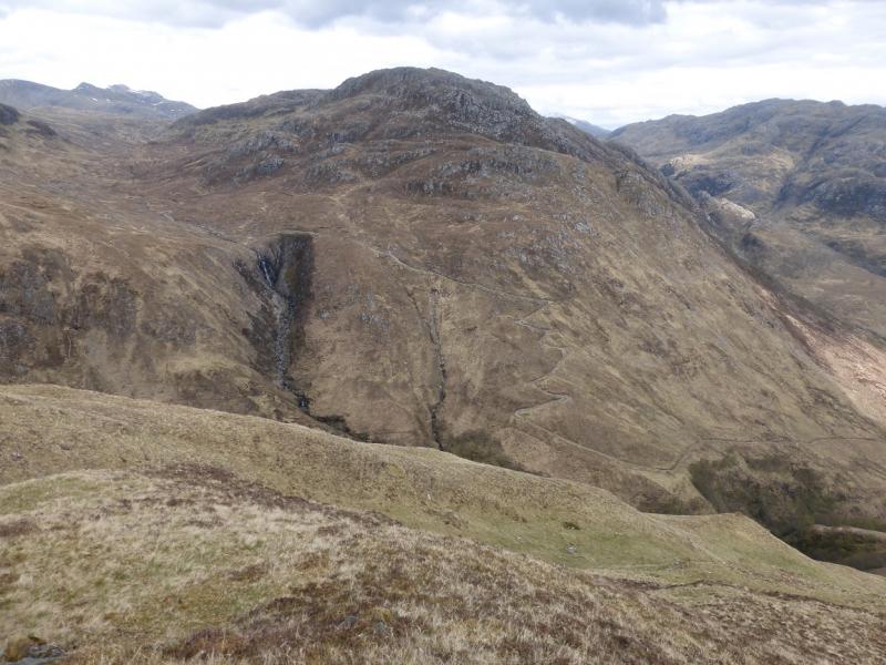
(1) Cross the bridge at the end of the public road then take the signed path immediately after. Follow this, for just over 1 km, to reach a bridge over the River Arnisdale. Cross over and walk NNE to soon reach another bridge over a stream. Cross over and reach the track heading for Coire Chorsalain. The track zig-zags up and levels about just above an impressive waterfall. Leave the track about here and pick a way, over rough ground, to the shoulder on the W end of Beinn Clachach. From here, a faint path leads towards the rocky W flank of Beinn Clachach. The path traverses right below the crags before picking its way up, gradually trending left. Hands will be needed on rock but there are no technical difficulties and soon the angle eases and one can walk up a grassy ramp to the small cairn marking the W Top which is not the summit. Descend E and walk along a broad undulating ridge for about 1.2 km then pick a way up the craggy slopes. The easiest way is to go around to the right then ascend N. There are tow high points but only the N one has a cairn so this is the summit of Beinn Clachach, 643 m. There are tow lochans to the S and one to the N of the summit.
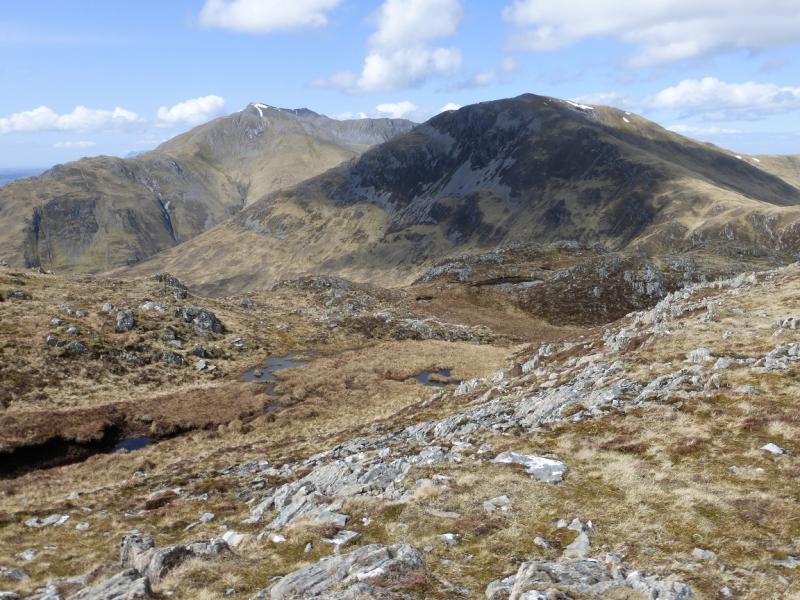
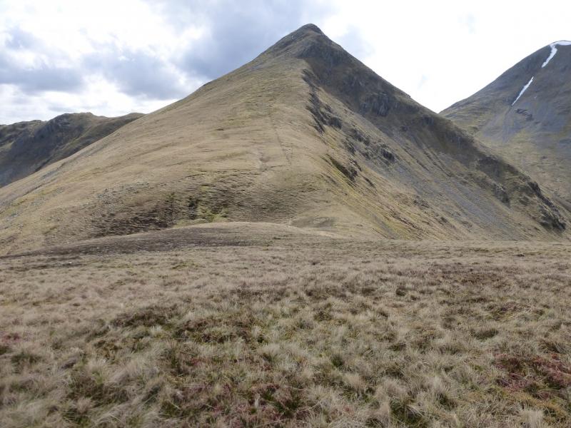
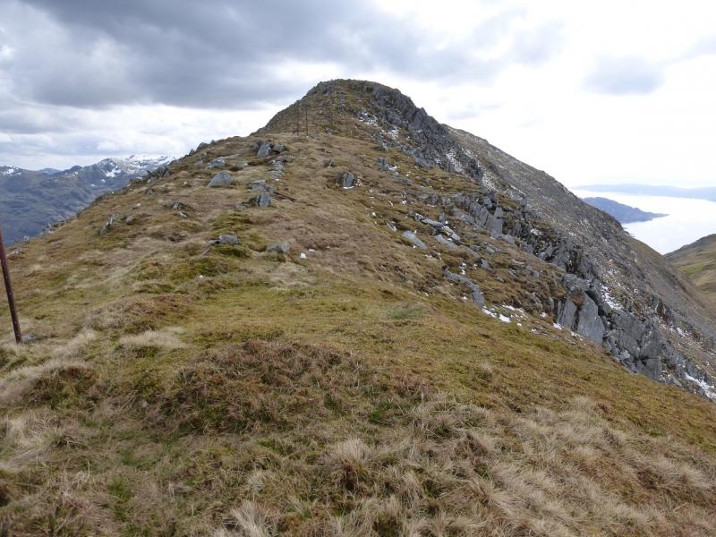
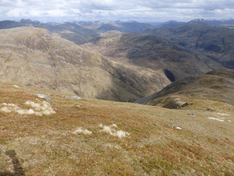
(2) Descend the N ridge, aiming for the head of Coire Chorsalain. There is no path and one must weave around a lot to avoid steep rocky sections. Generally, the descent is easier on the right, E. Reach the head of Coire Chorsalain then ascend up,N, to gain the E ridge of Beinn nan Caorach. Follow this up, heading W. There is a path in places and the ridge is well defined although steep; it leads to a medium cairn which marks the summit of Beinn nan Caorach, 774 m.
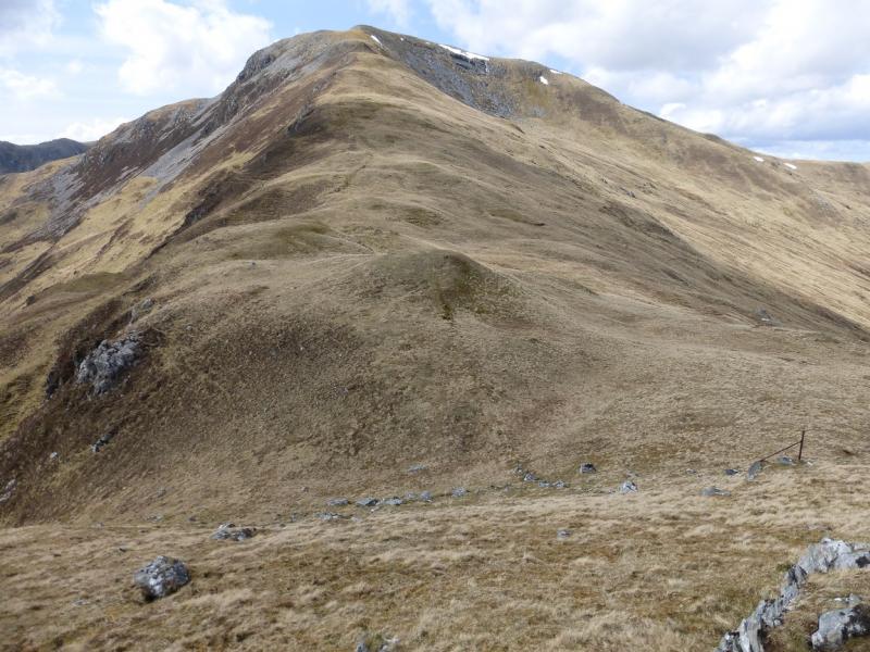
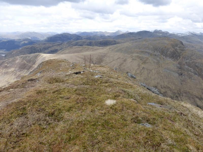
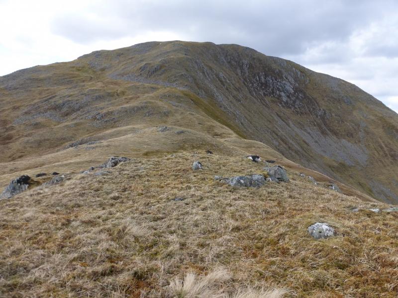
(3) Descend N, roughly following a line of old fence posts. When the angle eases, go around the top of the grassy gully and traverseNW over easy grassy slopes to reach the bealach at the bottom of the SE ridge of Beinn na h-Eaglaise. Ascend this, following a line of old fence posts. It is steep and steepens even more higher up. Eventually, the angle eases and a medium cairn is reached which marks the summit of Beinn na h-Eaglaise, 805 m.
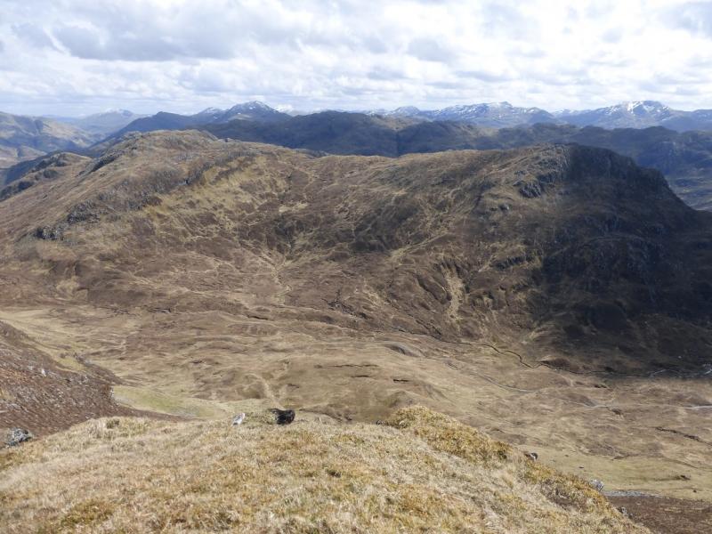
(4) Continue along the crest for about 30 m then look for a faint path going off left and descending steeply SE to a level section before ascending slightly to Beinn Bhuidhe which has several tops. One of the lower tops has a small cairn. Continue down the steep ridge heading roughly SSE to SE and weaving around considerably to avoid the crags. Generally, the easier ground is to the left. Eventually, reach easier ground lower down then drift right, aiming for the obvious track. Follow this to the road then turn left for Corran.
Notes
(a) This walk took place on 8th May, 2015.
(b) Accommodation is limited at Shiel Bridge but there are two camp sites. One behind the garage, the other at Morvich on the old road around Loch Duich. The latter is run by the Caravan Club and has very good facilities including Wi-Fi.
Photos - Hover over photo for caption. Click on to enlarge. Click on again to reduce.