Get Lost Mountaineering
You are here: England » Peak District » West of Hayfield to Buxton Road
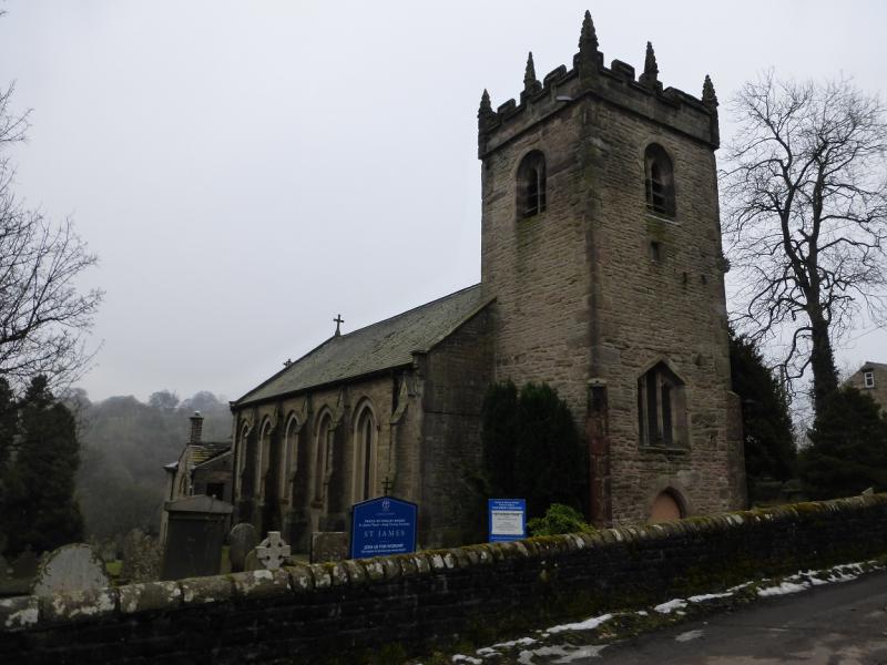
Taxal Edge, Cats Tor, Shining Tor, Shooter's Clough, Foxlow Edge & Hoo Moor from Taxal Church
Taxal Edge, Cats Tor, Shining Tor, Shooter's Clough, Foxlow Edge & Hoo Moor
from Taxal Church
Start/Finish
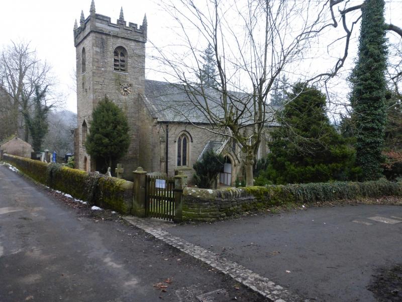
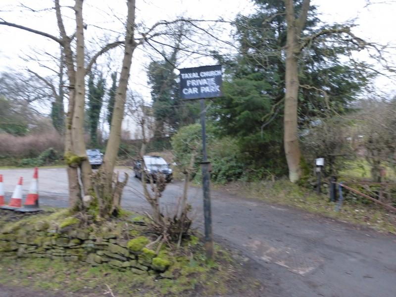
Taxal Church car park which is opposite the church at SK 006 797. This is almost at the top of the maps West sheet. Whilst the whole of the route is on map OL 24, the approach to the start is not. From the major crossroads at Horwich End, just to the south of Whaley Bridge where the A6 and A5002 meet, take the A5002 for Macclesfield. Go up the hill but before the top, turn left into Linglongs Road which is signed for Taxal. Follow this straight, ignoring where it seems to bend round to the right, and soon reach the church where there is a car park opposite. Parking is only allowed when the church is not being used so that rules out Sundays! A contribution is requested for parking. If parking here is not possible then the nearest place is across the River Goyt, on the A5002, about half a mile south of the crossroads from where it looks like paths and tracks lead, across the river, to the church, about 350 m away. This alternative start has not been checked out!
Distance/Time
16 km About 5 – 6 hours
Peaks
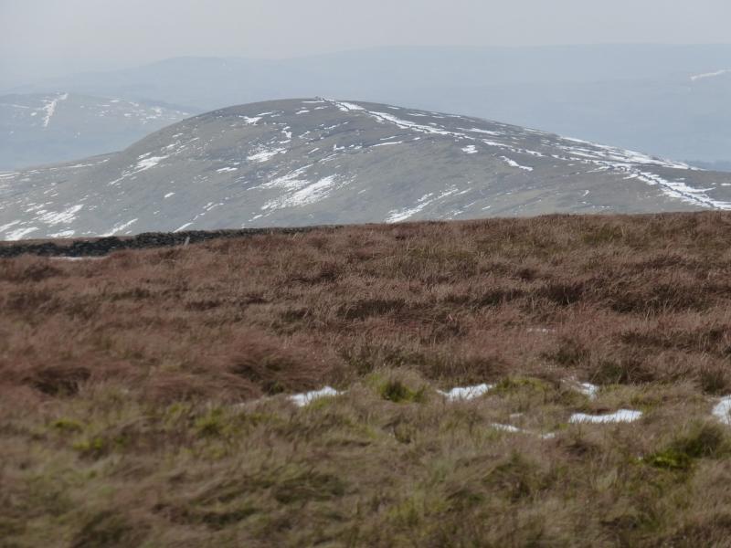
Cats Tor, c 530 m, SJ 995 758.
Shining Tor, 559 m, SJ 995 737.
Foxlow Edge, 452 m, SK 004 757.
Hoo Moor, c 454 m, SK 001 763. OS Outdoor Leisure 24: White Peak.
Introduction
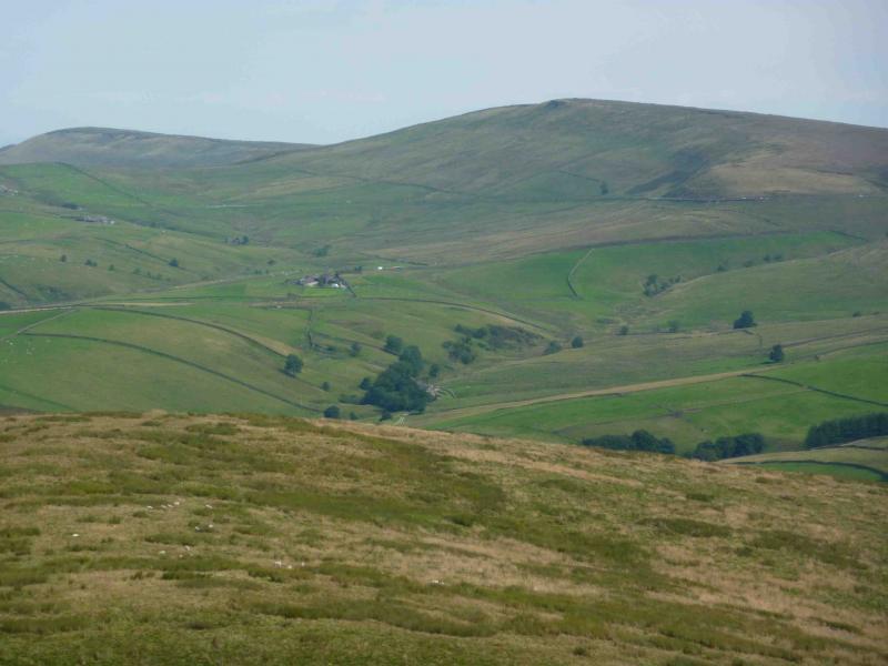
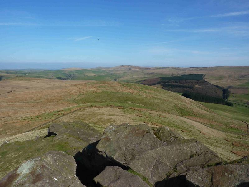
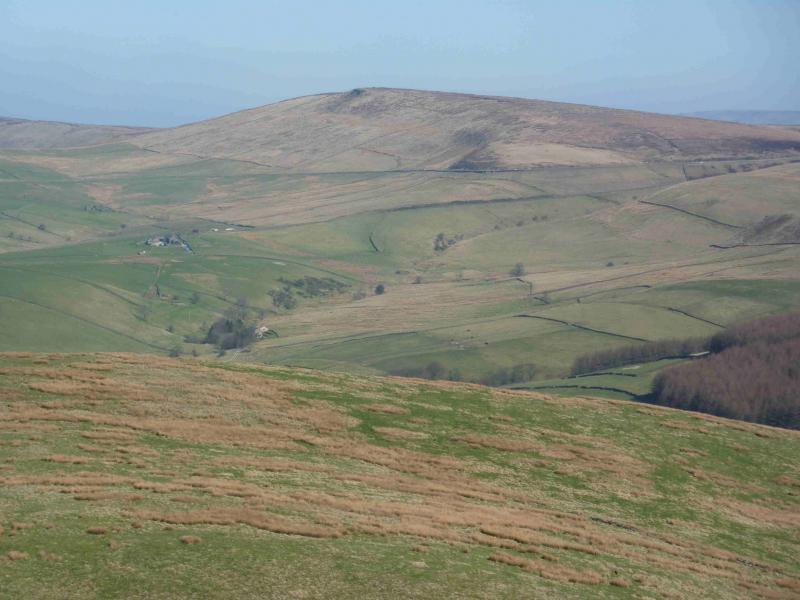
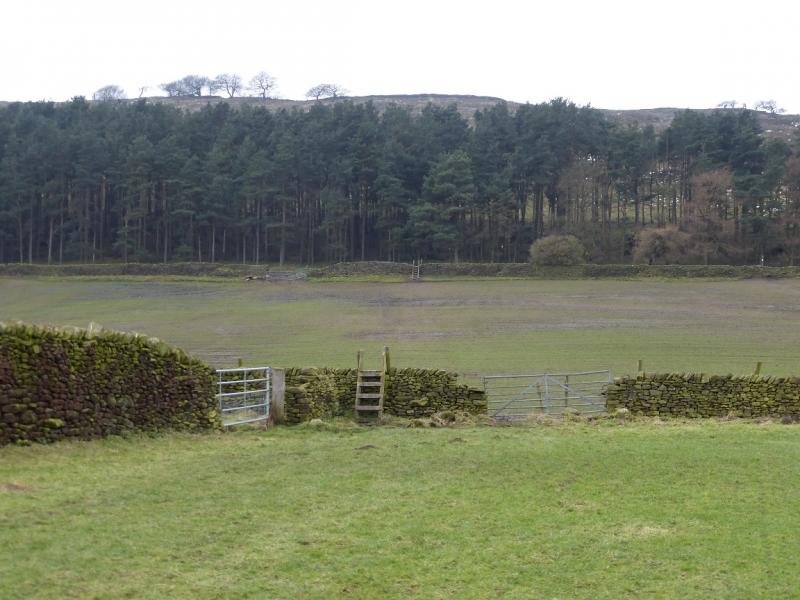
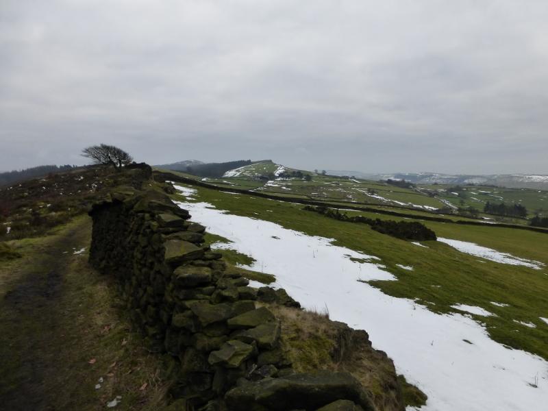
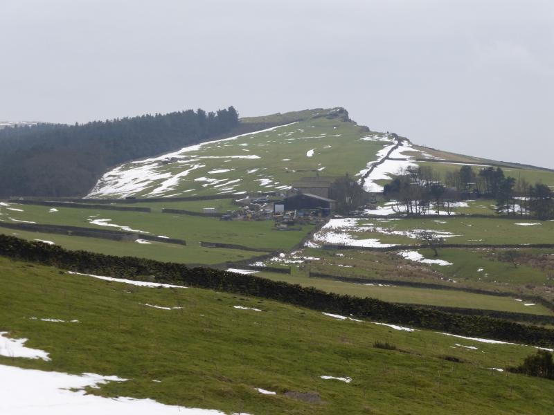
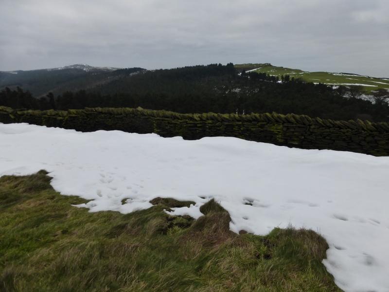
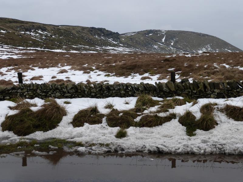
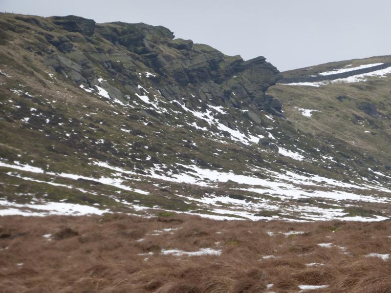
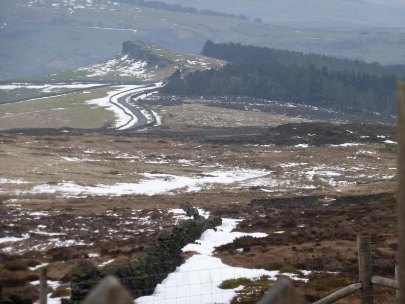
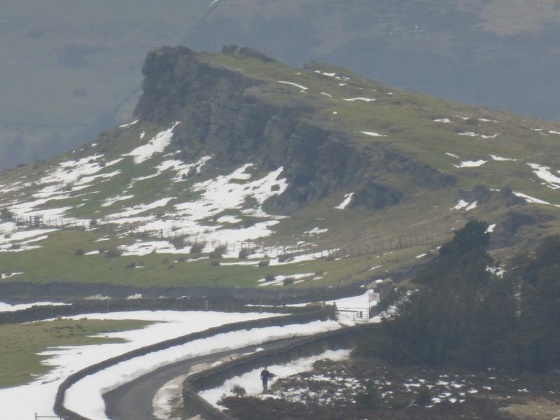
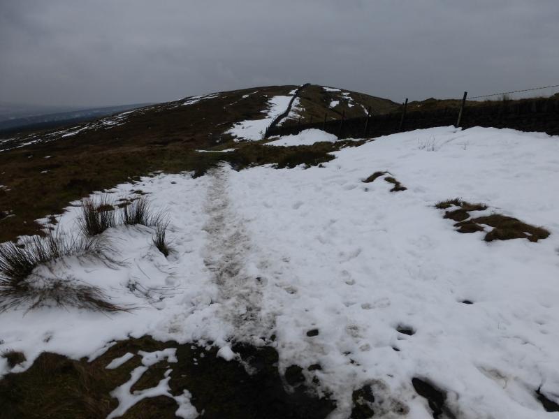
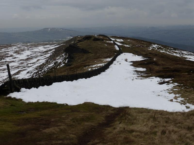
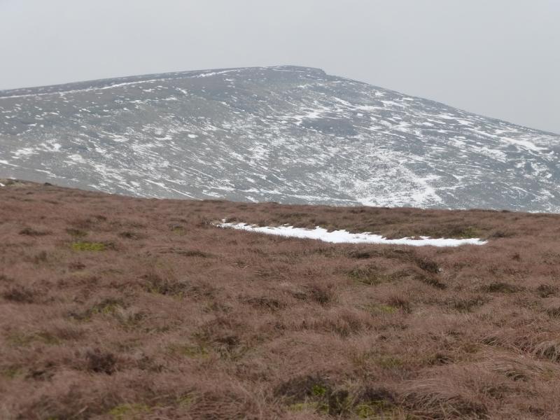
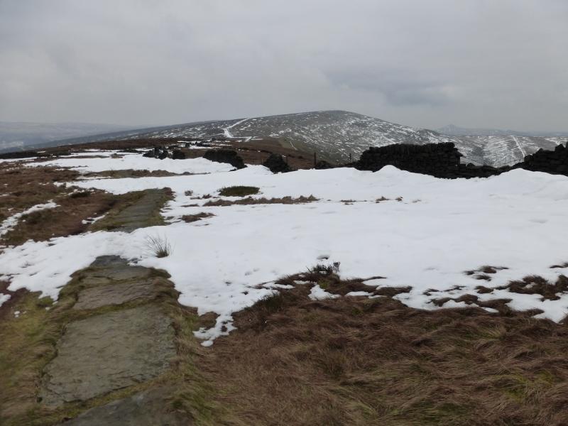
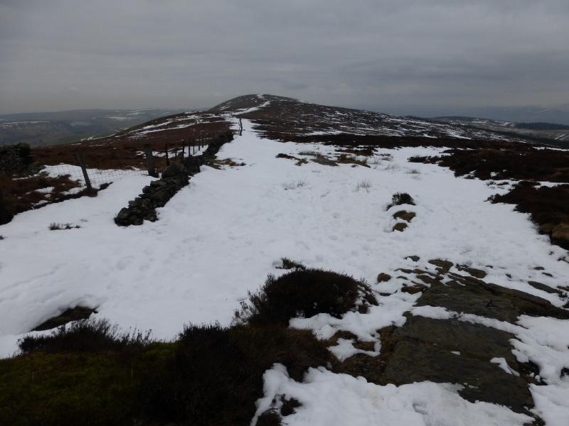
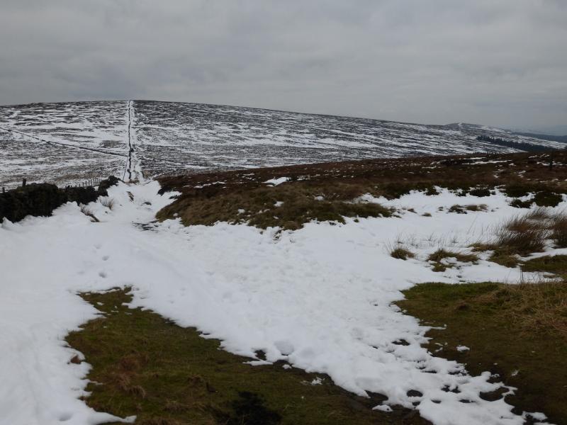
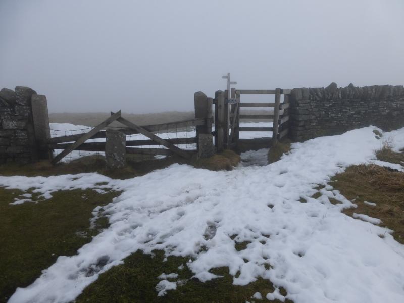
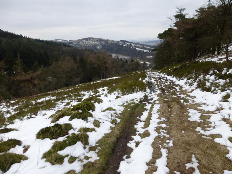
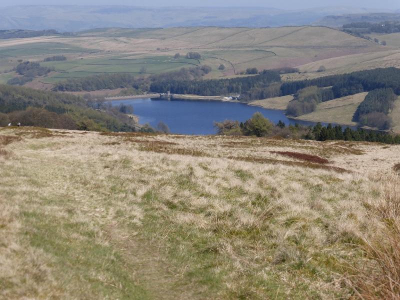
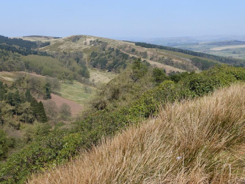
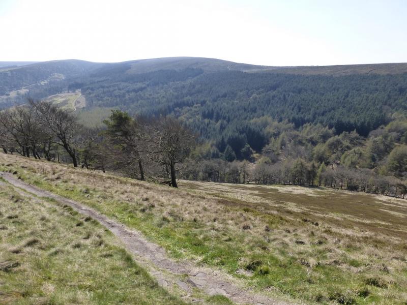
This is an easy and pleasant walk with excellent views on a clear day which include Shutlingsloe (nicknamed the “Cheshire Matterhorn”). On a misty day, navigation is not too taxing as there are good paths to follow. The paths can be boggy so this route can be more attractive when the ground is frozen. Snow is not uncommon in winter in these parts. This walk was undertaken in thick mist then repeated two days later in clearer conditions. Photos from both days are included to show the difference. There is a very similar walk uploaded which varies the route back from Shining Tor. Note that the route does not follow a right of way after it crosses The Street (tarmac road after Foxlow Edge). Alternatives to this section are given in the notes below.
Route
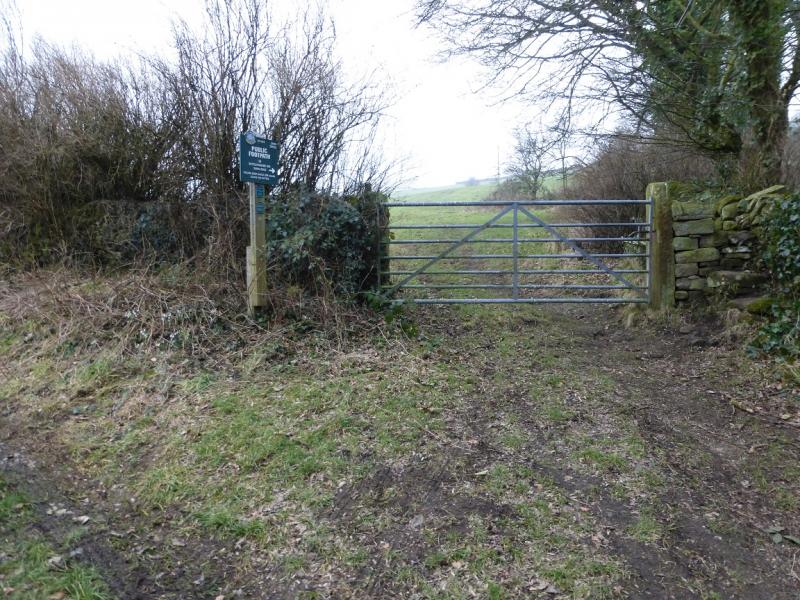
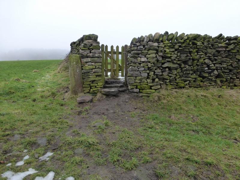
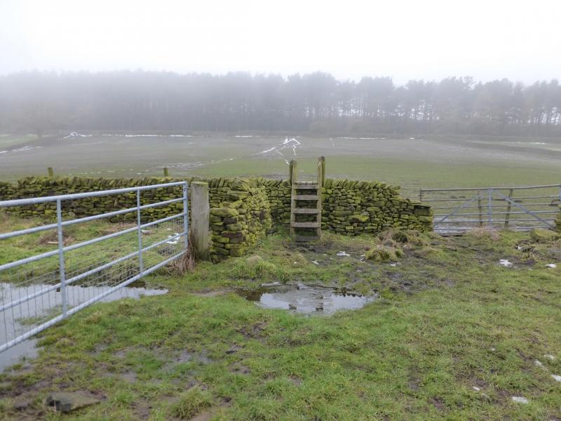
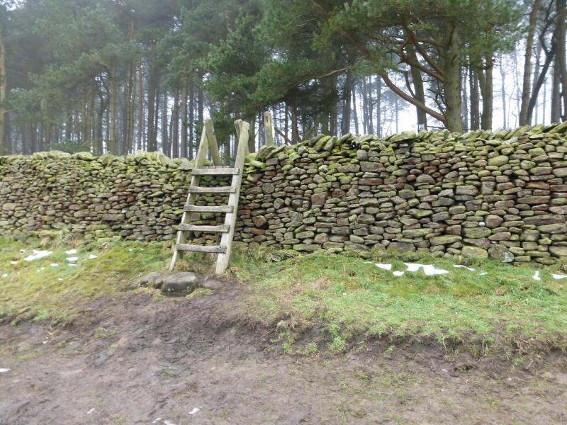
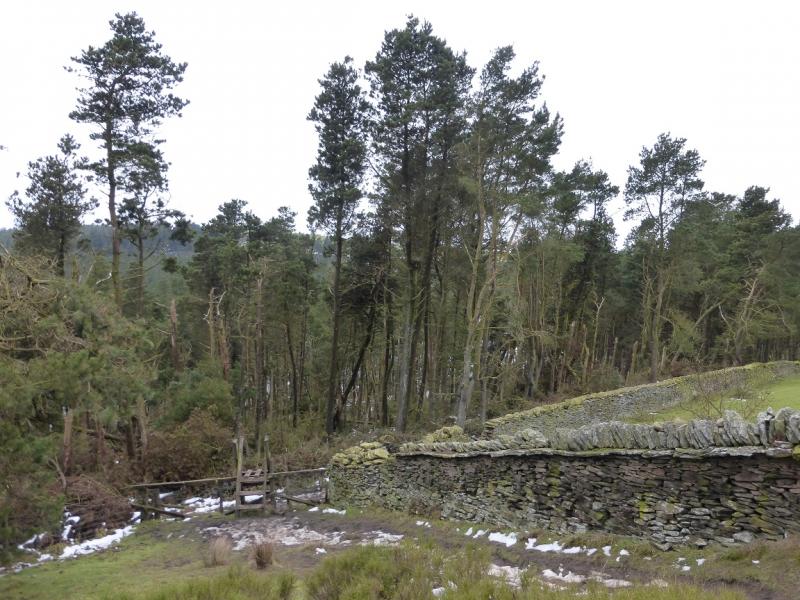
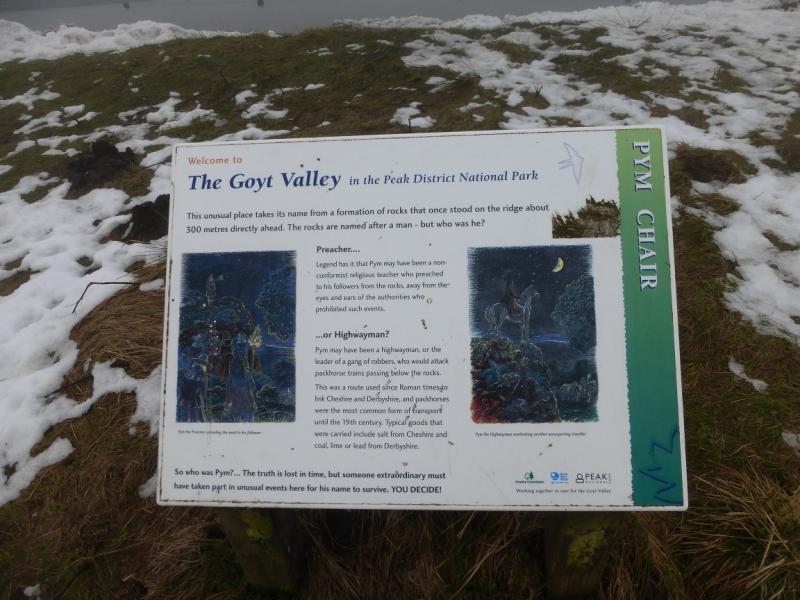
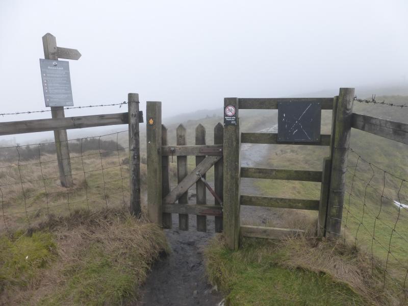
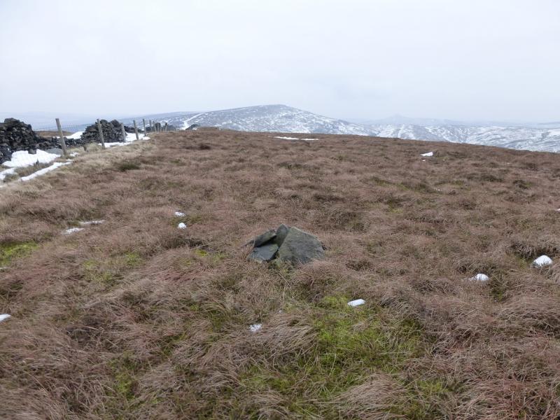
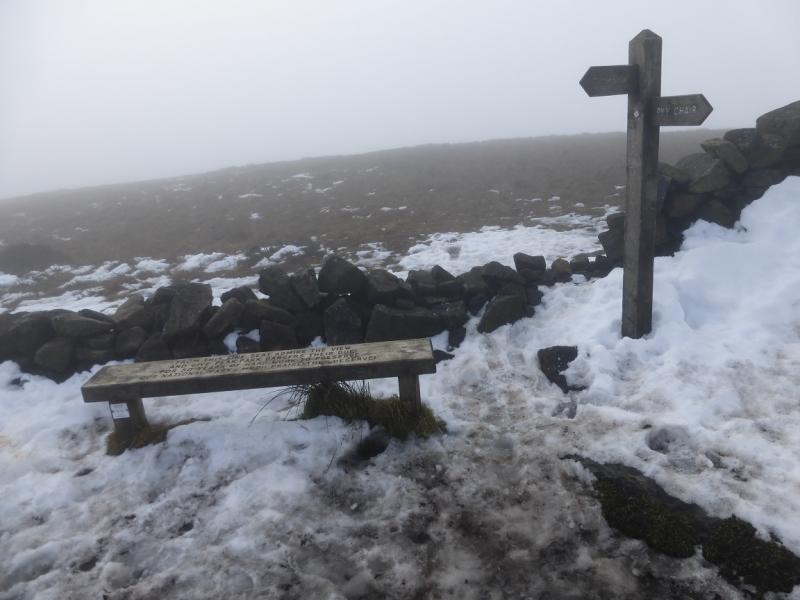
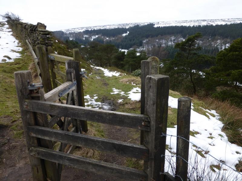
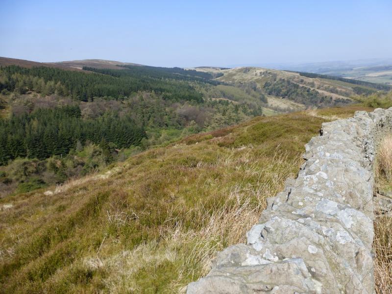
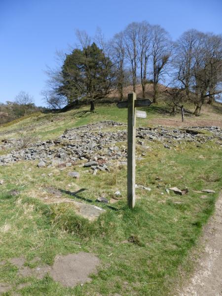
(1) From the church car park, continue up the road. Go past the rectory, on the right, to reach a footpath sign. Follow the path, through 4 fields, boggy in places, to reach Taxal Moor Road at a stile. Cross the road and go straight up the path, through a thin wood, opposite the stile to reach a wall. Follow a path, not shown on the map, on the E side of the wall which leads along a ridge to reach another path on the edge of a wood at SJ 999 787. Go right here and descend slightly to reach a sign post which points the way to Windgather Rocks, a path forking left down into the wood. Follow the path through the wood, crossing a small footbridge and heading almost due W. Reach the top of the wood and either follow its edge to a meeting of walls then turn right and soon reach the crest of Taxal Edge at Windgather Rocks. Better still, though, ignore the path along the top of the wood and go ahead through the gap in the wall to reach the edge then turn left and walk along the edge; this includes more of Windgather Rocks. Walk S past Windgather Rocks after which the path meets a road. There is a path on the E side behind a wall. Follow this S or, if it is boggy, just walk along the quiet road. If on the path, reach a small gate and join the road. Follow this to reach a T junction just after Pym Chair car park. Turn left, past an information sign. Which explains that Pym Chair was (no longer exists) a feature on an outcrop on the ridge to Cats Tor A path appears on the right of the road which soon goes through a gate, signed for Shining Tor. Take this path and follow it, by a wall, along the crest. The wall on the right is high with barbed wire on top. Further on, it becomes broken. At the highest point of the path, cross the wall and low fence to reach a tiny cairn which marks the summit of Cats Tor, c 530 m. In mist the cairn could easily be missed.
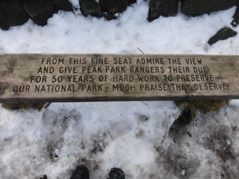
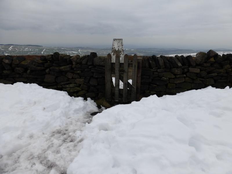
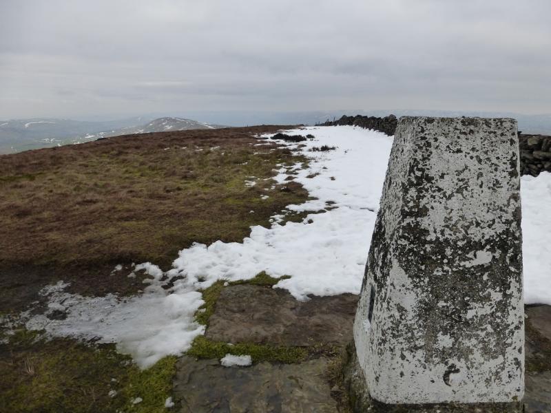
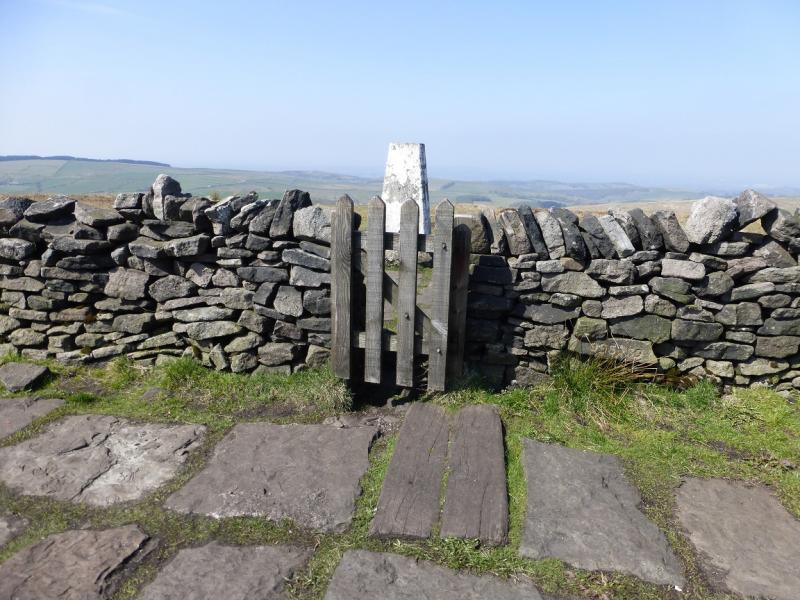
(2) Descend gently for about 1 km then ascend for about 2 km to reach the trig point, sign post and bench which mark the summit of Shining Tor, 559 m.
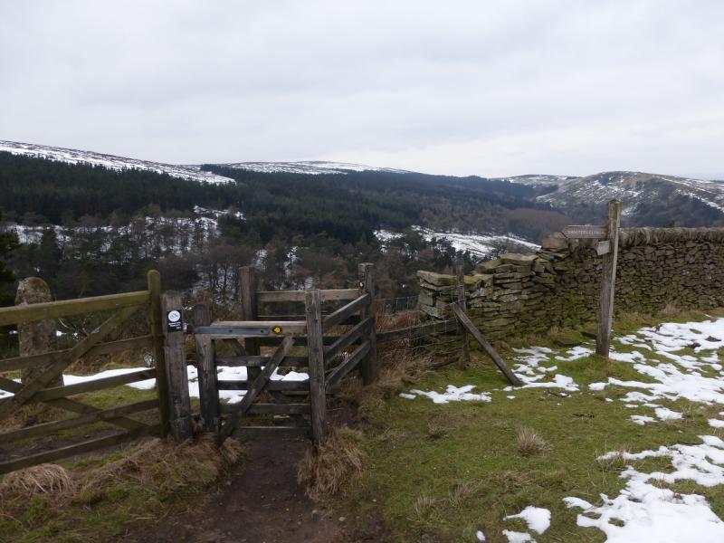
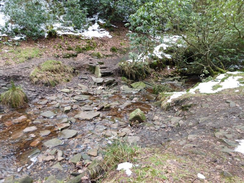
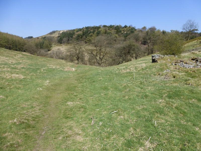
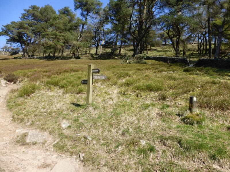
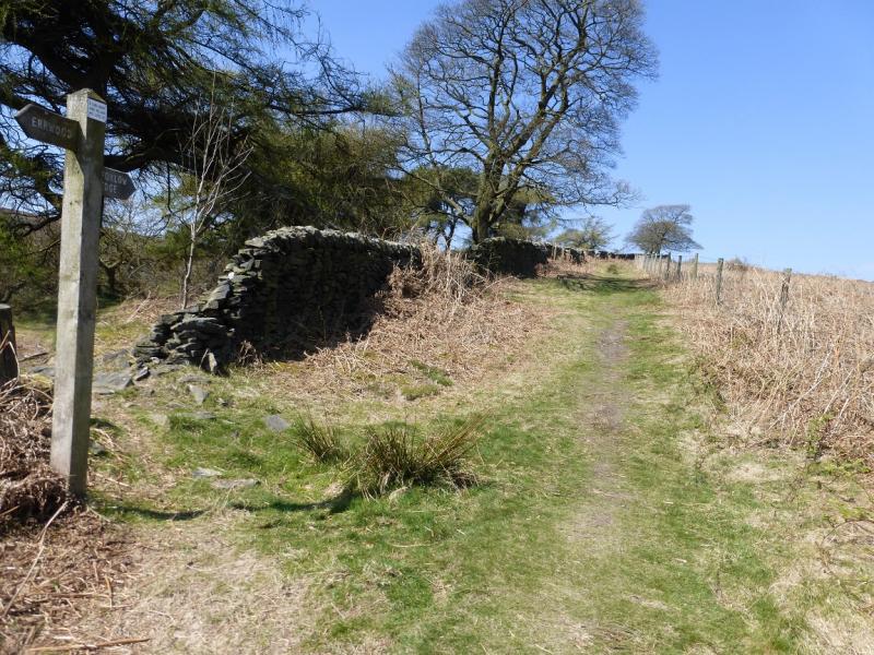
(3) Descend S, signed Stake Side, following a path by a wall. This crosses a broad col then ascends slightly to a gate in a wall and another sign post. Go left for Errwood and descend very gently by a wall. Lower down there is a sign for Shooter's Clough. Take this path which initially doubles back before descending into the pretty Shooter's Clough. Cross the stream then follow the path, until the sign post is reached which points the way (ahead) to Foxlow. Soon after, the path makes a short descent to cross a bridge over a stream, above which there is a bench. Continue, roughly N, ascending gently until another sign post is reached which points the way to Foxlow Edge as a reverse right fork. Follow the path to reach another sign post on the crest then continue up to the top. There is no cairn but the highest point appears to be close to where three walls meet so this is the summit of Foxlow Edge, 452 m.
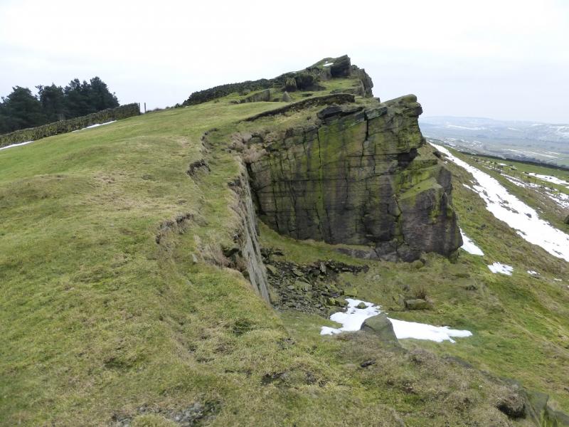
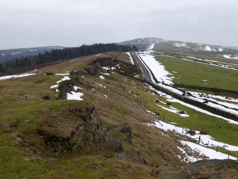
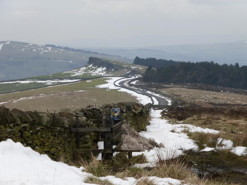
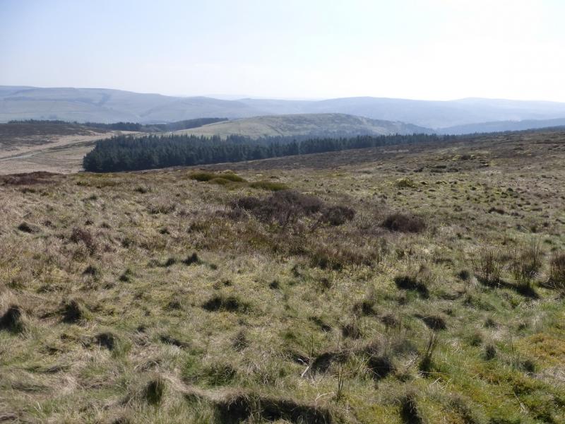
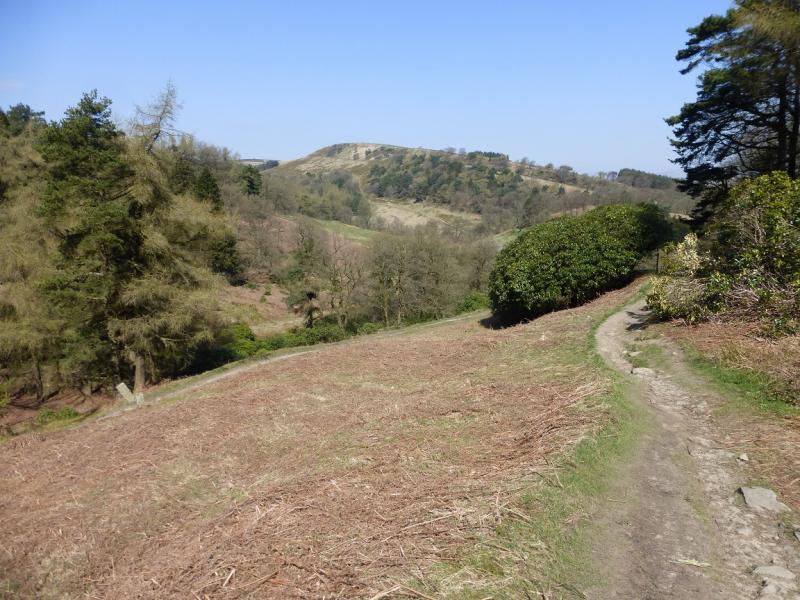
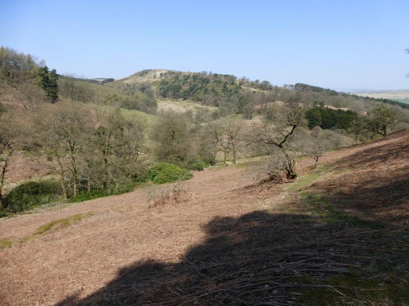
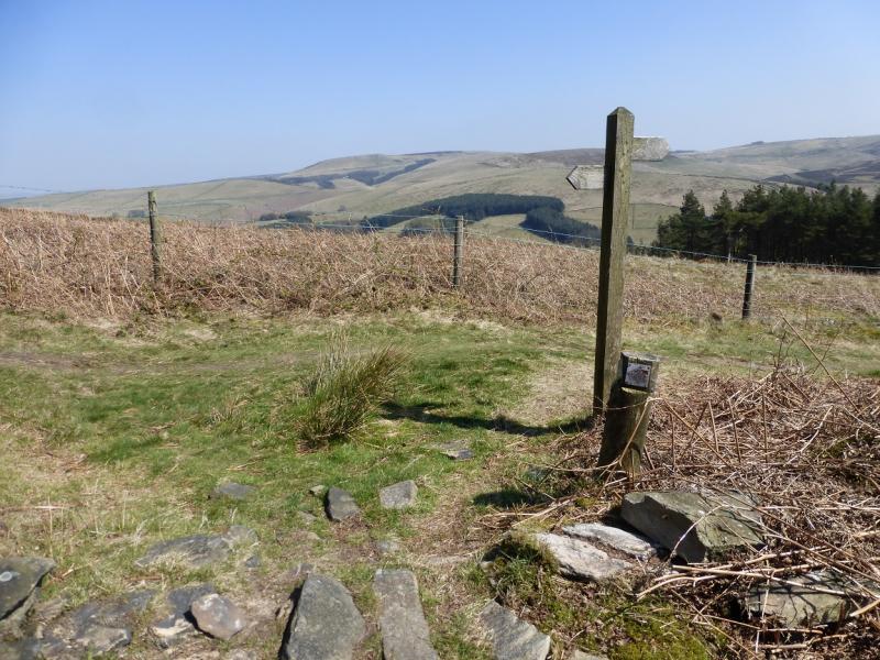
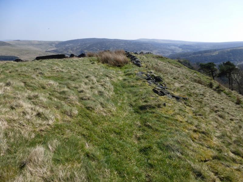
(4) Continue along the grassy edge, descending gently to rejoin the path left earlier and make a short, gentle ascent to the tarmac road known as The Street. Either step over the wire fence and head for the highest point (ahead) or walk left, gently uphill, to a gate which may have to be climbed over then head for the highest point. There is no obvious path and the ground is rough. Reach Hoo Moor summit, 452 m where there is no cairn.
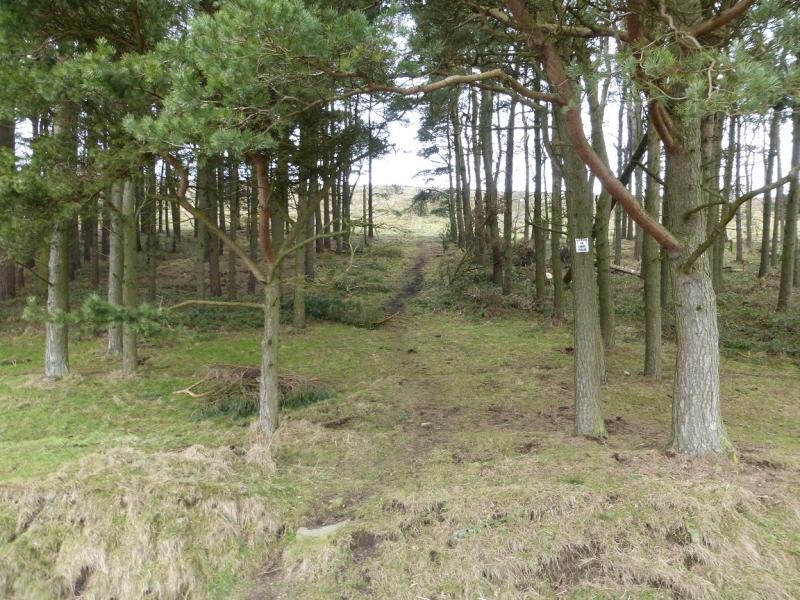
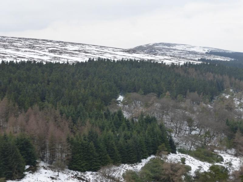
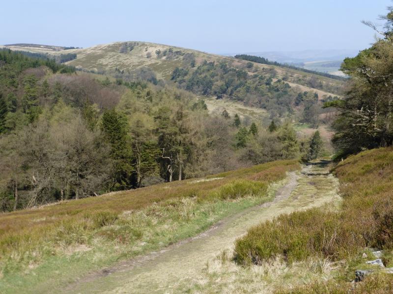
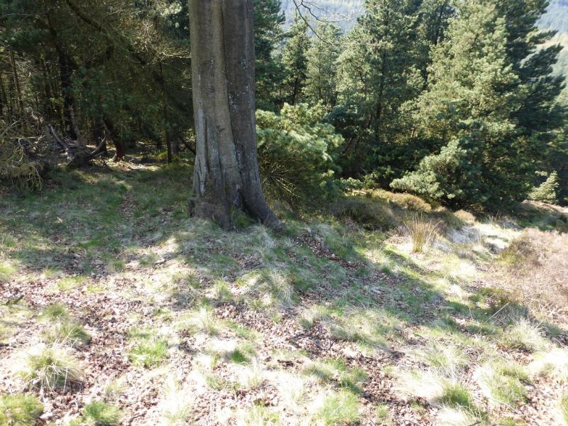
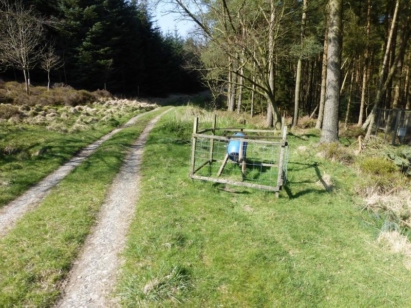
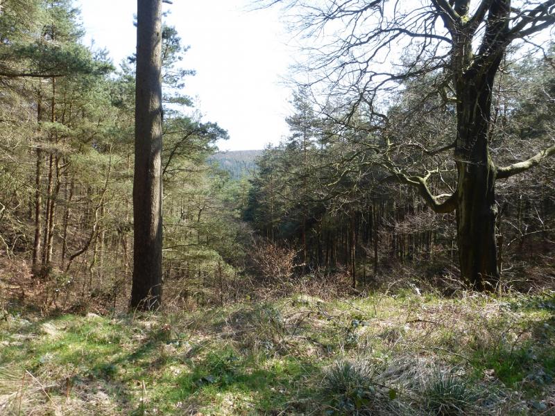
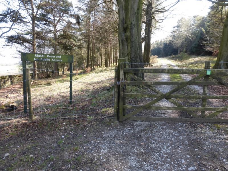
(5) Continue N along the obvious ridge where a faint path may be found. Lower down, this becomes a rough but faint track. When the crest goes NE at about SK 003 778, the track goes left and starts descending towards Mill Clough. At a large tree, the track splits. Take the right fork and follow it down. It gets faint in places and there are a few fallen trees so pick your way carefully. The track leads to a low flat bridge. Cross over and follow the track up a narrow firebreak. The ascent is short and, within about 400 m, the main forestry track is reached. Follow this N then E then N again – there are no junctions to worry about – to emerge at the S end of Taxal Moor Road and find that you have just walked through a private forest! Walk N along the road to reach the stile used on the outward route. Cross over and descend through the four fields back to the Rectory. Turn left on to the road and soon reach the church car park.
Notes
(a) This walk took place on 21st April, 2015 with a variation (avoiding Foxlow Edge and Hoo Moor) on12th February, 2015, and a slightly shorter version of the 12/2 walk (avoiding Shooter's Clough) on 10th February, 2015.
(b) To avoid the Hoo Moor section, there are two choices. Either go right, E, descending The Street for about 800 m to reach the Midshires Way which can be followed (many twists and turns!) back to Taxal Church or go left, W, up The Street to reach the Pym Chair car park then retrace the outward route. Note that this part of the Midshires Way has not been checked out between The Street and where it crosses the bottom of Mill Clough but it seems to be a well signed long distance path.
Photos - Hover over photo for caption. Click on to enlarge. Click on again to reduce.