Get Lost Mountaineering
You are here: England » North Pennines
Dufton Pike, Backstone Edge & High Cup Nick from Dufton
Dufton Pike, Backstone Edge & High Cup Nick from Dufton
Start/Finish
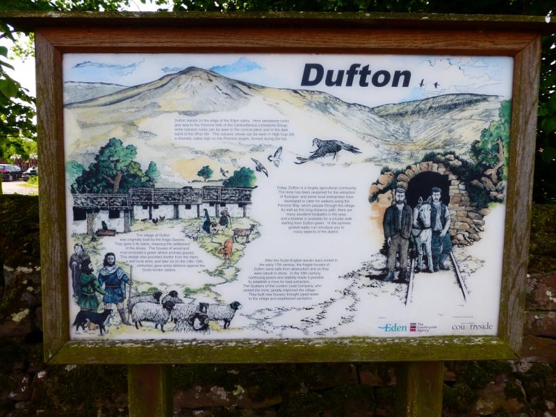
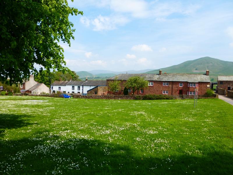
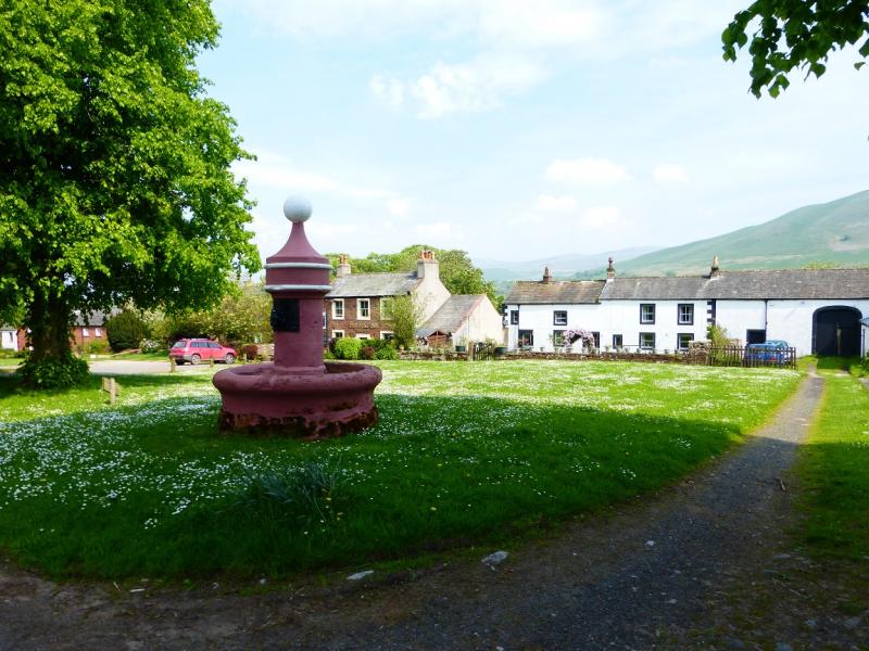
Dufton village is situated to the north of the A66 road from Scotch Corner to Penrith. It lies almost due north of Appleby and is signed off the A66. There is a small car park with toilets in Dufton. If full then some on street parking is available but do not park where residents will be inconvenienced.
Distance/Time
16 km About 5 - 6 hours
Peaks
Dufton Pike, 481 m, NY 700 267.
Backstone Edge “Top”, 699 m, NY 725 277. OS 1: 50 000, Sheet 91.
OS Explorer Map OL19, Howgill fells & Upper Eden Valley
Introduction
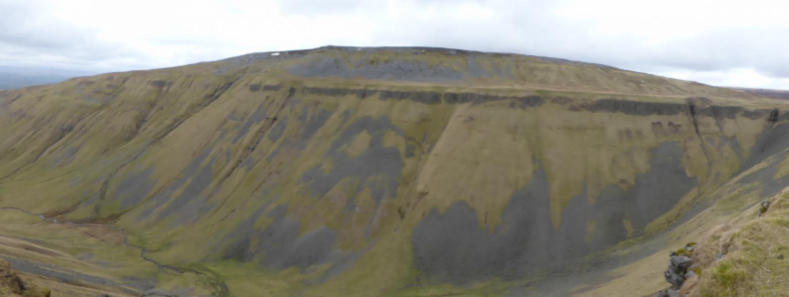
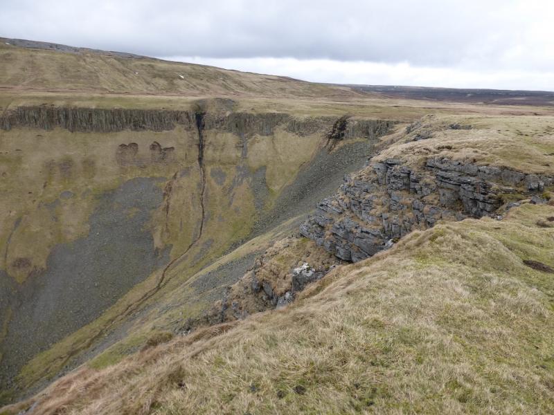
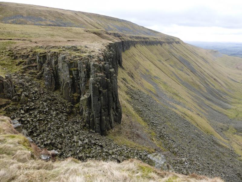
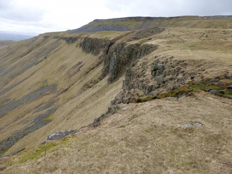
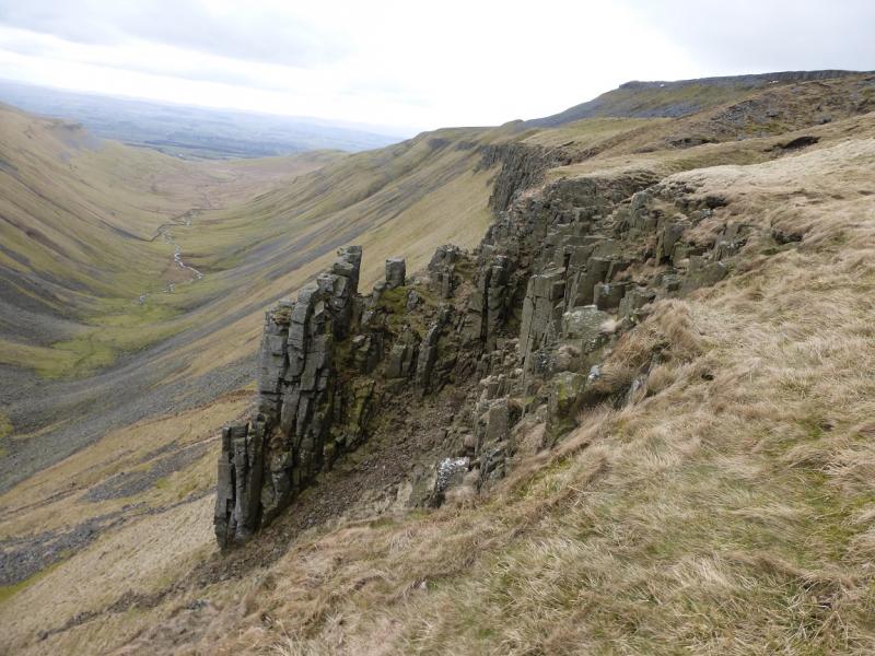
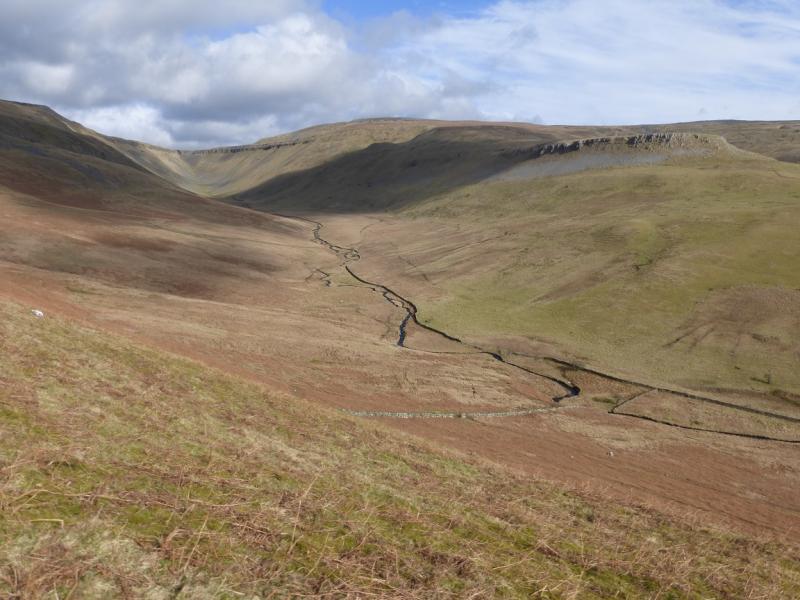
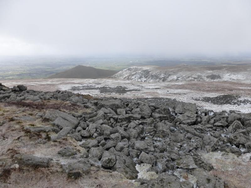
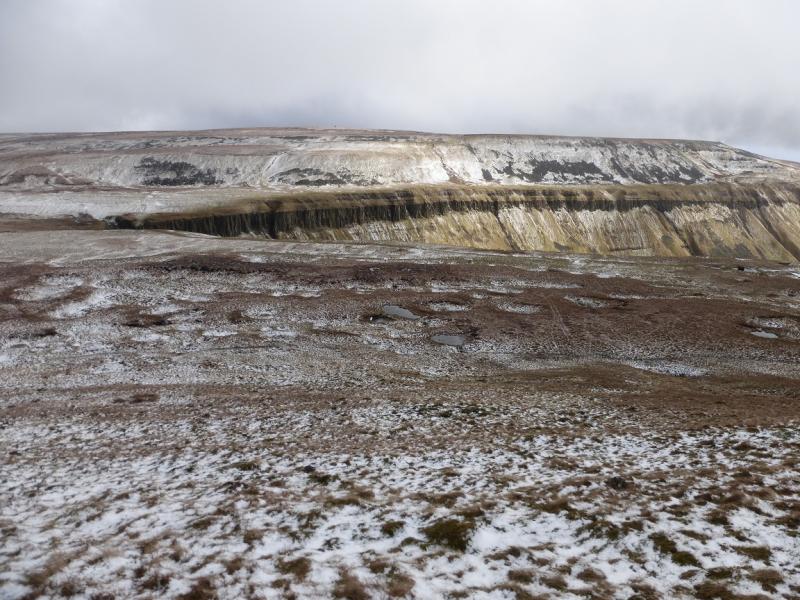
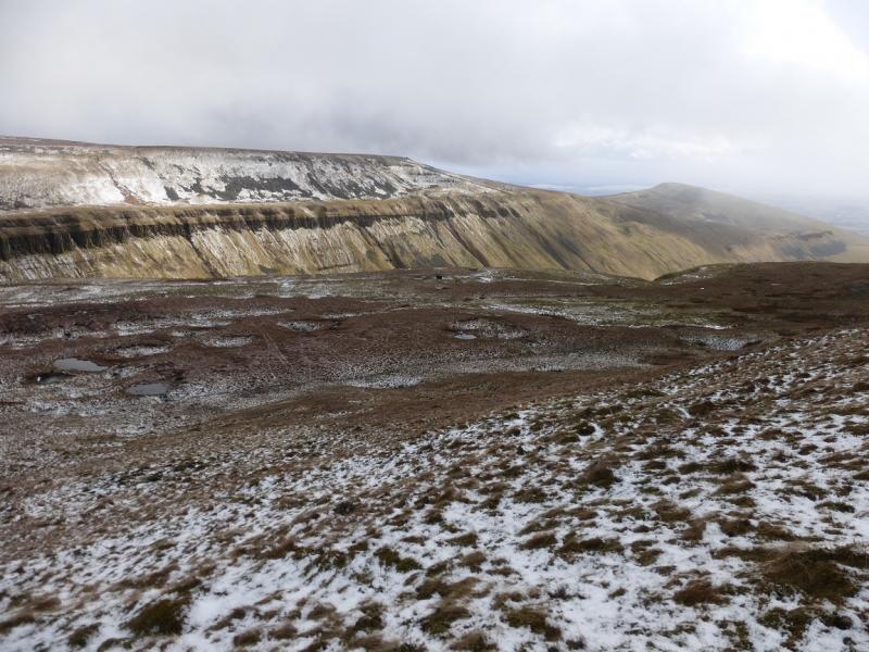
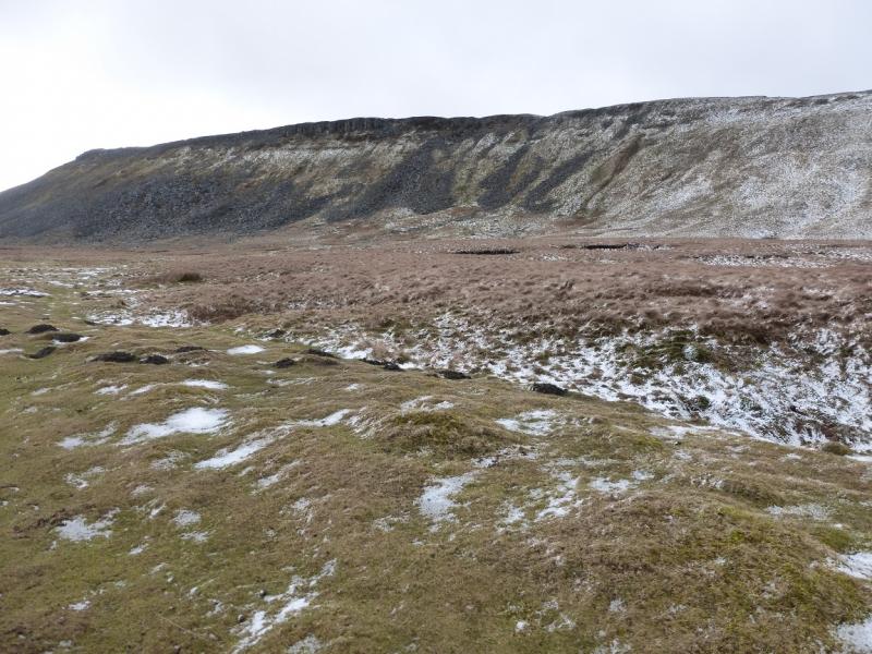
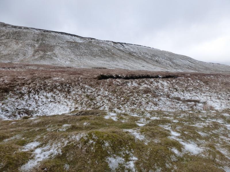
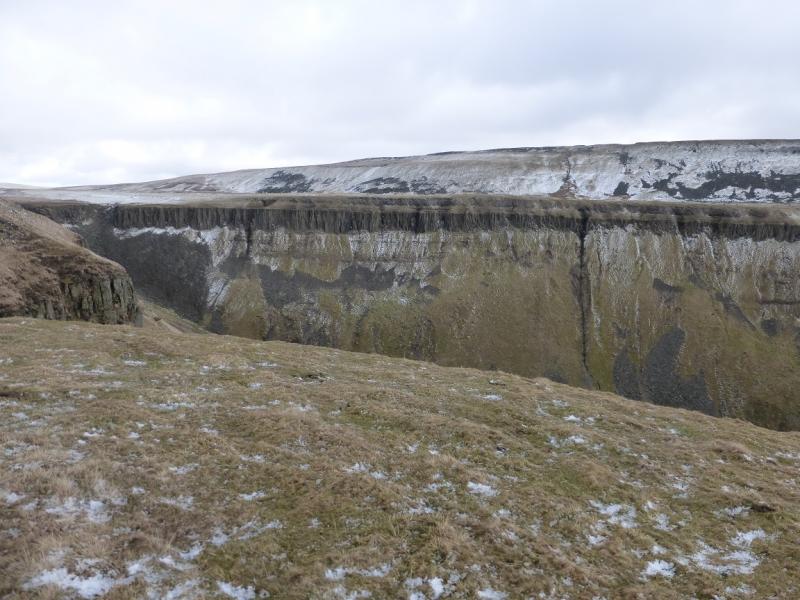
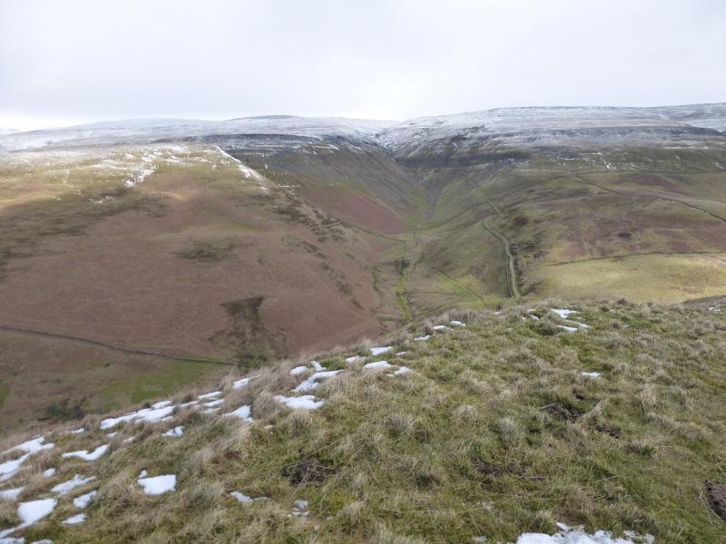
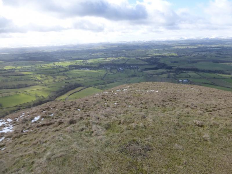
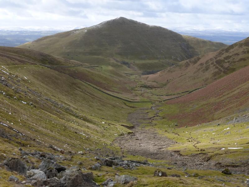
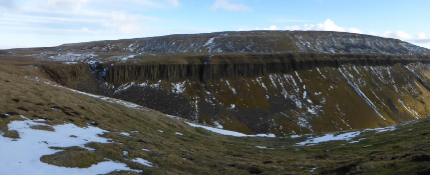
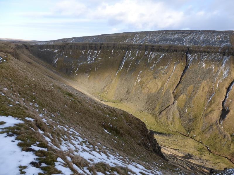
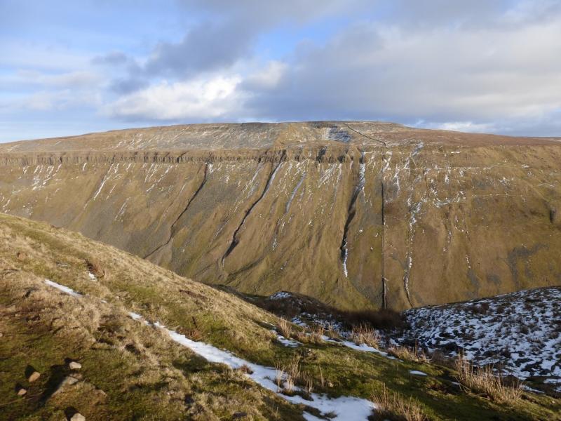
This is a mixed walk. There is a good track from Dufton to the building near Great Rundale Tarn. The diversion, en route, over Dufton Pike is steep. The section from Great Rundale Tarn to the cairn marking the highest point on Backstone Edge is mainly pathless and over tough ground of heather and tussocky grass which is often boggy but it is less than 1 km. From the cairn to High Cup Nick, there is a path. High Cup Nick is a deep river valley with cliffs either side. From High Cup Nick to Dufton, the Pennine Way is followed but this has some quite stony sections! Views are excellent especially to Cross Fell and Mickle Fell as well as the distant Lakeland Fells including Helvellyn. This walk is best saved for a clear day to enjoy the fine views of High Cup Nick which may not be seen at all in mist.
Route
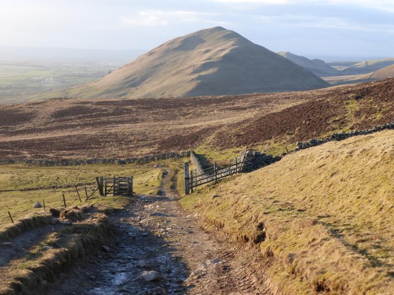
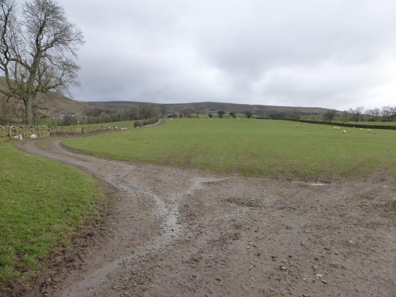
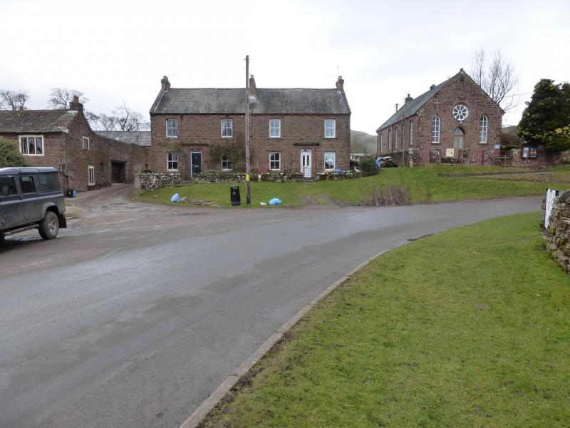
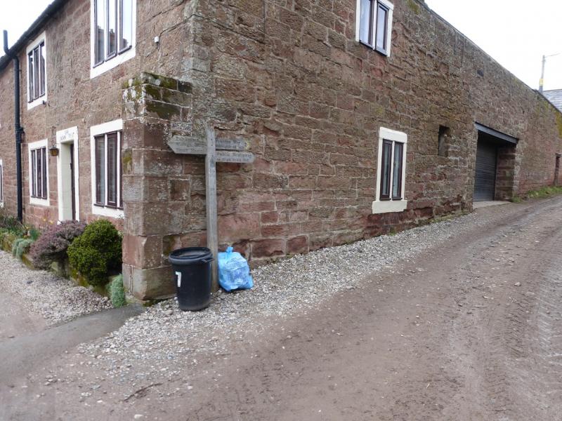
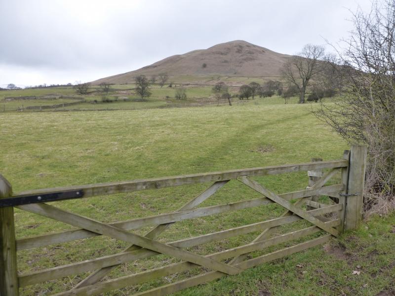
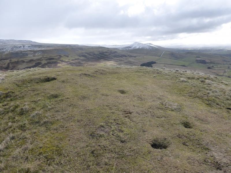
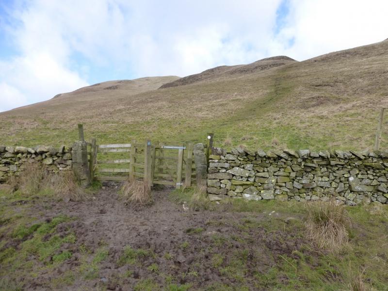
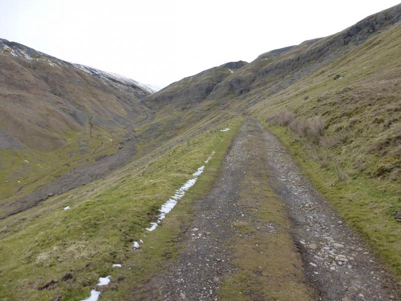
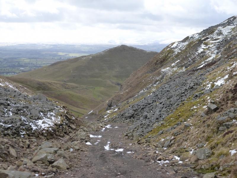
(1) From Dufton car park, turn right on to the main street and follow this around a left hand bend. On the next bend which is right hand, go ahead on a track between two houses where there is a sign for High Scald Fell. Follow this track, which is fairly straight, past where it separates from the Pennine Way. Continue to a metal gate where there is an access notice. Dufton Pike is above. Do not go through this gate but continue on the track to the next access notice by a small gate. Go through this and follow the steep grassy path up to reach a small grassy plateau where there is no cairn but this is the summit of Dufton Pike, 481 m.
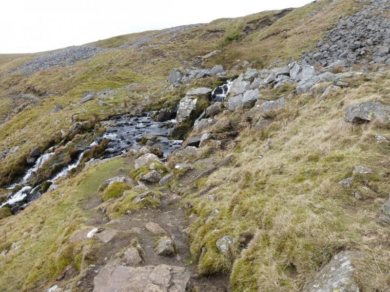
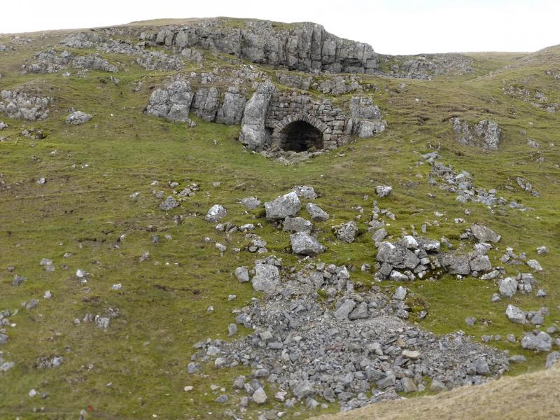
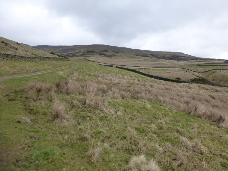
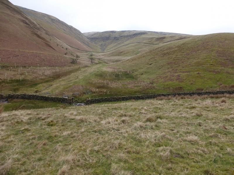
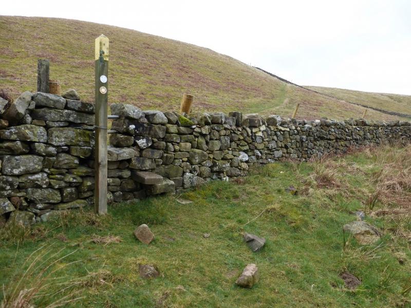
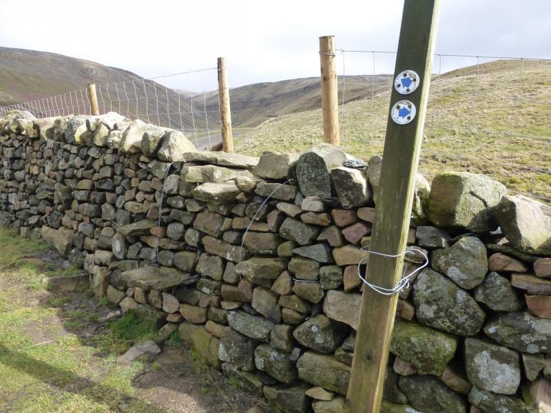
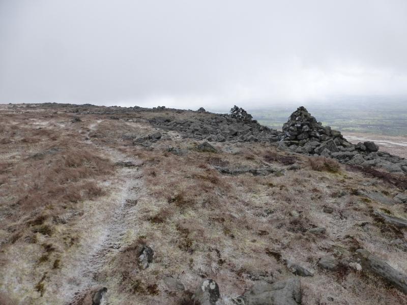
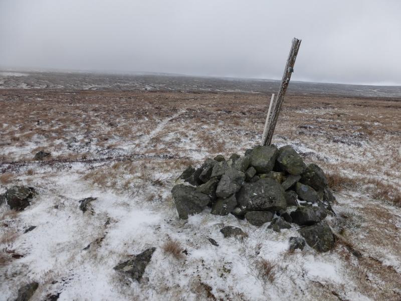
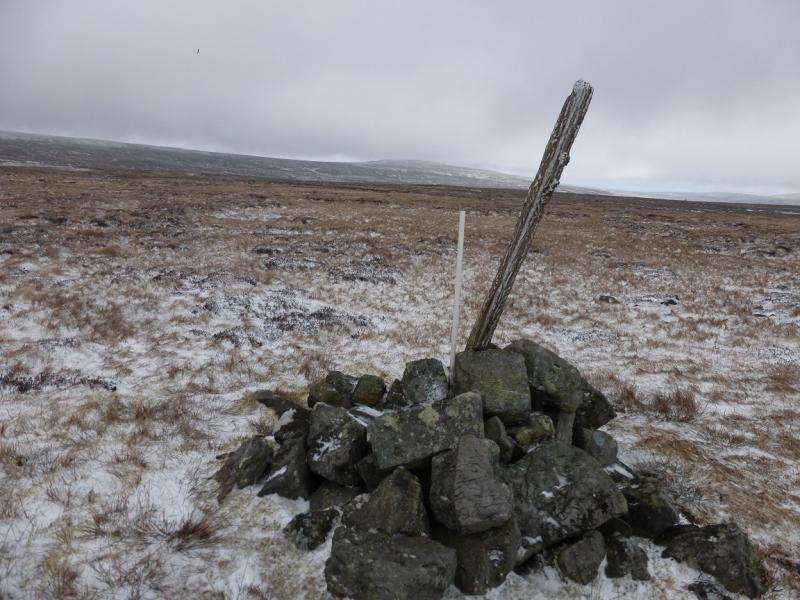
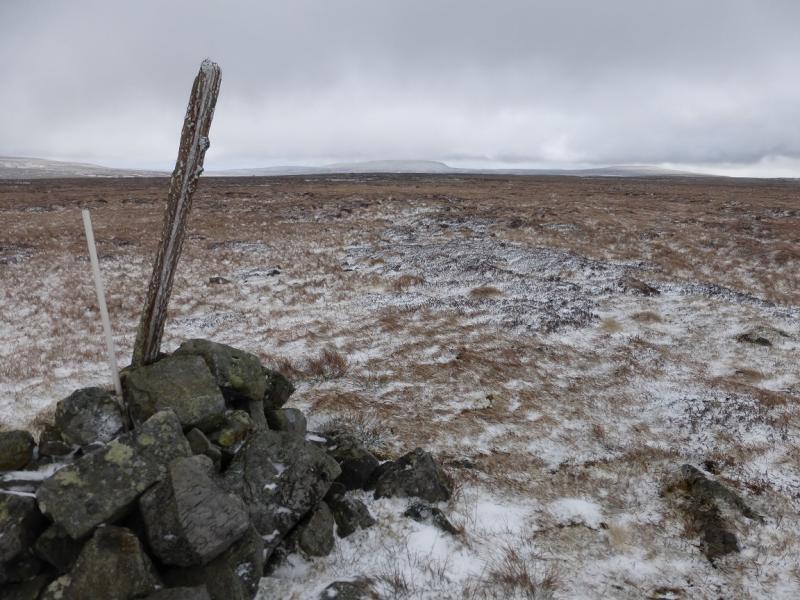
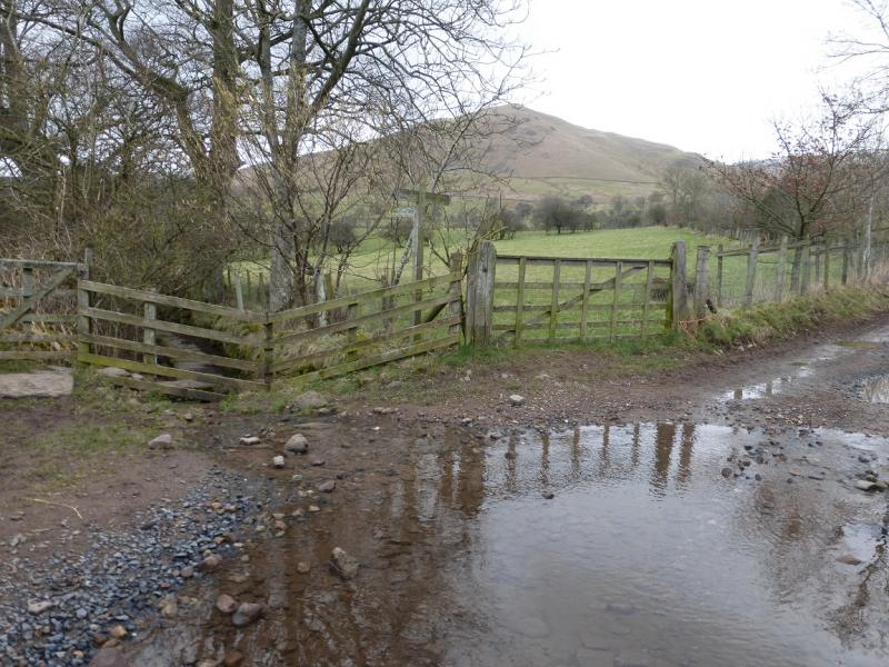
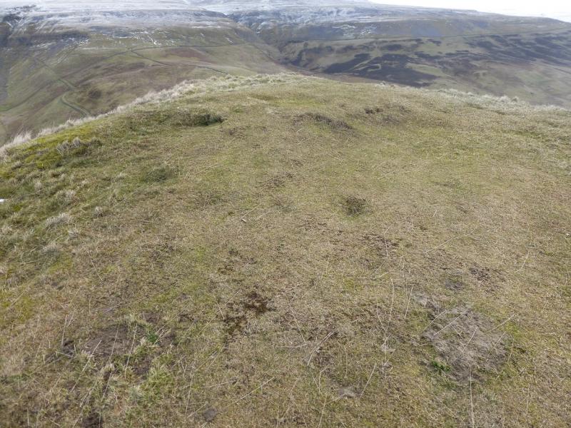
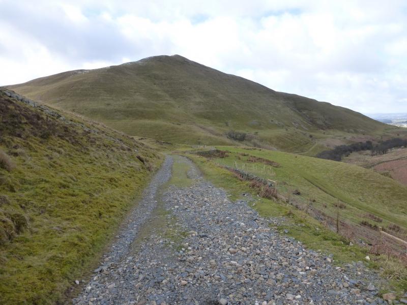
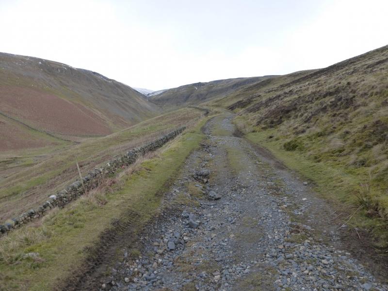
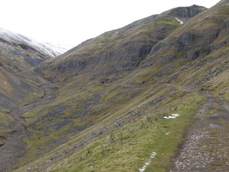
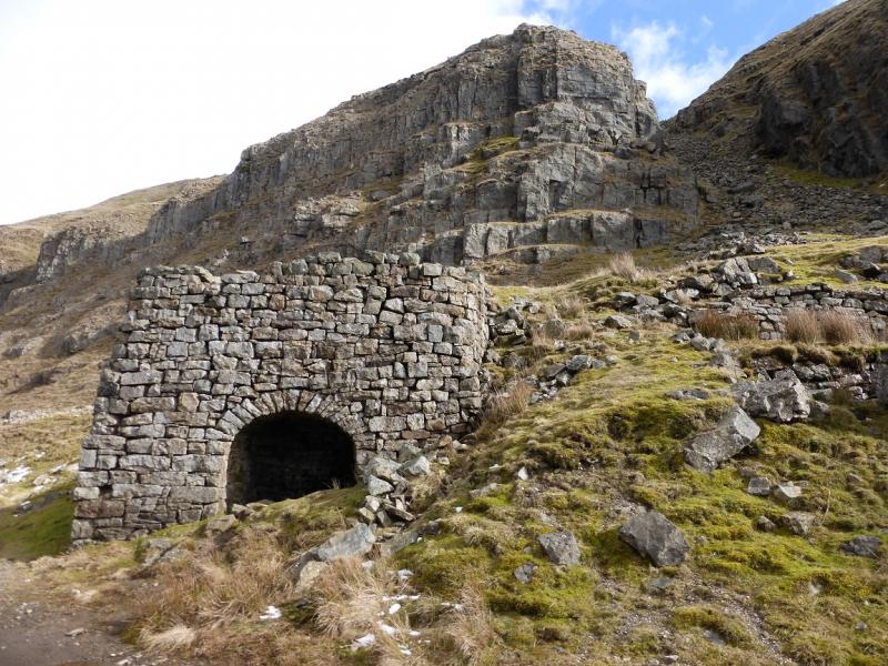
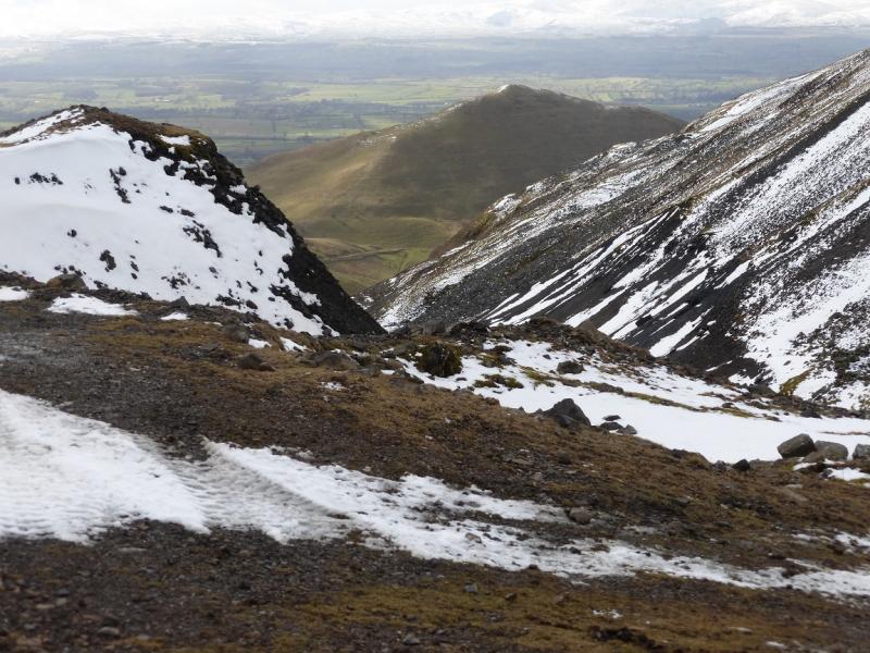
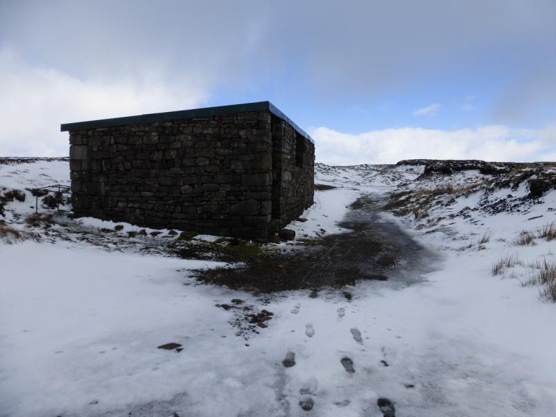
(2) Continue ahead and descend down the NW ridge on a similar path until a wall is met crossing the ridge. Turn right and follow a mainly pleasant grassy path behind Dufton Pike. Go past the post with an arrow on it as this points the way back to Dufton via the Pennine Way. Continue on the same path, heading for a wall in the distance which goes up the side of the Great Rundale Beck valley. About 100 m before this wall is reached, go over a stile on the left and continue up, moderately steeply, to another stile which gives access to the Great Rundale Beck track. Walk up the track to pass an old lime kiln after which the track deteriorates but continues to reach a building just to the NW of Great Rundale Tarn. Walk back a little way along the track to reach a rough ATV track forking off left. Follow this, not easy as it is faint, heading roughly SSW, to the highest point about 800 m from the building. Progress will be slow on the rough ground. Reach a small cairn (with a pole in it on 31/3/2015) which marks the highest point of Backstone Edge, 699 m.
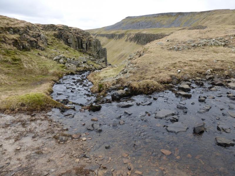
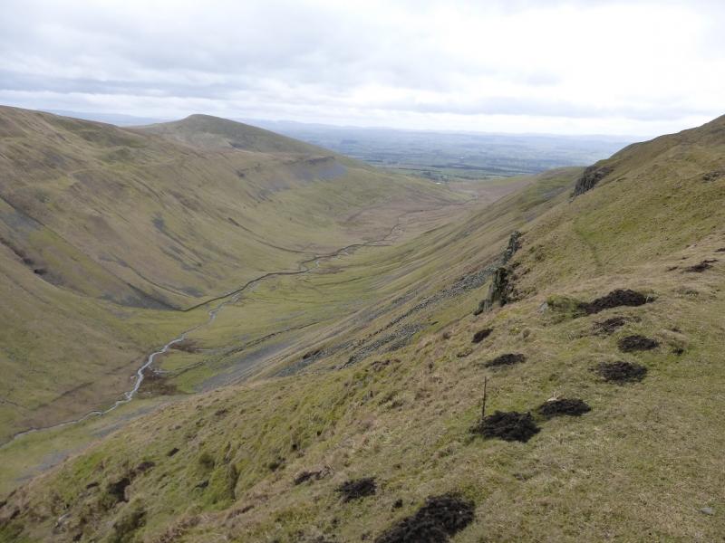
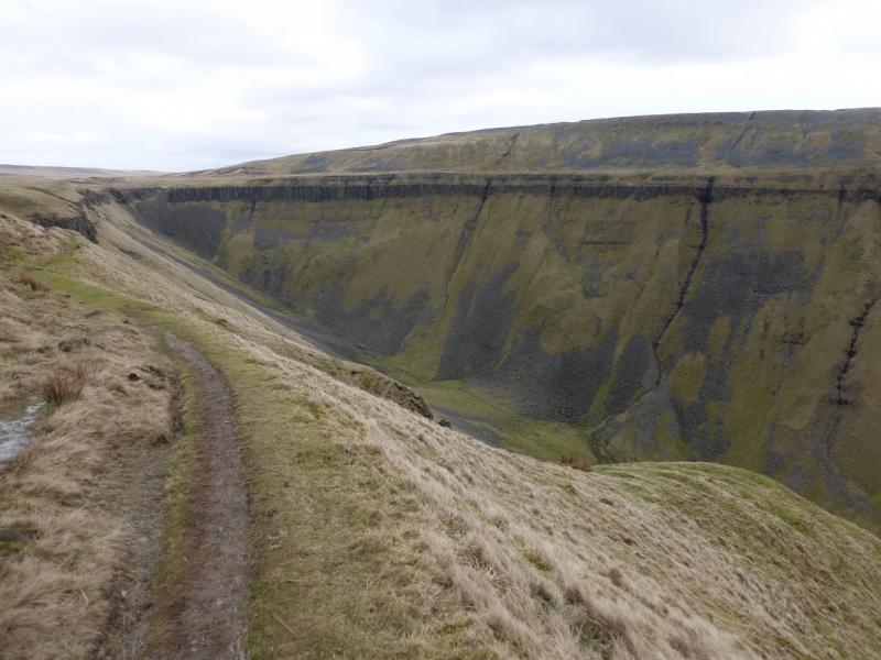
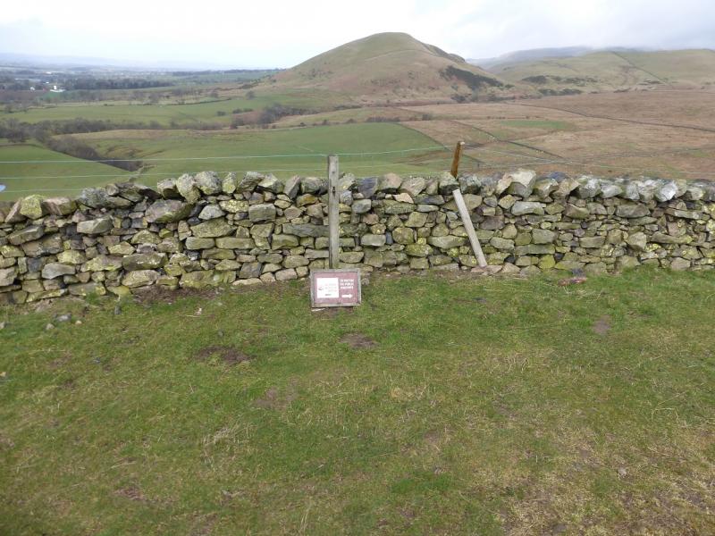
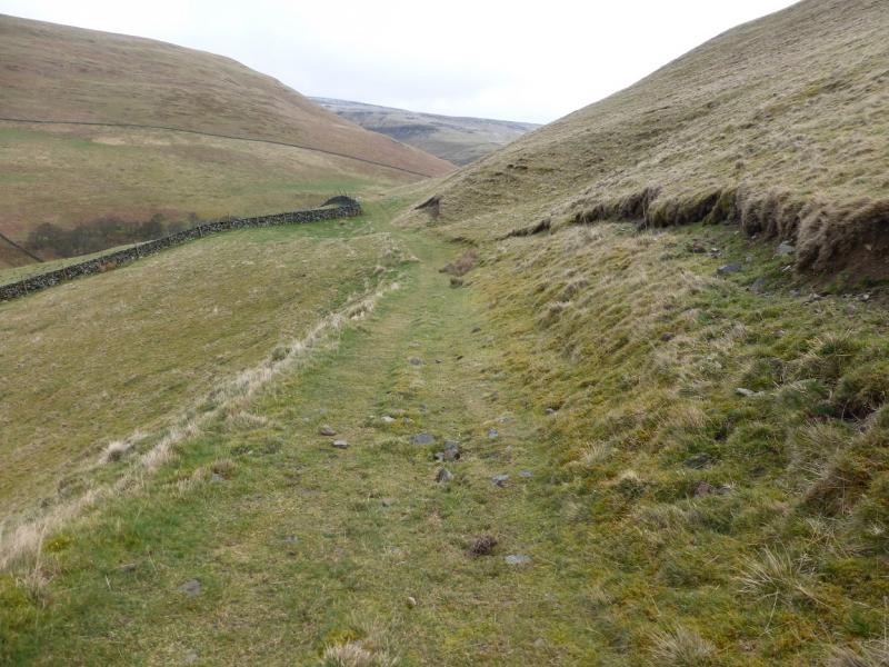
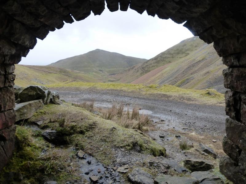
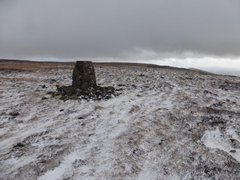
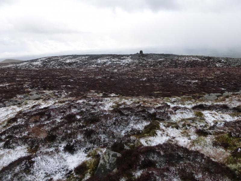
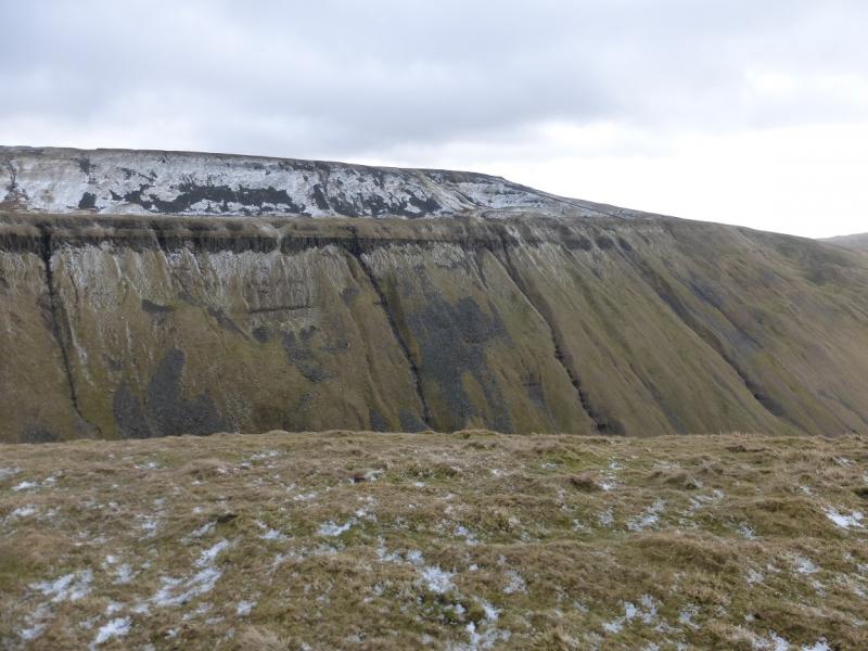
(3) Continue in the same direction for about 300 m to reach a traditional stone trig point which sits on the edge. From here a path leads along the edge towards the distinctive peak of Murton Fell. As the High Cup Nick valley is approached, the path swings around towards ENE and follows an edge above the N side of High Cup Nick. The S side should now be clearly visible. Continue on the edge until the top of High Cup Nick, where the N and S side meet, can be seen then pick a way down to this point. A stream enters High Cup Nick here. Walk along the top of the N side heading SW. There is a faint path along the top of the cliff and this joins the more prominent Pennine Way later on. Follow the stony Pennine Way down, passing several cairns until it reaches the top of a lane below Peeping Hill. The lane leads down to a road on the edge of Dufton. Turn right and walk back into Dufton.
Notes
(a) This walk took place on 31st March, 2015.
Photos - Hover over photo for caption. Click on to enlarge. Click on again to reduce.

.JPG)