Get Lost Mountaineering
You are here: England » North Pennines
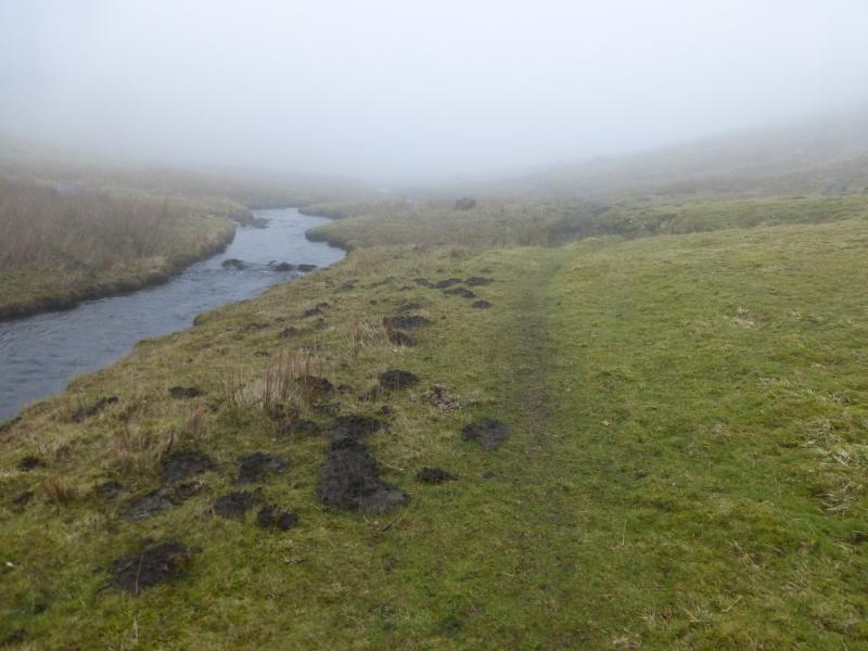
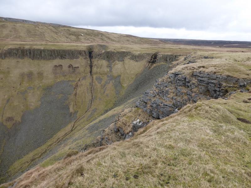
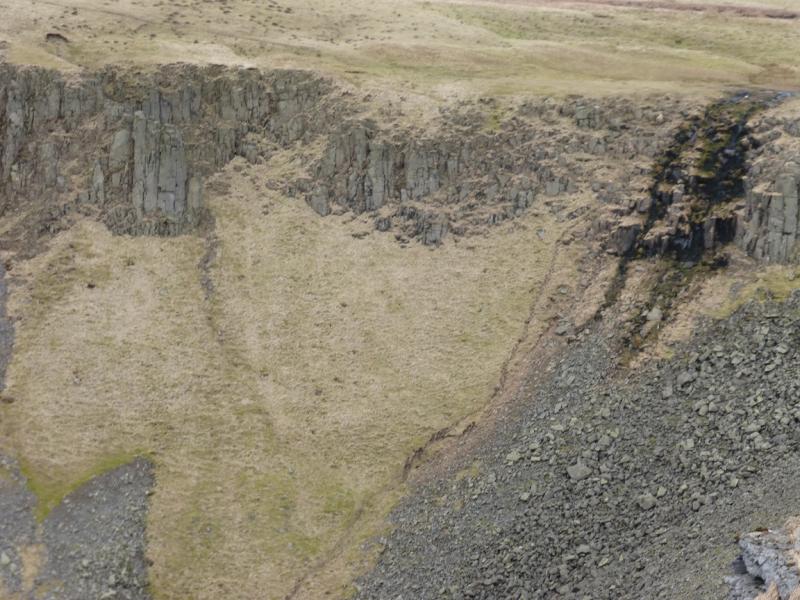
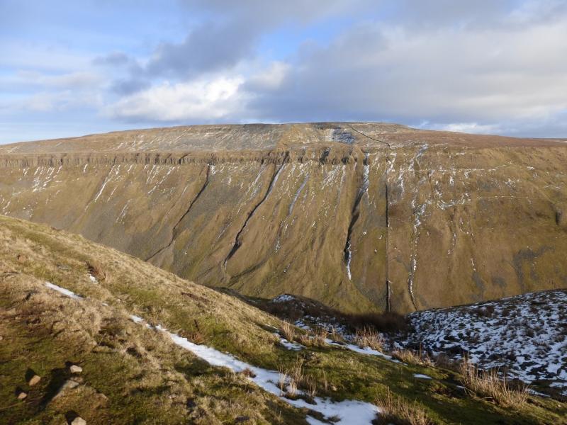
High Cup Nick on a Misty Day from Harbour Flatt near Dufton
High Cup Nick on a Misty Day from Harbour Flatt near Dufton
Start/Finish
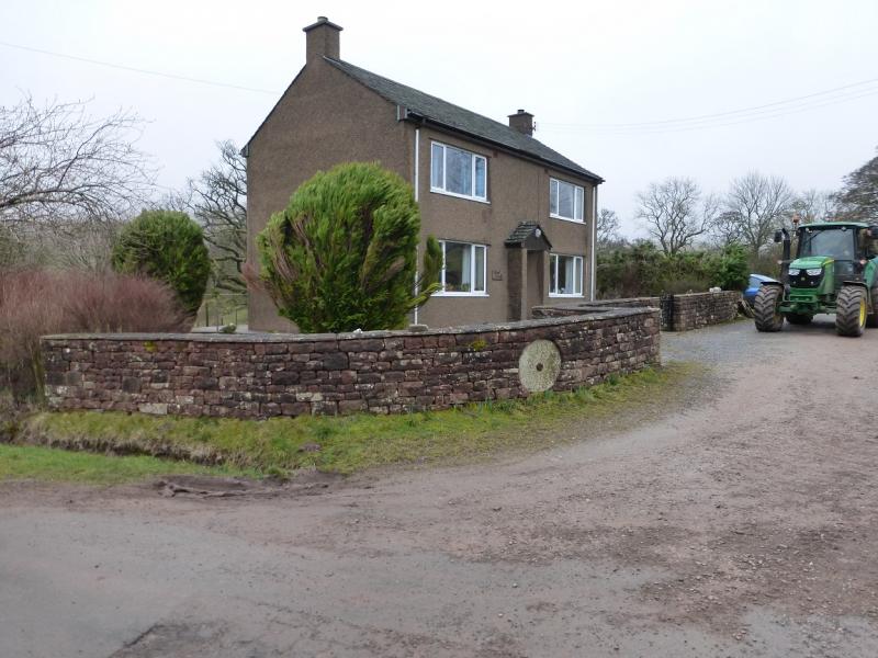
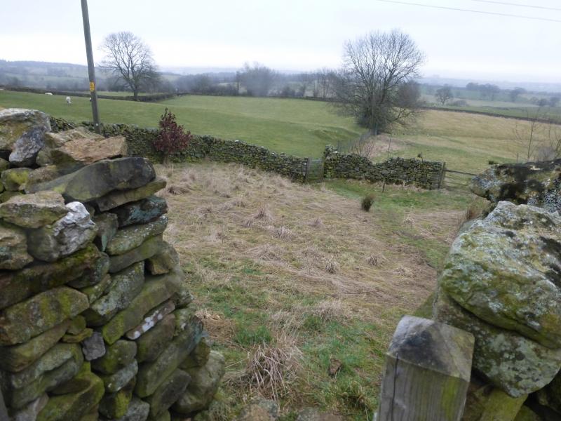
Dufton village is situated to the north of the A66 road from Scotch Corner to Penrith. It lies almost due north of Appleby and is signed off the A66. There is a small car park with toilets in Dufton. Harbour Flatt is off the road from Dufton to Murtonw which goes SE from Dufton. There is a house on the road where the track to Harbour Flatt starts. There is limited verge parking nearby. There is no parking up the track to Harbour Flatt.
Distance/Time
10 km About 4 hours
Peaks
There are no peaks but the highest point reached, on High Cup Nick, is about 580 m.
OS 1: 50 000, Sheet 91.
Introduction
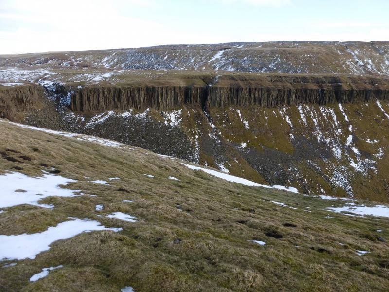
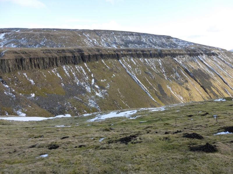
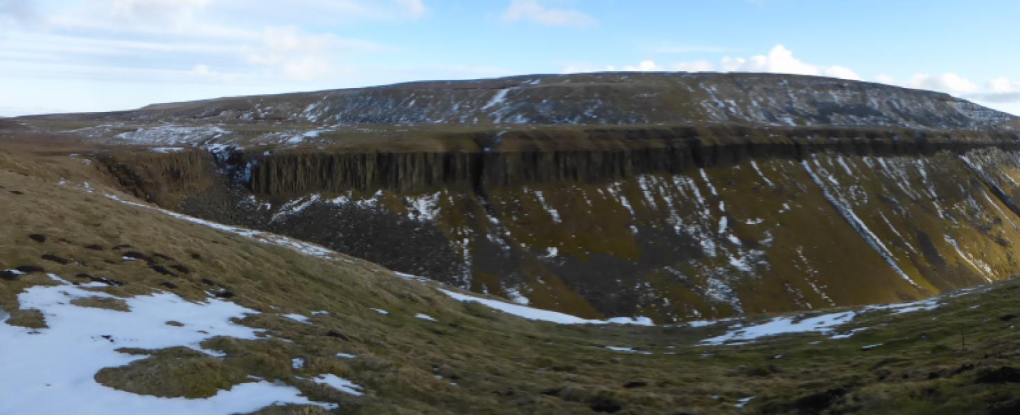
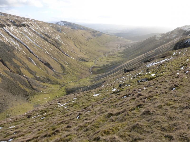
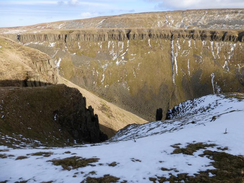
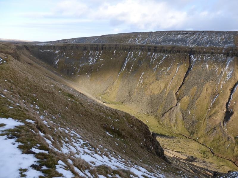
High Cup Nick is a unique, deep river valley with cliffs either side. It is well worth a visit on a clear day. Little of the dramatic features will be seen on a misty day! From High Cup Nick towards Dufton, the Pennine Way is followed but this has some quite stony sections! Views can be excellent especially to Cross Fell and Mickle Fell as well as the distant Lakeland Fells including Helvellyn.
Route
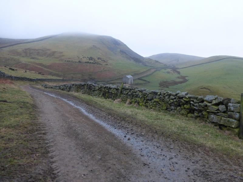
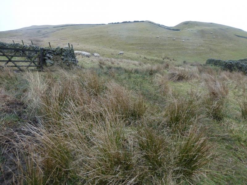
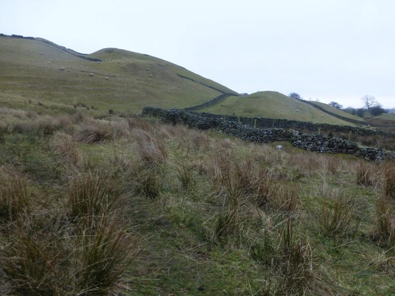
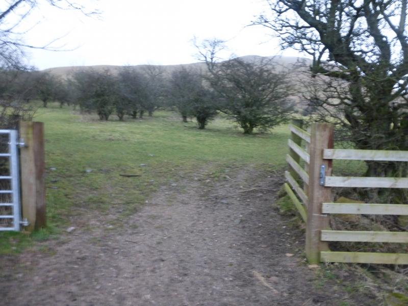
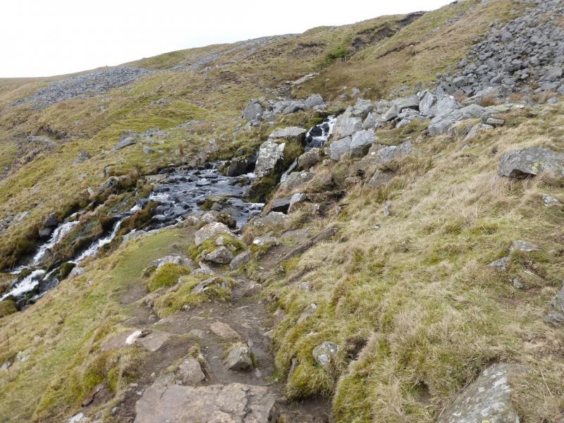
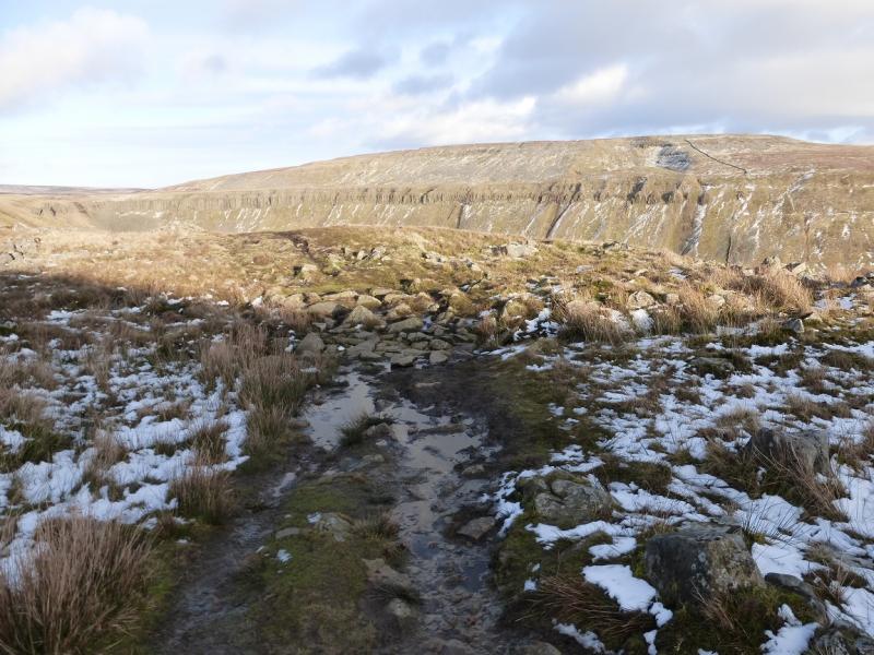
(1) Walk up the track to Harbour Flatt which goes left between the first two buildings (barns) then continues fairly obviously. Soon there are several tracks so head NE and pick up a path which contours around to the lower part of High Cup Gill which is beyond a wall crossed by a stile. A path then heads NE. The wall soon goes off right, steeply uphill. The path is, generally, easy to follow but does pass through a few boulder fileds so be careful not to lose where it emerges. Eventually, the gradient steepens considerably and the path climbs out on to the edge of High Cup Nick
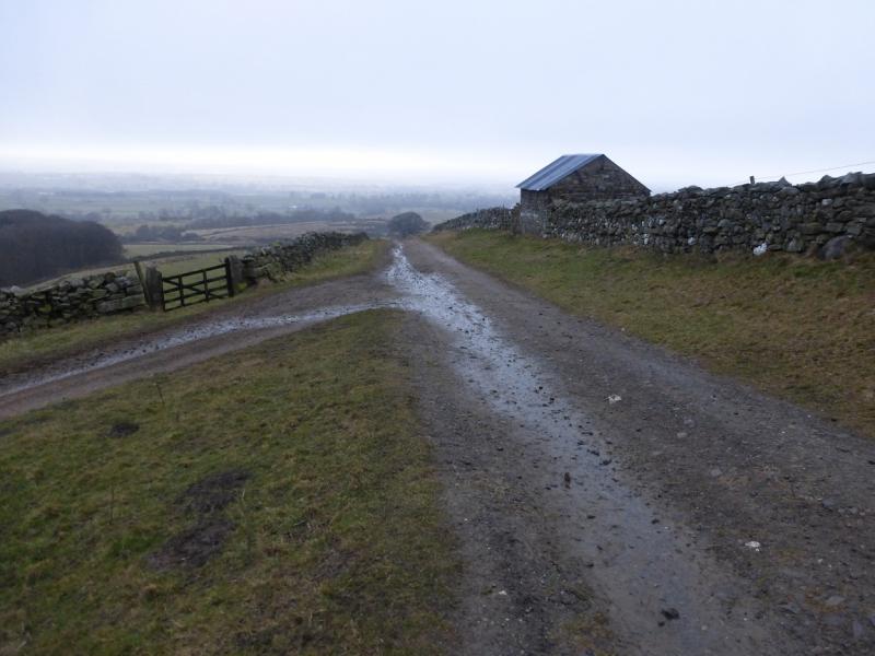
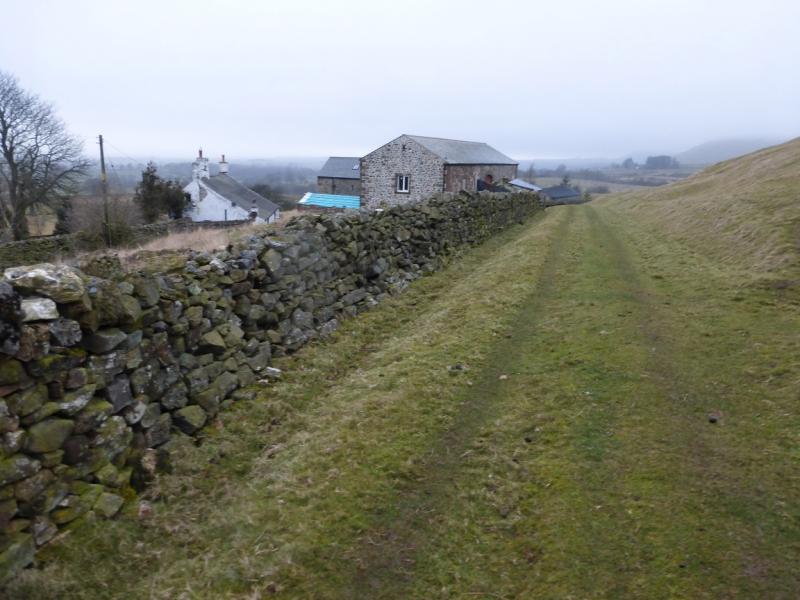
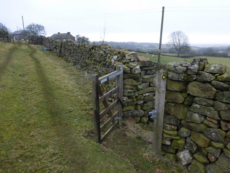
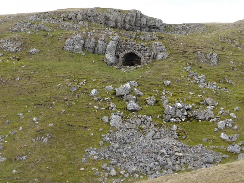
(2) Turn left and follow a path along the edge which, later, merges with the Pennine Way and heads roughly SW. A stile is met lower down by a gate and a track starts here which continues down towards Dufton. About 800 m after a corner, another track goes left opposite a stone building. Take this track and follow it past a stone barn. The track is boggy in places but becomes grassy before ending at a gate. Go through the gate and follow the path left towards some houses. The path has a diversion just past the houses which crosses a wall and field before joining a short track to the road where a left turn, E, soon leads back past Keisley to the start.
Notes
(a) This walk took place on 7th March, 2015.
Photos - Hover over photo for caption. Click on to enlarge. Click on again to reduce.
.JPG)