Get Lost Mountaineering
You are here: England » Peak District » Kinder, Harry Hut, Burnt Hill, Mill Hill & Wormstones from Glossop to Hayfield Road
Wormstones, Harry Hut, Mill Hill & Black Moor
Wormstones, Harry Hut, Mill Hill & Black Moor
from Moorfield Road near Chunal
Start/Finish
Rough parking on a corner of the Moorfield Road about 200 m from the main Glossop to Hayfield road just below Chunal. The turning is sign posted. If there is no space there or nearby then there is a rough lay by slightly further uphill on the main road. The turning is just over a mile from the Glossop crossroads and just under 4 miles from Hayfield. Coming from Buxton, take the A6 to Chapel-en-le-Frith then follow signs to Glossop. Coming from Chesterfield, take A619 to Baslow then A623 through Calver to Chapel-en-le-Frith then follow signs for Glossop. From Sheffield, take A57, Snake Pass, to Glossop then take A624 towards Hayfield.
Distance/Time
8 km About 3 - 4 hours
Peaks
Harry Hut, 440 m, SK 044 907.
Mill Hill, 544 m, SK 061 504.
The rest of the walk is on edges, ridges and open moorland.
OS Outdoor Leisure 1: Dark Peak. OS 110 (1:50 000).
Introduction
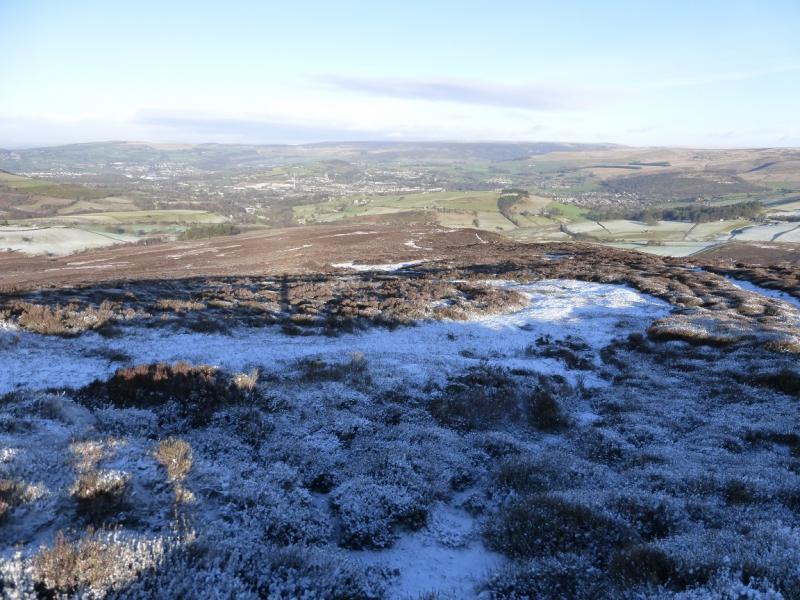
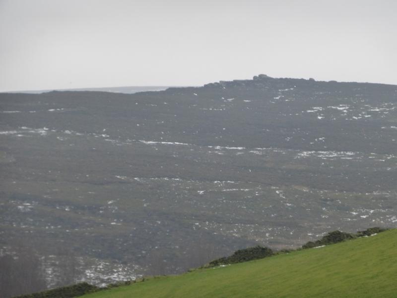
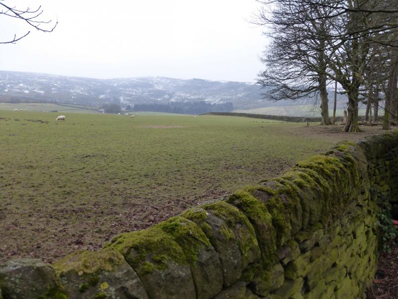
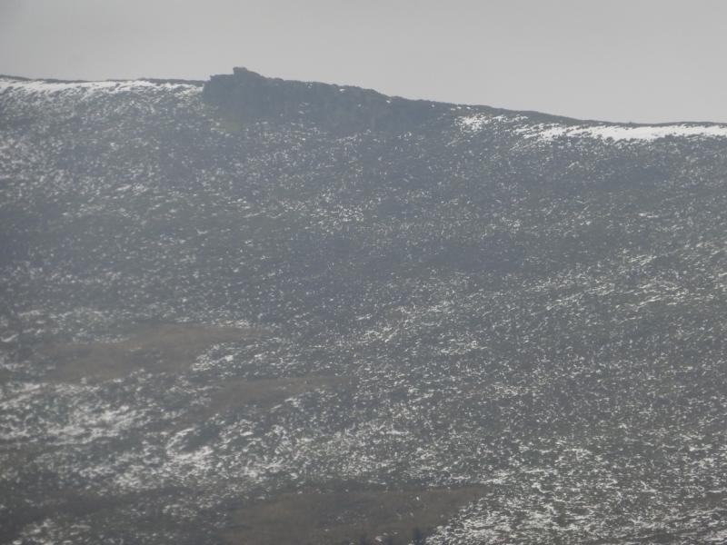
This is a short but pleasant walk which takes in two tops and the interesting Wormstones ridge. Paths are generally good but can be boggy and it does not take much snow to hide them. There are good views to Kinder and Higher Shelf Stones.
Route
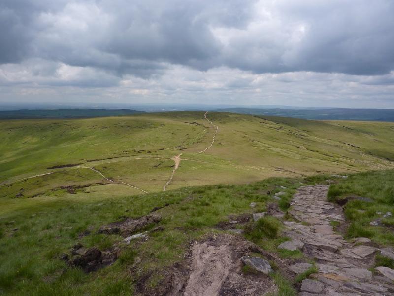
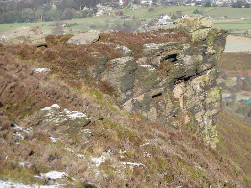
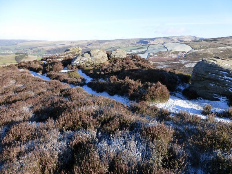
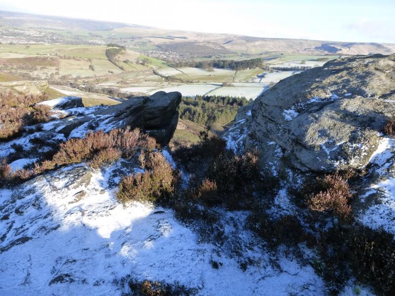
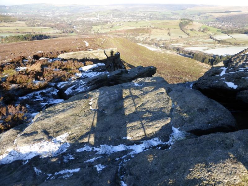
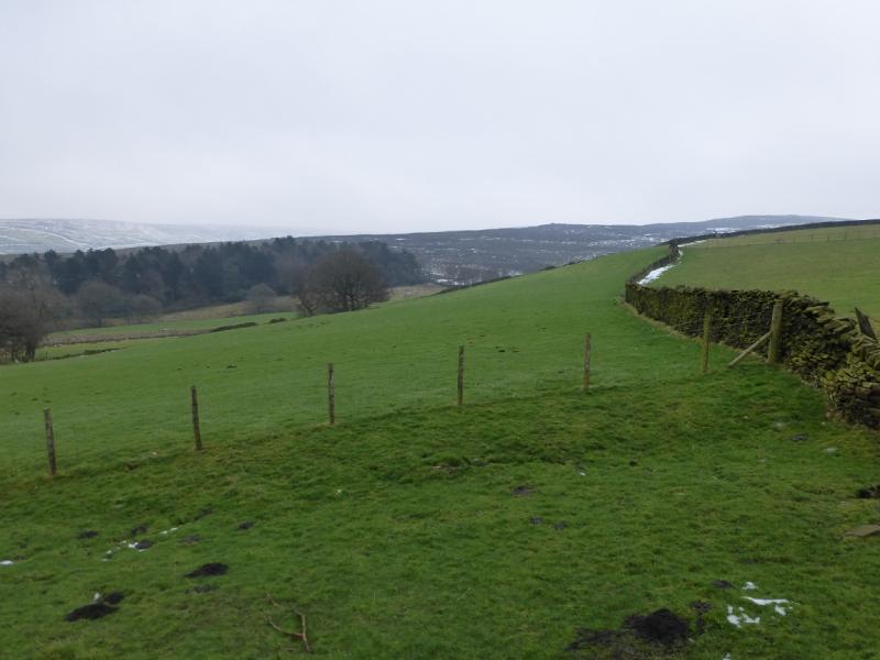
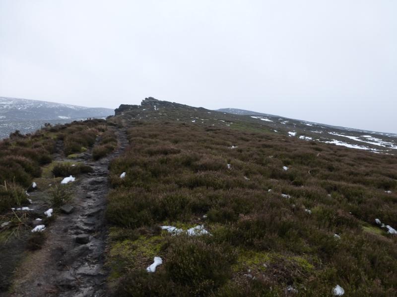
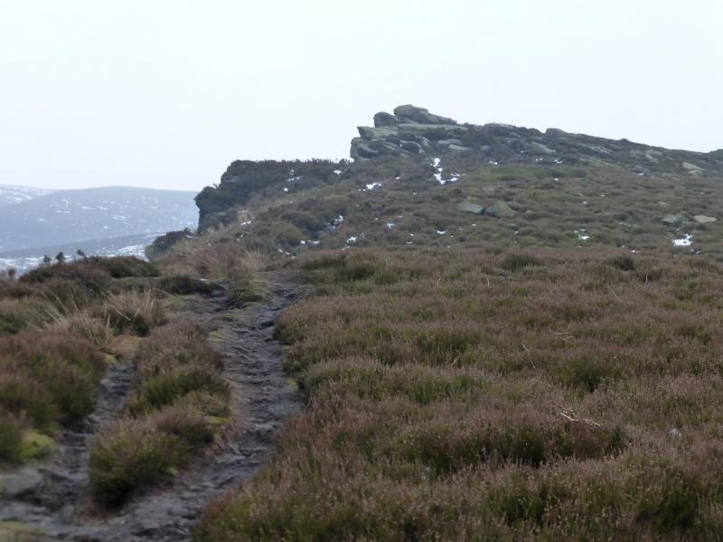
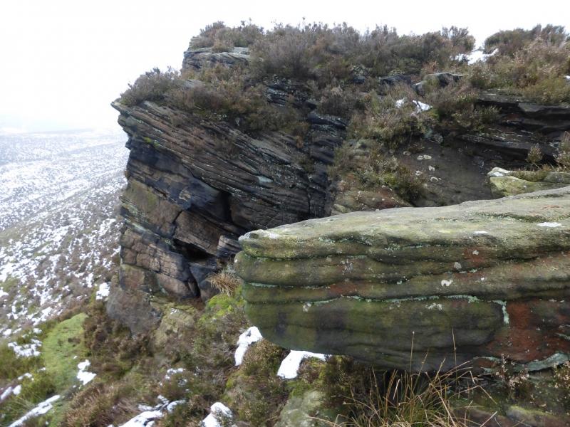
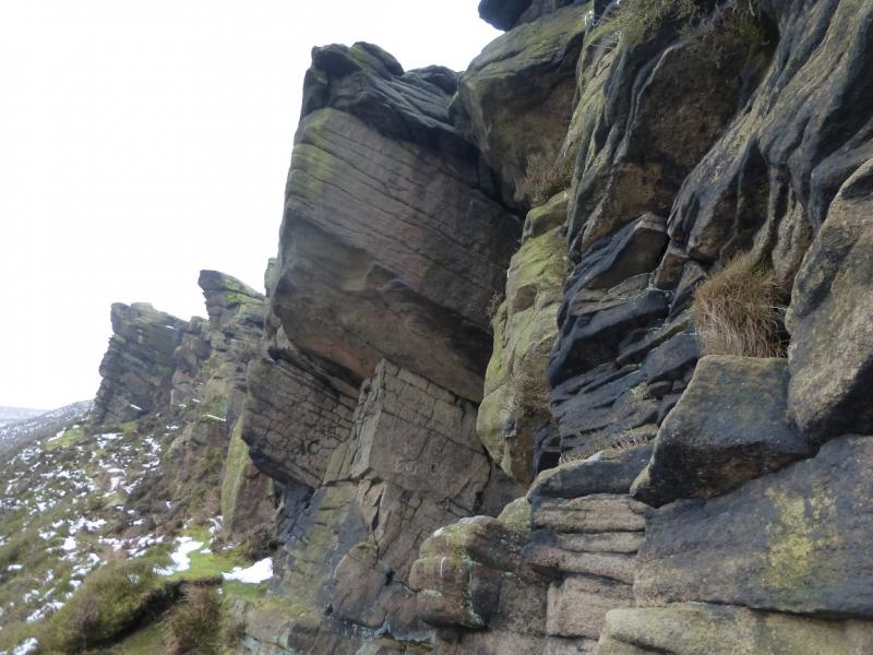
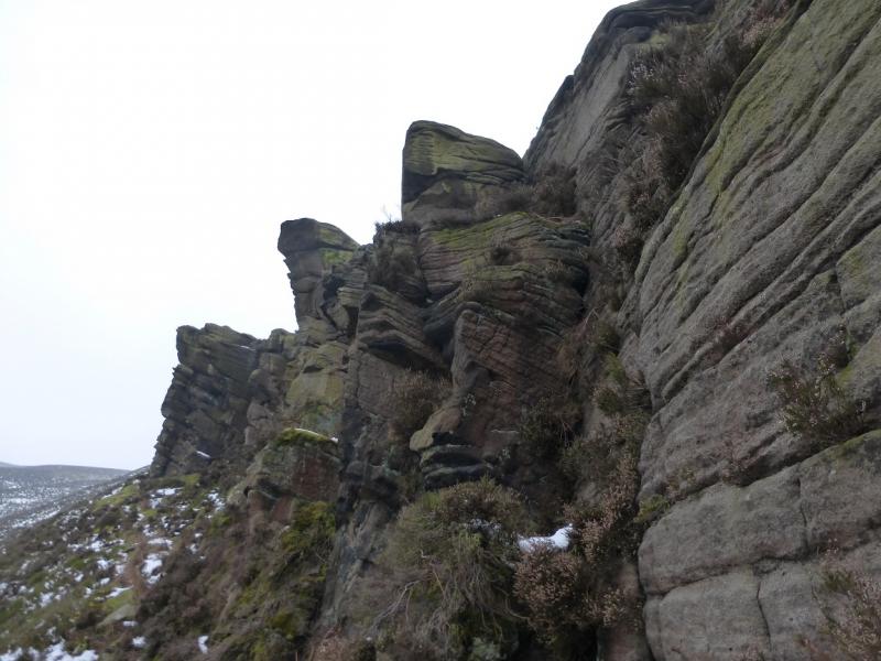
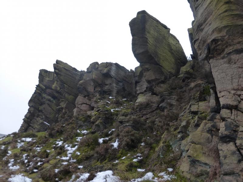
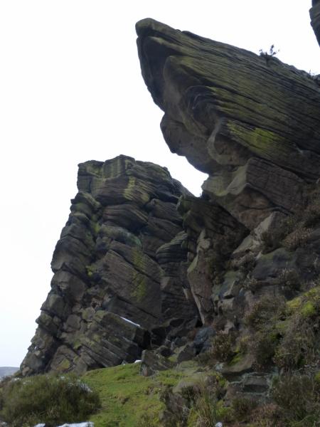
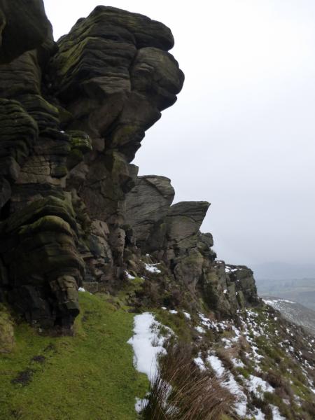
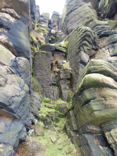
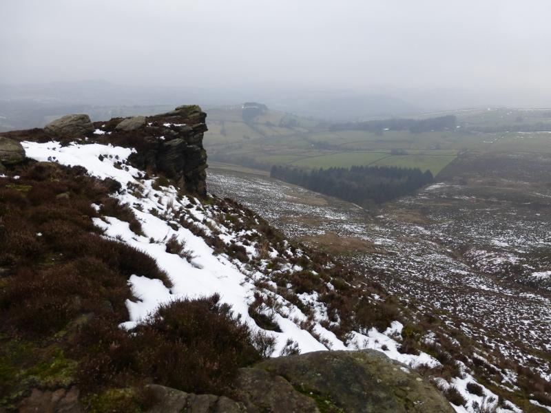
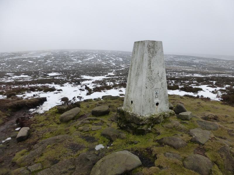
(1) From the access point on the corner, cross the stile then take the path/track going directly up the ridge. The gradient quickly eases giving a gentle, pleasant ascent which leads to the obvious Wormstones which is about 100 m of Millstone Grit crags. These are best seen from below on the gully side so drop down easily on to a faint path and walk underneath them before regaining the crest. There is then an easy ascent which soon leads to the trig point on Harry Hut, 440 m.
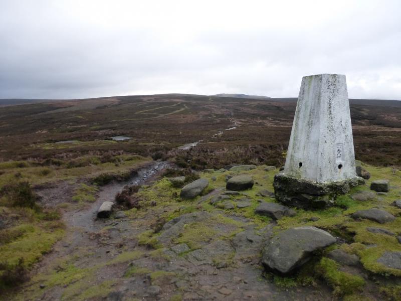
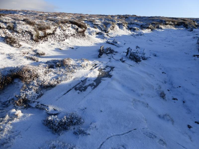
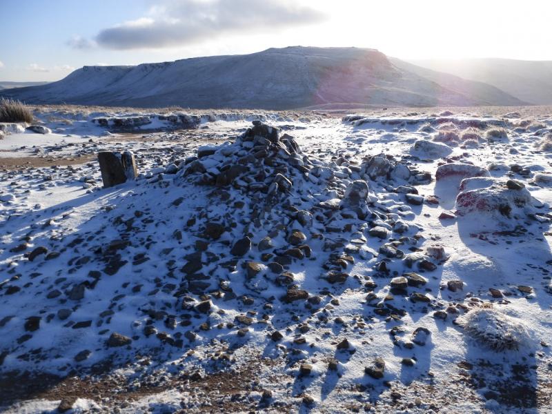
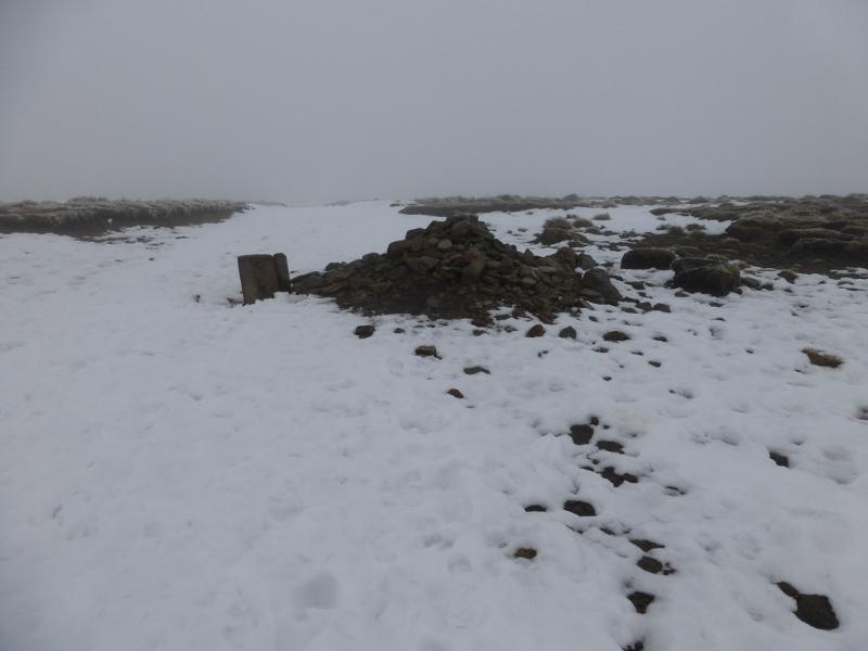
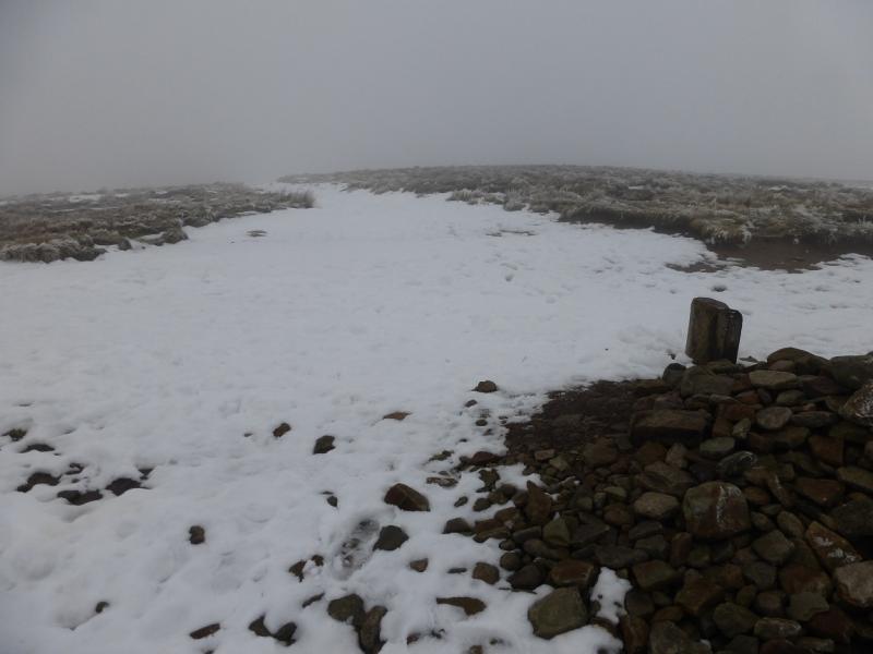
(2) Continue roughly right, descending slightly, still on the path which soon converges with a slabbed path coming from Burnt Hill to the south. Higher up, a clean grassy gully appears on the left in which there is some old aircraft wreckage. It is worth walking up this shallow gully as there is some more wreckage slightly higher up. The gully soon peters out and the slabbed path can be rejoined. Continue up, reaching a large but low cairn which is the summit of Mill Hill, 544 m. There is a crossroads of paths here. Ahead and left is the Pennine Way, to the right is a faint path heading towards Leygatehead Moor.
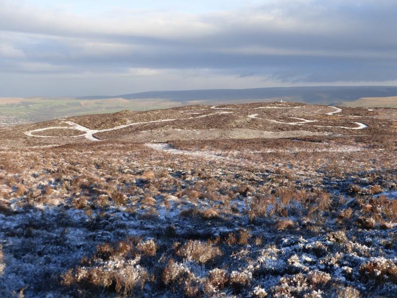
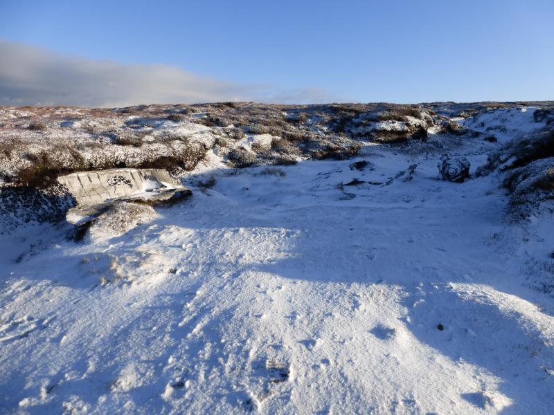
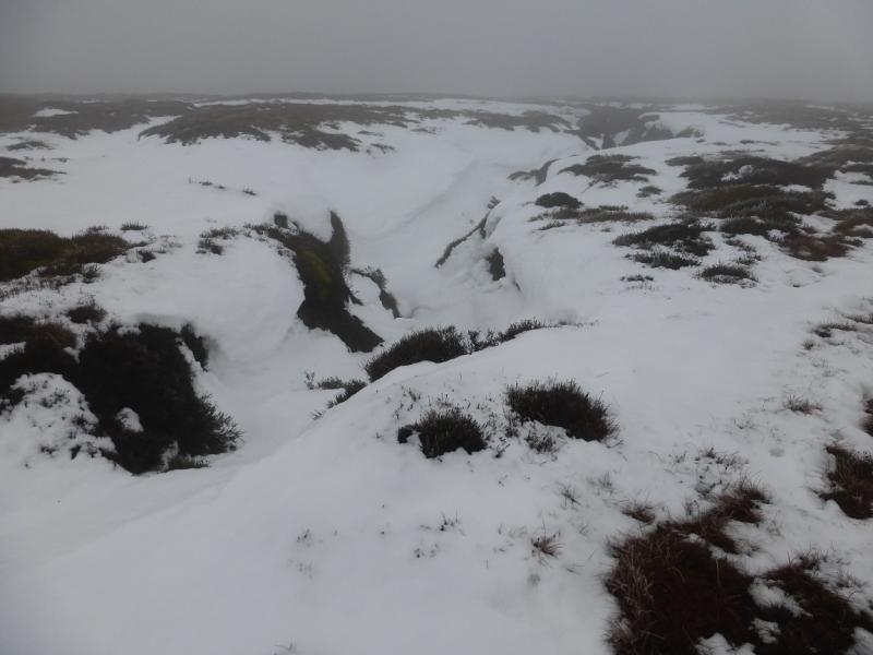
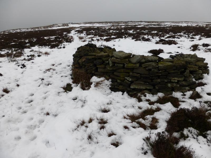
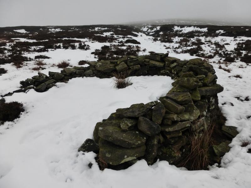
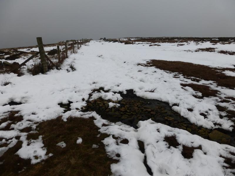
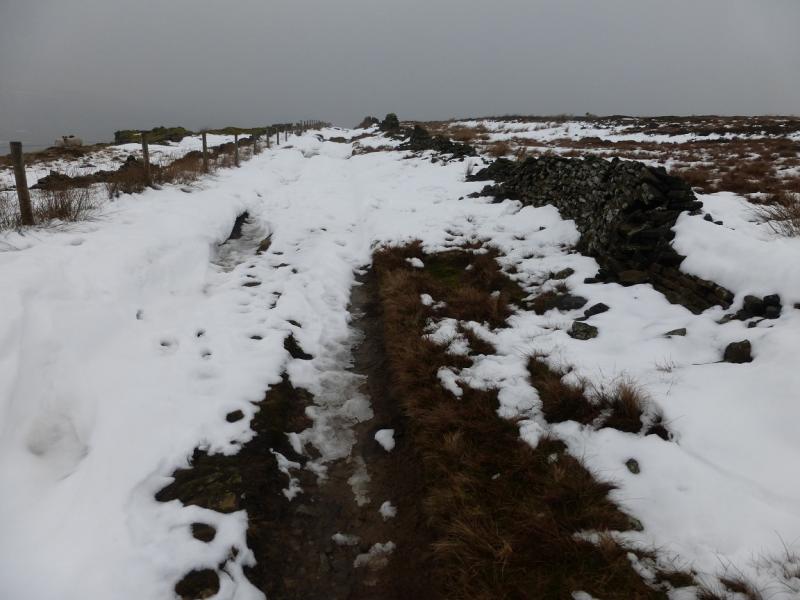
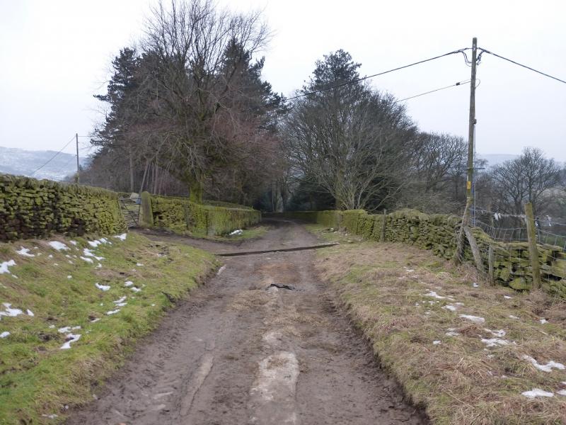
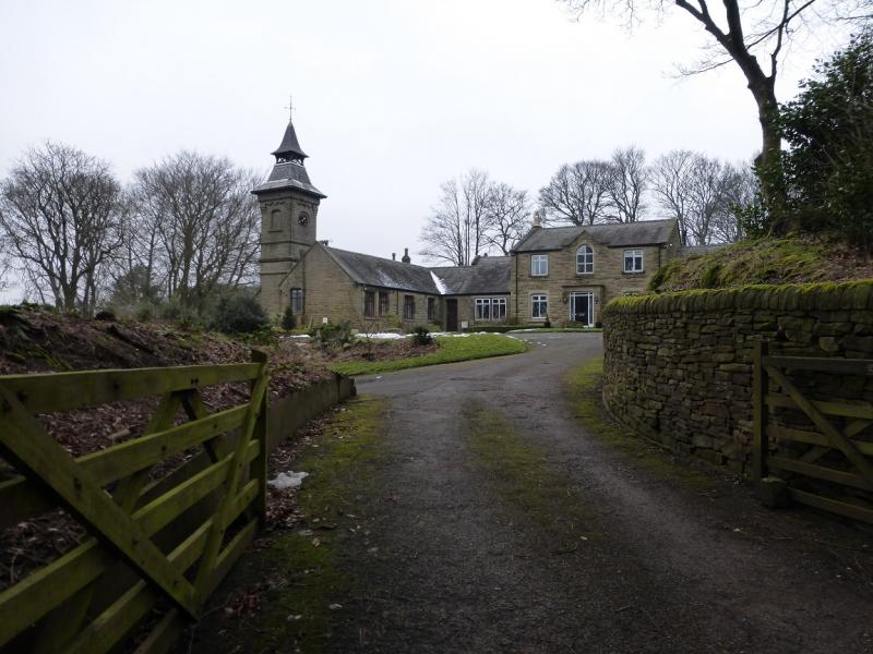
(3) With the path to Kinder straight ahead and the path from Harry Hut behind, take the path going left which is the slabbed Pennine Way leading to the top of the Snake Pass. Follow this for about 1 km, crossing a shallow dip, until on the top Pt 535 which is not very obvious especially in mist and under snow! Leave the Pennine Way and descend roughly NW down the broad ridge of Black Moor. There are hints of paths which need little snow to hide them. Lower down, a path becomes more obvious and, in clear weather, the top of the track may be seen and a gully starts to form on the left which soon drifts left off the line of the ridge. Continue down and reach some peat hags after which there is a stone shelter cairn with the start of the track a little further. Walk down the pleasant walled track for about 2 km to reach some fine old buildings at the bottom. Reach the road and follow it WSW back to the start.
Notes
(a) This walk took place on 11th February, 2015.
Photos - Hover over photo for caption. Click on to enlarge. Click on again to reduce.