Get Lost Mountaineering
You are here: Scotland » 01 South of Oban to Stirling and Fife » Luss Hills
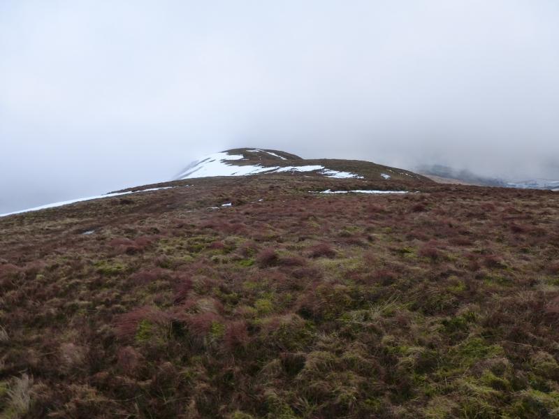
Beinn Chaorach & Beinn a' Mhanaich
Beinn Chaorach & Beinn a' Mhanaich from Auchengaich in Glen Fruin
Start/Finish
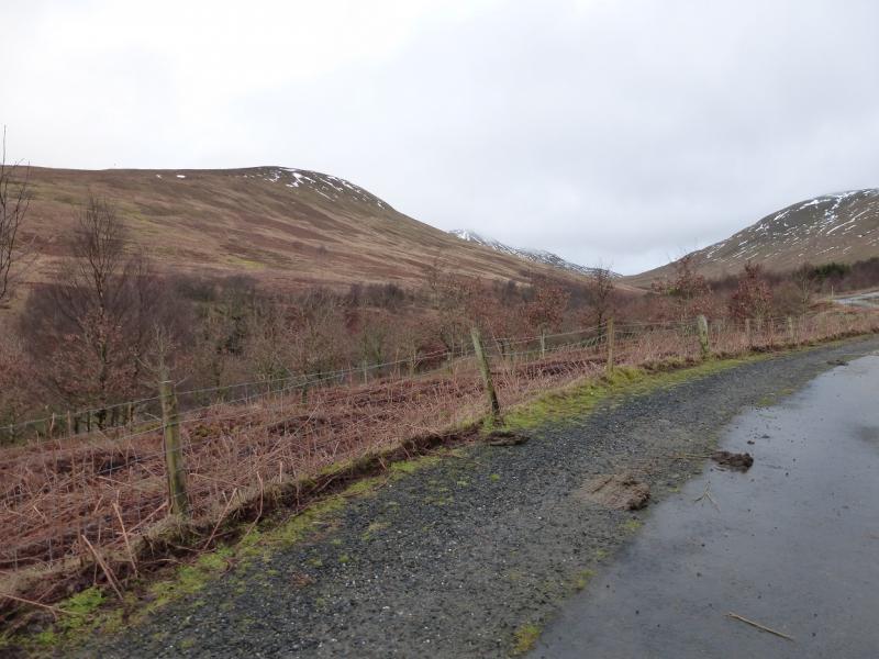
A deep lay by on the old Glen Fruin road to the north west of Auchengaich where a track goes north to the new road and then on to the reservoir. The lay by is at NS 274 900. The Glen Fruin road can be reached by taking the B831 (for Helensburgh) from the Arden roundabout by Loch Lomond, A82. Follow this to a roundabout then go straight across to reach Glen Fruin. From Helensburgh take the B832 and look for the signed Gen Fruin turning about 1.5 miles from the town. It is also possible to use the new road from Ross Park on Loch Lomond which joins the A814 at the side of Gare Loch. In this case, park near the start of the track to the reservoir.
Distance/Time
13 km About 5 – 6 hours
Peaks
Beinn Chaorach, 713 m, NS 287 923.
Beinn a' Mhanaich, 709 m, NS 269 946. OS Sheet 56.
Introduction
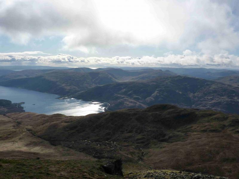
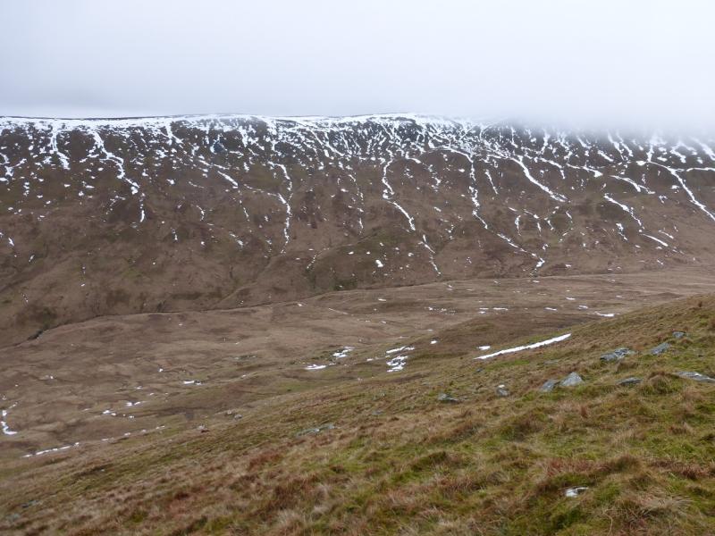
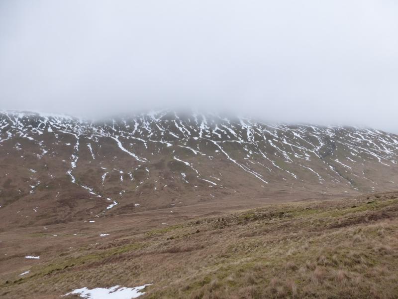
On a clear day, this is a lovely walk with magnificent views in all directions which include Ben Lomond, Loch Long, Loch Lomond and beyond. On a misty day, navigation is not too difficult as a fence guides one from Beinn Chaorach to Beinn a' Mhanaich. There is a path for much of the way down the south ridge of Beinn a' Mhanaich but it is faint in places and needs little in the way of snow to hide it although a line of military warning notices help lower down. This is a tough walk as there is about 550 m of ascent to Beinn Chaorach with 350 m of descent to the col before about another 350 m of ascent to Beinn a' Mhanaich. On 27/1/15, a descending NW traverse was made from the summit of Beinn Chaorach to the col. However, there is a fence running NW along the crest from Beinn Chaorach summit and the descending traverse meets a fence just above the col. This has to be the same fence or a branch of it so the directions take account of this even though the fence was not actually followed into the col.
Route
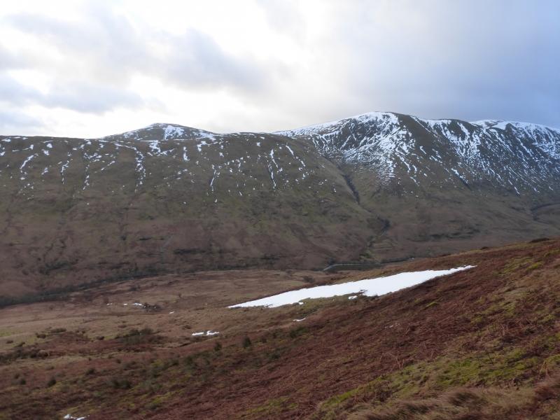
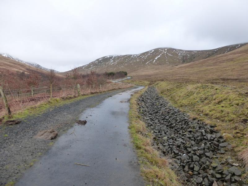
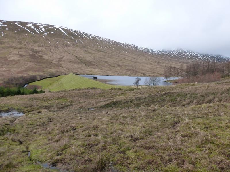
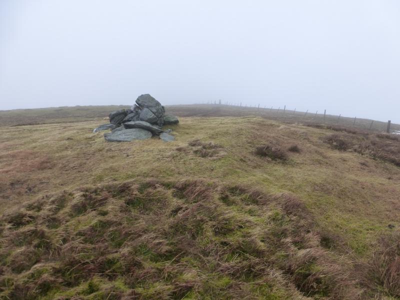
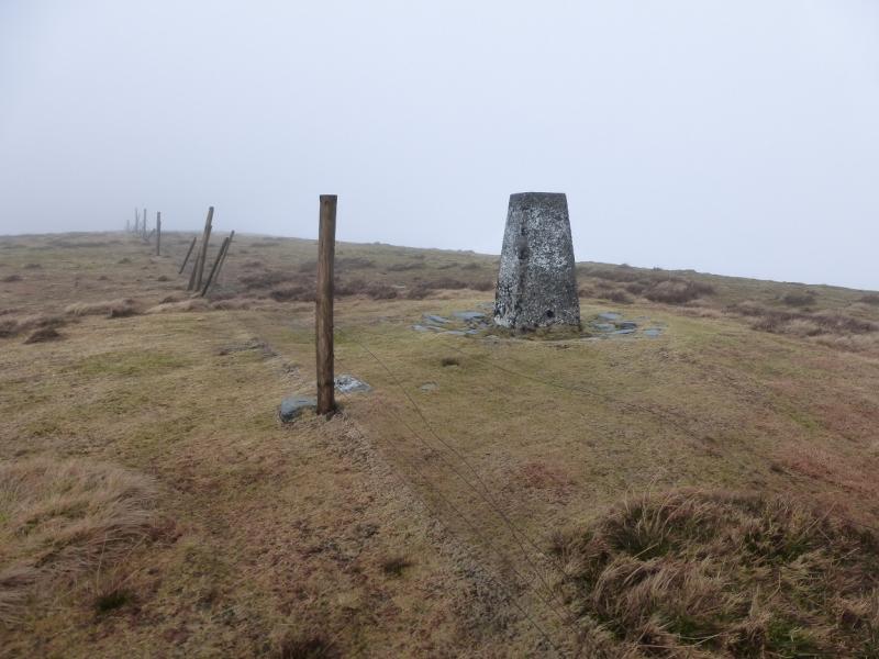
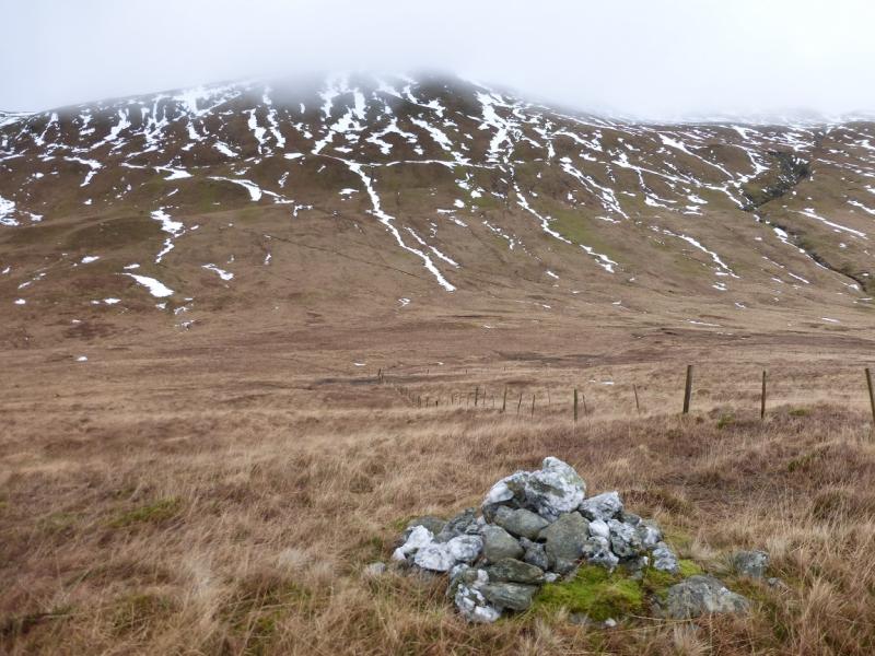
(1) From the lay by, walk up the track to the new road. Cross over and continue up the track, muddy in places, towards the reservoir which has a small wood on its E side. At a suitable point before the wood, leave the track and ascend, roughly NE, up steep grassy slopes until the gradient eases and a fence is met coming from Beinn Tharsuinn. This fence passes a cairn made of a few large rocks just before it reaches the trig point which marks the summit of Beinn Chaorach, 713 m.
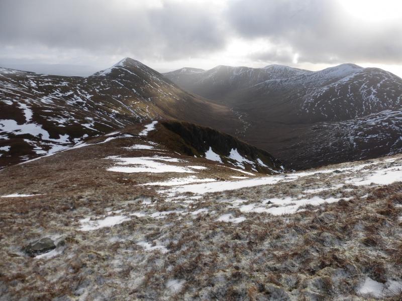
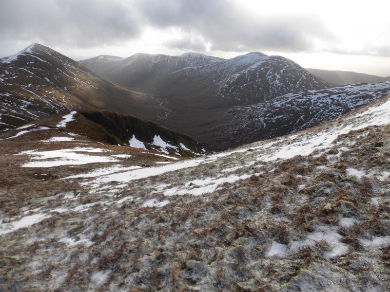
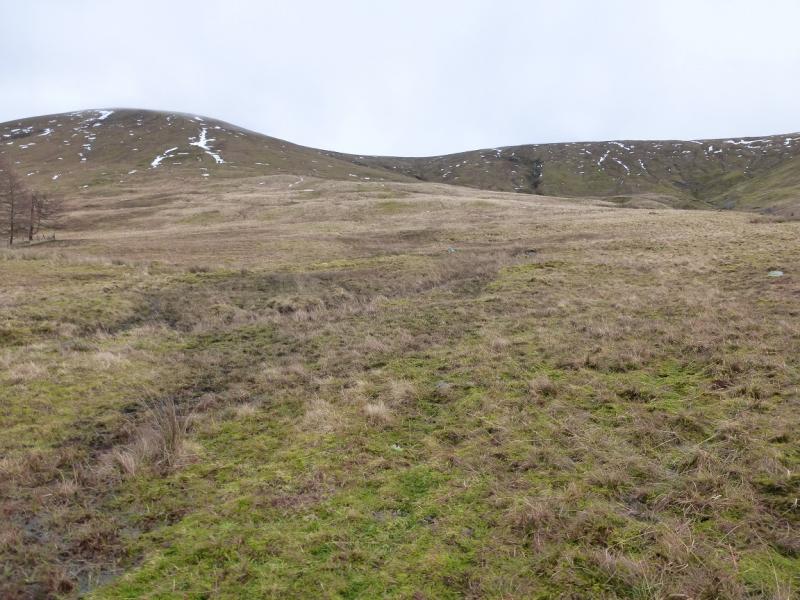
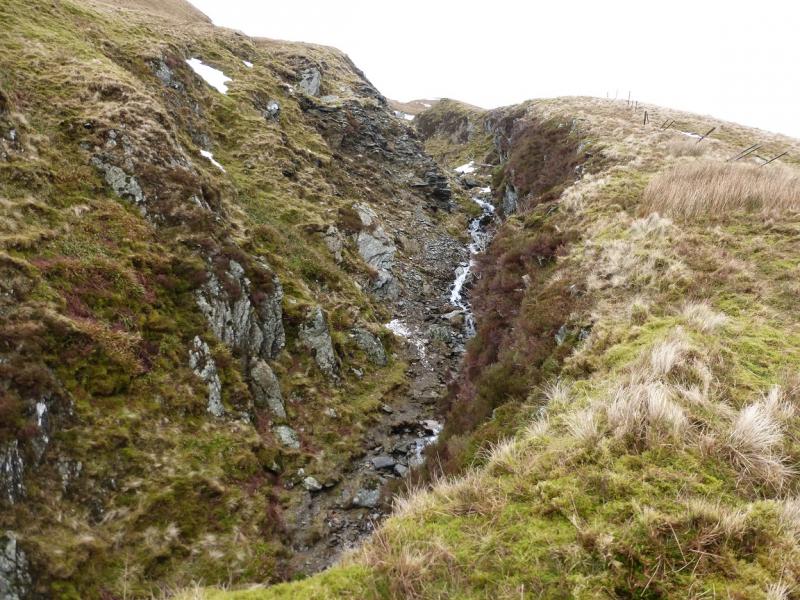
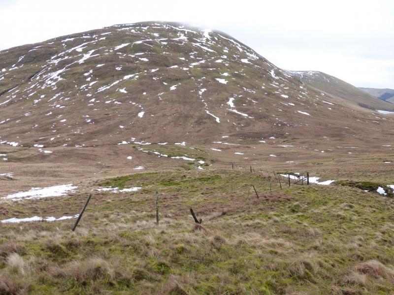
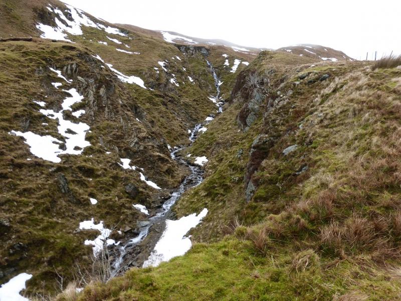
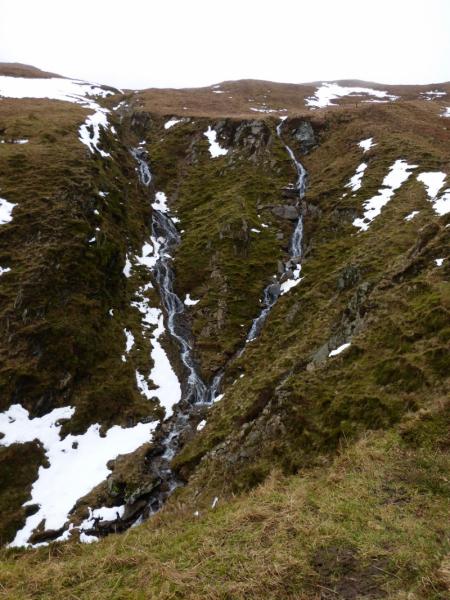
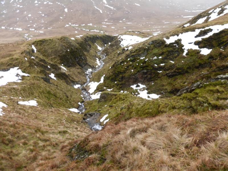
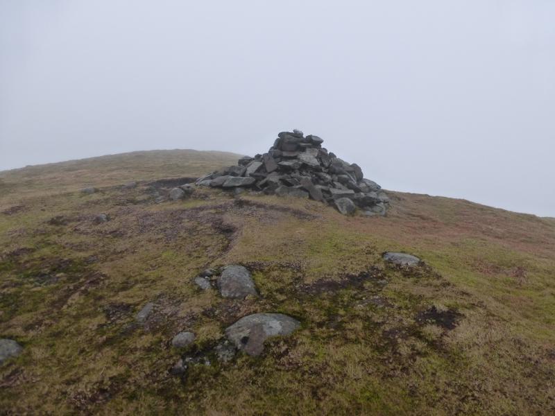
(2) Continue, roughly NW, following the fence along the crest until it (or a branch of it) turns down the W flank. Follow the fence down steep grassy slopes, passing a medium cairn just above the col. Continue following the fence as it goes right, across some wet ground in the col, then left as it climbs out of the col on the right hand, N, side of a stream. Higher up, this stream becomes a very pleasant gorge, with waterfalls, which twists and turns for some distance. Continue following the fence until its highest point is reached at a gap in the fence where, obviously, there used to be a gate. The summit is now very close but its cairn is out of sight. Turn right, roughly N, and ascend the moderately steep and grassy slope. Less than 30 m of ascent leads to a medium cairn which marks the summit of Beinn a' Mhanaich, 709 m.
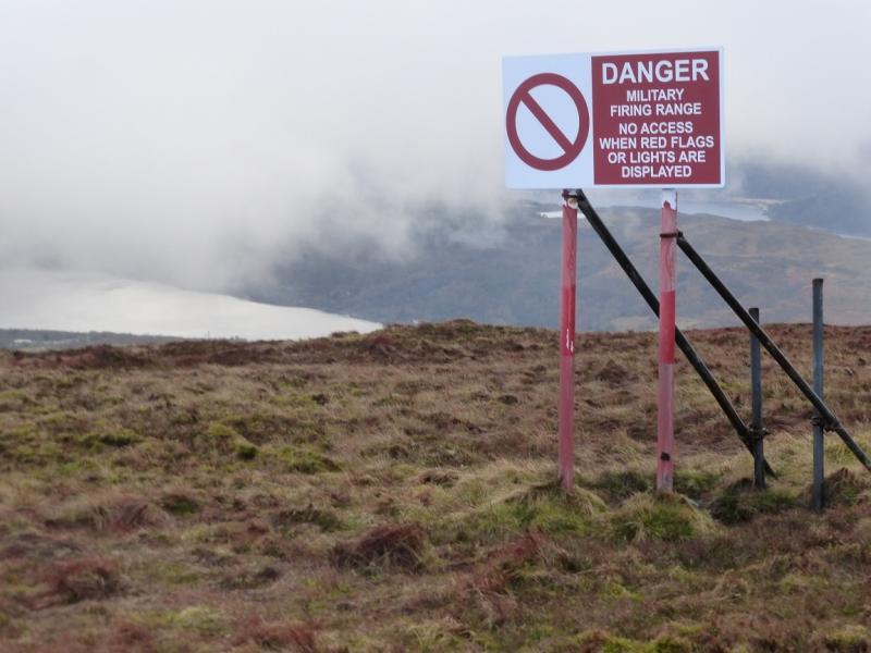
(3) Return to the gap in the fence and follow a path, roughly S, which leads along the crest. Lower down, a long line of military warning notices appears and these are a useful guide. The path descends to a gate in a fence crossing the lower ridge then continues to the road from where it is easiest to walk E to join the outward track back to the lower road. If the field directly across the upper road is entered then one may have to climb over barbed wire to get out!
Notes
(a) This walk took place on 27th January, 2015 and
(b) A fuller circuit could be achieved by ascending Auchengaich Hill from the start of the reservoir track then continuing along the crest to Beinn Tharsuinn and Beinn Chaorach. This extension has not been checked out.
Photos - Hover over photo for caption. Click on to enlarge. Click on again to reduce.