Get Lost Mountaineering
You are here: Scotland » 01 South of Oban to Stirling and Fife » Luss Hills
Beinn Eich, Cruach an t-Sidhein, Doune Hill & Beinn Dubh
Beinn Eich, Cruach an t-Sidhein, Doune Hill & Beinn Dubh
from Edentaggart in Glen Luss
Start/Finish
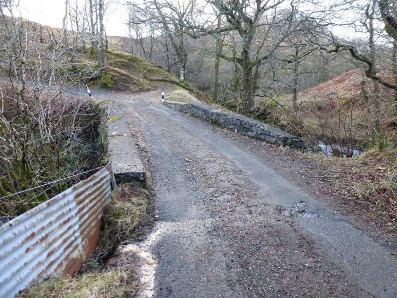
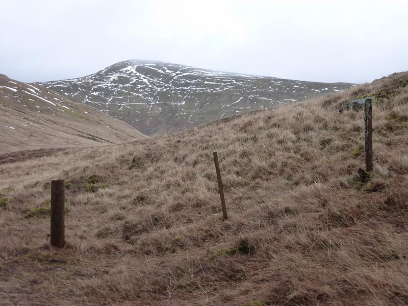
As near to Edentaggart as you can park, sensibly, at the end of the public road up Glen Luss. There is no parking at Edentaggart. The last parking space only holds one car and is just over the bridge over the Glen Mollochan Burn after which the road goes left and up. There is some limited parking further back which might hold 2 cars in a deep passing place.
Distance/Time
15 km About 7 – 8 hours
Peaks
Beinn Eich, 703 m, NS 302 946.
Cruach an t-Sidhein, 684 m, NS 275 965.
Doune Hill, 764 m, NS 290 971.
Beinn Dubh, 657 m, NS 321 962. OS Sheet 56.
Introduction
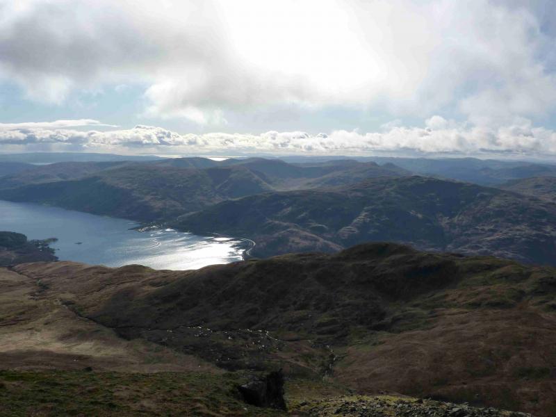
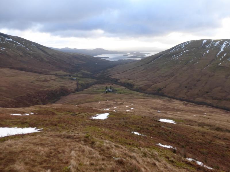
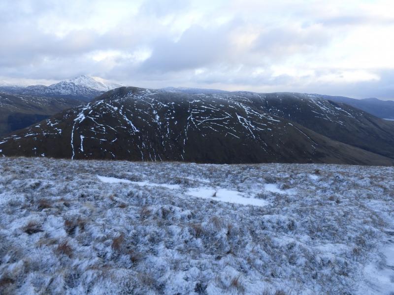
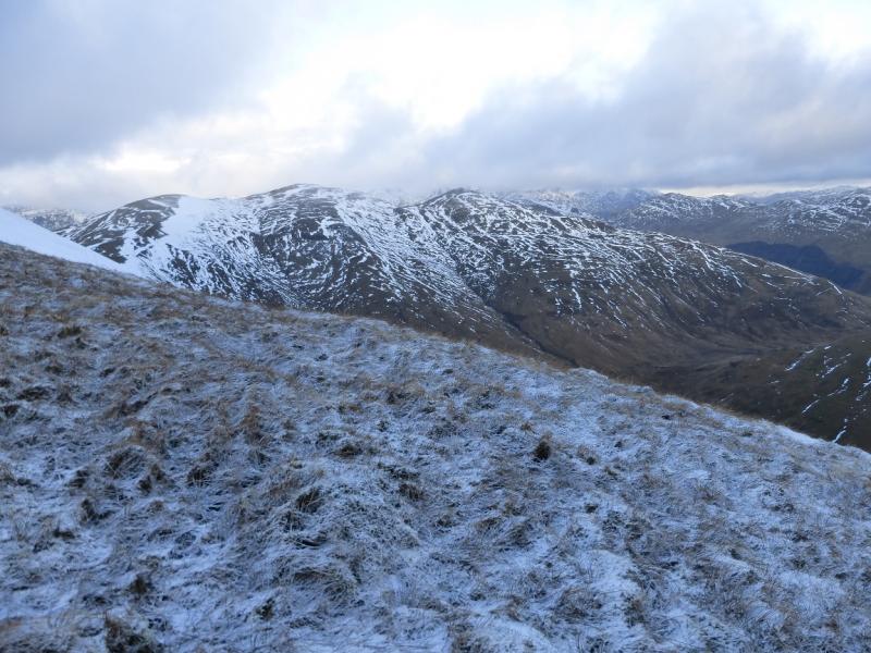
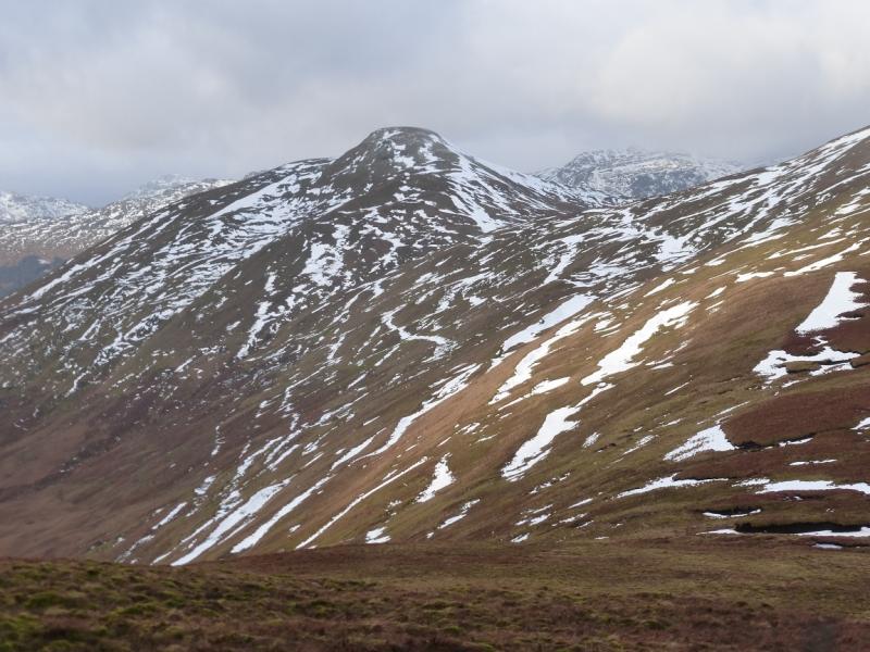
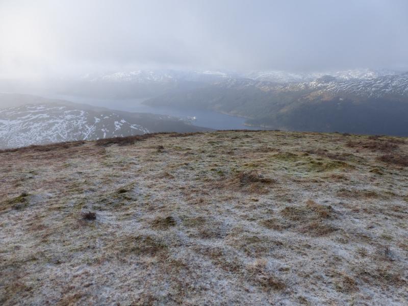
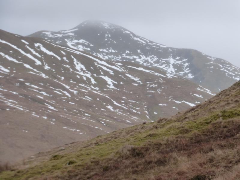
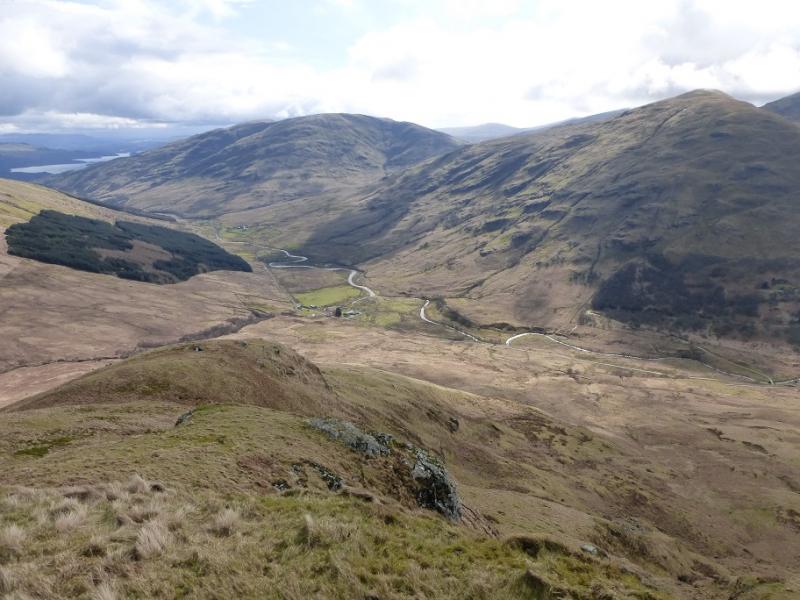
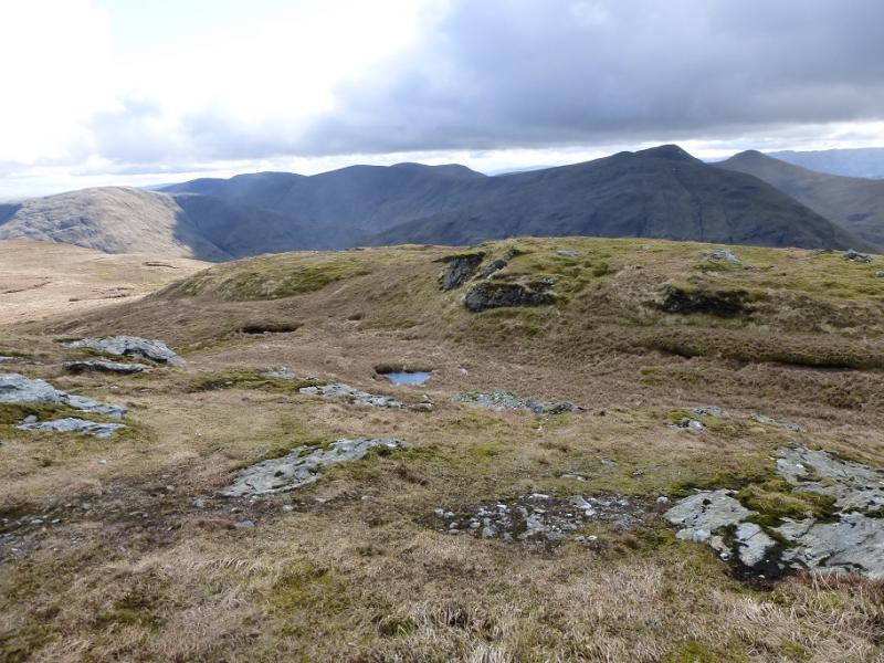
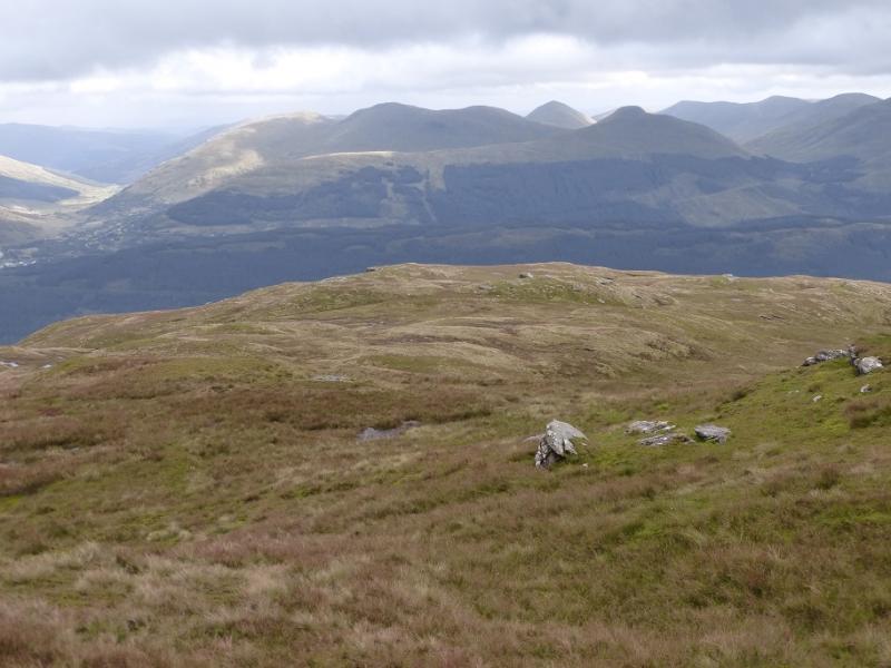
On a clear day, this is a lovely walk with magnificent views in all directions which include the Ben Lomond, the Arrochar Alps, Loch Long, Loch Lomond and beyond. On a misty day, navigation needs care as the ground can be confusing. There is a path for much of the way but it is faint in places and needs little in the way of snow to hide it. This is a tough walk as it covers four Grahams (peak over 2000 feet with at least 500 foot drop on all sides). There is about 580 m of ascent to Beinn Eich, about 170 m to Cruach an t-Sidhein, 210 m to Doune Hill and 430 m to Beinn Dubh. The combined ascents total more than the ascent of Ben Nevis! Depending on which map you have, there may be some confusion over the naming of Beinn Dubh. On the 1992 map, the summit of Beinn Dubh is named as Coire na h-Eanachan with the name Beinn Dubh being given to the top at NN 334 954 which is on a long broad ridge from the summit.
Route
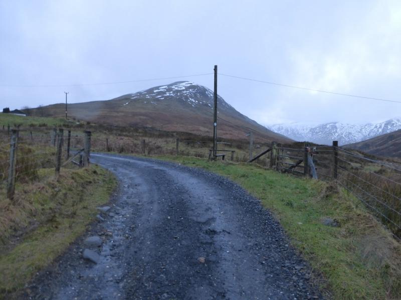
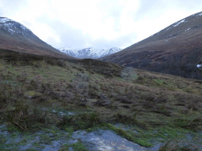
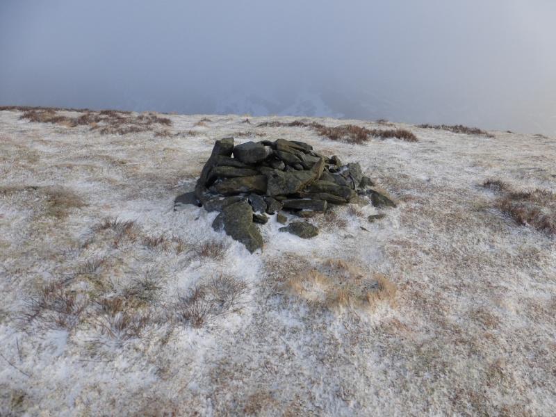
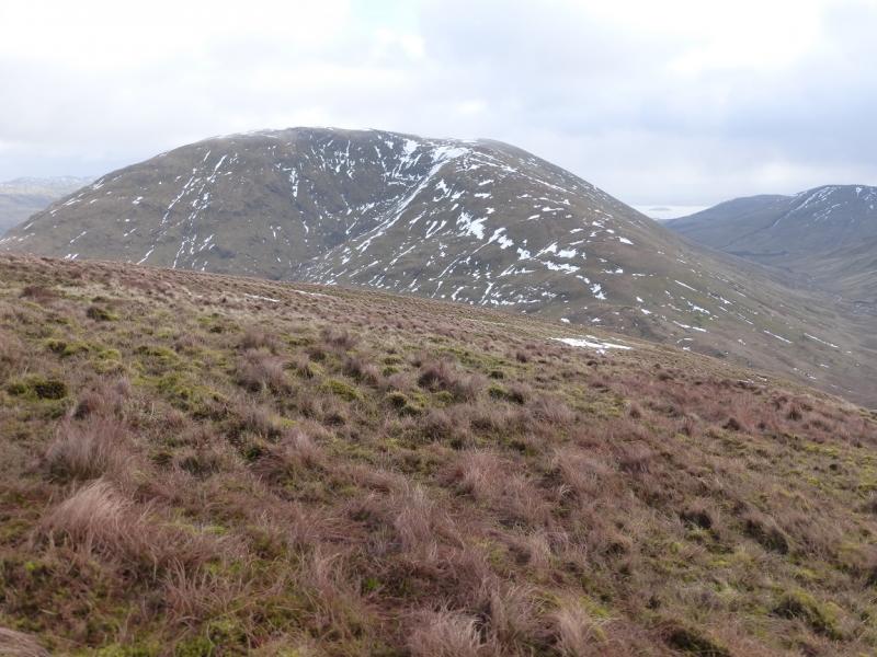
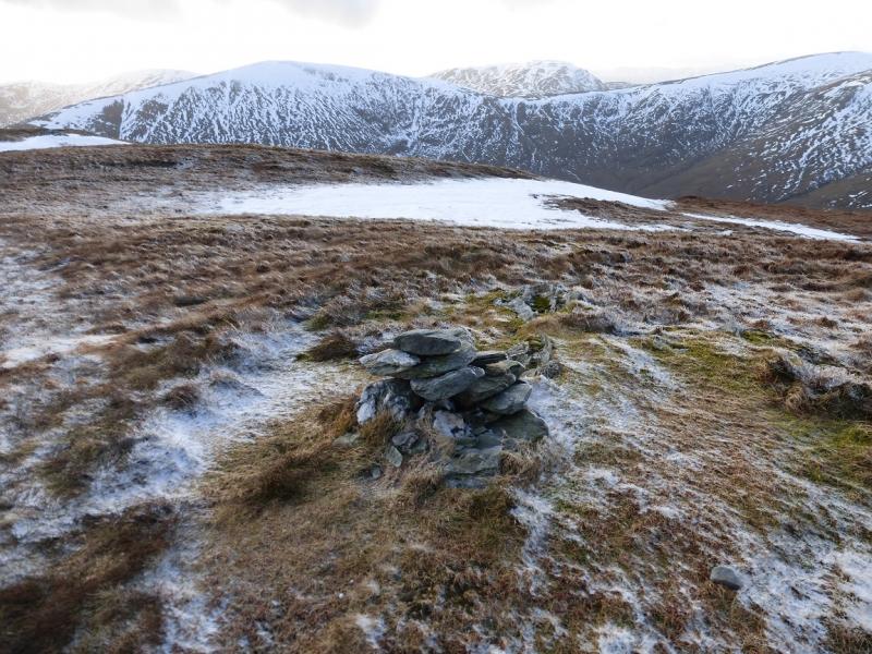
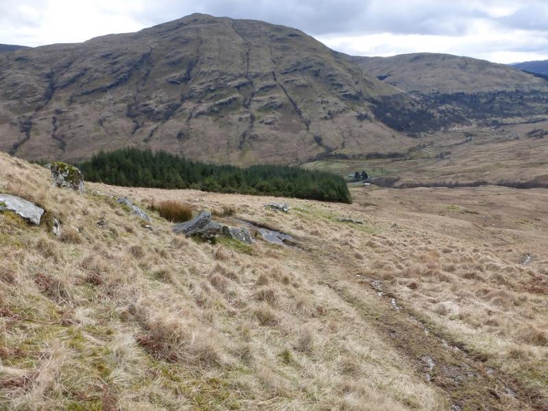
(1) Walk up the road to just below Edentaggart where there is a stile and sign post. Cross over and follow a wet path up the long E ridge of Beinn Eich. The summit is on a fairly level crest. There may be a small cairn but on 26/1/15 there was enough snow on the crest to cover a small cairn so the actual highest point may not be too obvious in such conditions but if you stay on the crest you will walk over the summit of Beinn Eich, 703 m, whether you notice it or not!
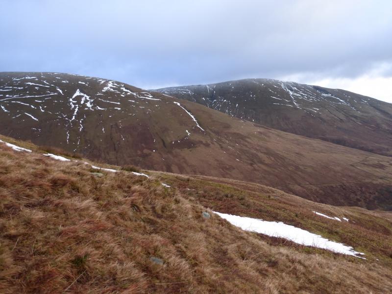
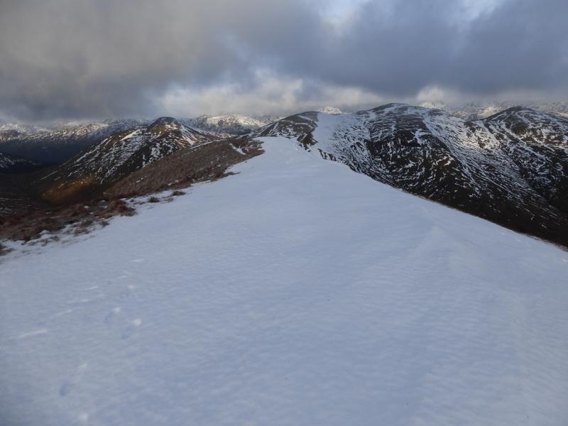
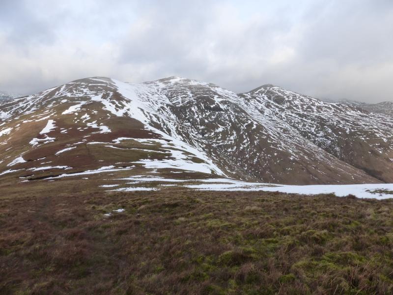
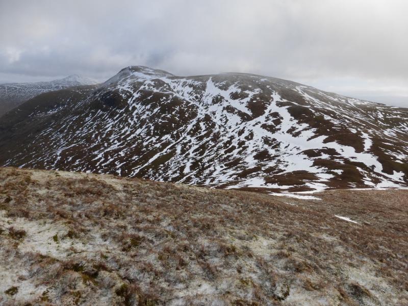
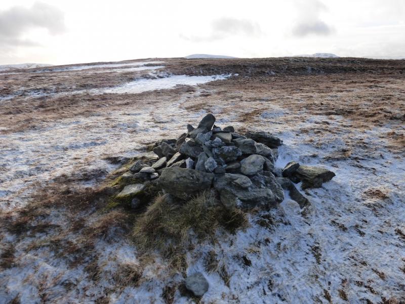
(2) Continue along the crest, descending roughly NW, on a path, to reach a broad col. From here, contour round, with hints of a path, to reach the E col of Cruach an t-Sidhein. Ascend W, initially on steep grass, to reach a ridge going NW then W to a small plateau where a small cairn marks the summit of Cruach an t-Sidhein, 684 m.
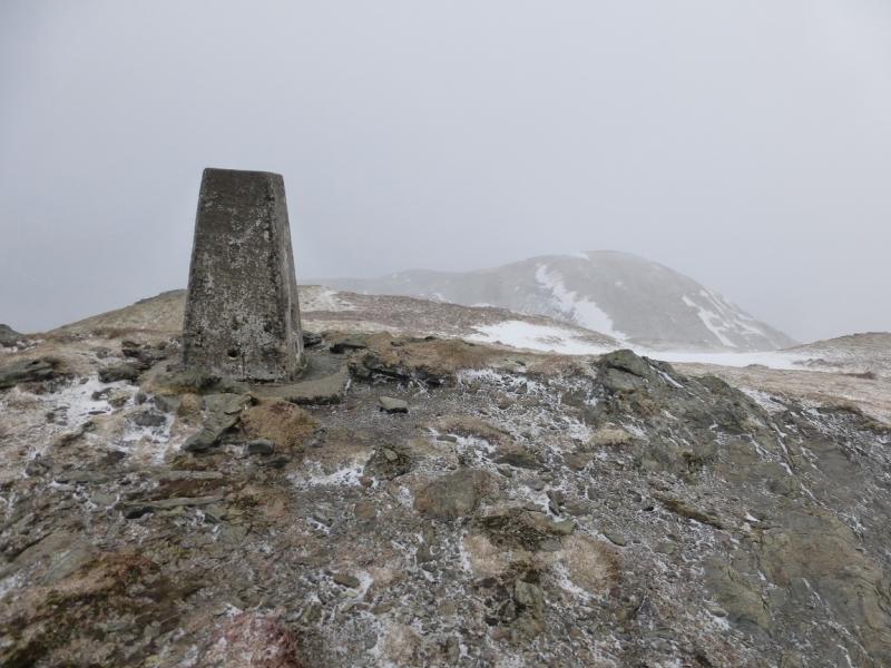
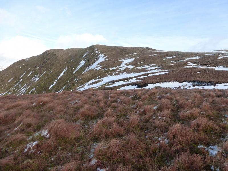
(3) Retrace to the E col then ascend W becoming WNW, with more than a hint of a path, to reach the Beinn Lochain crest. Follow this, on a path, N then NE to a small plateau where a trig point marks the summit of Doune Hill, 764 m.
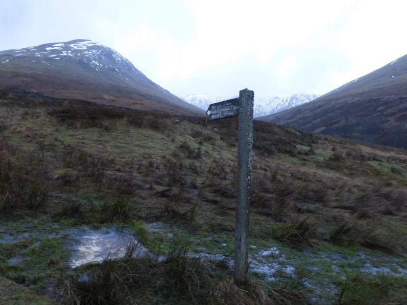
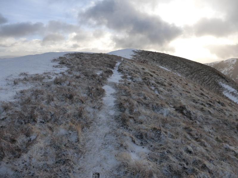
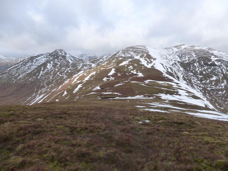
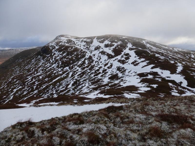
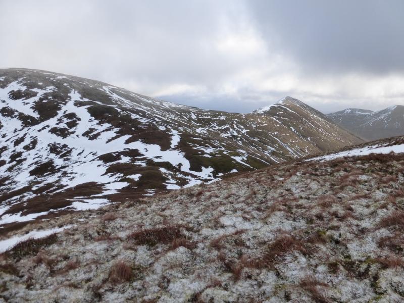
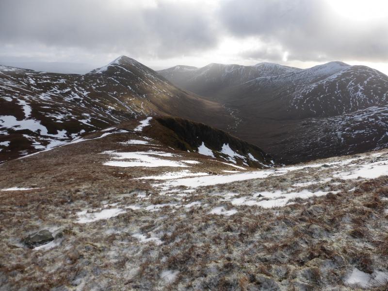
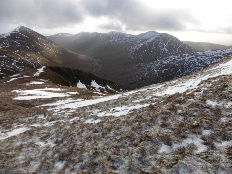
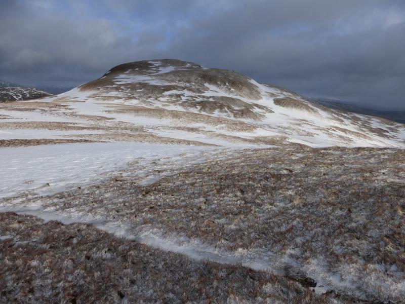
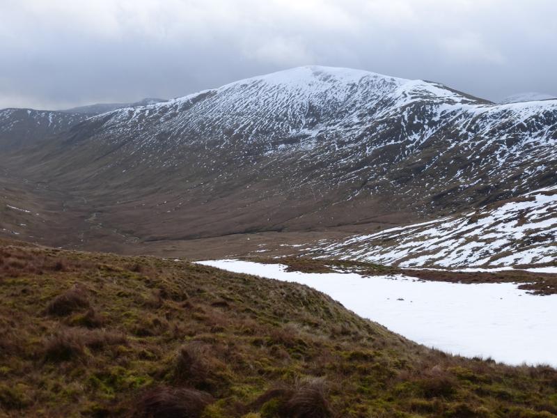
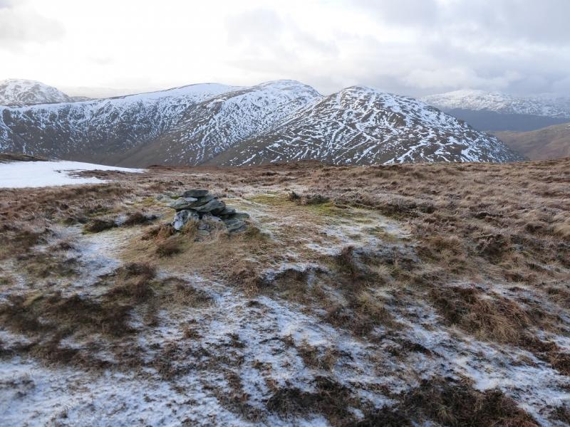
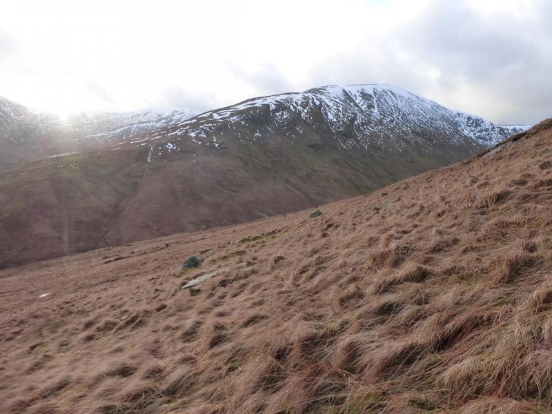
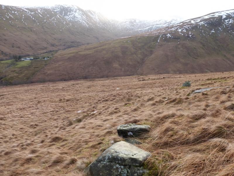
(4) Continue NE along the crest as if heading for Top 700 which has a path up it for those who wish to visit its summit. Once in the col before Top 700, descend SE down rough grassy and mainly pathless slopes with a few steep sections which may be awkward under snow. The long descent leads to a broad and wet col at the head of Glen Mollochan. An ascent almost as long now has to be tackled. Head E up the rough grassy W ridge with little in the way of a path. When the angle eases, gain the crest between Mid Hill and the summit and follow the path NNE along the crest to reach a small cairn which marks the summit of Beinn Dubh, 657 m. The path continues for about 200 m to a second cairn which seems lower.
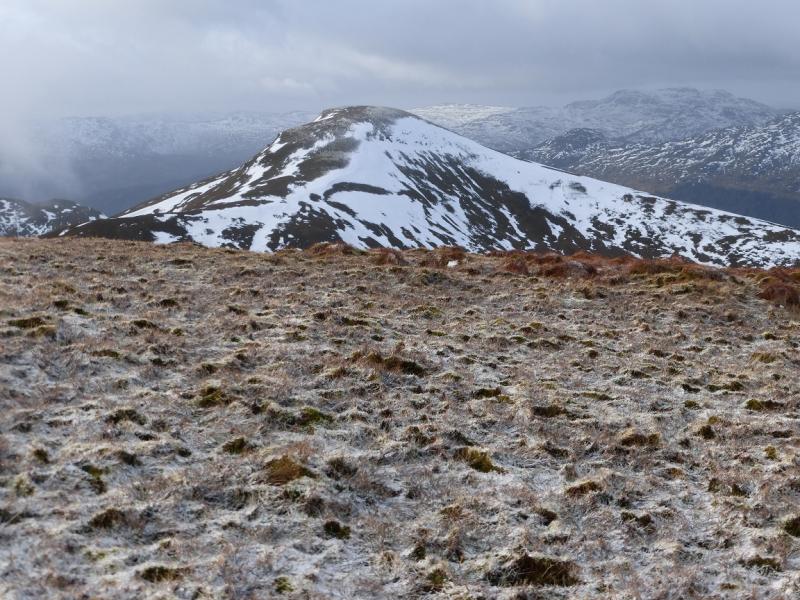
(5) Retrace along the crest to Mid Hill on a path then descend the long SE ridge of Mid Hill. The path is quite distinctive until fairly low down when a fence crosses the ridge. Follow the fence going right then down, ignoring all opportunities to cross it. Lower down, the fence becomes a wall. Further down, a track goes through a gate in the wall. Cross the wall here then after about 10 m turn right and descend towards the road aiming for the bridge over the Glen Mollachan burn. Just before the road, a fence seems to block access but a short section is missing and the road is just below.
Notes
(a) This walk took place on 26th January, 2015 and
(b) Given the problems with parking, if possible, one could be dropped off at Edentaggart then walk the above route to the summit of Beinn Dubh but, instead of descending the Mid Hill ridge, follow the long ridge to Top 643 then descend its long SE ridge to reach the Glen Luss road at its junction with the A82. This descent has not been checked out so there may be problems with it.
Photos - Hover over photo for caption. Click on to enlarge. Click on again to reduce.