Get Lost Mountaineering
You are here: England » Peak District » Kinder, Harry Hut, Burnt Hill, Mill Hill & Wormstones from Glossop to Hayfield Road
Burnt Hill, Mill Hill, Harry Hut & Wormstones from Glossop
Burnt Hill, Mill Hill, Harry Hut & Wormstones from Glossop
Start/Finish
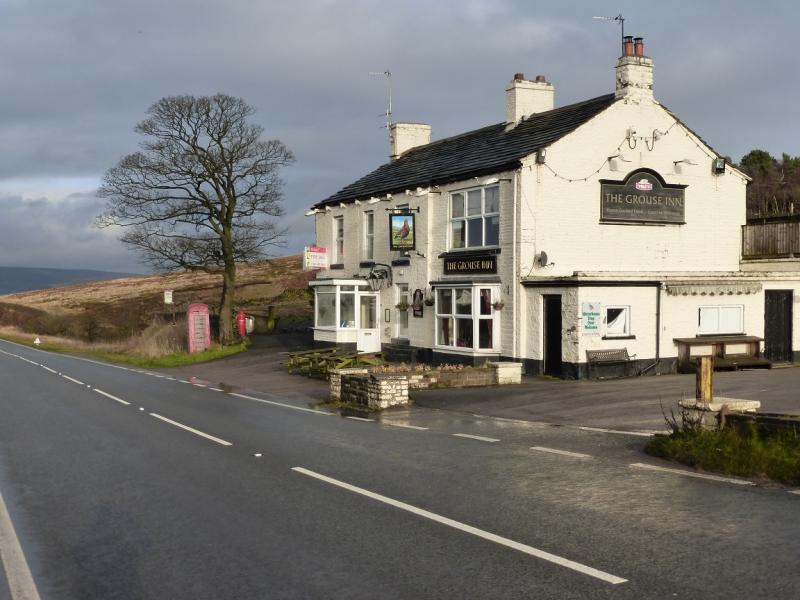
Glossop. If only one car is available then the bus can be used to reach the Grouse Inn. It leaves from Henry Street which is just below the large Co-Op which is next to the station. Parking is not easy to find close by so allow time for this. The two most likely buses leave at 9 am and 10 am. Bus passes are only usable after 9.30 am. On 14/1/2015, the single fare was £1.70. If two cars are available, one can be left in Glossop and the other in thelong layby about 300 m N of Grouse Inn on Hayfield to Glossop road. Grouse Inn is about 2.5 miles from both Hayfield and Glossop on the A624. Coming from Buxton, take the A6 to Chapel-en-le-Frith then follow signs to Glossop. Coming from Chesterfield, take A619 to Baslow then A623 through Calver to Chapel-en-le-Frith then follow signs for Glossop. From Sheffield, take A57, Snake Pass, to Glossop then take A624 towards Hayfield.
Distance/Time
9 km About 3 hours
Peaks
Burnt Hill, 452 m, SK 045 902.
Mill Hill, 544 m, SK 061 504.
Harry Hut, 440 m, SK 044 907.
The rest of the walk is on edges, ridges and open moorland.
OS Outdoor Leisure 1: Dark Peak. OS 110 (1:50 000).
Introduction
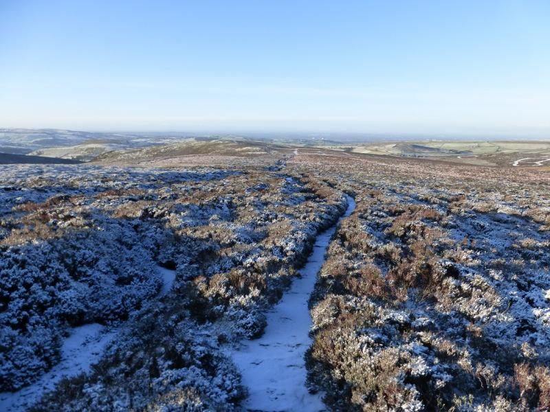
This is mainly a pleasant ridge walk on reasonable ground although some sections can be boggy. It is ideally suited to short winter's days when the ground is frozen. There are paths all the way with a slabbed path much of the way to Mill Hill from where there are good views of Kinder and Higher Shelf Stones.
Route
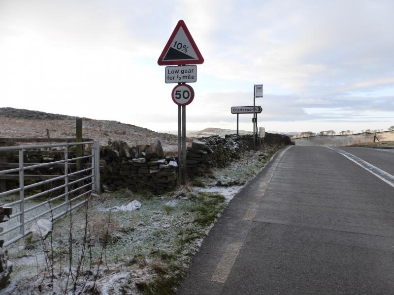
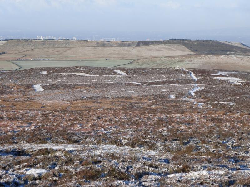
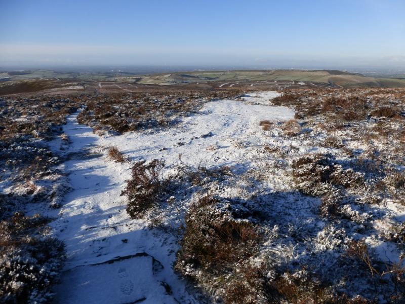
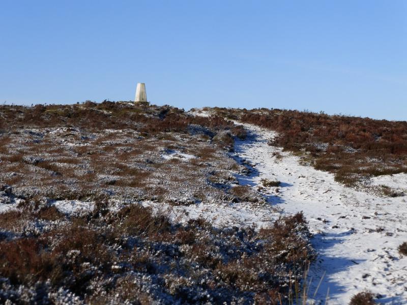
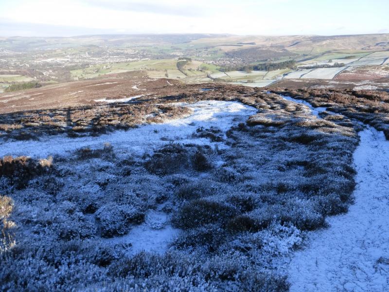
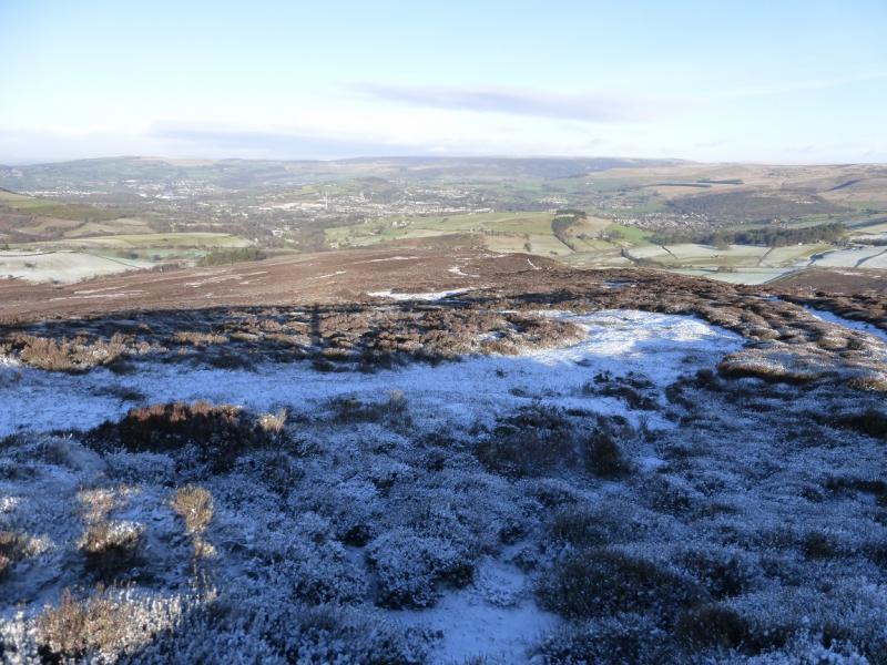
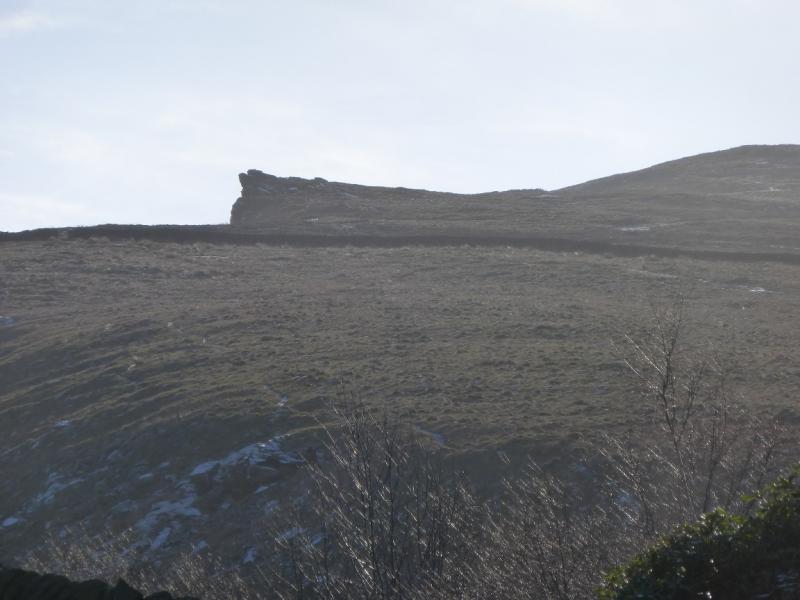
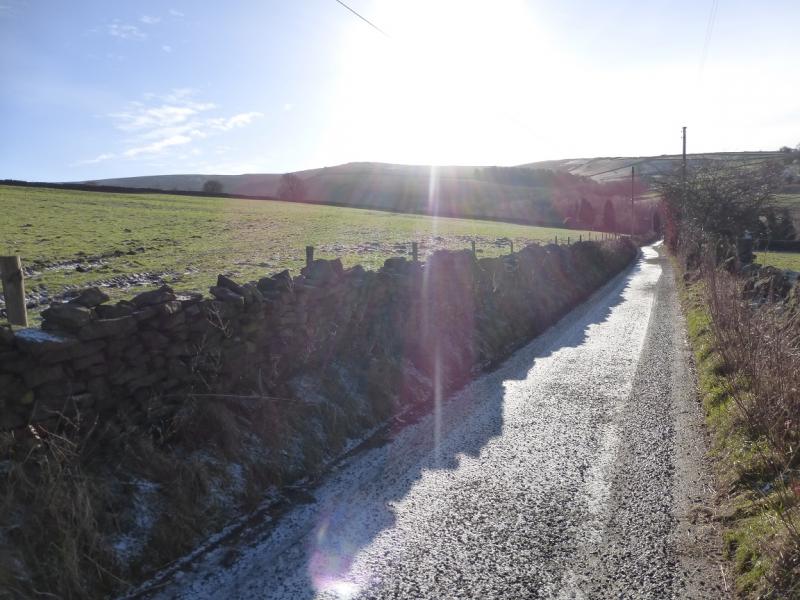
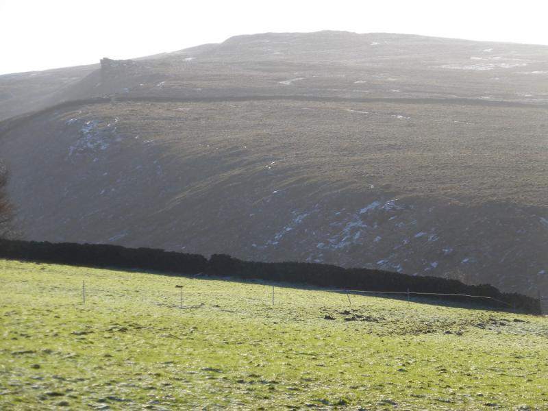
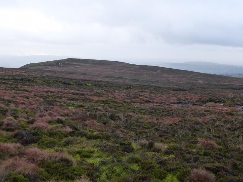
(1) Going S, towards Hayfield and Buxton, walk past the Grouse Inn for a few hundred metres until the turning, on the right, for Charlesworth. Opposite, on the left, is a stile where the path to Burnt Hill starts. Follow this path, by a wall, to a gate where one enters National Trust land by a sign for Burnt Hill. Continue up on to Burnt Hill, 452 m, where there is no cairn but the highest point seems to be just to the right of the path. If it is clear, Harry Hut is easily seen about 600 m to the N.
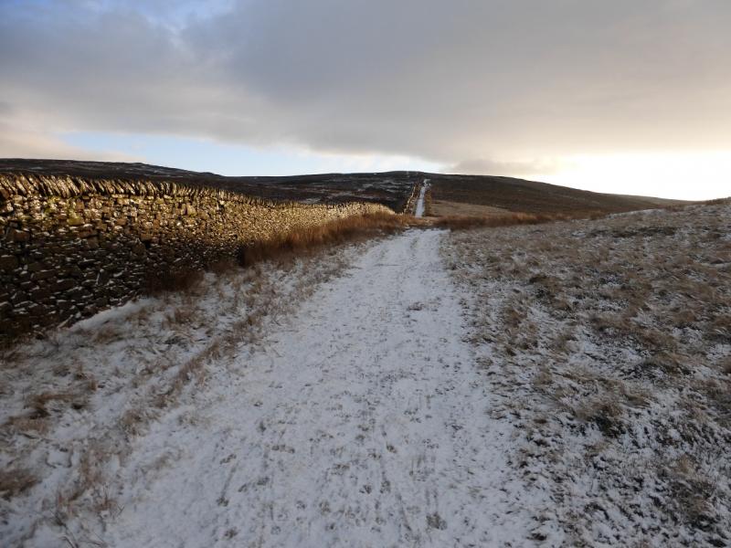
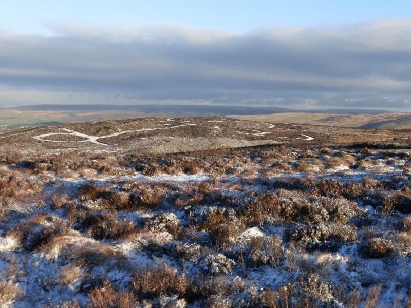
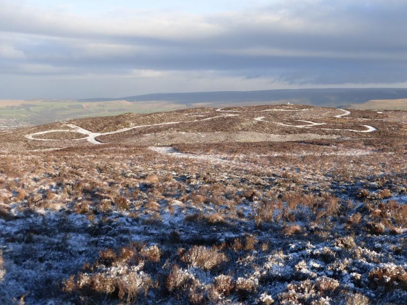
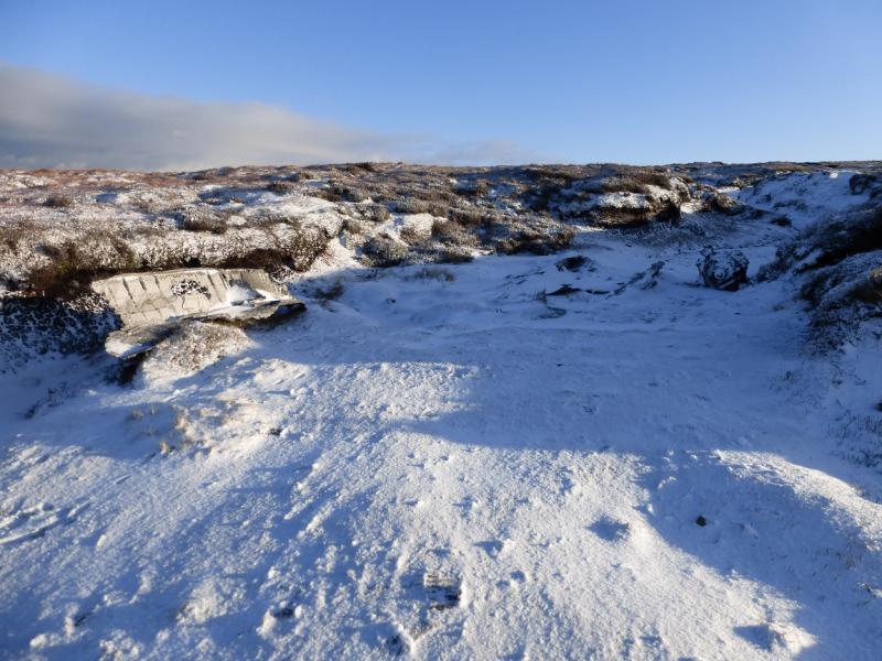
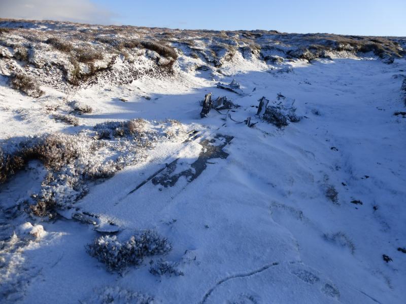
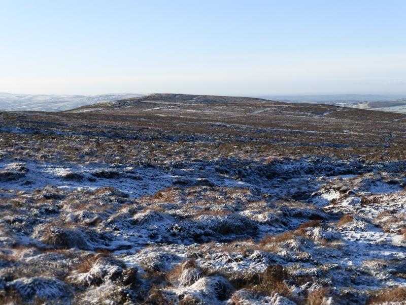
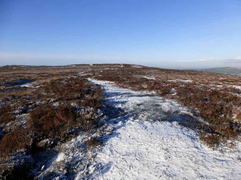
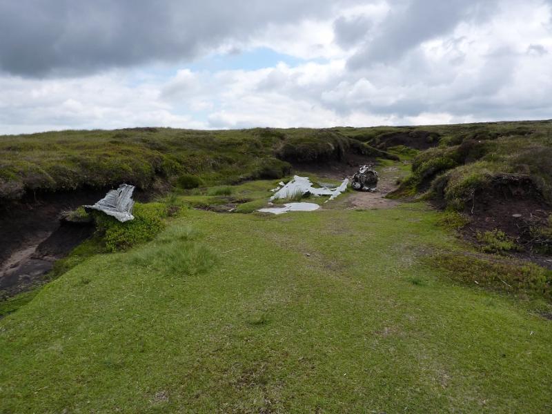
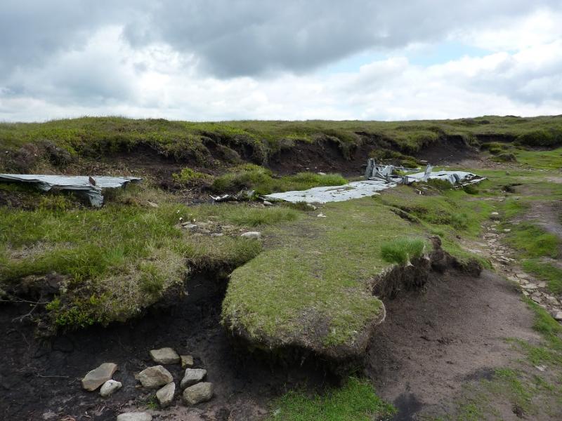
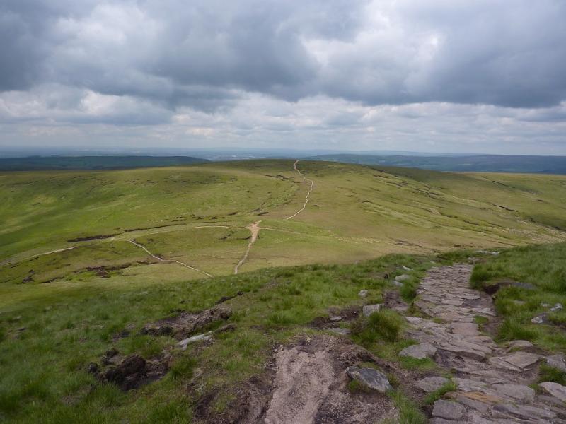
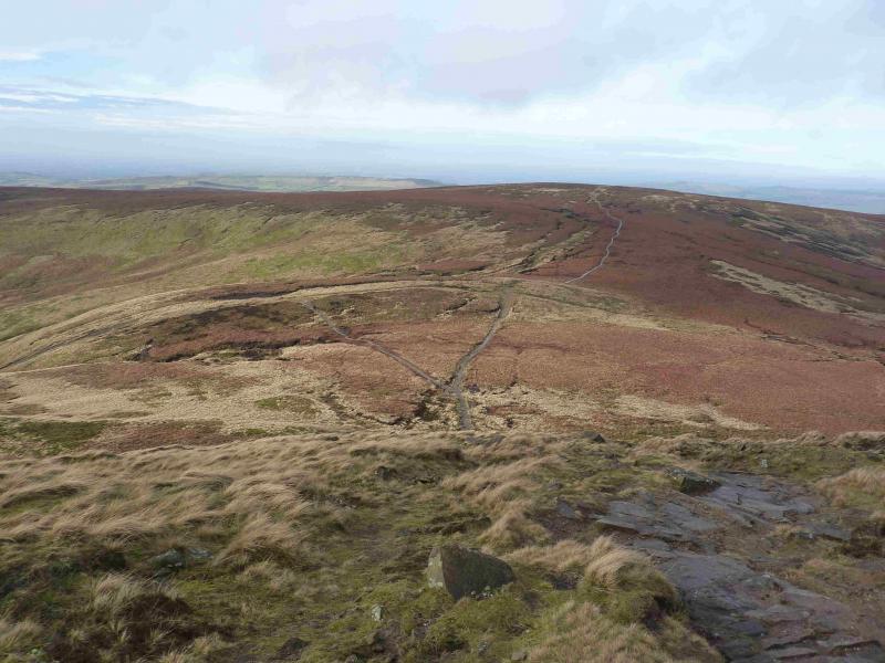
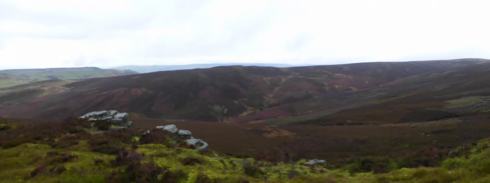
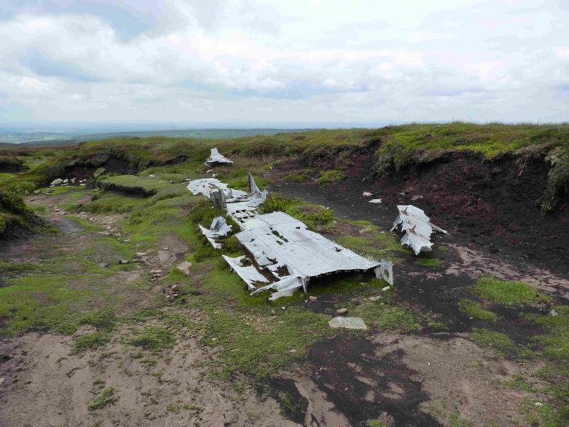
(2) Continue, descending slightly, still on the path which soon becomes a slabbed path. Higher up, a clean grassy gully appears on the left in which there is some old aircraft wreckage. It is worth walking up this shallow gully as there is some more wreckage slightly higher up. The gully soon peters out and the slabbed path can be rejoined. Continue up, reaching a large but low cairn which is the summit of Mill Hill, 544 m. There is a crossroads of paths here. Ahead and left is the Pennine Way leading to the top of the Snake Pass and Kinder, respectively, whose W edge is very prominent in clear weather, to the right is a faint path heading towards Leygatehead Moor.
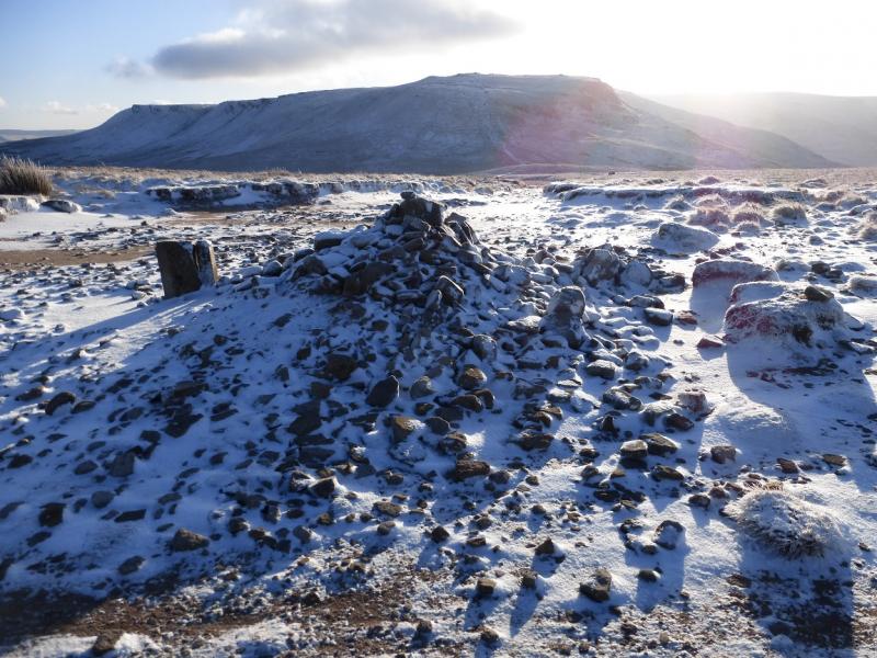
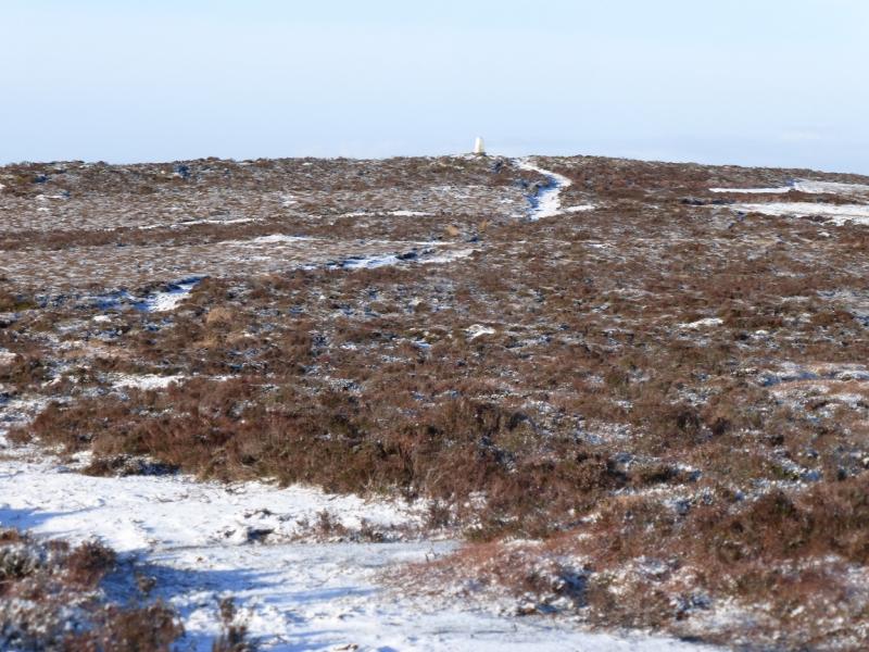
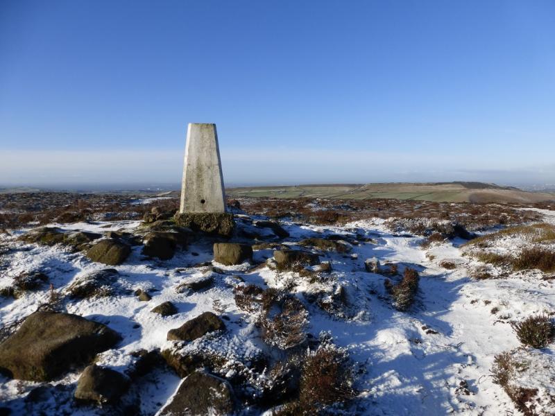
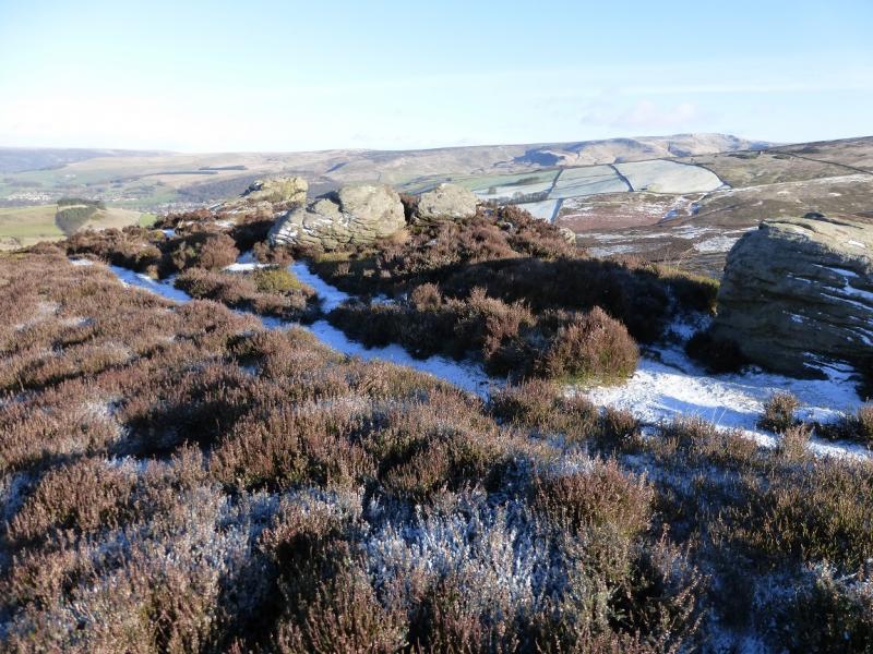
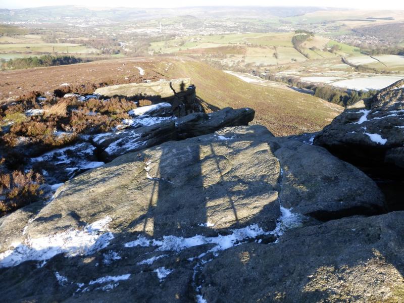
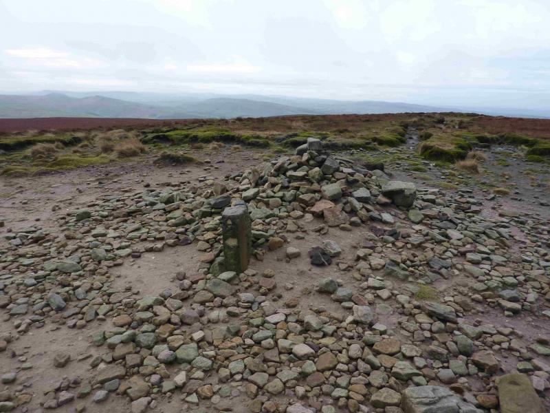
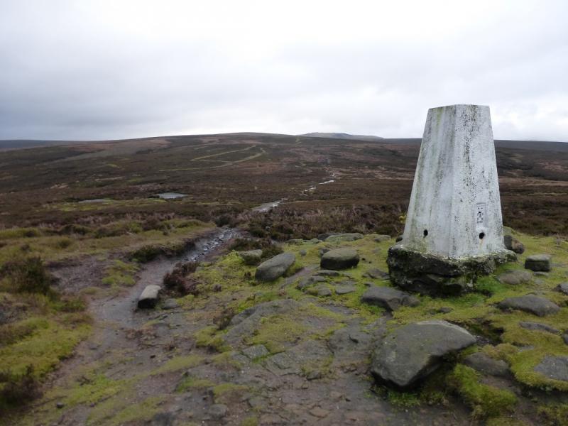
(3) Retrace on the slabbed path and go past the gully containing the aircraft wreckage. Further down, and very obvious in clear weather, a wide path forks right from the slabbed path. Follow this down into a shallow hollow then up to the white trig point which is the summit of Harry Hut, 440 m.
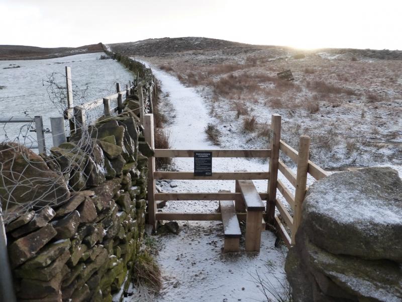
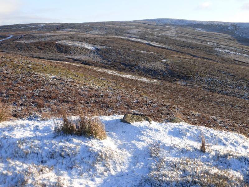
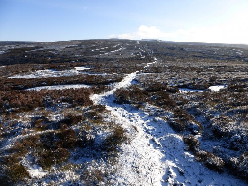
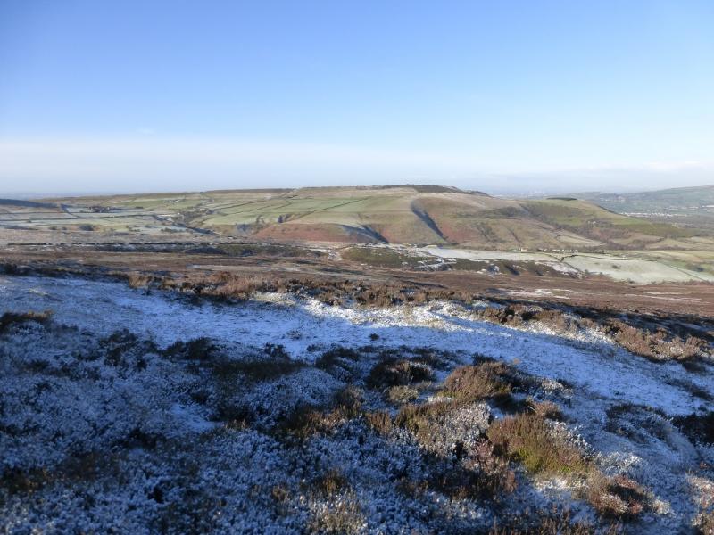
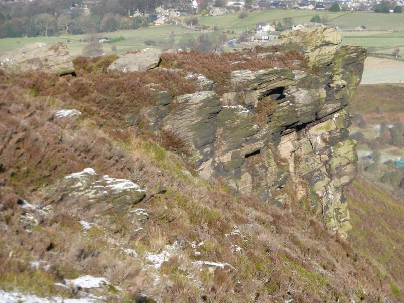
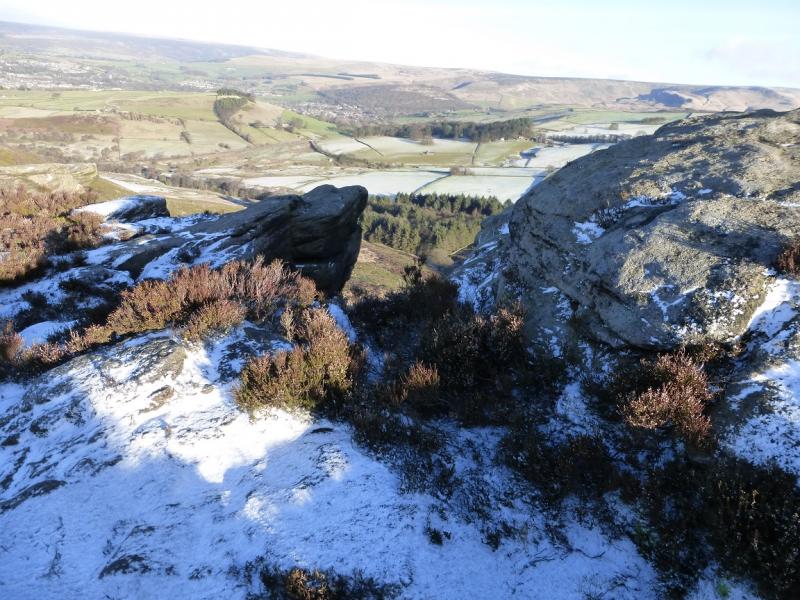
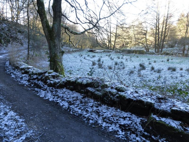
(4) From the trig point go slightly W of N staying on the crest of a heathery ridge. There is a path which offers variations lower down. After about 1 km, Wormstones is reached which is on the right of the crest and is the only prominent outcrop/cliff on this ridge. Continue down, on the path, which reaches a minor road at about SK 038 923 where there is an old access sign and a stone bridge. The main road is less than 200 m to the left. Cross the bridge then follow the path down, with the stream on your right. The path goes through a pleasant wood but it can be boggy. Reach a track. Go left then soon leave it to cross a bridge over the stream. Follow a path up the bank to reach the end of a tarmac lane by a cottage. Follow this lane which later joins a road. Stay on the quiet road, enjoying good views, until it descends quite steeply by a series of bends. At the bottom, opposite a bridleway on the right and just before a bridge, go left along a track then take the path by the river (on your right). Follow this path which later climbs and joins a normal street. Turn right then right again, into King Street, and follow this down to come out next to the Travelodge complex.
Notes
(a) This walk took place on 14th January, 2015.
Photos - Hover over photo for caption. Click on to enlarge. Click on again to reduce.