Get Lost Mountaineering
You are here: England » North Pennines
Mickle Fell from B6276 South Approach
Mickle Fell from B6276 South Approach
Start/Finish
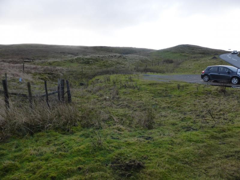
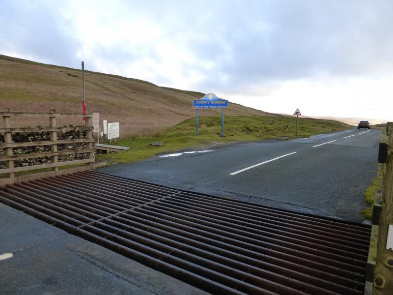
The cattle grid on the county boundary between Cumbria and County Durham on the B6276 road from Brough To Middleton-in-Teesdale. This is about 4 miles from Brough at a height of over 400 m. There is some car parking on the Brough side of the cattle grid. It is rare for other cars to be there as access is restricted by the army. Your car may feel exposed parking here so best not to leave valuables inside it.
Distance/Time
12 km About 4 – 5 hours
Peaks
Mickle Fell, 788 m, NY 806 245. OS 1: 50 000, Sheet 91.
Introduction
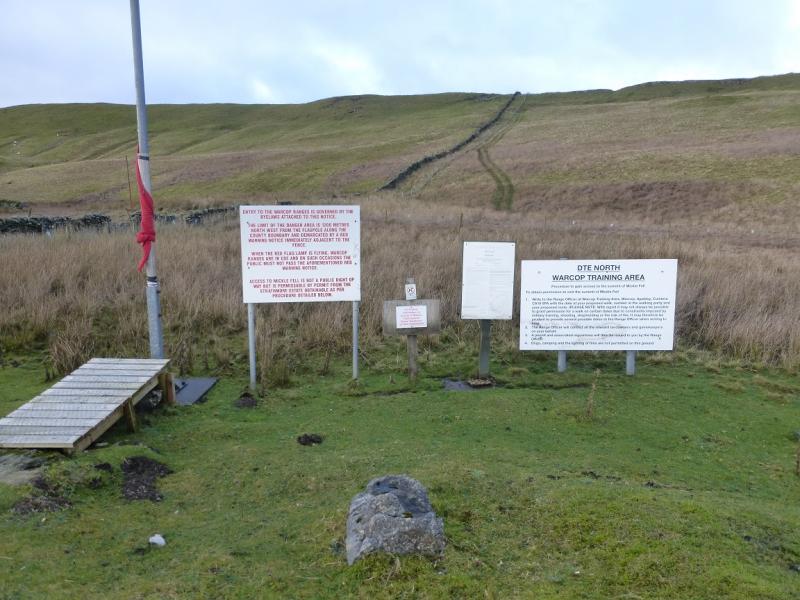
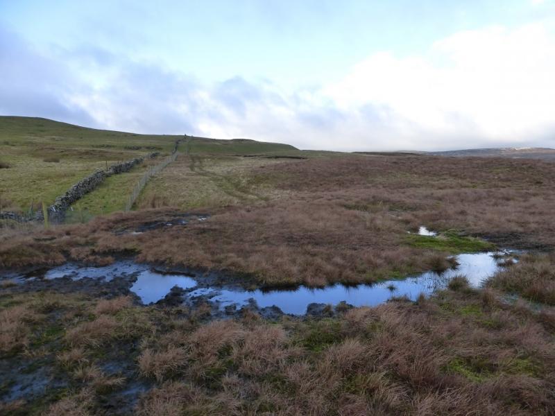
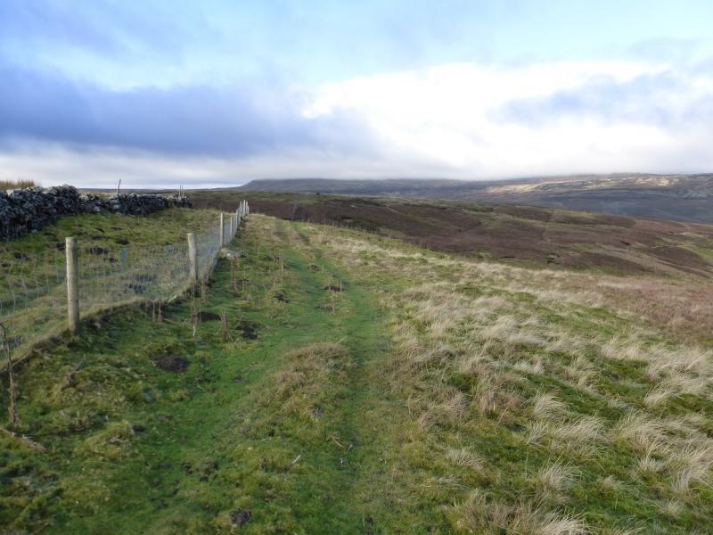
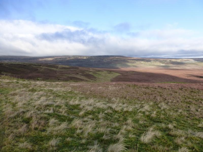
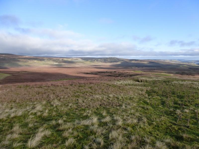
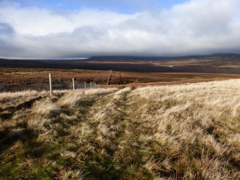
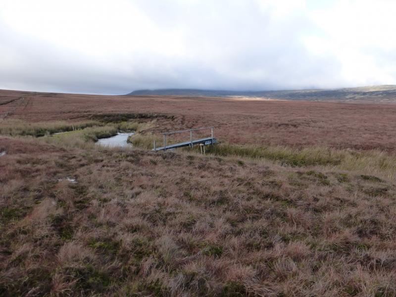
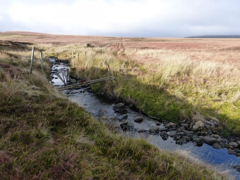
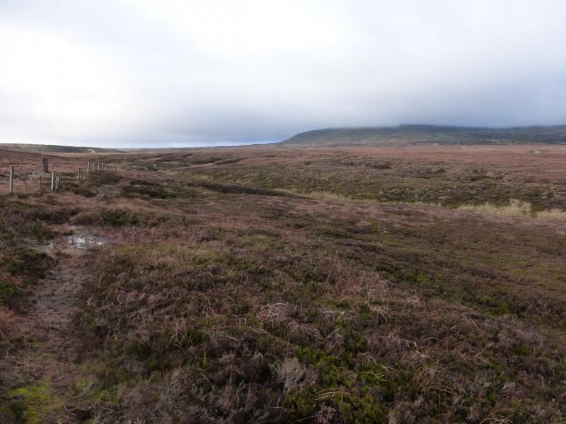
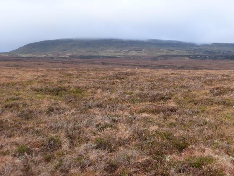
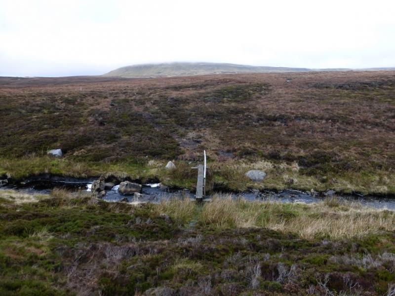
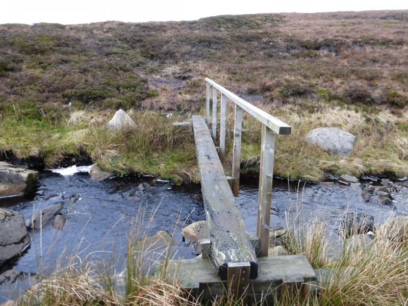
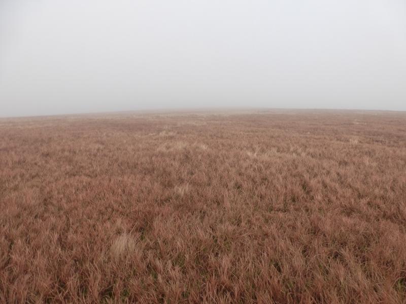
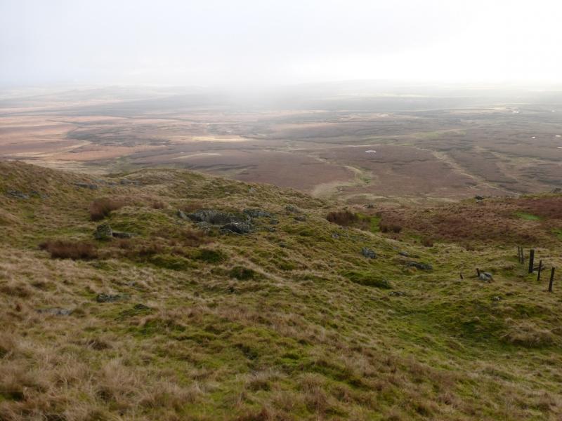
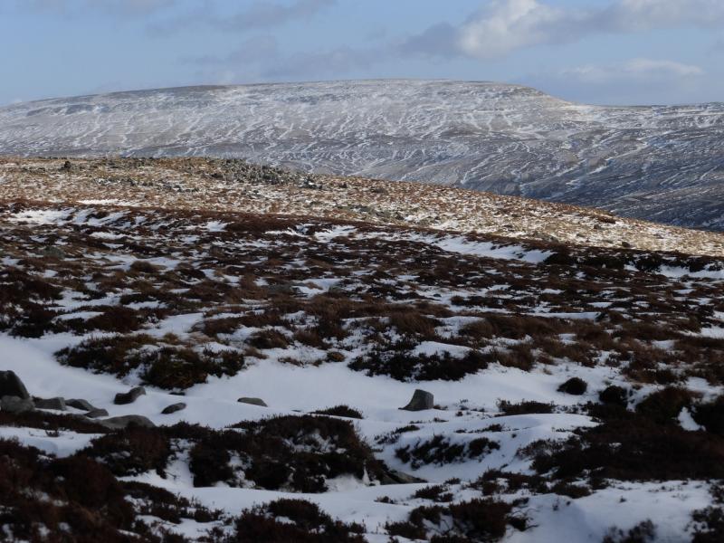
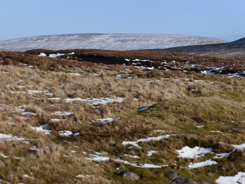
Mickle Fell is a high moorland hill whose summit is a long curving ridge. Unfortunately, it lies within an army firing range so access is somewhat restricted but allowed at certain times provided you stick rigidly to the allowed route which includes the summit but not the trig point. The army HQ is at Warcop on the A66 between Brough and Appleby. Contact the guardroom in the first instance on 017683 43236. It takes time for access to be granted as many people are in the loop so don't expect to be able to turn up and walk the same day. Even 2 weeks notice may not be enough so plan well ahead. If access is granted, a permit will be issued which you will need to collect from Warcop. You need this permit to go on to the hill as it is usually under surveillance and you may be challenged to prove you have permission. This can, of course, mean that you get a bad weather day and see nothing but that is the way it goes sometimes! This route is from the south but there is another allowed route from the north which goes up Maize Beck from Cow Green Reservoir. This is probably more scenic than the southern approach which goes across quite boggy moorland with bridges only across the major streams and minor streams may be awkward after heavy rain. The going is rough and boggy so progress will be slow. Don't underestimate the time needed for the walk. Some will need 5 – 6 hours. Navigation is easy up to the summit crest, even in mist, as a fence can be followed all the way; the fence being the county boundary. Views depend on the weather in this part of the world but, potentially they are very good especially to the reservoirs.
Route
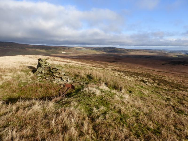
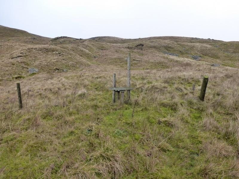
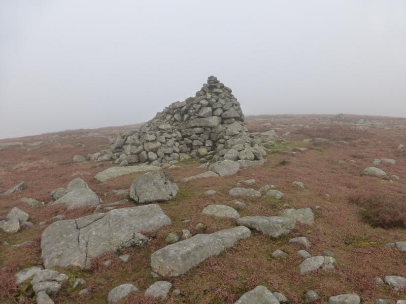
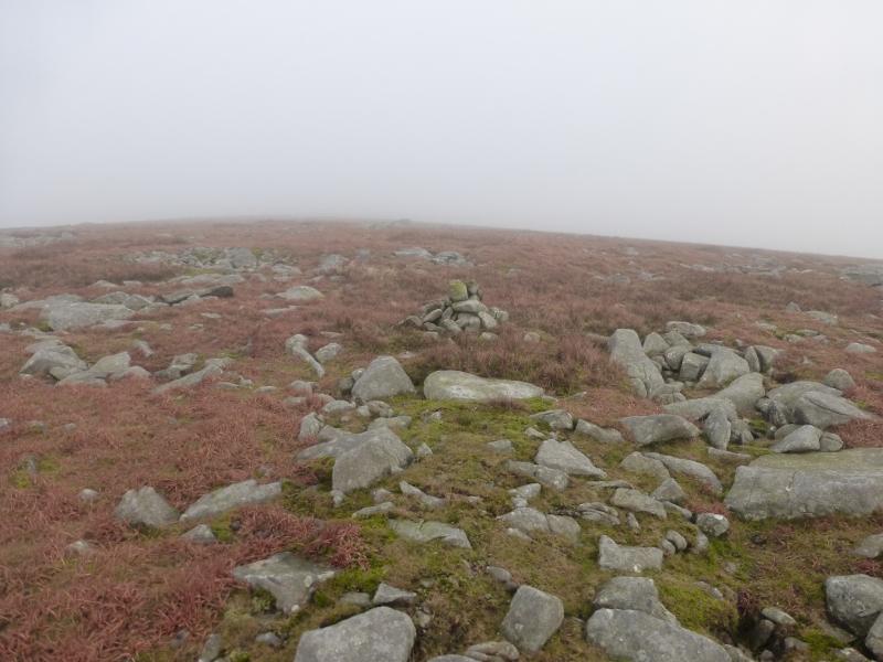
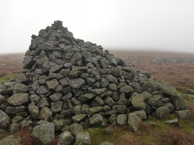
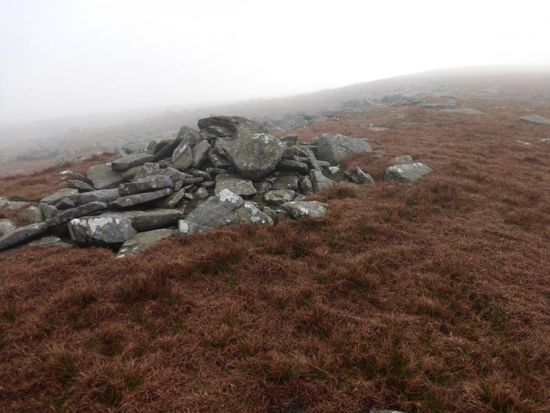
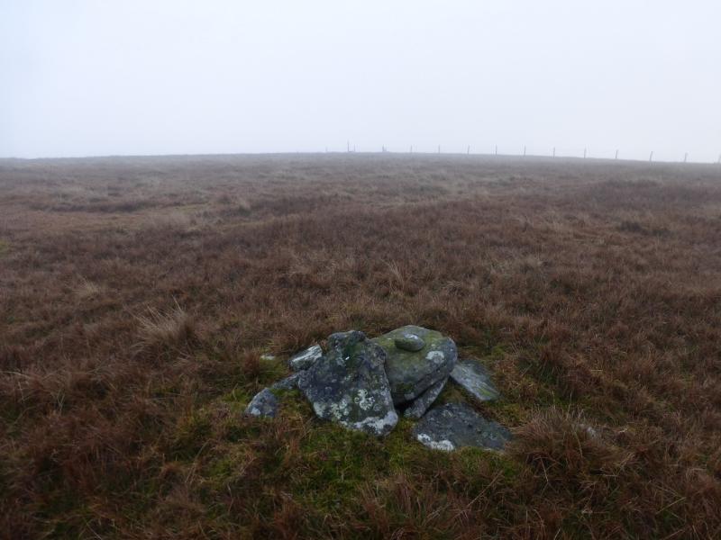
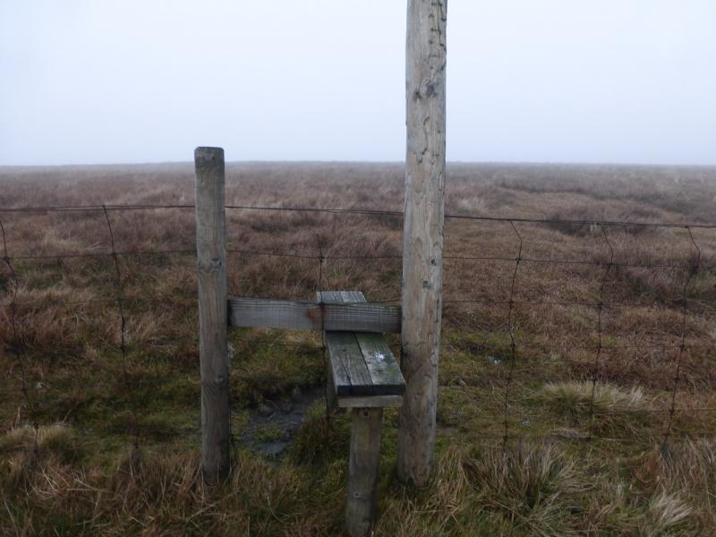
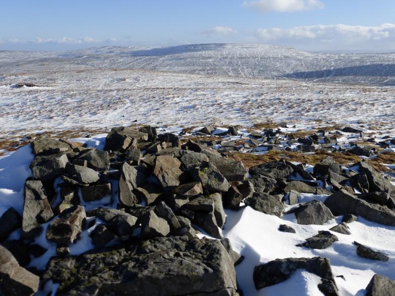
(1) From the cattle grid, walk NNW by the fence to the E of the wall. Follow this over undulating, rough and boggy ground, crossing two major streams by bridges and the other streams as best you can. There is a distinctive path much of the way as well as some ATV tracks but do not stray too far from the fence. After about 4 km, the fence climbs moderately steeply up grassy slopes. There is a stile lower down and one at the top to give access to the summit ridge which is almost flat. From the top stile, unless it is very misty, one can see a small cairn in the middle of the crest. From here, an ATV track goes NE to the large distinctive cairn which marks the summit of Mickle Fell, 788 m. There is a medium cairn on the SE edge (which has a fence just below it) but this is well off the ATV track.
(2) Retrace the outward route back to the start. Do not go further along the crest to the trig point.
Notes
(a) This walk took place on 30th November, 2014.
(b) Brough is a much larger village than it looks from the A66 and has decent facilities including shops, pubs, fish and chip shop and toilets.
Photos - Hover over photo for caption. Click on to enlarge. Click on again to reduce.