Get Lost Mountaineering
You are here: England » Lake District » 5 Northern Fells
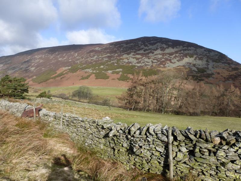
Carrock Fell & High Pike from the Caldbeck Road near Stone Ends
Carrock Fell & High Pike from the Caldbeck Road near Stone Ends
Start/Finish
On the minor road to Caldbeck about 200 m past the track for Stone Ends Farm. About here there are lots of small boulders, especially on the left, W, of the road but also plenty of firm grassy areas to park on. From the A66 Keswick to Penrith road, the minor road for Caldbeck and Mungrisdale is about 7 miles East of Keswick and about 10 miles west of Penrith. From the A66, drive north through Mungrisdale and Mosedale. The start is just over a mile north of Mosedale.
Distance/Time
9 km About 3 – 4 hours
Peaks
Carrock Fell, 660 m, NY 342 336.
High Pike, 658 m, NY 319 350. OS 1:50 000, Sheet 90. OL5 North Eastern Lakes
Introduction
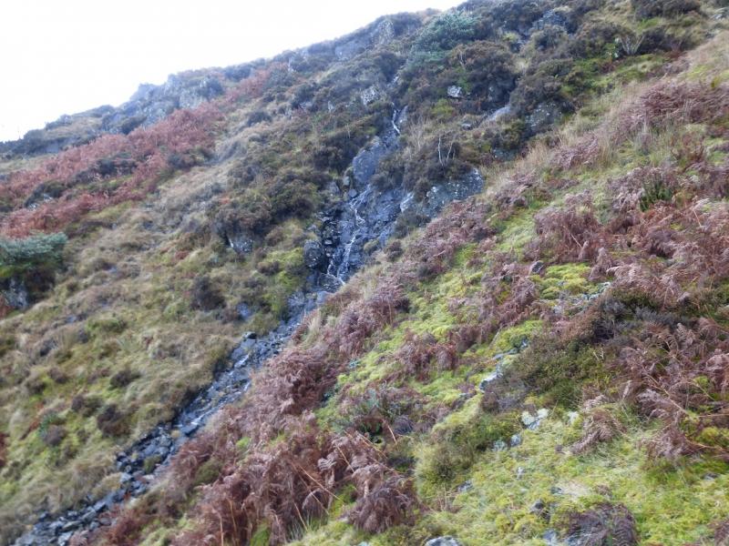
This is a fine walk and has excellent views on a clear day especially to Blencathra, Skiddaw and Knott. If it is very clear, Cross Fell and the Solway Firth will also be seen. Apart from the ascent of Carrock Fell, most of the walk is on high moorland which, apart from the odd wet section, is pleasant to walk. Navigation is relatively straightforward even in mist as there are paths all the way, you just have to make sure you are on the correct one!
Route
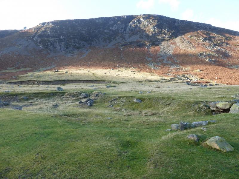
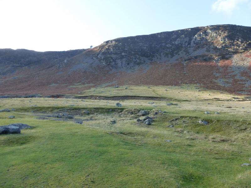
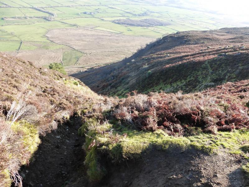
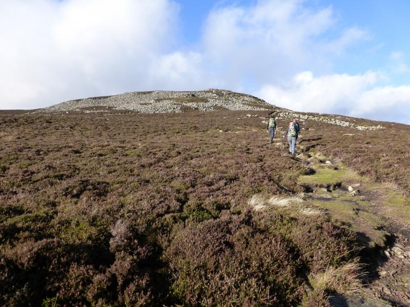
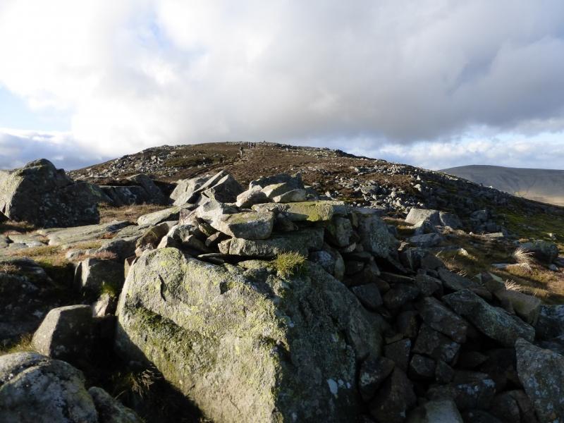
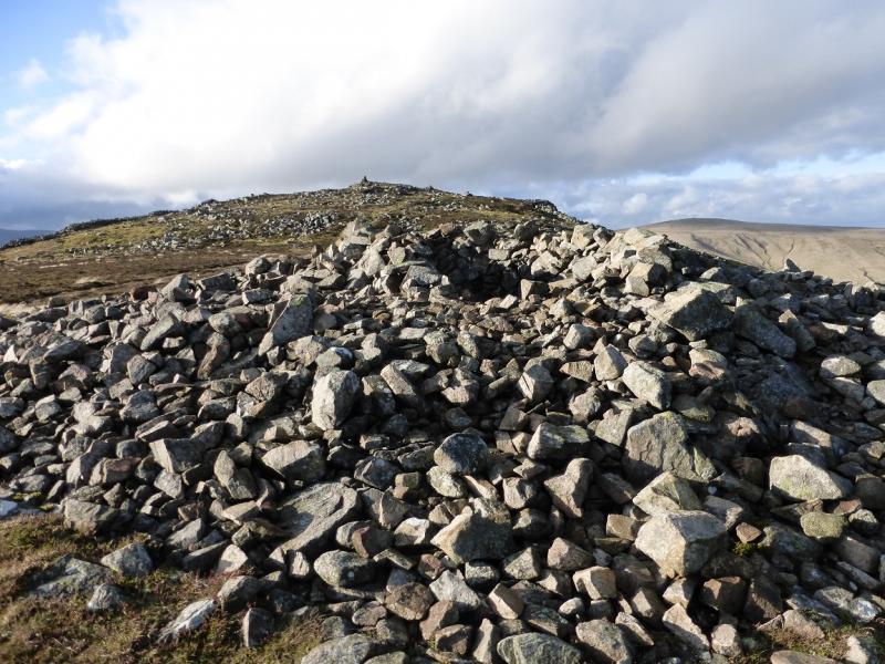
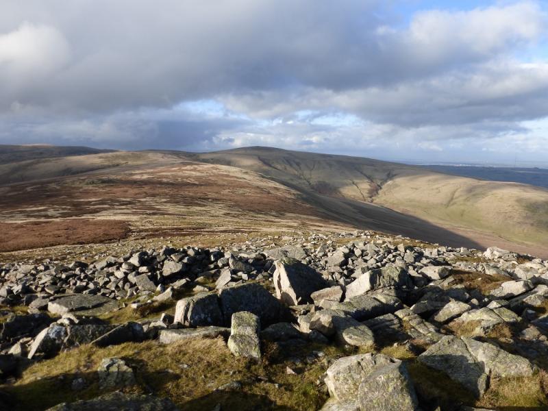
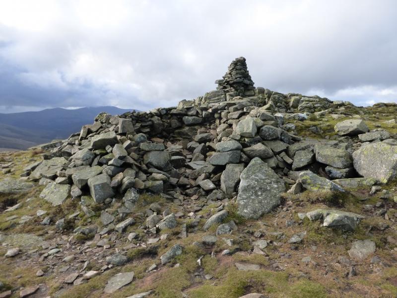
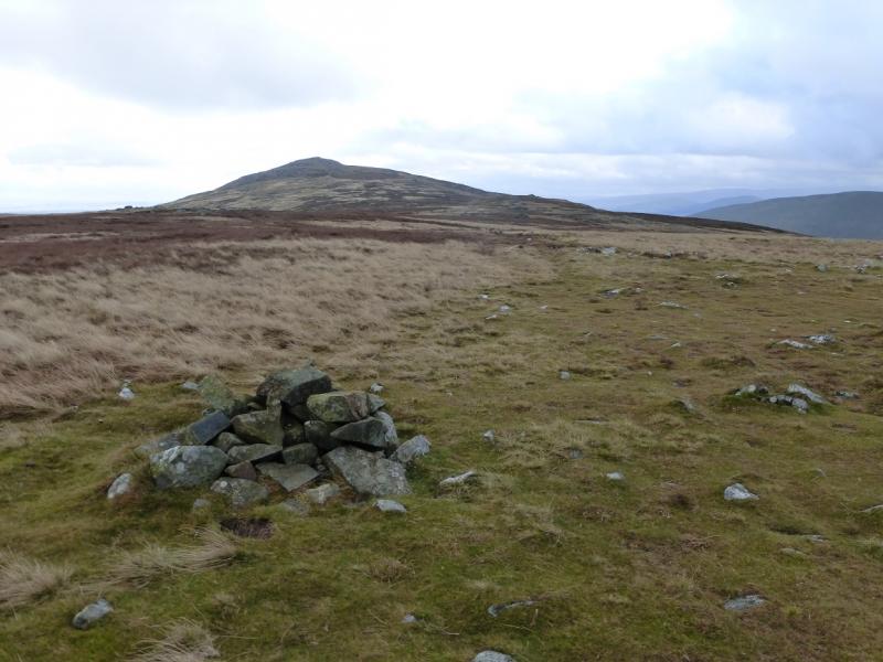
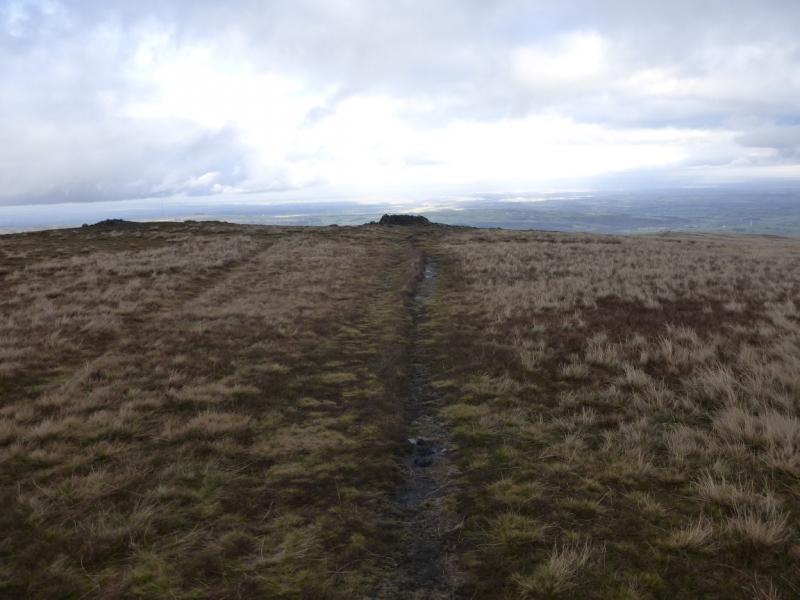
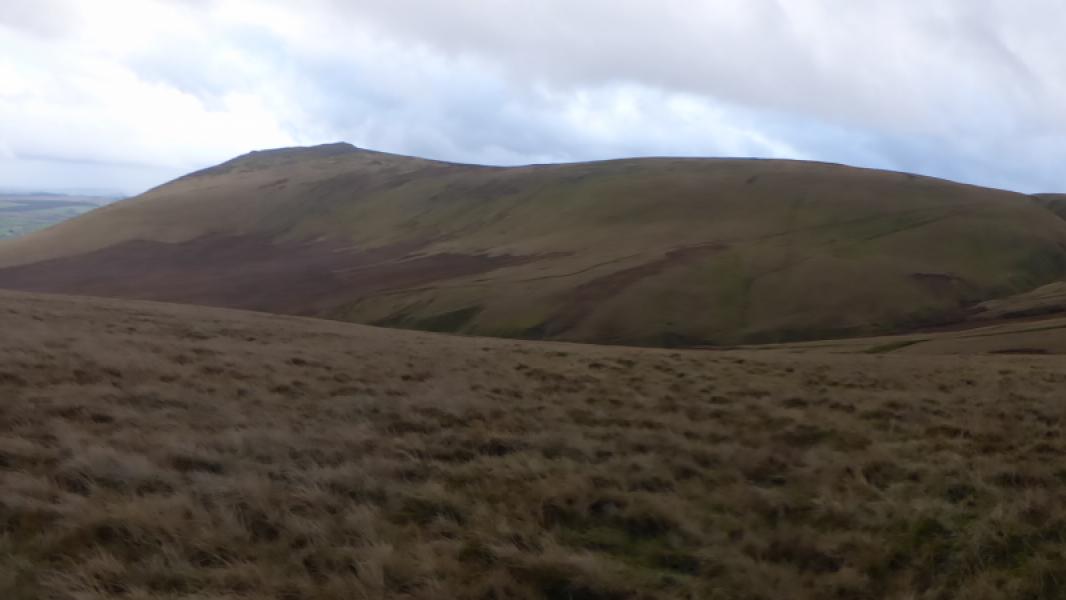
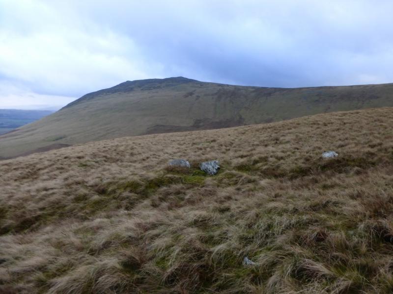
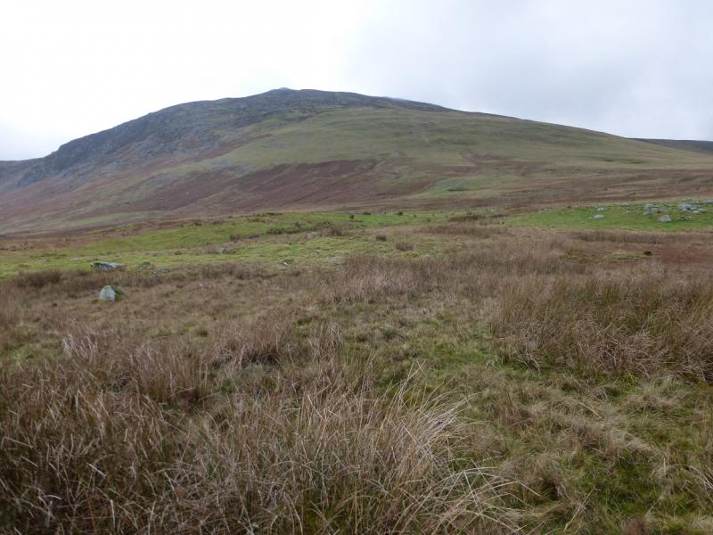
(1) From the start, the path is fairly obvious, slanting up and left across the hill. Follow it to Further Gill Sike then ascend the path, steep in places, to the top of the gully. Once less steep ground is reached, the path heads roughly W and soon reaches the small cairn of the E Top which is just to the right of the path. Continue, past a shelter cairn, and soon reach the tall pointed cairn which marks the summit of Carrock Fell, 660 m.
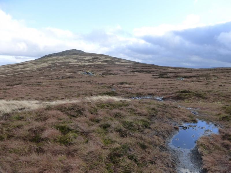
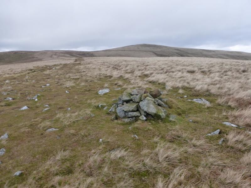
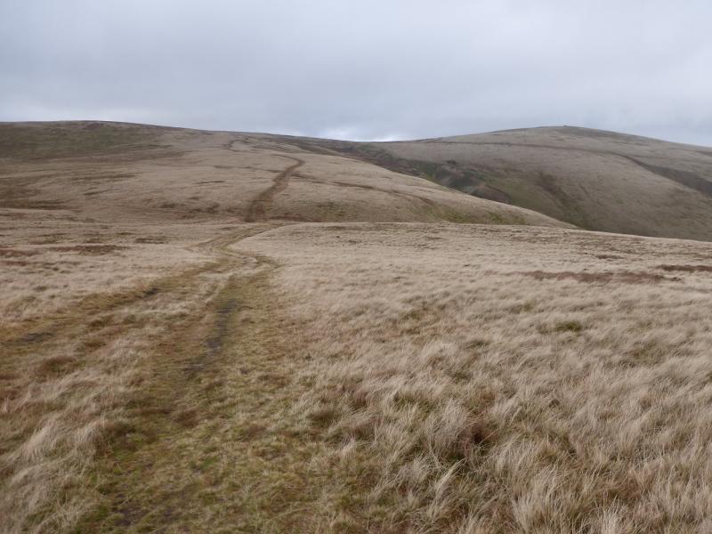
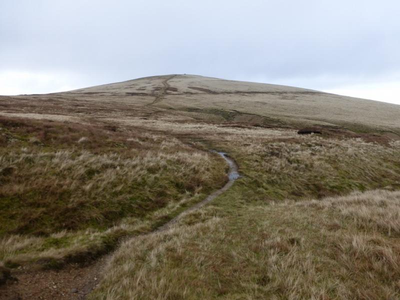
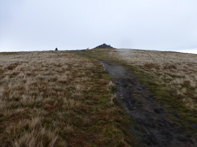
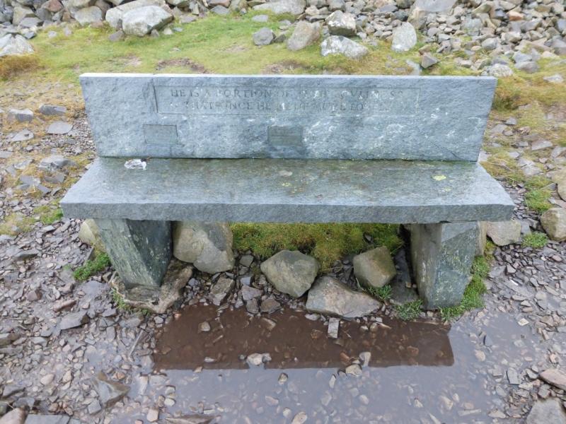
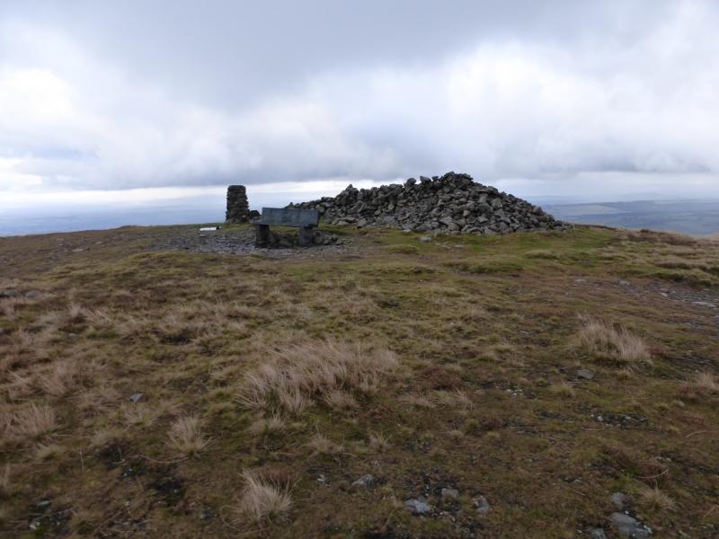
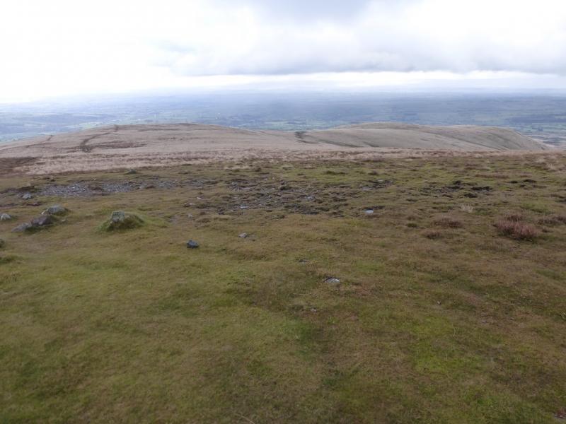
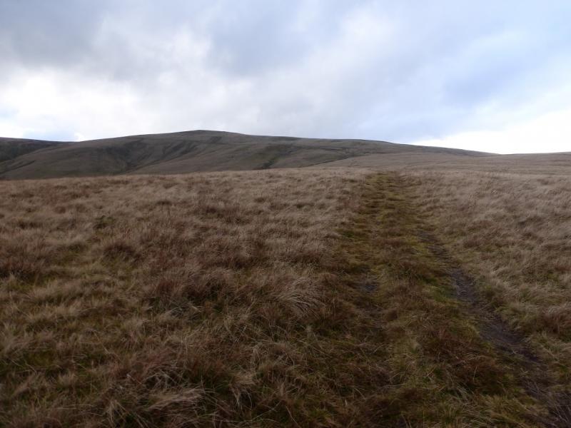
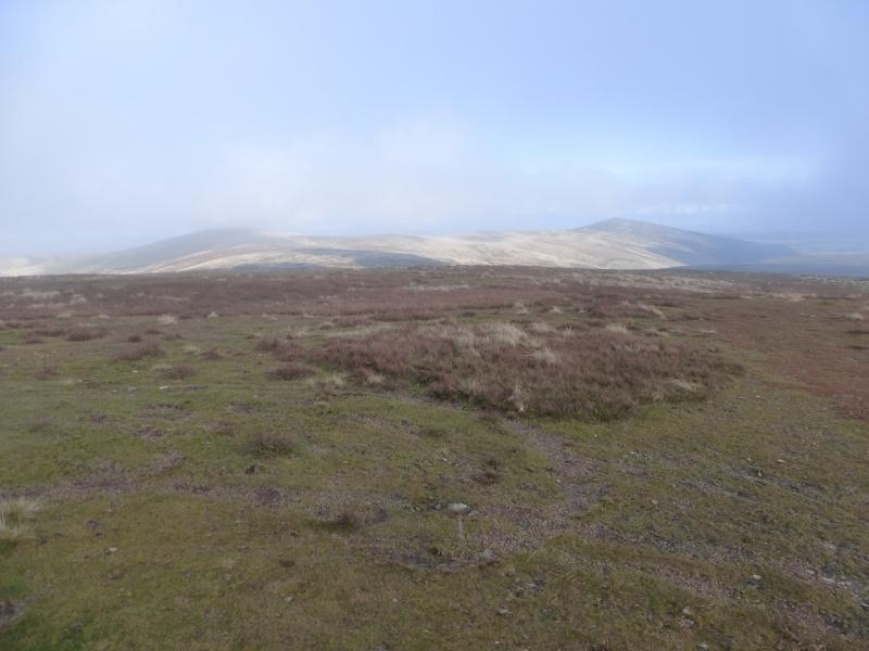
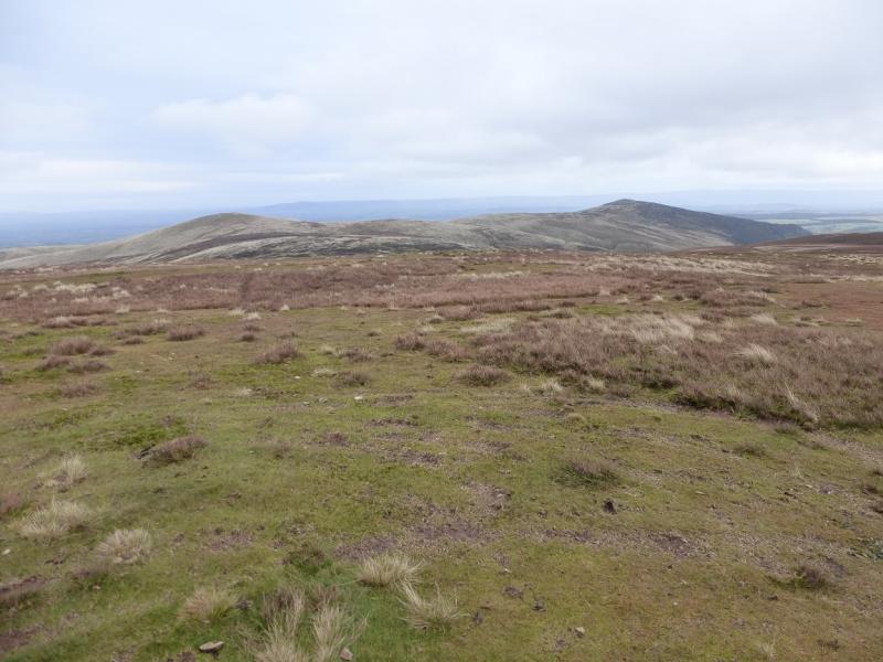
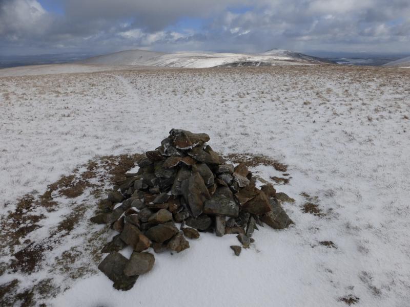
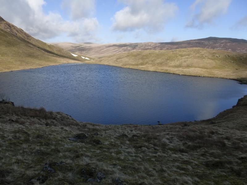
(2) In clear weather, the continuation to High Pike will be obvious. Descend, roughly W but detour slightly to the N initially where the ground is less rocky. Soon reach a long grassy moorland ridge and follow the path roughly W. There is the odd mossy and wet section but these can be avoided. After about 2 km, before Hare Stones, the main path drifts right and ascends the SSW ridge of High Pike. A gravel bridleway is crossed then the path leads easily to a trig point, large shelter cairn and stone seat which is the summit of High Pike, 658 m.
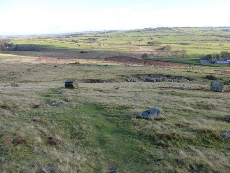
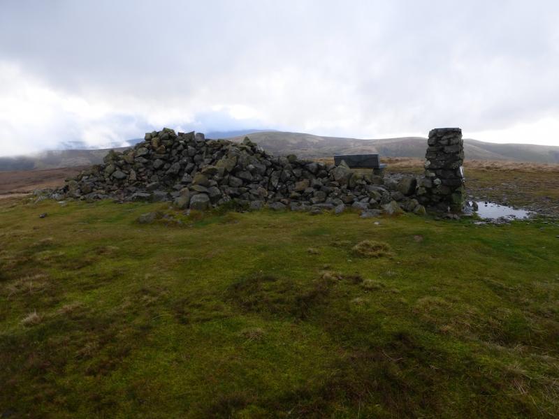
(3) Continue N to another large shelter cairn then follow the grassy path down the NNE ridge until another path forks right and leads towards the W ridge, crossing the gravel bridleway lower down. Walk along the W ridge on a grassy path, almost a track. There is a choice of paths but the best one seems just to the S, right, of the crest. Follow the track/path down. At any junction, fork right and eventually reach the track to the N of Carrock Beck. Follow this to the road then walk along the quiet moorland road S under Carrock Fell. At one point a track cuts a corner on the road.
Notes
(a) This walk took place on 22nd November, 2014.
Photos - Hover over photo for caption. Click on to enlarge. Click on again to reduce.