Get Lost Mountaineering
You are here: Scotland » 04 Loch Leven and Loch Linnhe to Loch Ericht » Ben Nevis to Loch Trieg
Meall an t-Suidhe Traverse from Old Inverlochy Castle
Meall an t-Suidhe Traverse from Old Inverlochy Castle
Start/Finish
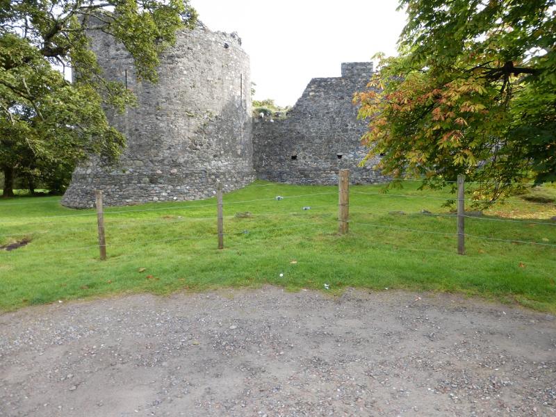
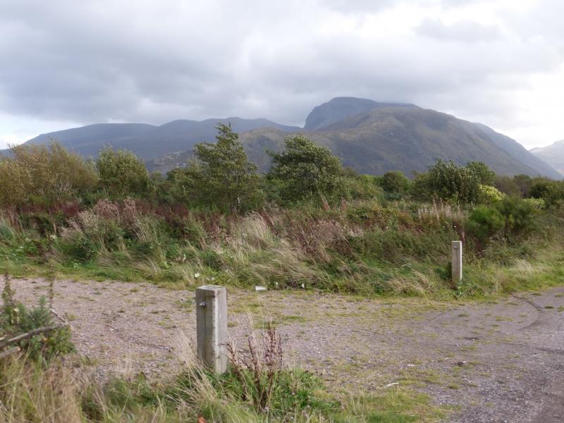
Car park at Old Inverlochy Castle which is on a minor road almost opposite the Esso garage just south of the roundabout junction where the Mallaig road leaves the A82 Fort William to Inverness road. Go up this minor road then turn right across a wooden bridge and park by the castle. The bridge is over the tail race – the spent water from the aluminium works.
Distance/Time
12 km. About 5 - 6 hours
Peaks
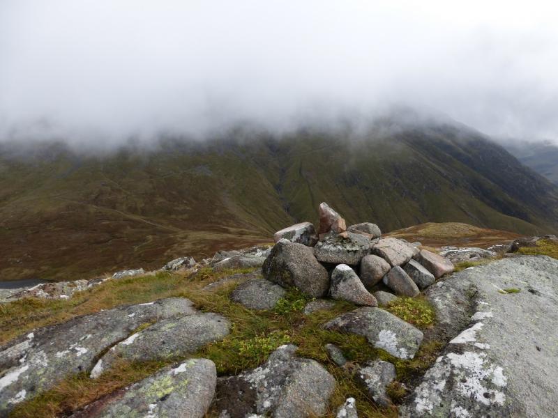
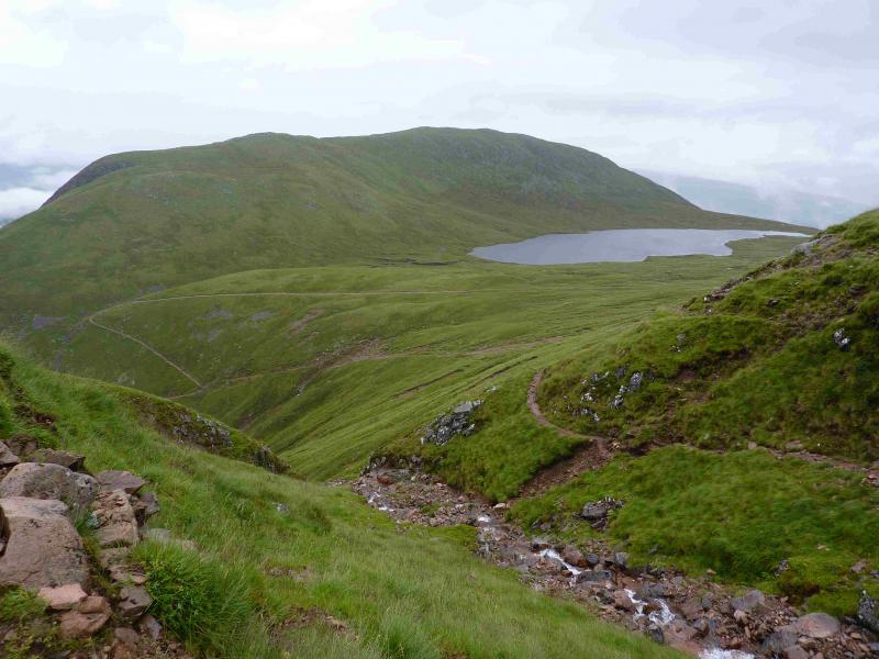
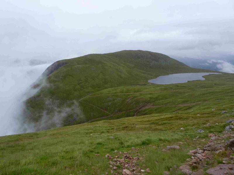
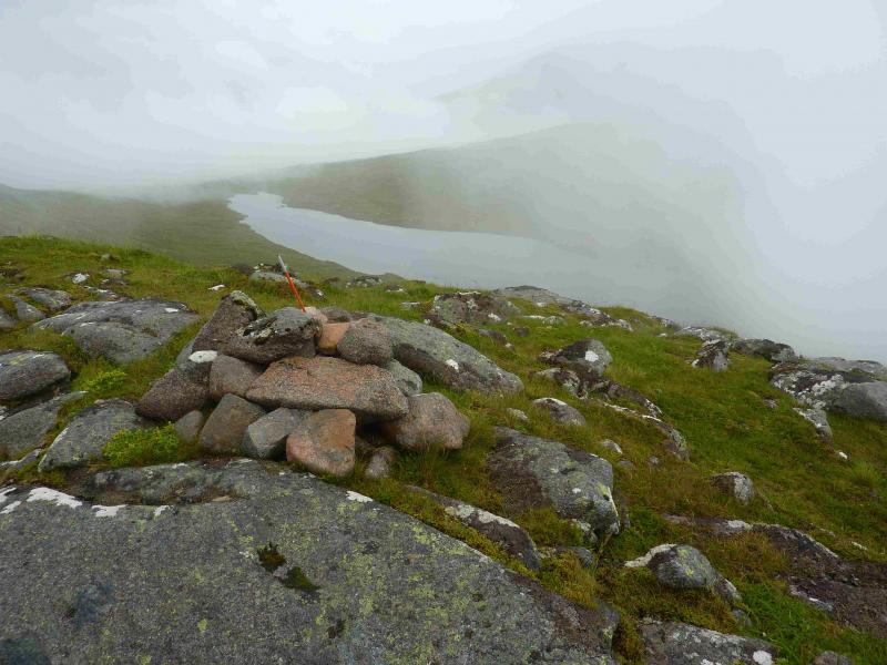
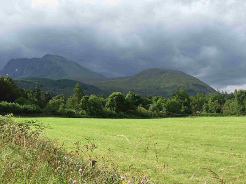
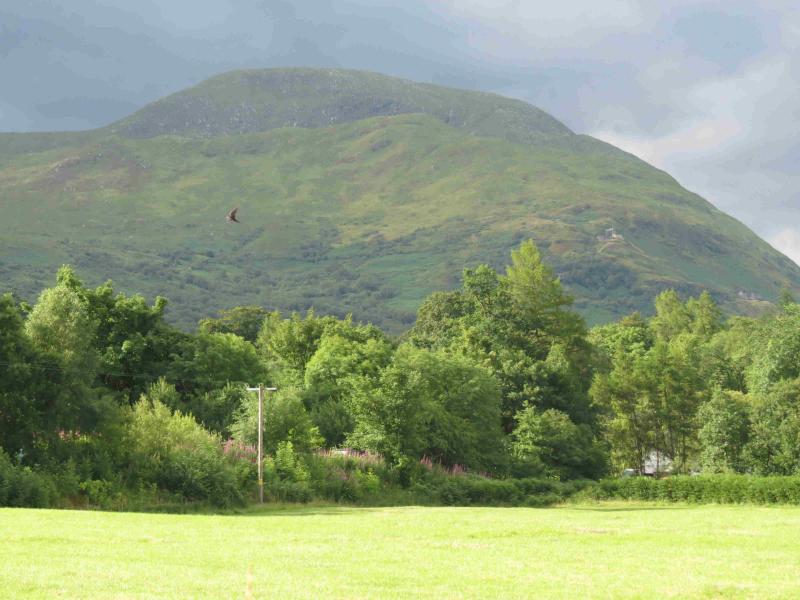
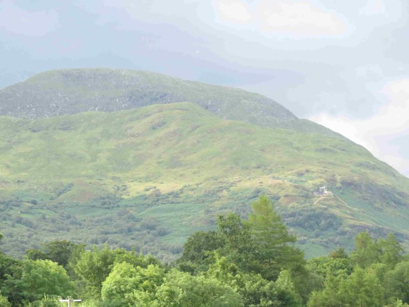
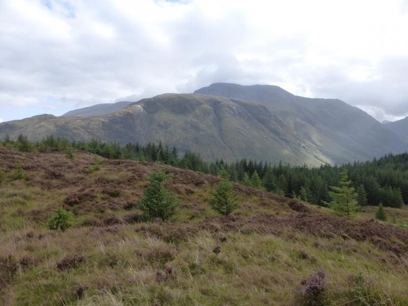
Meall an t-Suidhe, 711 m, NN 139 729. OS sheet 41.
Introduction
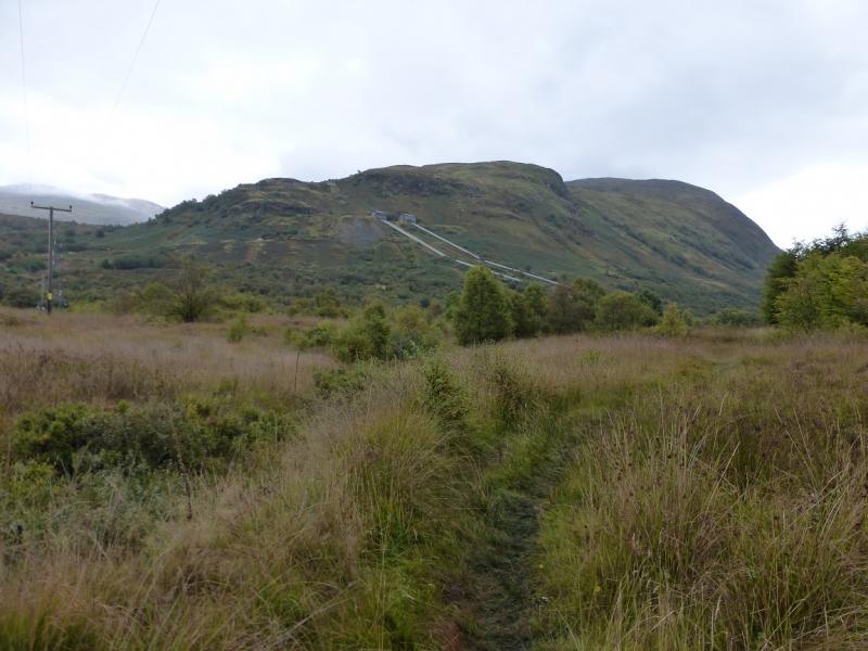
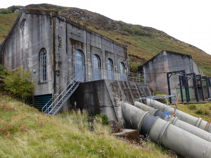
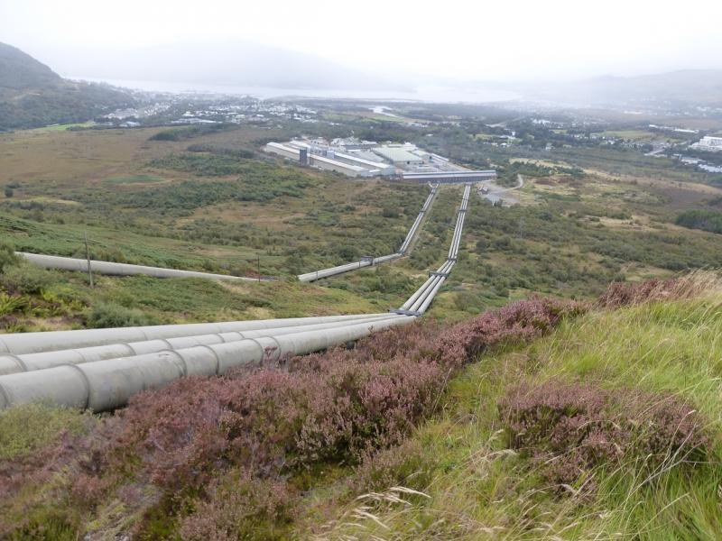
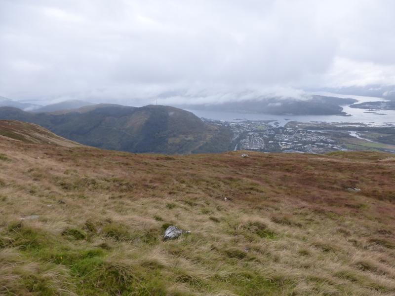
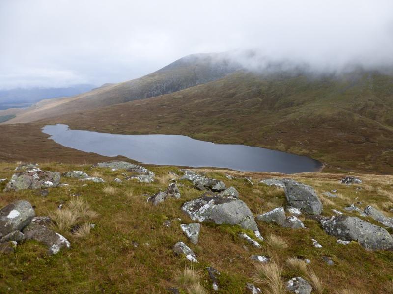
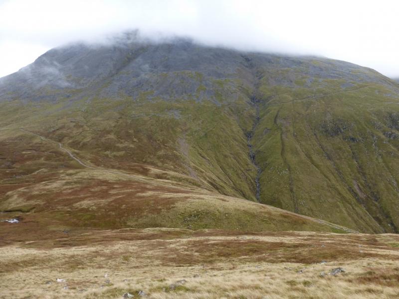
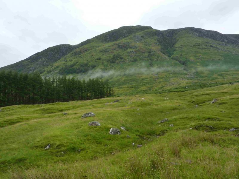
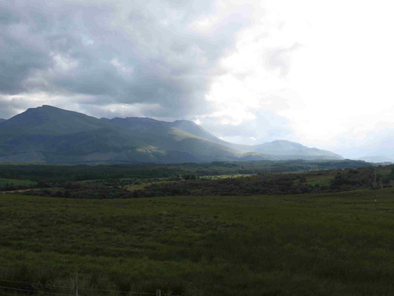
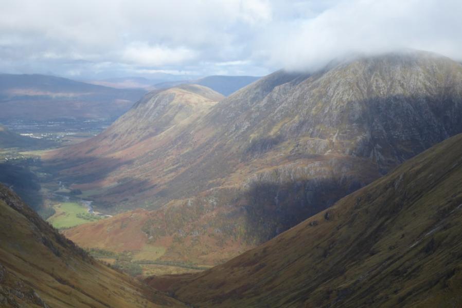
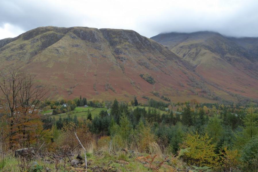
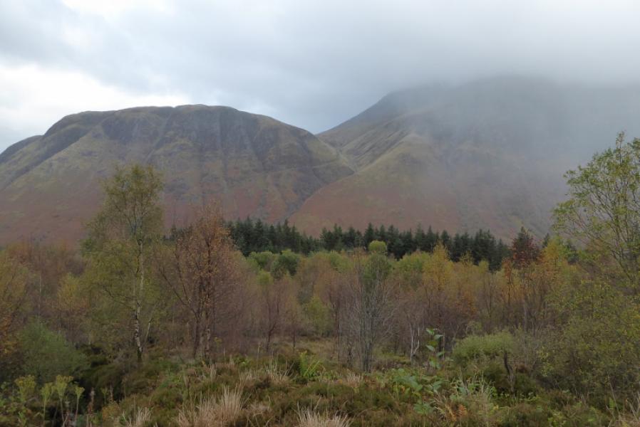
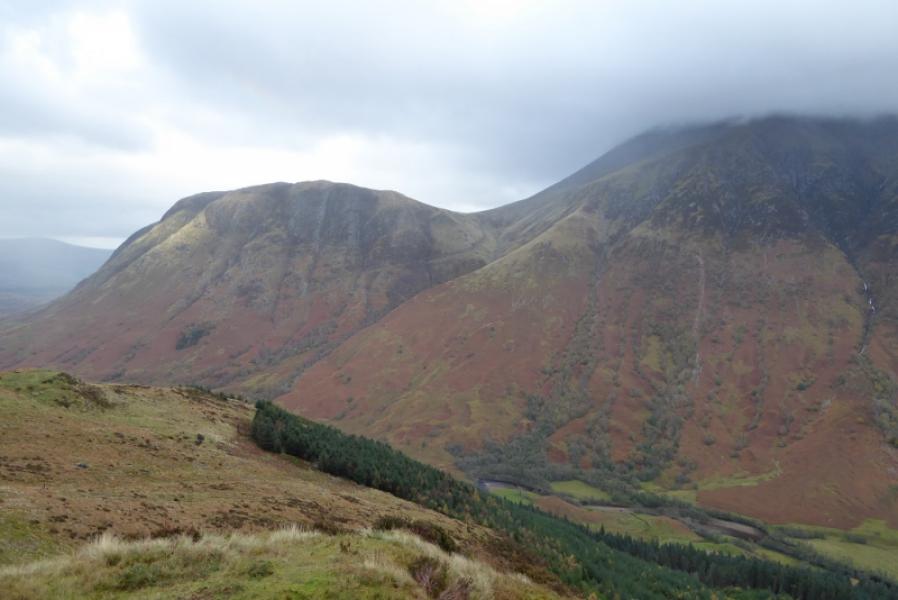
Few ascend to this summit despite its prominence from the A82 and Fort William. From the main road, it stands out because of the water pipes coming down its slopes. These carry water from Loch Trieg, through Ben Nevis, to the Aluminium works below where it generates the hydro-electricity needed for the commercial production of aluminium. Spent water was then passed via a narrow channel, known as a tailrace, to the local wood pulping factory before finally being discharged into Loch Linnhe.It is known locally as “Melantee” and there is a street with this name in Claggan just after the turn off for Achintee. It is an excellent viewpoint, especially looking west. There is little in the way of a path on this top, reinforcing how neglected it is. Meall an t-Suidhe could be included on the descent from Ben Nevis, by the tourist path, adding about 60 to 90 minutes.
Route
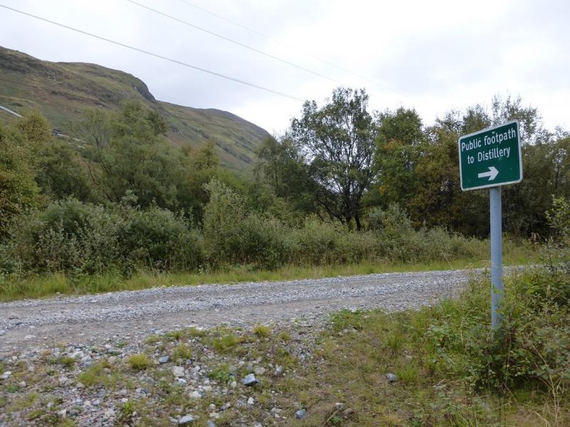
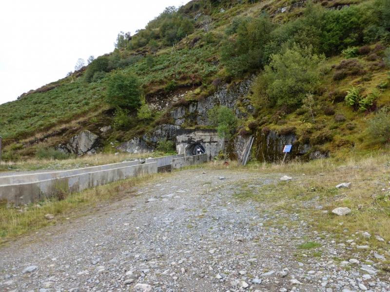
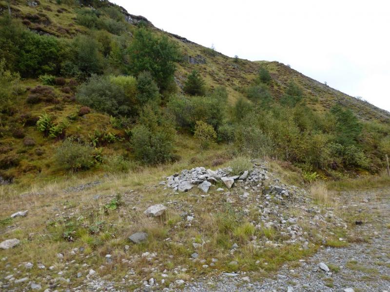
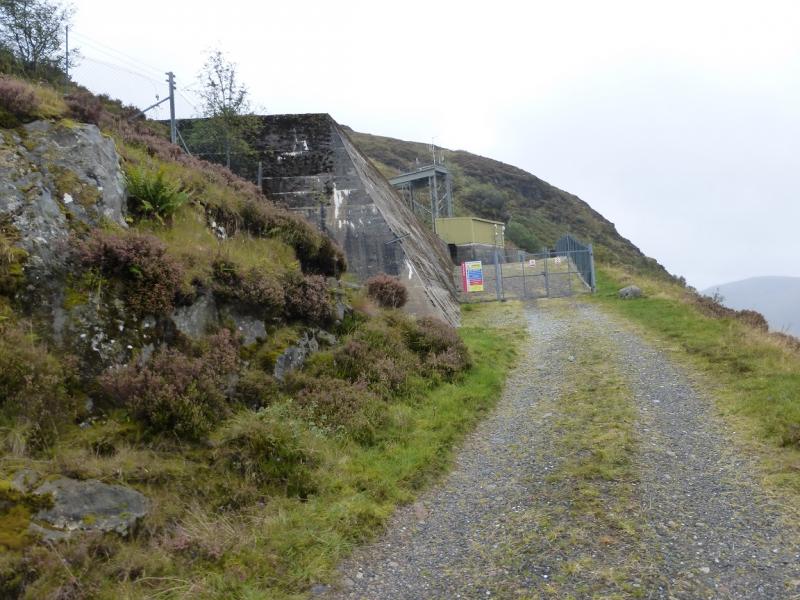
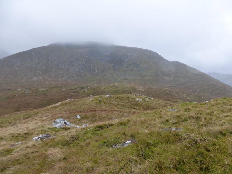
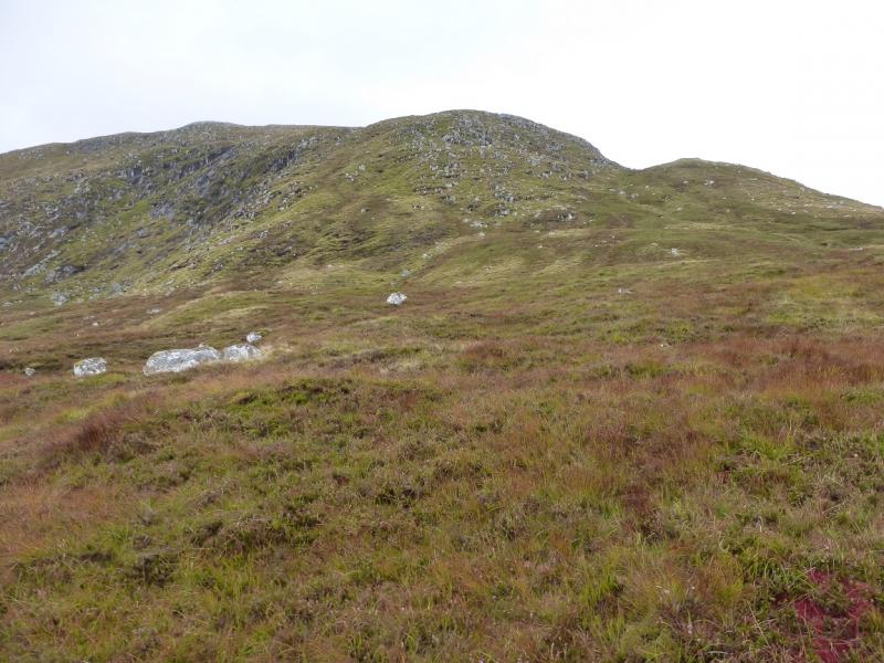
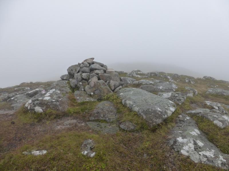
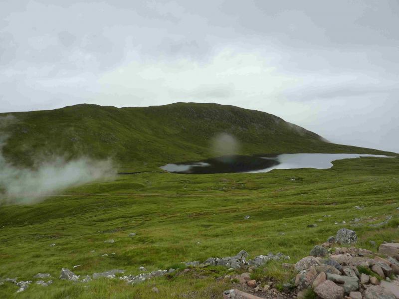
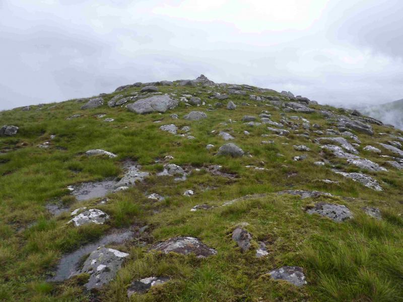
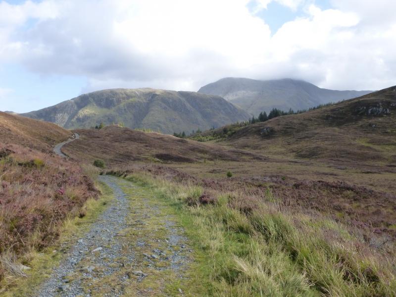
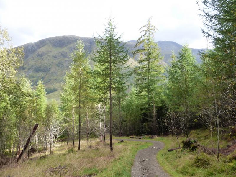
(1) Walk back to the main road then go north (left) to the roundabout. Continue to the Ben Nevis distillery on the right. Go through the gate. Ignore the path and go straight on/slightly left to Duty Warehouse 2. Just before this, a gap leads to a stream but about 10 metres before the stream, a faint path goes up the left side of the warehouse. Follow this path which soon becomes more obvious. The path reaches a track. Turn left on to the track and continue up to the first right turn. Follow this to a gated tunnel entrance. Go past this then pick a way up the steep grassy slopes just beyond. Slightly easier ground lies to the right on the steep ascent but the steepness is short lived. Continue up to reach a path which leads to the buildings at the top of the pipelines. Just before these, a roped fence and path leads up towards the highest building known as the surge chamber. This is fenced off and it is very dangerous ground inside the fence. Go up the left side of the fence then pick a way, roughly S, up grassy ridges. Occasionally, there may be a hint of a path. Continue up and eventually reach a top with a medium cairn which marks the summit of Meall an t-Suidhe, 711 m.
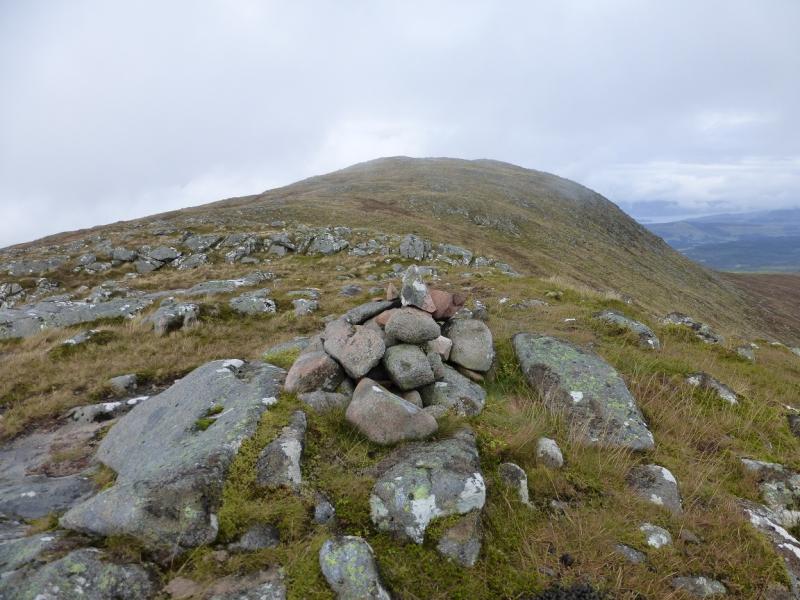
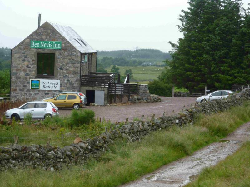
(2) There is a faint path descending S from the summit along the broad grassy crest but it soon becomes difficult to follow. Continue along the crest to reach another cairn on a lower top. The crest now curves around towards the SSE. Follow it down towards the obvious tourist path on Ben Nevis. There is a grassy groove just before the path is joined. Follow the path down, ignoring any paths going off to the left, to reach the Ben Nevis Inn. Walk down the road to the A82, about 2 km. Turn N and walk towards the Esso garage and the start.
Notes
(a) This walk took place on 23rd September, 2014.
Photos - Hover over photo for caption. Click on to enlarge. Click on again to reduce.