Get Lost Mountaineering
You are here: Scotland » 04 Loch Leven and Loch Linnhe to Loch Ericht » Ben Nevis to Loch Trieg
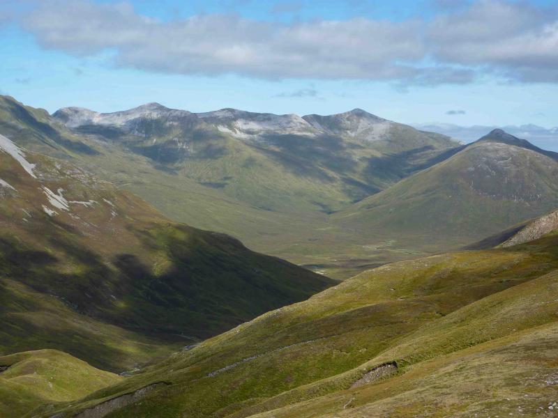
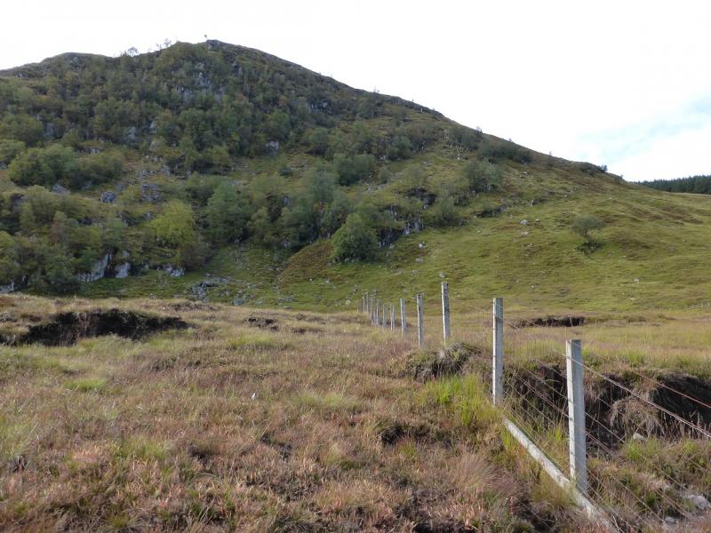
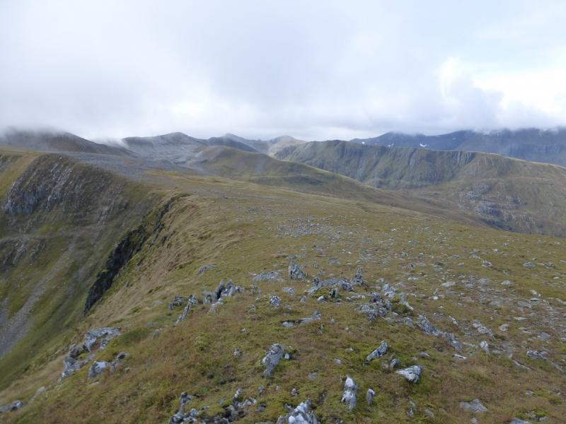
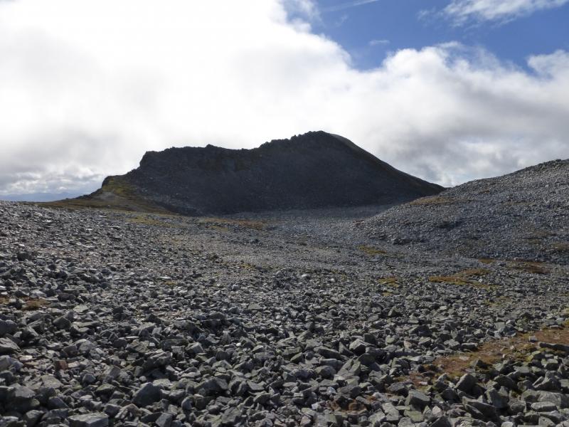
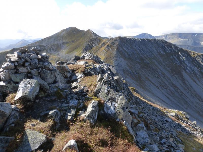
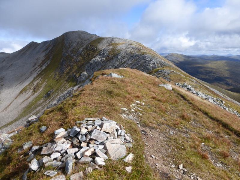
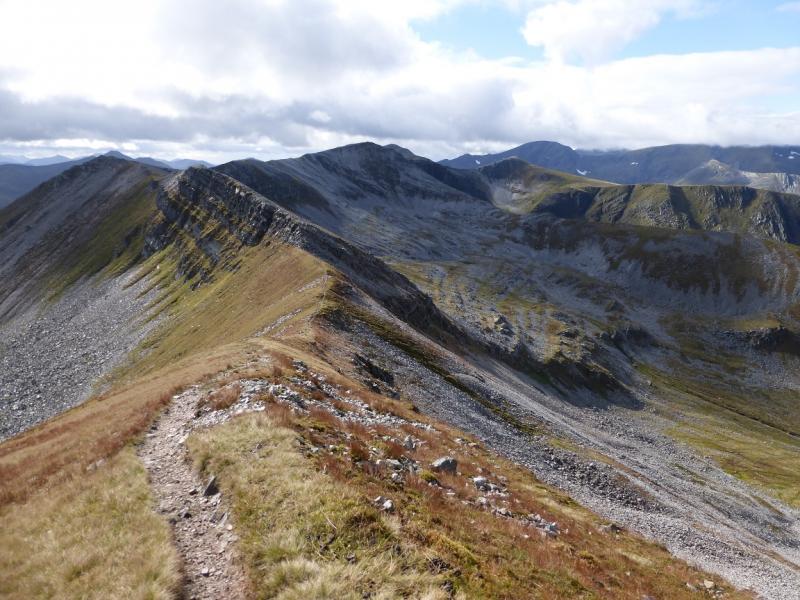
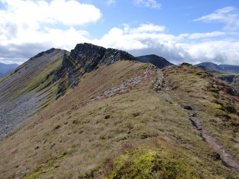
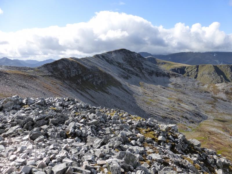
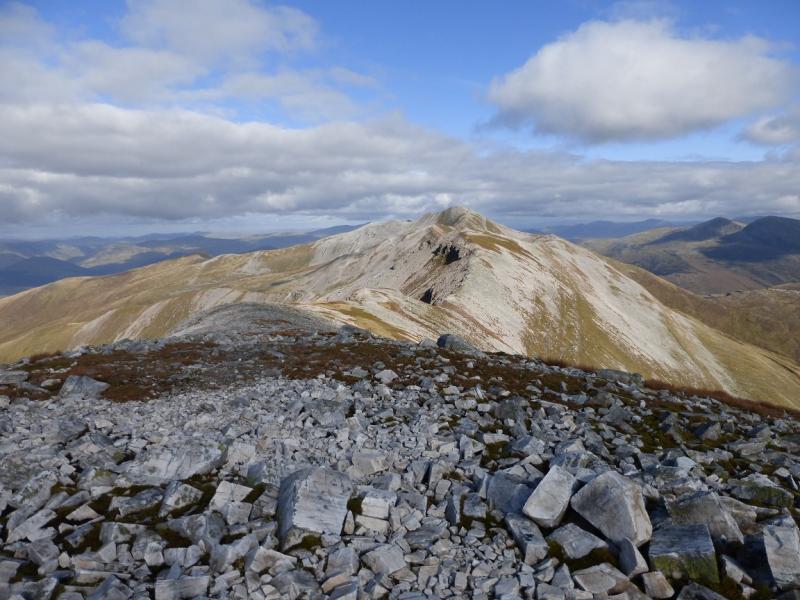
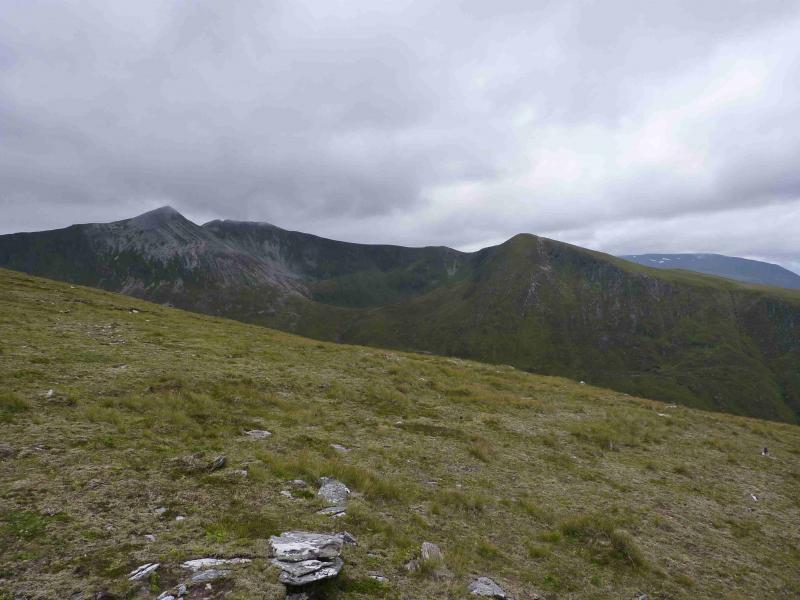
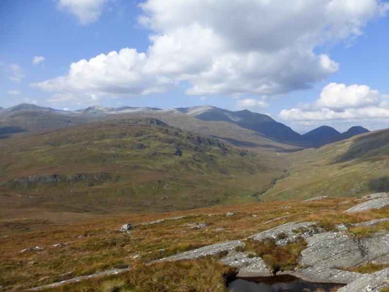
Grey Corries from above Corriechoille
Grey Corries from above Corriechoille
Start/Finish
From Spean Bridge, take the minor road, signposted Station and Corriechoille which starts just to the S of the Spean Bridge Hotel. Follow the road until Corriechoille Lodge is signposted uphill on a gravel track. Go past the lodge and continue up the very rough gravel track for nearly 2 miles to a parking spot just opposite a track going off to the right. The gravel track is private but has been used by walkers for years without restriction. There is one unlocked gate to pass through on the track but do drive slowly as the track is quite rough. Parking is limited here but there is some down the track on the right before a locked gate is reached at the edge of the forest. It is possible to park higher up the track but here is best as you will return along the track on the right.
Distance/Time
22 km. About 7 - 8 hours
Peaks
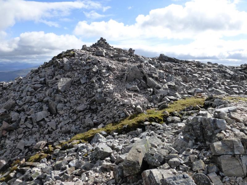
Stob Coire na Gaibre, 958 m, NN 261 757.
Stob Coire na Ceannain, 1123 m, NN 267 745.
Stob Choire Claurigh, 1177 m, NN 262 738.
Stob Choire a' Leith, 1105 m, NN 256 736.
Stob Coire Cath na Sine, 1079 m, NN 252 730.
Caisteal, 1106 m, NN 246 729.
Stob Coire an Laoigh, 1116 m, NN 239 725.
Stob Coire Easain, 1080 m, NN 234 727.
Beinn na Socaich, 1007 m, NN 236 734. OS Sheet 41.
Introduction
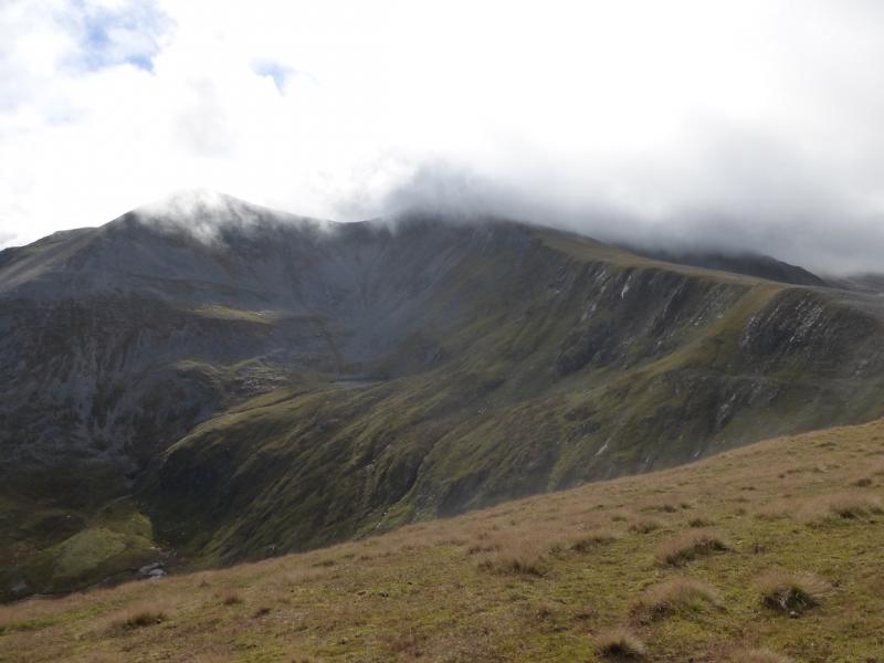
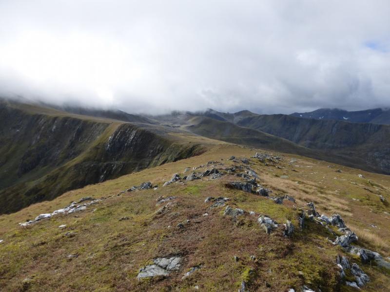
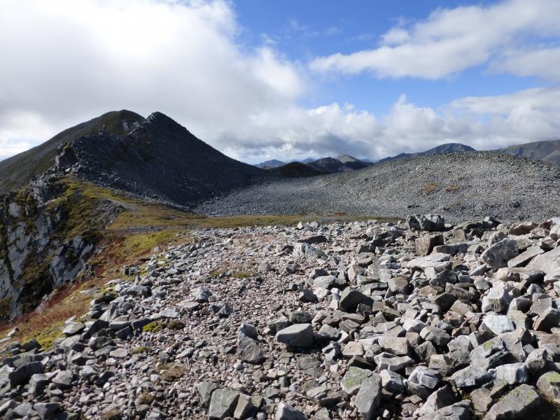
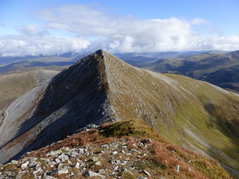
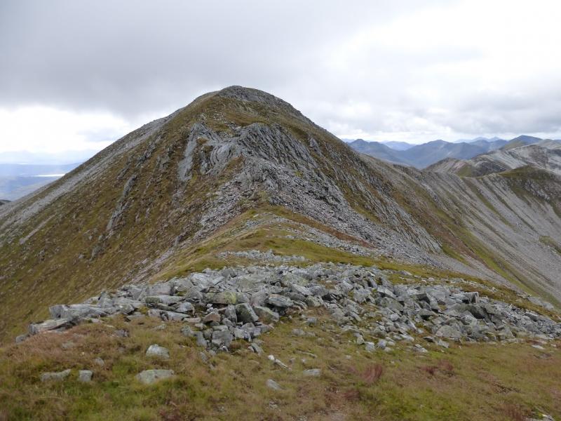
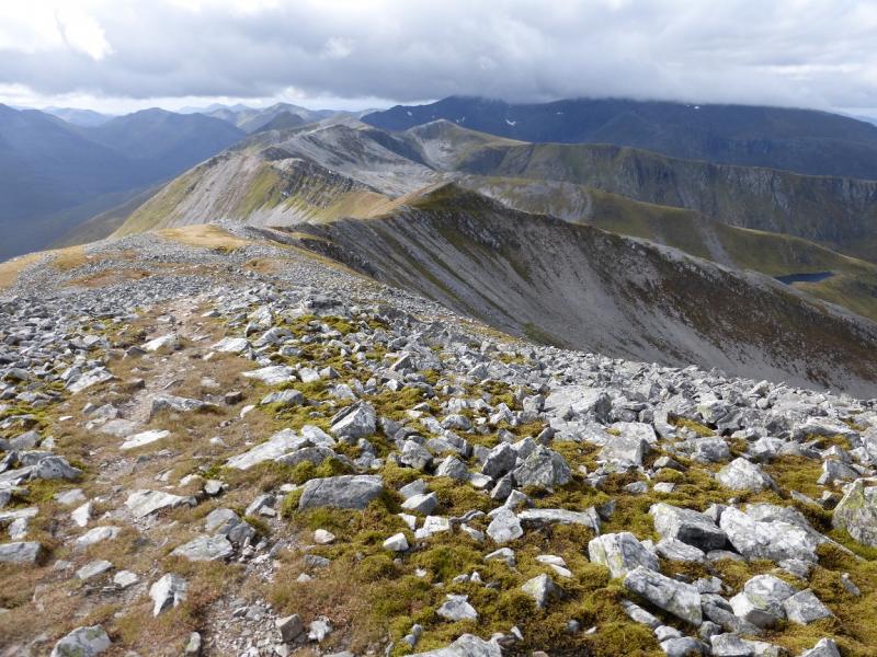
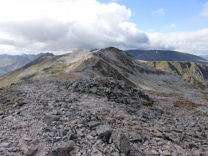
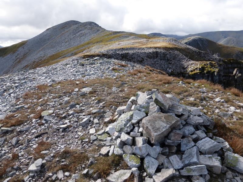
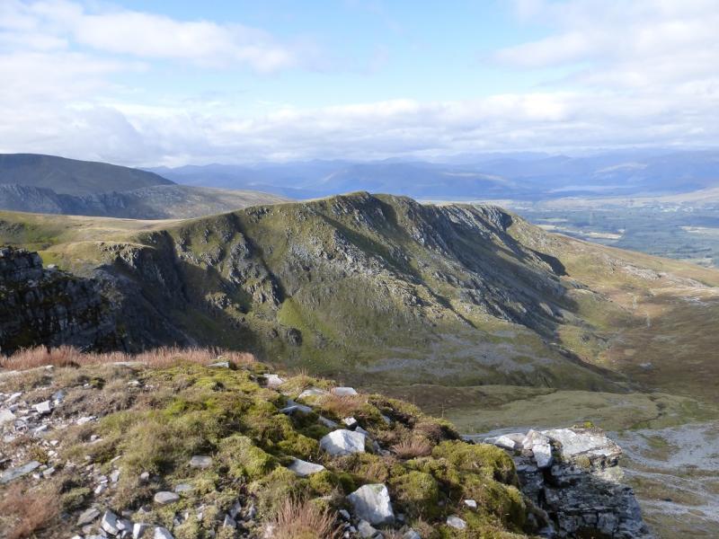
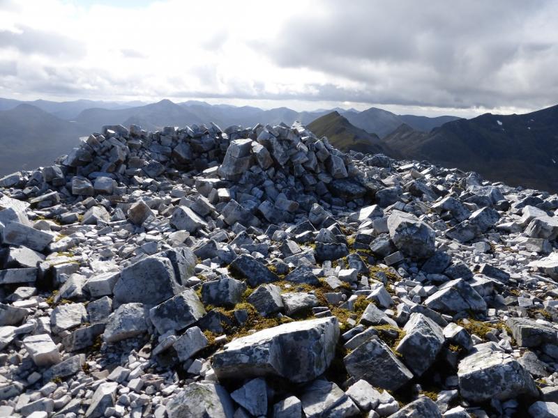
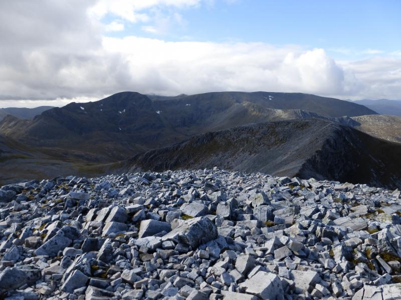
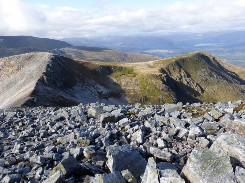
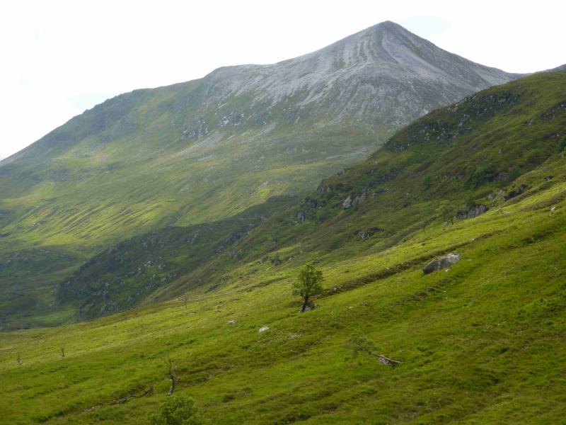
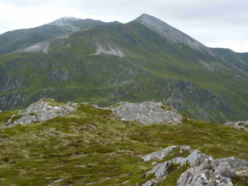
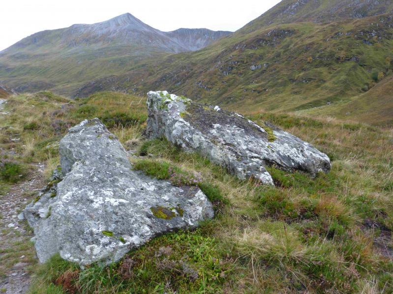
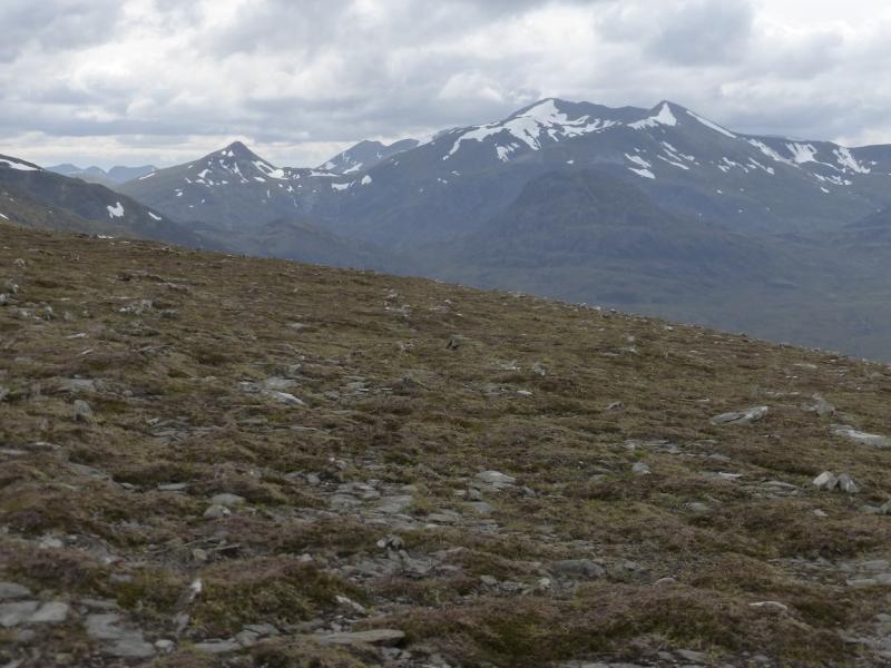
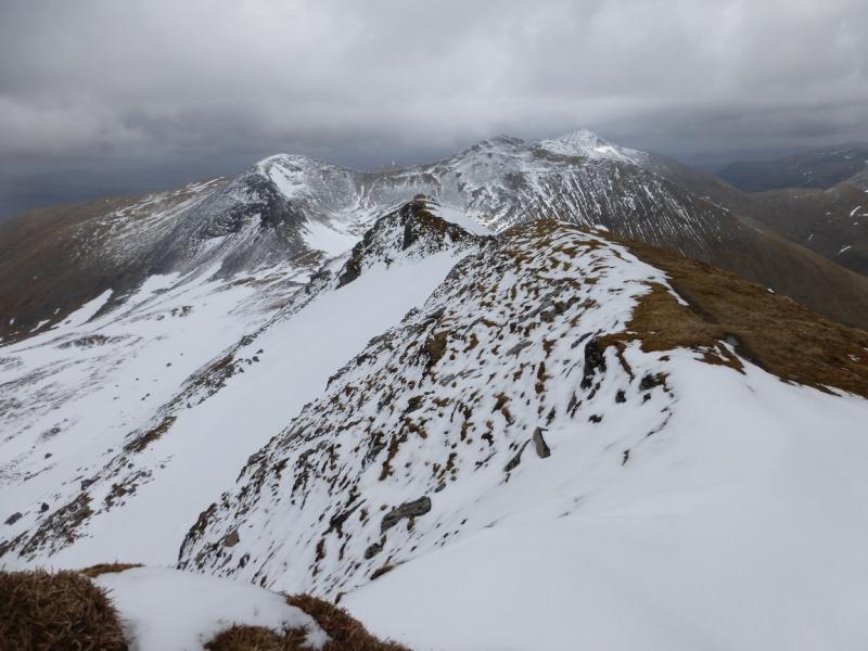
This is one of the classic rounds in the Scottish Highlands and should be everyone's “must do” list irrespective of whether you are attempting all the Munros. It is long and strenuous to get to the crest and equally so on the return but once on the stony crest, the walking is delightful and easy in summer. It only takes 1 – 2 hours from Stob Choire Claurigh to Stob Coire Easain. The only peak which is off the circuit is Stob Coire na Ceannain which is accessed by a ridge running east from high up Stob Choire Claurigh's north ridge. The diversion has to be reversed but is well worth the trouble and takes 30 – 40 minutes. Stob Ban to the south of Stob Choire Claurigh is strictly part of The Grey Corries but is not included in this route. To include it would mean losing a lot of height from Stob Choire Claurigh then having to regain that height; it would add about 2 hours and a lot of extra effort. Stob Ban is posted as a separate walk in its own right. Irrespective of the views of the surrounding hills which include the Innses, Easains, Choinnichs, Aonach Beag and Aonach Mor, the views along the Grey Corries crest are magnificent so save this walk for a crystal clear day and you will not be disappointed. In wet weather, the crossing of the Allt Choimhlidh on the return from Beinn na Socaich can be deep and difficult.
Route
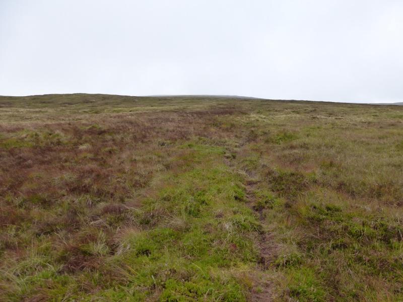
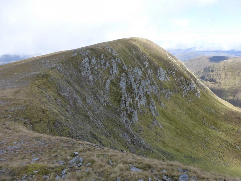
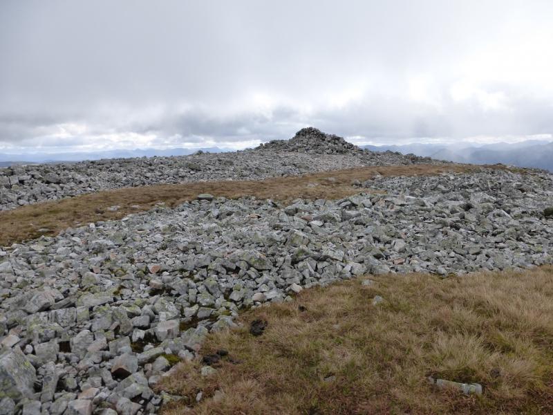
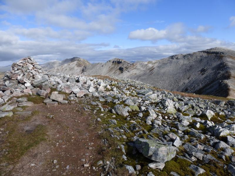
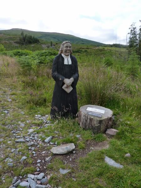
(1) Continue up the track, passing a statue of a minister, until you emerge from a short section of forest. Walk up the edge of the forest on the right, W/SW, until you can ascend in a more southerly direction to gain the foot of the ridge leading up towards Stob Coire na Gaibre. There is little in the way of paths lower down and a low fence has to be crossed. In places, the slopes are steep and rough but grassy and one can weave around to find easier sections. As height is gained, you are more likely to find a path especially if you drift W but most paths eventually end up going too far to the W and need to be left to stay on the broad crest. It is best to get to the eastern edge of the ridge as soon as possible and follow this up. It becomes much better defined with height. The higher you go the more chance there is of there being a distinctive path. Continue up to reach a top with a medium cairn which is Stob Coire na Gaibre, 958 m.
(2) If clear the route ahead is obvious with both Stob Coire na Ceannain and Stob Choire Claurigh being visible. The path is distinctive from here on. And there is an edge to your left. Descend SSW to a shallow bealach then follow the path by the edge S then SSE up moderately steep and rocky but easy slopes to reach a top (no name) with a cairn on it. A narrow but easy ridge, with a path, goes roughly E from here to a dip then ascends to reach a small cairn which is the top of Stob Coire na Ceannain, 1123 m.
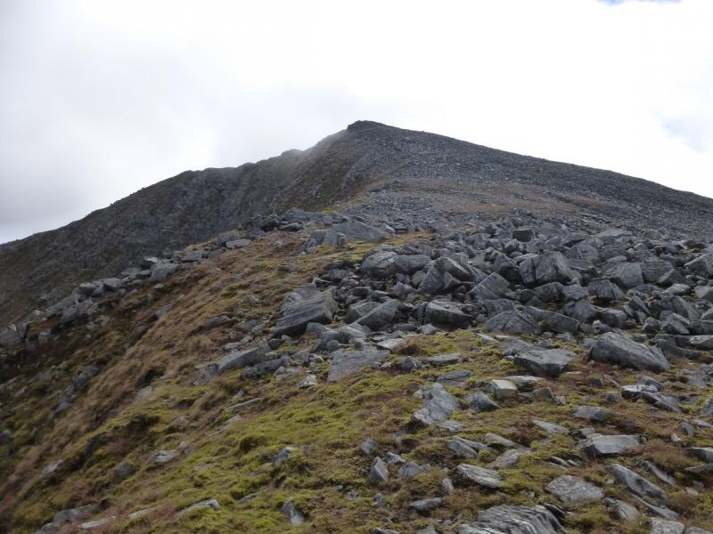
(3) Retrace to the cairn on the N ridge of Stob Choire Claurigh, turn left and ascend the well defined ridge, with a path, roughly S to reach a large cairn which is the summit of Stob Choire Claurigh, 1177 m. The view W along the zig zagging crest is one of the best in Scotland.
(4) Descend SW, on a path which goes all the way to Stob Coire Easain. Reach a dip then ascend W to a small cairn which is the top of Stob Choire a' Leith, 1105 m.
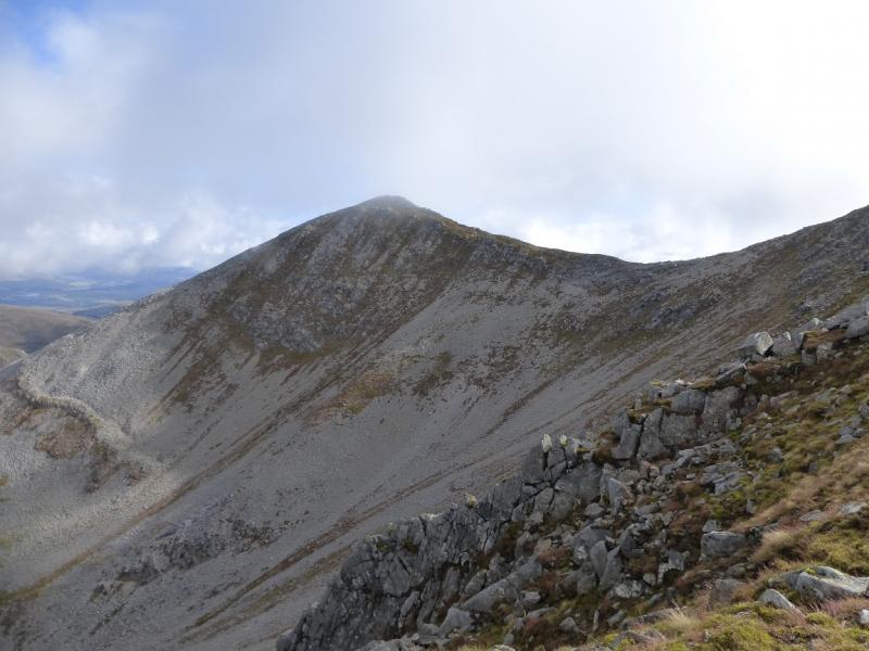
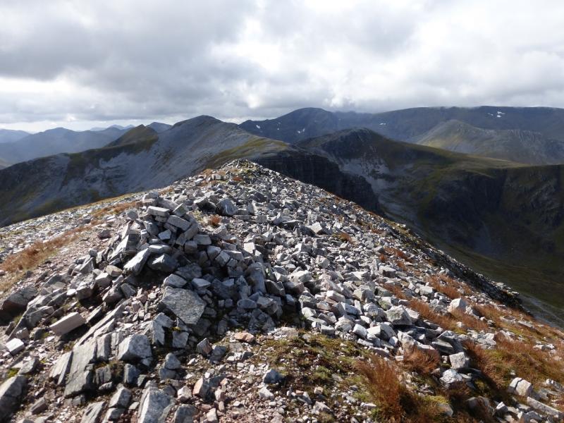
(5) Continue along the obvious crest which descends roughly SW to a bealach then ascends to reach a medium cairn which is the summit of Stob Coire Cath na Sine, 1079 m.
(6) Continue roughly W along the crest, descending to a dip then ascending up to a medium cairn which is Caisteal, 1106 m.
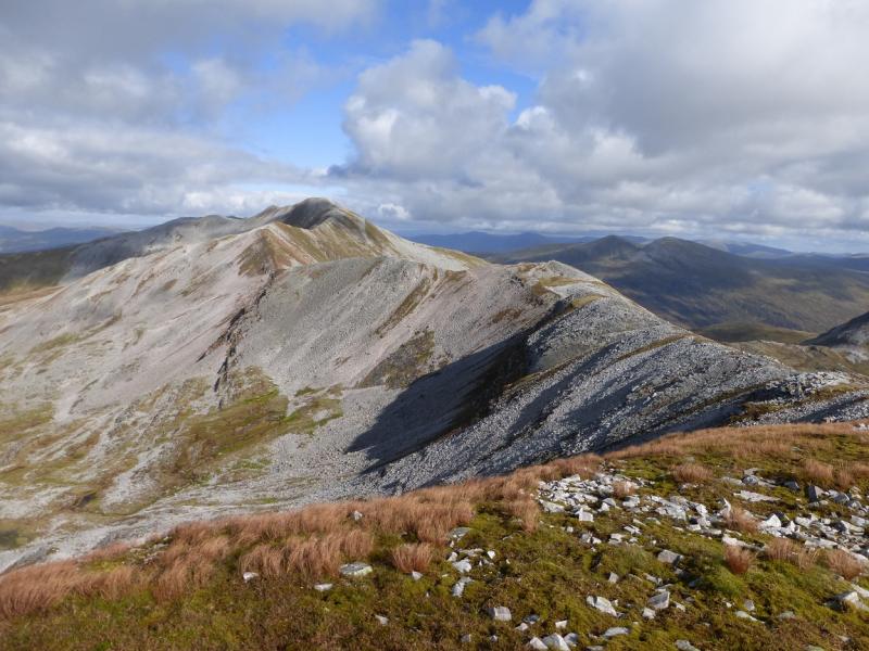
(7) Descend going roughly WSW then ascend SW to the large shelter cairn which is the summit of Stob Coire an Laoigh, 1116 m.
(8) Descend WNW to a bealach then continue up to reach a medium cairn which is the top of Stob Coire Easain, 1080 m.
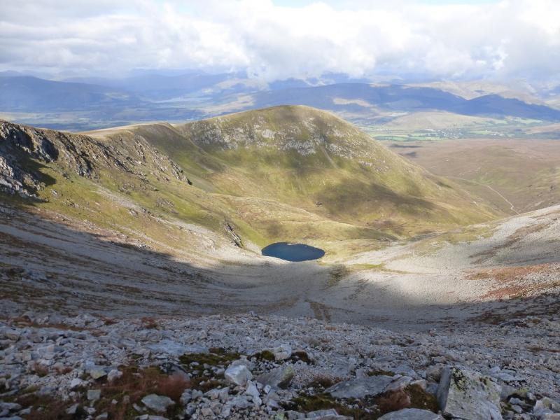
(9) Descend N with the edge on your right. The stony ground soon becomes grassy and a shallow dip is reached. Continue, ascending an easy grassy crest to reach a small cairn which is the top of Beinn na Socaich, 1007 m.
(10) It is a long way back from here but the going is mainly grassy on the ridge. Follow the ridge down heading N. There is a path initially but as height is lost it does become fainter. After some distance, a path drifts right and leaves the ridge making a slanting descent slightly E of N. The path gets quite hard to follow lower down but you are heading for where the Allt Choimhlidh enters the forest. This is the main burn in the glen to the E, right, of the ridge. The banks of the burn are steep so take care on the final approach. There is an obvious dam but cross slightly upstream from it. If the burn is swollen, crossing the dam is not an easy option although it may look so from a distance. The top of the dam wall is not flat but curved and slippery and there is a large drop on the downstream side. Once across the burn, pick up a path which crosses a style and a metal “bridge” then soon becomes a track. Follow the track N for about 1.3 km to reach a junction. Turn right and follow the track NE. There is a new track further along the way not shown on the 1991 map, created for tree felling operations. Reach a wide corner. Go straight on – this is the old track reinforced for the timber lorries. Reach another junction where the track forks. The new track goes right, the required track goes left and continues, undulating slightly, through thick forest to emerge, at a locked gate, about 200 m from the start.
Notes
(a) This walk took place on 28th August, 1994, 28th July, 2002 and 24th September, 2014.
(b) On 30th August, 1998, a route was walked from the end of the road in Glen Nevis which went up Glen Nevis, ascended the Choinnichs then continued along the main crest of the Grey Corries before descending Stob Choire Claurigh for Stob Ban then walking back through Glen Nevis. This includes all the Munro Peaks in the Choinnichs, Grey Corries and Stob Ban (4 in all) and many tops but does not include Beinn na Socaich, Stob Coire na Ceannain and Stob Coire na Gaibre which would involve length detours. This route is not posted as it was a long time ago and details are now sketchy but it would need to be attempte din dry weather as Glen Nevis can be boggy and there are some stream crossings.
Photos - Hover over photo for caption. Click on to enlarge. Click on again to reduce.