Get Lost Mountaineering
You are here: Ireland » East » Wicklow Mountains
Seahan, Kippure & Seefingan Range
Seahan, Kippure & Seefingan Range from Kilbride Military Camp
Start/Finish
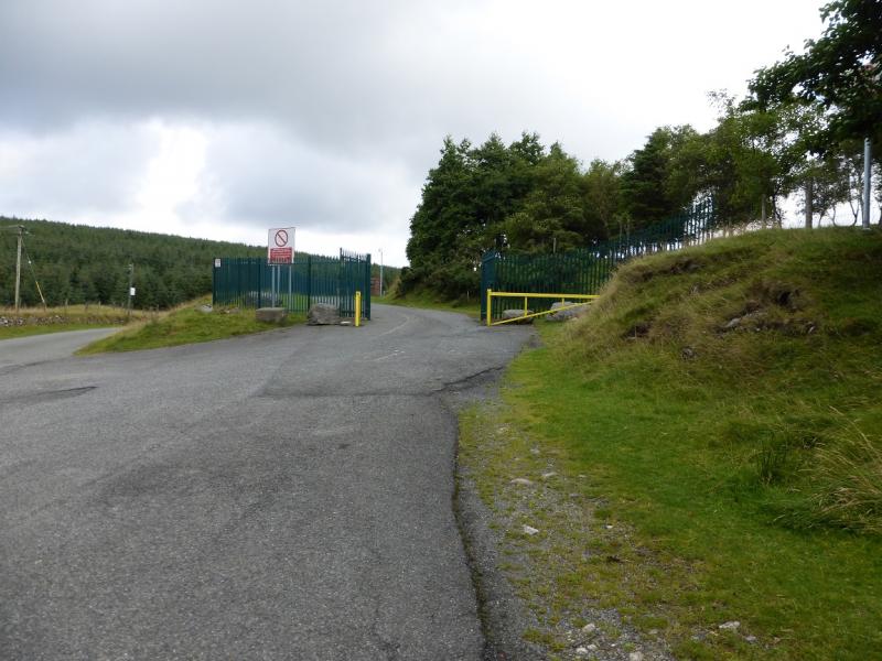
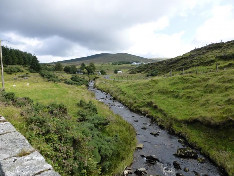
Entrance to Kilbride Military Camp at about O 064 178 which is on a minor road going west then north from Kippure Bridge although this is not the easiest way to reach this point. From Blessington, on the N 81 main road, drive north for about 4 miles/ 6 km to reach a minor road on the right signed for Sally Gap. Follow this for about 1.5 miles/2.5 km to a crossroads. Turn left, NE, for about 1 mile/1.5 km to Ballyfolan T junction. Turn right here, SE, for about 1.2 miles/2 km to another T junction. Turn left, N. The entrance to Kilbride Military Camp is a short distance up the road. Park close to the entrance. If the flags are flying then firing of live ammunition will be taking place so the walk is probably best left for another day. Warning: The official car parks in this area have warning signs about cars being broken into so do not leave anything of any value in your car and especially on view as you may come back to broken windows.
Distance/Time
16 km. About 6 hours
Peaks
Seahan, 648 m, O 081 197. (Irish National Grid System)
Corrig Mountain, 618 m, O 090 193.
Kippure, 757 m, O 115 154.
Seefingan, 724 m, O 086 169.
Seefin, 621 m, O 073 162. Irish OS Discovery Series Map 56 (1:50000)
Introduction
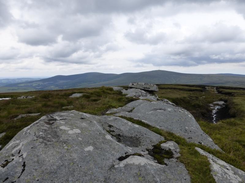
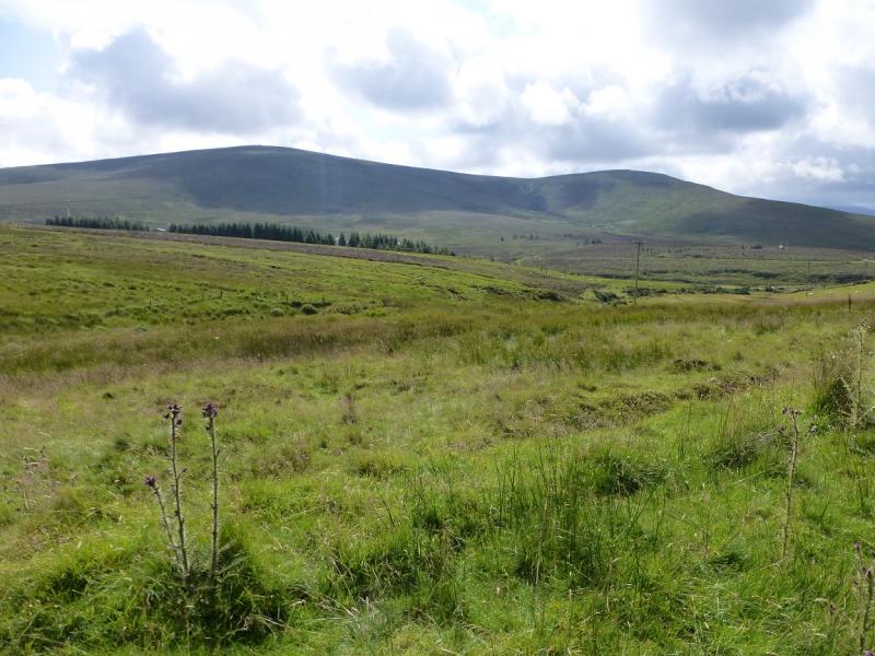
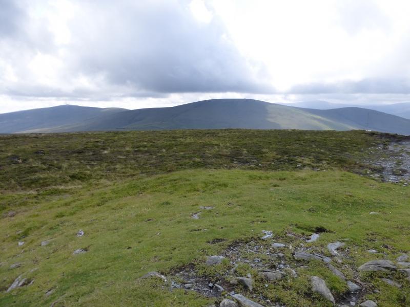
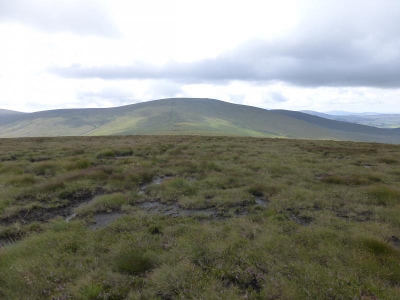
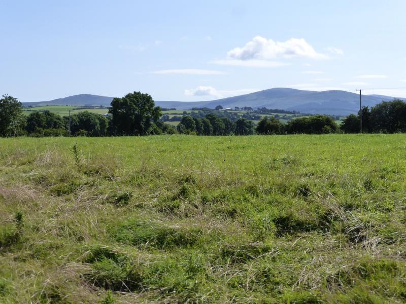
This is a high moorland walk with some peaty and boggy sections especially between Seefingan and Kippure. In a warm dry spell, much of the peat is easily walked across. There are good views from these hills especially to Djouce Mountain and the Mullachcleevaun range but also over Dublin Bay. There is archaeological interest with a megalithic passage tomb on Seefin. In clear weather, navigation is straight forward. Navigation in mist would be quite taxing and the bogs would be harder to avoid. You should be able to easily reset your GPS to the Irish National Grid System.
Route
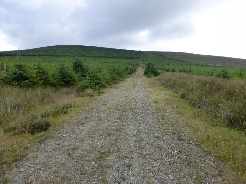
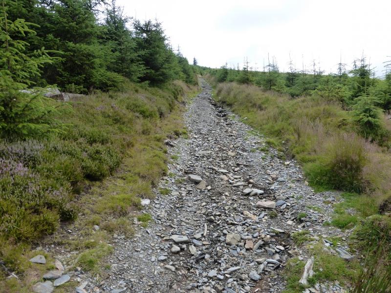
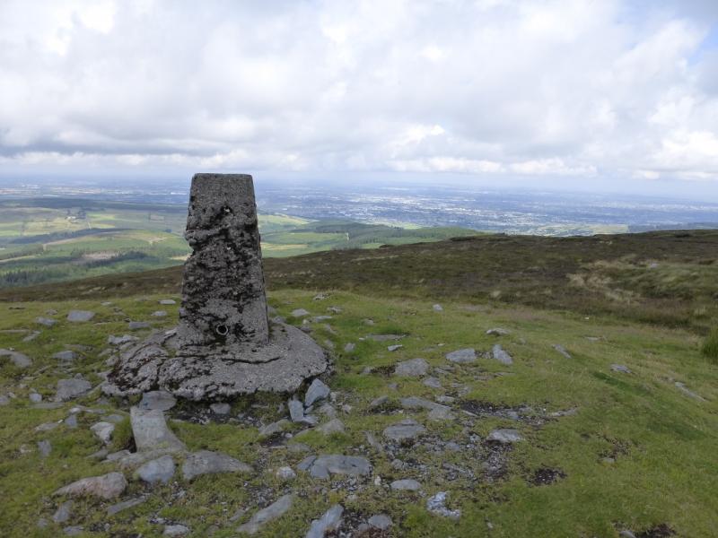
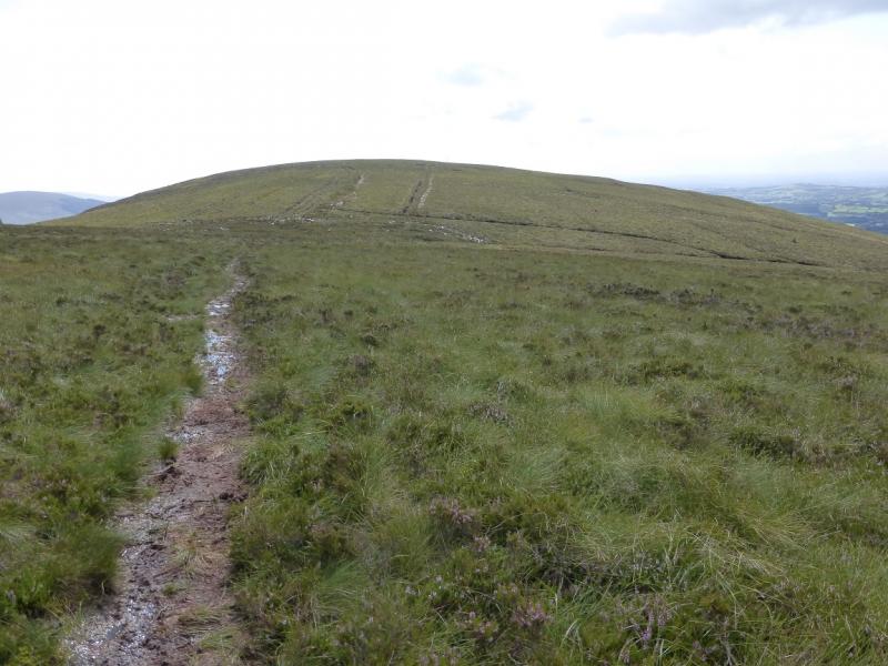
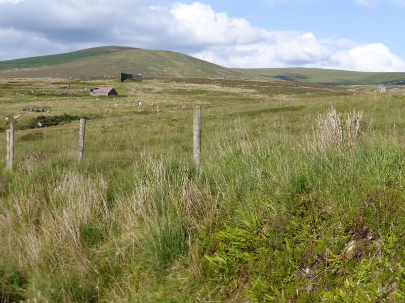
(1) From the camp, walk N up the road. Go past a track on the left with a barrier. Not far from the top of the road, an obvious track, guarded by boulders, goes right up through the newly planted forest. A low fence has to be stepped over at the start of this track. Follow the track which narrows further on before joining another track coming from the N. This track continues uphill to join another track on the edge of the forest which ascends to the treeline before continuing up to the trig point which marks the summit of Seahan, 648 m.
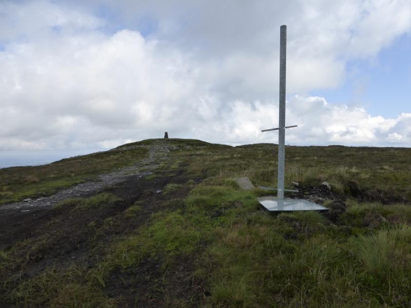
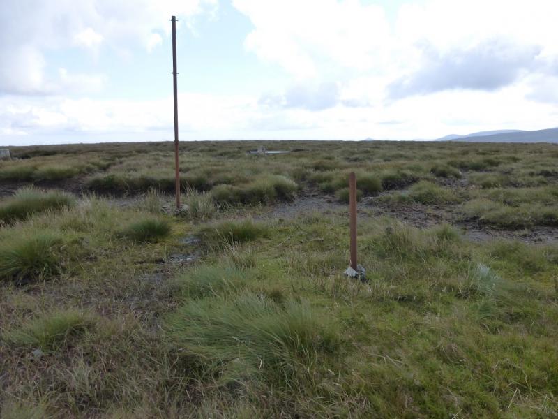
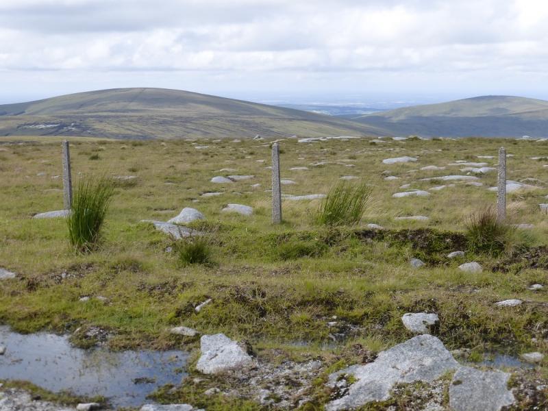
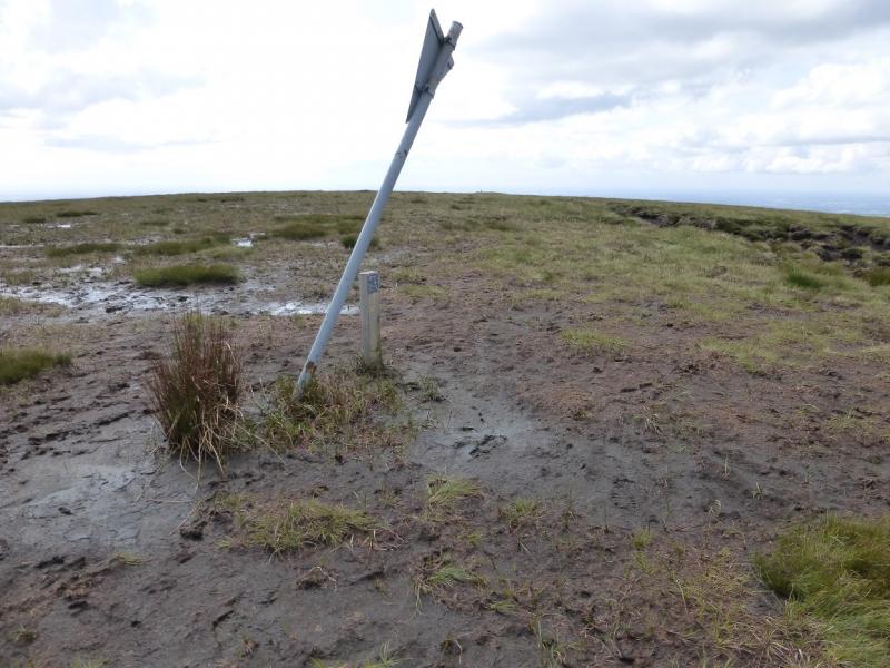
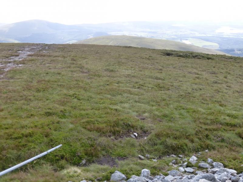
(2) Descend ESE down a good path to reach a boggy col then ascend to a flat grassy area which is the summit of Corrig Mountain, 618 m. There is no cairn but a tall post might be the highest point.
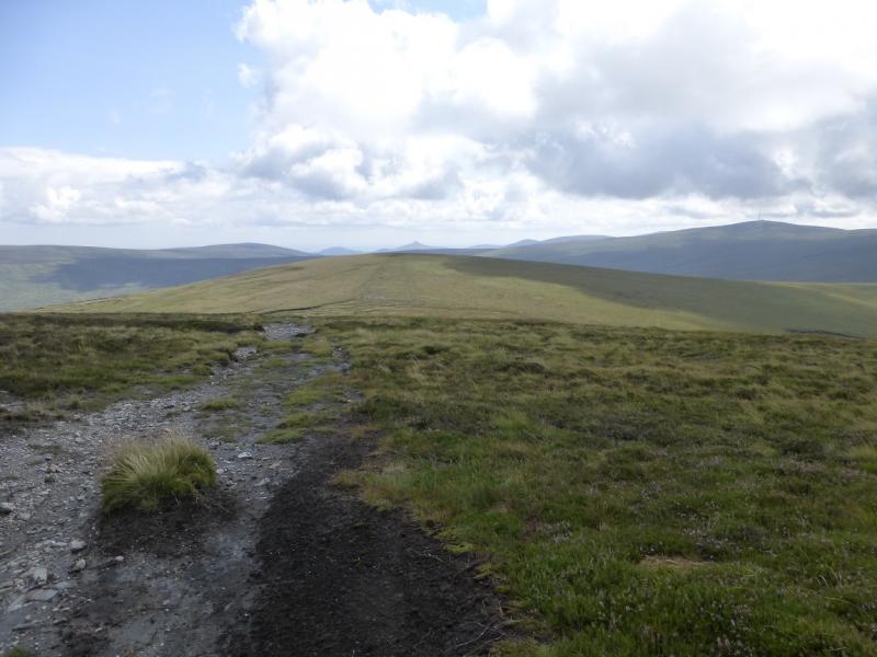
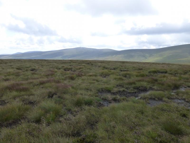
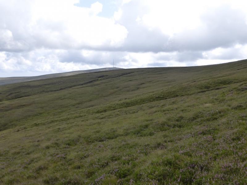
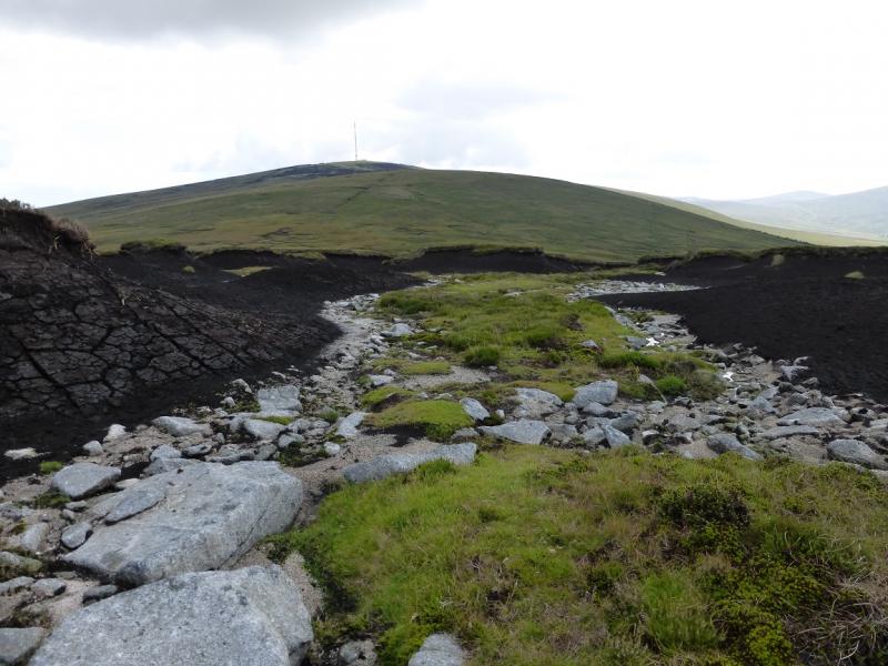
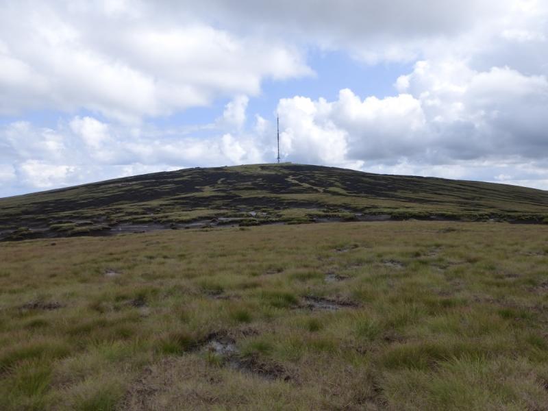
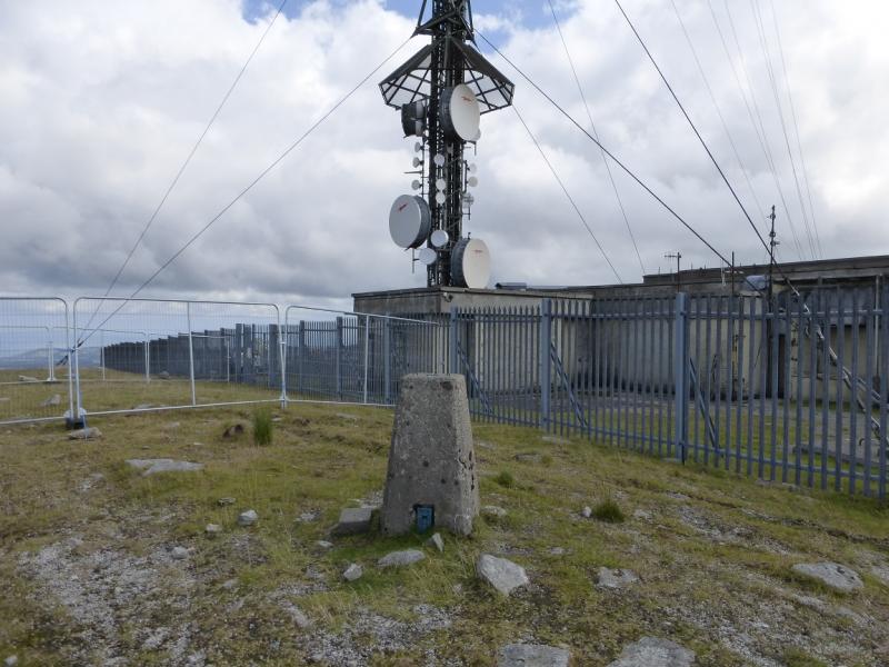
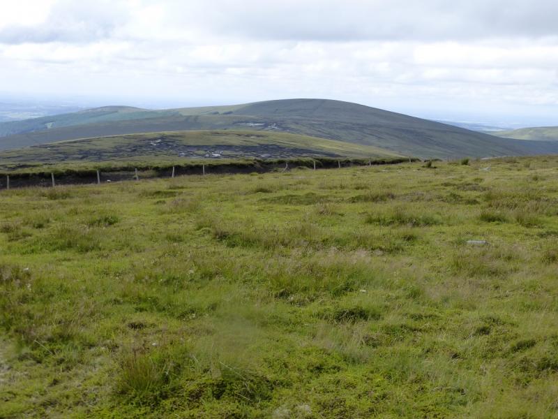
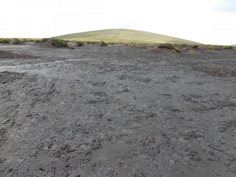
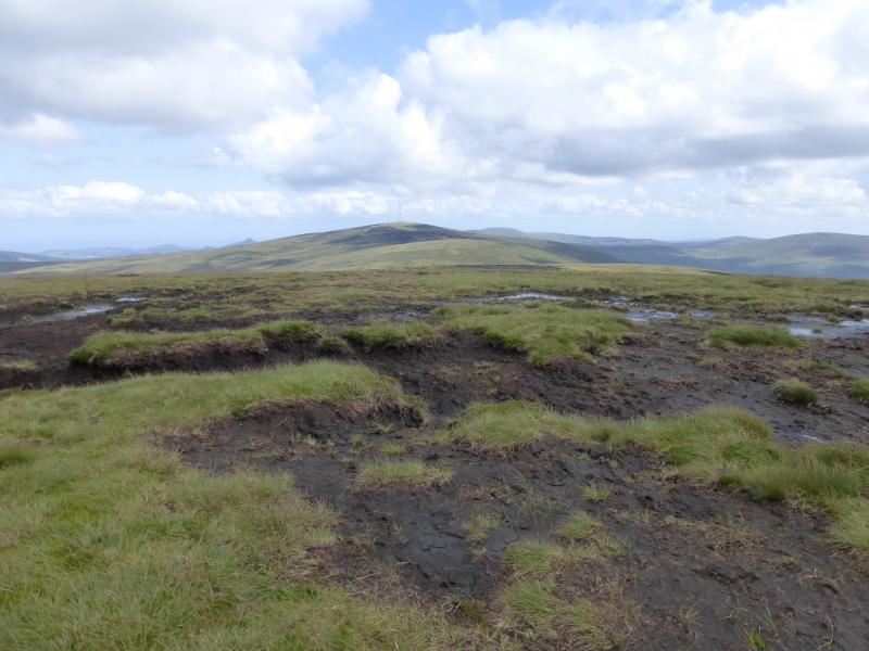
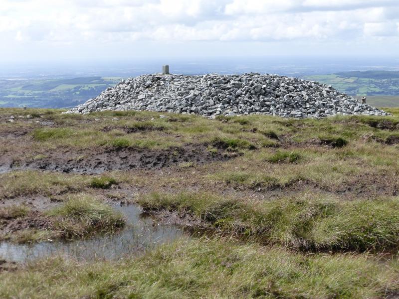
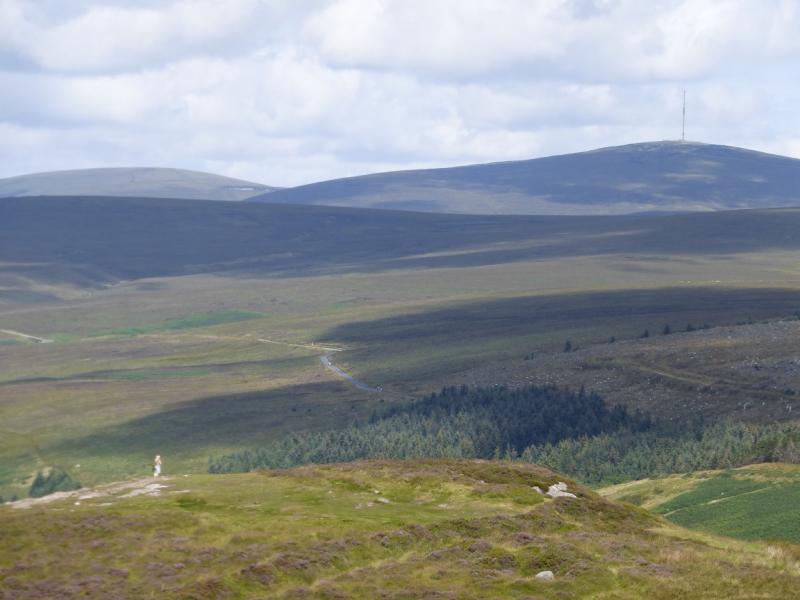
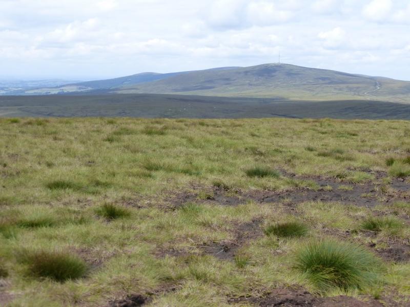
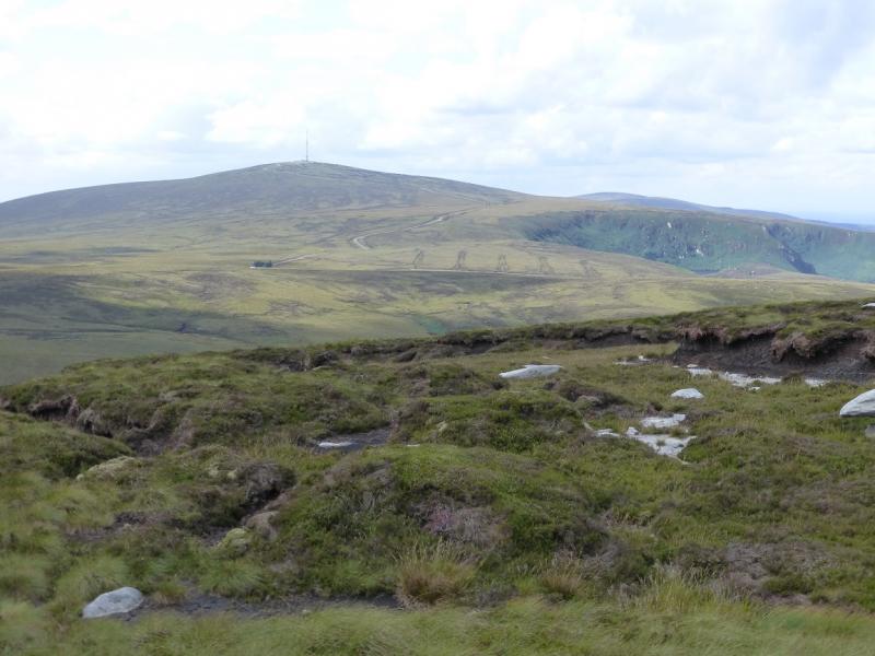
(3) The going is now rougher and more boggy. Descend almost due S to a broad boggy col. Continue up the N ridge of Seefingan but, as soon as possible, look to traverse around to the left, NE flank, to reach the ridge between Seefingan & Kippure. Once on this broad and boggy ridge, pick as good a route as you can find. There is a path but it is not easy to locate but once found should be able to be followed for much of the way. There are some large peat hags to cross. In a warm dry spell, these are mainly firm enough to walk through but watch out for soft and boggy patches. In some of the peat hags, there are gravel channels which make for easier walking. In clear weather, the aerial on Kippure makes navigation very easy. The final slope has many grassy channels for an easier ascent. There is a large building complex inside a high security fence. Fortunately, the trig point lies just outside this fence and is the highest point on Kippure, 757 m.
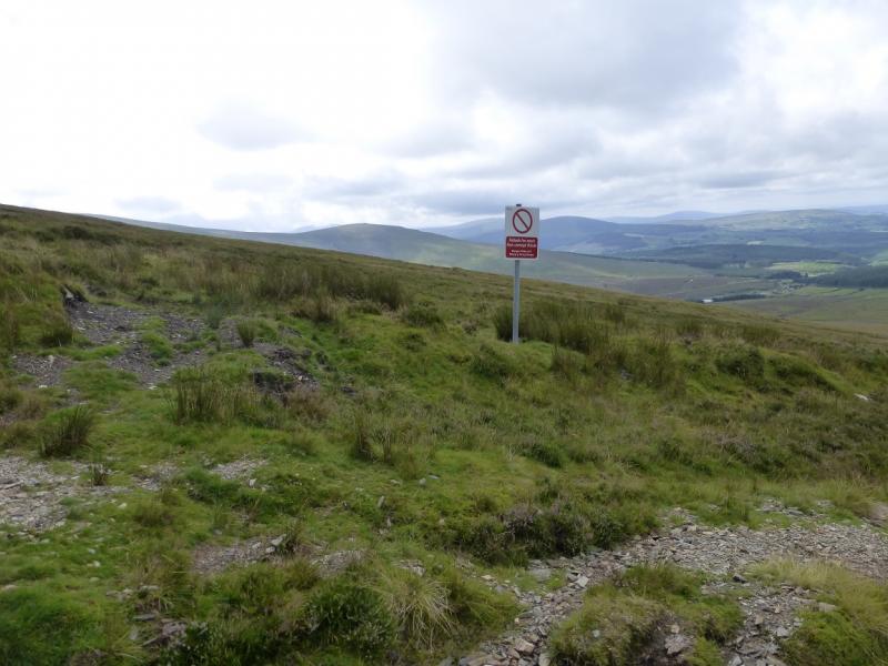
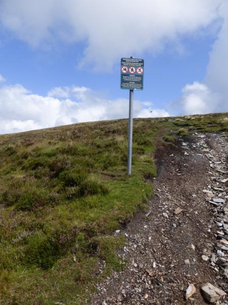
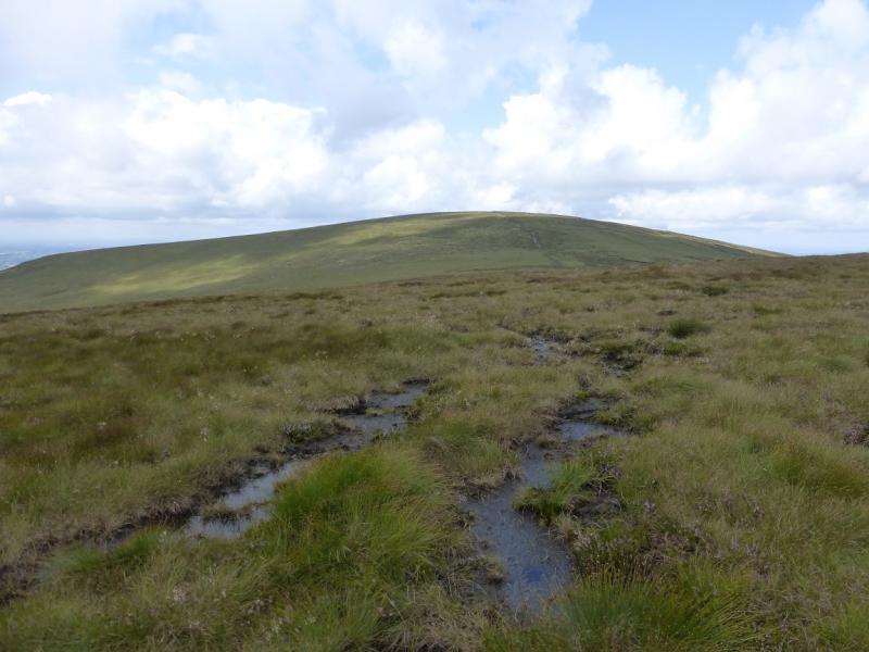
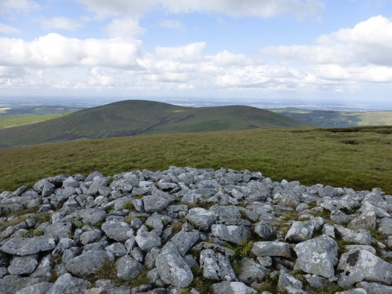
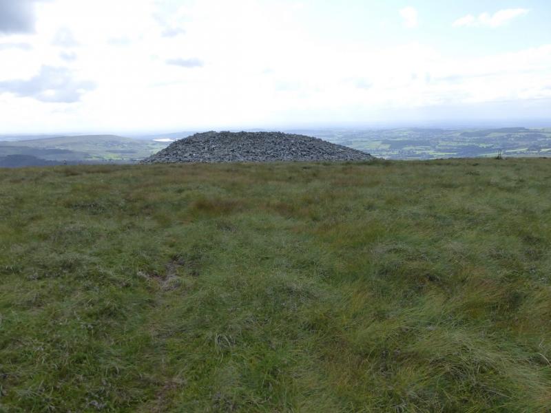
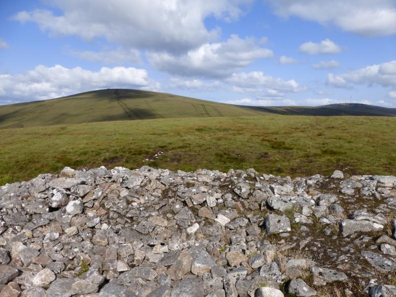
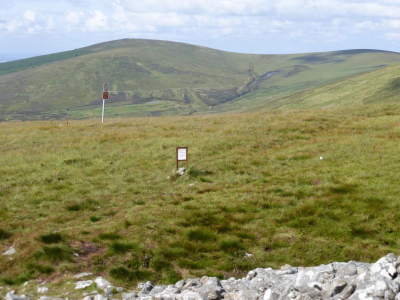
(4) Retrace back along the ridge towards Seefingan, picking a way through the peat hags and boggy sections. On the final ascent slope, there is a channel with a path on one side. On the flat summit, there is no cairn at the highest point but a warning notice and a Wicklow Park sign might be on the highest point of Seefingan, 724 m. Not far to the W of these posts is a huge cairn but it is clearly not on the highest point.
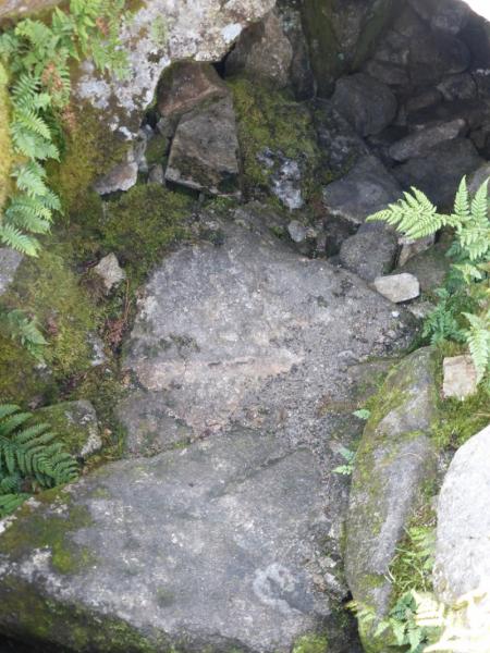
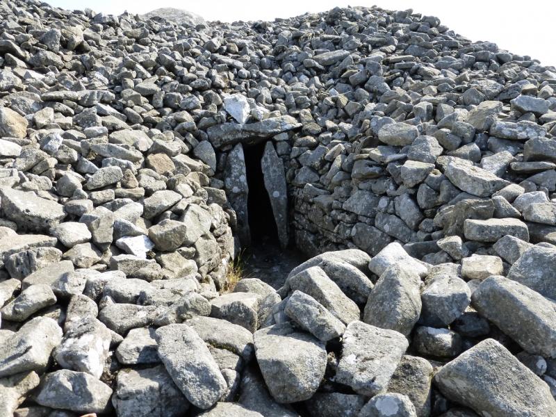
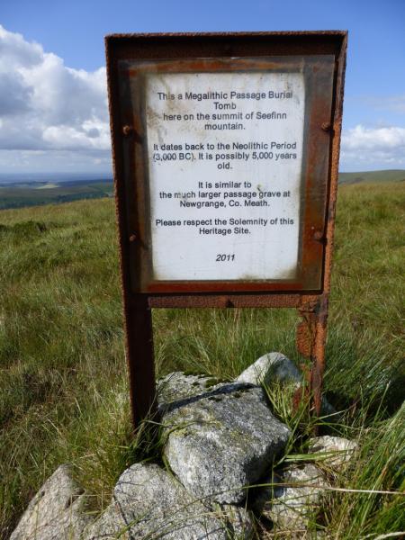
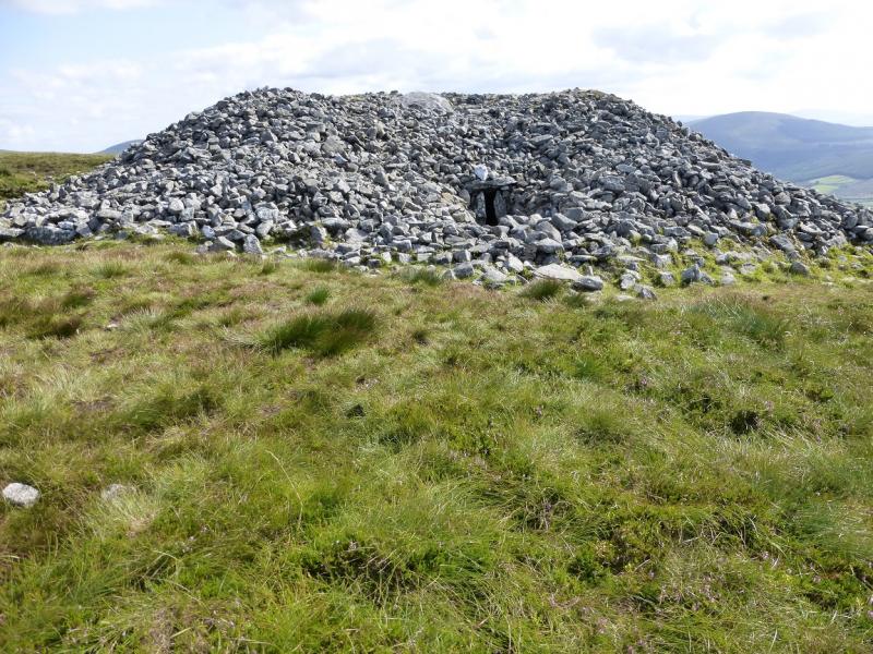
(5) From the cairn, descend SW down a slightly boggy ridge to a wet col. Continue up the other side to reach a flat grassy area. There is no cairn but the highest point on Seefin, 621 m, is here. A little further is another huge cairn, clearly below the highest point. This cairn is a megalithic passage tomb thought to be about 5000 years old. From its top, one can look into a rocky “hole” with passages leading off it. Walking around the outside, leads one to the door of the tomb with a passage beyond. There is a notice nearby asking walkers to respect the solemnity of the site.
(6) From the tomb, an obvious peaty path descends roughly WNW. Lower down, this follows a fence. In summer it will pass through deep ferns but is still easily followed. Lower down, the path crosses the fence and follows the edge of the forest down to the road. Turn right, N, and walk back to the start.
Notes
(a) This walk took place on 6th August, 2014.
(b) Missing out Kippure saves about 2 hours and a lot of bog walking. Kippure could then be ascended by its tarmac road from the east.
(c) There is an excellent camping and caravan site, in the village of Donard, called Moat Farm. It has beautiful landscaped grounds, including a stone circle (!) and is very well laid out with free hot showers. There is a large campers’ kitchen with tables and sinks but bring your own cooking equipment and pans. There is a fridge and freezer. There is also a sitting room with a TV. The owner and staff are very welcoming, very friendly and very helpful. You would be hard pressed to find a nicer site. Donard is about 4 miles from the Glen of Imaal stores (where you can buy a sandwich). Donard is signposted off the N 81 main road between Blessington and Baltinglass. More about Moat Farm in its own section!
Photos - Hover over photo for caption. Click on to enlarge. Click on again to reduce.