Get Lost Mountaineering
You are here: Scotland » 13 Applecross, Coulin and Torridon » Loch Torridon to Loch Maree
Liathach - all Munro Tops from Coire Dubh car park in Glen Torridon
Liathach - all Munro Tops from Coire Dubh car park in Glen Torridon
Start/Finish
Car park in Glen Torridon at about NG 957 568. This is about 6 miles from Kinlochewe on the A896 road to Shieldaig. It is a fair sized car park but can quickly fill up on busy days. It is the main access car park for Beinn Eighe and only used for Liathach by those wanting to get around to its north side.
Distance/Time
16 km. About 10 - 11 hours.
Peaks
Meall Dearg, 955 m, NG 913 579.
Mullach an Rathain, 1023 m, NG 912 577.
Am Fasarinen, 927 m, NG 923 574.
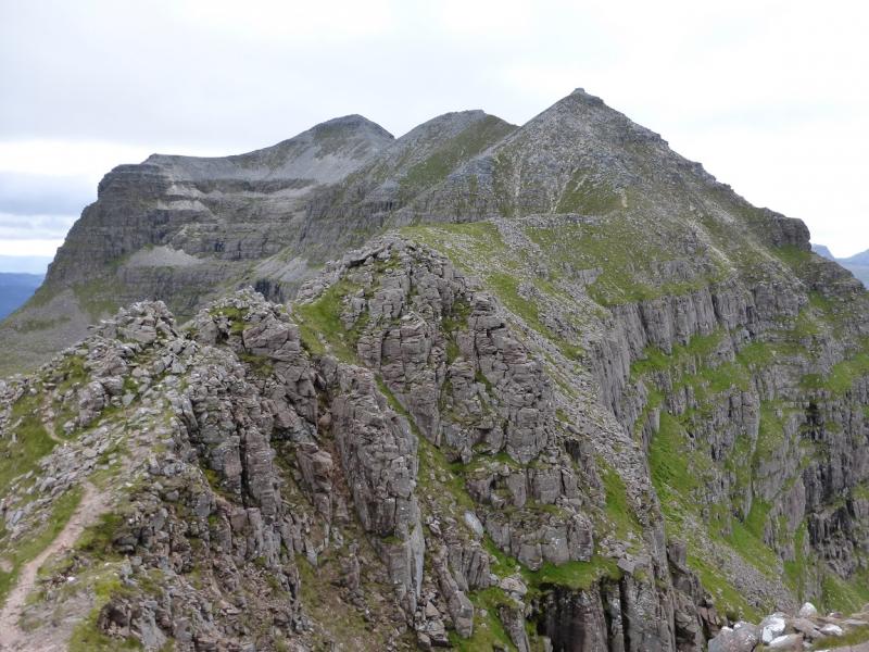
Spidean a' Choire Leith, 1055 m, NG 929 579.
Stob a' Choire Liath Mhor, 983 m, NG 932 581.
Stuc a' Choire Dhuibh Bhig, 915 m, NG 942 582. OS sheet 25 (just!).
Introduction
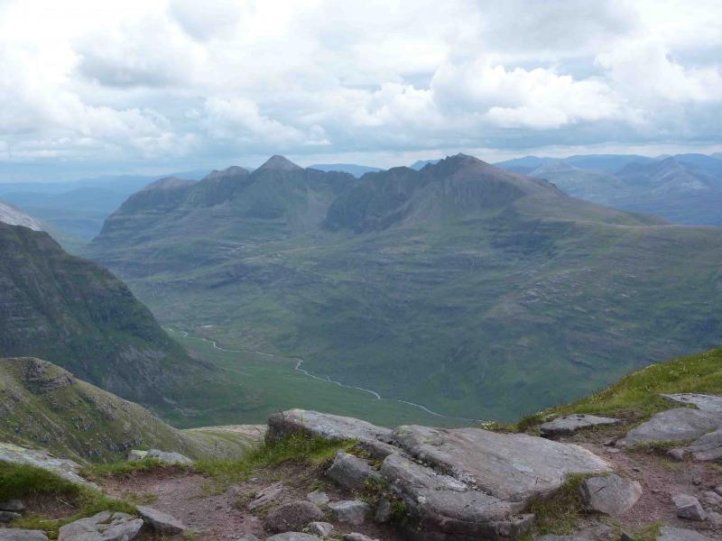
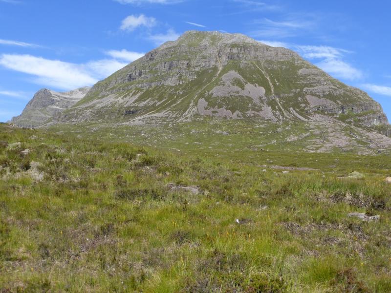
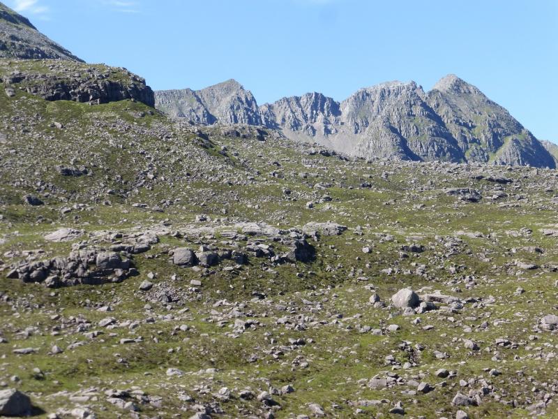
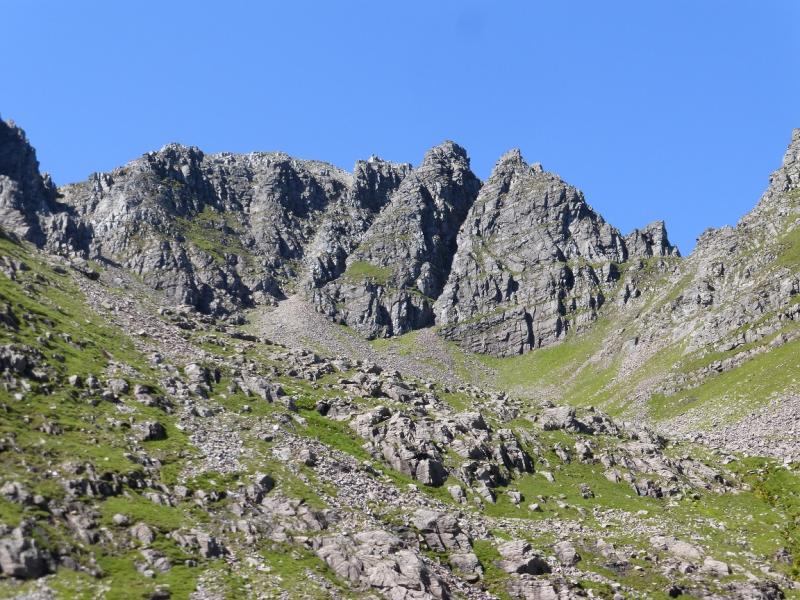
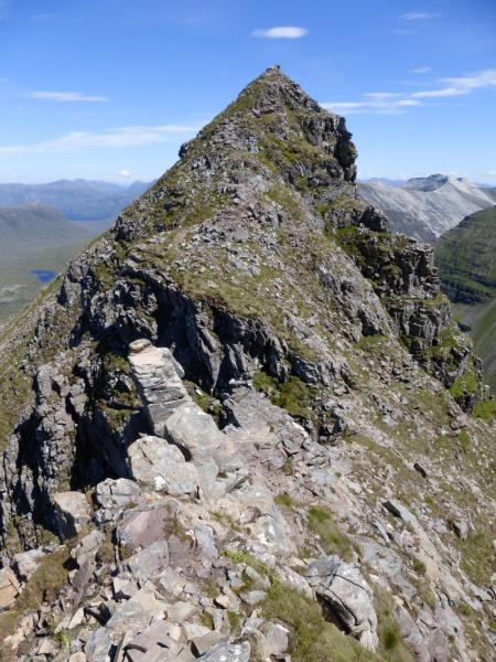
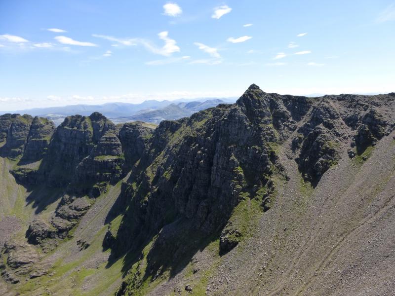
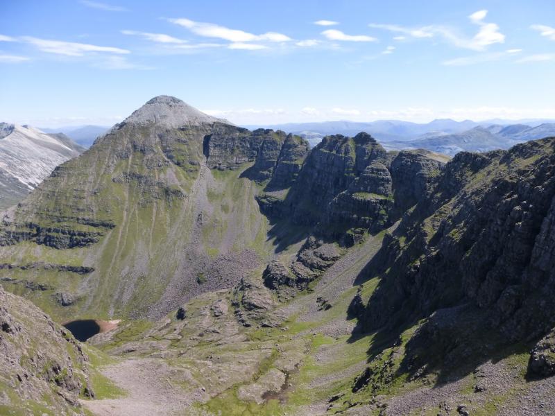
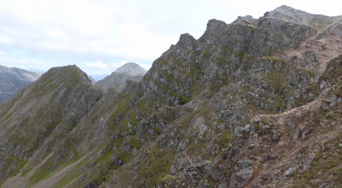
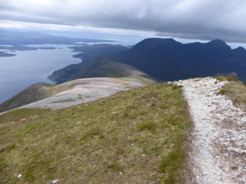
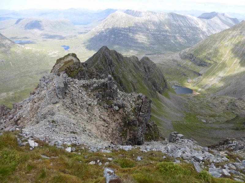
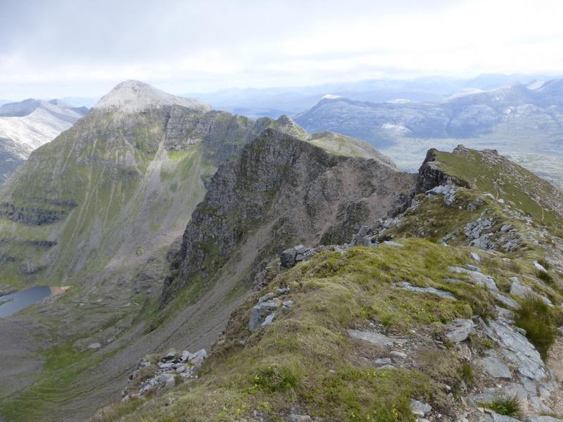
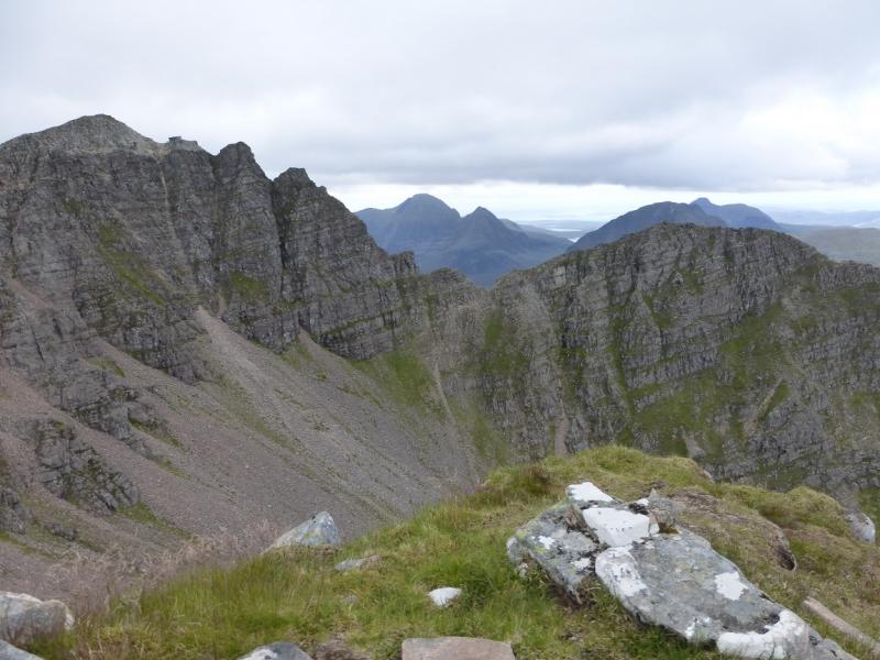
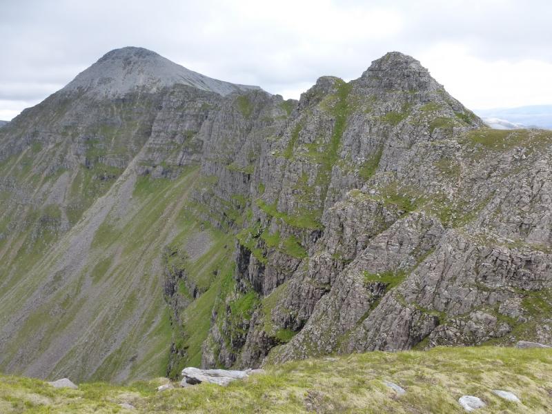
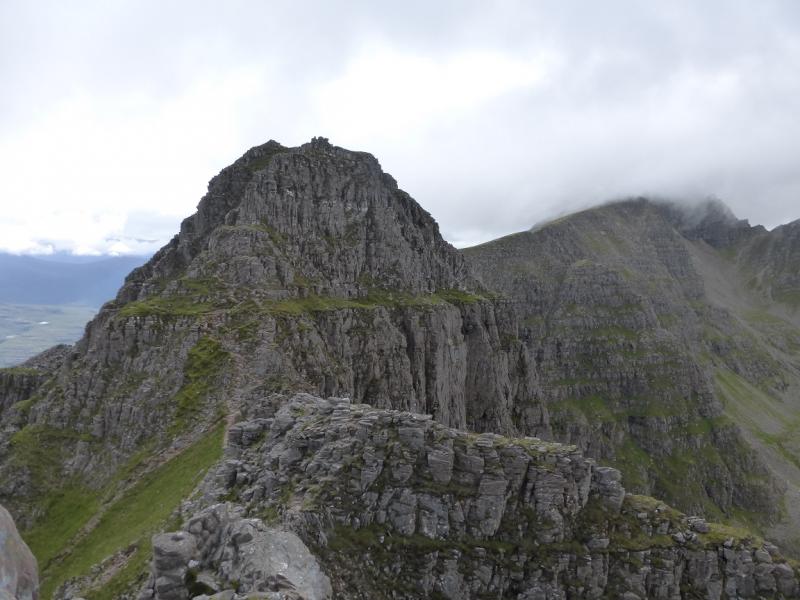
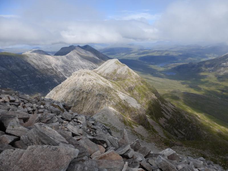
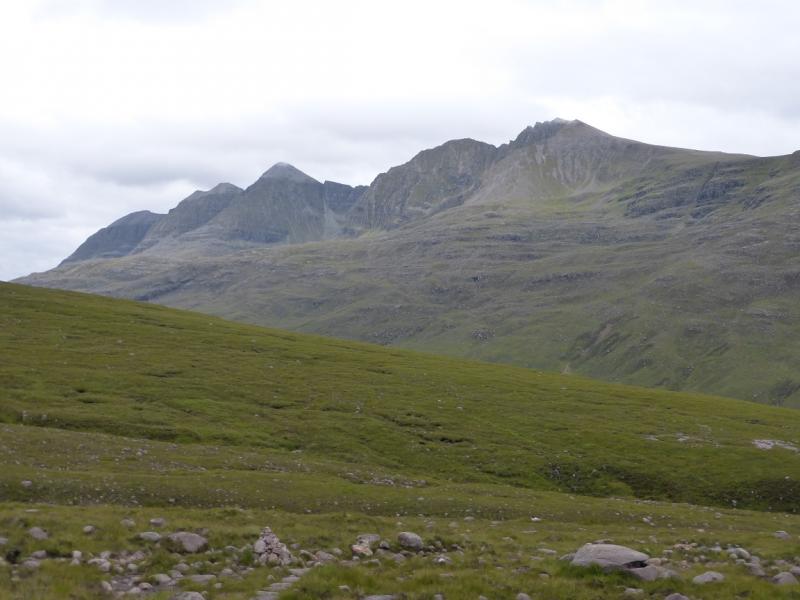
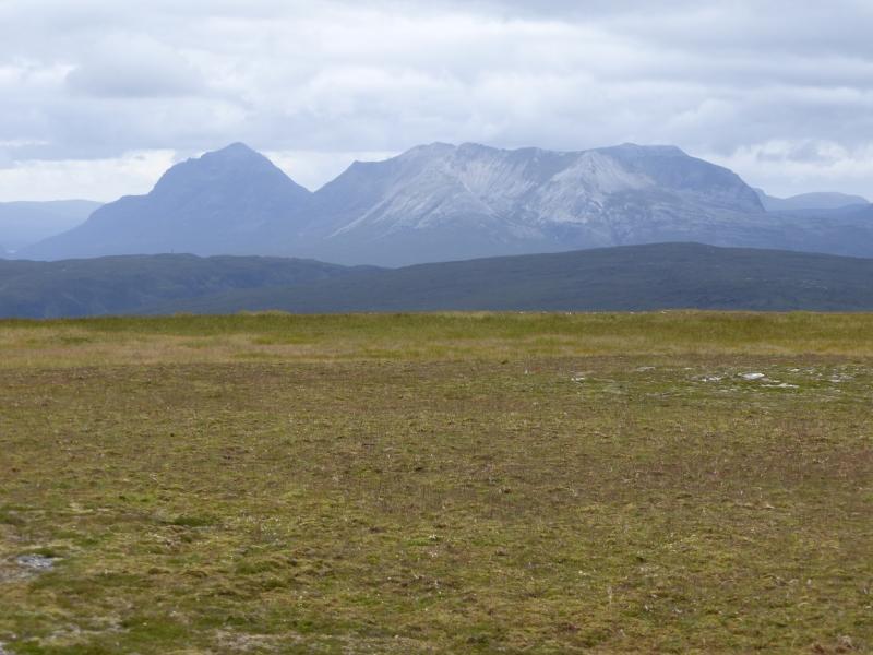
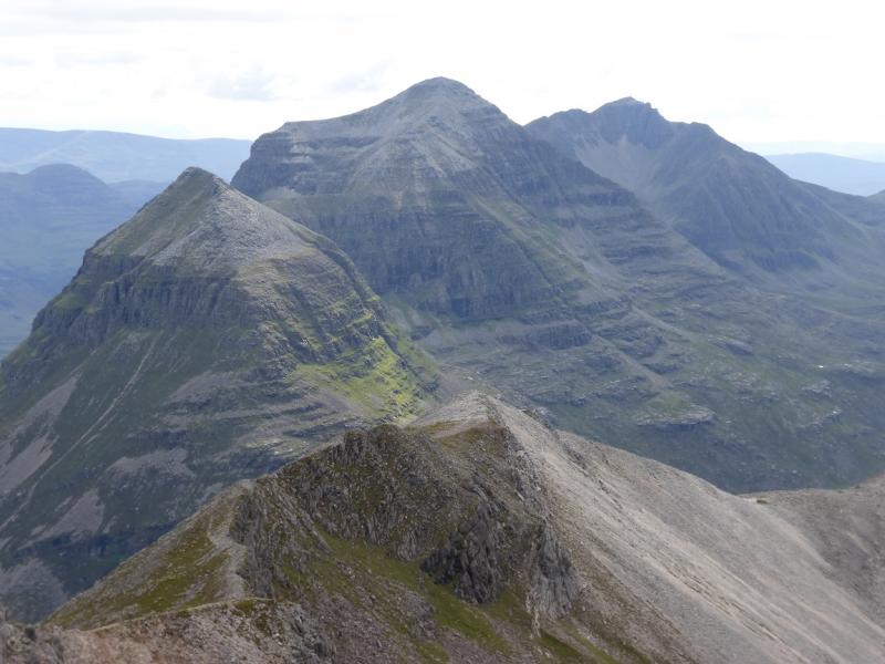
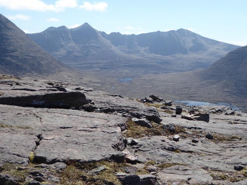
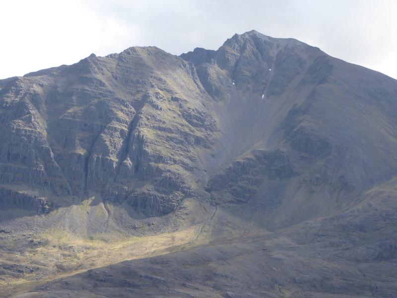
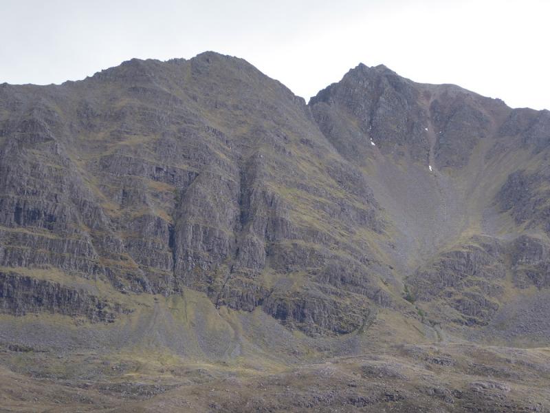
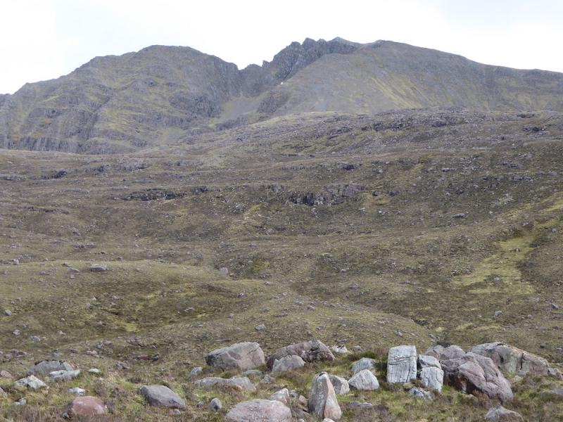
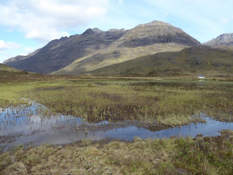
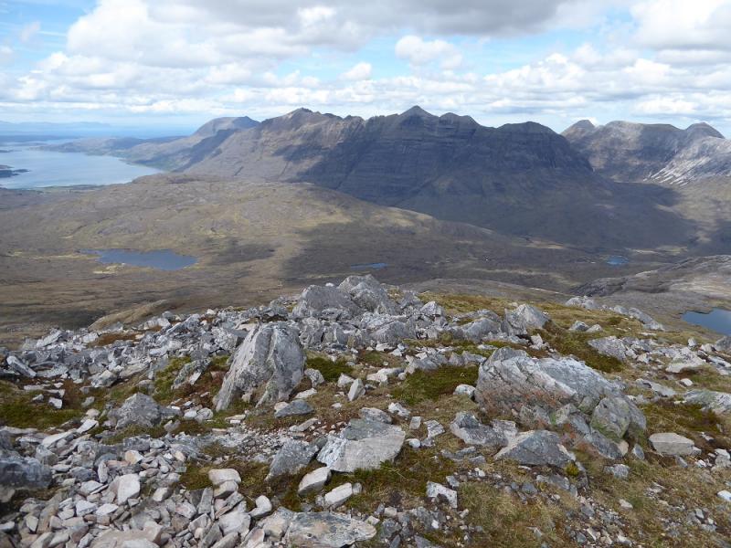
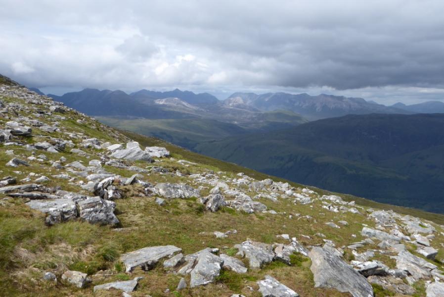
The “standard” traverse of Liathach does not include Meall Dearg which is the only top off the main crest. One guide book used to claim it was the second hardest top in Scotland after the Inaccessible Pinnacle. This is complete rubbish. On a dry, clear, calm Summer's day, one can reach its top by walking only. Meall Dearg is a fine top offering views not seen from the main crest of Liathach but it does add 2 – 3 hours to the day hence the long overall time. The ridge connecting Meall Dearg to Mullach an Rathain is known as the Northern Pinnacles. These can be climbed with routes in the relevant guide books but those who take on this ridge often use the grooves or steep gullies to avoid the direct ascents of the pinnacles. The ridge has been both ascended and descended by this method previously but memories have faded so no further details will be given. However, if you are a competent climber or a good, experienced scrambler then a little exploration should find routes within your capability. This route tries to use the path in the corries to the west of the Northern Pinnacles open up the route to those who would struggle on the Northern Pinnacles ridge. Much has been written about the main crest of Liathach. The ridge is only rocky between An Fasarinen and Spidean a' Choire Leith which is about the eastern third of the crest between the two Munros. There is a good avoiding path, on the south side, for those who wish to miss the rockier sections. For those who wish to stay on the crest, another avoiding path usually appears when it gets particularly rocky. As one would expect, the views are absolutely stunning – especially to Beinn Alligin, Beinn Dearg and Beinn Eighe.
Route
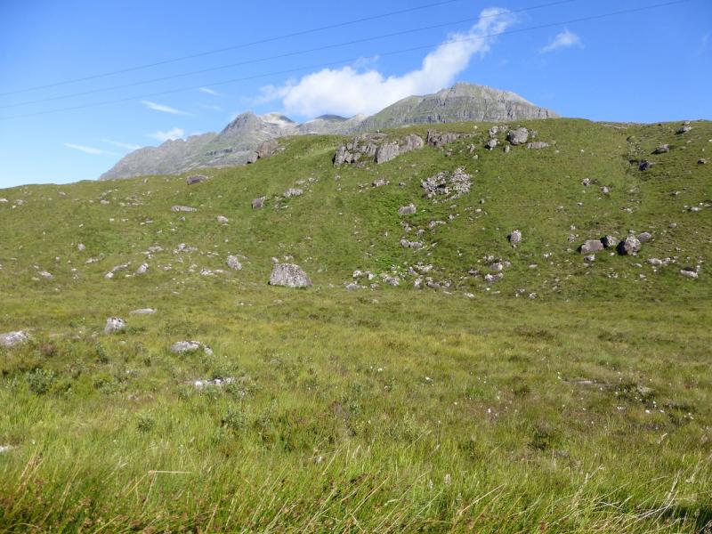
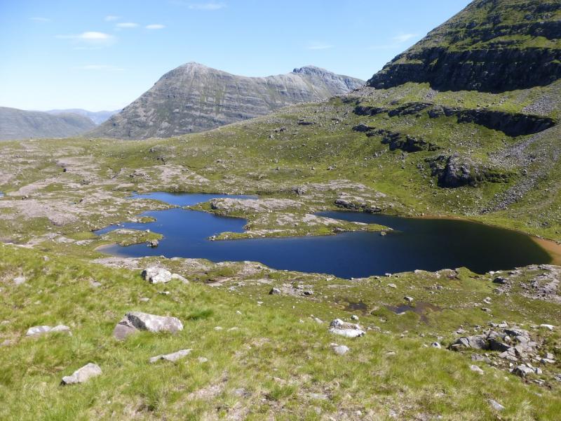
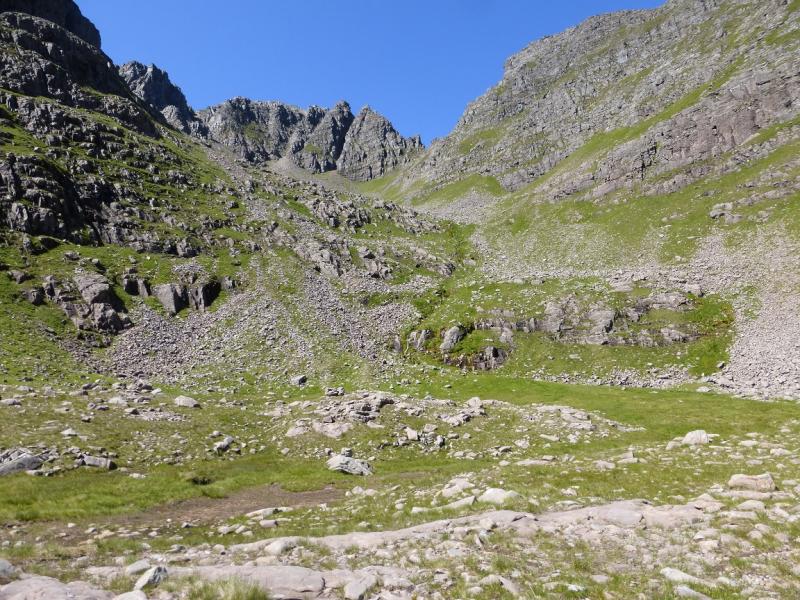
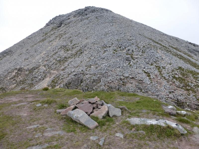
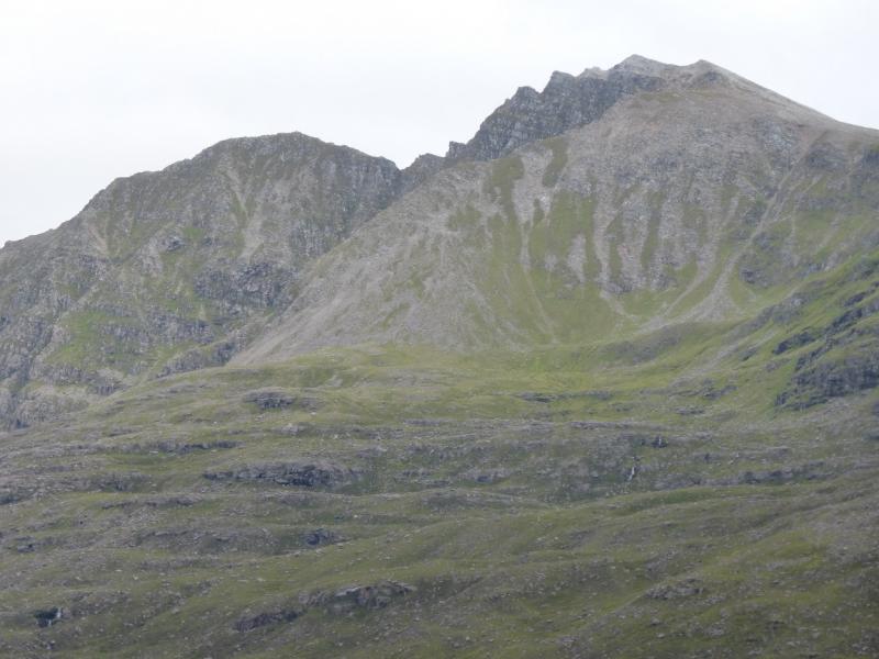
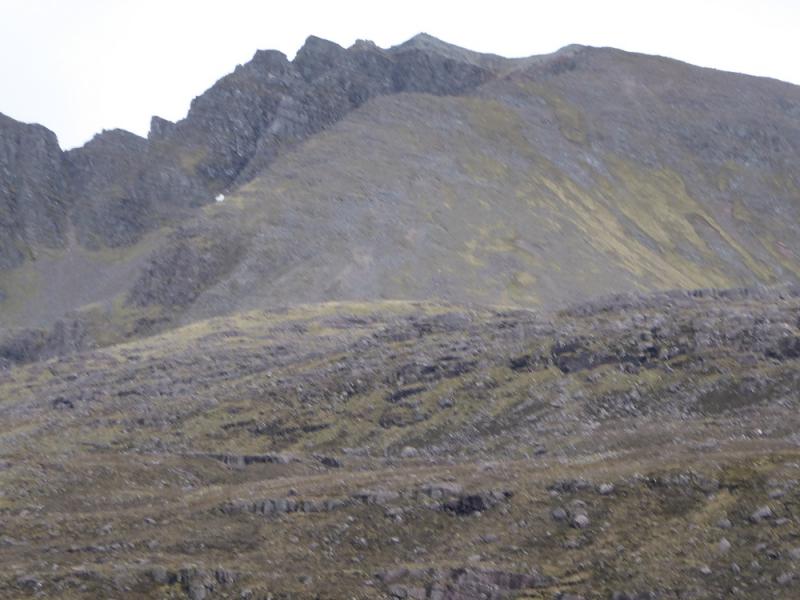
(1) From the Coire Dubh car park, walk back to the road, where the path starts at a sign post. Do not take the path out of the car park as it is rougher and more boggy. Follow the path for about 4 km, gaining a fair amount of height, to where the path splits at a large cairn. There is a lochan just to the S but it can not be seen from the cairn. Leave the path here and head SW over pathless terrain heading for Loch Coire na Caime, about 2 km away. Go around the S side of the loch then start picking a way up the W corrie towards the Northern Pinnacles. Higher up, there is a faint path which gives the best way up the steep ground. In the upper corrie, aim for the top right corner. By now, the path may be more distinct and offers several choices. Unfortunately, some parts are eroded which may have been caused by scree running. Higher up still, the path goes off right and this leads to the true bealach between Meall Dearg and the Northern Pinnacles. Some will find it easier to aim for the gap to the left of this by going up a more grassy ramp. Once on the crest, go right, N, and walk up easy rocky slopes to the rocky summit with a small cairn which marks the top of Meall Dearg, 955 m. If the gap to the left of the bealach was reached then a straightforward clamber over a small rocky top leads to the true bealach.
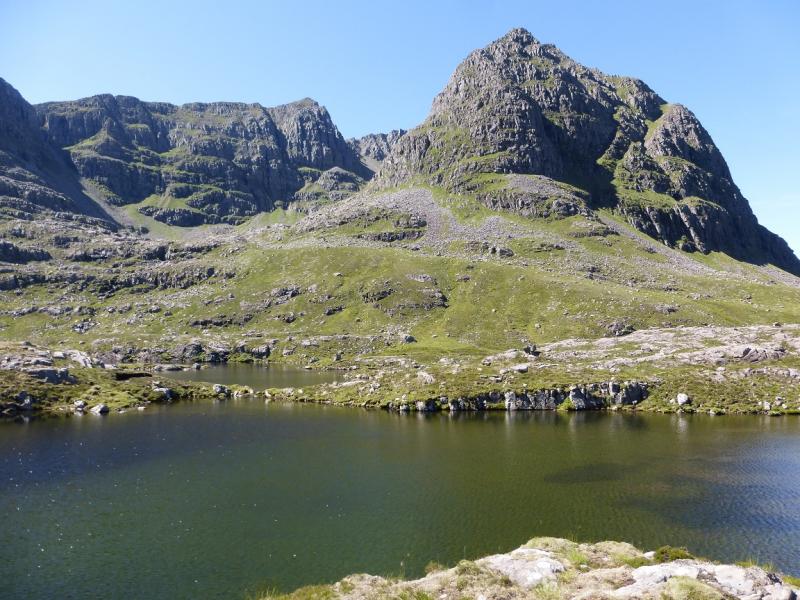
(2) Retrace to the true bealach. If not aiming to take on the Northern Pinnacles ridge then a descent must be made into the corrie immediately to the W. From the bealach, a faint path traverse right. Follow this as far as possible then weave a way down towards one of the two paths in the corrie. This is easier said than done as the ground is quite steep, rough and loose but if one picks a way carefully and takes their time then the descent should be uneventful. Once a path lower down has been reached, follow it up on to the N ridge of Mullach an Rathain. This splits, offering various choices, but it is a straightforward walk, over some rocky terrain, to the top where a medium cairn, not well built, marks the summit of Mullach an Rathain, 1023 m.
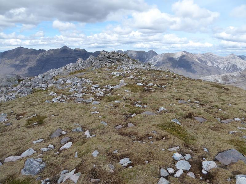
(3) Spidean a' Choire Leith is only about 2 km away but allow up to two hours to traverse the main crest. The Munro top of An Fasarinen lies about tow thirds of the way along. There are other higher tops which have cairns. Walk E along the obvious easy path. There are easy options to go to the top of any “pinnacles”. Just before An Fasarinen, the avoiding path starts on the S side for those who wish to take it. Otherwise, take the path up to reach the top of Am Fasarinen, 927 m, which, surprisingly, has no cairn.
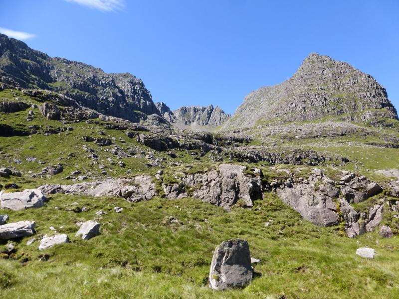
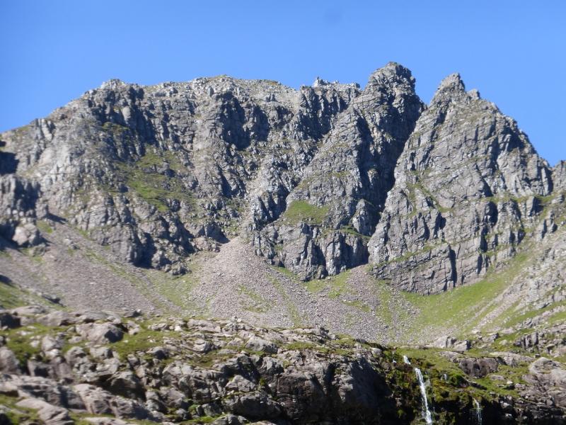
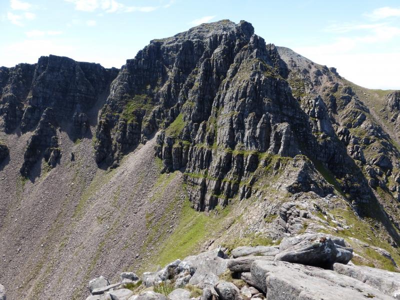
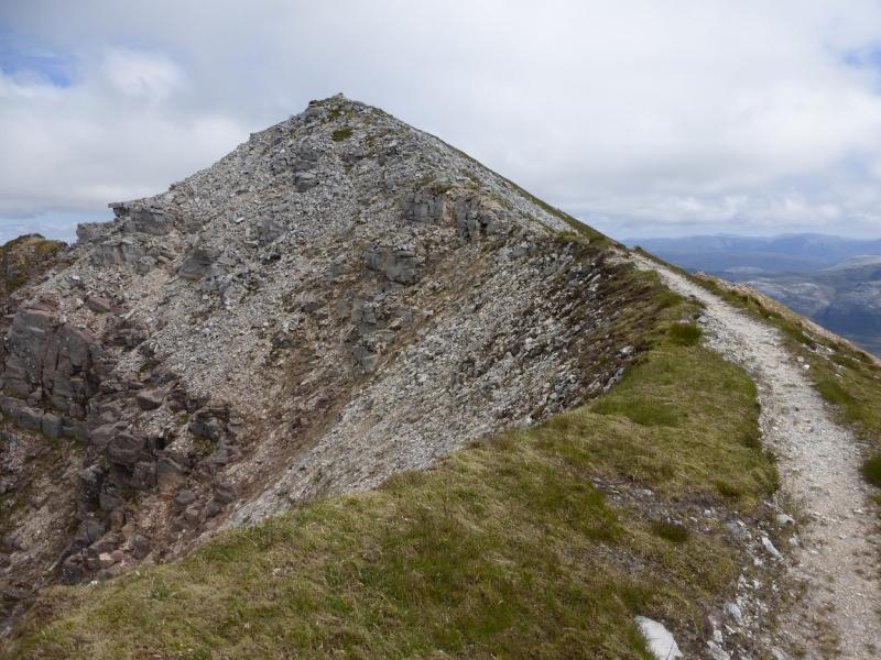
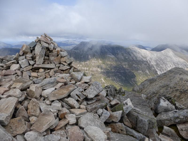
(4) Continue along the crest, descending carefully from An Fasarinen. There are a few “pinnacles” which can be taken direct, by passed by the higher avoiding path or one can drop to the lower and main avoiding path. All paths merge at the end of the pinnacles and the path leads up a long quartzite boulder field, with some short scrambling possibilities, to reach the large cairn which marks the summit of Spidean a' Choire Leith, 1055 m. The path can be difficult to follow higher up; it generally drifts to the left, N.
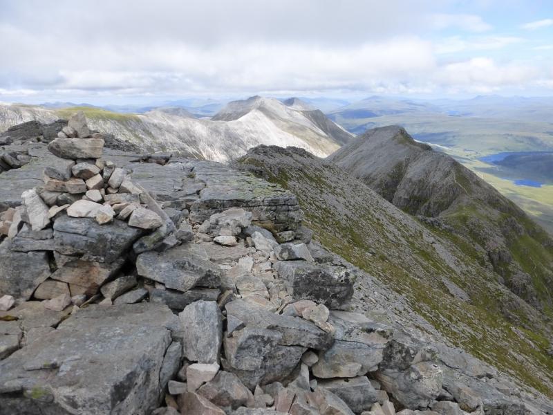
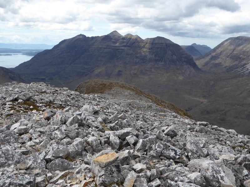
(5) Much of the rest of the crest is a quartzite boulder field. Descend from Spidean a' Choire Leith on the N side of its crest where the best path is. Continue down a long way then ascend to the medium cairn which marks the summit of Stob a' Choire Liath Mhor, 983 m.
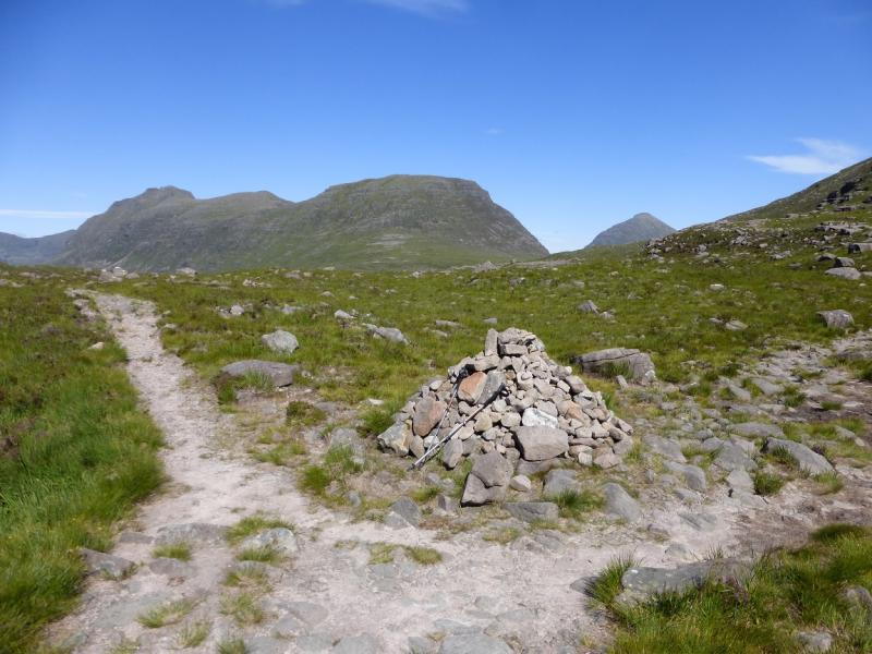
(6) Continue, crossing a shoulder on the way down to a bealach. Looking down right is a gully with the descent path seen below but this is not the way down so don't be tempted. Continue up the other side, soon passing two cairns where a path goes off to the right. The descent path is from the second cairn (first coming back). Continue ascending to reach the medium cairn which marks the summit of Stuc a' Choire Dhuibh Bhig, 915 m.
(7) Retrace to the first cairn. Leave the crest and follow the clear path. This is steep and rocky in places and progress will be slow but it is not difficult. However, it can take up to two hours to reach the road. A waterfall is passed lower down. Once on the road, turn left, E, and walk the 2.5 km back to the car park.
Notes
(a) This walk took place on 24th May, 1992 (in reverse with the Northern Pinnacles ridge being descended), 20th July, 2003 (same route but Northern Pinnacles ridge ascended) and 11th July, 2014 (route described above).
(b) The SYHA at Torridon is very well placed and a lovely place to stay. It is a modern purpose built building which is very well managed. It's only fault is that it is extremely popular so, if planning to stay there, book well in advance!
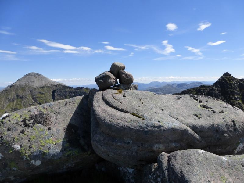
Photos - Hover over photo for caption. Click on to enlarge. Click on again to reduce.