Get Lost Mountaineering
You are here: Scotland » 02 River Tay to Rannoch Moor » North of Glen Lyon to Pitlochry
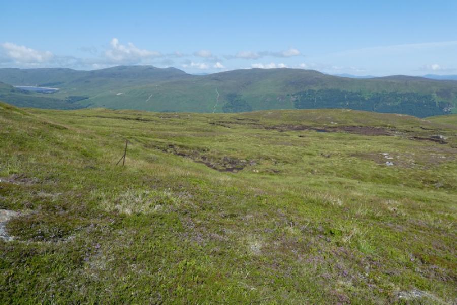
Cam Chreag, Glen Lyon
Cam Chreag from Innerwick in Glen Lyon
Start/Finish
Innerwick in Glen Lyon which is just under 2 km from the Bridge of Balgie which can be reached by driving over the high road from Loch Tay. There is plentiful parking, a picnic area with tables and toilets, all of which have been kindly provided by the Meggernie Estate who have also put up useful information boards. Please treat these facilities with respect.
Distance/Time
14 km . Approx 5 hours.
Peaks
Cam Chreag, 862 m, NN 536 491. OS Sheet 51.
Introduction
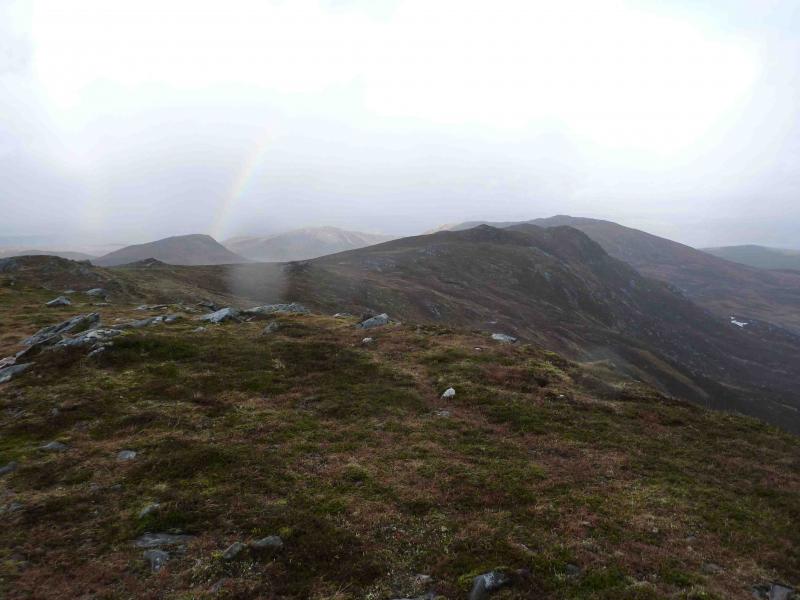
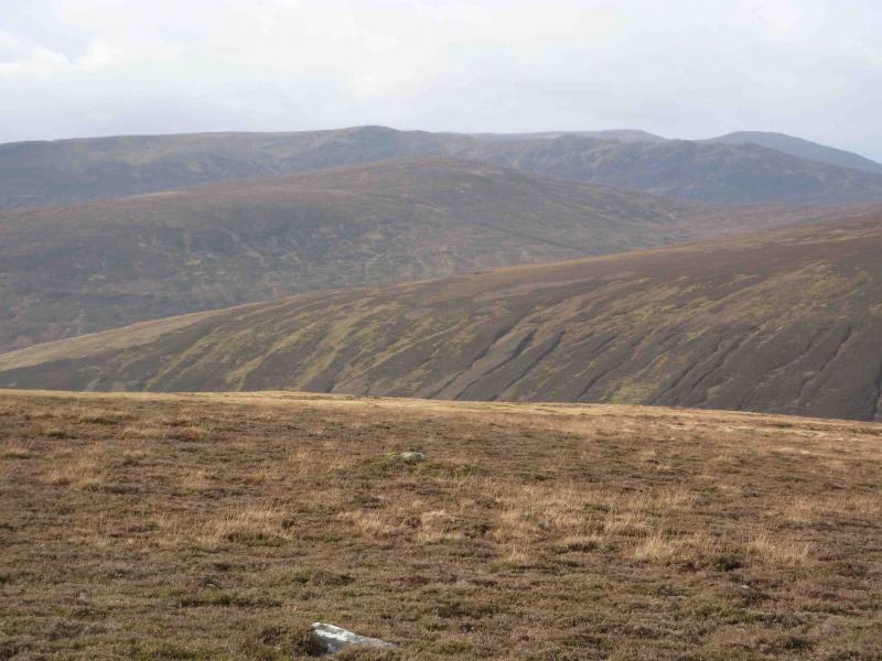
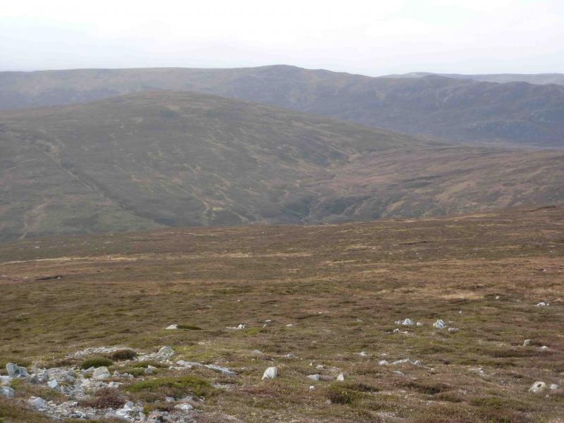
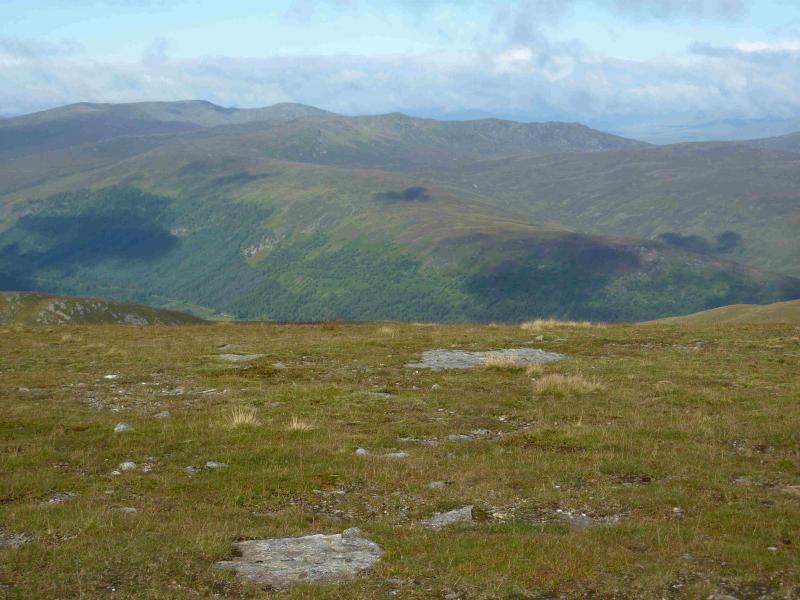
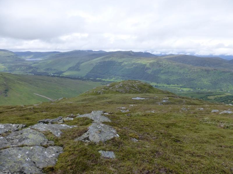
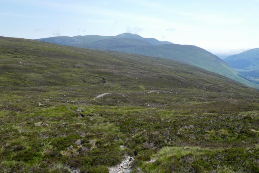
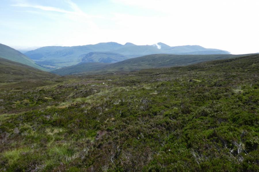
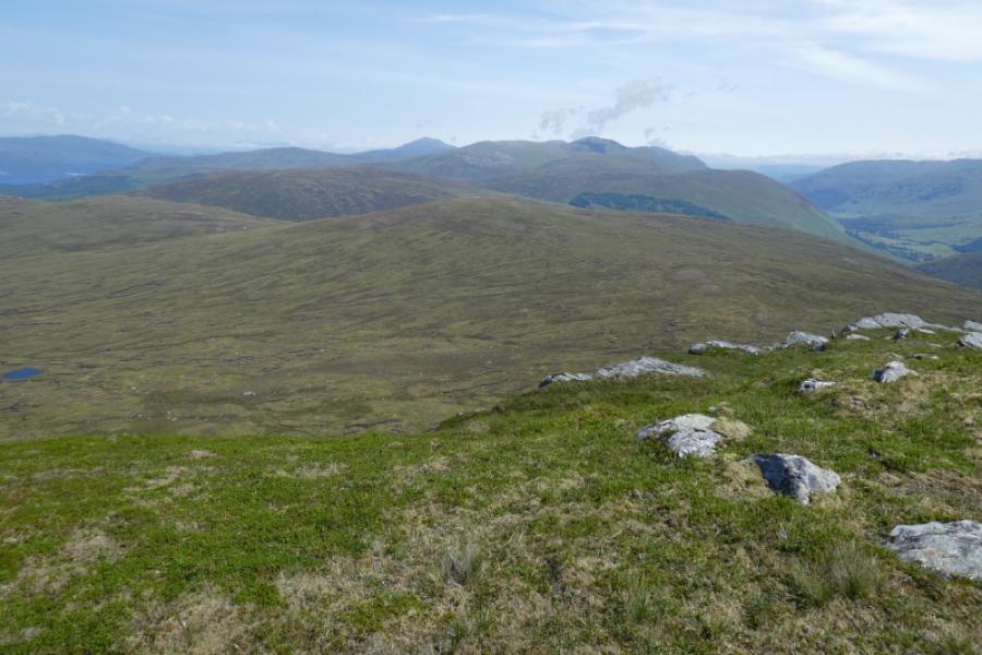
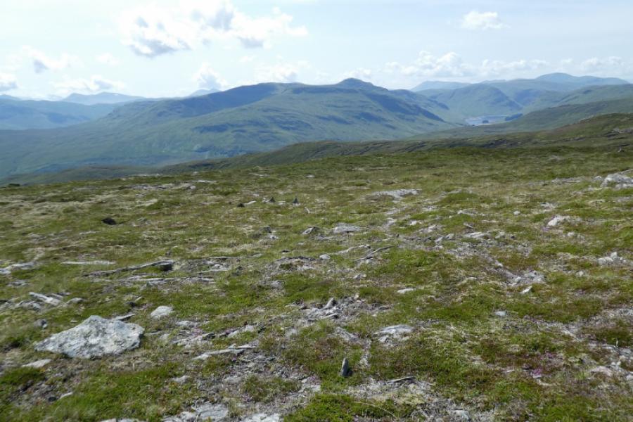
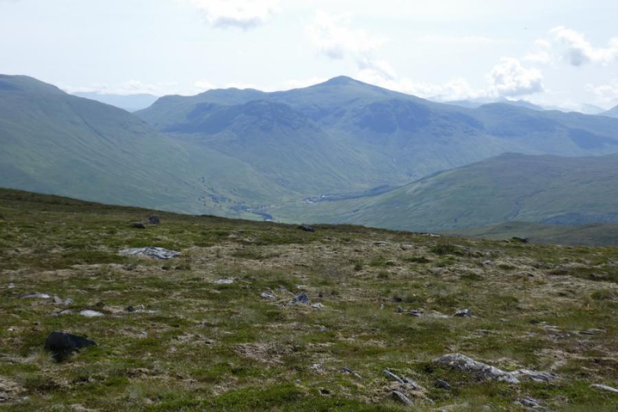
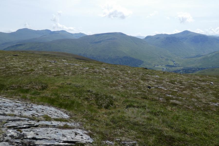
This is a fine mountain which offers fairly quick access and fine views in all directions including the Ben Lawers range, the Glen Lochay hills, the Glen Lyon hills and further. There is a good land rover track to just below the hill then a reasonable ATV track on to the summit ridge. All burns are crossed by bridges.
Route
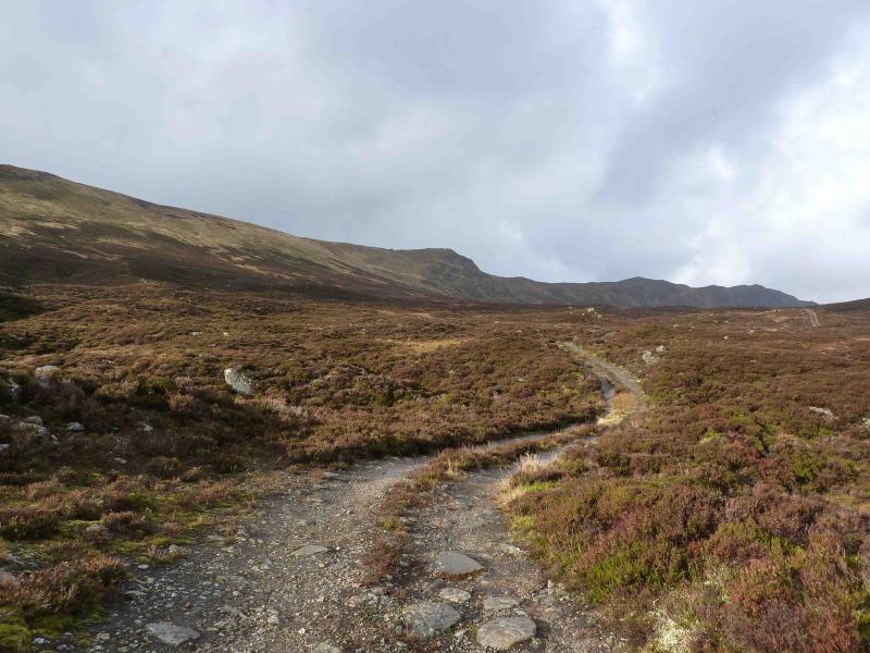
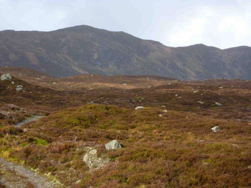
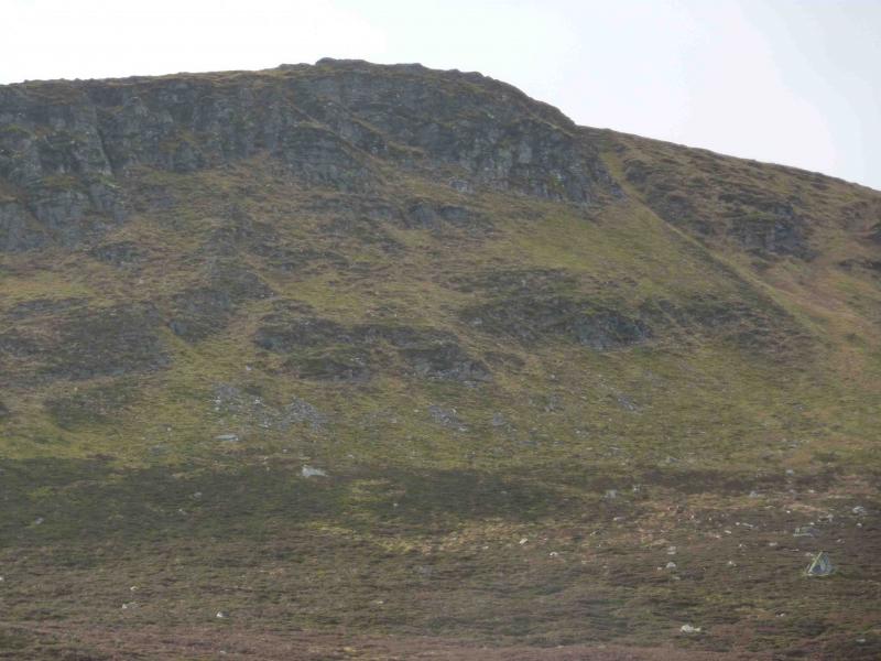
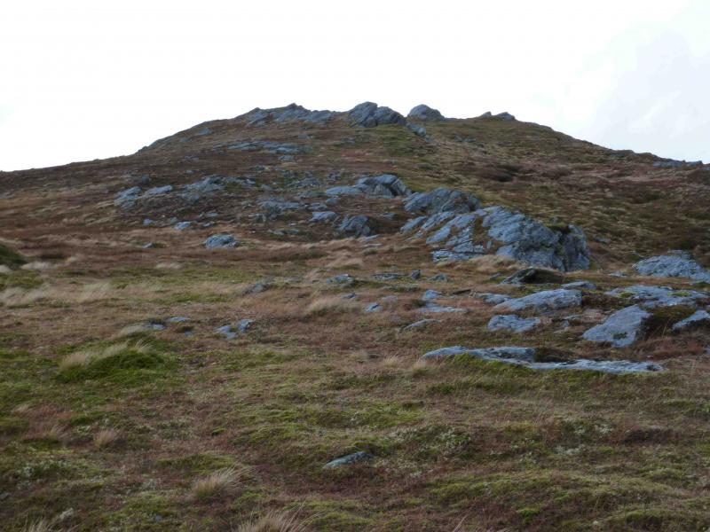
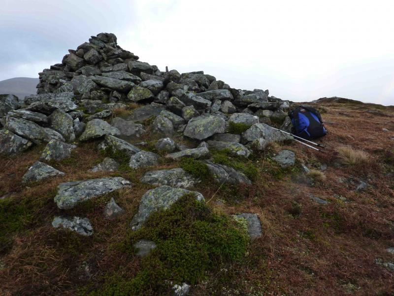
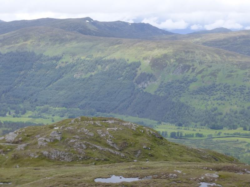
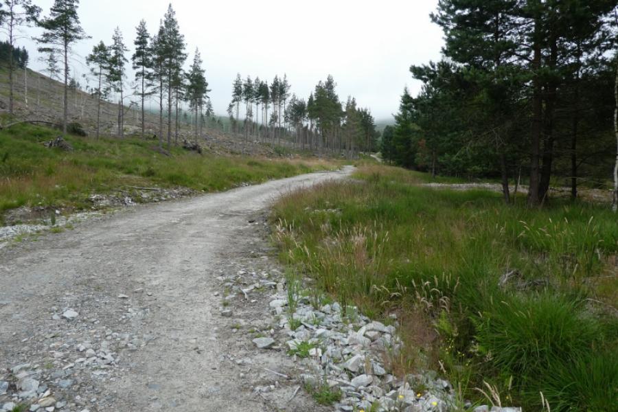
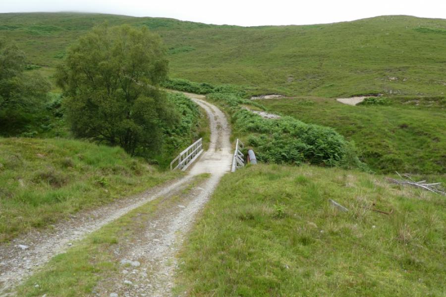
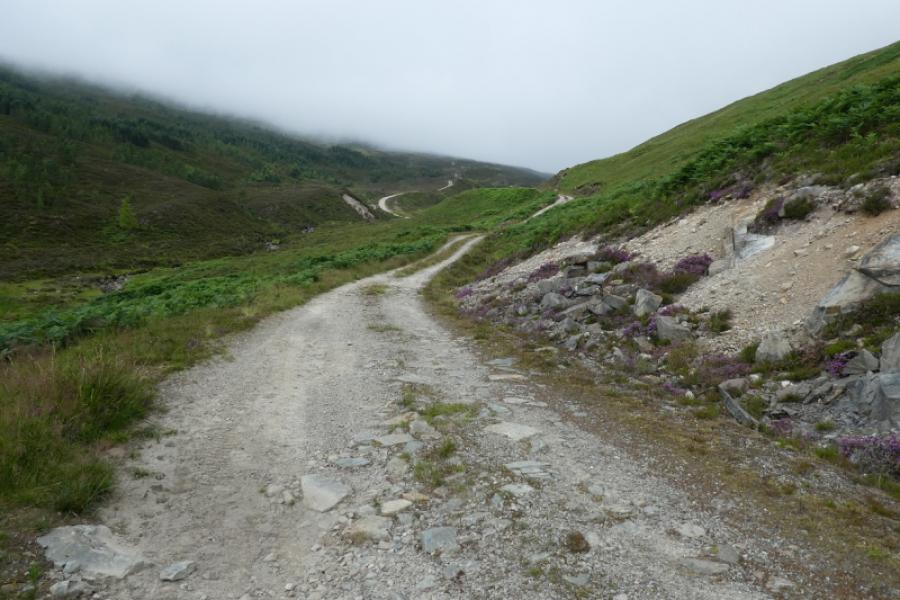
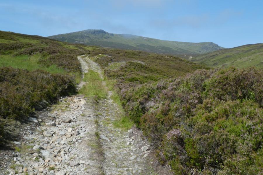
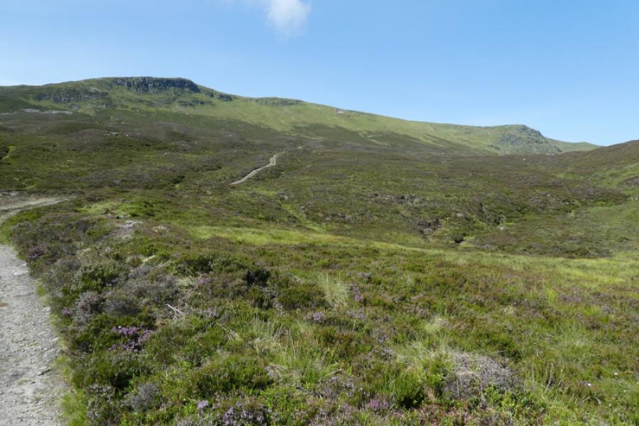
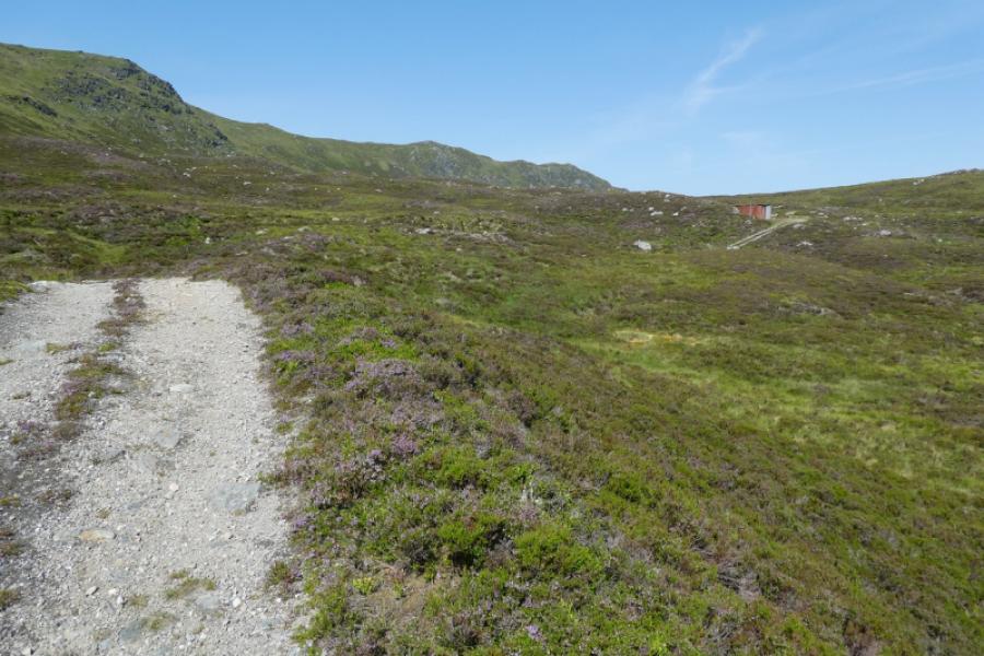
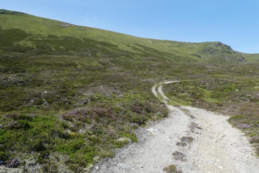
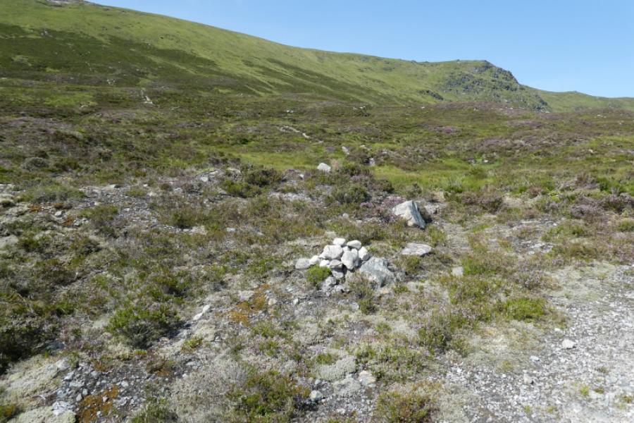
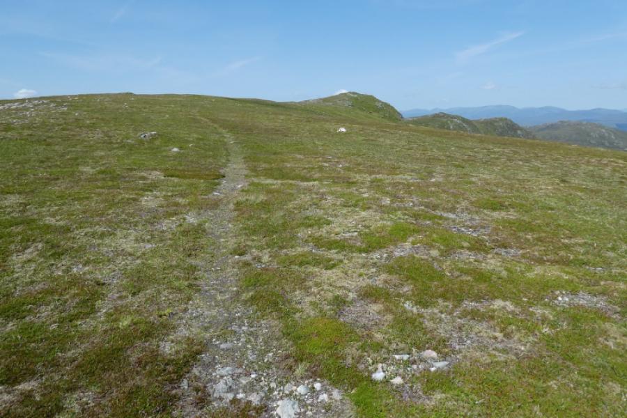
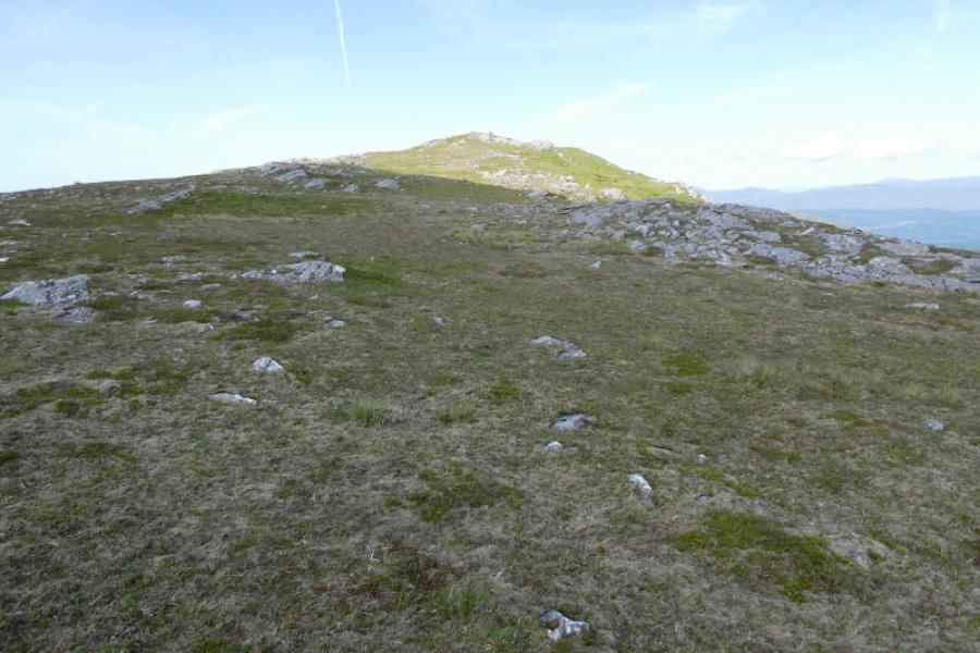
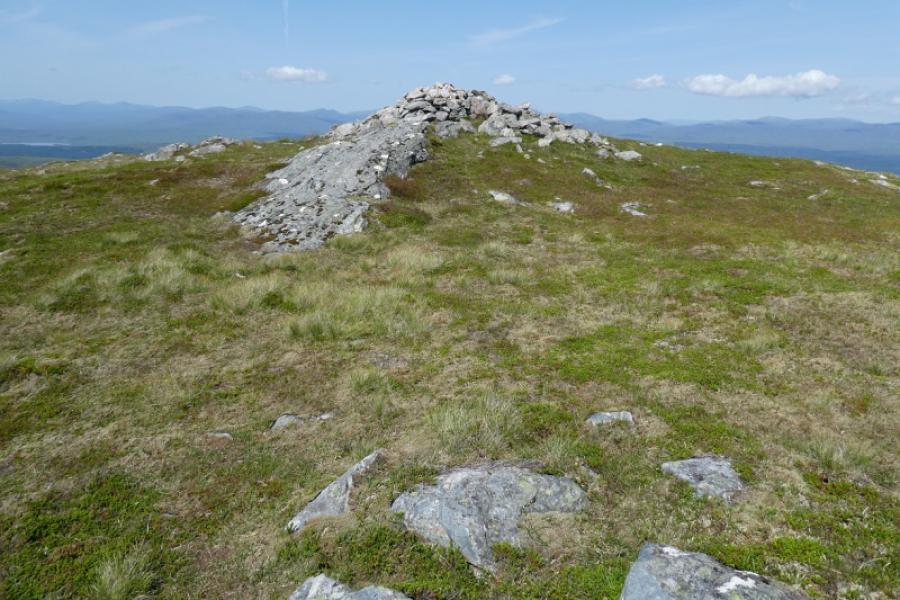
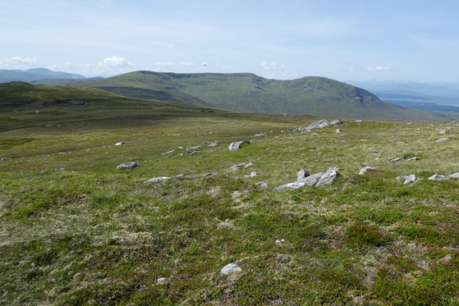
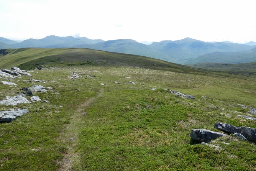
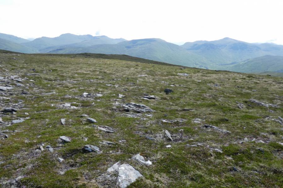
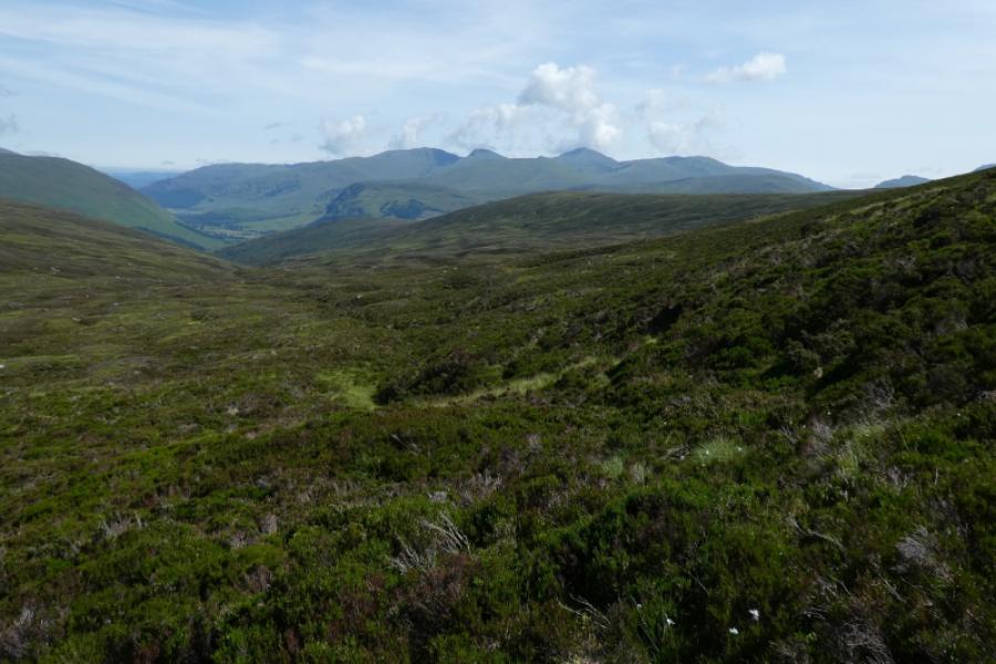
(1) From the car park, go around the barrier and walk up the track on the W side of the burn. Once past the forest, the track heads mainly W, climbing steadily. In clear weather, the long ridge of Cam Chreag will come into view. Most prominent is a top with crags facing the glen. This top connects, via a fairly level ridge, to a second top which is the actual summit. The track ends just past a corrugated iron hut. About 100 m before this hut, an ATV track heads upwards towards the ridge between the two tops. The track is easy to follow in its lower stages but is not so obvious higher up. Gain the ridge at a small marker cairn. Turn right, NNW, and follow a faint path to the medium summit cairn of Cam Chreag, 862 m.
(2) Return by the route of ascent.
Notes
(a) This walk took place on 2nd November, 2010, 5th August, 2008, 2nd November, 2010, & 30th July, 2021, when extra photos were added.
when extra photos were added.
Photos - Hover over photo for caption. Click on to enlarge. Click on again to reduce.