Get Lost Mountaineering
You are here: Scotland » 14 Loch Maree to Loch Broom and Garve » Letterewe & Fisherfield to Little Loch Broom
An Teallach full traverse from Corrie Hallie
An Teallach – full traverse from Corrie Hallie
Start/Finish
Car park at Corrie Hallie, NH 114 850, on the A832 road from Braemore Junction (with A 835 Ullapool to Inverness road) to Gairloch. Corrie Hallie is just over 2 miles before Dundonnell. There is a shop/cafe at Corrie Hallie. If staying at Dingwall, it is about 45 miles to Corrie Hallie.
Distance/Time
26 km. About 11 - 13 hours.
Peaks
Sail Liath, 954 m, NH 071 824.
Stob Cadha Gobhlach, 960 m, NH 068 825.
Corrag Buidhe, 1047 m, NH 064 834.
Lord Berkeley's Seat, 1030 m, NH 064 835.
Sgurr Fiona, 1060 m, NH 064 837.
Sgurr Creag an Eich, 1017 m, 055 838.
Glas Mheall Liath, 960 m, NH 077 840.
Bidean a' Ghlas Thuill, 1062 m, NH 068 843.
Glas Mheall Mor, 979 m, NH 076 853. OS sheet 19.
Introduction
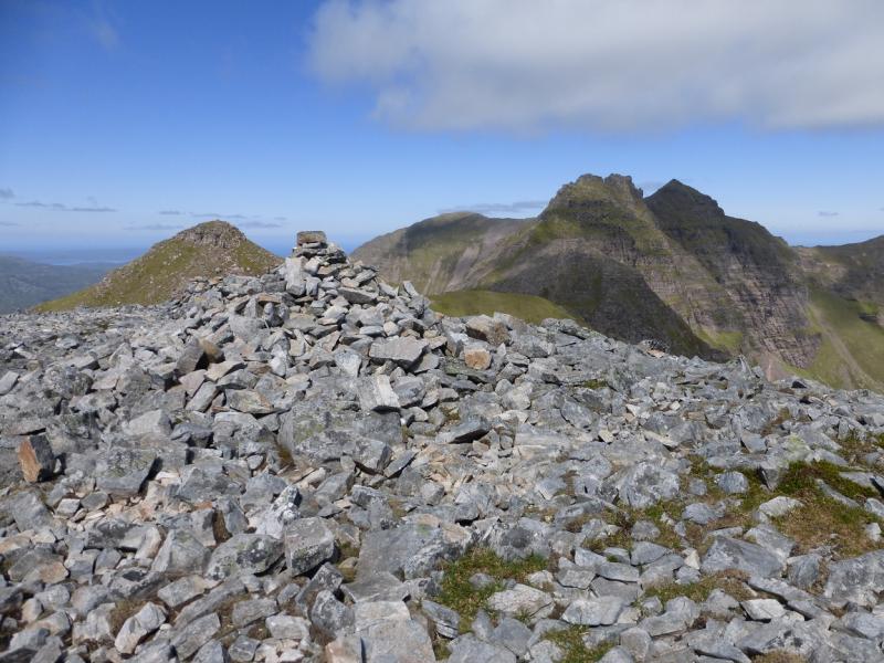
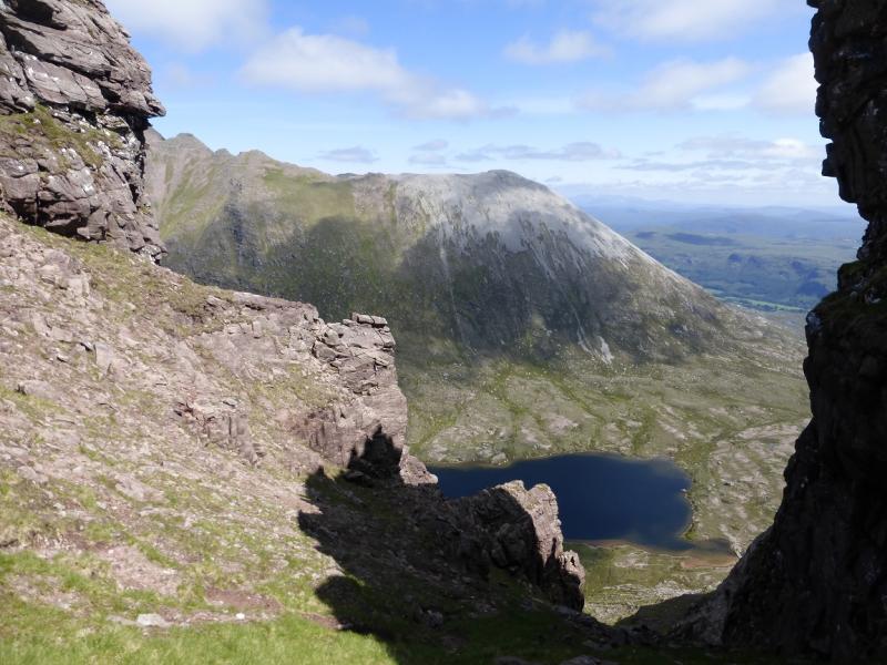
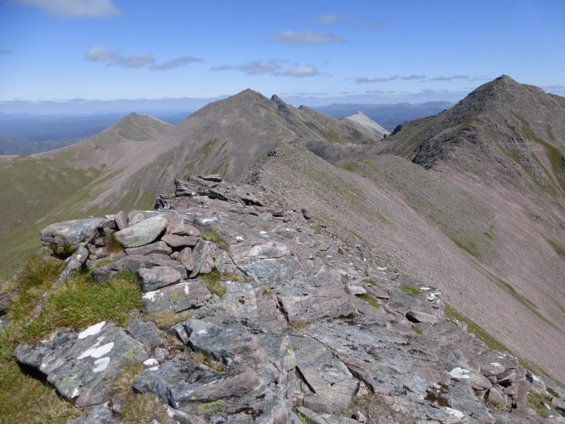
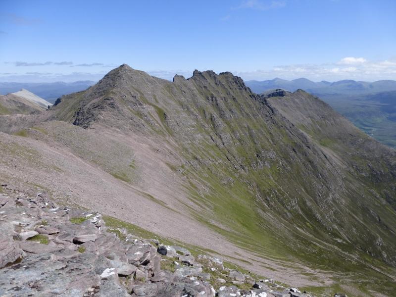
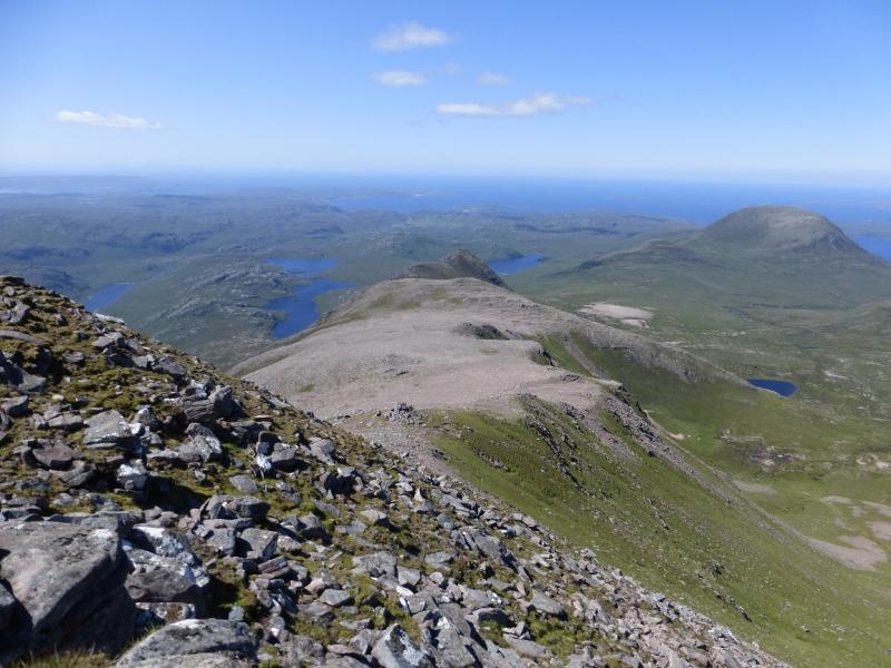
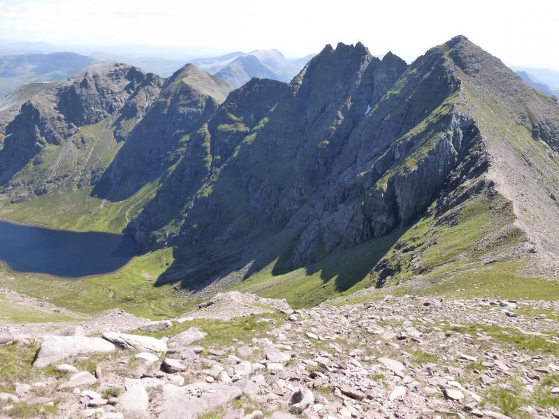
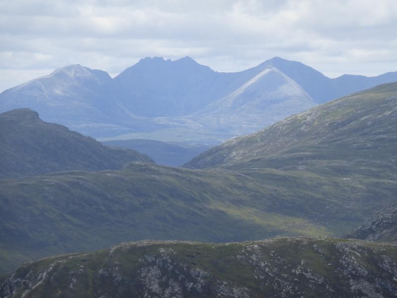
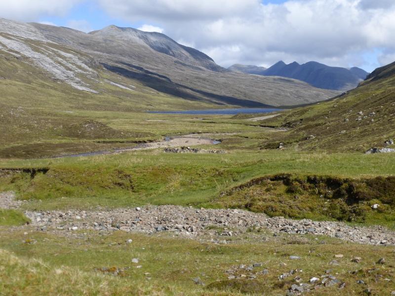
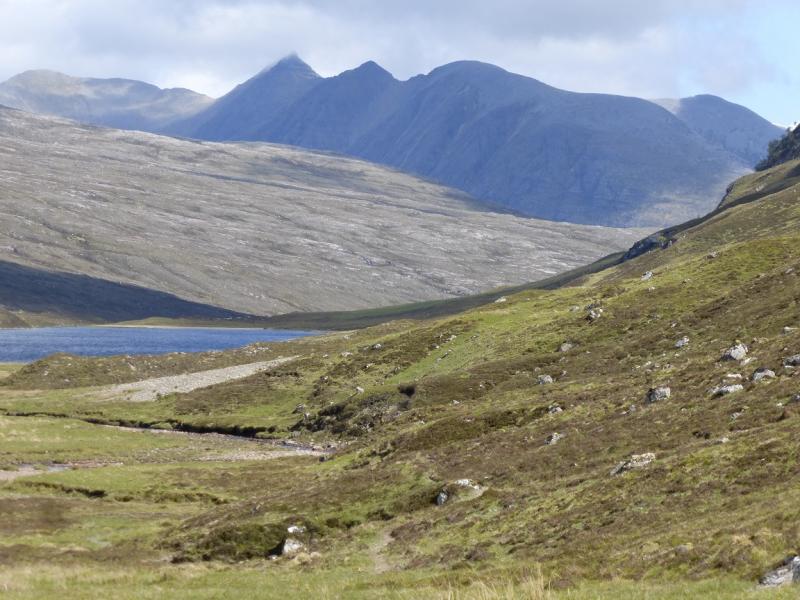
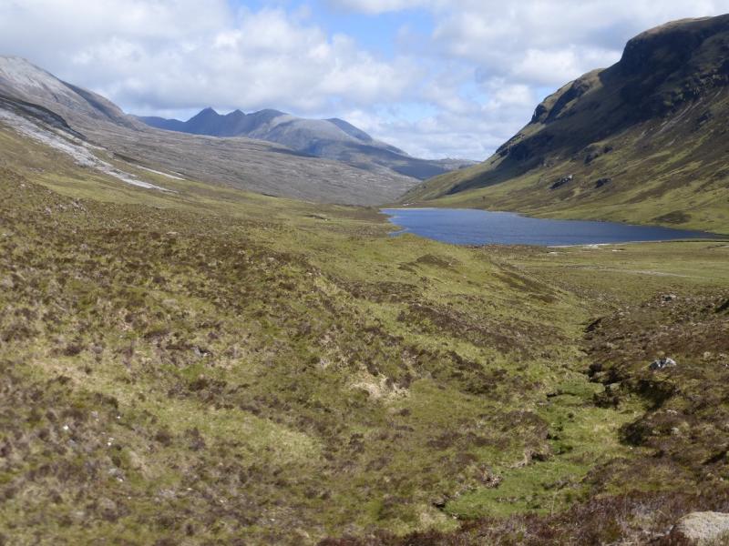
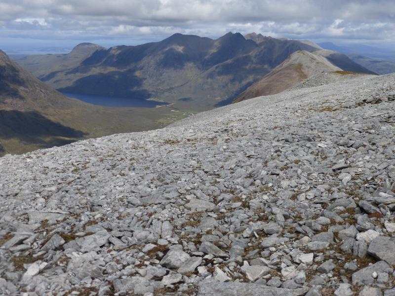
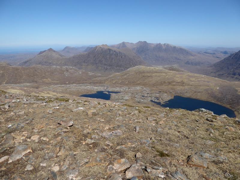
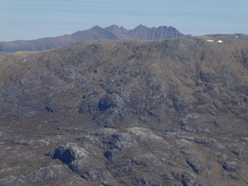
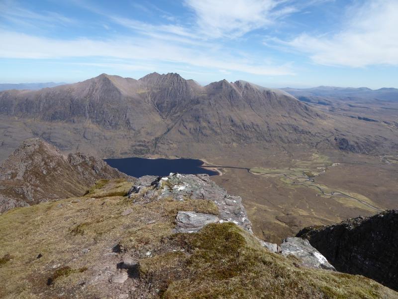
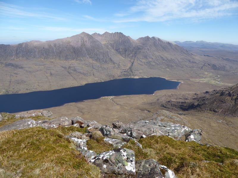
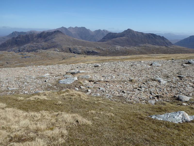
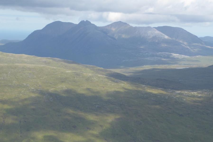
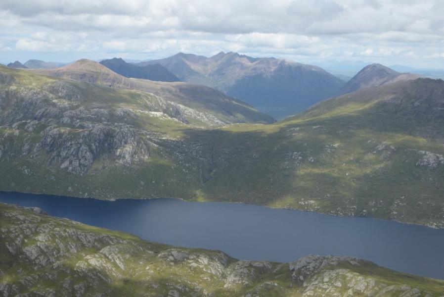
An Teallach is, arguably, the largest mountain in Scotland with 9 recognised summits (Munros Tables – SMC) plus several more unrecognised towers. It is a major undertaking to visit all 9 summits in a day as three of them lie off the main crest and add about 4 hours to the day. The traditional return has been to aim for the stalker's path which meets the road about 1 km north of Corrie Hallie. This path has often been reported as being severely overgrown by rhododendrons, just before the road, so it is strongly advised that this section is checked out before using it. For that reason, this route returns down the stalker's path to Dundonnell which means a 3.5 km walk back along the flat road – this is allowed for in the above distance and time. A bicycle or two cars could help here. There is much exposure on the Corrag Buidhe crest, which includes Lord Berkeley's Seat, with long precipitous drops on the north east side. On a clear, dry day with light winds, the Corrag Buidhe ridge should be within the capability of the average scramble. In wet and windy weather, most people will want to avoid it. It is not particularly difficult but the exposure can get to some people. There is an avoiding path just below the crest on the SW side for those who wish to leave the crest and there is another path much lower. Apart from the Corrag Buidhe crest, there are no real difficulties. On a clear day, the views are stupendous and include the Fisherfield mountains, Beinn Dearg group, Fannaichs and other parts of An Teallach itself not to mention the seascapes and lochs. The distances between the tops are not large but the going can be slow. The return route has two stream crossings which may be awkward after rain so save this walk for a dry spell.
Route
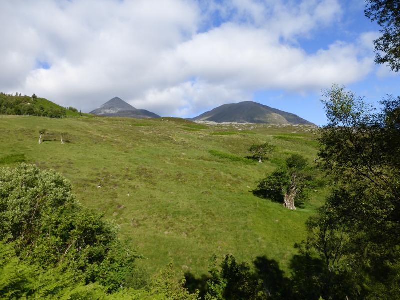
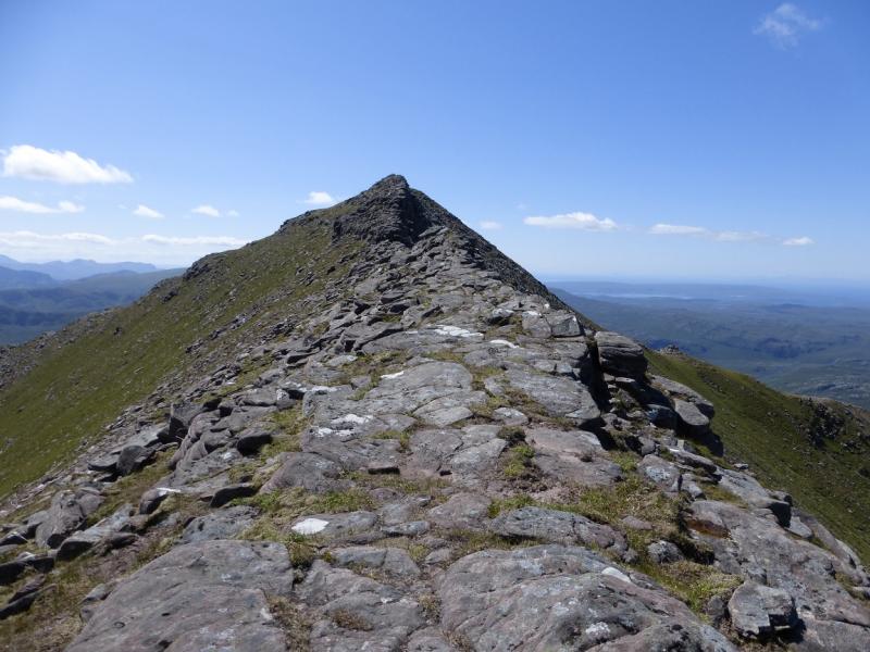
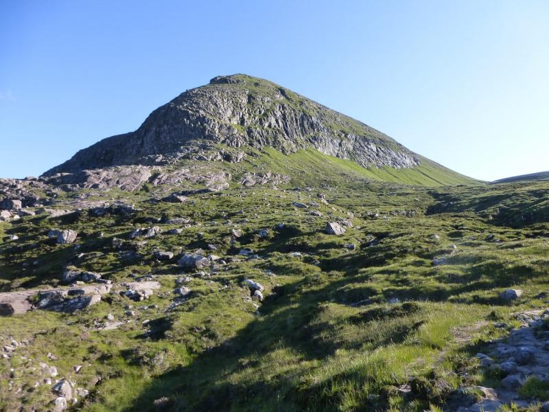
(1) Just to the S of Corrie Hallie a signed track ascends SW. Follow this up for about 3 km to where the path to Shenaval (no sign) forks right. The track crosses the river high up. If it is in spate, there is a footbridge about 100 m further upstream. Follow the Shenaval path. The SE ridge of Sail Liath should be obvious. Look for a path which leaves the Shenaval path and picks its way up the ridge. It is not particularly steep but good route finding is needed as there are some boulder fields. A few cairns help locate the best ascent route but is a hard pull. When the angle finally eases, continue NW on easier slopes to reach the medium cairn which marks the summit of Sail Liath, 954 m. An alternative ascent leaves the Shenaval path and goes to the lochan E of Sail Liath and ascend from there. There is a path but it is steep in places.
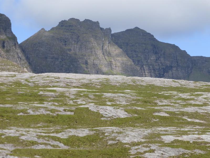
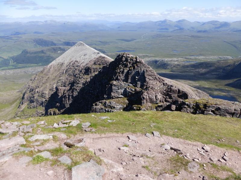
(2) Descend roughly WNW on an eroded winding path, which can be difficult to follow in mist, to reach a well defined bealach, then ascend the obvious path to reach the medium cairn which marks the summit of Stob Cadha Gobhlach, 960 m. From here the Corrag Buidhe buttress looms large.
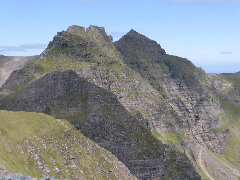
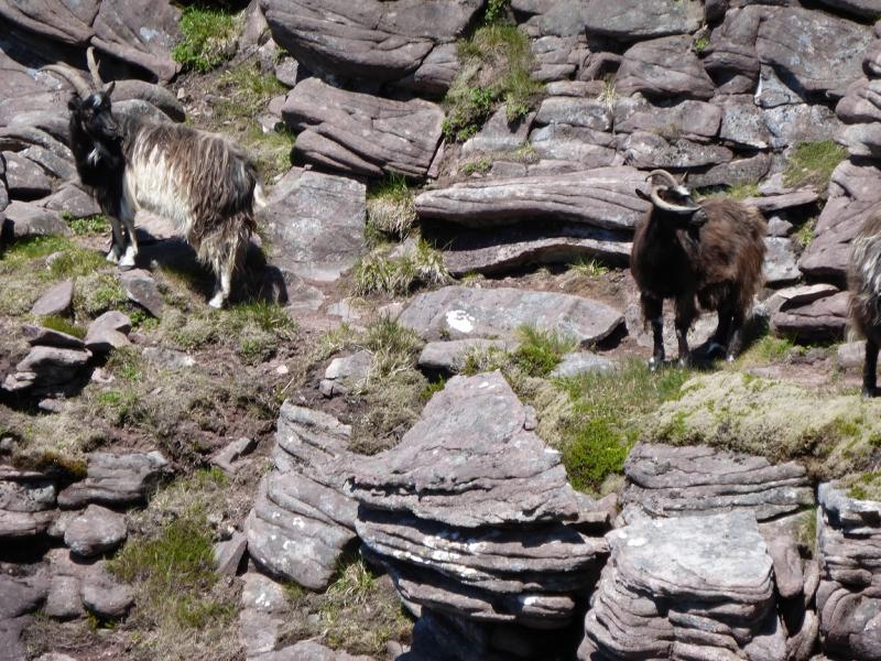
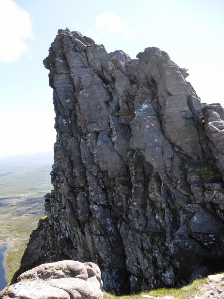
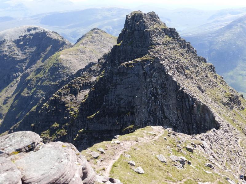
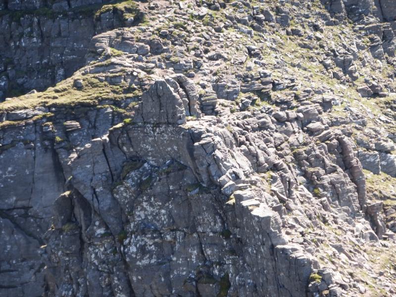
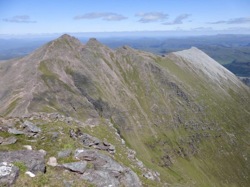
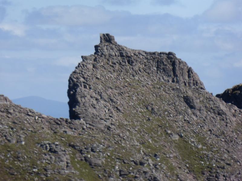
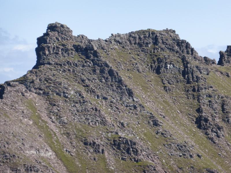
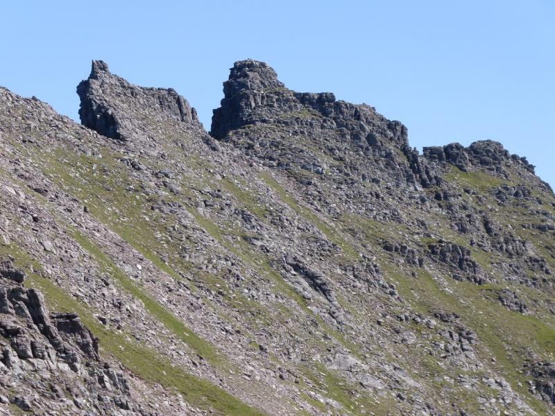
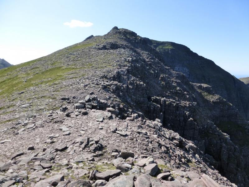
(3) Descend N on the obvious path to reach the well defined bealach below Corrag Buidhe Buttress. Only experienced climbers should attempt a direct ascent. Walkers can follow a traverse path on the W side. Once past the buttress, there are various ways up on to the crest but the further you traverse, the easier such routes look. The path itself does need the use of hands in a few places so take care as there are a few drops. Wild goats may be seen on this path. The path itself – this is the lower traverse path – bypasses all of the Corrag Buidhe crest then ascends to Sgurr Fiona, joining the crest just to the N of Lord Berkeley's Seat. Corrag Buidhe is the highest point on the rocky crest S of here and is the first tower S of Lord Berkeley's Seat. If coming at Corrag Buidhe from the S then there is a high level traverse path on the W side. If staying on the crest, there are sheer drops to the E so be careful. There is a slightly eroded ramp on the N side of Corrag Buidhe which is easily ascended followed by a short, easy scramble to the summit where a small cairn marks the summit of Corrag Buidhe, 1047 m.
(4) Retrace to the high level path and descend N, with care, to the bealach just before the next tower. It is fairly easy to reach the foot of the short upper part of this tower leaving about 3 m more to ascend. This is easiest on the S side with any difficulties being induced by the sheer drop to the E rather than the difficulty of the ascent. The top of this tower is flattish, no cairn, with enough room for 2 or 3 people to sit, and this is Lord Berkeley's Seat, 1030 m. If it has been approached from Corrag Buidhe, the full extent of the exposure may not be apparent but it is from the ascent of Sgurr Fiona. A fall off Lord Berkeley's Seat would almost certainly be fatal. If the lower traverse path has been followed to the crest to the S bealach of Sgurr Fiona then Lord Berkeley's Seat and Corrag Buidhe are close to the S easily accessible from here.
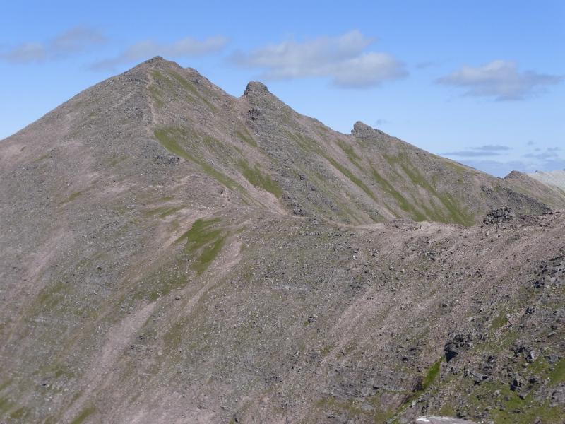
(5) Drop down to the traverse path and continue, without difficulties up Sgurr Fiona looking back at both Lord Berkeley's Seat and Corrag Buidhe. The path is steep in places but soon reaches the medium cairn which marks the summit of Sgurr Fiona, 1060 m.
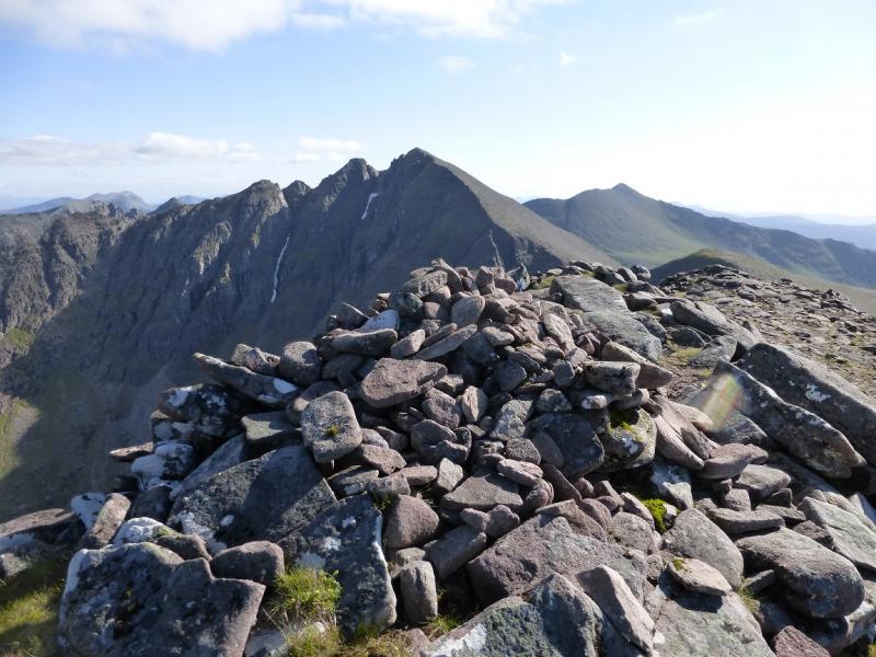
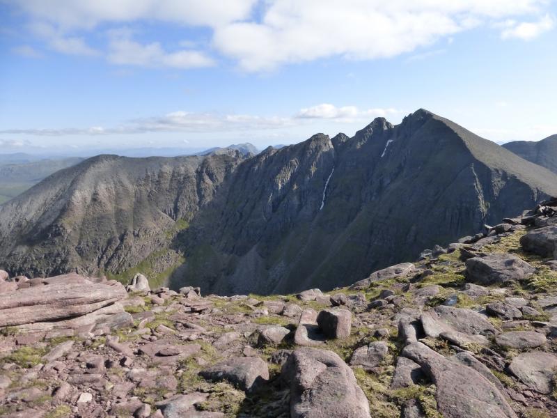
(6) Descend WNW, on a distinctive path, to reach a broad bealach. On the way, a distinctive traverse path will be seen going from above this bealach to the bealach below Bidean Ghlas Thuill. There is another fainter traverse path nearer the bealach which will be the path used when returning from the detour to the W top. From the bealach, head up the ridge ahead. There is a faint path on the left of the crest and which joins the crest further on. Once on the crest, continue easily to reach the small cairn which marks the summit of Sgurr Creag an Eich, 1017 m. From here, and on the return to the bealach, are some of the finest views of Lord Berkeley's Seat and Corrag Buidhe. This detour takes about an hour.
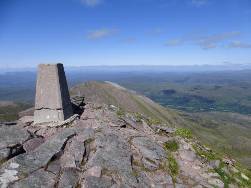
(7) Return to the bealach. Start ascending Sgurr Fiona but stay on the left to locate a faint path which traverses the W flank of Sgurr Fiona. Much further on, it joins the higher traverse path and soon reaches the bealach below Bidean Ghlas Thuill. Follow the obvious path up to reach the trig point which marks the summit of Bidean a' Ghlas Thuill, 1062 m.
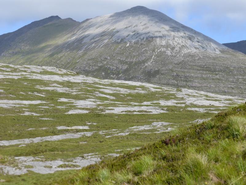
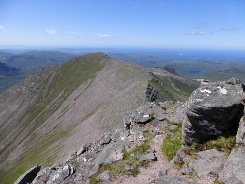
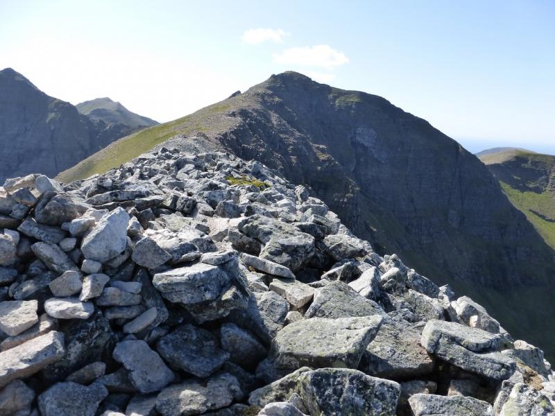
(8) In clear weather, Glas Mheall Liath lies ESE of the summit and is obvious as a white quartzite top. It is only 1 km but the going is not straight forward although there are no difficulties. Descend SE carefully to pick up a faint path. There are some large towers on the ridge which are easily passed to the S. The ridge is also deeply incut by steep rocky gullies. The path goes as far as the end of the sandstone but disappears when, near the low point, the rock suddenly turns to quartzite and the ridge effectively becomes a rough quartzite boulder field. Continue along the ridge. After a short ascent, a medium cairn is reached which marks the summit of Glas Mheall Liath, 960 m. This detour takes over an hour as there is no traverse path to avoid a re-ascent of Bidean Ghlas Thuill. If not visiting Glas Mheall Liath, descend N from Bidean Ghlas Thuill as described below.
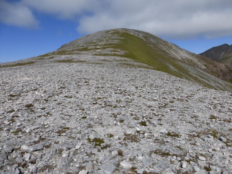
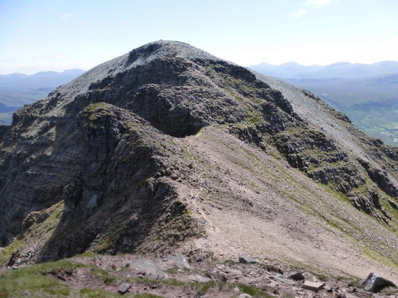
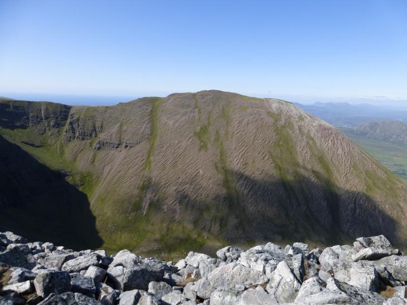
(9) Retrace to the summit of Bidean Ghlas Thuill. Descend roughly N on the obvious path. Lower down the general ground becomes very stony and the path is not so obvious. Reach the bealach then ascend N to the minor top directly ahead. It is possible to save a little climbing by going right before the top. Once on the crest, continue ENE for about 700 m, up the gentle but very stony ridge with the occasional easy step, to reach a small cairn which marks the summit of Glas Mheall Mor, 979 m. It can be a very slow 700 m because of the stony nature of the ridge. This detour adds about an hour. If not intending to visit Glas Mheall take the traverse path on the W side of the minor top then head NE into the shallow gully described below.
(10) To the N of Glas Mheall Mor is a gently sloping gully. There is a good path on the S side of the stream which will be easily spotted in clear weather. Resist the temptation to descend more directly, N or NE, as there are cliffs. It is easier to retrace W along the crest but keep to the right then pick a way, easily over stony ground, to a sizeable cairn. From here, follow the path down on the S side of the stream. The path is easy to follow and walk until it reaches a grassy area where it is harder to follow but seems to lie over to the right. Follow the path, now boggy in places, which crosses the main burn lower down. This will be awkward in a wet spell. Once across the path is fairly easy to follow but there are a few small cairns to help. Some flat slabs are crossed. Lower down, the stalker's path shown on the map is joined. This is now quite rough and eroded but does lead down to Dundonnell by a farm. From here is a 3.5 km level walk back to Corrie Hallie.
Notes
(a) This walk took place on 27th May, 1992, 25th July 2003, and 26th June, 2014. In 1992, Corrag Buidhe Buttress, 945 m, was counted as a Munro Top but has now been deleted.
(b) Omitting the detours to Sgurr Creag an Eich, Glas Mheall Liath and Glas Mheall Mor saves 3 – 4 hours. By passing Corrag Buidhe and Lord Berkeley's Seat can save another hour.
(c) If you don't mind the driving, Dingwall Camping and Caravanning Club site is well placed for access to Glen Arric, Loch Mullardoch, Glen Strathfarrar, Strathconon, Ben Wyvis, Achnasheen, Kinlochewe. Fannaichs, Loch Glascarnoch, Beinn Dearg range and lower hills on the coast. The site is virtually midge free. It pays to be a member otherwise there are surcharges. There is an over 50's discount outside of the High Season. Electrical hook ups are possible for campers. Dingwall has a 24 hour Tesco.
Photos - Hover over photo for caption. Click on to enlarge. Click on again to reduce.