Get Lost Mountaineering
You are here: Scotland » 10b Loch Eil to Glen Shiel » Loch Lochy to Loch Quoich & Glen Dessary
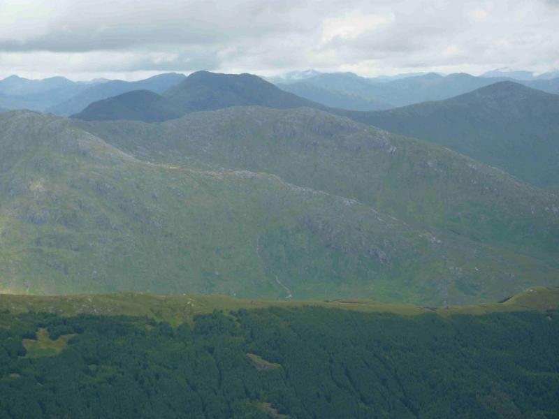
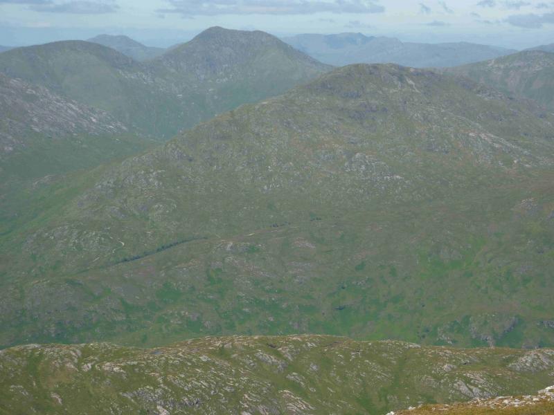
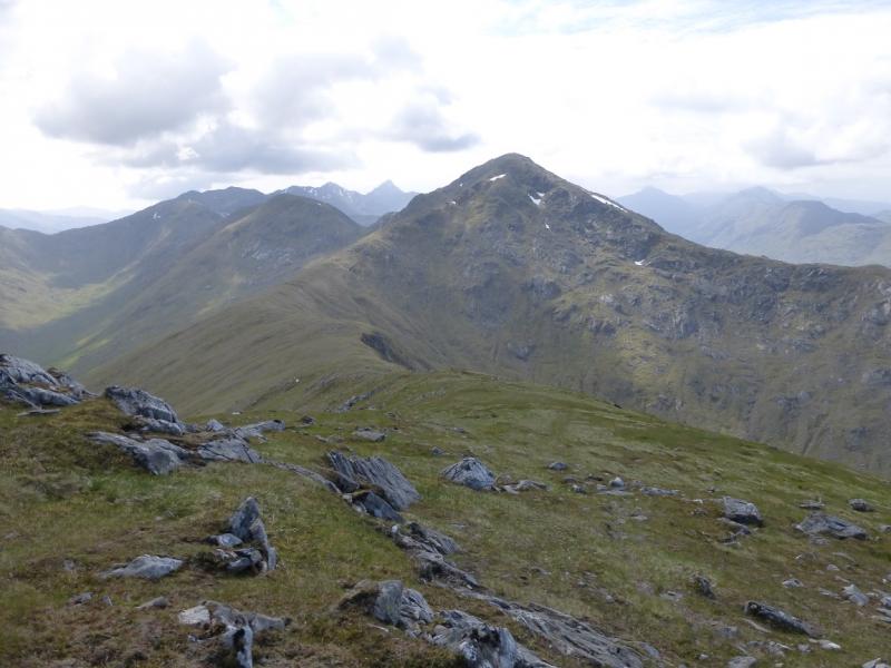
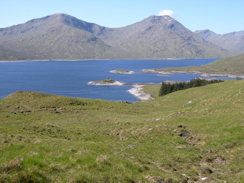
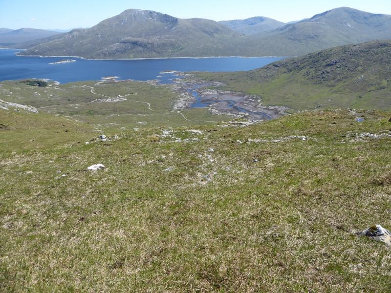
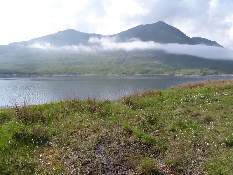
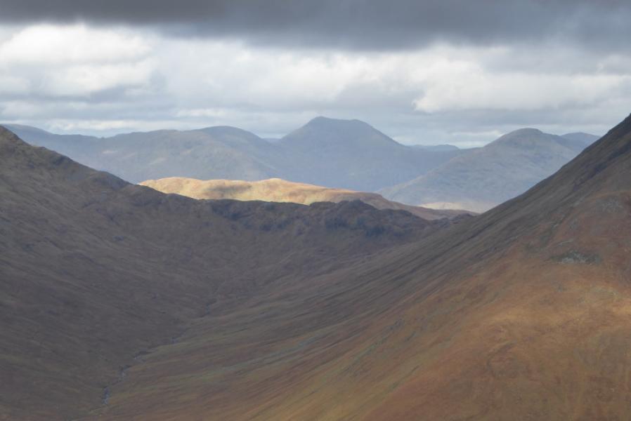
Sgurr Mor & Sgurr an Fhuarain
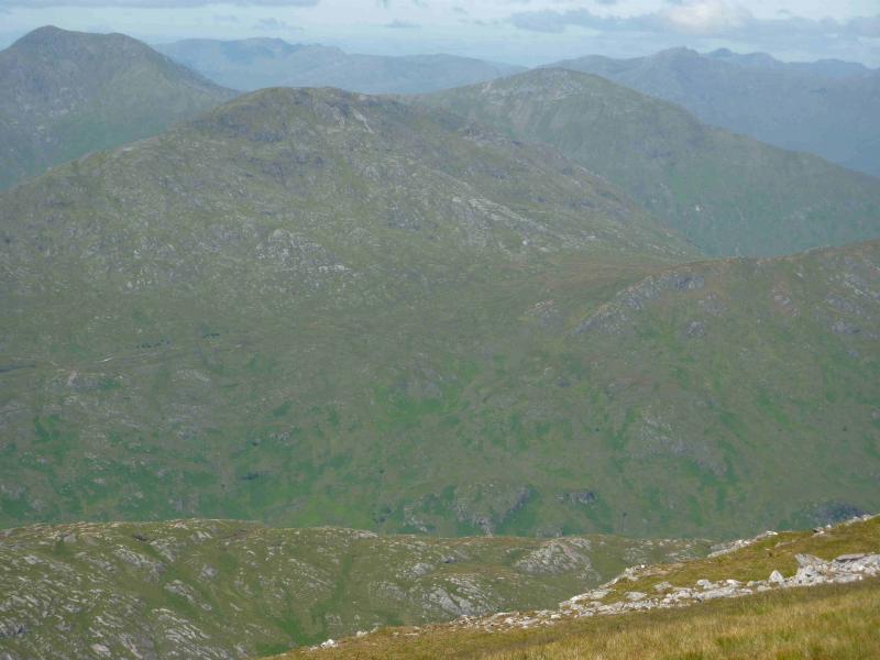
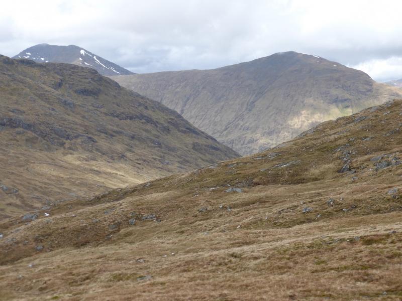
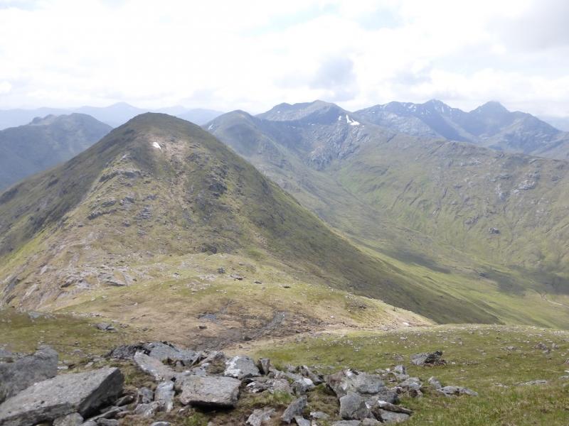
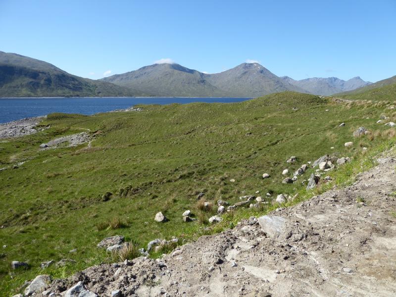
Sgurr Mor & Sgurr an Fhuarain from far end of Loch Arkaig
Start/Finish
The end of the public road at the far end of Loch Arkaig. This is a long drive (40+ minutes) from Spean Bridge via Gairlochy. The road by the loch is single tracked and narrow with many blind bends and summits. Be prepared to reverse some distance if another vehicle is encountered. If pulling a trailer or caravan, make sure you can reverse with that as well. The parking space used to be quite limited but there is now a car park for 17 cars. You may still need to arrive early to be sure of a place though as the previous parking options on the verges have been blocked off. On 6/5/14, substantial timber clearing was taking place in Glen Pean which meant that long and very heavy timber wagons were driving the full length of this road and wrecking it. In places, half the road is missing. At the current rate of destruction, parts of the road may soon become impassable to cars. The Loch Arkaig road is bad enough when in good repair but is now awful. Taking one's car down Loch Arkaig is now probably the driving equivalent of self-flagellation!!!
Distance/Time
22 km. About 9 - 10 hours.
Peaks
Sgurr Beag, 890 m, NM 959 971.
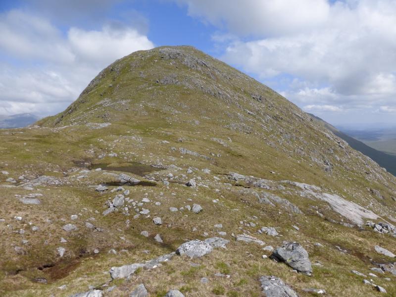
Sgurr Mor, 1003 m, NM 965 980.
Sgurr an Fhuarain, 901 m, NM 987 979. OS sheet 33.
Introduction
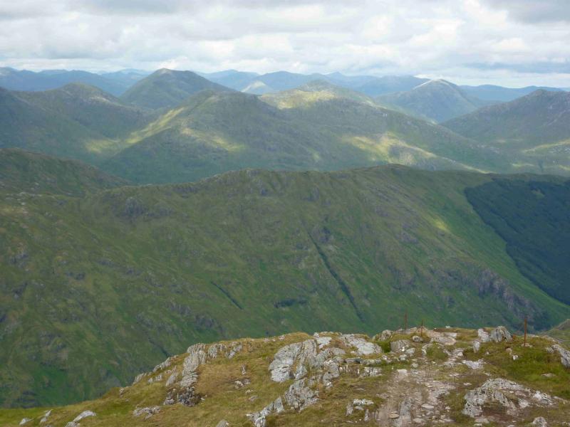
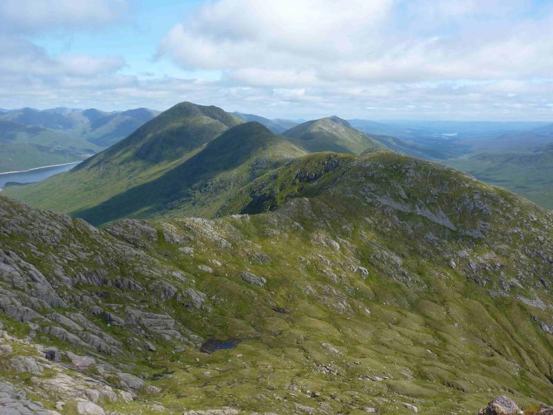
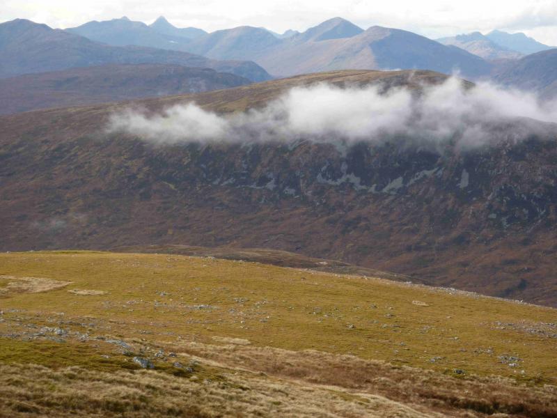
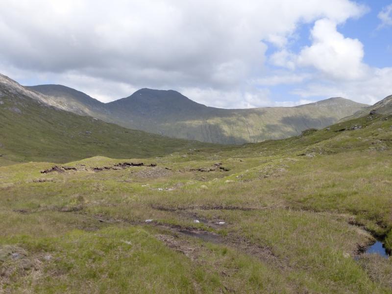
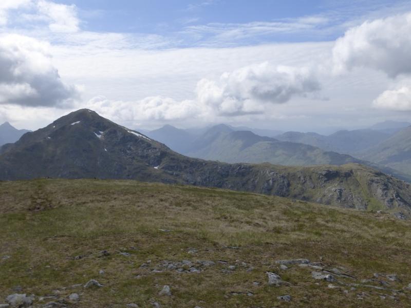
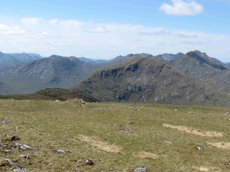
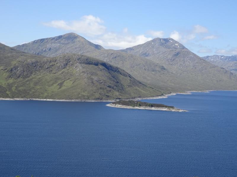
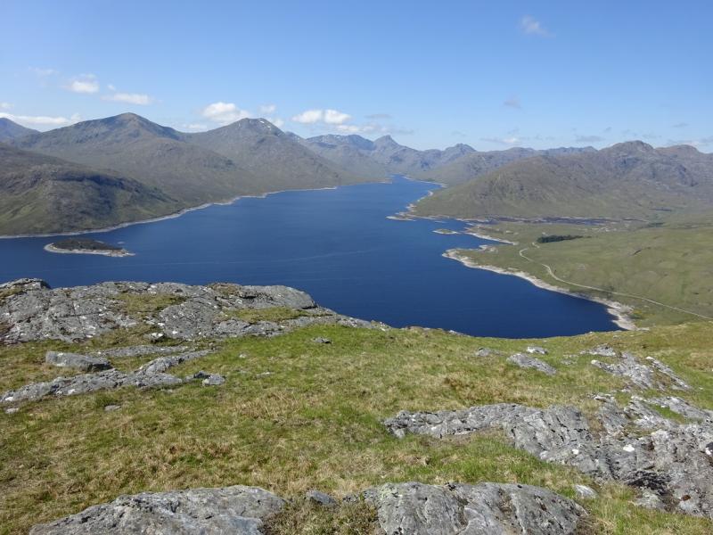
These are hard to reach hills and require some considerable effort to climb them although there are no technical difficulties. Views are excellent. Gulvain, Streap, Sgurr Thuilm and Sgurr nan Coireachan (Corryhully) are well seen to the south, Gairich is well seen to the east, Sgurr nan Coireachan (Glen Dessary), Garbh Chioch Mhor, Sgurr na Ciche, Ben Aden & Sgurr a' Choire-bheithe are well seen to the west whilst Sgurr nan Eugallt, Sgurr a' Mhaoraich, Gleouriach and Spidean Mialach are well seen to the north. Save this walk for a clear day. On a very clear day, expect to see the Knoydart peaks and Ben Nevis. After heavy rain, crossing the River Kingie can be a problem and may require a detour upstream. This route detours upstream any way to make use of the good stalker's path up Sgurr Beag so the river crossing after descending from Sgurr an Fhuarain should be able to be assessed on the outward route.
Route
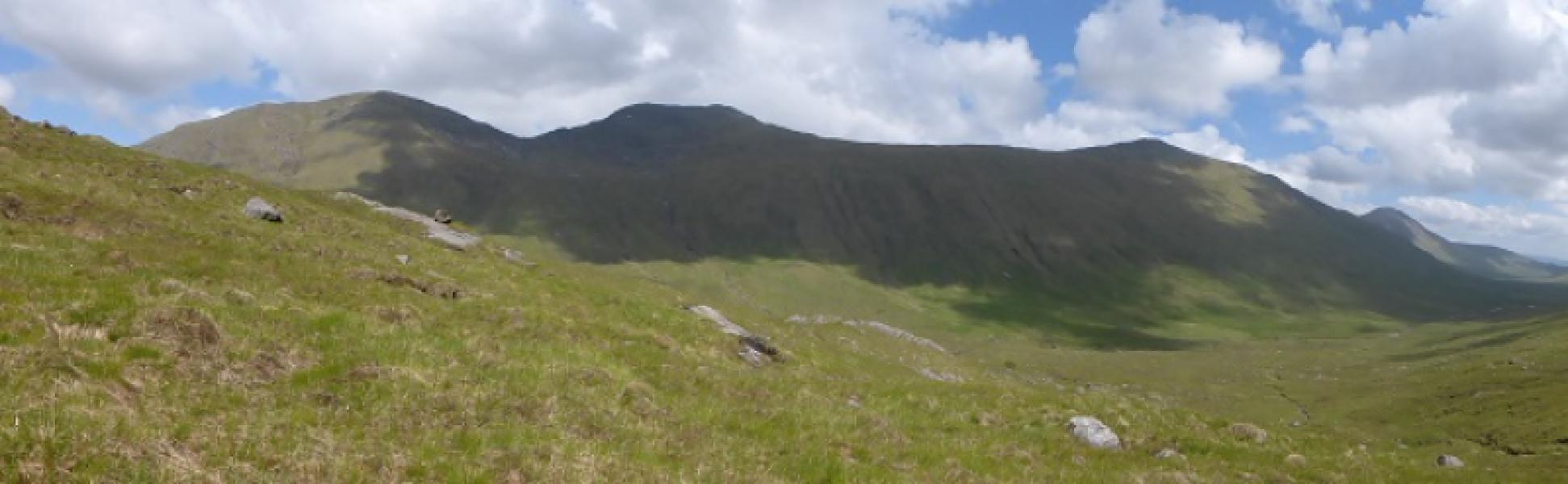
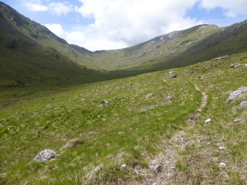
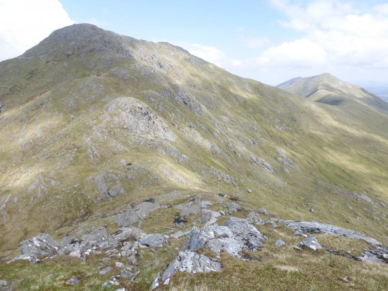
(1) From the end of Loch Arkaig, walk or cycle, for about 2 km, to the bridge where an old right of way goes over to Glen Kingie. There is another bridge soon after. Follow the ATV track before the first of the two bridges. This is boggy in places but easier to follow than the old stalkers' path. At the top of the pass, descend gently NW towards upper Glen Kingie, contouring where possible to conserve height. Reach the River Kingie and cross over to reach the path on its N side. Follow this W. It soon starts to climb and zig-zags up to the crest. Continue NW to reach the summit of Sgurr Beag, 890 m. There is no cairn but some obvious rocks.
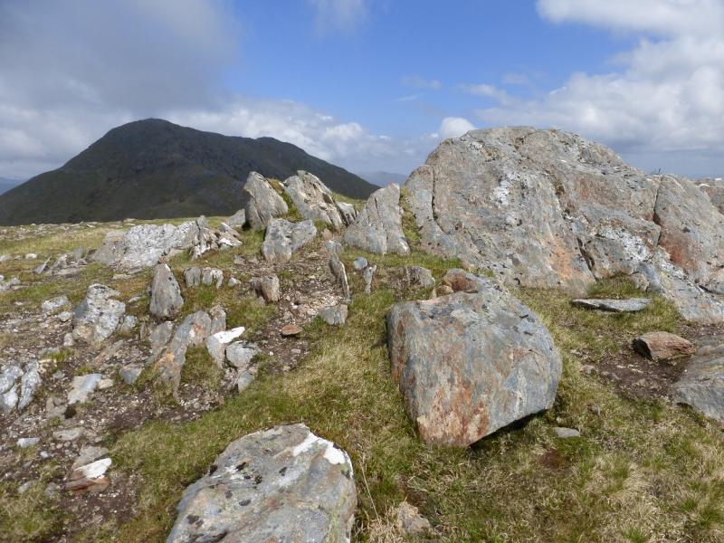
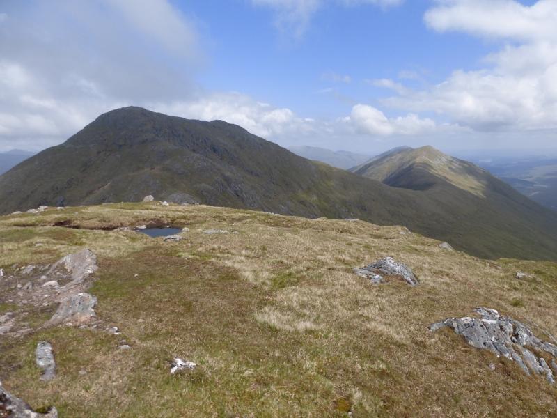
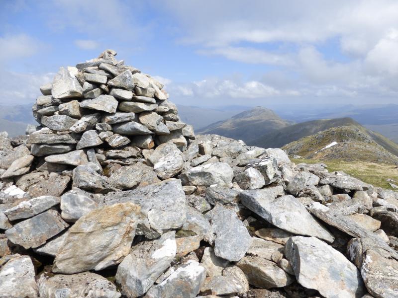
(2) Continue on the path, descending NE to a deep bealach. Ascend the other side with the path leading up to the large cairn which marks the summit of Sgurr Mor, 1003 m.
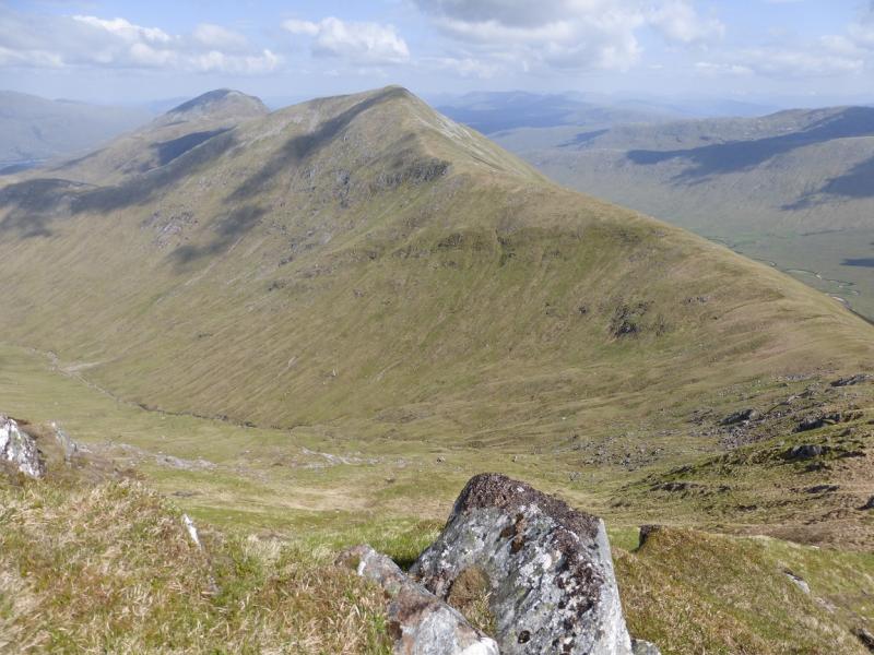
(3) Continue on the path, descending SE on a well defined ridge to reach a low point then continue up to reach a medium cairn and trig point which mark the summit of Sgurr an Fhuarain, 901 m.
(4) Retrace to the low point then descend steep grassy slopes – no obvious path – to Glen Kingie. Cross the river the ascend back over the pass to Glen Dessary and then to the end of Loch Arkaig.
Notes
(a) This walk took place on 30th May, 2014.
(b) It is marginal as to whether using a bicycle saves time as only about 4 km of the route can be cycled.
(c) On 14th April. 1993, Sgurr Mor, alone, was ascended using the route described above.
(d) On 28th July, 2003, Sgurr an Fhuarain was ascended by the above descent route. The ridge was walked to Sgurr Mor then reversed to the low point and descended directly to Glen Kingie.
Photos - Hover over photo for caption. Click on to enlarge. Click on again to reduce.