Get Lost Mountaineering
You are here: Scotland » 10b Loch Eil to Glen Shiel » South of Loch Morar & Loch Arkaig
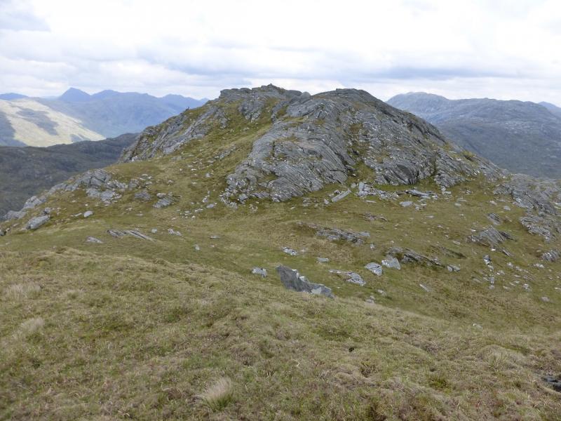
Meith Bheinn
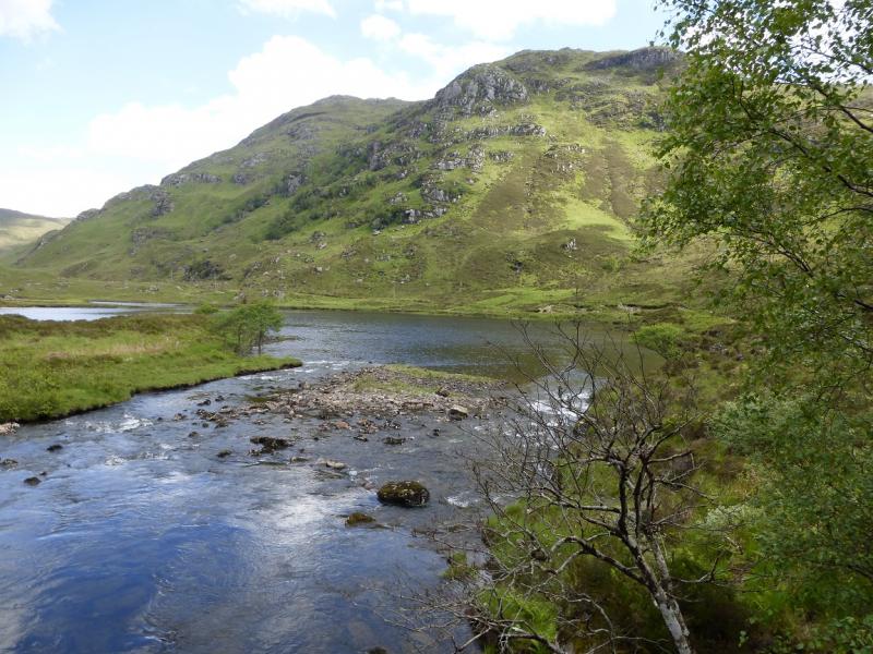
Meith Bheinn from near Arieniskill at west end of Loch Eilt
Start/Finish
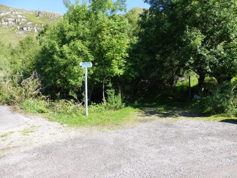
Lay by just past Lochan Dubh which is just past the west end of Loch Eilt on the A830 road from Fort William to Mallaig. This is about 8 miles west of Glenfinnan. The lay by is just after the start of the path which is signed just off the right of the road going west.
Distance/Time
16 km. About 8 hours.
Peaks
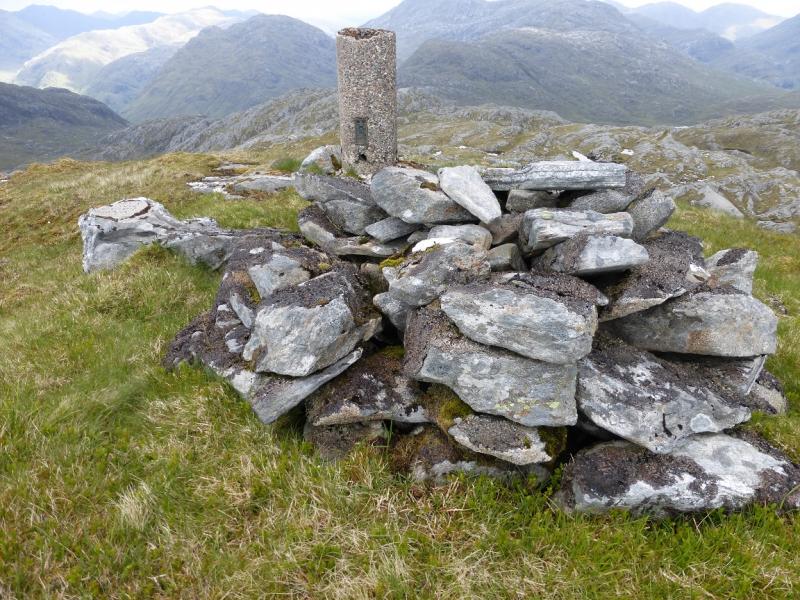
Meith Bheinn, 710 m, NM 821 872. OS sheet 40.
Introduction
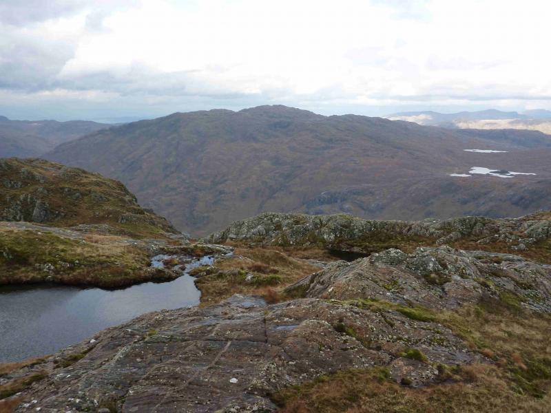
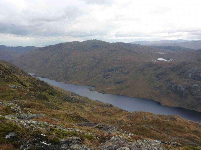
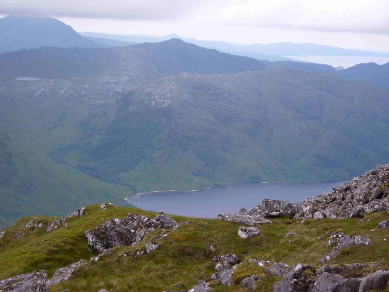
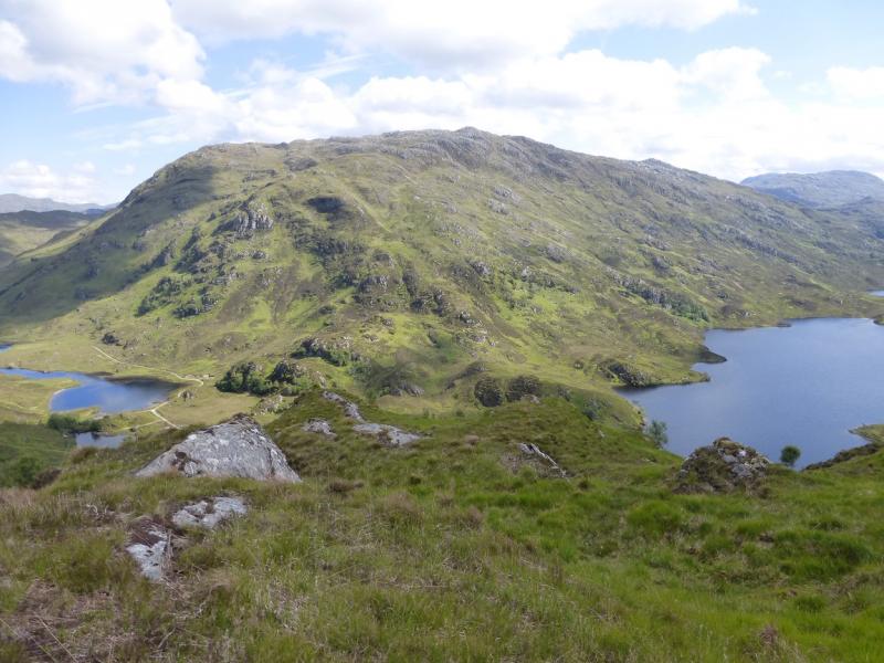
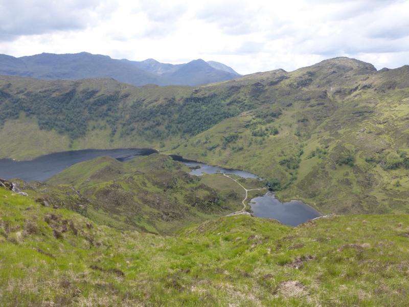
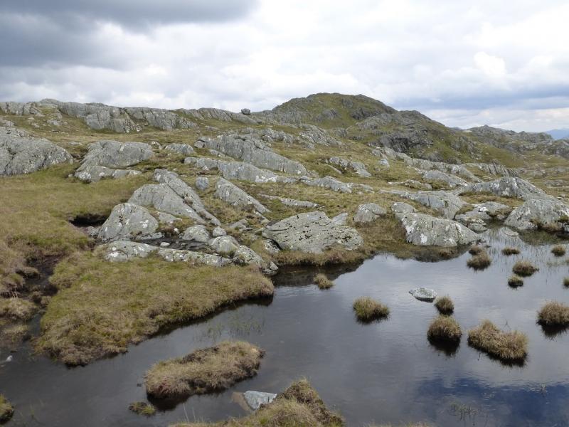
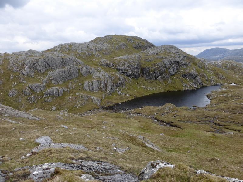
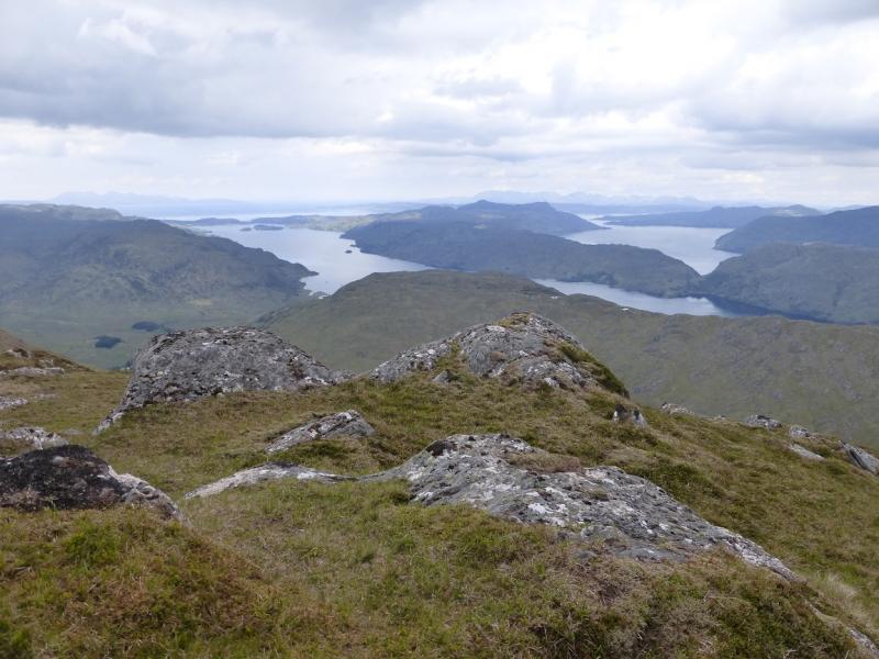
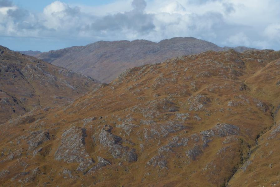
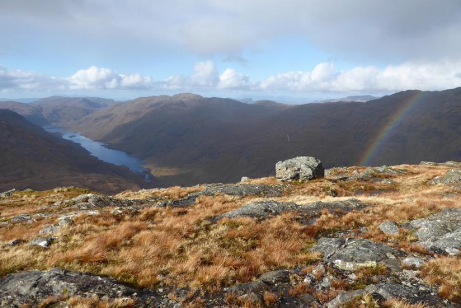
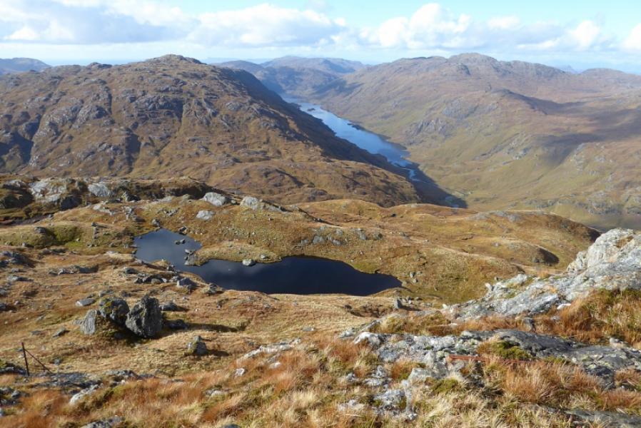
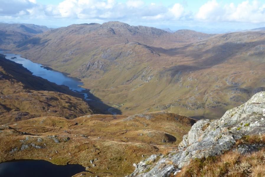
This is a tough walk to a fairly inaccessible mountain. Much of the route is pathless and the only stalker's path used can be difficult to follow. An intervening ridge has to be crossed adding about 250 m of extra climbing both ways. Excellent views in all directions including the far Glen Dessary hills, An Stac, Sgurr an Utha, Glas-charn, the Rois-bheinn range and even Ben Nevis not to mention the seascapes and islands including Eigg, Rum and Skye. This mountain would be very difficult to navigate in mist so is best kept for a clear day when navigation will be straightforward and views outstanding. Note that ferns may be a problem in the summer.
Route
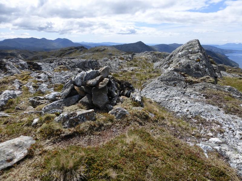
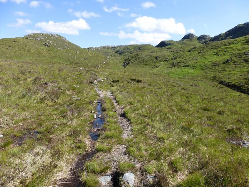
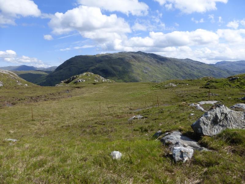
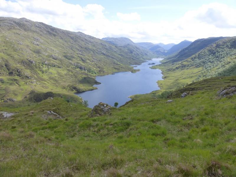
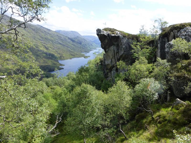
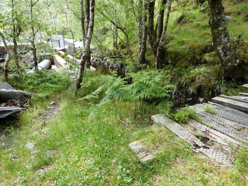
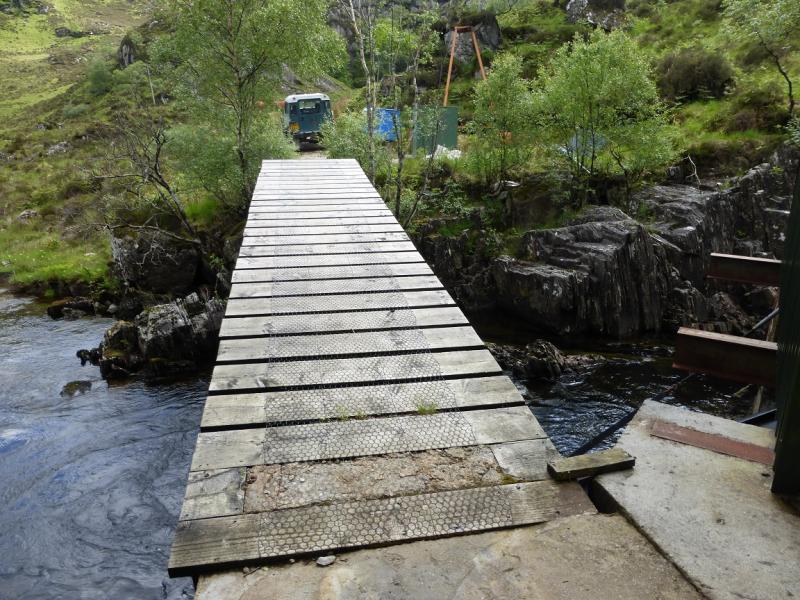
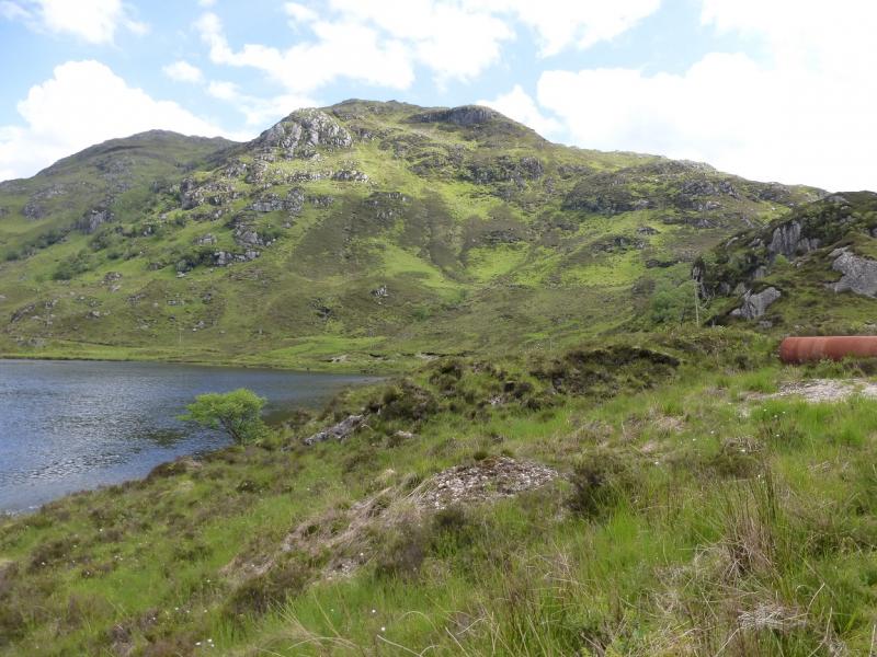
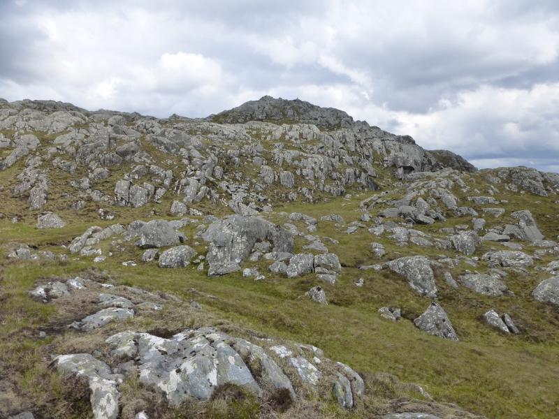
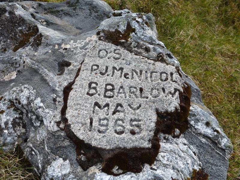
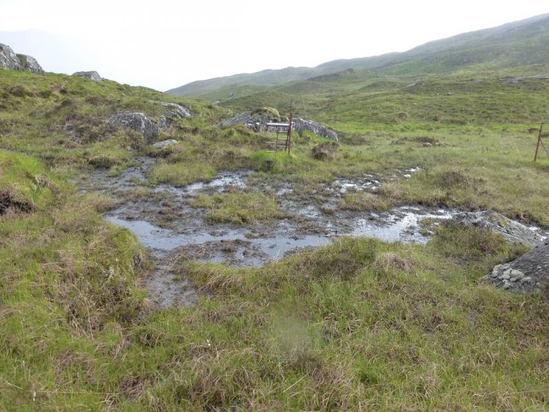
(1) Walk E back along the A 830 for about 200 m to the start of the path up the Allt na Criche. Almost immediately, pass under a railway bridge. Note that the stream being followed initially is not the Allt na Criche so do not be tempted to leave the obvious path which soon reaches the Allt na Criche. Follow the path, boggy in places, up the Allt na Criche. When the path splits, at a cairn, take the right hand path and continue following the Allt na Criche. The direction is virtually due N and the burn is soon crossed then left. The path can be difficult to follow in places. A line of old fence posts is crossed. The path crosses these at an old metal stile so try and find this as it helps later on. Reach the highest point of the path. Continue N, hopefully on the path, and head towards the wood of scattered birch trees. On the edge of this is a prominent crag with a distinctive overhang. The path is about 30 m to its left, W, and slightly higher. Follow the faint path across the top part of the wood and cross the stream on the far side of the wood. Try to resist the temptation to descend through the wood as it is not as easy as it may look. Once across the stream, the path is even fainter but the ground is relatively kind. One can either continue N then descend towards the outflow of Loch Beoraid by the next stream or one can descend by the stream just crossed. Lower down, on either route, a more distinctive path will be found lower down which leads towards the hydro power station by the outflow of Loch Beoraid. A rickety bridge is crossed just before the building then a better one, although it has no hand rail, just after. This leads to a track which soon joins the main track from Meoble to Loch Beoraid. Follow the track, N, towards Meoble. Look for a possible route up the steep W flank of Meith Bheinn. A good place to start seems to by a rough gravel area not far along the track. Carefully, pick a way up the steep slopes which are grassy and heathery with some crags. Ferns populate the lower slopes in summer. Aim for the crest of the ridge which seems to be well set back then pick a way up it. The summit area of Meith Bheinn will not be seen until well up the ridge. As height is gained, the angle eases and a scattering of sizeable lochans will be seen to the E. A gap containing a lochan will be crossed below the final climb to the summit. A small cairn and an old trig point mark the summit of Meith Bheinn, 710 m.
(2) Return by the outward route. It is sensible to go a little further down the SW ridge before descending to the hydro track but do not go too far as there a re large crags which are not shown on the 1989 map. This will avoid too steep a descent to the track.
Notes
(a) This walk took place on 30th May, 2004, and 27th May, 2014.
Photos - Hover over photo for caption. Click on to enlarge. Click on again to reduce.