Get Lost Mountaineering
You are here: Scotland » 10b Loch Eil to Glen Shiel » South of Loch Morar & Loch Arkaig
Streap & Streap Comhlaidh via Beinn an Tuim & Gleann Dubh Lighe
Streap & Streap Comhlaidh via Beinn an Tuim & Gleann Dubh Lighe from near Craigag
Start/Finish
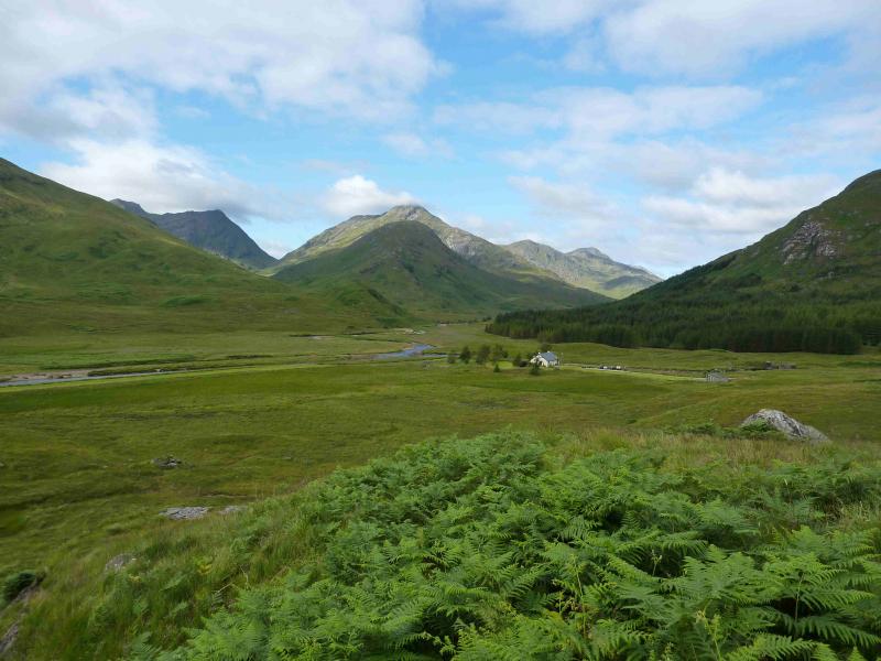
Takethe A830 road towards Mallaig from the T Junction near the Ben Nevis Distillery on the northern edge of Fort William. About 2 miles after the the junction with the A861 at the end of Loch Eil, there is a sign for the Craigag car park which is on the right of the road and up a short track. There is room for several cars.
Distance/Time
17 km. About 8 hours
Peaks
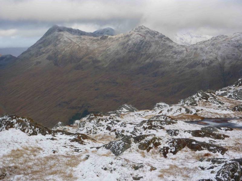
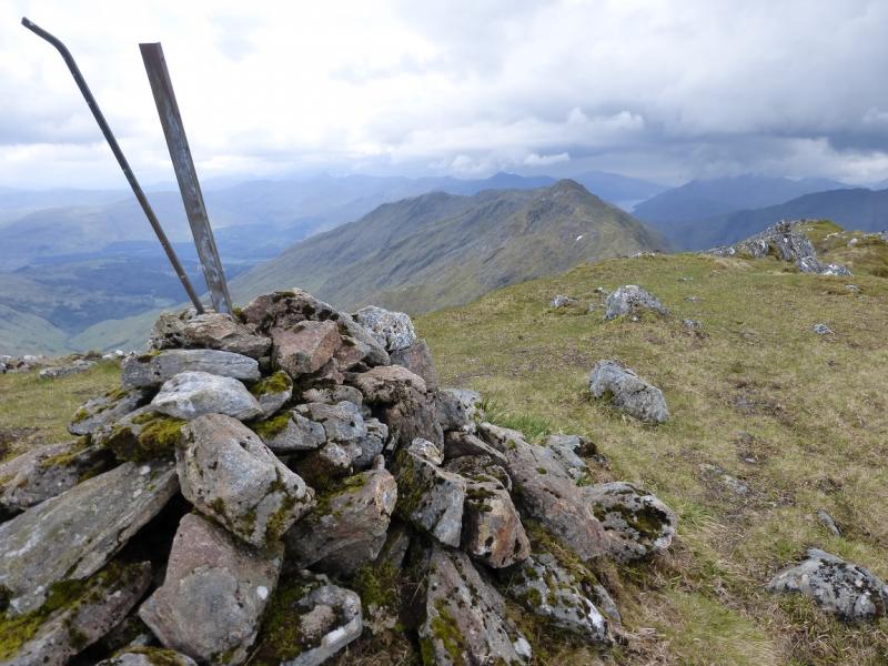
Beinn an Tuim, 810 m, NM 929 835.
Sgurr Coire nan Cearc, 887 m, NM 937 852.
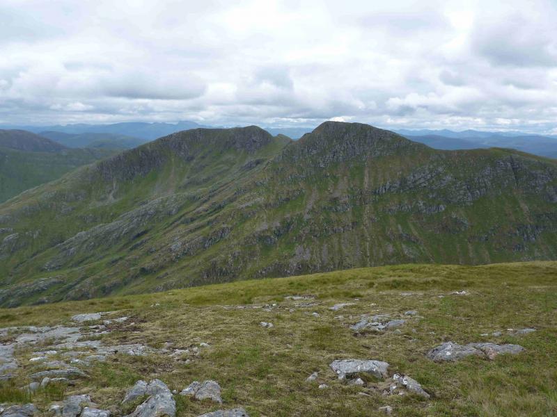
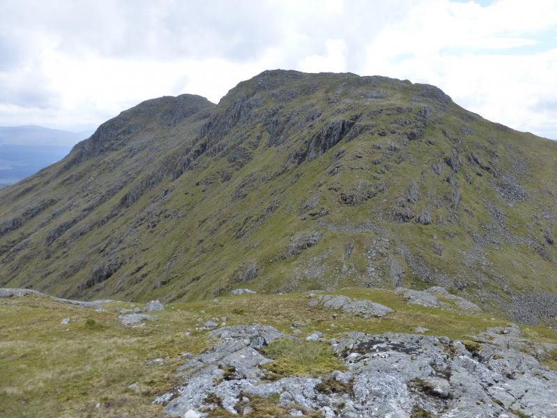
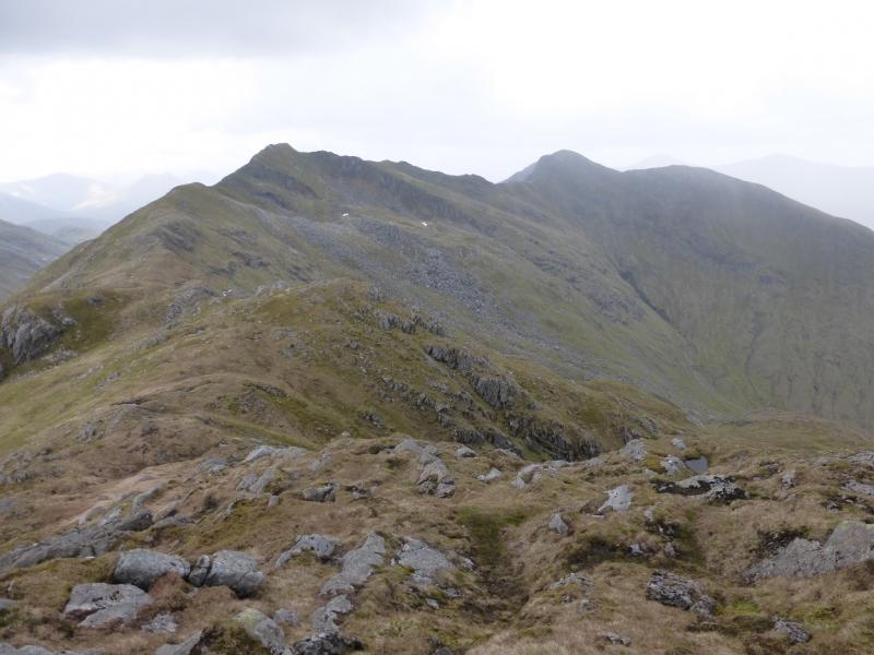
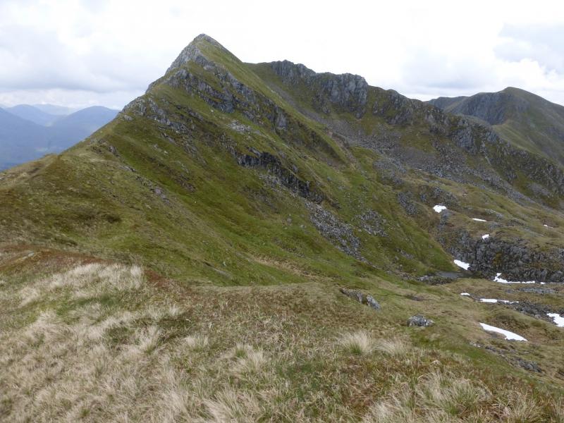
Streap , 909 m, NM 946 863.
Streap Comhlaidh, 898 m, NM 952 860. OS sheet 40.
Introduction
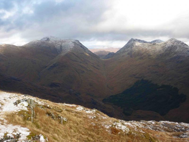
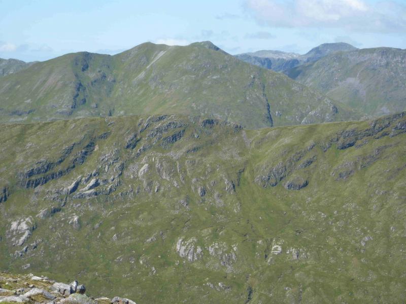
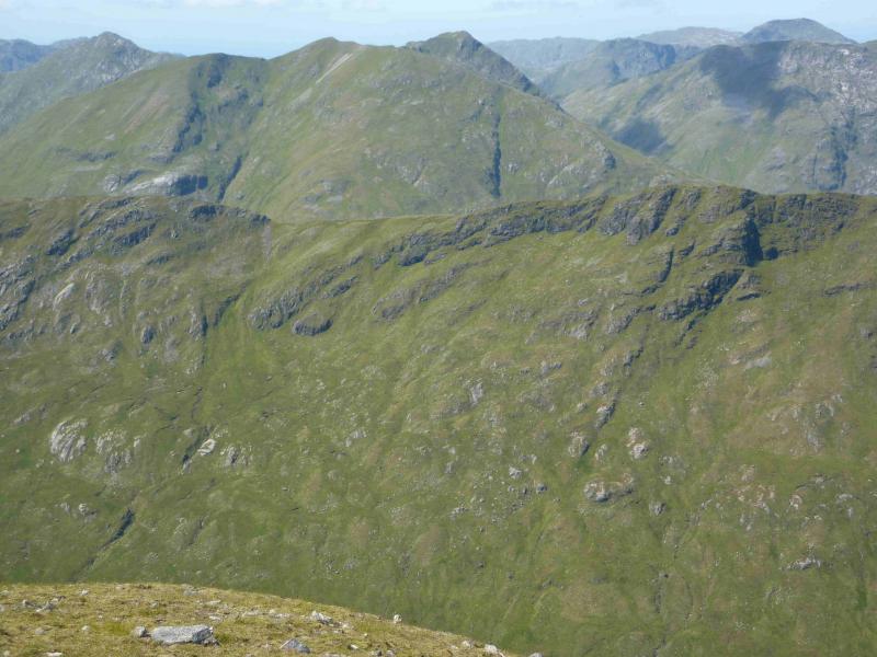
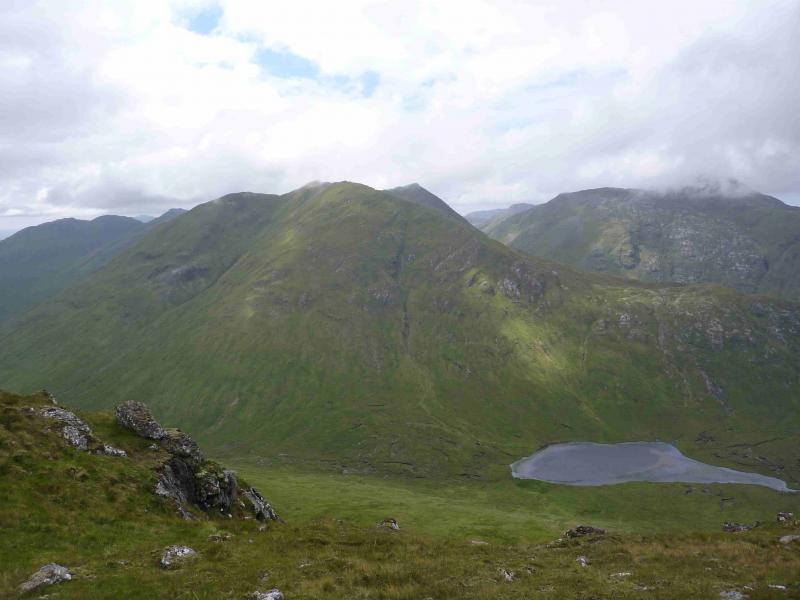
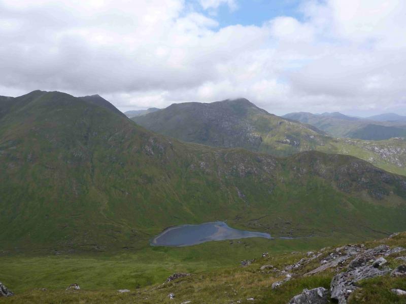
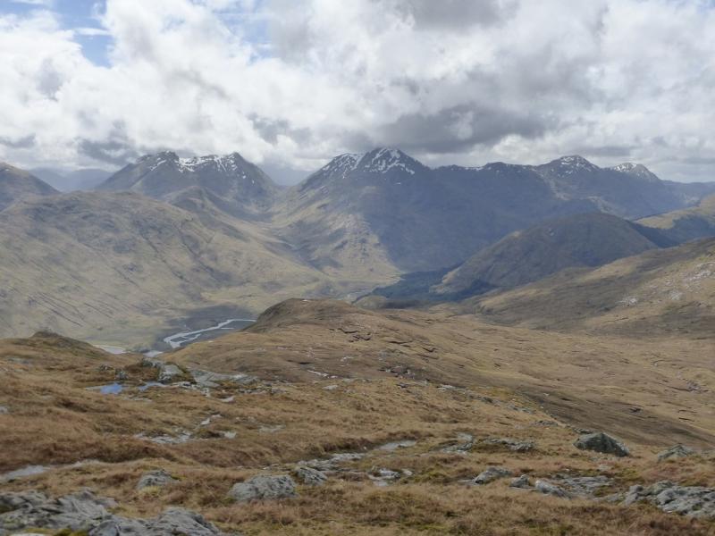
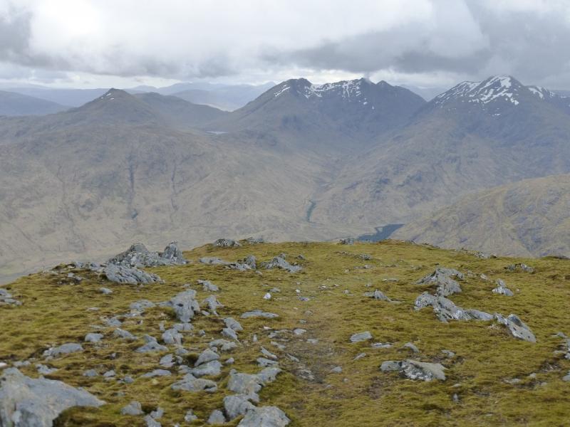
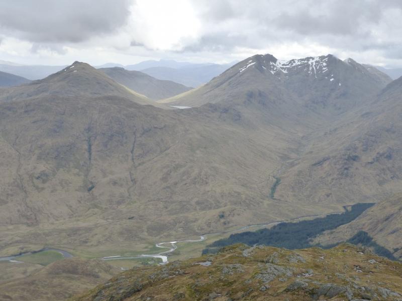
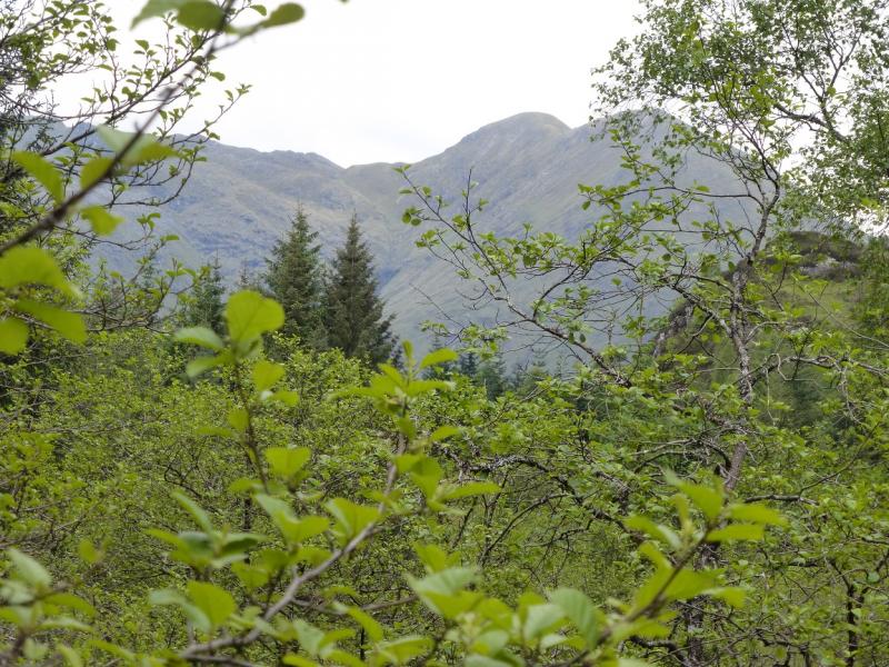
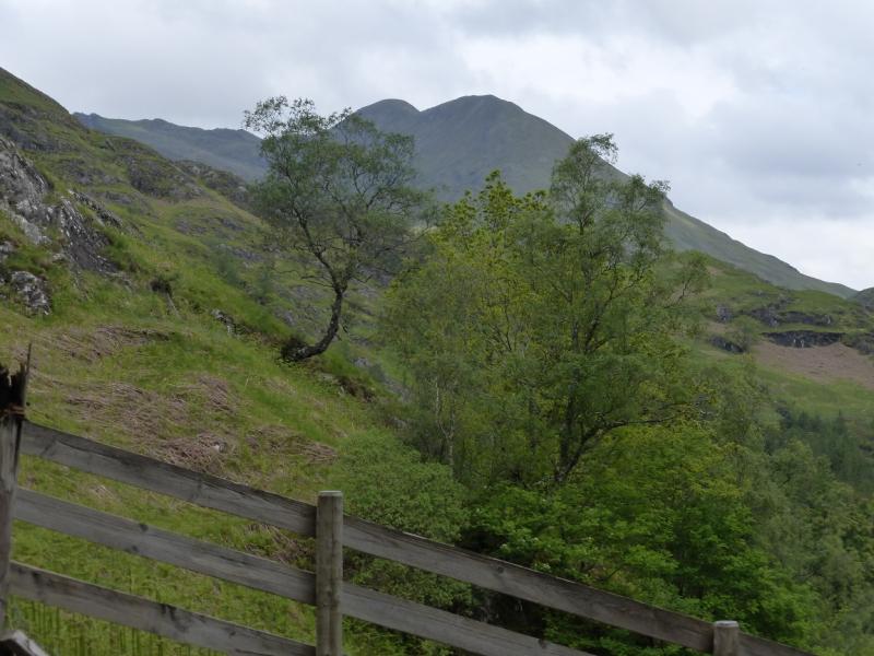
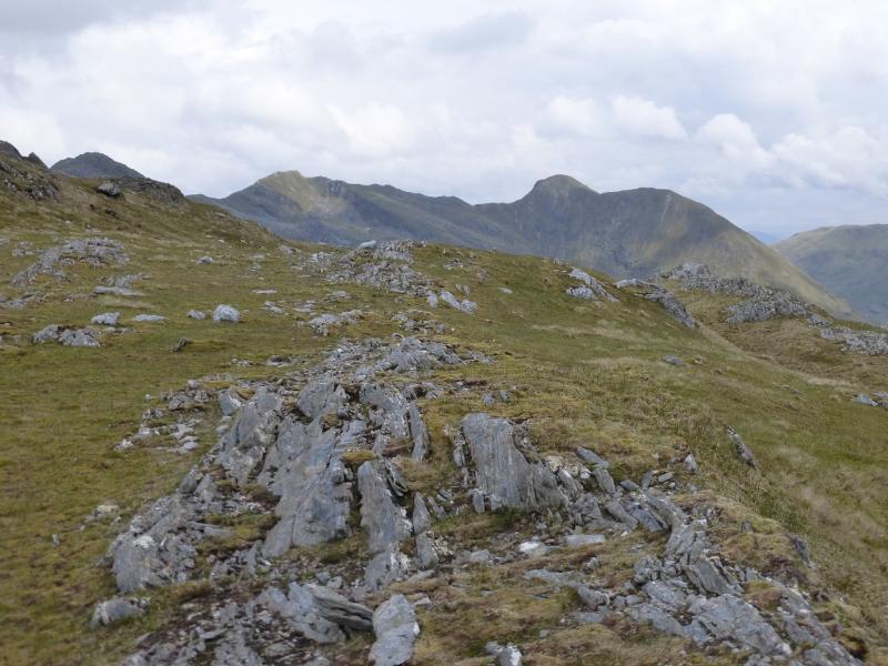
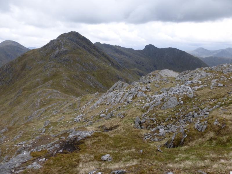
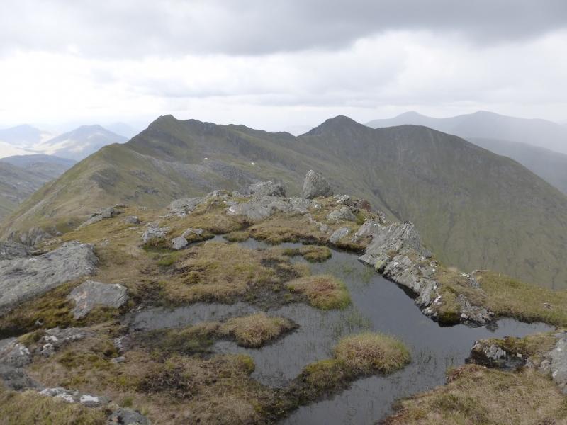
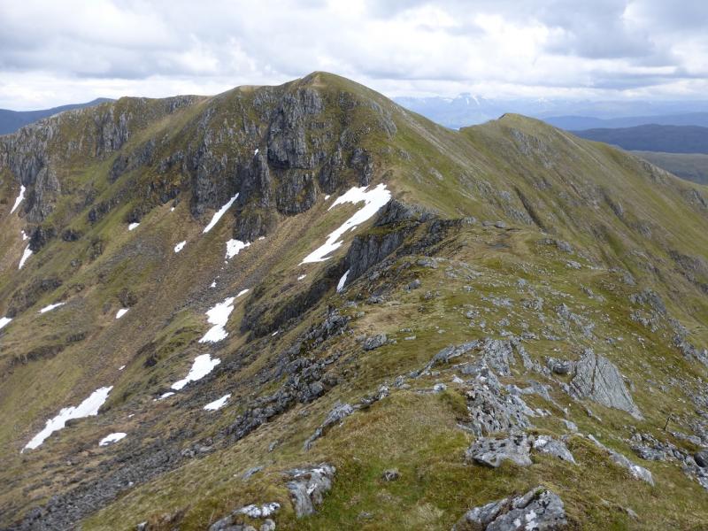
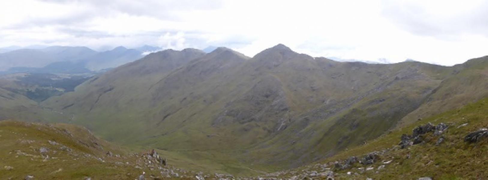
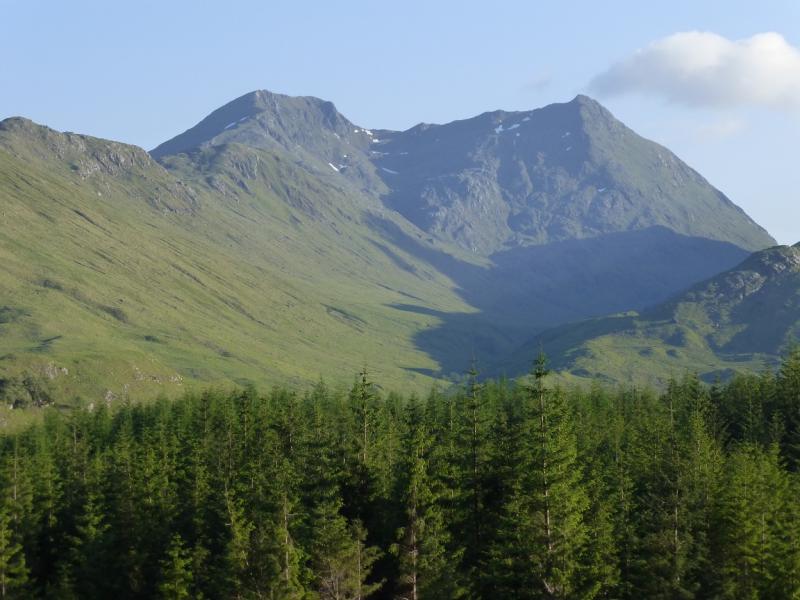
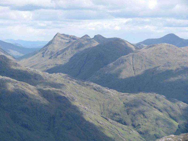
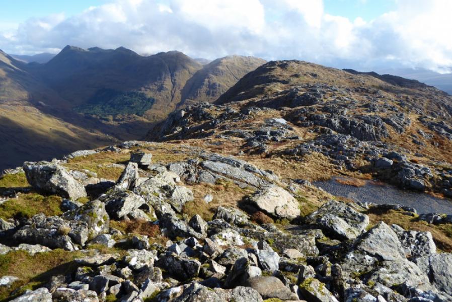
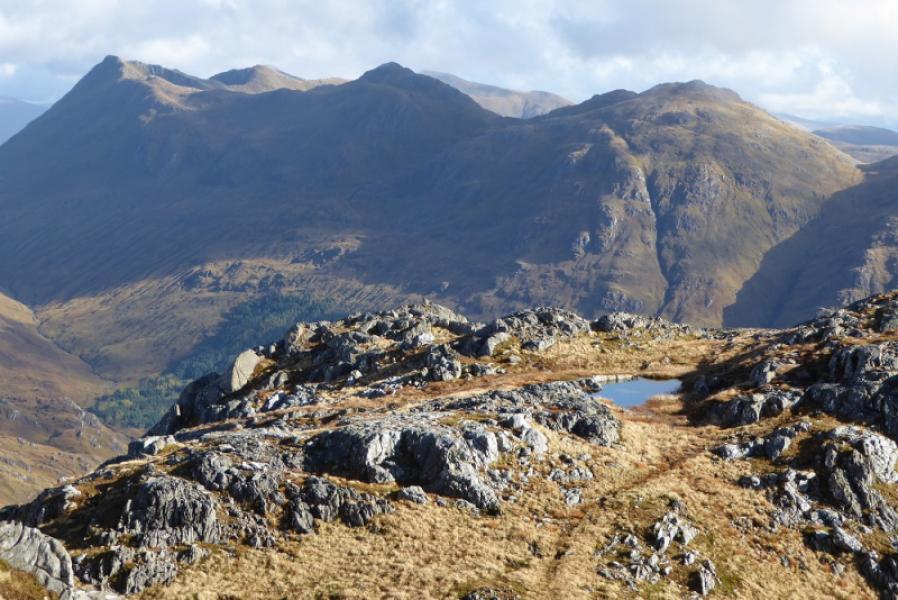
This is a very tough walk as it covers all of the tops on the SW ridge of Streap. There are quite significant drops between these tops but not quite large enough to create separate Corbetts. The going lower down is quite rough and, in Summer, is overgrown with ferns. Higher up the ground is much better. The final ascent to Streap and the ridge to Streap Comhlaidh and both steep and narrow and some may find them unnerving even in benign conditions. In winter conditions, these two sections would be very challenging. The views are stunning and include the Corryhully peaks, Gulvain, the Loch Arlkaig and Glen Dessary Hills. Ben Nevis is well seen on a clear day.
Route
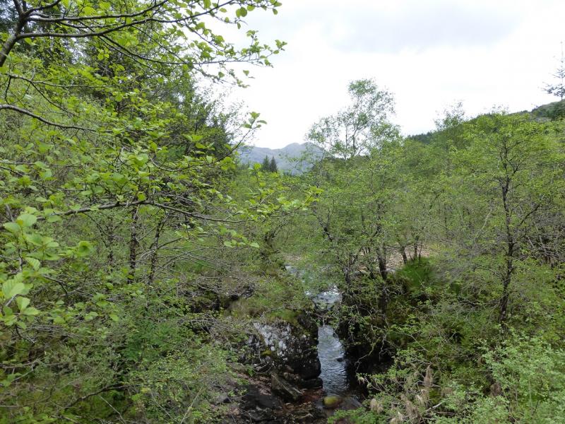
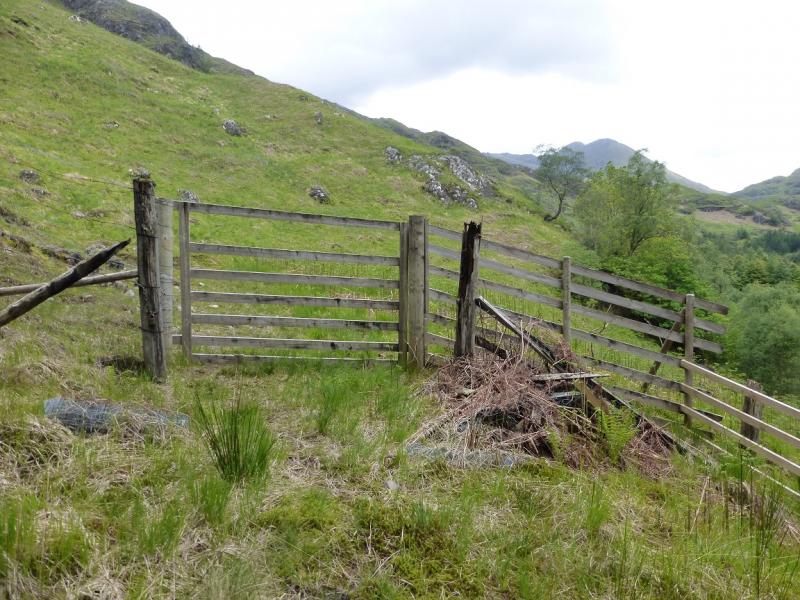
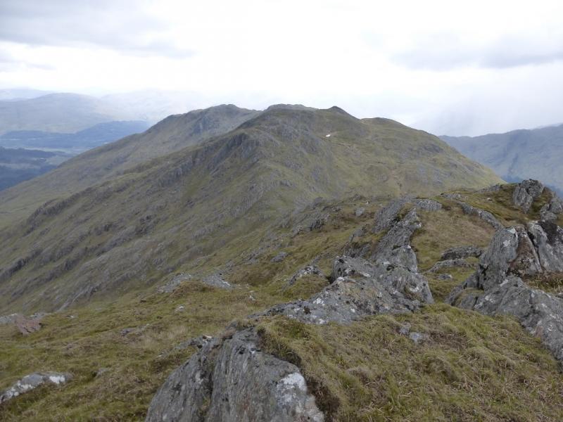
(1) Walk back to the main road. Turn E, towards Fort William, and take the track up Gleann Dubh Lighe just before the bridge over the river. There is a lay by beyond the bridge. Walk up the forestry track. After about 2 km, the track swings right and descends to a bridge. Do not go this way but continue ahead on a lesser but more grassy track. On 26/5/14, some trees had fallen across this track but they could be passed without too much difficulty. Continue to a gate at the edge of the forest. Ascend roughly NW (no path) up moderately steep ground to eventually reach the small cairn which marks the SE top of Beinn an Tuim. Continue NW to reach a similar cairn which marks the summit of Beinn an Tuim, 810 m.
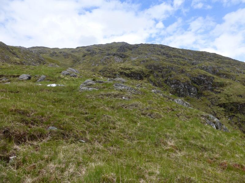
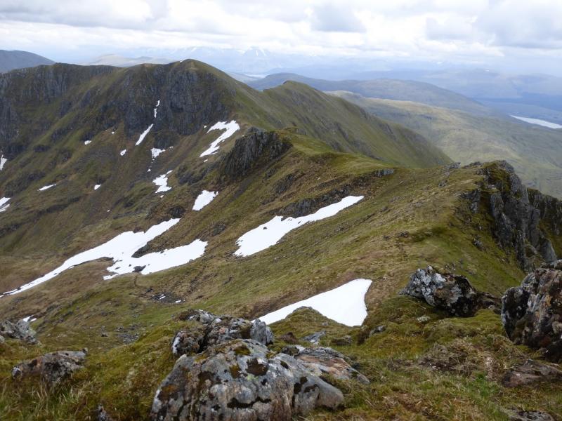
(2) Descend N to a deep bealach then ascend NNE to top 844 which has no cairn. A little further is an another uncairned top. Descend N to another bealach then ascend N then NE to reach the summit of Sgurr Coire nan Cearc, 887 m which has no cairn.
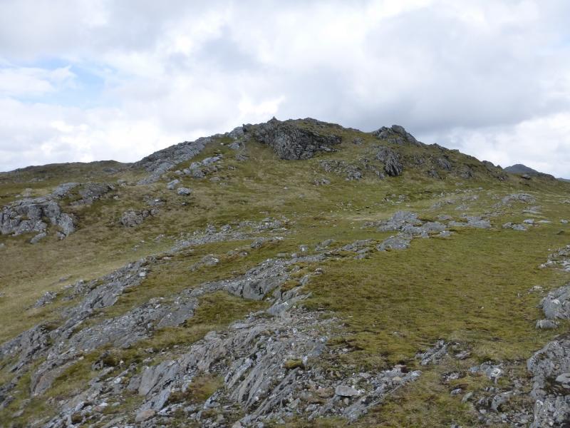
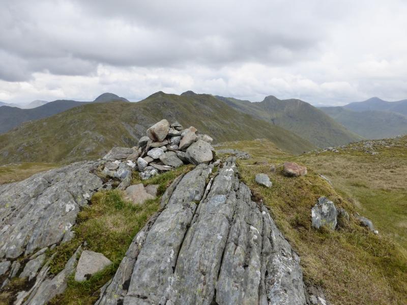
(3) Descend NNE to another bealach then start climbing the narrow crest towards Streap. There is now a path. There are steep drops on either side but the route is not difficult. Reach a medium cairn which marks the summit of Streap, 909 m.
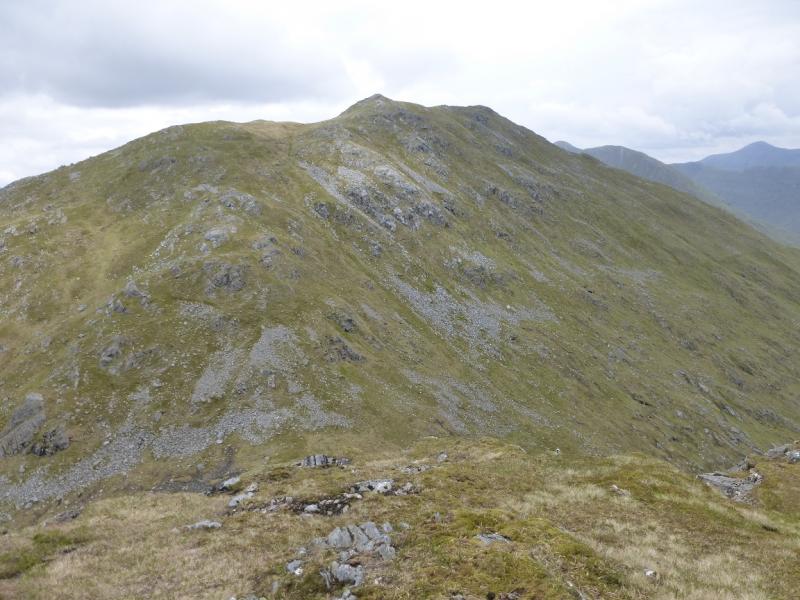
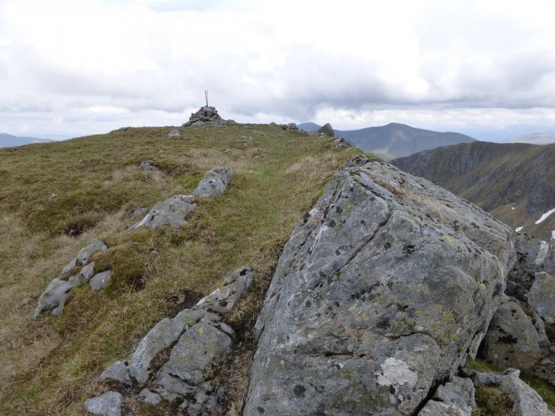
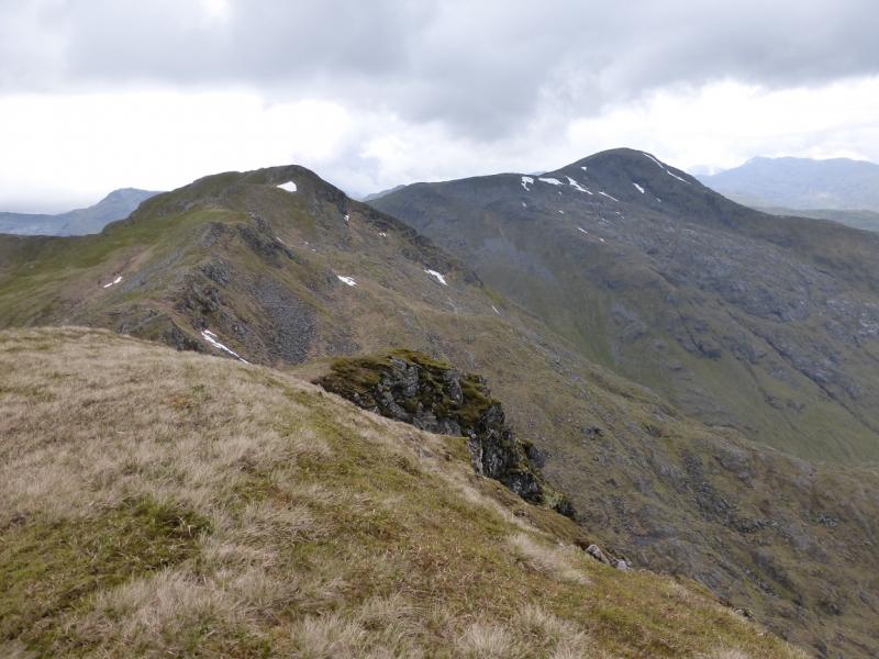
(4) A short steep descent, guided by old fence posts, leads on to the ridge towards Streap Comhlaidh. Follow the ridge which has a faint path and make the short and steep ascent to the small grassy plateau which is the summit of Streap Comhlaidh, 898 m. There is no cairn.
(5) Descend the grassy S ridge over a minor top an don easy angled slopes initially. Lower down the slopes steepen but there are no difficulties in Summer conditions. After a long descent, reach upper Gleann Dubh Lighe and follow a boggy ATV track to a flexible metal bridge which gives access to a better track on the E side of the river. Follow the track to a wooden bridge. Soon after, the outward route is joined and followed back to the start.
Notes
(a) This walk took place on 26th May, 2014.
(b) Streap was also climbed on 28th May, 1997, by a similar route but missing out Beinn an Tuim.
(c) It would be possible to shorten the walk by omitting Beinn an Tuim. Stay on the main track and cross the bridge over the river. Continue up the track to the metal bridge. Cross over then follow the Allt Coire an Tuim up to the bealach between Beinn an Tuim and Top 844 where the route above is joined. It seems possible to cycle to somewhere between the two bridges. This alternative ascent has not been checked out.
Photos - Hover over photo for caption. Click on to enlarge. Click on again to reduce.