Get Lost Mountaineering
You are here: Scotland » 10b Loch Eil to Glen Shiel » South of Loch Morar & Loch Arkaig
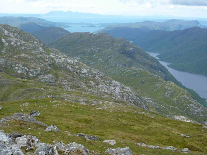
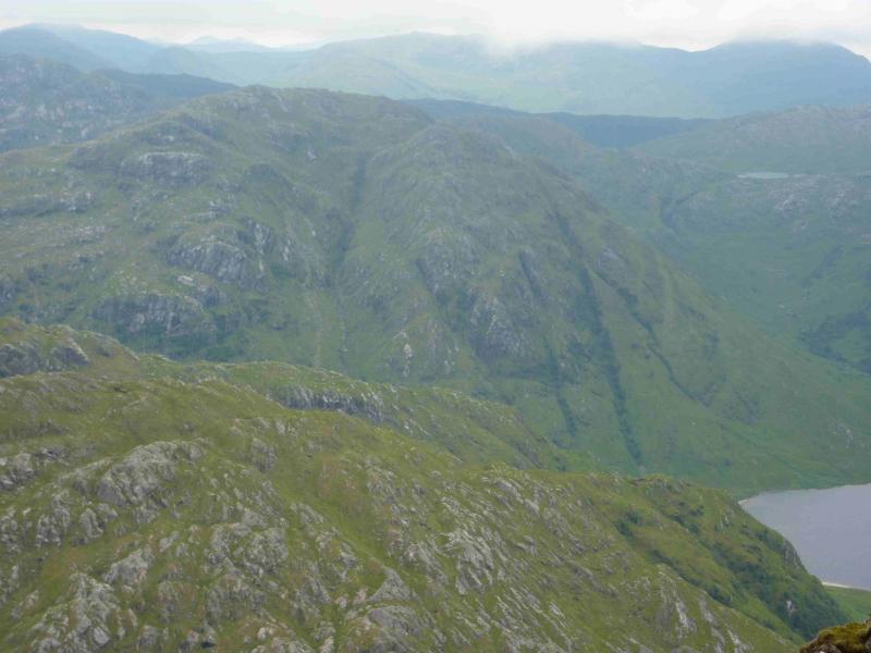
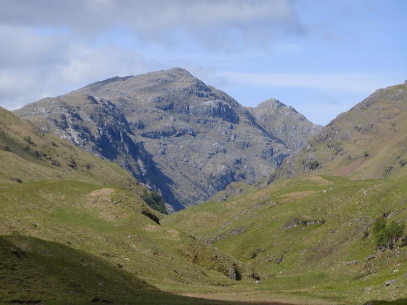
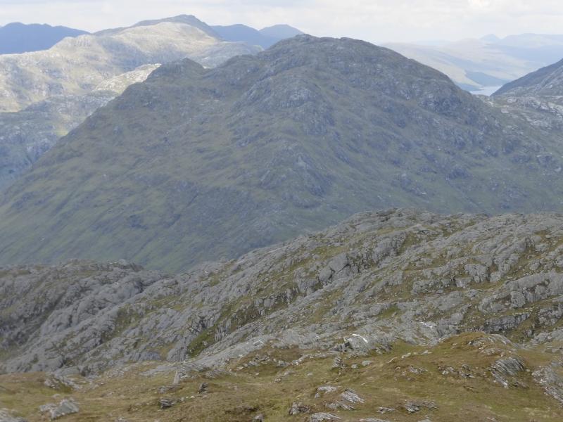
An Stac
An Stac from far end of Loch Arkaig
Start/Finish
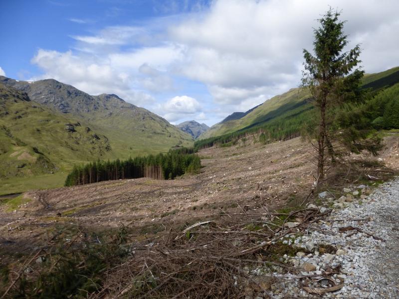
The end of the public road at the far end of Loch Arkaig. This is a long drive (40+ minutes) from Spean Bridge via Gairlochy. The road by the loch is single tracked and narrow with many blind bends and summits. Be prepared to reverse some distance if another vehicle is encountered. If pulling a trailer or caravan, make sure you can reverse with that as well. The parking space used to be quite limited but there is now a car park for 17 cars. You may still need to arrive early to be sure of a place though as the previous parking options on the verges have been blocked off. On 6/5/14, substantial timber clearing was taking place in Glen Pean which meant that long and very heavy timber wagons were driving the full length of this road and wrecking it. In places, half the road is missing. At the current rate of destruction, parts of the road may soon become impassable to cars. The Loch Arkaig road is bad enough when in good repair but is now awful. Taking one's car down Loch Arkaig is now probably the driving equivalent of self-flagellation!!!On 24/5/14, forestry clearing was taking place in Glen Pean which has restricted access by bicycle as the track has been closed to non-forestry staff. Pedestrians are diverted around the south side of the forest where there is no path and the going can be quite boggy which adds considerably to the walking time. This walk is not recommended in a wet spell. At weekends, however, there seems to be no forestry working taking place so it could be possible to cycle in on the track which was the approach on 24/5/14 when no forestry personnel were encountered.
Distance/Time
18 km walk + 10 km bike. About 10 - 11 hours.
Peaks
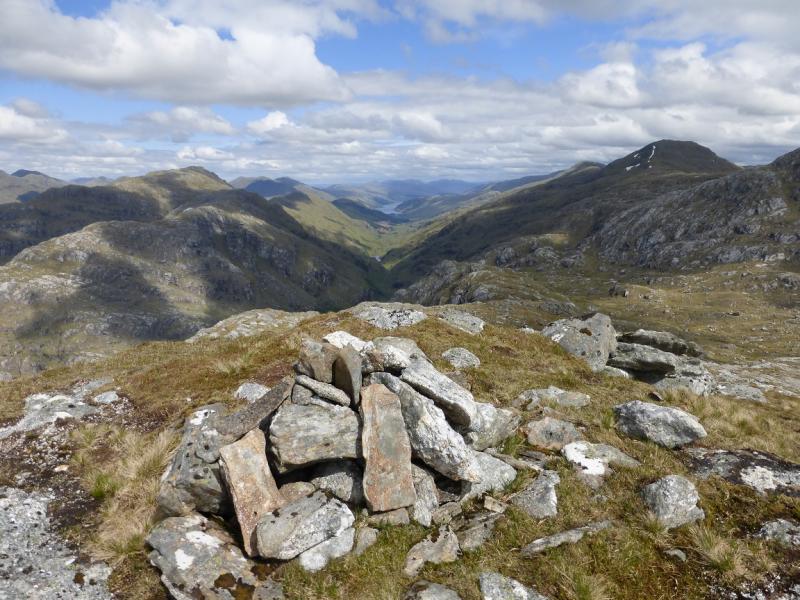
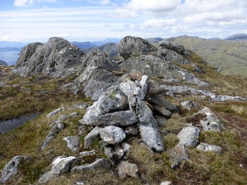
An Stac, 713 m, NM 866 889. OS sheet 40.
Introduction
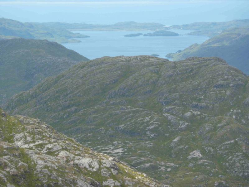
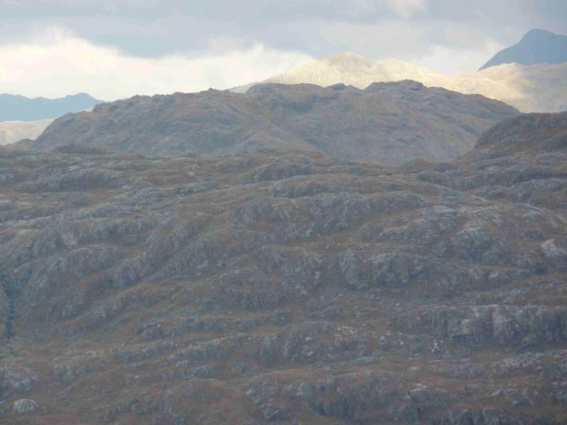
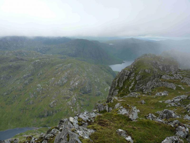
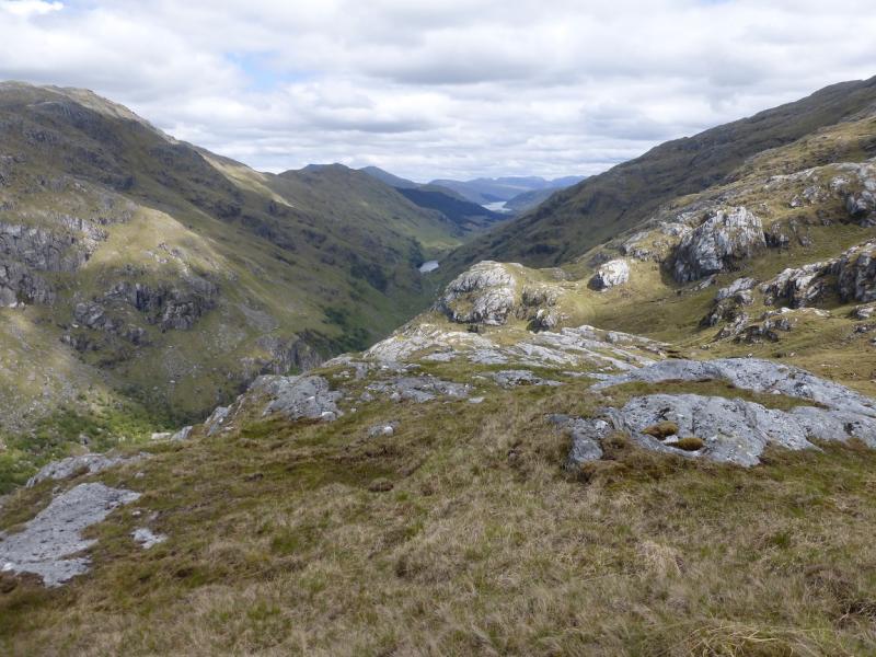
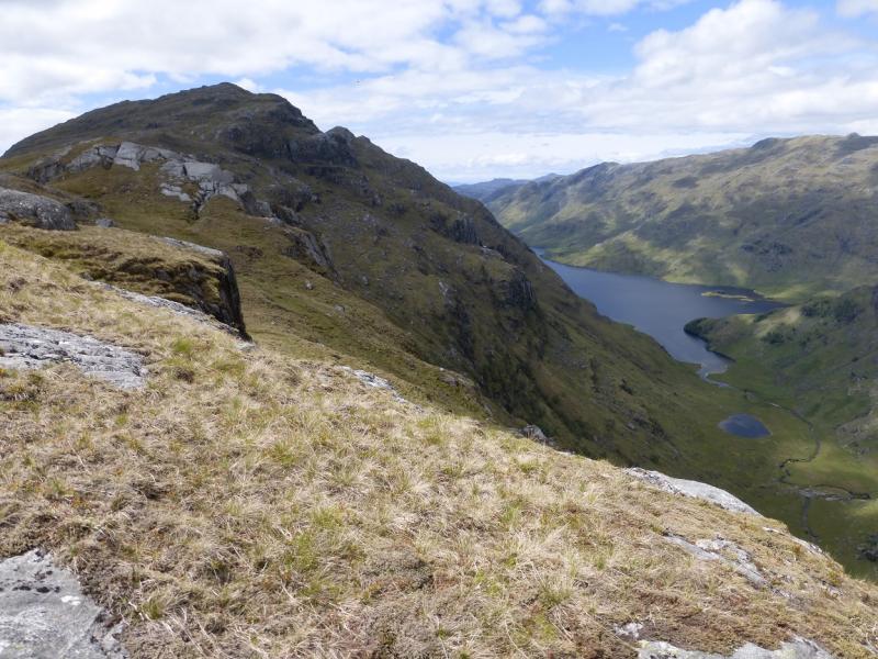
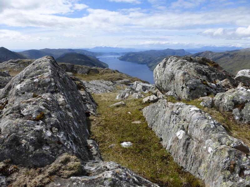
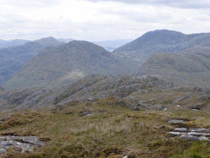
An Stac is one of the remotest Grahams in Scotland and the approach from Loch Arkaig is long and strenuous over much boggy ground in Glen Pean before one reaches the foot of the mountain. It is worth the effort though as the views are superb and include Carn Mor, Bidean a' Chabhair, the other Glen Dessary peaks, Rois-bheinn, Corryhully peaks, Rum, Skye and down Glen Pean to Loch Arkaig.
Route
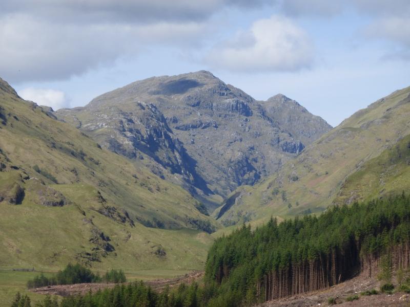
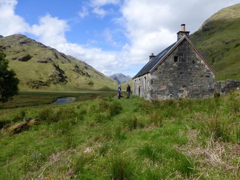
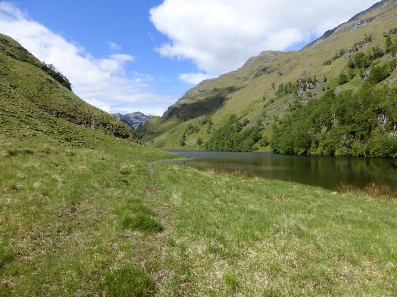
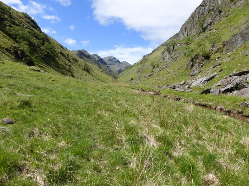
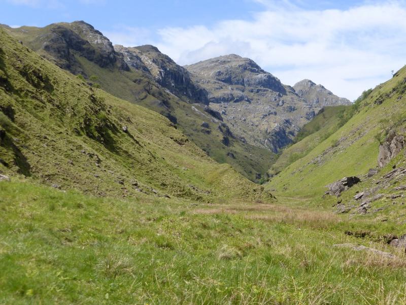
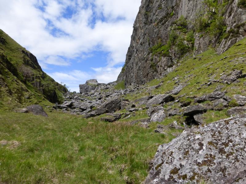
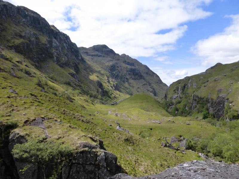
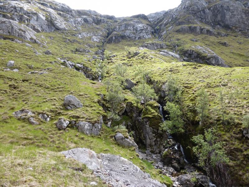
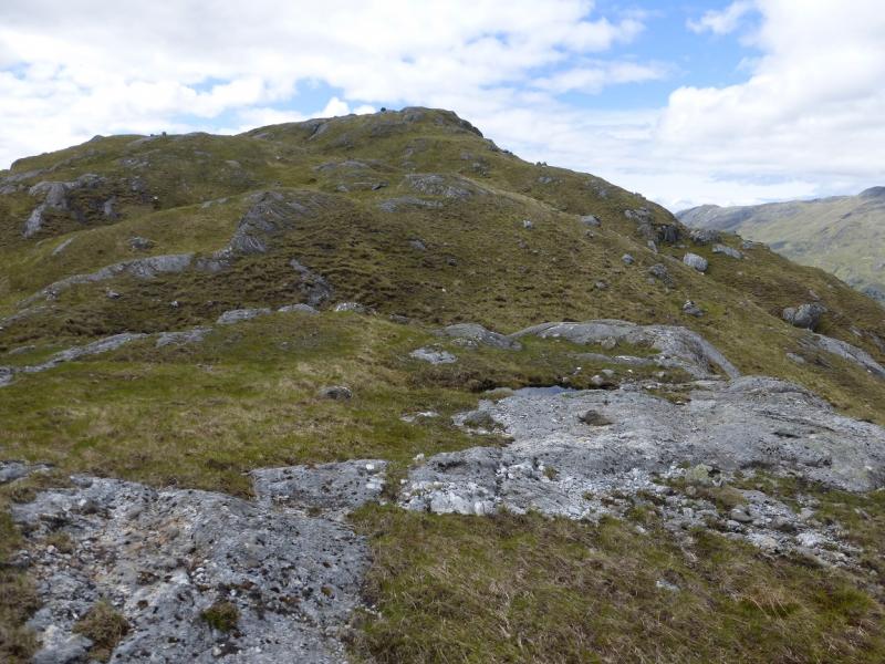
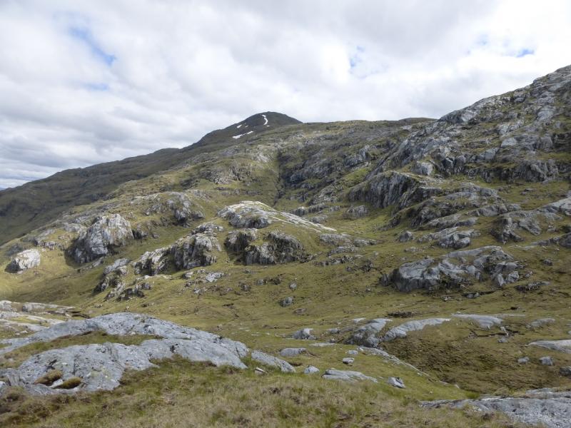
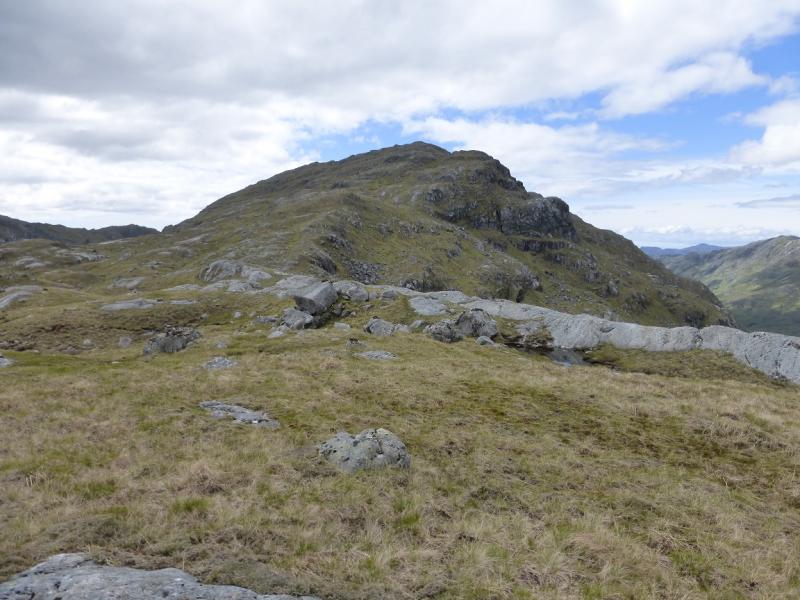
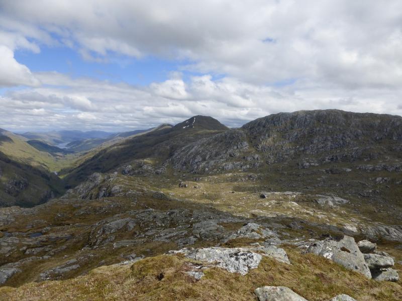
(1) From the end of Loch Arkaig, walk or cycle, for about 1 km, to where the track forks. Take the left fork and descend slightly to pass Strathan. Continue, crossing the bridge over the River Dessary. The track enters a plantation. In about 300 km, ignore the right fork and continue ahead on the reinforced forestry track which now goes further than shown on the 1989 map. Leave bikes, sensibly, at the end of the track which is close to the edge of the forest. The bothy is close but may be out of sight and the ground ahead may be littered with felling debris so pick a way through carefully to the bottom corner of the forestry, if any remains. From the bothy, walk up Glen Pean. The path is faint and very boggy in places. When Lochan Leum an t-Sagairt is reached, cross the River Pean about 100 m from its outflow. This is just about possible in a dry spell but will be deep and fast after rain. Once across, ascend above the lochan as crags prevent progress along its shoreline. The crags are at the E end so once past them, look for a faint path dropping down towards the lochan and follow it, exposed in places, to the end of the lochan. Continue on the S side of the river but not really getting close to it. When the glen narrows and large boulders can be seen at its head, ascend up the S side to about 50 m above the glen where there is a fairly level grassy section which passes the small lochan further on. This is awkward to pass in the glen. It may not be seen from above, though. Continue until the first of two parallel, and close, streams are met going up from the wood just to the W of the small lochan. Walk uphill, S, until the old stalkers' path, shown on the 1989 map, is met. This zig-zags up the steep sided hillside but is slowly deteriorating. Soon the path crosses to between the two streams. Leave the path when the right hand, W, stream swings W, to the S of the Cnoc Gorm ridge. Cross the stream as soon as possible and pick a way up the Cnoc Gorm ridge. Some of the walking is on pleasant easy angled slabs. The “summit” of Cnoc Gorm has no cairn. Descend W a little then pick a way up the moderately steep and rocky slopes ahead but it is possible to pick a way up on grass. Eventually reach the top where a small cairn marks the summit of An Stac, 713 m and its panoramic views.
(2) Return the same way. It is possible to traverse much of the Cnoc Gorm ridge to the S. Route finding in Glen Pean should be easy on the return with the advantage of height allowing on e to look down on the route ahead.
Notes
(a) This walk took place on 29th May, 2005, and 24th May, 2014.
(b) Not using a bicycle would add about an hour and a half to the time.
(c) If the River Pean is uncrossable then it will be necessary to climb high on the N side of Lochan Leum an t-Sagairt to get past the loch. This will add considerably to the time.
Photos - Hover over photo for caption. Click on to enlarge. Click on again to reduce.