Get Lost Mountaineering
You are here: Scotland » 10b Loch Eil to Glen Shiel » South of Loch Morar & Loch Arkaig
Druim Fada (Stob a' Ghrianain) from Fassfern
Druim Fada (Stob a’ Ghrianain) from Fassfern
Start/Finish
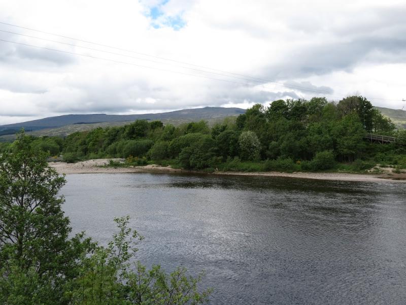
Public car park in Fassfern, off the A 830, which is about 7 miles W of the Mallaig turning in Fort William. There is usually plenty of parking space.
Distance/Time
20 km About 7 hours
Peaks
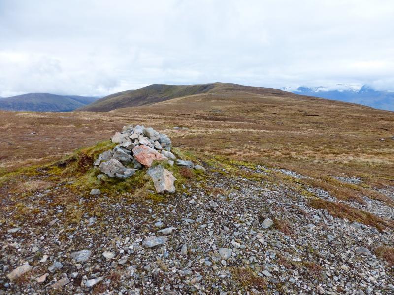
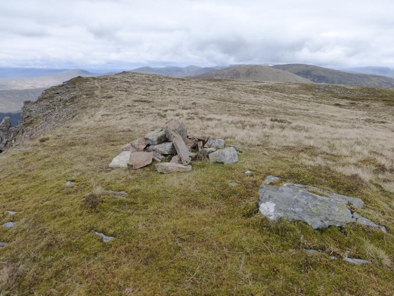
Druim Fada, Stob a’ Ghrianain, 744 m, NN 087 824. OS sheet 41.
Introduction
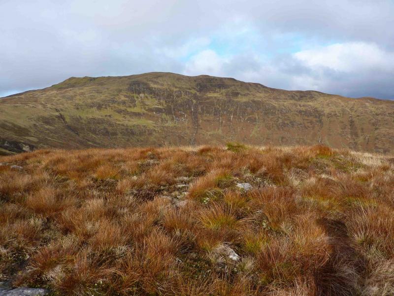
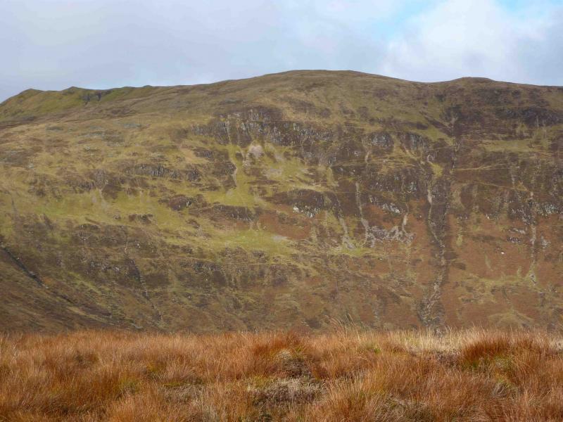
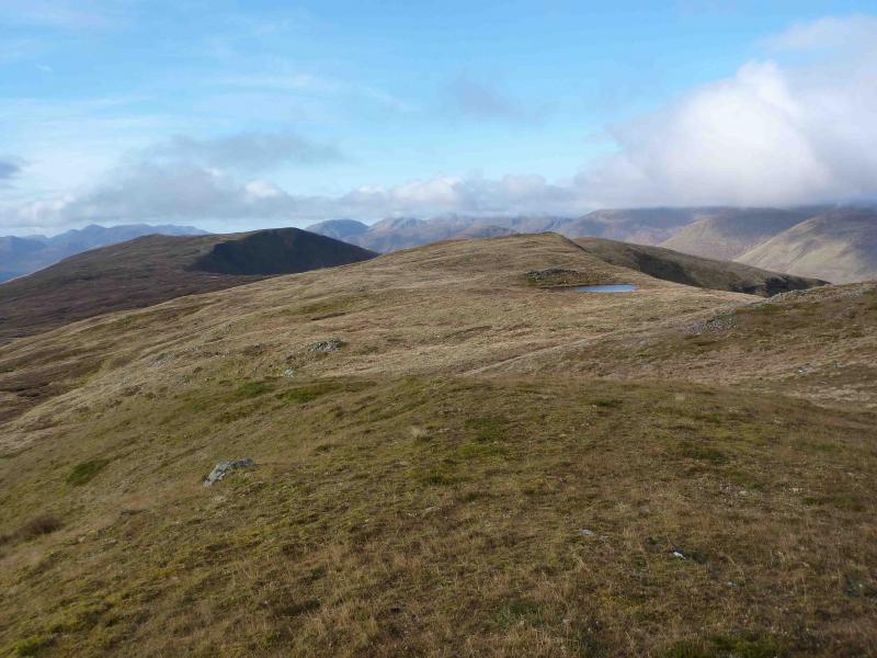
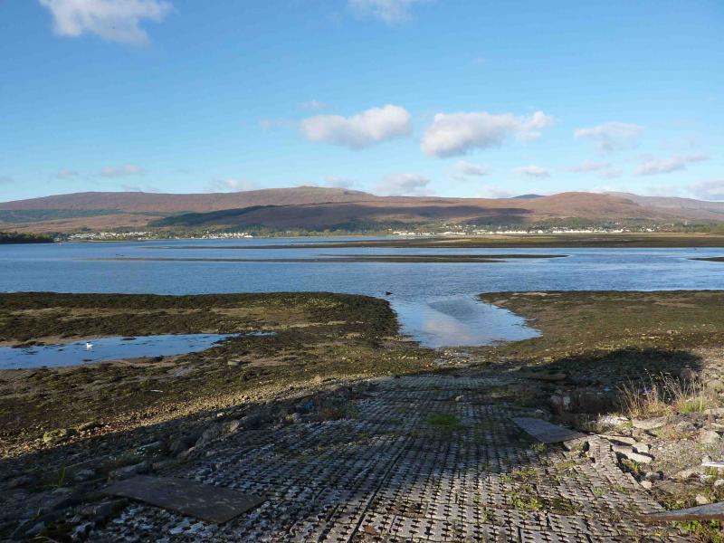
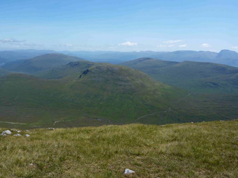
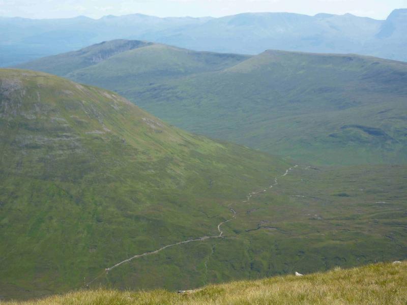
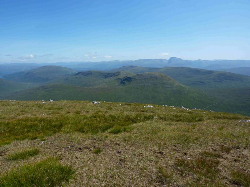
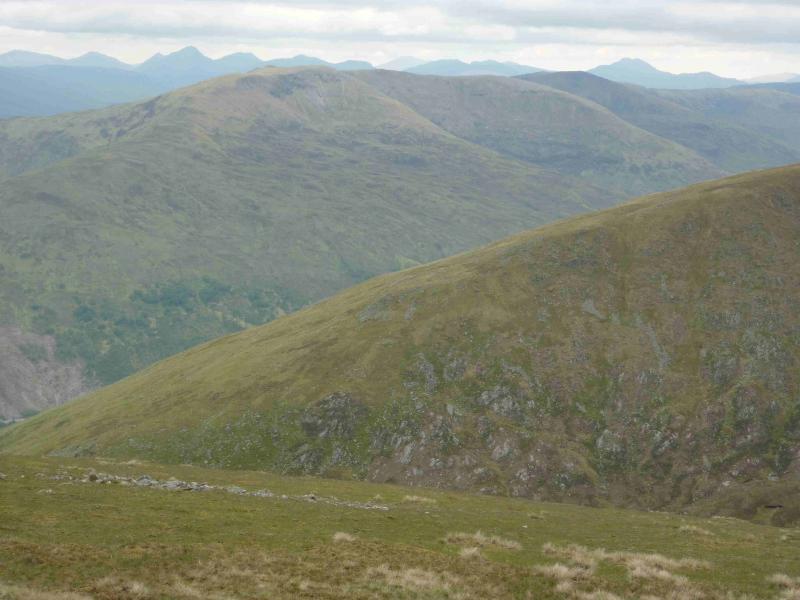
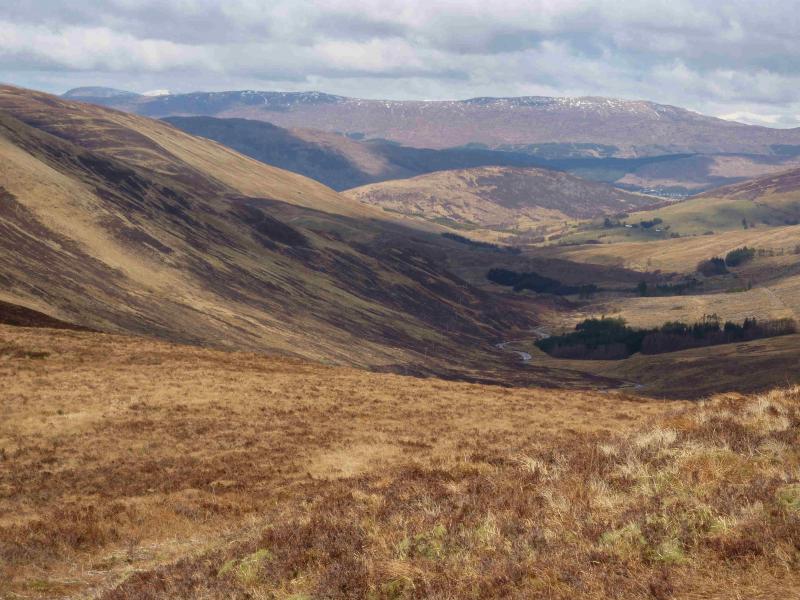
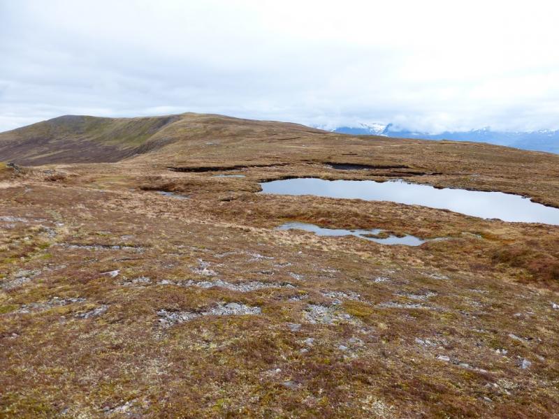
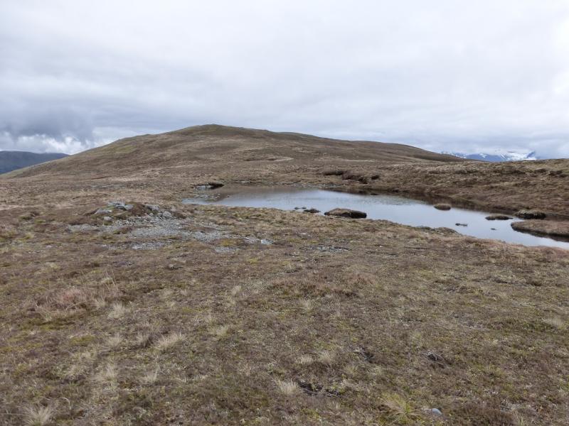
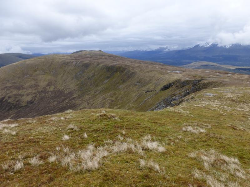
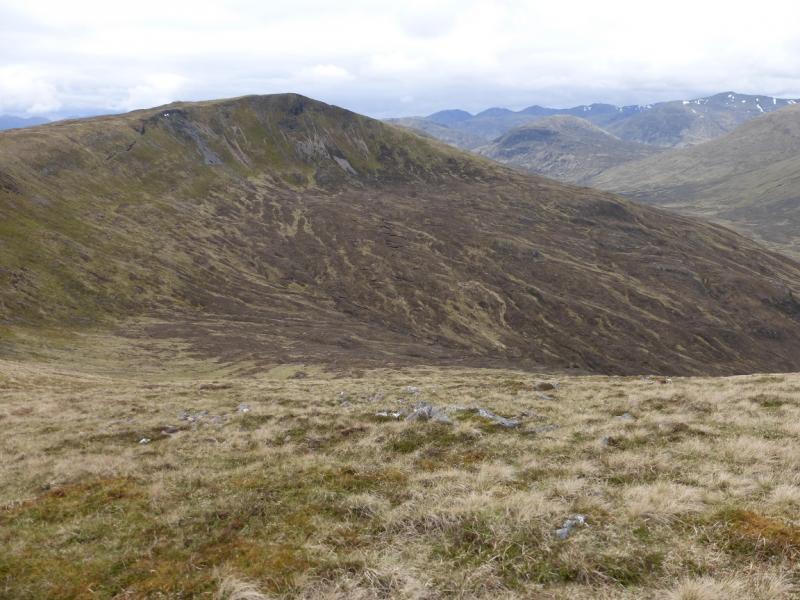
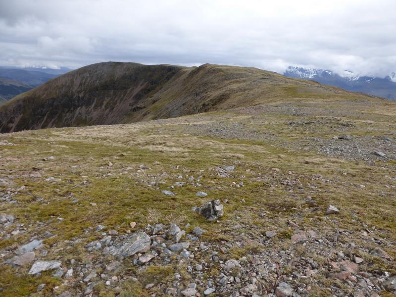
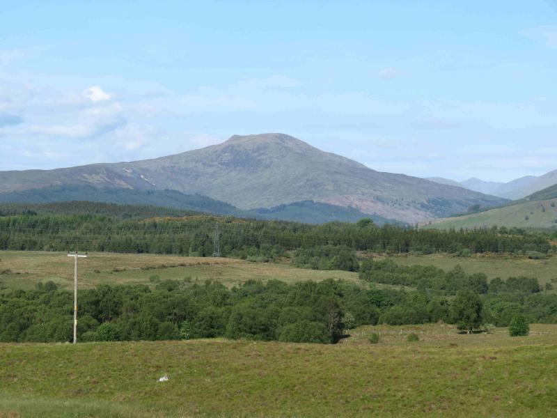
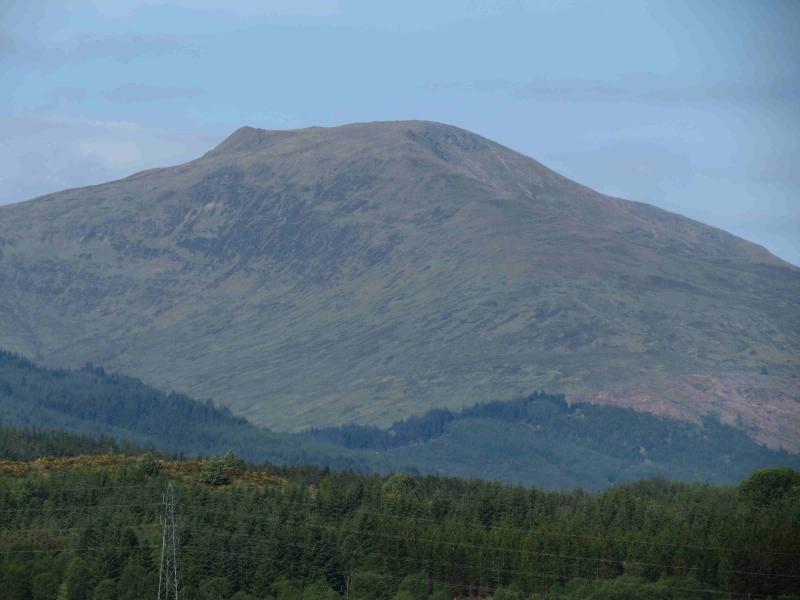
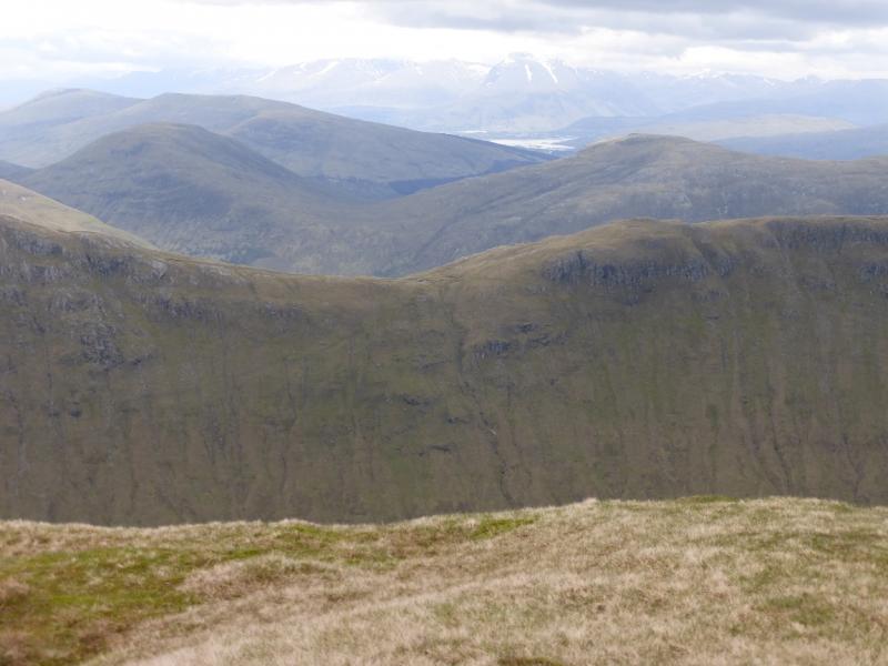
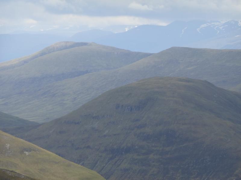
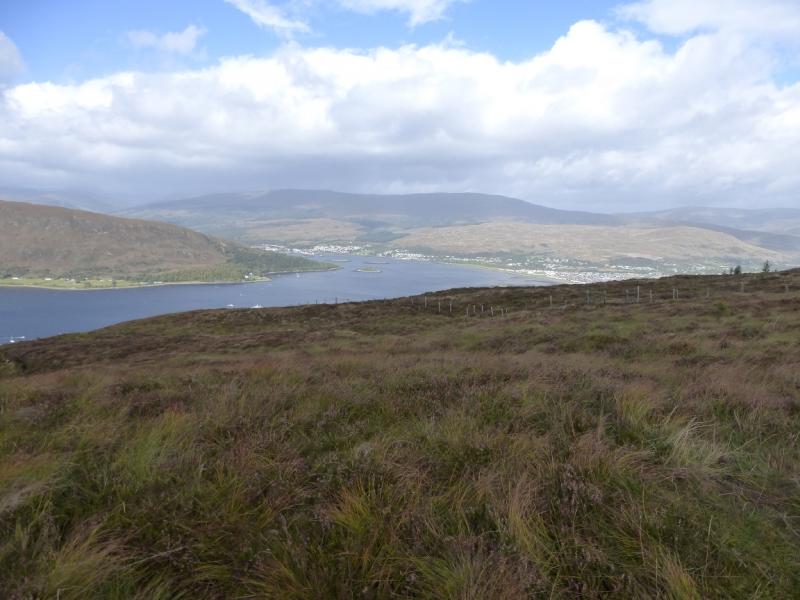
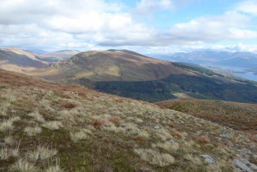
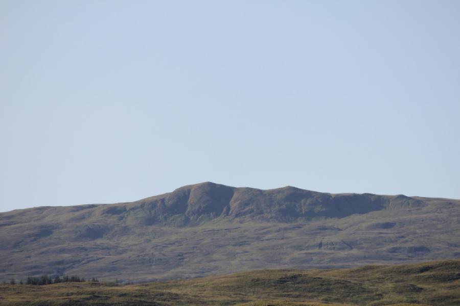
Druim Fada is a steep grassy hill with a long summit ridge which is well seen when looking NNW from Fort William. On a clear day, there are panoramic views in all directions including Ben Nevis, Grey Corries, the hills above the Mallaig road and the Loch Arkaig hills. The most prominent hills are Gulvain, Meall Onfhaidh, Aodann Chleirig and Meall a' Phubuill which all lie just to the north. Most of the climbing is done from where the forestry track is left up on to the western end of the long Druim Fada ridge. Once on the ridge, there is a path, faint in places which leads, in 5 km, to the summit over some easily crossed tops. An alternative approach to Druim Fada from Glen Loy has also been uploaded. If two cars are available, it is worth traversing the whole ridge.
Route
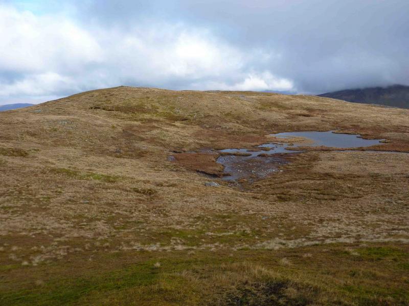
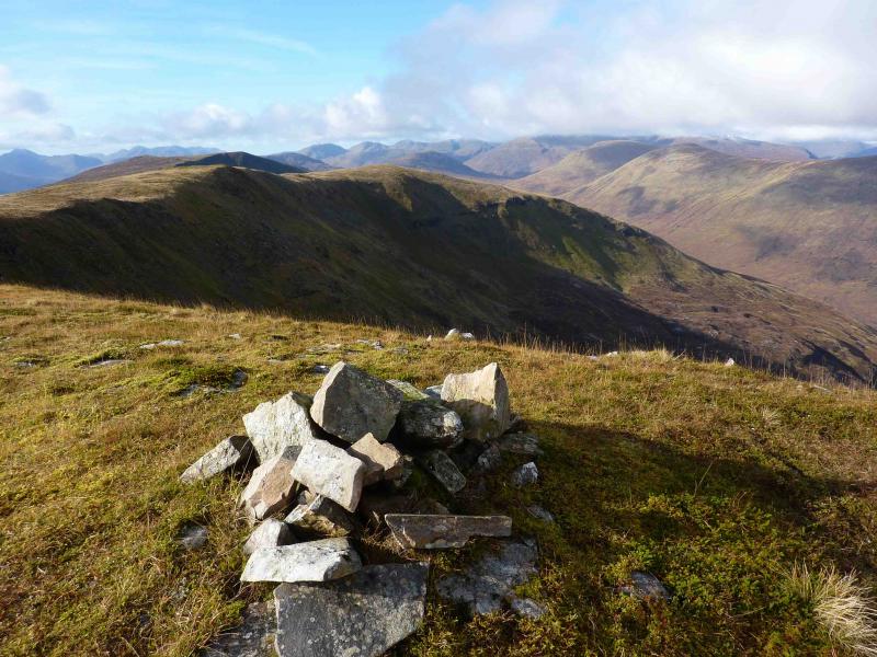
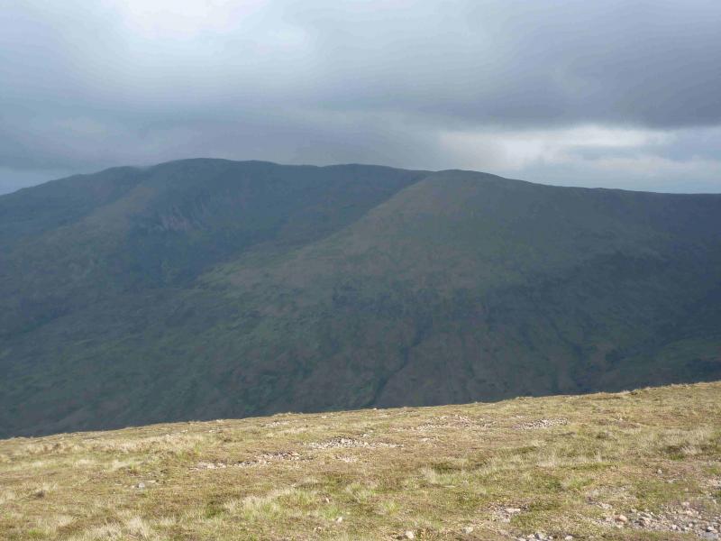
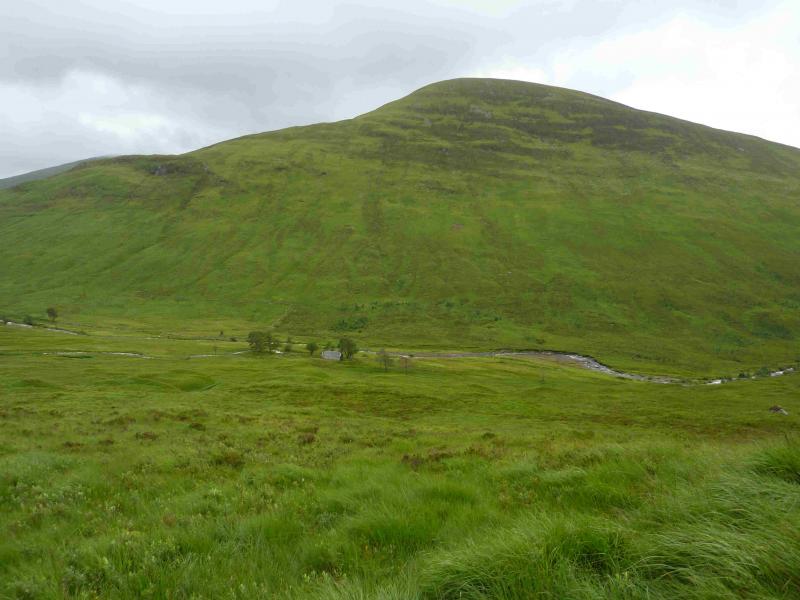
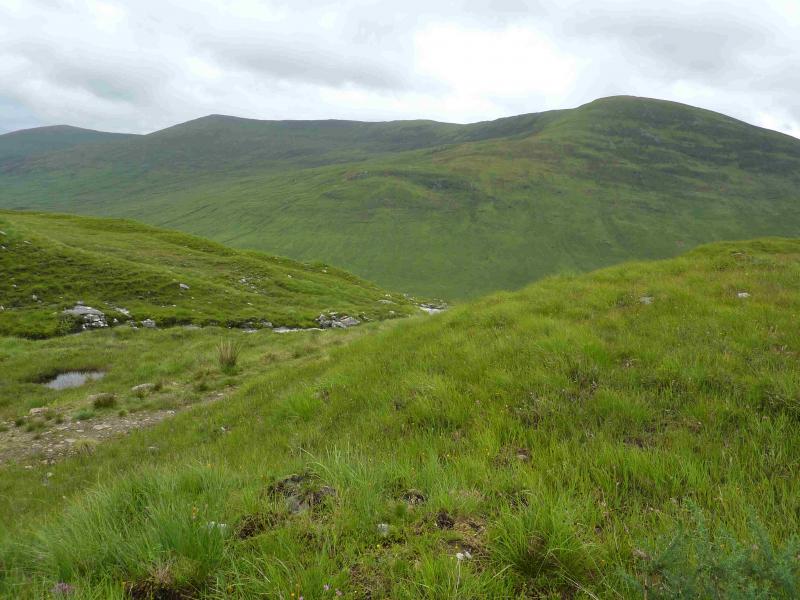
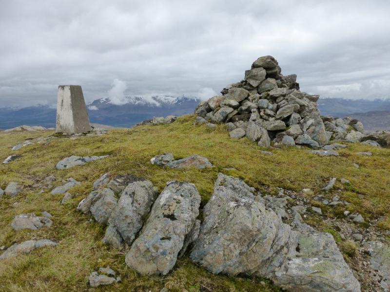
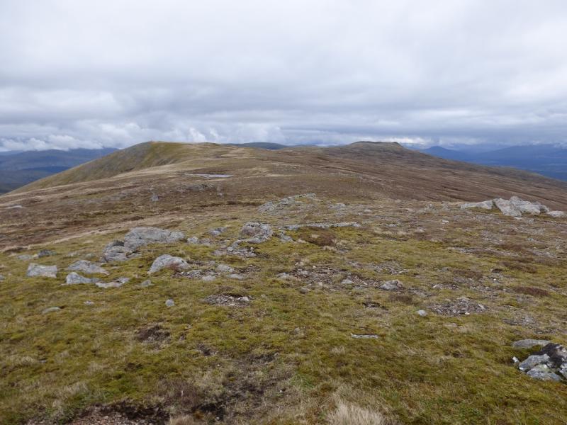
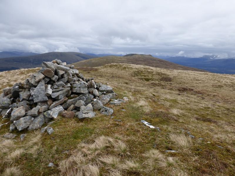
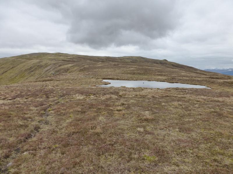
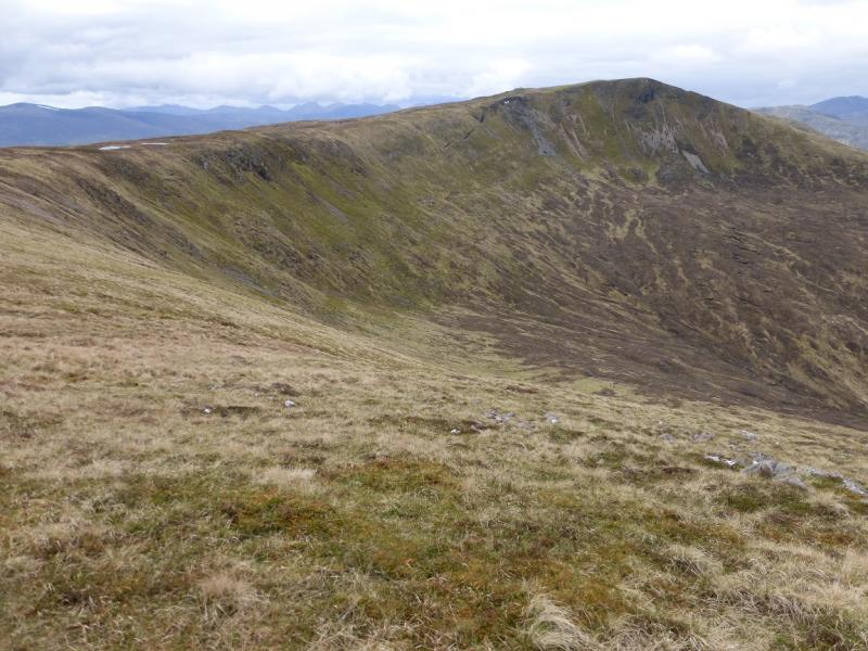
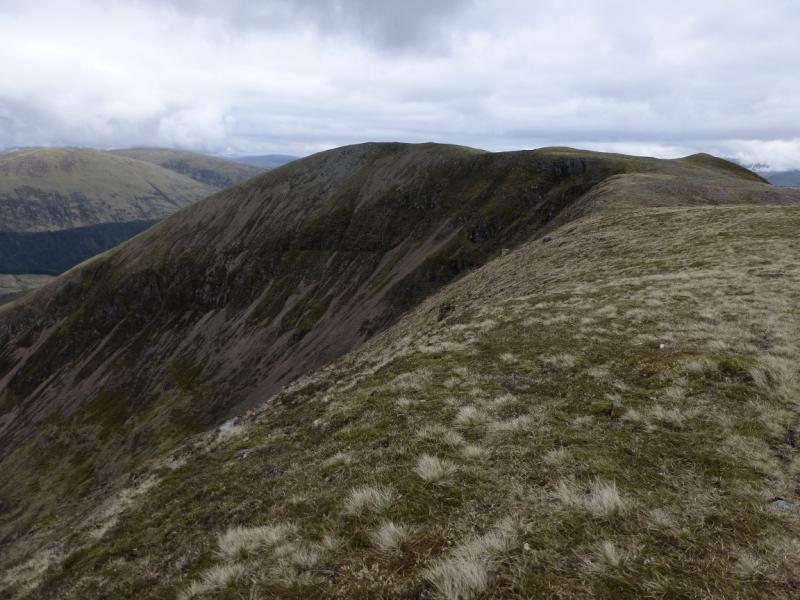
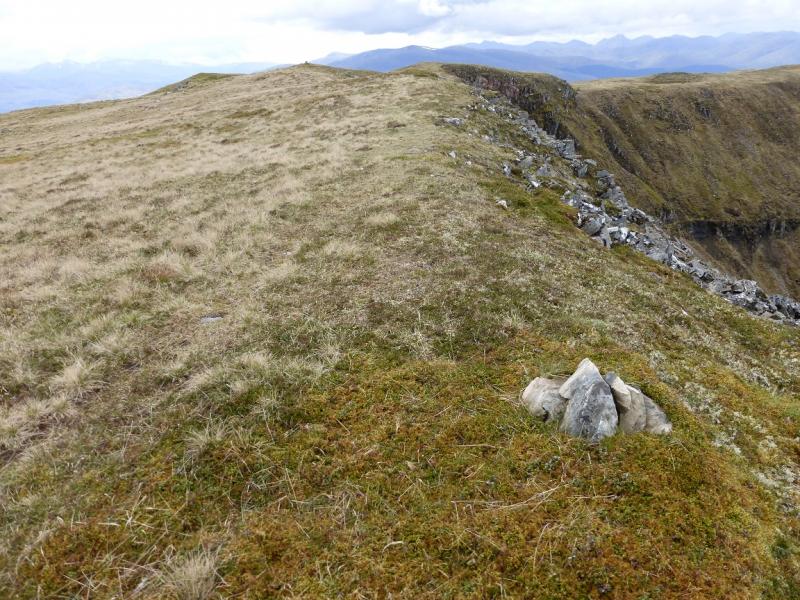
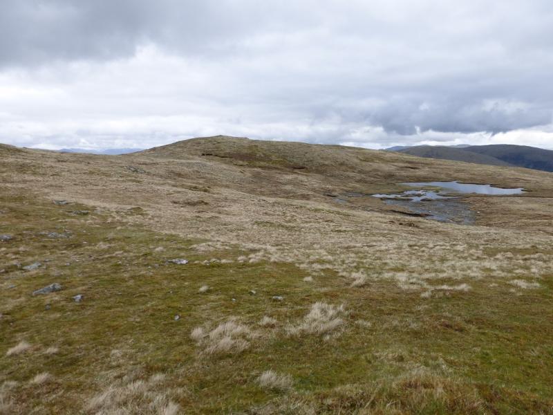
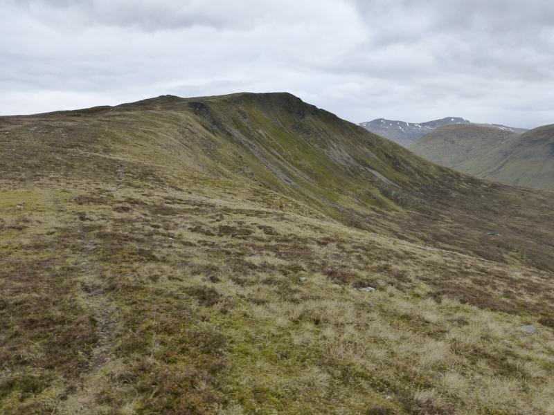
(1) From the car park, cross the river then take the signed track which heads N, ultimately to Glen Loy. Follow the main track, ignoring all turn offs, for about 3 km to the edge of the forest. Walk up the side of the fence on the right where there is an old stile (not needed) at the bottom. Unfortunately, there is a deer fence at the top of the forest which has to be climbed over or through as there is no stile. This may be awkward so choose carefully where you cross it. Once past here, pick a way up the steep, but mainly grassy, slopes to gain the ridge. It is quite a strenuous ascent. Note any features across the glen which will help in the location of the descent route later in the day. Once on the crest, the first significant top has a cairn on it. Walk E with little difficulty, apart from the odd wet section which is easily avoided. The path is on the N, left, side. In about 2 km, reach the trig point which is not the summit as that is a further 3 km E. Continue on the path on the N side of the crest – close to the edge in places – to the next top, 729 m, which sticks out to the N. Continue along the N edge and ascend up on to the summit area where there are several tops. The highest point is on the N edge, between Coire Dubh and Coire Odhar where a small cairn marks the summit of Druim Fada, Stob a’ Ghrianain, 744 m. There is a slightly lower top to the N and another top to the S.
(2) Retrace the outward route. Some of the tops can be by passed if wished but make sure the correct position for the descent is located. The edge of the forest across Gleann Suileag is a good guide.
Notes
(a) This walk took place on 8th May, 2014.
Photos - Hover over photo for caption. Click on to enlarge. Click on again to reduce.