Get Lost Mountaineering
You are here: Scotland » 02 River Tay to Rannoch Moor » Glen Lochay Hills
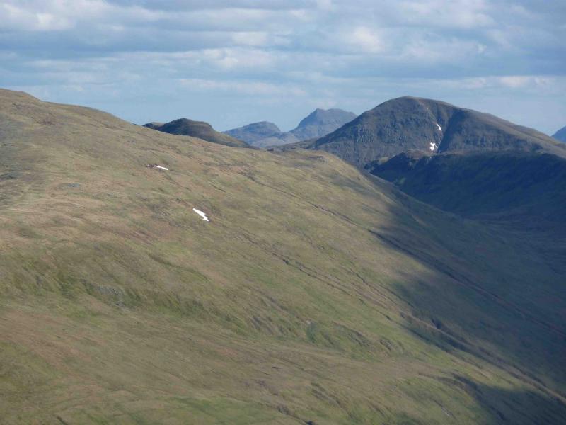
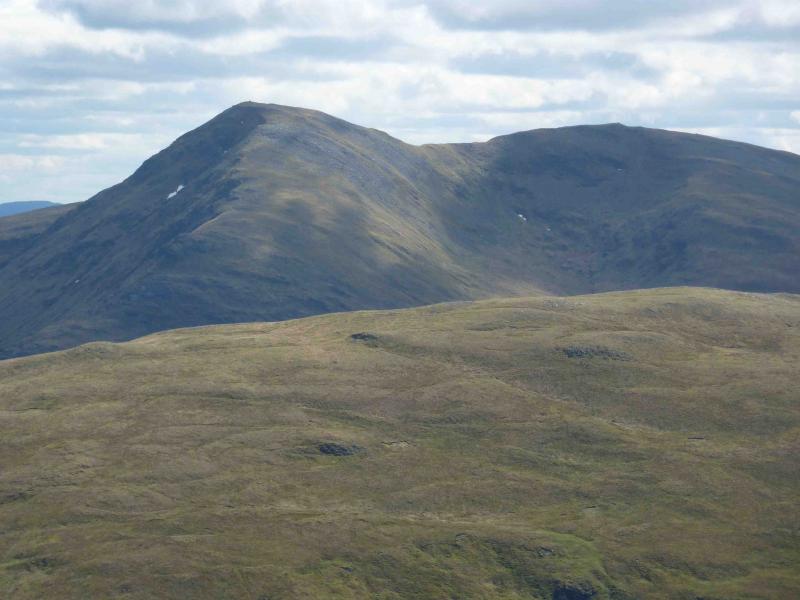
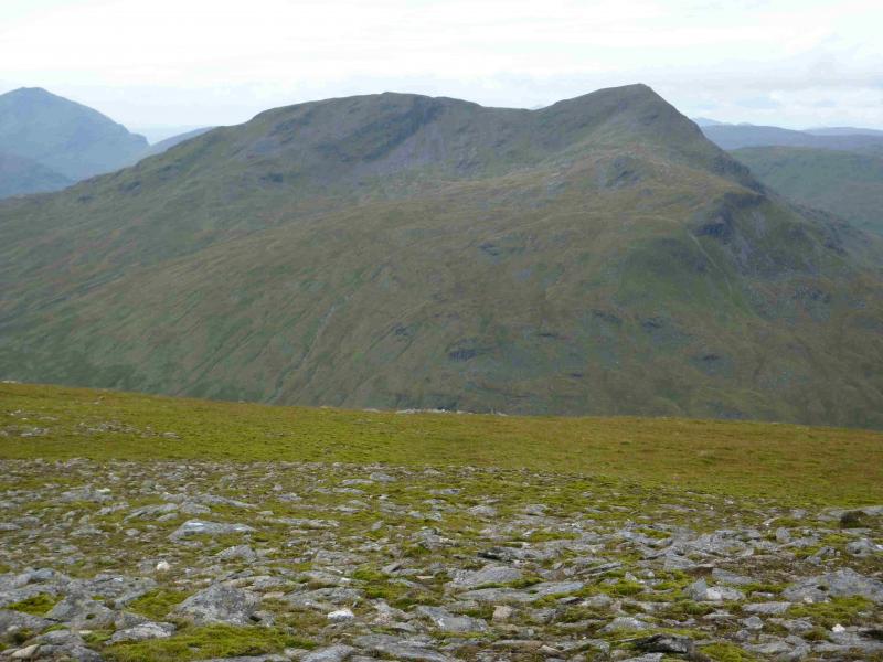
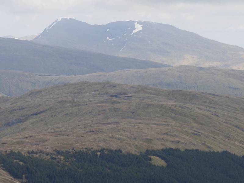
Ben Challum from Glen Lochay
Ben Challum from Glen Lochay
Start/Finish
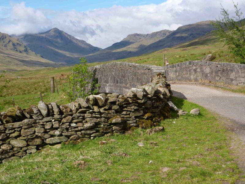
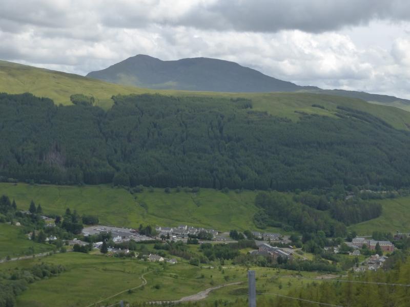
Drive up Glen Lochay from Killin to Kenknock then past the private road (usually open) which goes over to Glen Lyon. This is marked as a track on the map. A short distance further is a large car parking space on the left just before a bridge with a locked gate at about NN 402 306.
Distance/Time
25 km of which about 16 km can be cycled. Approx 8 hours if cycled.
Peaks
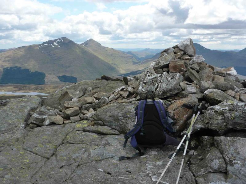
Ben Challum, 1025 m, NN 386 322.
Ben Challum S Top, 997 m, NN 386 315. OS Sheets 50 & 51.
Introduction
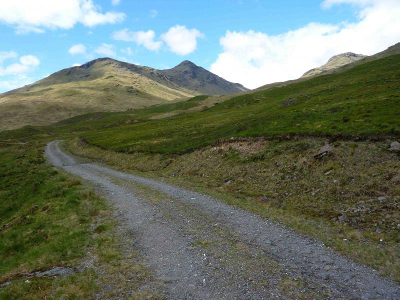
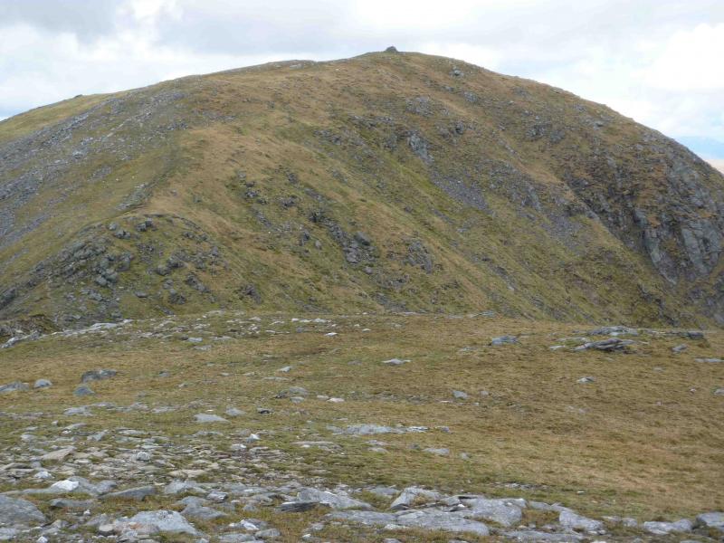
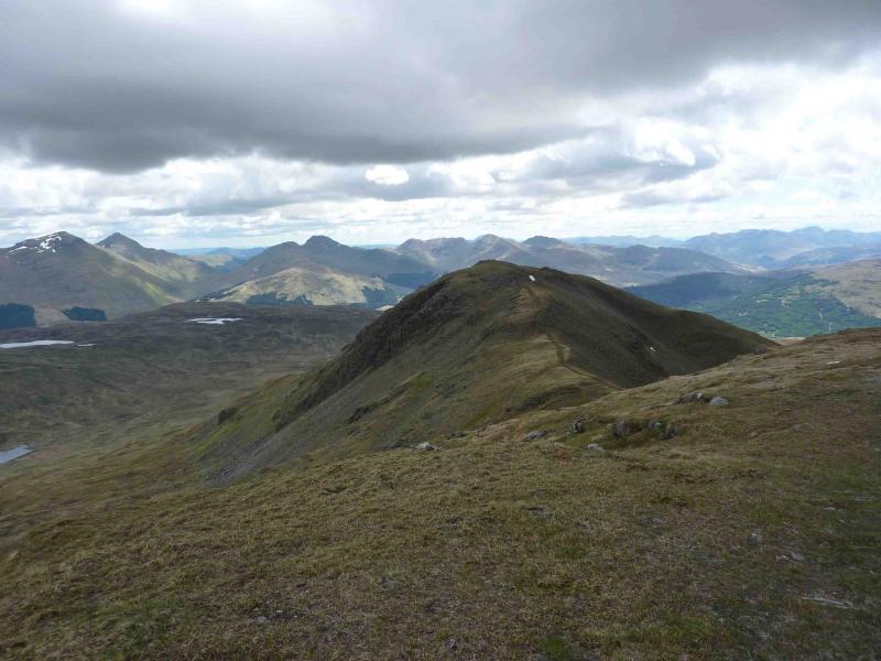
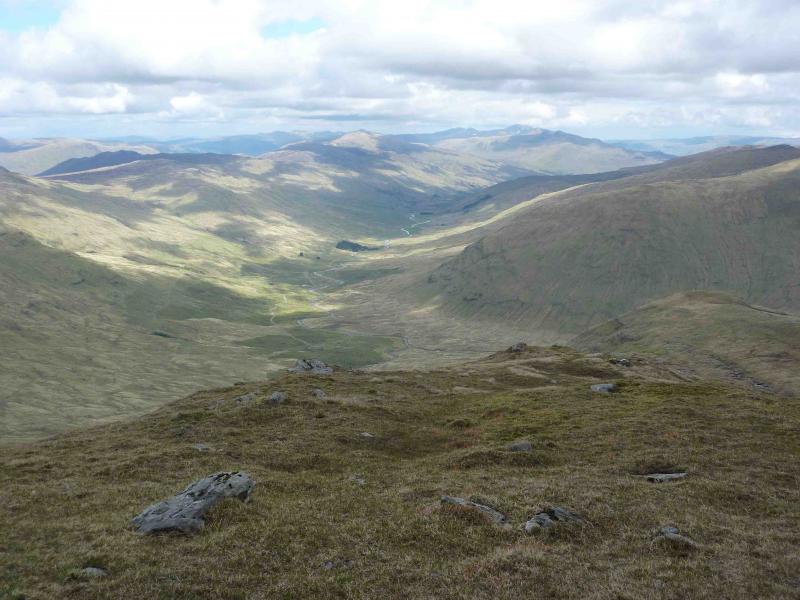
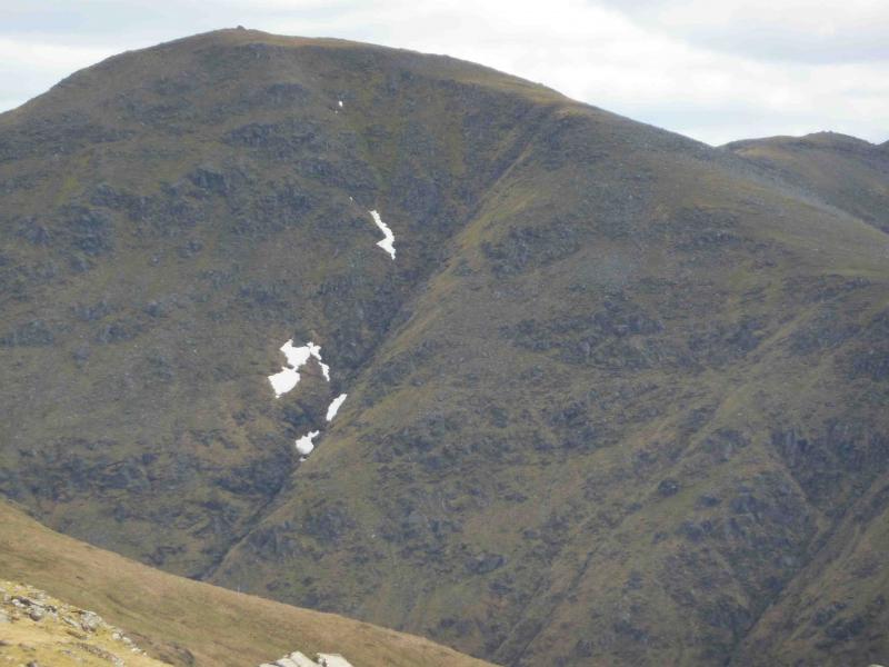
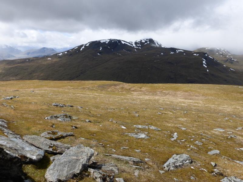
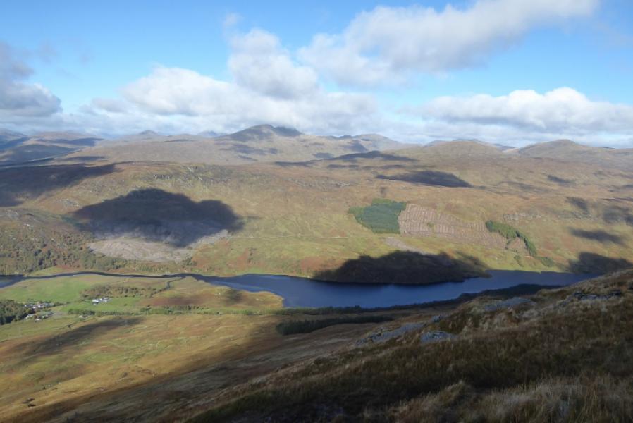
Oncethe good track in Glen Lochay is left,this is a tough walk with a lot of pathless terrain and some steep slopes. Navigation would be quite testing in mist. Nevertheless there are fine views in all directions including the Ben Lui range, the other Glen Lochay hills, the Crianlarich hills and the Bridge of Orchy hills. The track actually goes a lot further than is shown on the map and goes past the left, SE, side of Ben Challum to end at Lochan Chailein at about NN 402 306.
Route
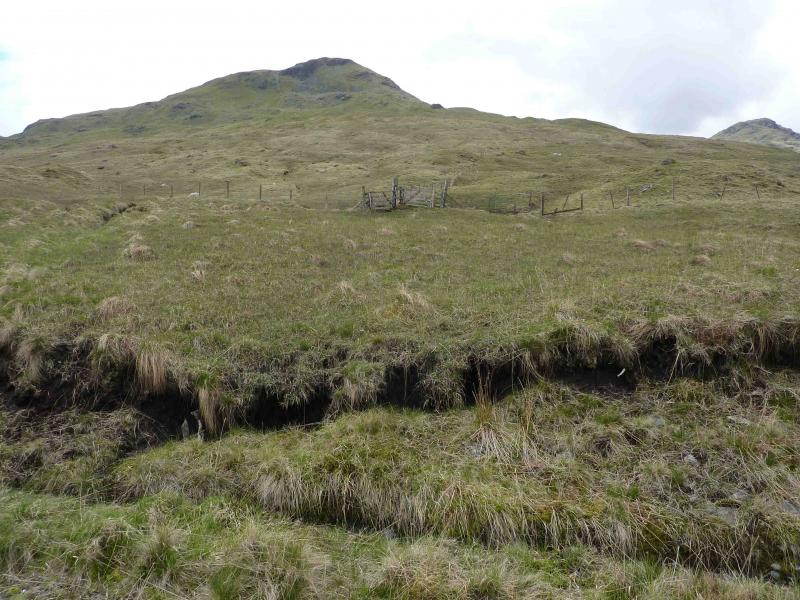
(1) Walk or cycle W along the track for about 8 km until the Allt Challum is crossed at NN 413 337. This, and all the other stream crossings are normally very easy. Continue along the track to where two adjacent gates are seen slightly uphill on the right. Start the ascent here by heading W/WNW up grassy slopes – gentle at first but gradually steepening. Aim for one of the defined ridges going WSW. One of them has a “cairn” on it which is actually a small square concrete base with a short piece of metal drainpipe sticking out of it. Higher up, crags are encountered but these are easily turned on steep grass – usually to the right. After this, the angle eases considerably before turning W on a flattish plateau. Walk W along this plateau until an obvious steep ridge rears up ahead. Ascend the grassy/rocky slopes to reach the very large summit cairn of Ben Challum, 1025 m.
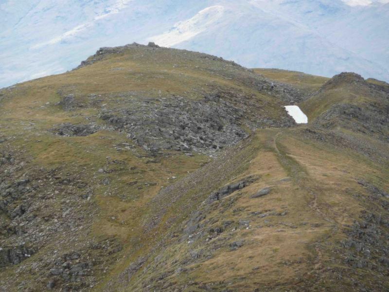
(2) Descend S on a good path which leads down to a narrow grassy bealach before a short ascent leads across a trench to the medium cairn of the South Top of Ben Challum, 997 m.
(3) Retrace to the main top and descend back to the grassy plateau. Either retrace the ascent from the glen or go E down a reasonably well defined grassy ridge to reach the glen about 1 km from the bicycle. Cycle back to the start.
Notes
(a) This walk took place on 24th May, 2010.
Photos - Hover over photo for caption. Click on to enlarge. Click on again to reduce.