Get Lost Mountaineering
You are here: Scotland » 01 South of Oban to Stirling and Fife » Ben Lomond, Crianlarich, Balquidder and Trossachs
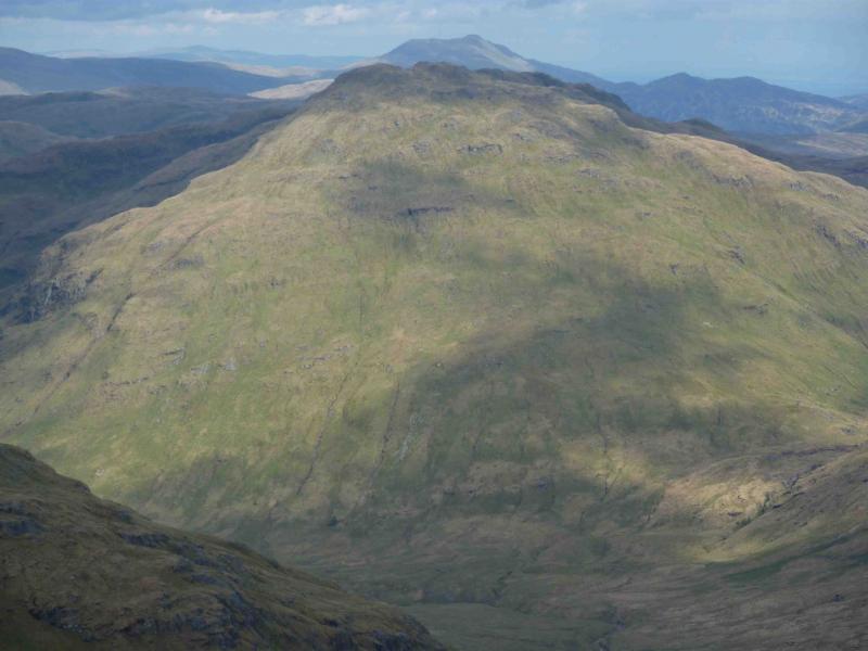
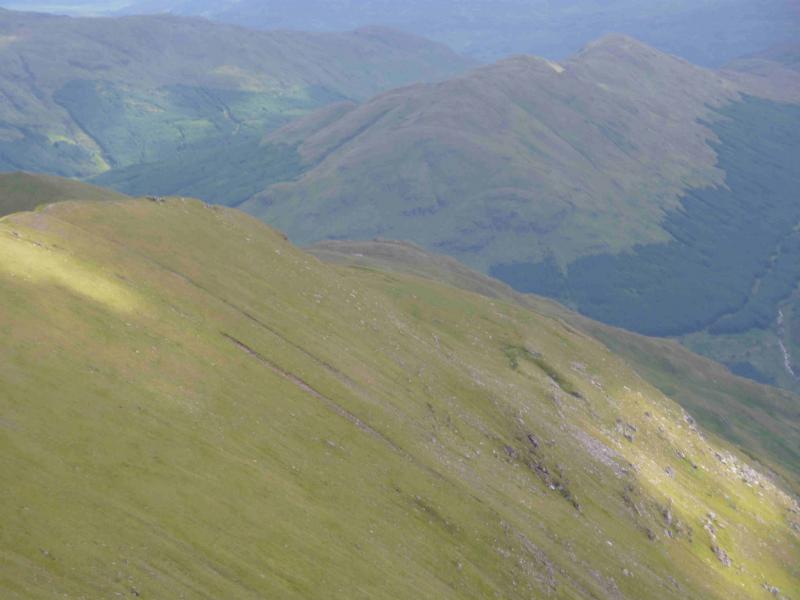
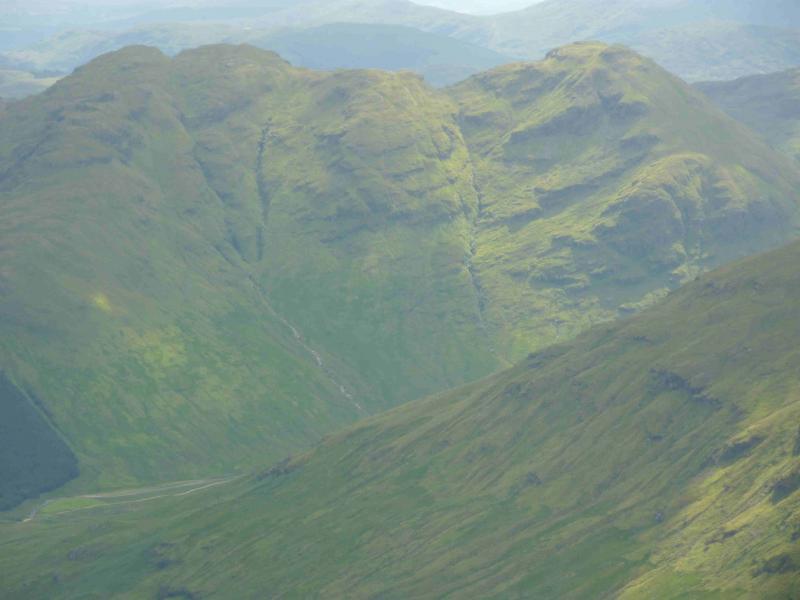
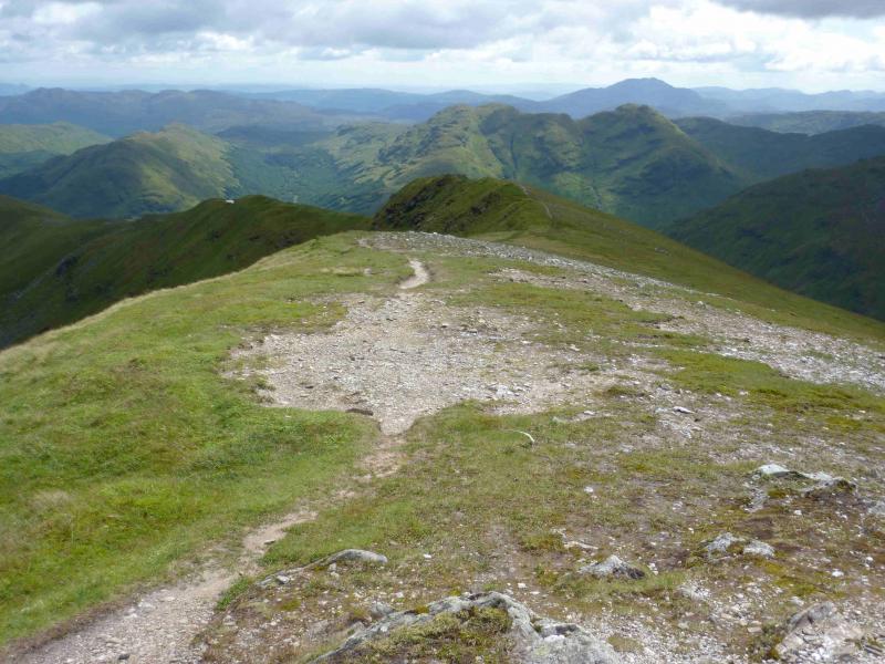
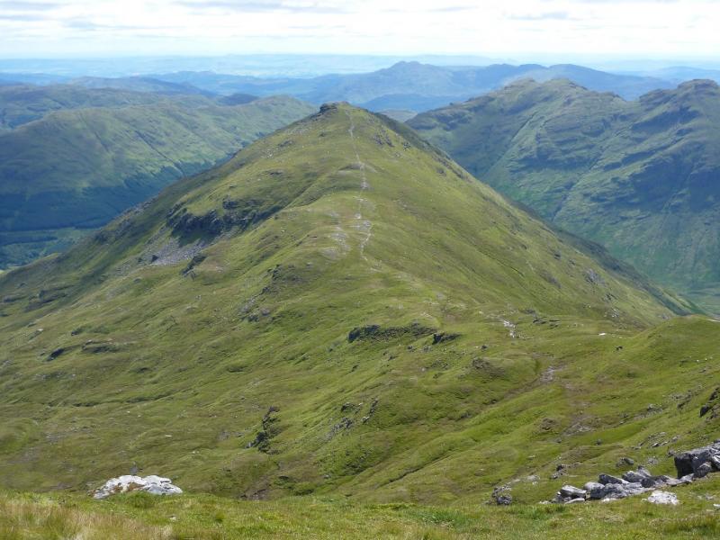
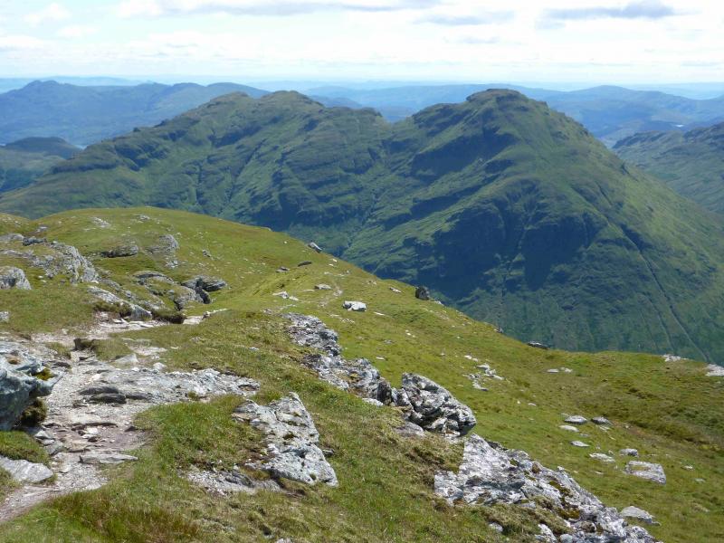
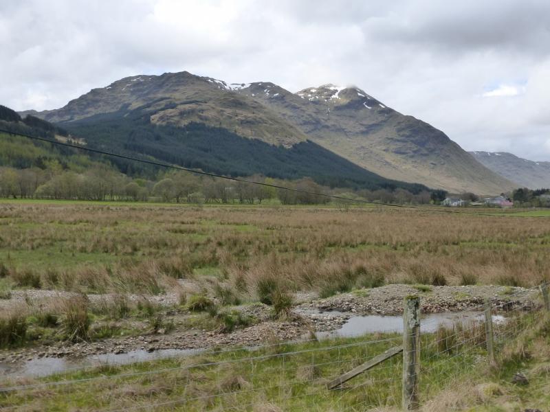
Stob a' Choin & Stob Breac from near Inverlochlairig, E of Balquidder
Stob a' Choin & Stob Breac from near Inverlochlairig, E of Balquidder
Start/Finish
Car park at end of minor road about 1 km E of Inverlochlairig and about 10 km W of Balquidder.
Distance/Time
15 km About 7 -8 hours
Peaks
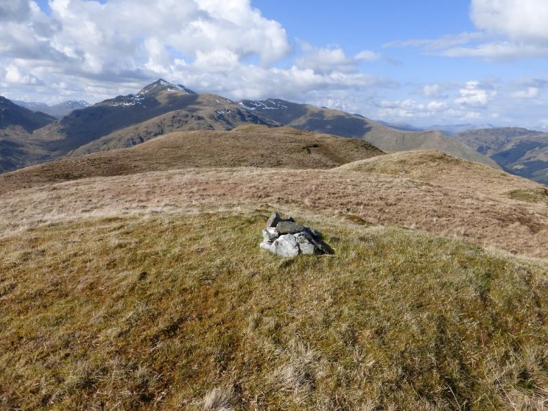
Stob a' Choin, 869 m, NN 416 159.
Stob Breac, 688 m, NN 447 166. OS sheet 57.
Introduction
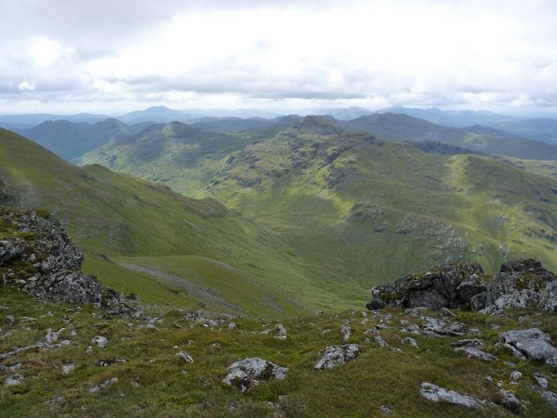
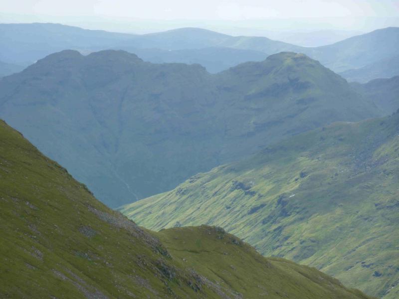
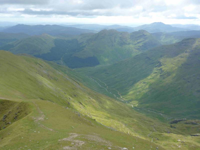
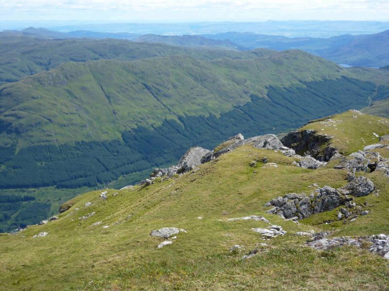
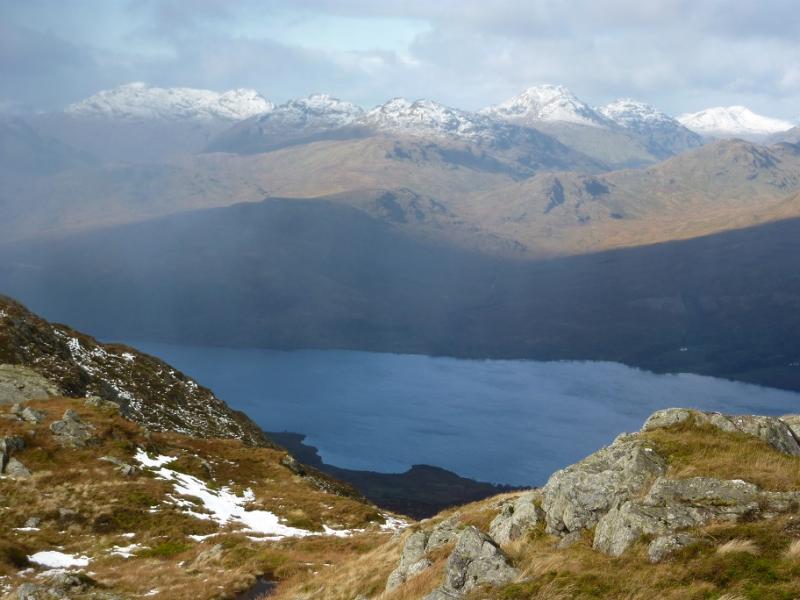
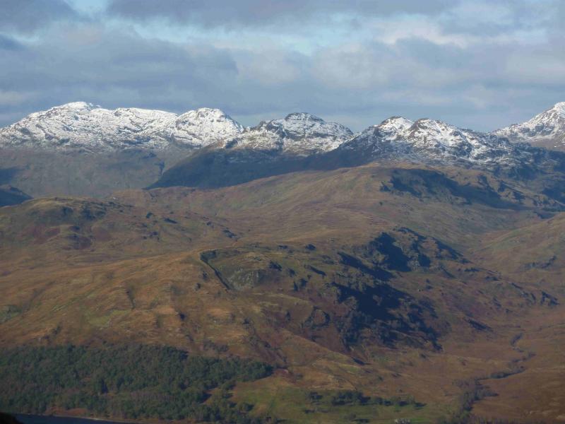
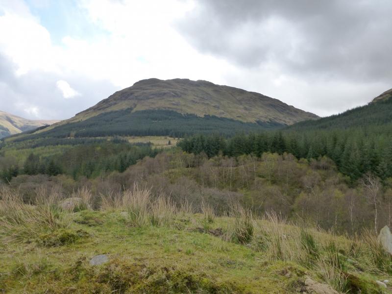
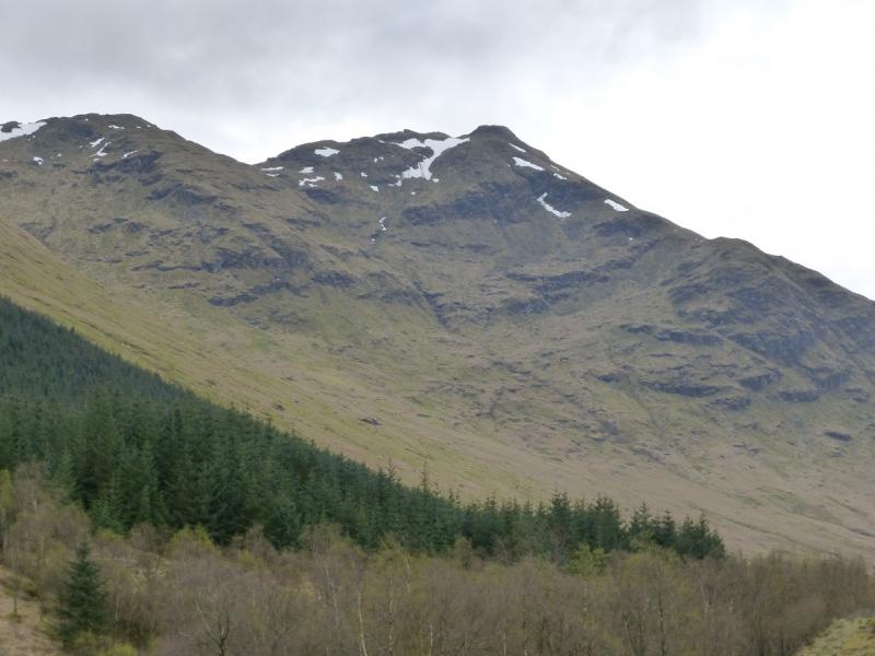
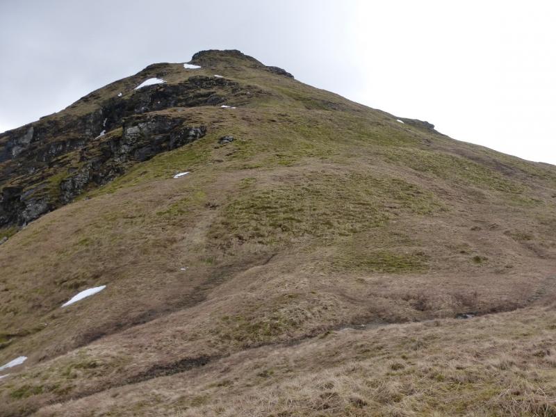
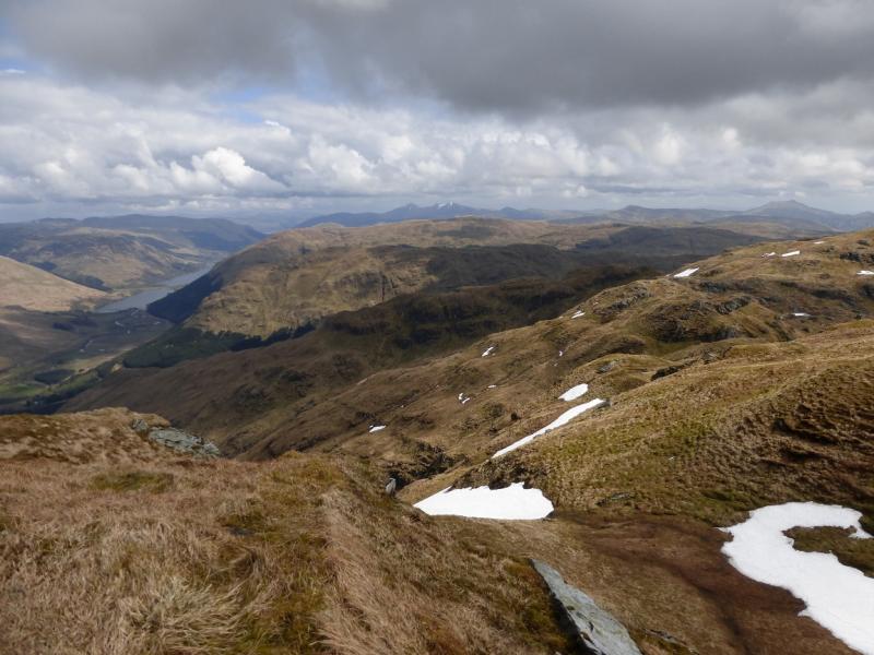
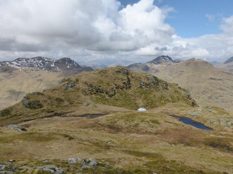
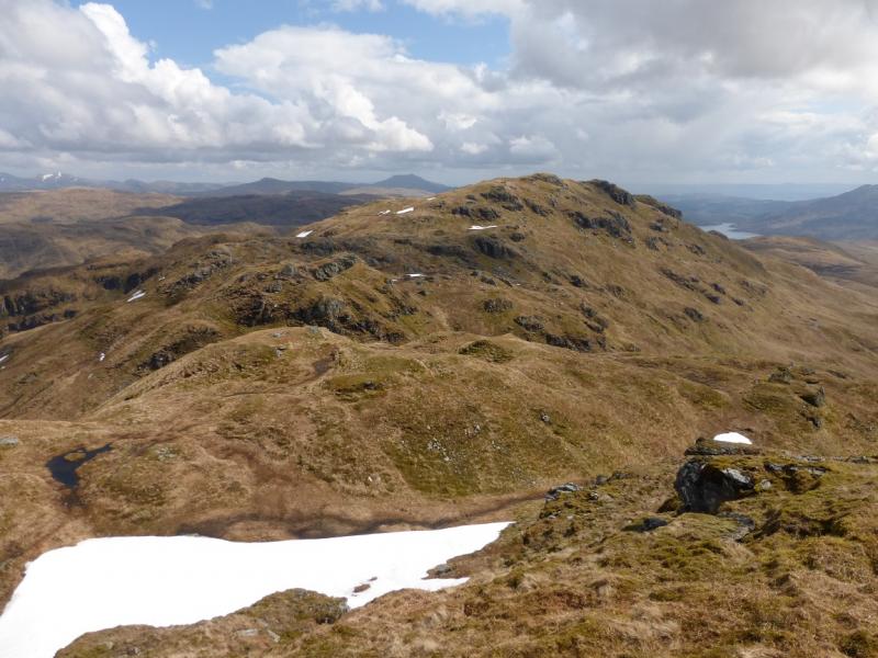
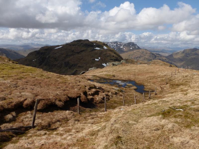
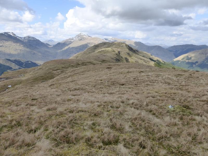
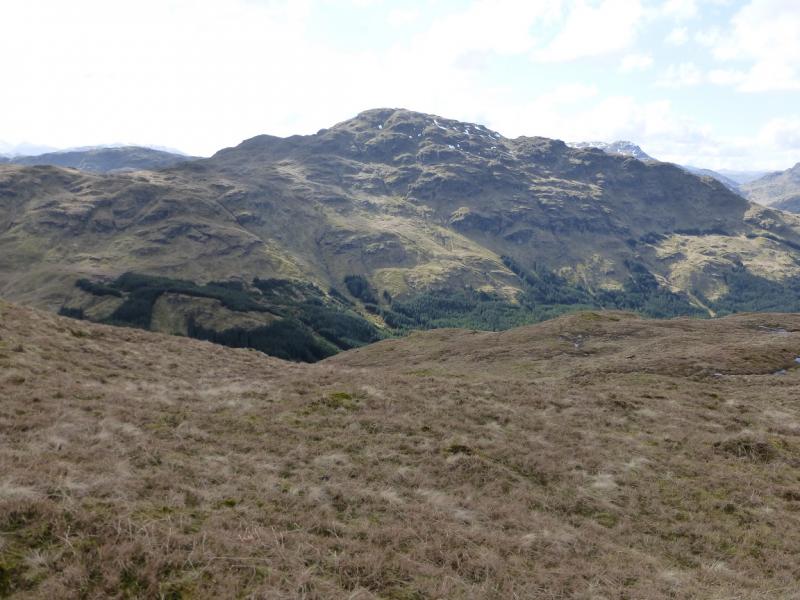
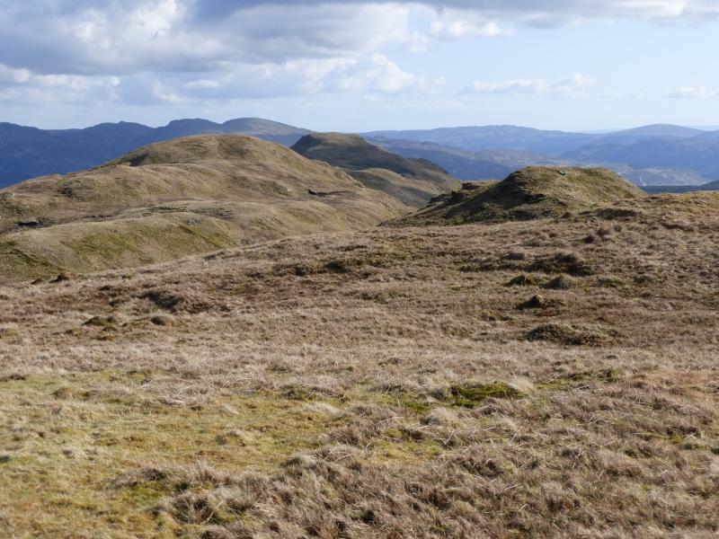
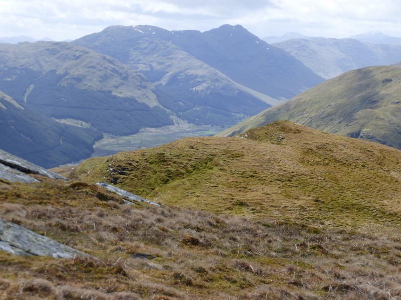
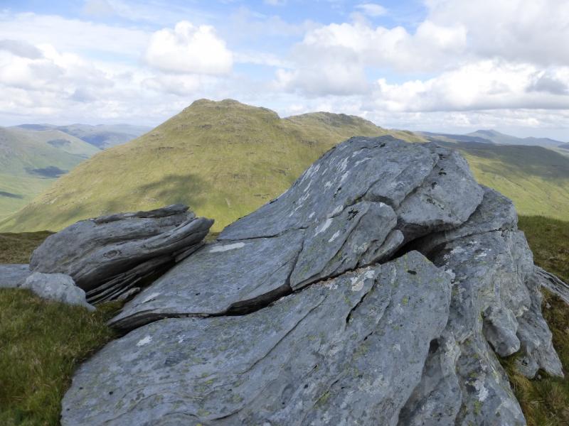
This is a rough and tough walk over a Corbett and Graham which offers excellent views including Beinn Chabhair, Beinn a' Chroin, Cruach Ardrain, Beinn Tulaiachean, Stob Binnein and Ben More across the Inverlochlarig Glen. To the west is Meall Mor then Beinn a' Choinn and Ben Vorlich, Ardlui. To the east is Ben Vorlich and Stuc a' Chroinn plus Ben Ledi and Benvane. To the South, lie Ben Lomond and Ben Venue. Much of this route is pathless on rough ground making for slow progress. The final ascent of Stob a' Choin goes up its north ridge which is uniformly steep and may be unnerving for some as a slip on its grassy slopes could result in a long slide or tumble which would likely result in serious injury or worse. The descent of Stob Breac is equally steep. Both of these would need ice axe, crampons and winter experience to tackle them under snow. The difficulty of the route finding on the steep sections means that this walk is best undertaken in clear conditions only.
Route
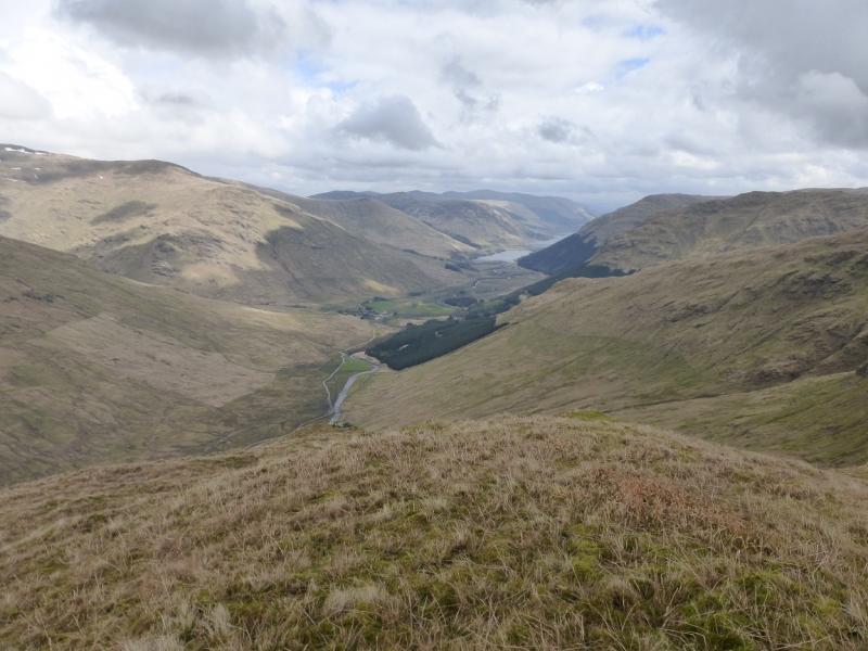
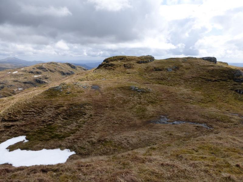
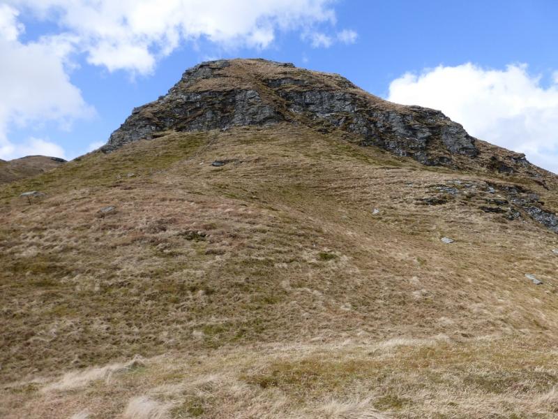
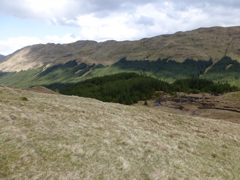
(1) From the car park, walk W along the track which is a continuation of the tarmac road. The track goes past the buildings at Inverlochlairig. Not far after the end of the wood, there is an obvious bridge across the River Lairig. Cross over then follow a gently rising traverse towards the short flat section on the N ridge of Stob a' Choin above Amar Stob a' Choin. There are a few easy crags to avoid but the major obstacle is the last stream to be crossed which seems to be in a deep rocky gorge. If this is reached and it looks uncrossable, follow it up and there is an easy crossingbetween two gorge like sections. Continue fairly easily although on steep grass to reach the flat spot on the N ridge. Walk carefully up the N ridge. It is possible to weave around but you are unlikely to find easier ground. The angle does not ease until you are almost at the N top which is marked by a small cairn. Go S, descending slightly, then cross a short gap to reach the medium cairn on the other side which marks the summit of Stob a' Choin, 869 m and sits on an outcrop. There is a sheltered hollow nearby.
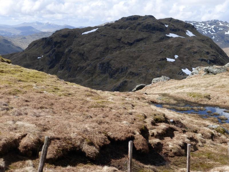
(2) Follow the crest roughly E then SE. An old fence provides a useful guide. There are some deep dips on the crest but none of the tops have cairns. Some of the ground is steep in places. When the last top is reached, the far E Top, descend S following the same fence. Almost immediately reach a crag. The safest way down is to go left and use a grassy groove to reach safer ground. Alternatively, when you are in the last dip before the E top, contour around to below this crag. The contouring starts from the remains of an old gate. From below the crag, aim for the S end of the forestry between Stob a' Choin and Stob Breac. Much of the descent is on easy grassy slopes but there is a gully to descend lower down. It is fairly broad and has a prominent standing stone in it. Reach the bealach then continue up the other side following a deer fence. There is a stile if you wish to climb over it here or just keep walking uphill with the fence on your left. On 24/4/14, there was no need to climb over the fence as it had fallen down higher up but it may get repaired … Follow the fence on to the crest then walk N over many tops and dips until a top is reached, at the N end of the crest, with a tiny cairn which marks the summit of Stob Breac, 688 m. No other top has a cairn.
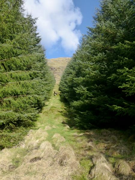
(3) The descent is down the W flank and is on very steep grass with crags to be avoided. From the summit, descend W down, initially, gentle grassy slopes. When they steepen, turn NW and try to make a descending traverse. Keep looking down to the forestry. When you spot an obvious fire break, you need to pick a way down to it. When you get quite close, an awkward crag blocks the way so outflank it to the left, S, before you reach it. You should be able to see continuous grassy slopes there which reach the edge of the forest. The forest throws a spur of trees, two trees wide, up from the S end of the firebreak but these are easily walked through. The ground in the firebreak is still fairly steep and also wet and boggy but soon the forestry track is reached. Follow this N. When it meets another track, go left. Lower down, at the bottom of the forest, go right, past an old cottage. Cross the river then go right and follow the track back to the start.
Notes
(a) This walk took place on 24th April, 2014. Both hills were also climbed on 22nd March, 2008, but Stob a' Choin was ascended to its E top before walking along its crest to the summit then following the above route to Stob Breac.
Photos - Hover over photo for caption. Click on to enlarge. Click on again to reduce.