Get Lost Mountaineering
You are here: Scotland » 04 Loch Leven and Loch Linnhe to Loch Ericht » Loch Trieg to Loch Ericht & Dalwhinnie
Beinn Pharlagain, Sgor Gaibre & Carn Dearg from Loch Eigheach
Beinn Pharlagain, Sgor Gaibre & Carn Dearg from Loch Eigheach
Start/Finish
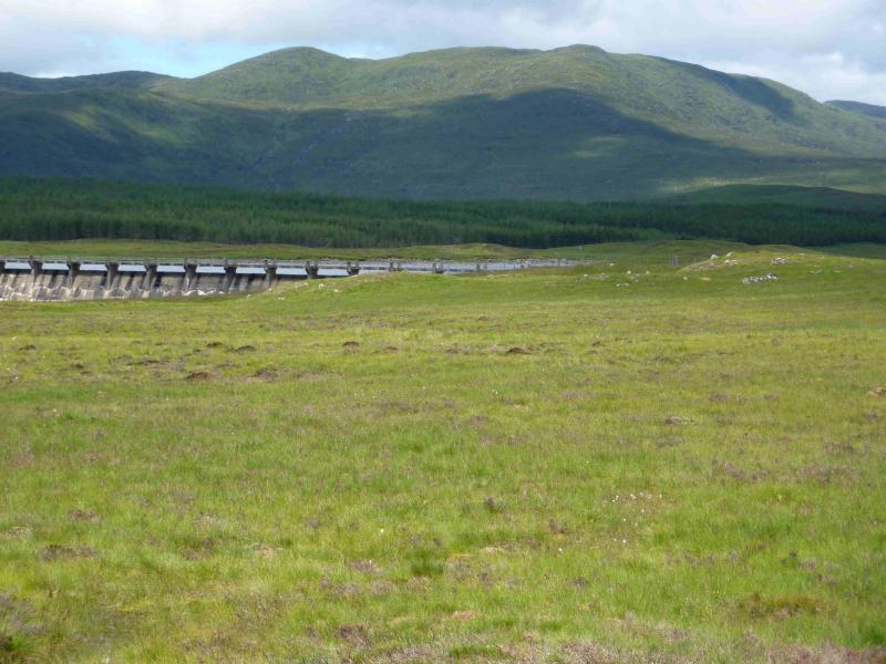
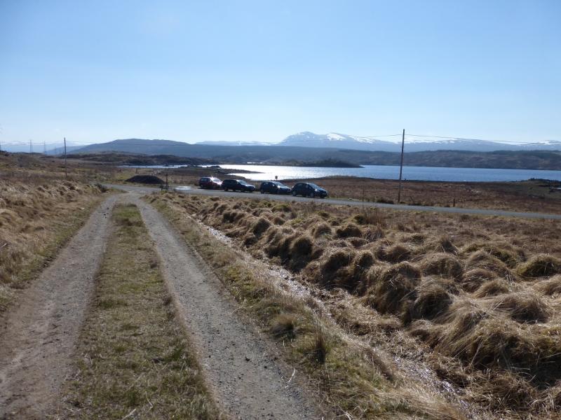
Small lay by on B846 by Loch Eigheach, at NN 446 578, about 1.5 m east of Rannoch Station where there is parking for about 5 cars. The road to Rannoch Station is long, slow and narrow. If staying at Killin, it is about a 50 mile drive! If staying near Bridge of Orchy or north of Tulloch, one can catch the train to Rannoch but the train timetable can be quite restrictive.
Distance/Time
26 km About 8 - 9 hours
Peaks
Beinn Pharlagain (Meall na Meoig), 868 m, NN 448 642.
Sgor Gaibre, 955 m, NN 444 674.
Sgor Choinnich, 929 m, NN 443 683.
Carn Dearg, 941 m, NN 417 661. OS sheet 41.
Introduction
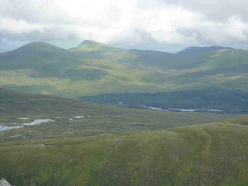
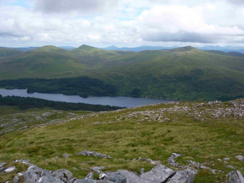
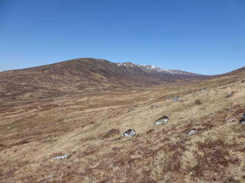
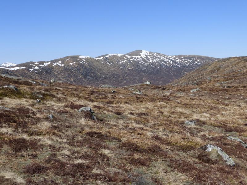
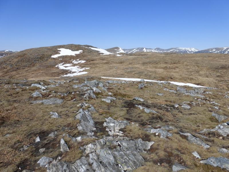
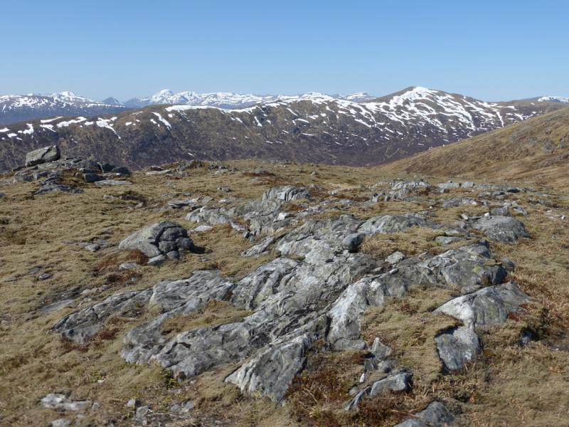
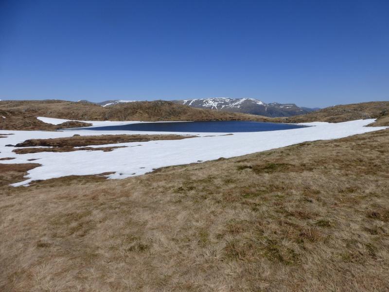
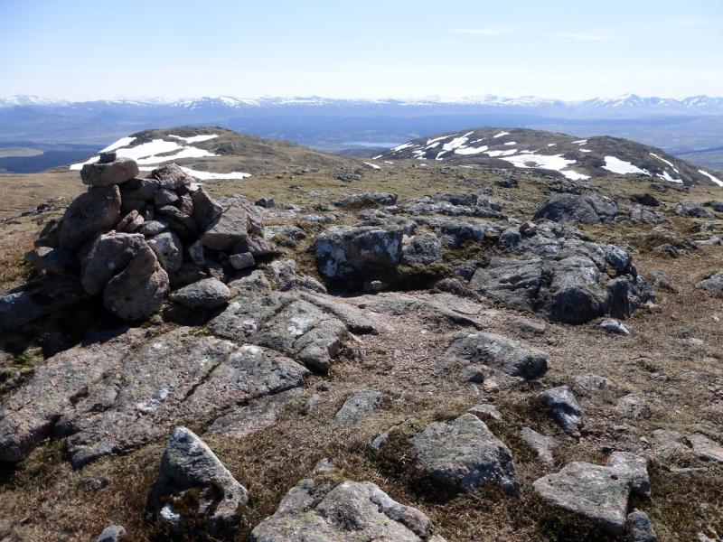
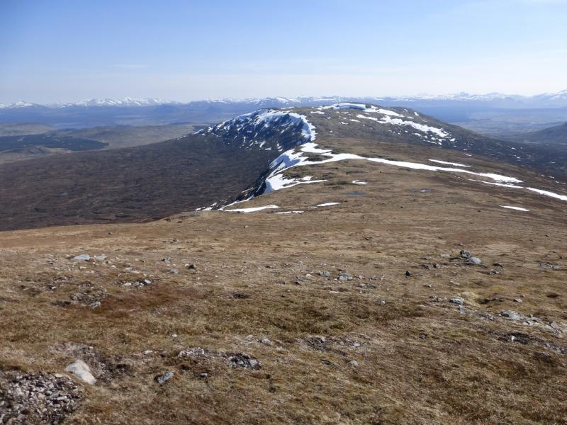
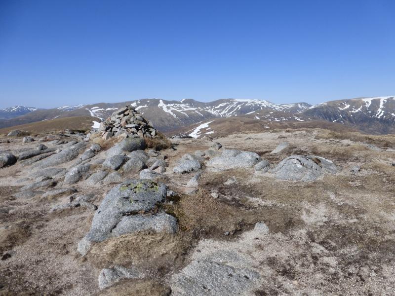
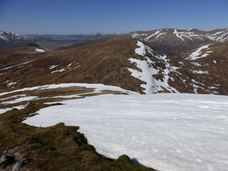
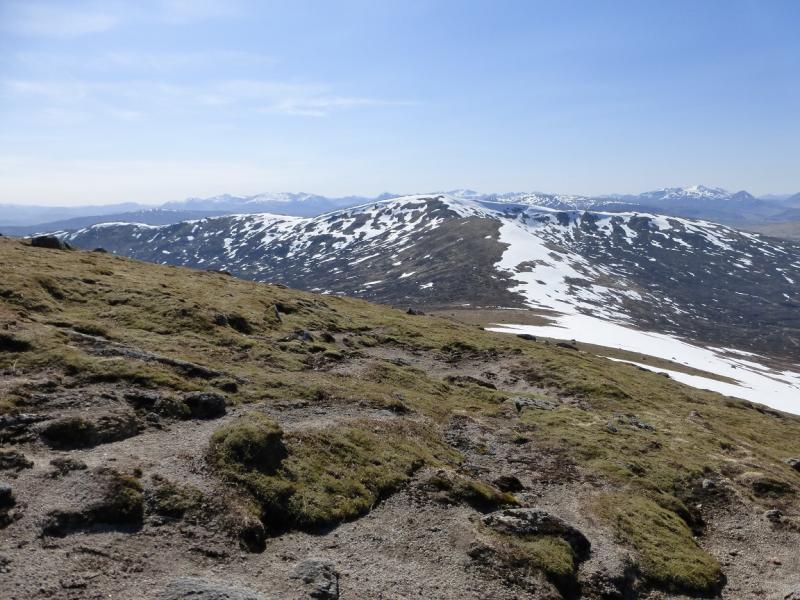
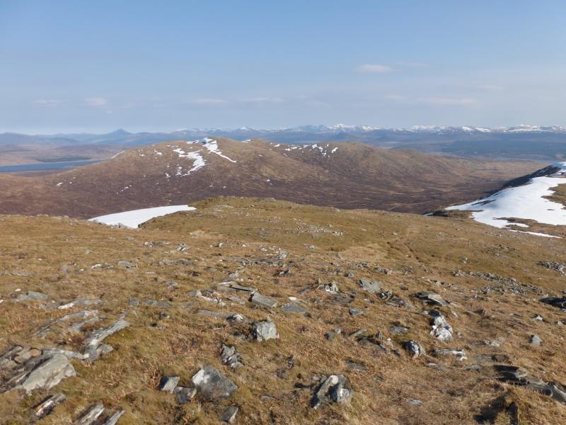
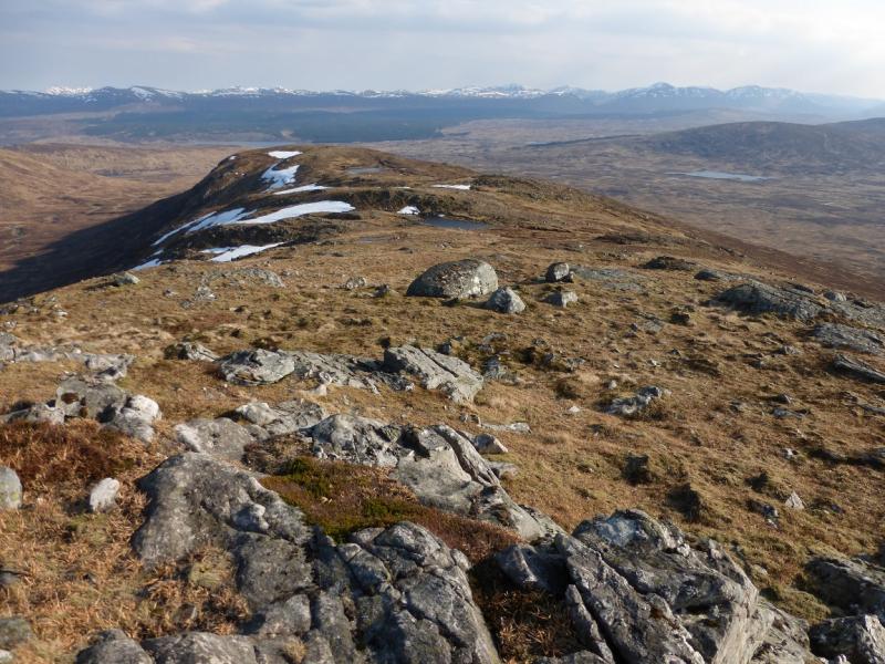
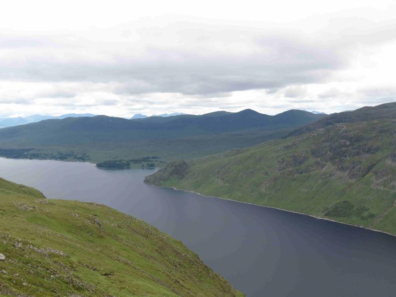
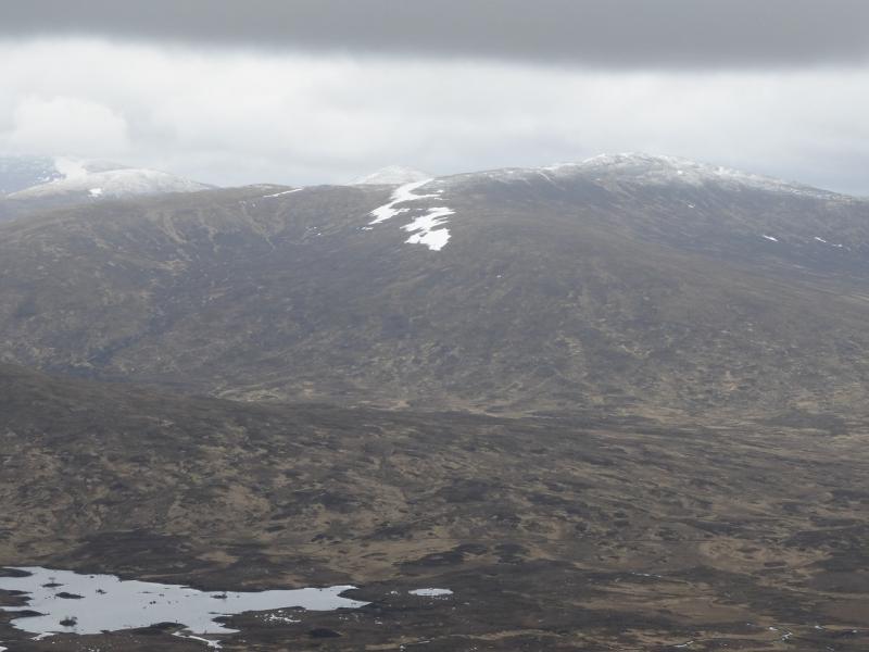
This is a long and tough walk with much of it over pathless terrain but the views in all directions are stupendous and include Ben Alder, the Beinn Eibhinn range, Schiehallion, Buachaille Etive Mor, the Easains and many more. The Beinn Pharlagain ridge is quite complex with many tops and would be very confusing in mist especially as there is hardly a hint of a path. Do this on a clear day for the views!! Note that the N and E flanks of all these mountains can hold snow well into Spring and it would not be unusual to encounter cornices and long steep snow slopes even in late April so go prepared.
Route
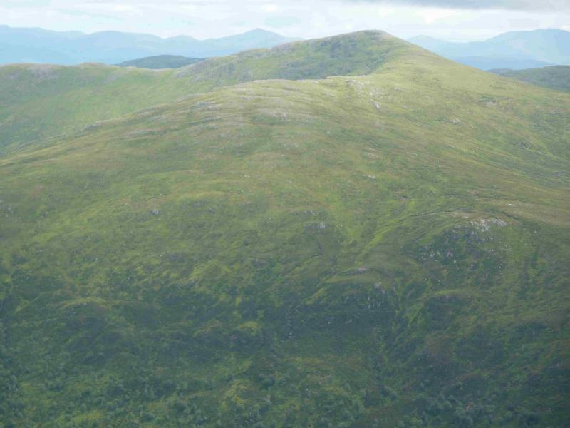
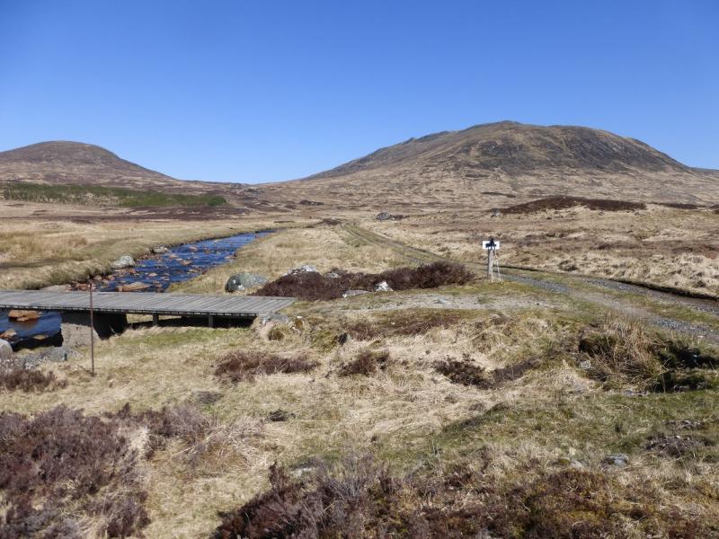
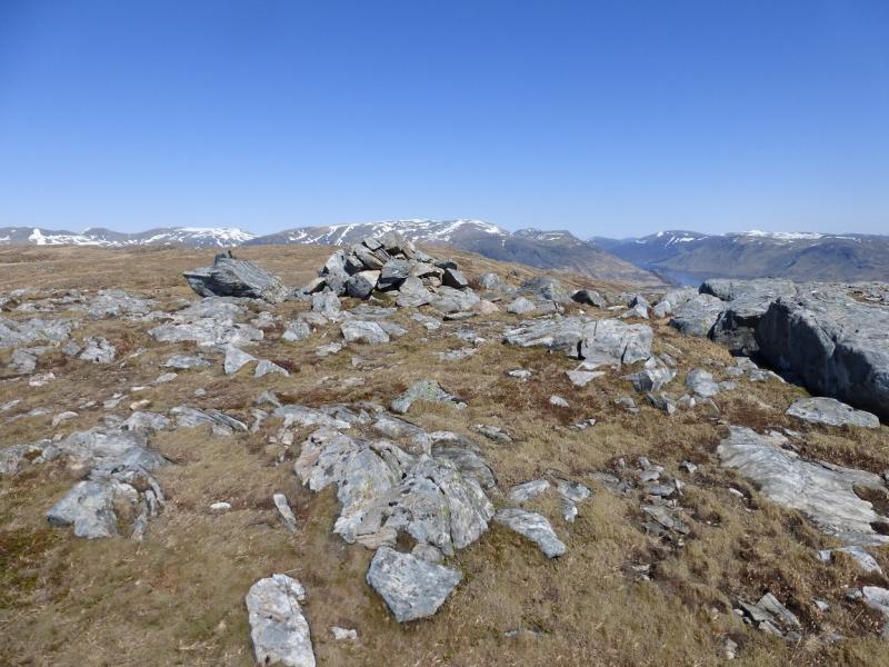
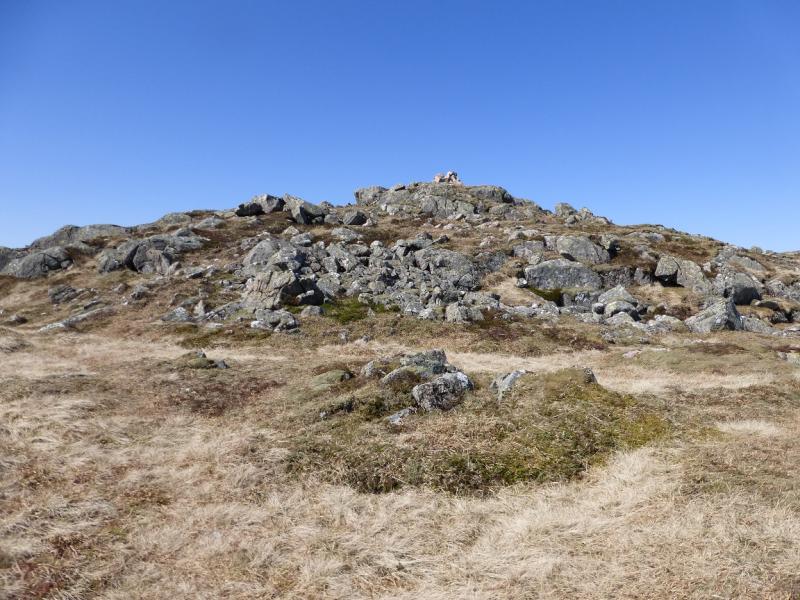
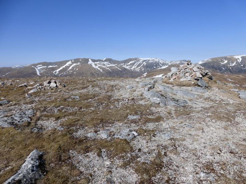
(1) Walk up the track opposite the lay by for about 3 km to reach a bridge over the Allt Eigheach. Do not cross over but continue on a rough ATV track which shadows the river before turning nearer to Beinn Pharlagain. Leave this track when it stops ascending and walk up moderately steep, but easy, grassy slopes to reach the crest. Follow this over many tops and dips until the first cairn is reached on Pt 807. Continue NE, over a dip, to a ridge then follow it NW to the medium cairn which marks the summit of Beinn Pharlagain, 868 m.
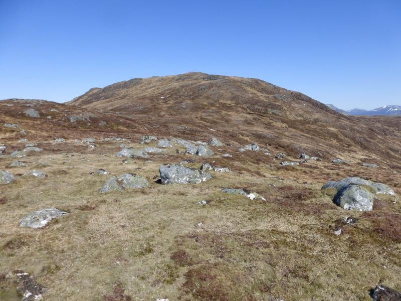
(2) From the summit, descend E towards Lochan Meoigeach, perhaps going a little to the SE first to avoid potentially difficult ground. Gain the ridge going N above the lochan and follow it down into the broad col below Sgor Gaibre. Ascend moderately steep, but grassy, slopes to reach a medium cairn which marks the summit of Sgor Gaibre, 955 m.
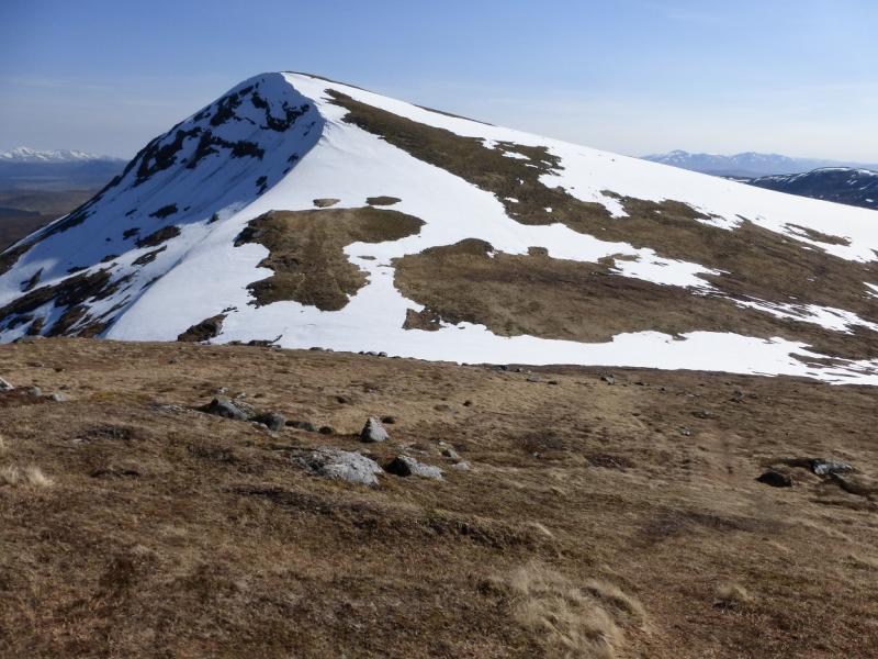
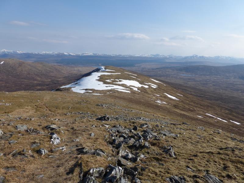
(3) Descend the NNW ridge, on a path, but in winter, this edge may be corniced and steep snow slopes may have to be crossed. Reach a well defined col then ascend moderately steep, but grassy, slopes, on a path, to reach a medium cairn which marks the summit of Sgor Choinnich, 929 m.
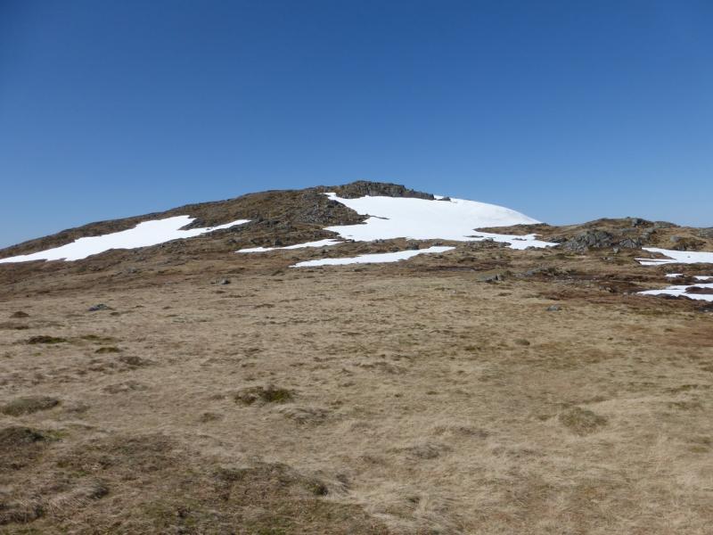
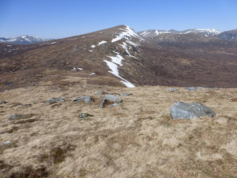
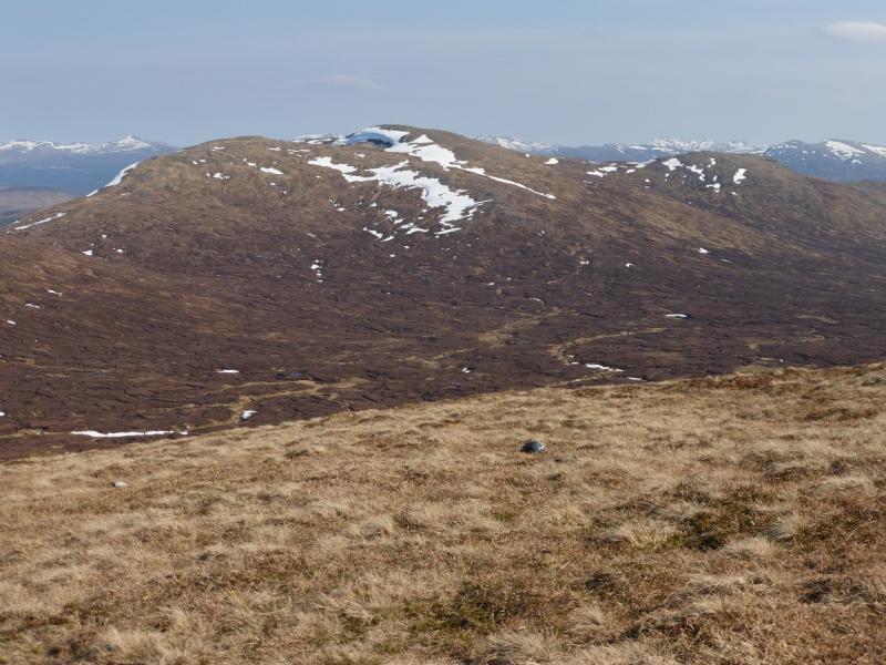
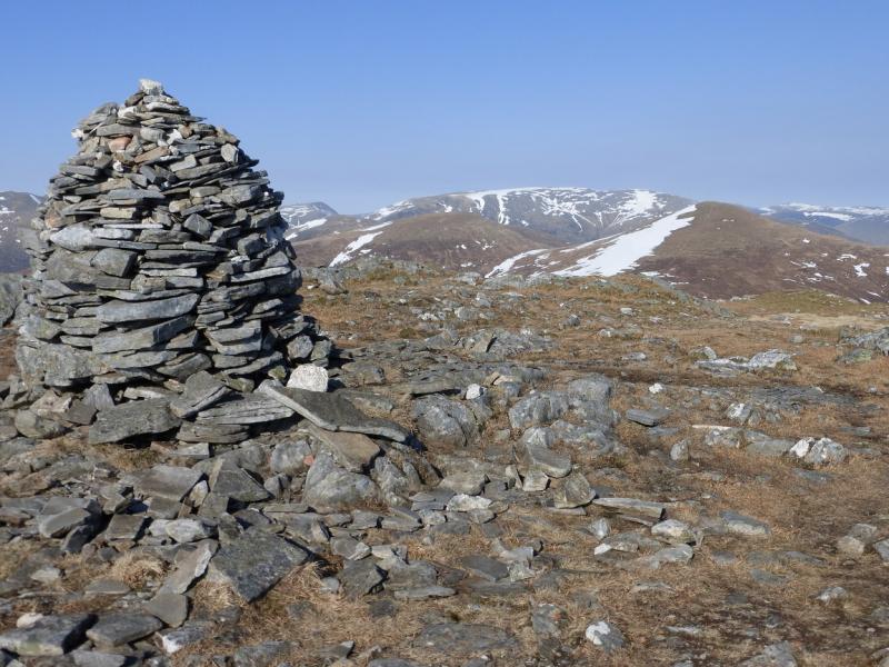
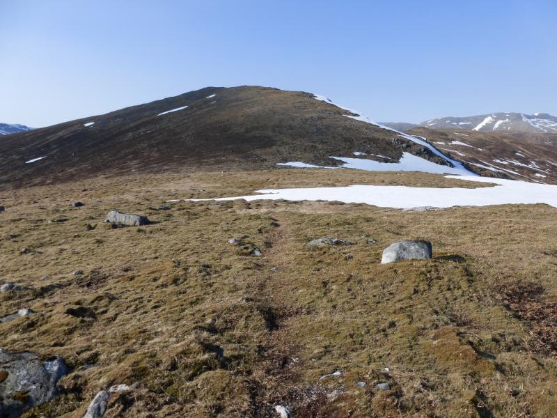
(4) Retrace the path back towards the col but lower down. Contour SW towards Mam Ban which is the col between Sgor Gaibre and Carn Dearg. Some of this ground can be boggy. From the col, follow a reasonably well defined path up the ENE ridge to reach a tall, well built, cairn which marks the summit of Carn Dearg, 941 m. In winter conditions, some large snow fields may have to be crossed below the summit.
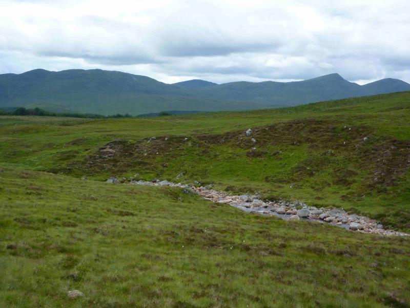
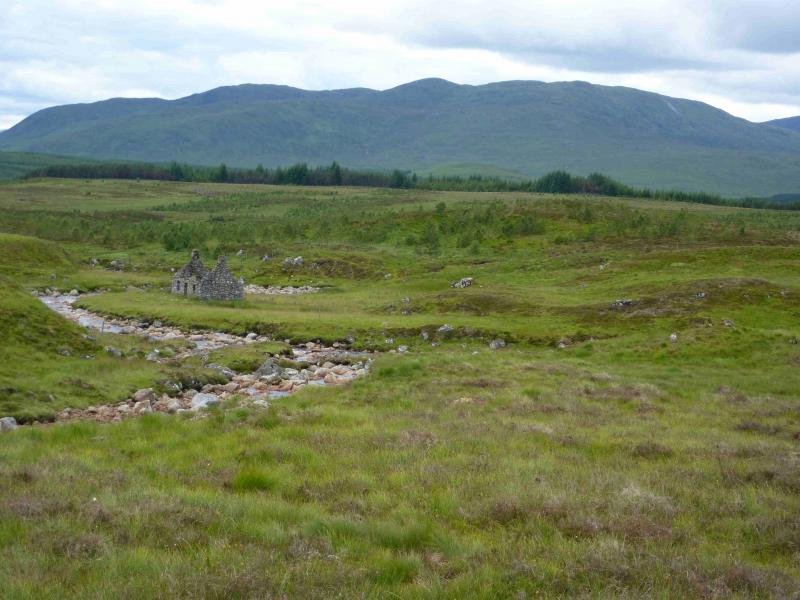
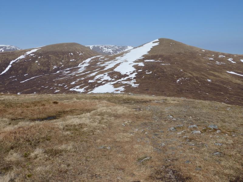
(5) Descend the long S ridge of Carn Dearg. There is a path as far as Sron Leachd a' Chaorainn, the S end of the ridge. After this the path is difficult to follow so aim for the gravel track coming in from the NW. An Atv track may be found lower down which leads to this track. Follow the track SE to a ford over the deep river. About 300 m further is the bridge passed on the outward section. Cross the bridge and walk back along the track to the start.
Notes
(a) This walk took place on 31st May, 2005, and 20th April, 2014. The Munros, including the top, were also walked from Corrour on 29th July, 1994.
(b) It is possible to cycle from the start to the bridge which is about 3 km each way.
Photos - Hover over photo for caption. Click on to enlarge. Click on again to reduce.