Get Lost Mountaineering
You are here: England » Peak District » Bleaklow & Howden Edge from Torside, Woodhead & Langsett
Bleaklow Stones & Bleaklow Head via Far and Near Black Cloughs from start of Woodhead Tunnels
Bleaklow Stones & Bleaklow Head via Far and Near Black Cloughs from start of Woodhead Tunnels
Start/Finish
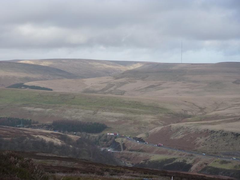
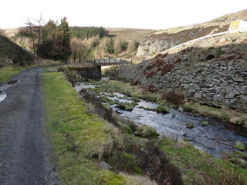
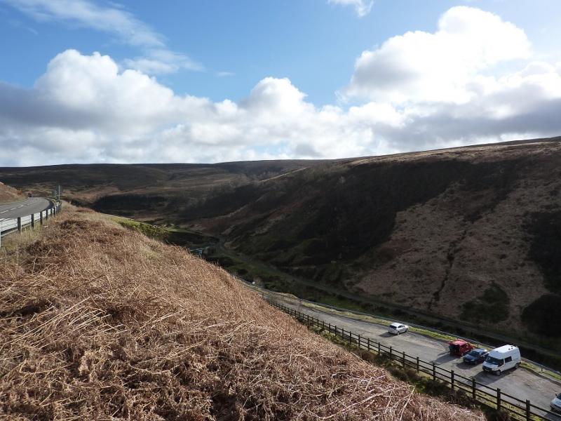
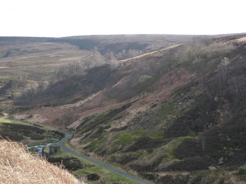
Car park near the start of the Woodhead tunnels. This is near the bridge over the River Etherow at SK 113 998. If coming from Crowden or Glossop on the A628, Woodhead Pass road, go past the viaduct over the northern spur of Woodhead Reservoir. About a mile further east is a very large and deep car park, well used by lorries and HGV's, which has a cliff at its back and, usually, a portable snack bar. Continue east. On the next bend are two smaller car parks on the left. Keep going and pass a lay by on the left. In about 400 m, there is reverse fork on the right which leads down to a car park. If this is full use any of the other parking places mentioned above and use a path/track from the bend down to the car park. This turning is harder to spot if coming from the Sheffield direction but if you miss it, just turn around.
Distance/Time
13 km About 4 - 5 hours
Peaks
Bleaklow Stones, c620 m, SK 112 965.
Bleaklow Head, 633 m, SK 092 958. OS 1:50 000 Sheet 110.
OS Outdoor Leisure 1: Dark Peak.
Introduction
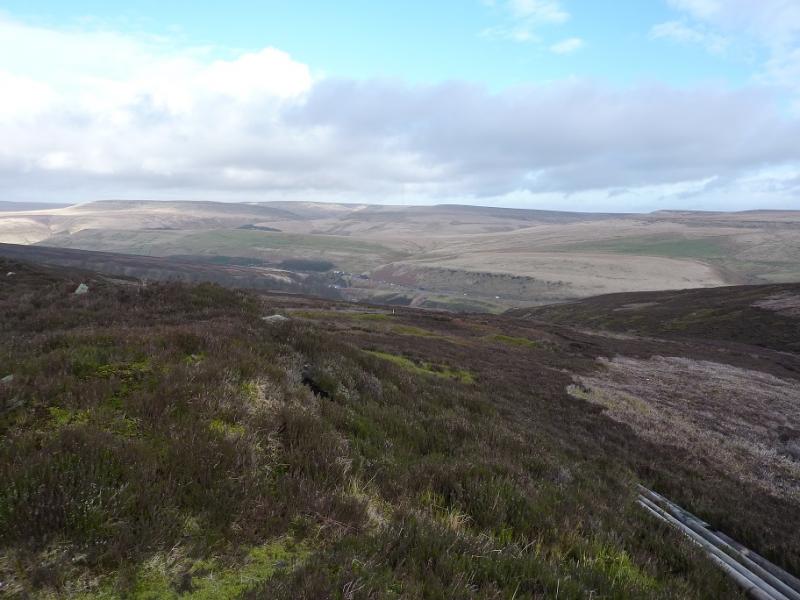
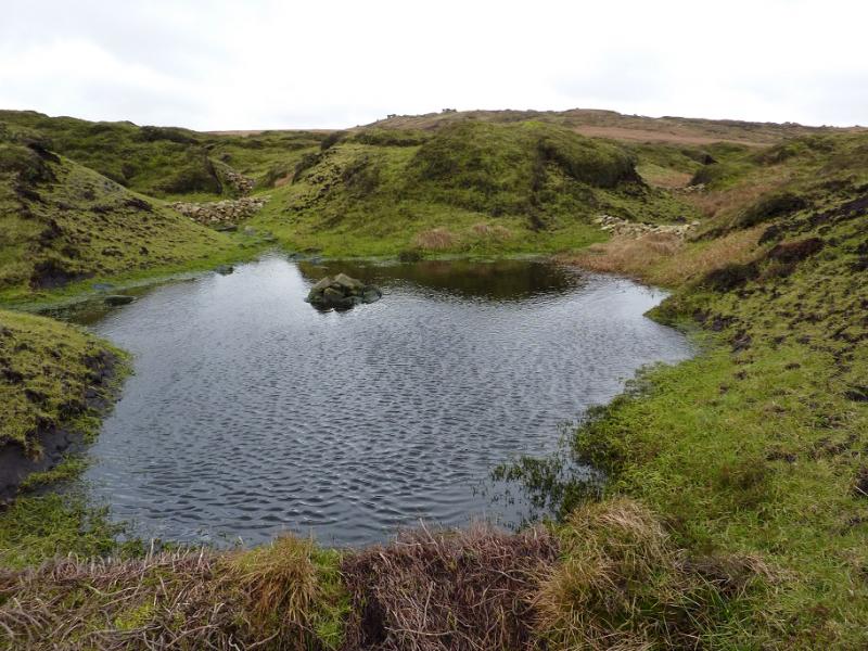
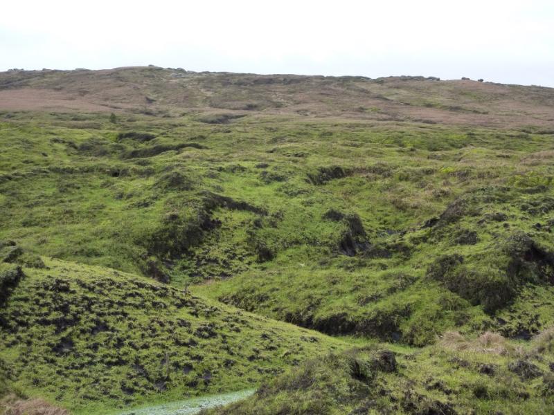
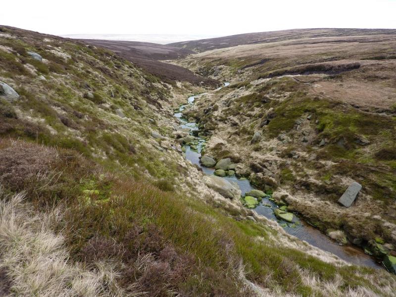
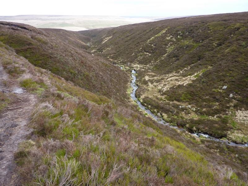
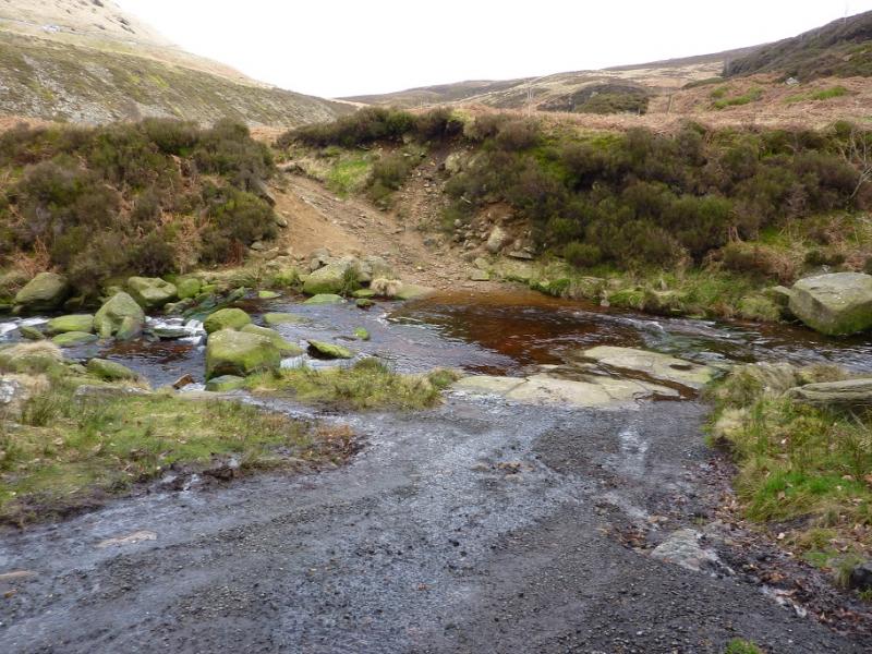
This is a fine, but tough, walk in the Dark Peak which, in good weather has good views of the surrounding countryside including Black Hill, the Howden Edge and Kinder. Some of the going is quite boggy, even in a dry spell, and gaiters are recommended. This walk can easily be accomplished on a short winter's day. It is recommended when the ground is frozen as that makes it less boggy! Even in clear weather, navigation can be challenging from upper Far Black Clough to Bleaklow Stones, from Bleaklow Stones to Bleaklow Head and in upper Near Black Clough. In thick mist, route finding needs a lot of experience on this very featureless terrain so save it for a clear day. The ford at the bottom of Near Black Clough has to be crossed to reach Far Black Clough; this may be difficult in spate conditions in which case it may be better not to cross the bridge but stay on the N side of the river, most of which goes up Near Black Clough, and cross the smaller stream coming from the east.
Route
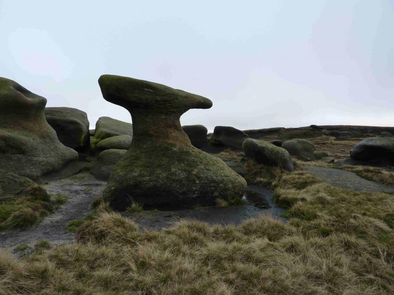
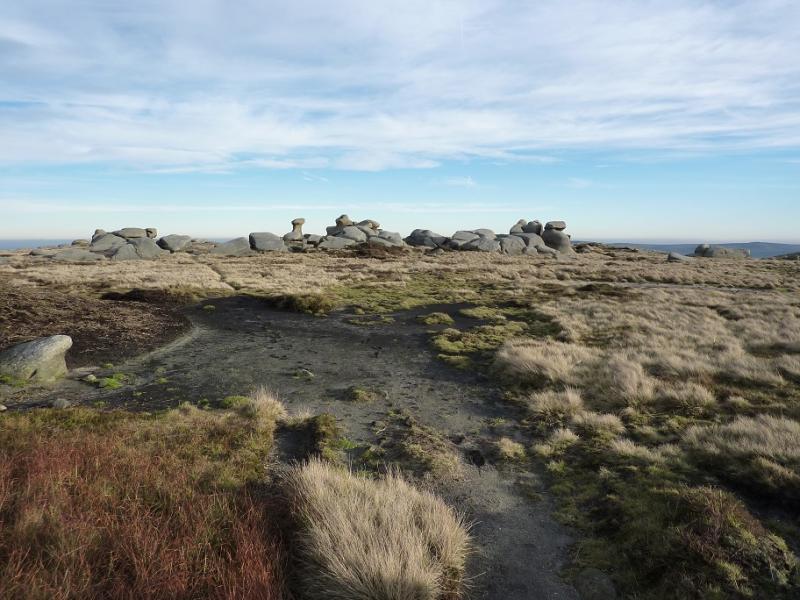
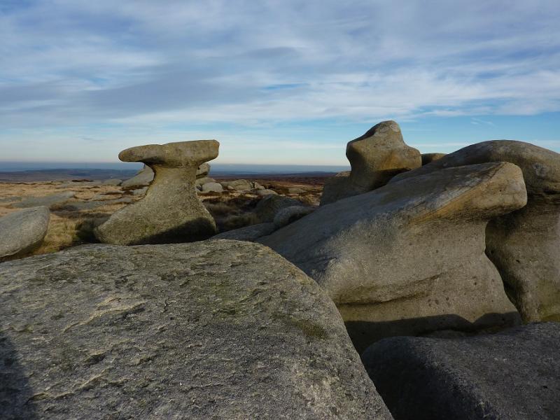
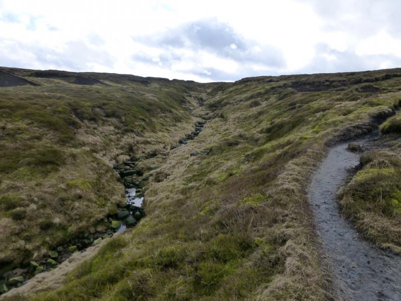
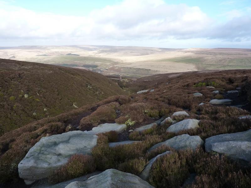
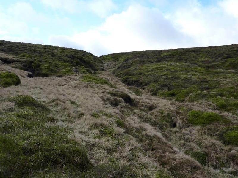
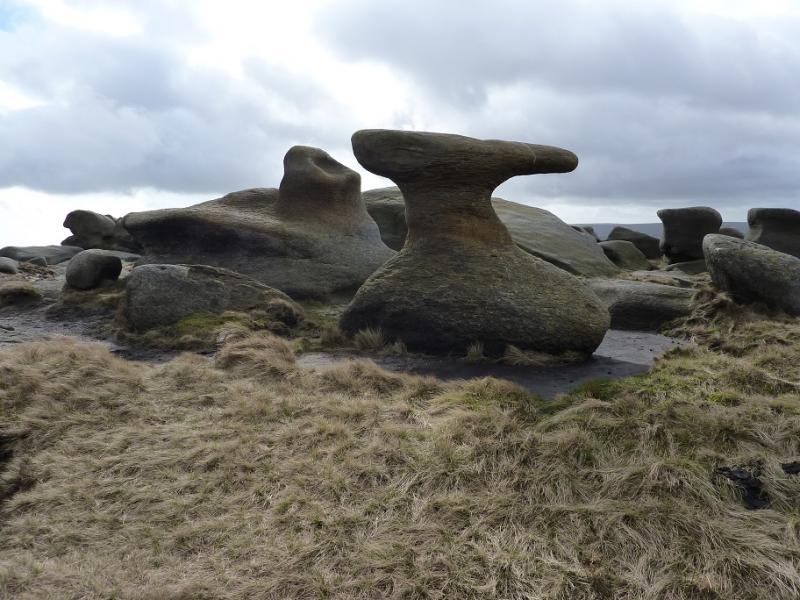
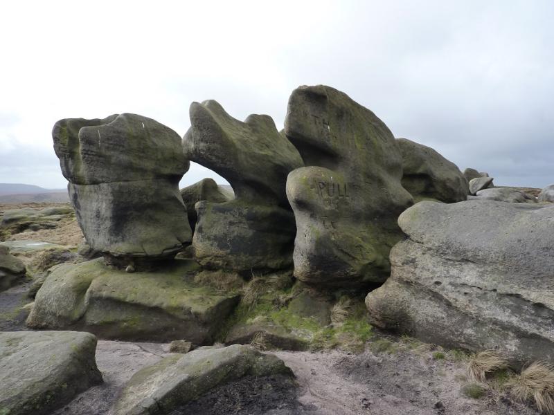
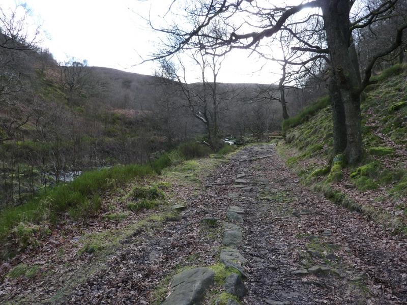
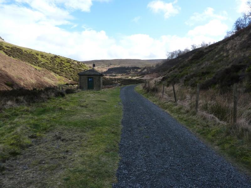
(1) From the car park by the bridge over the River Etherow, cross the bridge and follow the track east to soon reach the ford. Cross over and follow the track up the E bank of Far Black Clough to its end at a large “car park”. An obvious path takes over. Follow this up the side of the clough. It is quite boggy in places but easy to follow. Higher up, it does get fainter before becoming difficult to follow. Try to follow the main stream which is heading roughly SSE. Higher up, there are lots of low “dams” made of stones which are part of the conservation process currently underway. Assuming you are doing this walk in clear weather, the Bleaklow crest should now be obvious with the large mound being Bleaklow Stones. Once you join the crest, paths will be obvious and these lead up to the many rock sculptures, such as an anvil, which mark Bleaklow Stones, c620 m. There are plenty of rocks to shelter behind in bad weather.
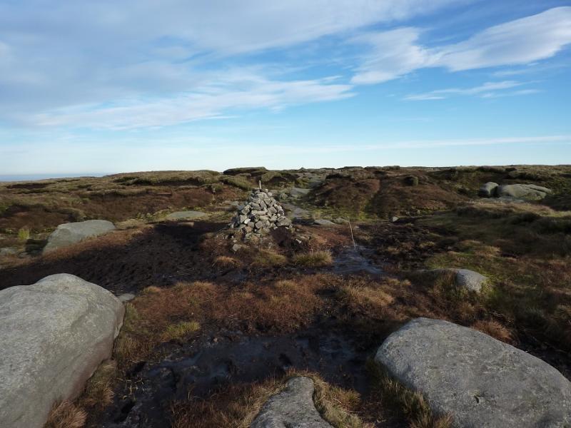
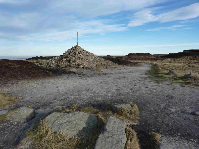
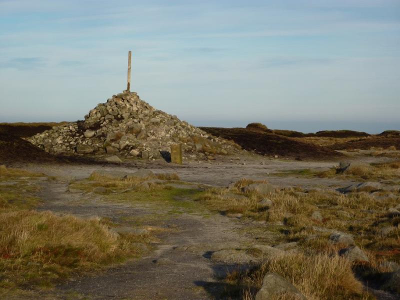
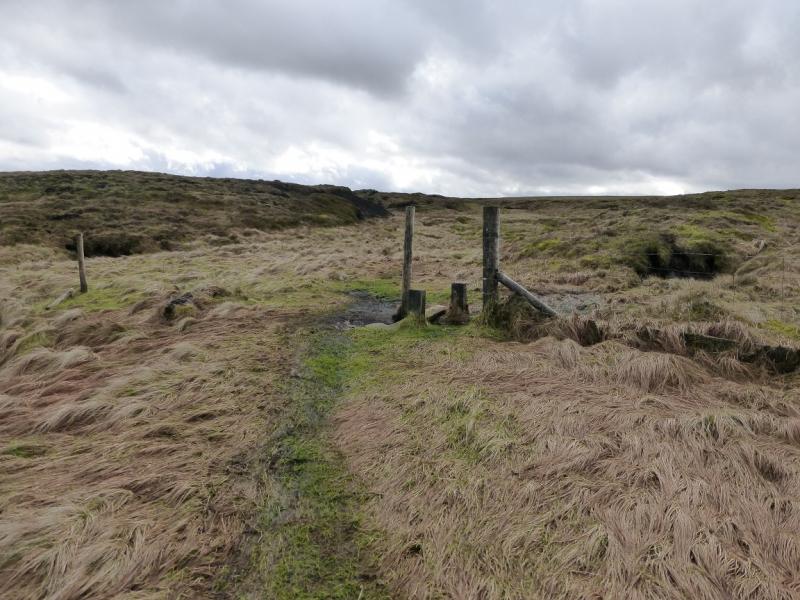
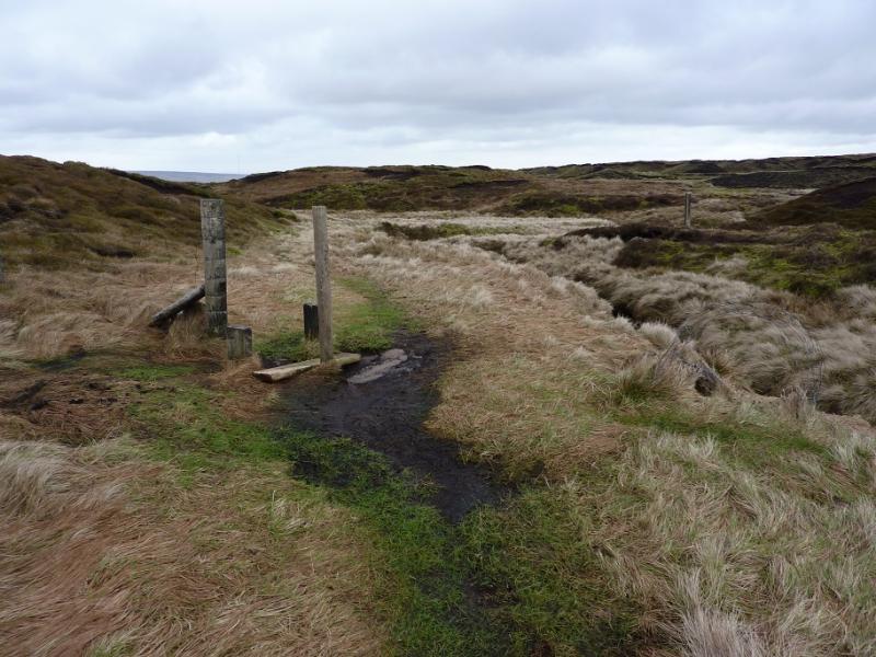
(2) Look for a stake just to the W of the stones which is close to the start of the obvious path to Bleaklow Head. Follow the path, which is quite boggy in places and follows the line of stakes until they run out. Even in clear weather, wandering off the path can lead to navigational problems so be careful as the route goes W then SW then W again. As Bleaklow Head is approached, look for a solitary stake which sits on a mound covered in stones. This is Bleaklow Head, 633 m. It can also be identified by the Pennine Way stone marker posts close by.
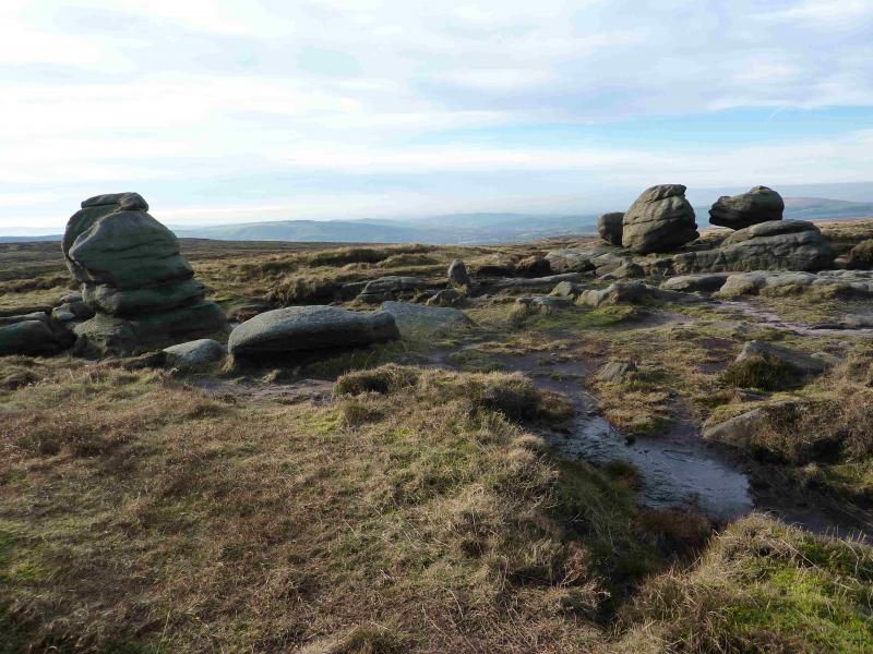
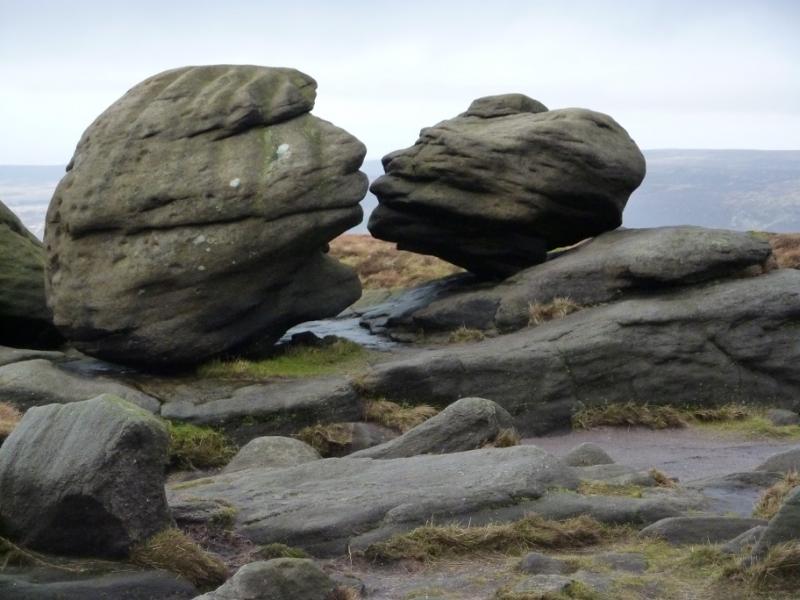
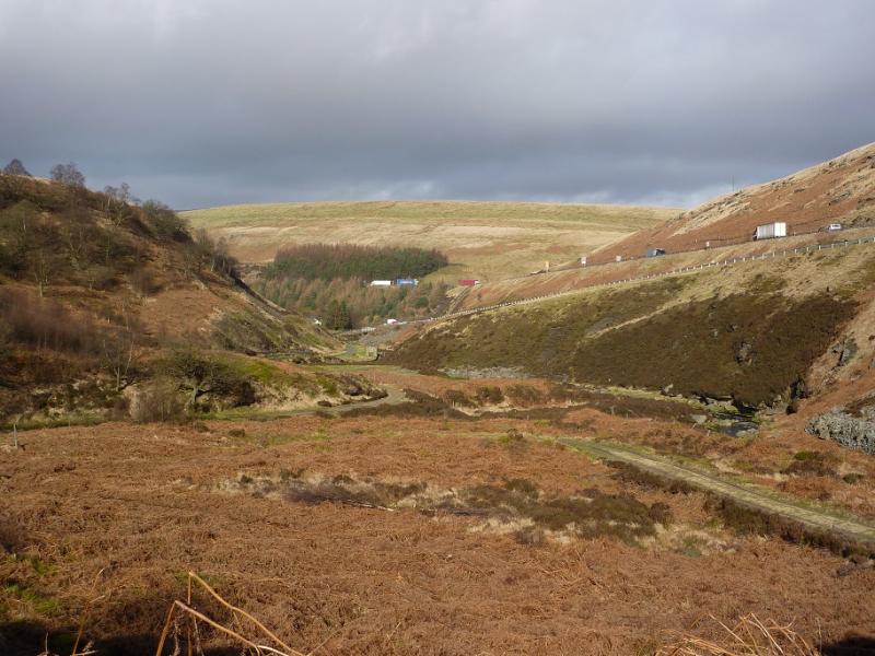
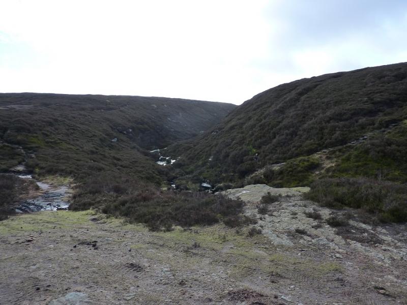
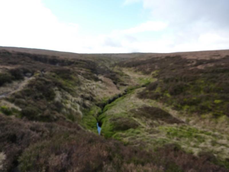
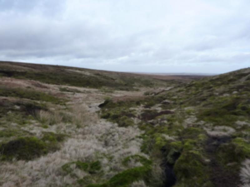
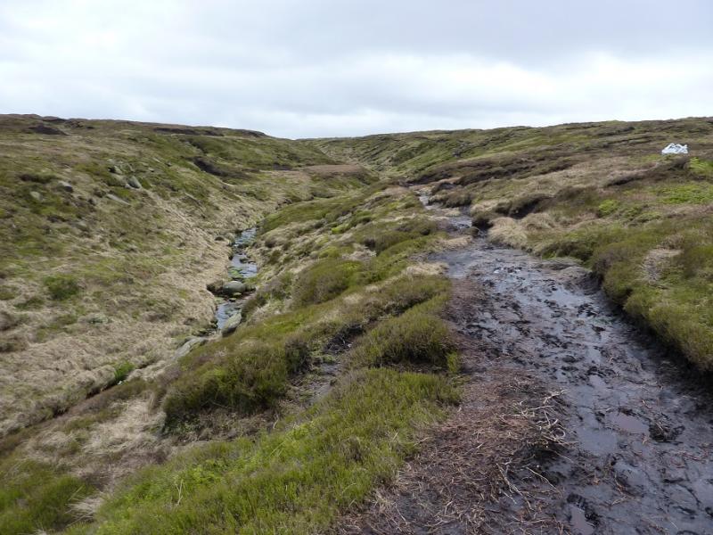
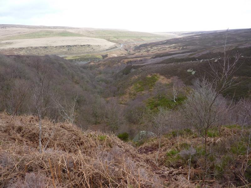
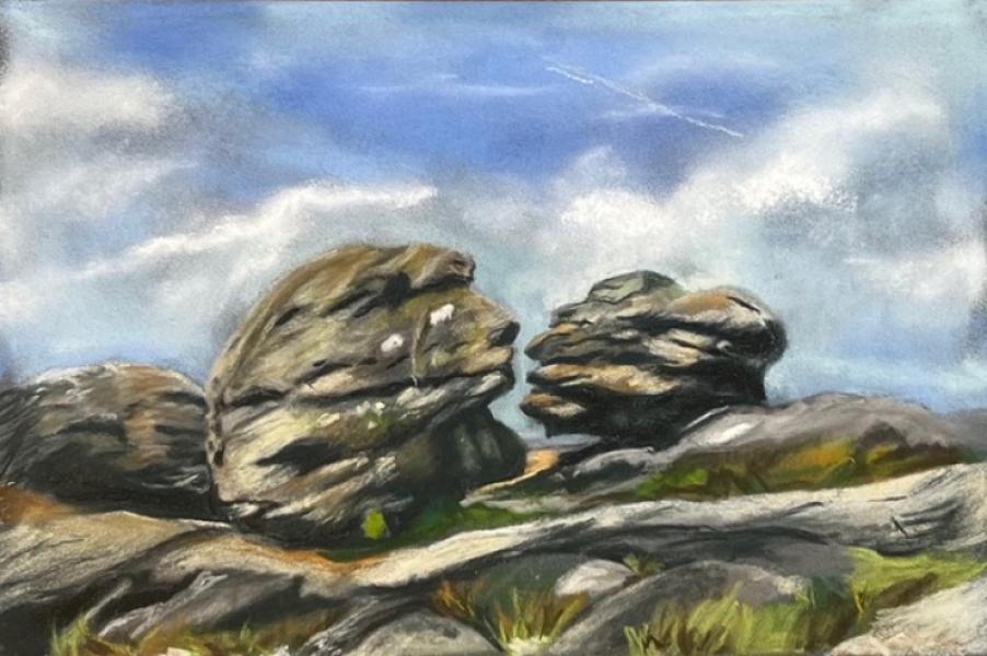
(3) It is worth making the short detour to the Wain Stones. Walk roughly W for about 200 m, to find another, slightly smaller cairn, near to some distinctive boulders known as the Wain Stones. The two closest ones are also known as The Kissing Stones and from the right viewpoint (and with a little imagination!) one can see why. Return to the large cairn. There is a very obvious path heading roughly E. Follow this. It soon swings N to enter the top of Near Black Clough. The path does get faint around here so be careful and make sure you are following a stream flowing N and soon the path will become much more obvious with the clough on your right. Follow the path, quite boggy in places, all the way down Near Black Clough, about 4 km, until it joins an ATV track just above the bottom of the clough. Follow the track down into the clough (lower down a footpath cuts a corner) then back past the ford and to the bridge over the River Etherow.
Notes
(a) This walk took place on 26th February, 2014.
(b) The painting at the end of the photos is of the Kissing (Wain) Stones, by Katina Johnson, a very talented artist from Lincolnshire. It is well worth looking at her website which is https://katinajohnsonart.com/
Photos - Hover over photo for caption. Click on to enlarge. Click on again to reduce.