Get Lost Mountaineering
You are here: England » Peak District » Bleaklow & Howden Edge from Torside, Woodhead & Langsett
Bleaklow Head via Longendale Edges & Wildboar Clough from Torside Car Park
Bleaklow Head via Longendale Edges & Wildboar Clough
from Torside Car Park
Start/Finish
Torside Pay and Display car park on B6105 on S side of Torside Reservoir at SK 068 983. This can be reached from Glossop by going N at the main traffic lights on the B6105. Alternatively, from the A628 Woodhead Pass road, take the B6105 between Woodhead and Torside Resrvoirs about 0.5 miles E of Crowden. The car park is obvious on the B6105 and has toilets.
Distance/Time
13 km About 4 - 5 hours
Peaks
Bleaklow Head, 633 m, SK 092 958. OS 1:50 000 Sheet 110
OS Outdoor Leisure 1: Dark Peak.
Introduction
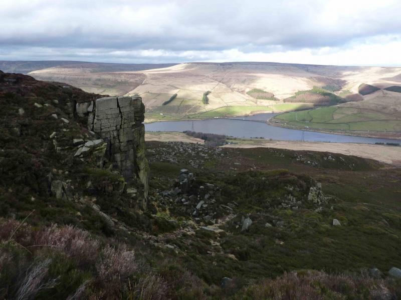
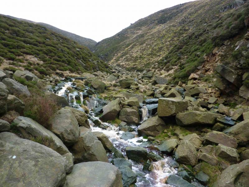
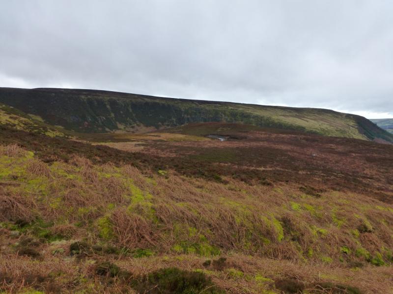
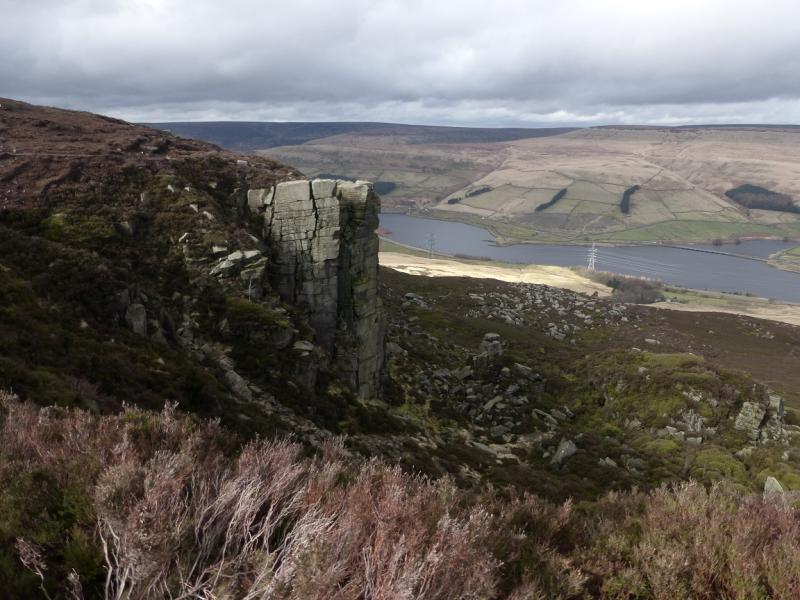
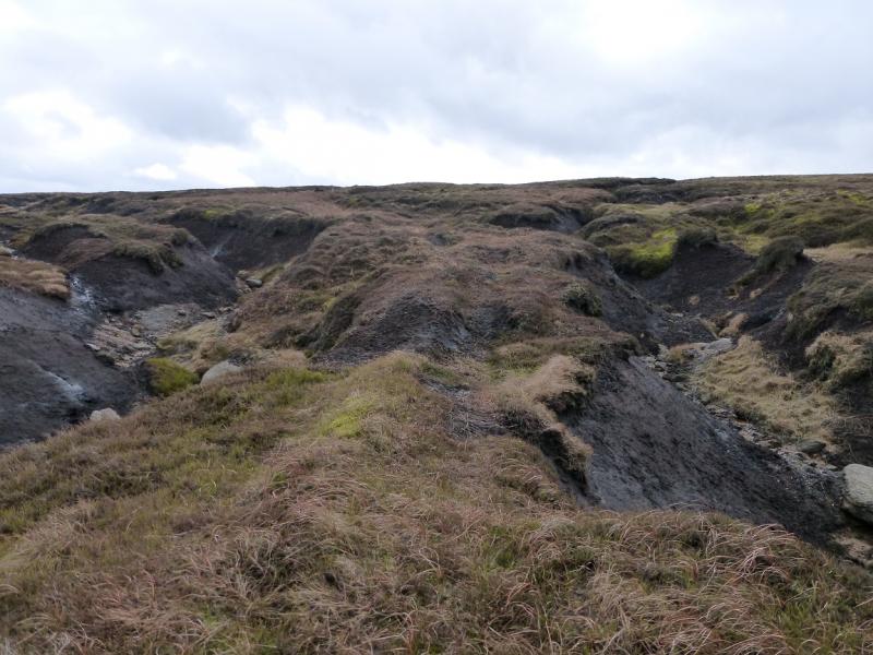
This is a pleasant but tough walk which walks along some of the Longdendale Edges before ascending gentle, but featureless, slopes to Bleaklow before returning across similar featureless ground then descending the rocky and attractive Wildboar Clough. In places, the going underfoot can be quite boggy. Even in clear weather, navigation across the featureless terrain will be challenging for some so even the experienced should save this walk for a clear day. There are good views across to Black Hill, Higher Shelf Stones and Kinder. The Wain Stones, close to Bleaklow Head are worth the slight detour.
Route
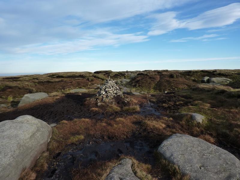
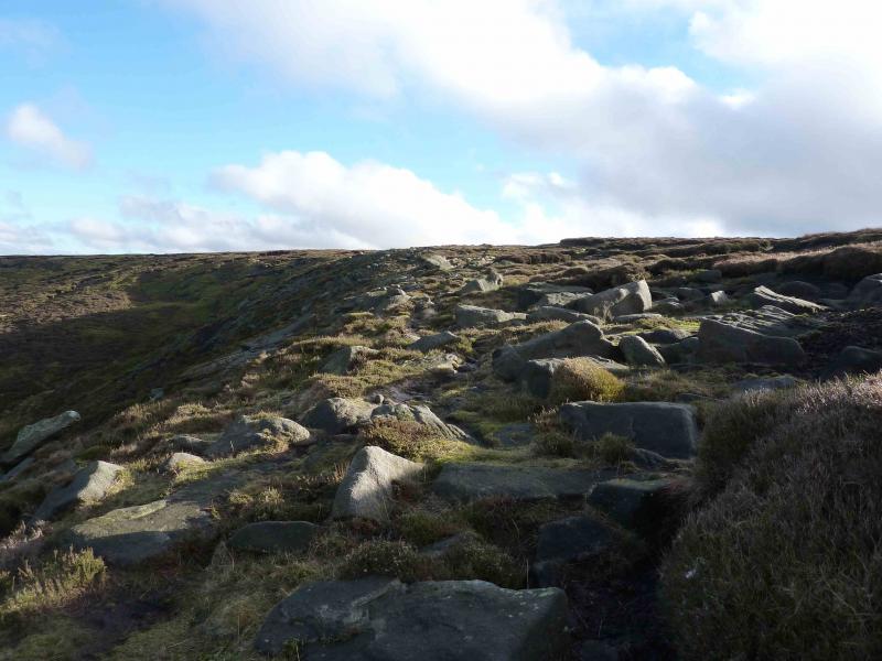
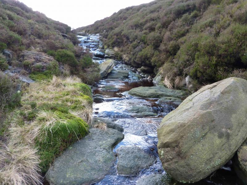
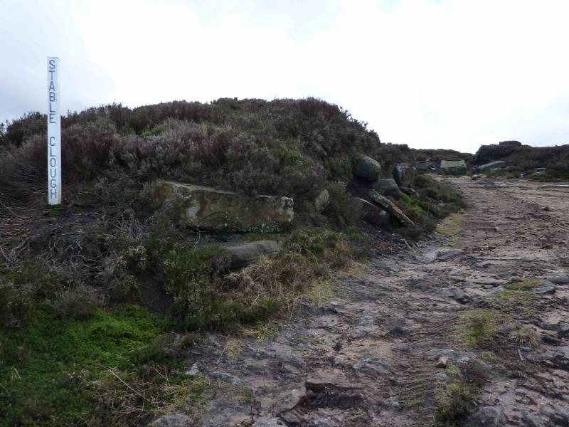
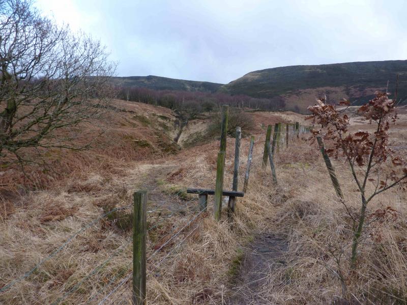
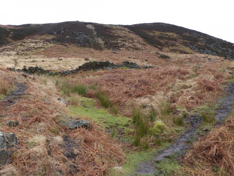
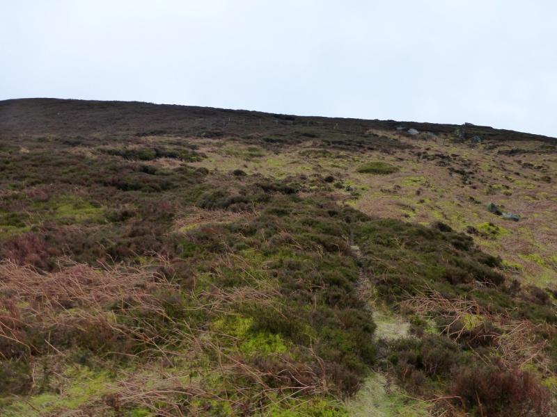
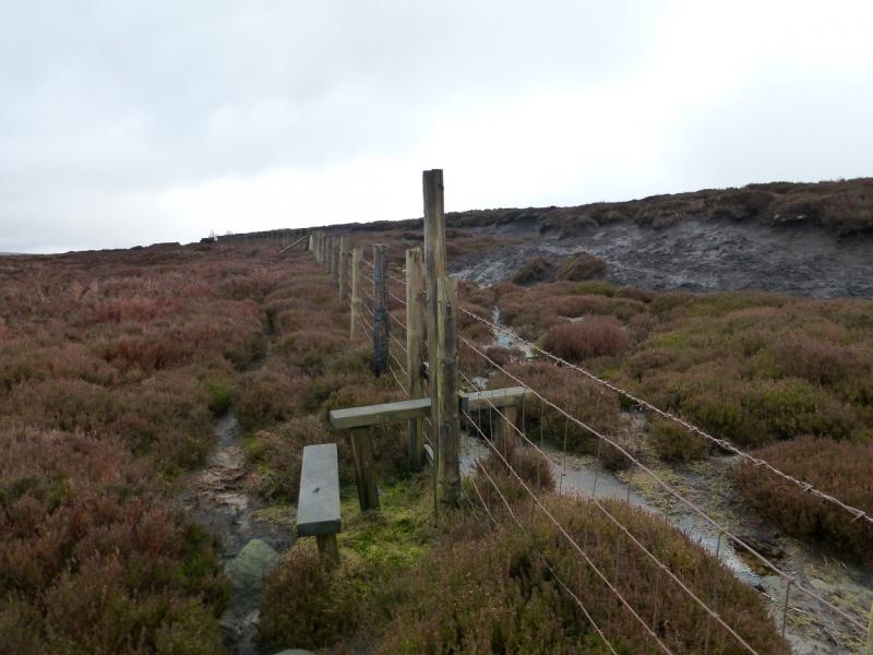
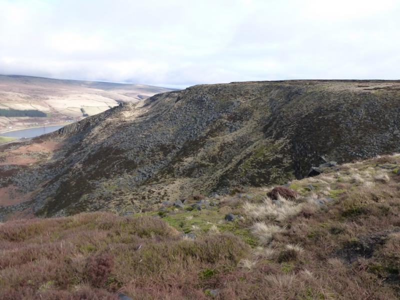
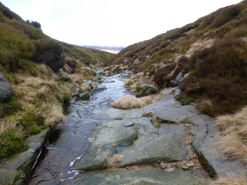
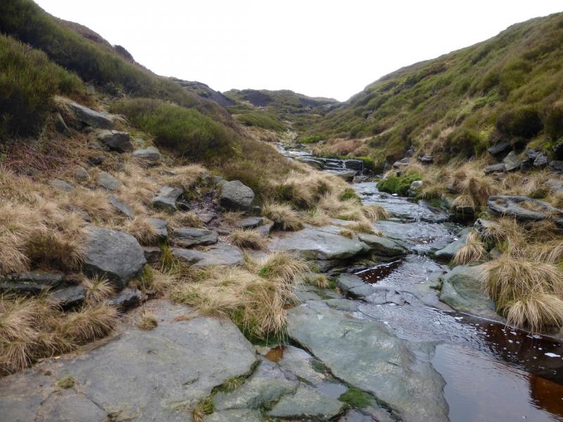
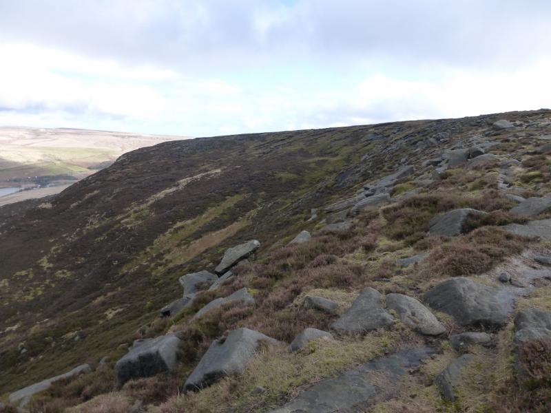
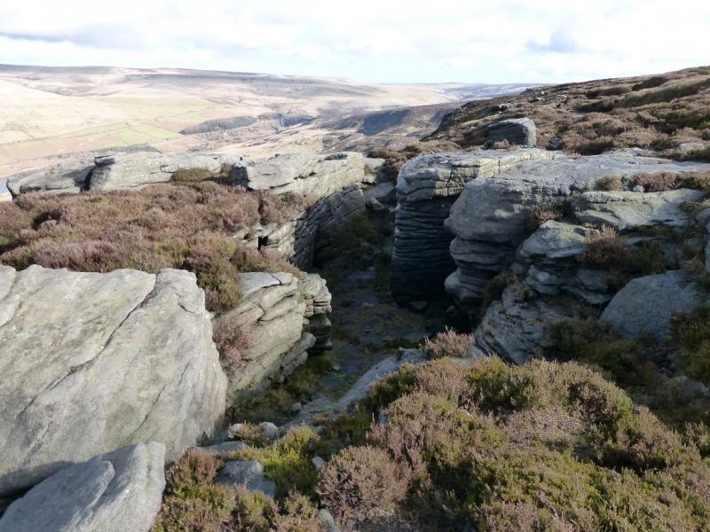
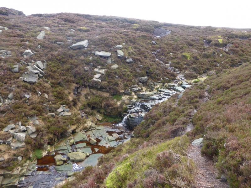
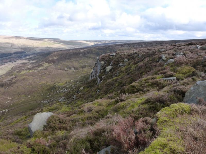
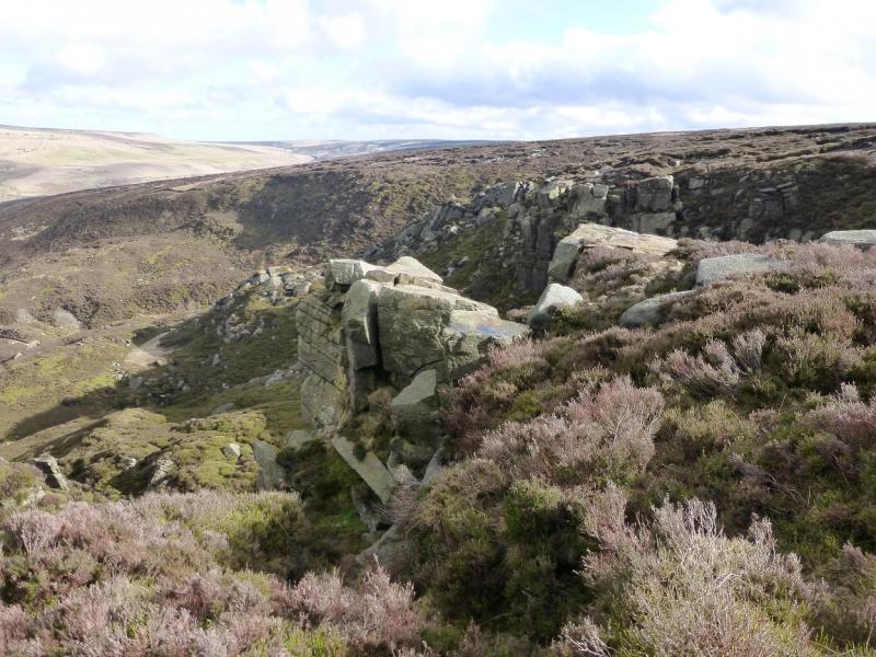
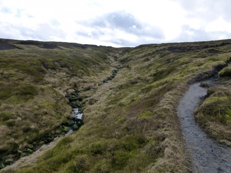
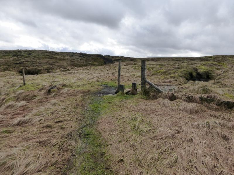
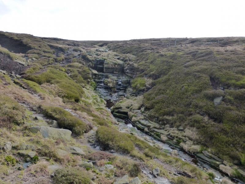
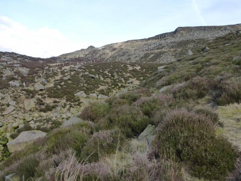
(1) From the car park, walk up the track (with benches) in the top left corner. Reach a “crossroads” with a sign post. Go straight ahead and follow the path directly up on towards the edge. Higher up, the path is more difficult to follow and one can easily stray into deep heather. When above the plateau of Long Gutter Edge, cross a fence. You may struggle to find a stile but the fence can be stepped over by most. Continue up to reach another fence which has a path either side. Follow this NE. If you are on the left of the fence, a stile will have to be crossed, slightly lower down, when the fence goes left. Soon reach the edge Wildboar Clough where the path goes in for some distance as the clough is deep. Continue along the edge, following a fence with many stiles along it, until a short boggy gully has to be crossed. Descend the short distance into the clough here and climb out the other side. Follow the path back along the edge of the clough to regain the Longdendale Edge and a good path. Continue and walk along Lawrence Edge then Deer Knowl. The one notable feature being a short, rocky, shallow and dry “canyon”. Continue to reach Shining Clough which is a stream flowing on rock in a narrow gap. Continue along the edge with more of the edge crags now visible. Keep going, still on the path, which soon reaches an old fence. Go to the end of the fence then walk a little further, still on the path and going slightly uphill, to reach an ATV track. Turn left to reach the turning place at the top of the, previously unseen, Stable Clough track. This is roughly opposite a grouse butt high on the opposite bank. Walk up a peaty path on the W side of Stable Clough to intersect with the ATV track again. Follow this left to a “bridge” then follow it up to the right. Aim for the white marker posts ahead, leaving the track if it veers off. When the white posts run out, gradually drift SE, over undulating peaty ground, to reach the obvious path coming up Near Black Clough. Follow this path up the W side of the clough. It is quite distinct until you reach a line of old fence posts. After here, it is easy to lose the path. If you do, keep heading S until you can see a solitary stake on the furthest crest. Aim for this. As you get closer, it is seen to be sticking out of a triangular shaped cairn. Walk to this. If it has a small stone direction marker by it then it marks the summit of Bleaklow Head, 633 m.
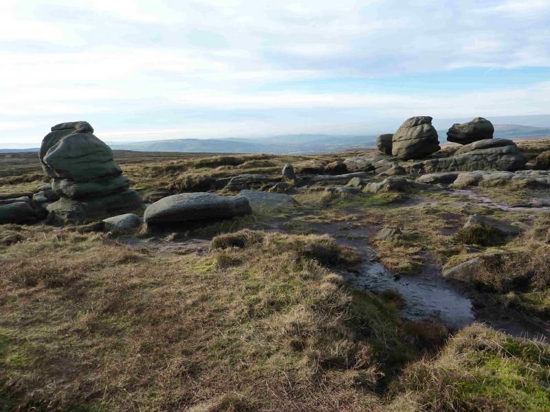
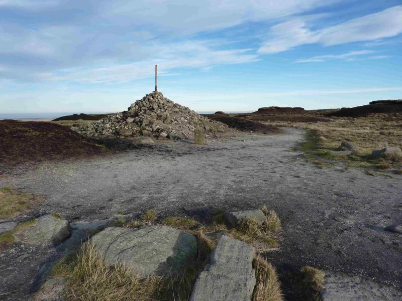
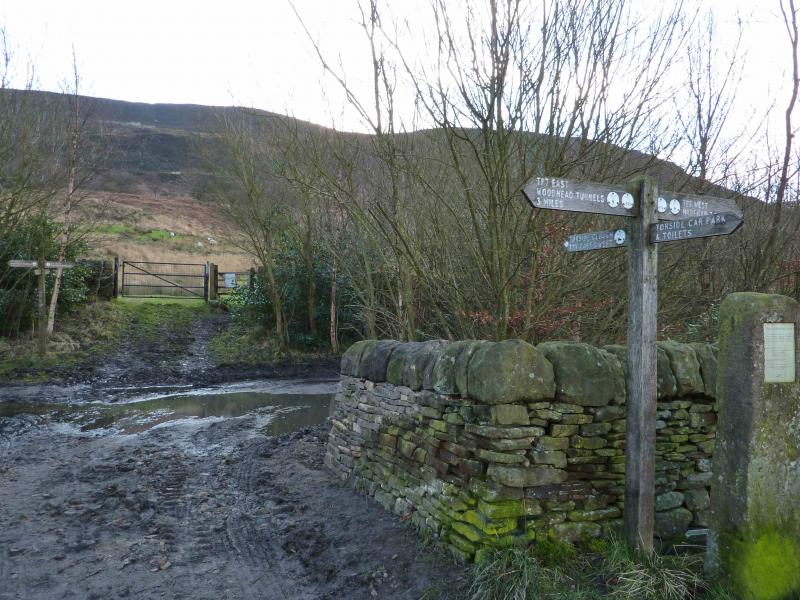
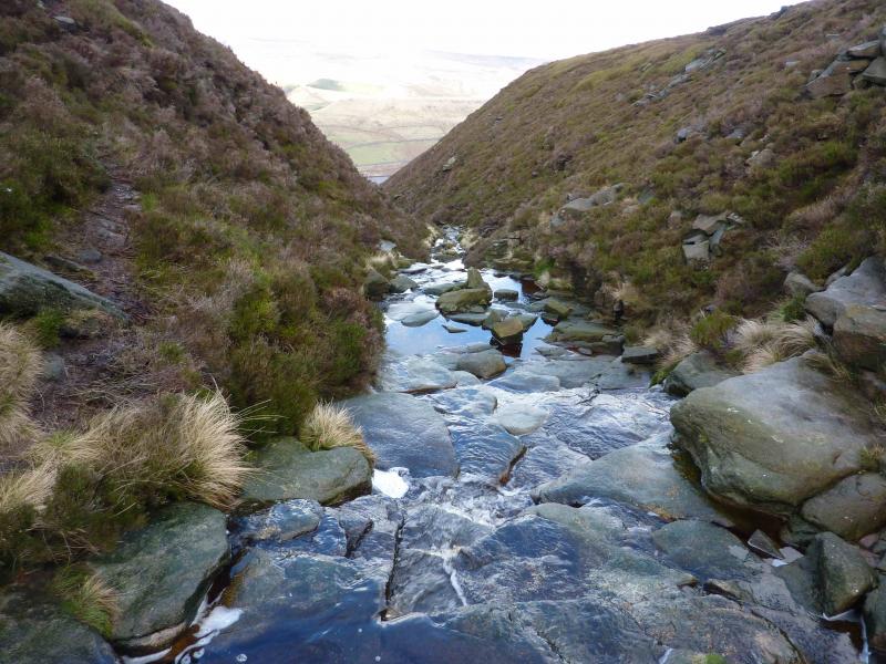
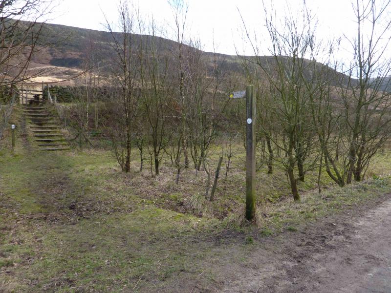
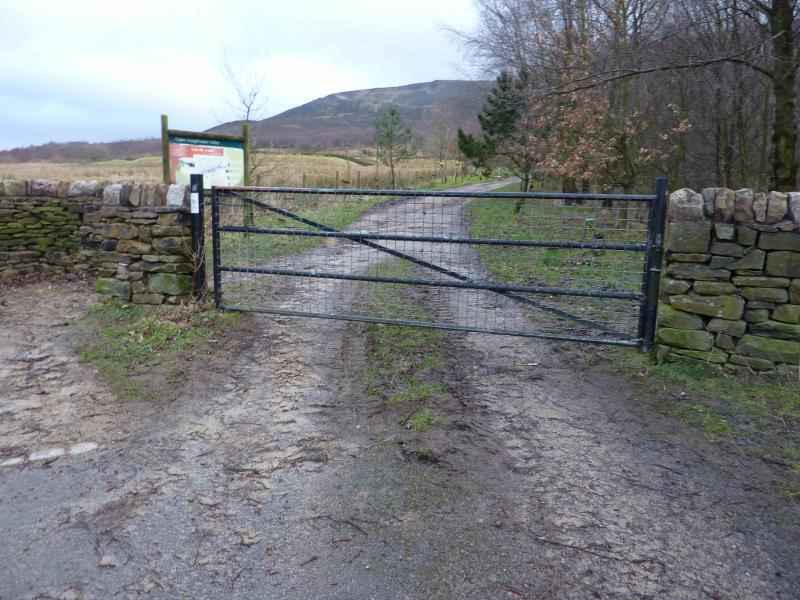
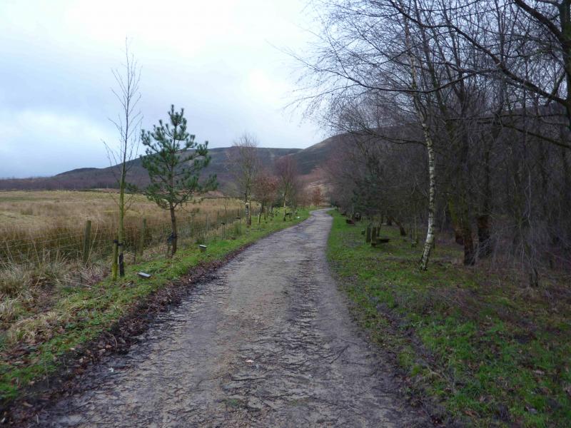
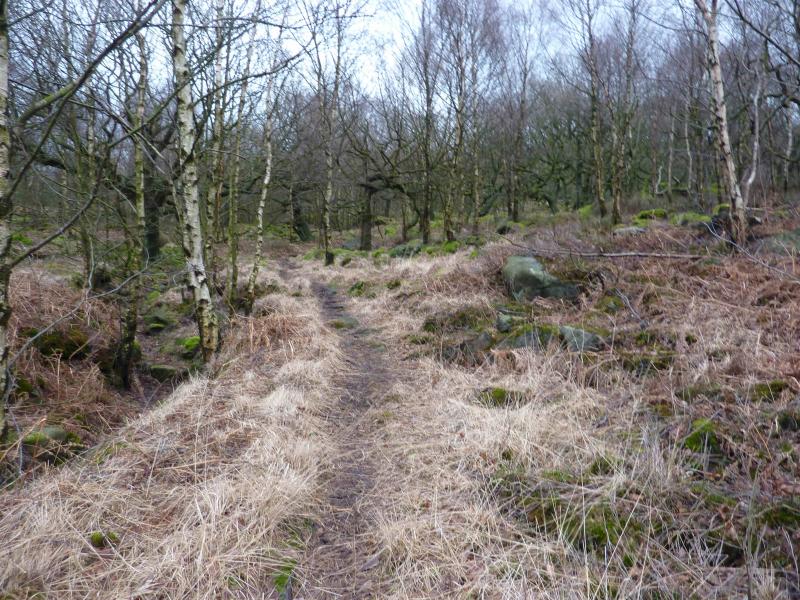
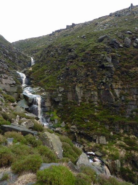
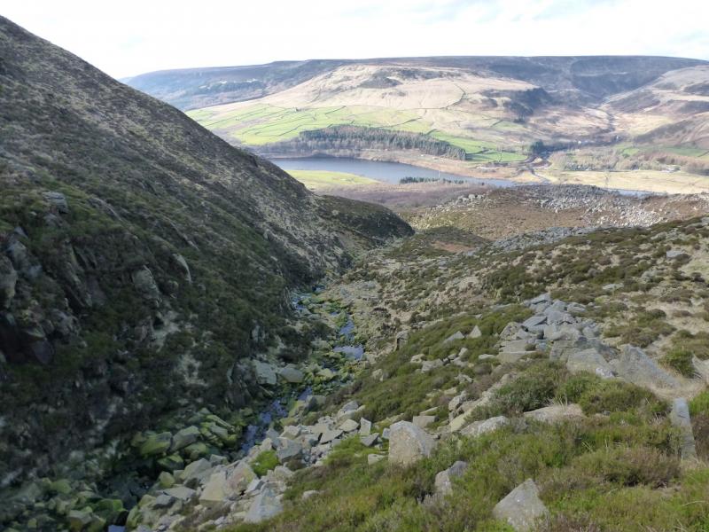
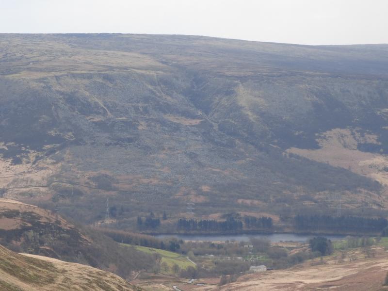
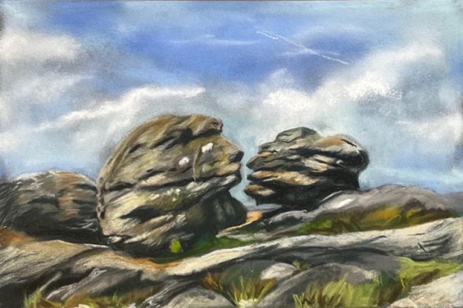
(2) Walk roughly W for about 200 m, to find another, slightly smaller cairn, near to some distinctive boulders known as the Wain Stones. The two closest ones are also known as The Kissing Stones and from the right viewpoint (and a little imagination!) one can see why. Retrace to the summit then follow the direction indicated by the marker which is the Pennine Way. Unless under deep snow, this is a very obvious path. It goes roughly N to meet a fence where the path goes left along the fence. Follow the path to the fence corner and then follow the fence, leaving the Pennine Way. There are stiles along the fence so you can change sides as you wish but, ultimately, you need to be on the right, E, of the fence as the fence eventually goes on the left side of Wildboar Clough. As the gentle descent progresses, a distinct stream forms and soon you are at the top of the distinctive Wildboar Clough. As the clough steepens, make sure you get on to the lower path nearer to the stream. Lower down the path crosses the stream; the crossing is usual.y easy. It then goes over a stile before leaving the clough and going through an attractive wood to emerge on the dismantled railway track at the bottom. Turn left and soon reach the gate and track, by the sign post, back to the car park.
Notes
(a) This walk took place on 24th February, 2014.
(b) The painting at the end of the photos is of the Kissing (Wain) Stones, by Katina Johnson, a very talented artist from Lincolnshire. It is well worth looking at her website which is https://katinajohnsonart.com/
Photos - Hover over photo for caption. Click on to enlarge. Click on again to reduce.