Get Lost Mountaineering
You are here: Scotland » 01 South of Oban to Stirling and Fife » Loch Earn to Loch Tay
Meall nan Caorach & Meall Reamhar
Meall nan Caorach & Meall Reamhar from Amulree
Start/Finish
The best place to park is outside Amulree Village Hall (has a phone box outside) which is about 50 m up the Glen Quaich road from Amulree. Amulree, itself is about halfway on the A822/A826 Crieff to Aberfeldy road. It is also possible to reach Amulree via the A822 from Dunkeld on the A 9. The most scenic approach is via the Quaich road, from Kenmore at the NE end of Loch Tay, but this is only realistic for those staying between Kenmore and Killin at the other end of Loch Tay. However, the Quaich road goes quite high with some steep sections and is not gritted, making it impassable in winter conditions. Parking in Amulree adds about 1 km of road walking each way but there are no sensible places on the A822. Large rocks and fences prevent parking in otherwise possible places.
Distance/Time
12 km Approx 4 hours
Peaks
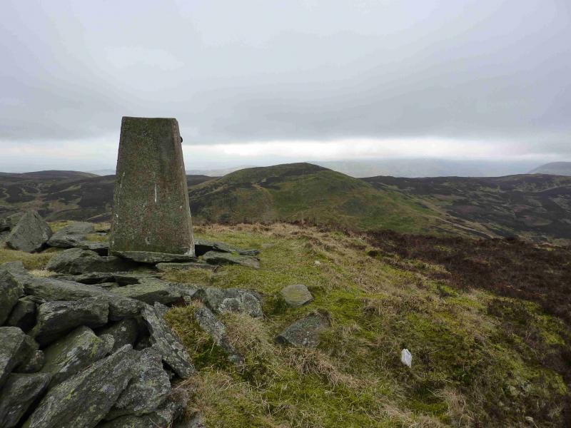
Meall nan Caorach, 623 m, NN 928 338.
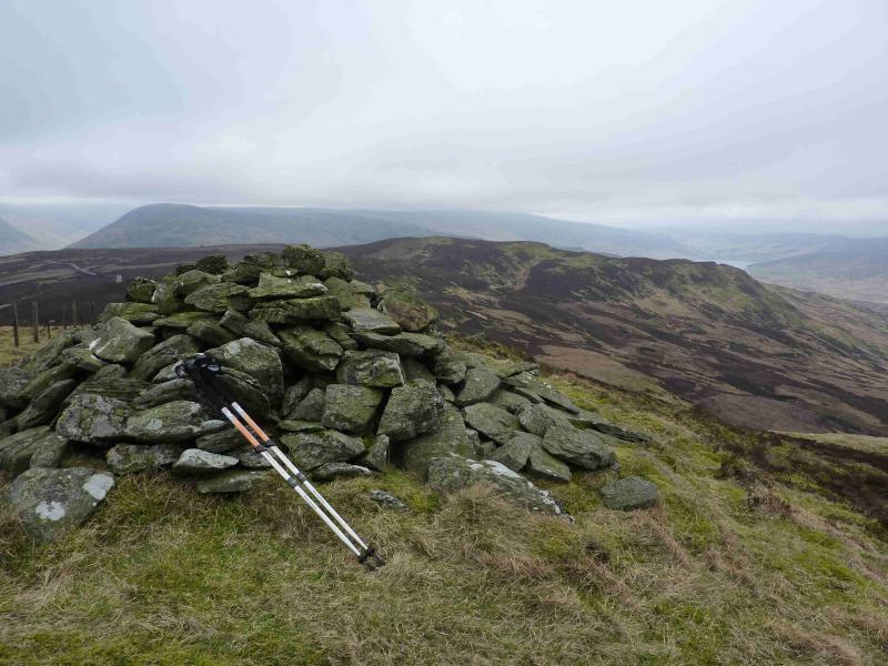
Meall Reamhar, 620 m, NN 922 332. OS sheet 52.
Introduction
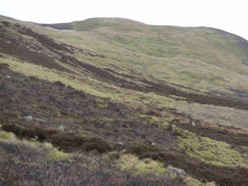
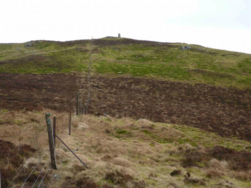
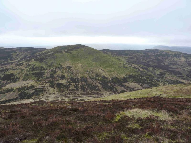
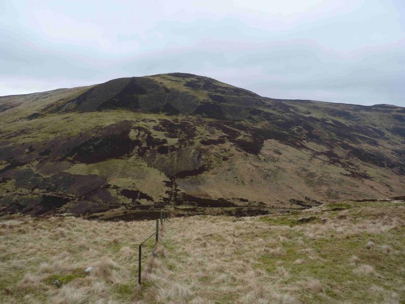
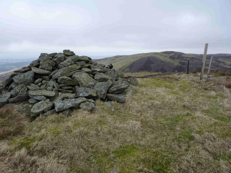
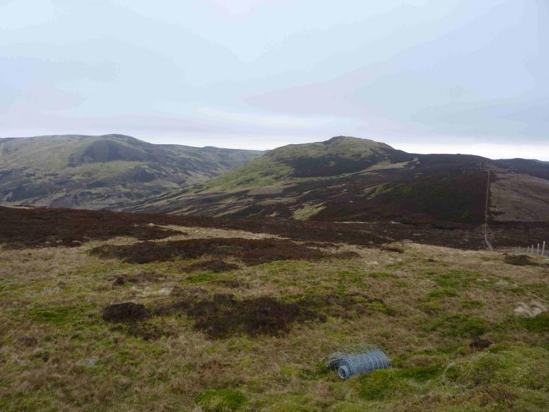
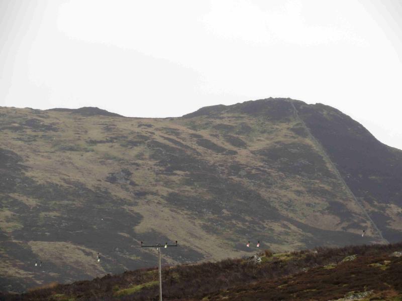
This is a pleasant short walk over two Grahams. The area around Amulree is probably best described as wild moorland although the going is relatively easy on quite pleasant grass. On a clear day, there are good views from the SW to the N with Farragon Hill and Schiehallion prominent to the N and NW. Heather burning takes place in this area so be prepared to go somewhere else if this is happening. The ascent of Meall Reamhar is on steep grass and would need ice axe and crampons in winter conditions. If the track is followed all the way to the bealach between the two Grahams then fences lead to both summits, one of which has a trig point and the other has a good sized cairn thus making navigation easy in even the thickest of weather.
Route
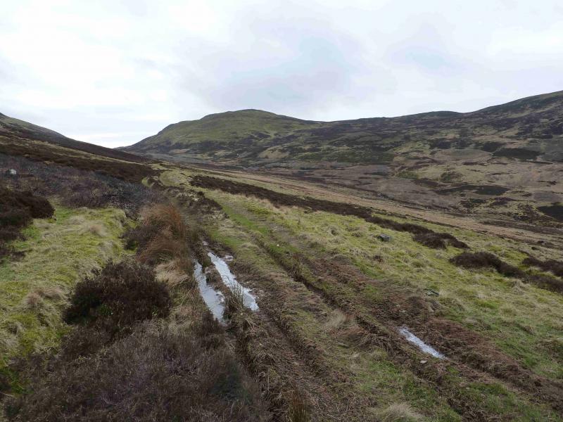
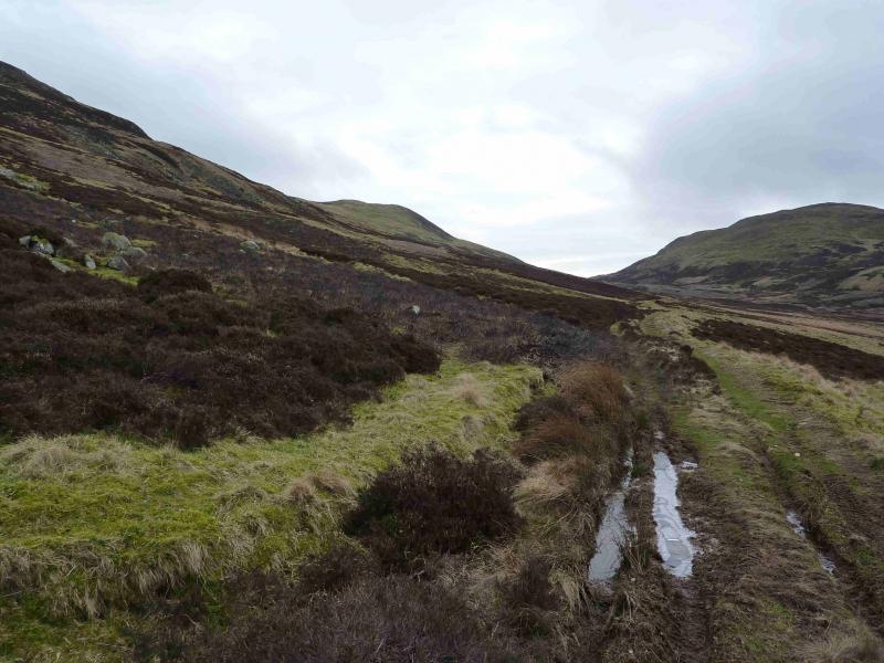
(1) From the village hall, walk to the main road and turn right, S. Walk for about 1 km to reach a track, on the left, going E to a bridge which should be visible. Follow this track (shown on the map) for about 1 km to the cottages at Girron where the track turns SE heading for the bealach between Meall nan Caorach and Meall Reamhar. After a short steep section, the gradient eases and one has several choices. The simplest is to continue to the gate in the bealach between the two hills (this is not a bealach for the track as it continues to climb as it continues SE) then follow the fence uphill on the left, NE, to the summit trig point of Meall nan Caorach, 623 m. One alternative is to continue past Creag Ghorm then make a rising traverse to the ridge between Creag Ghorm and Meall nan Caorach. There is a fence on this ridge which leads to Meall nan Caorach. Perhaps, the best alternative is to ascend the easy grassy slopes to Creag Ghorm then follow the ridge (slight descent with some small crags to avoid) to Meall Nan Caorach.
(2) Descend roughly SW following the fence. Initially the best going is on the right then about a third of the way down, it is better on the left where there is a distinct path for some distance. Reach the track in the bealach between the two Grahams where there should be a gate on the right and what seems to be a wooden grouse butt about 10 m to the left. The fence continues up the NE flank of Meall Reamhar with a few steep sections but the going is not too bad and there is more than a hint of a path. The fence le `ads directly to a medium cairn which is the summit of Meall Reamhar, 620 m.
(3) The simplest descent is to descend, following the fence, back to the bealach then turn left, NW, and follow the track back through Girron to the road and Amulree. A more interesting descent is to continue along the fence which heads W then NW. Further W, some new hill roads are being created which might suggest that a major wind farm is going to be built. The fence crosses a peaty hollow but any small bogs are easily outflanked. A top is reached which has a small, but striking, outcrop on its summit. Continue along the fence. When the fence becomes a stone wall, one can easily drift NE and descend into the glen and join the track. Alternatively, follow the wall to its last top where it starts to descend quite steeply NW. The easiest route from here is to follow less steep ground N to reach the track between Girron and the road. Crossing the small burn before the track should only be a problem in spate conditions. It is also possible to follow the stone wall down to the road about 500 m S of the Girron track but the main burn is not easy to cross and there is a high deer fence with no stile. The ground immediately before the road is also quite boggy.
Notes
(a) This walk took place on 22nd December, 2008 and 6th March, 2012.
(b) If using the track all the way to the bealach and back, it would be possible to cycle in but some of the track is grassy and is best cycled over when dry.
Photos - Hover over photo for caption. Click on to enlarge. Click on again to reduce.