Get Lost Mountaineering
You are here: England » Lake District » 2 Far Eastern Fells
Branstree, Selside Pike & Hare Shaw from the head of Haweswater
Branstree, Selside Pike & Hare Shaw from the head of Haweswater
Start/Finish
Small public car park at the head of Haweswater. On busy days, this car park will fill up early. It is quietest mid-week out of season. The road is narrow and twisting and progress will be slow. From Penrith, take the A6 south to Eamont Bridge then turn off for Yanwath (Pooley Bridge road) then turn off south for Askham and follow signs for Haweswater through Butterwick.
Distance/Time
12 km About 5 hours
Peaks
Branstree, 713 m, NY 478 100.
Selside Pike, 655 m, NY 490 112.
Hare Shaw, 503 m, NY 497 132. OS 1: 50 000, sheet 90.
OS 1: 25 000 Outdoor Leisure 5, English Lake District NE Area.
Introduction
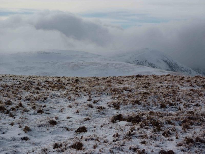
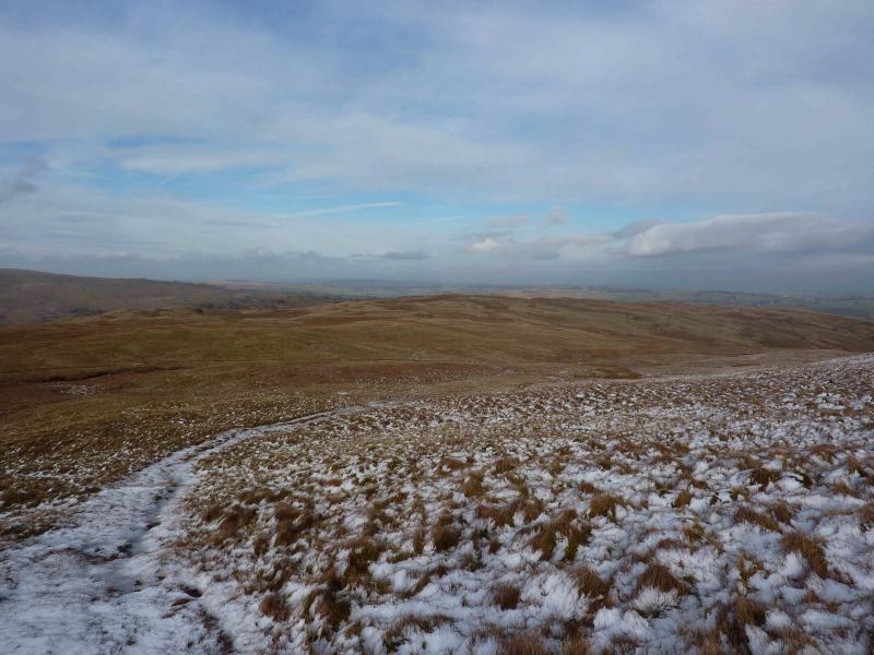
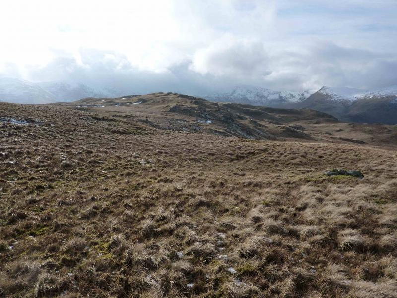
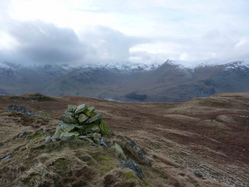
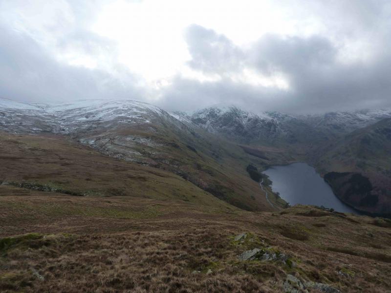
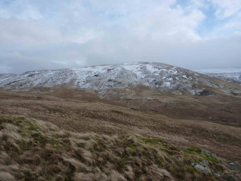
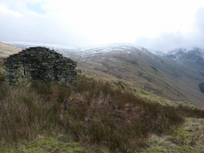
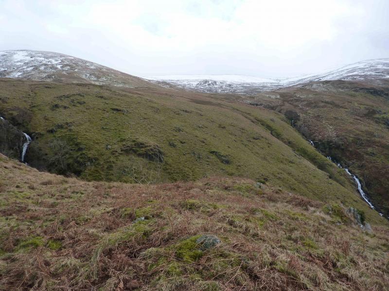
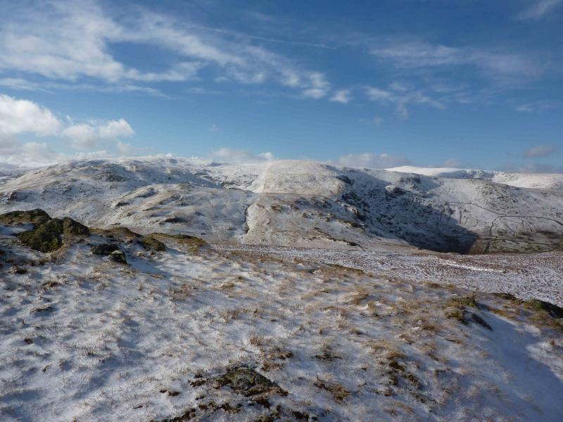
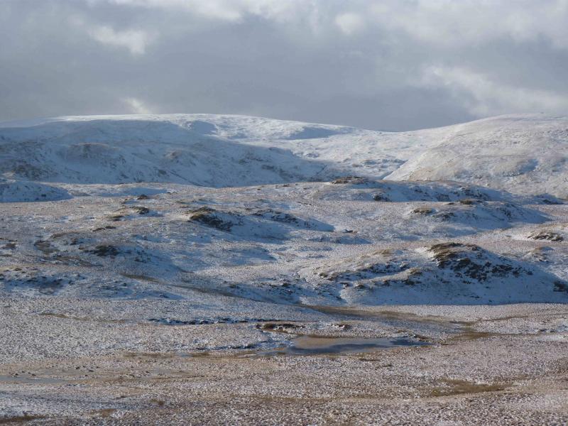
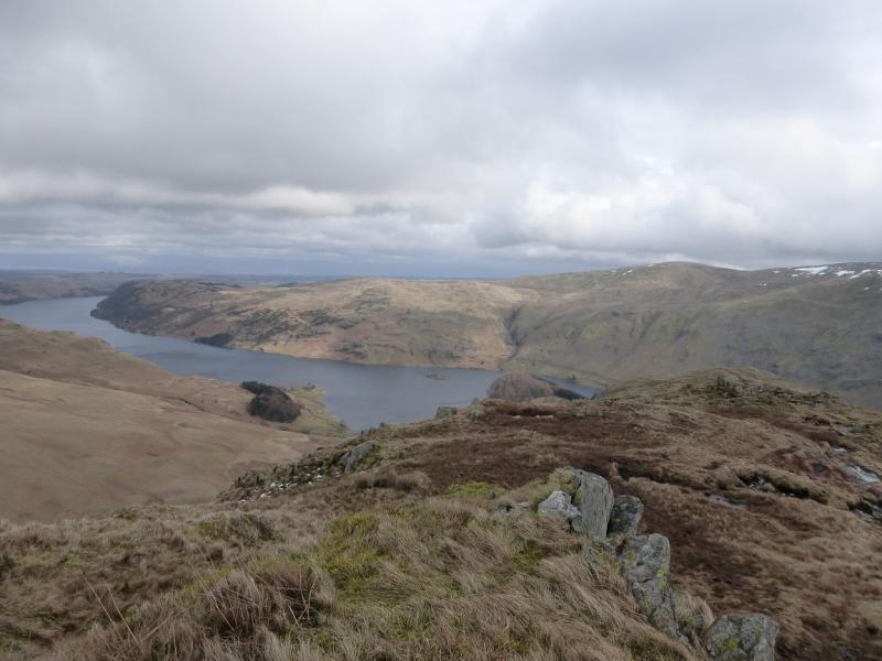
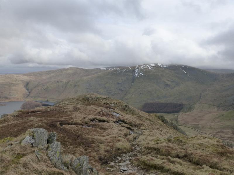
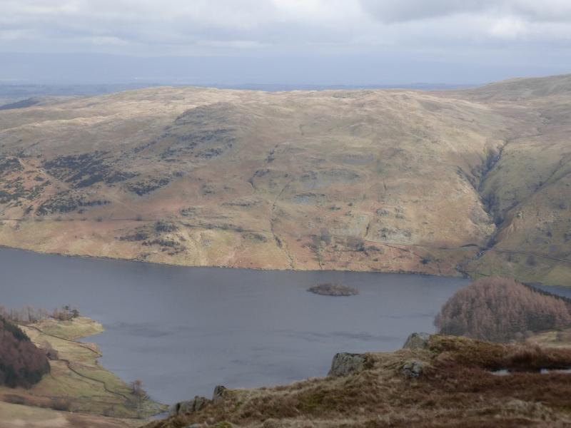
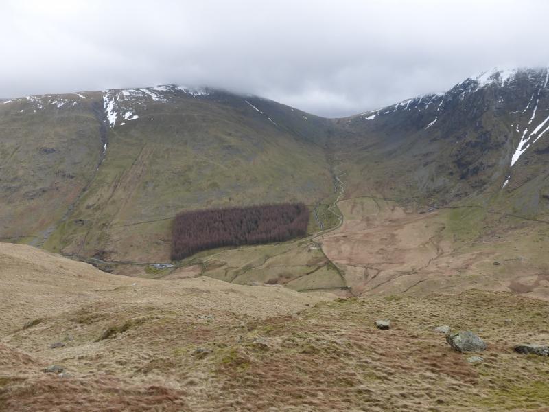
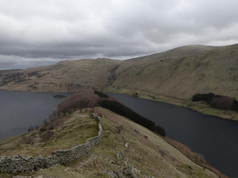
This is a lovely walk which is essentially a high level circuit on the east side of Haweswater. There are good and very distinctive paths most of the way although it does not take much snow to hide them. On a clear day, the views are excellent especially to nearby fells such as Harter Fell, Tarn Crag and Wether Howe but the finest views are towards High Street and especially the rough Crag and Long Stile ridge, Kidsty Pike and High Raise. The length of this walk is ideal for a short winter's day and it is not as serious an undertaking, in winter conditions, as the other hills around Haweswater would be and could be a good route to practice your emerging winter skills on. It is a very pleasant descent from the end of the Hare Shaw ridge down to the road.
Route
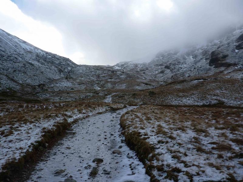
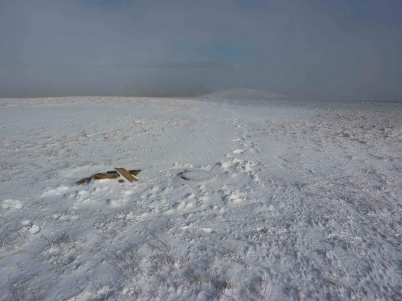
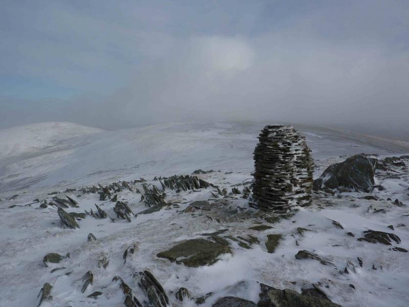
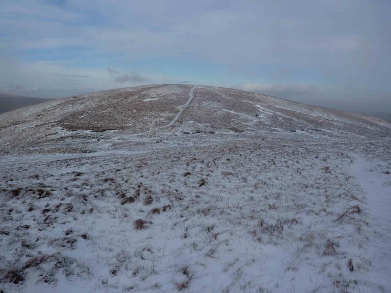
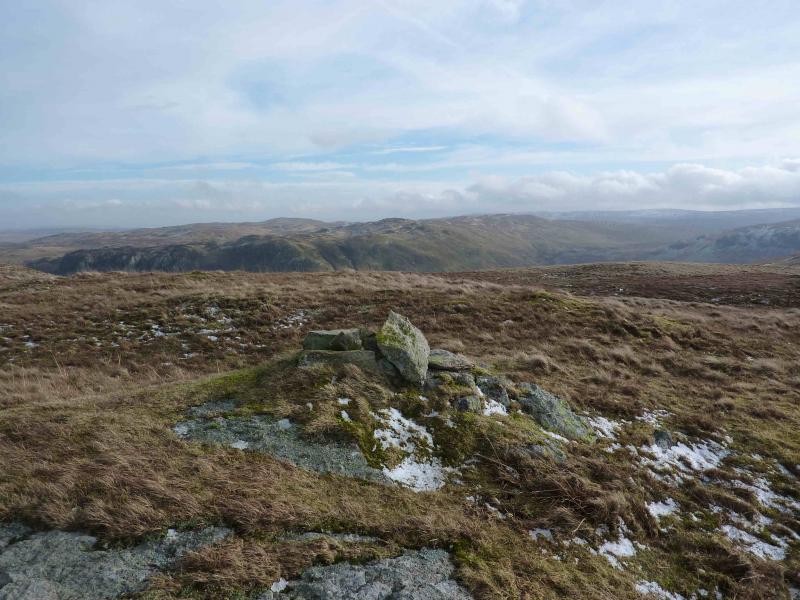
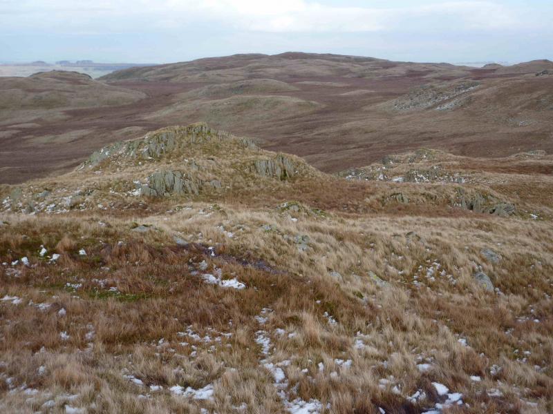
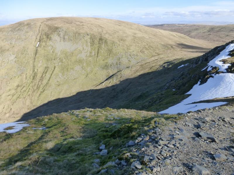
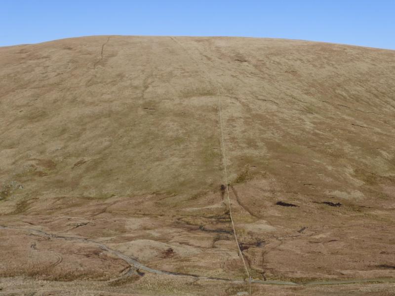
(1) From the car park, walk through the gate and up the obvious stony track heading SW then SE up towards Gatesgarth Pass which is the pass between Haweswater and Long Sleddale. Just before the cross fence is reached, near the top of the pass, take a rough track going off left which avoids boggy ground and soon joins the fence. Follow the fence up to a T junction where a wall comes in from the right. About 30 m left is a tiny cairn which marks the summit of Branstree, 713 m. There is also a circular base stone nearby. Note that a heavy snow fall may hide the cairn!
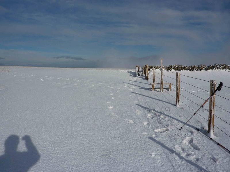
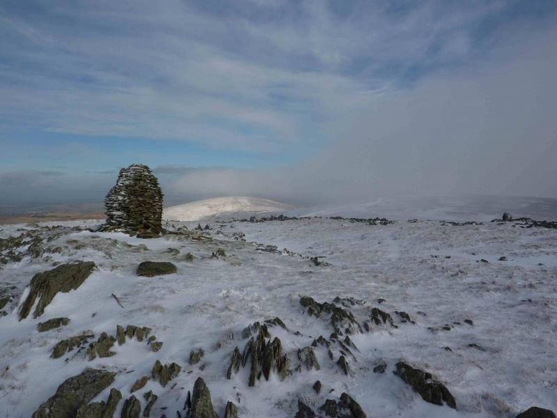
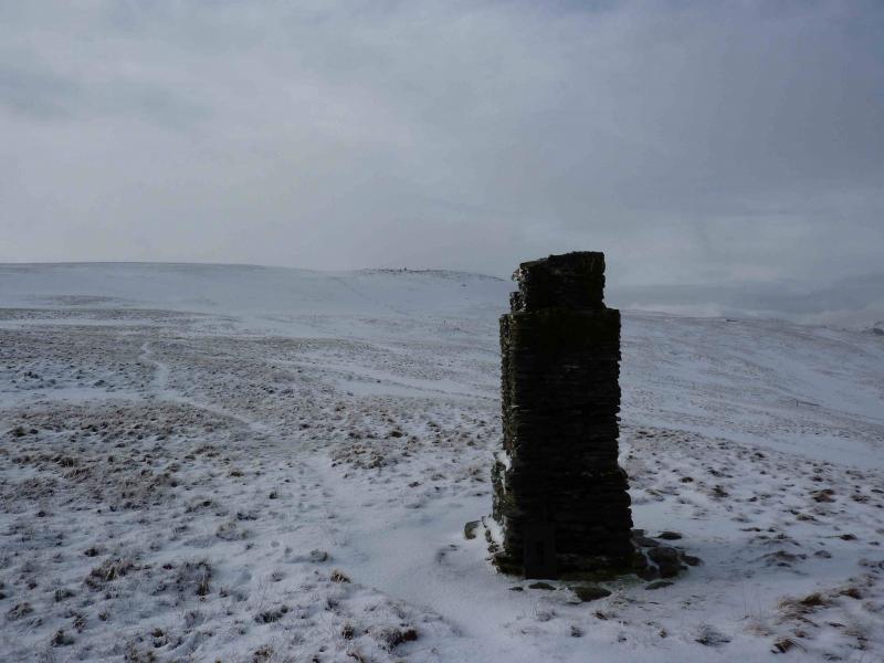
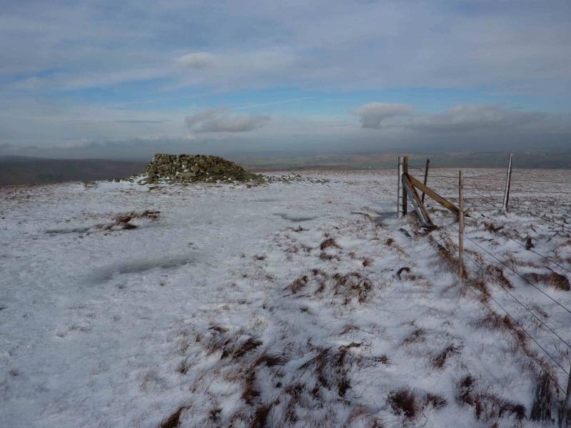
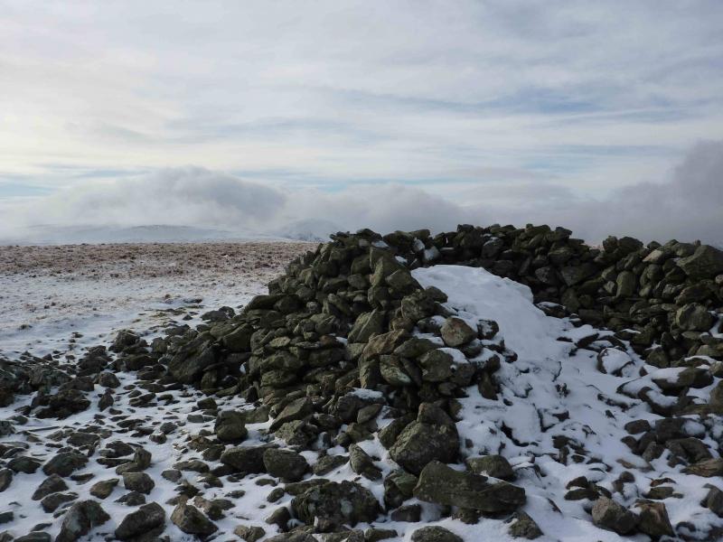
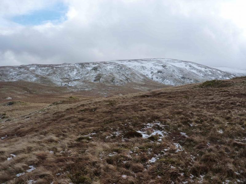
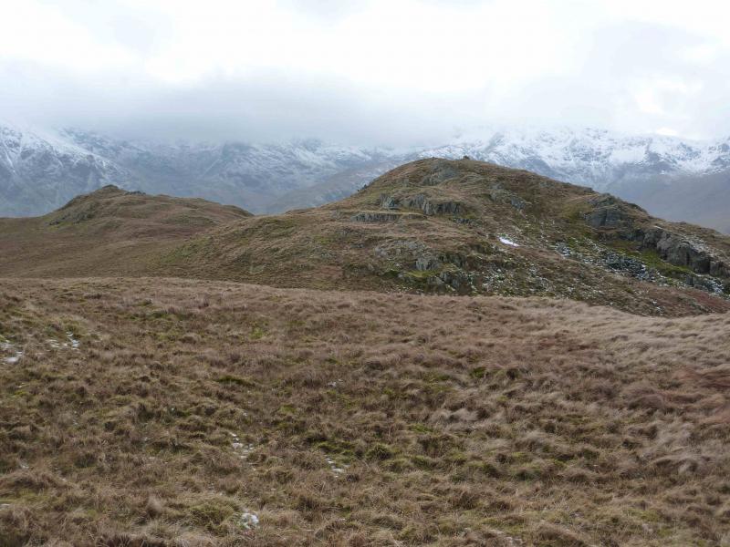
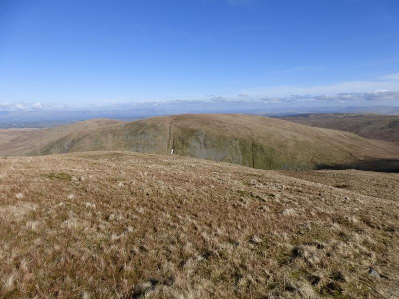
(2) The same fence can be followed to the summit of Selside Pike but this is not the best route. From the summit, descend roughly NE to a large stone pillar cairn then continue, more easterly to a second cairn then cross the fence (on your right) to reach a tall pillar cairn. From here a path leads up on to the unnamed top where there is a tiny cairn. Descend NNE to a broad, but boggy col, driest to the right, then follow the path and the fence again up to the fence corner just short of a large shelter cairn which marks the summit of Selside Pike, 655 m.
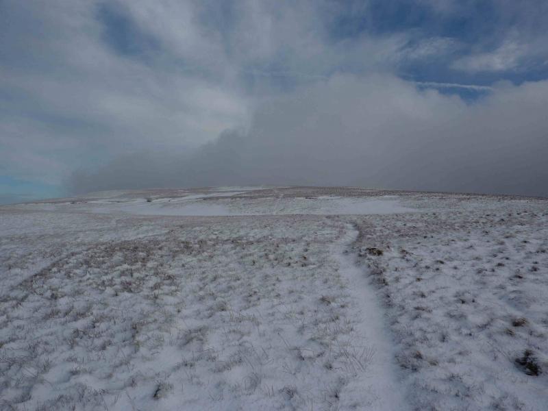
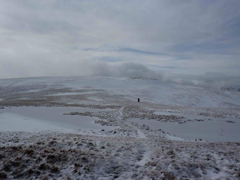
(3) There are various paths and tracks off Selside Pike so choose the one nearest to NNE and follow it down Selside End to cross the Old Corpse Road by a wooden post. The summit of Hare Shaw sits on a long ridge and is not distinctive from the summit of Selside Pike but becomes more obvious as one descends Selside End. From the wooden pole, continue roughly NNE again with a choice of paths. The terrain undulates slightly but there is no steepness and Hare Shaw becomes more obvious the closer one gets. A final gentle ascent leads to a small cairn which marks the summit of Hare Shaw, 503 m.
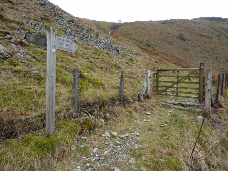
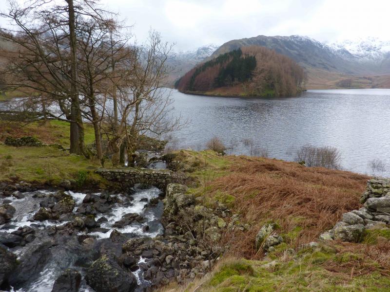
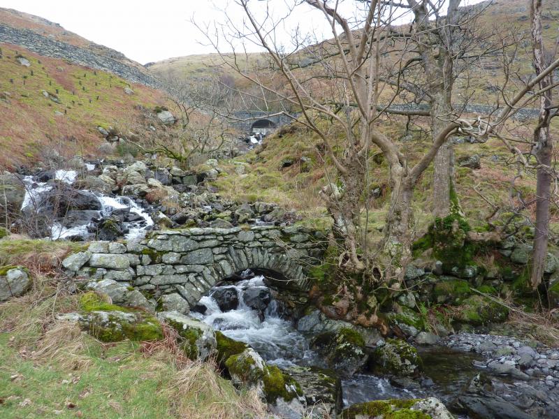
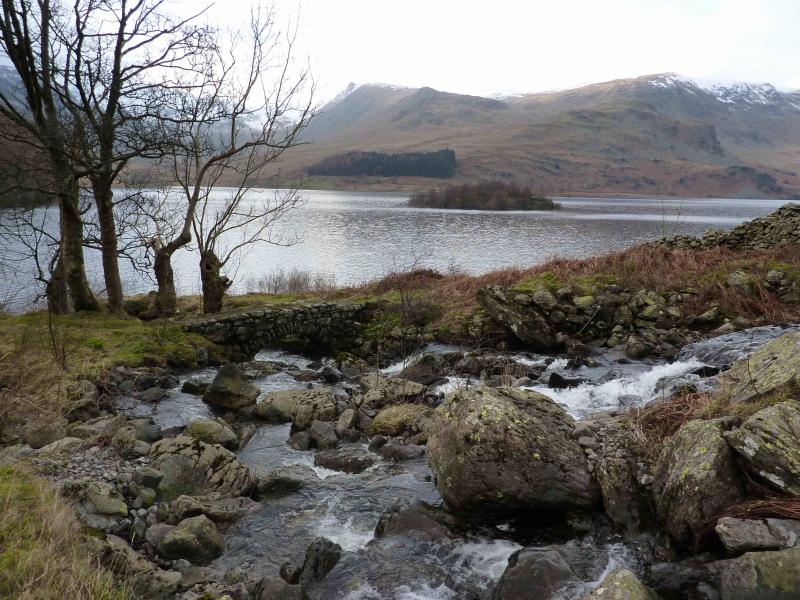
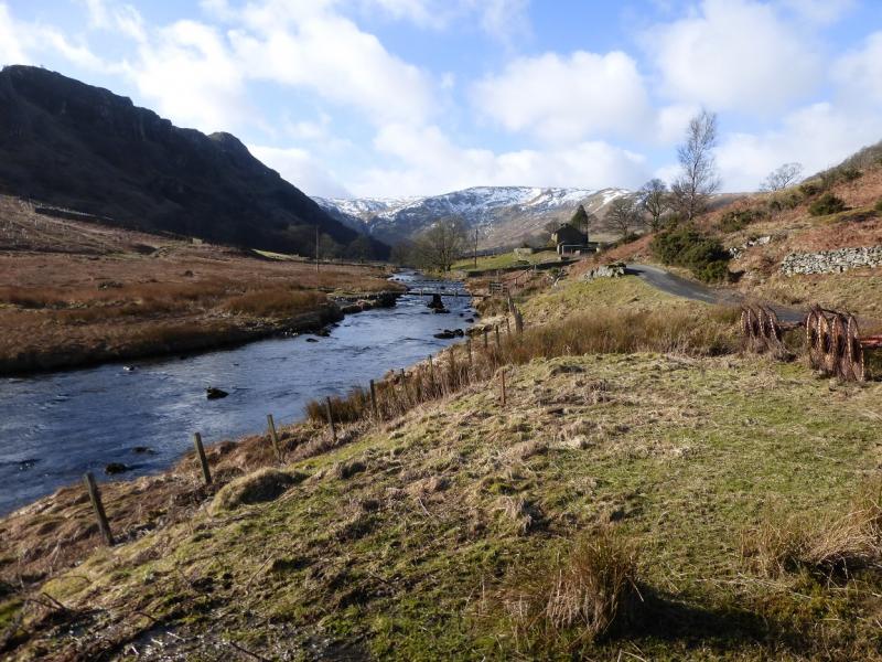
(4) The easiest option is to retrace to the Old Corpse Road and follow it down to Haweswater but it is much more pleasant to follow the ill-defined SW ridge of Hare Shaw to reach Rowantreethwaite cairn. Continue SW and join the Old Corpse Road near to some old ruins. Follow the “road” down with good views of waterfalls in the nearby becks to reach the Haweswater road. Cross over (sign post) and follow the path down to a lovely narrow old stone bridge then follow the path back to the car park.
Notes
(a) This walk took place on 10th February, 2014.
Photos - Hover over photo for caption. Click on to enlarge. Click on again to reduce.