Get Lost Mountaineering
You are here: England » Peak District » Bleaklow & Howden Edge from Torside, Woodhead & Langsett
Longdendale Edges from Torside Car Park
Longdendale Edges from Torside Car Park
Start/Finish
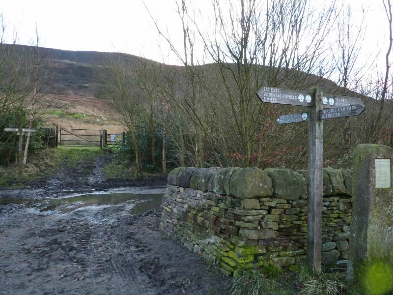
Torside Pay and Display car park on B6105 on S side of Torside Reservoir at SK 068 983. This can be reached from Glossop by going N at the main traffic lights on the B6105. Alternatively, from the A628 Woodhead Pass road, take the B6105 between Woodhead and Torside Resrvoirs about 0.5 miles E of Crowden. The car park is obvious on the B6105 and has toilets.
Distance/Time
10 km About 4 - 5 hours
Peaks
No peaks as an edge walk.
OS Outdoor Leisure 1: Dark Peak.
Introduction
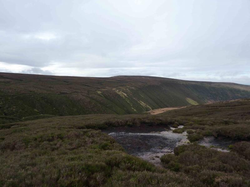
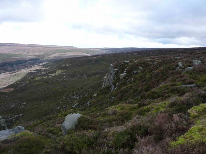
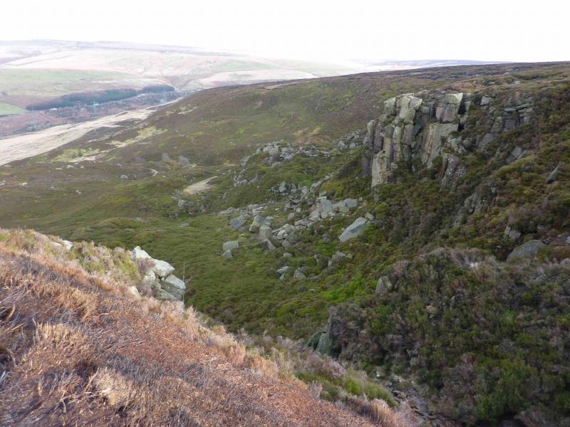
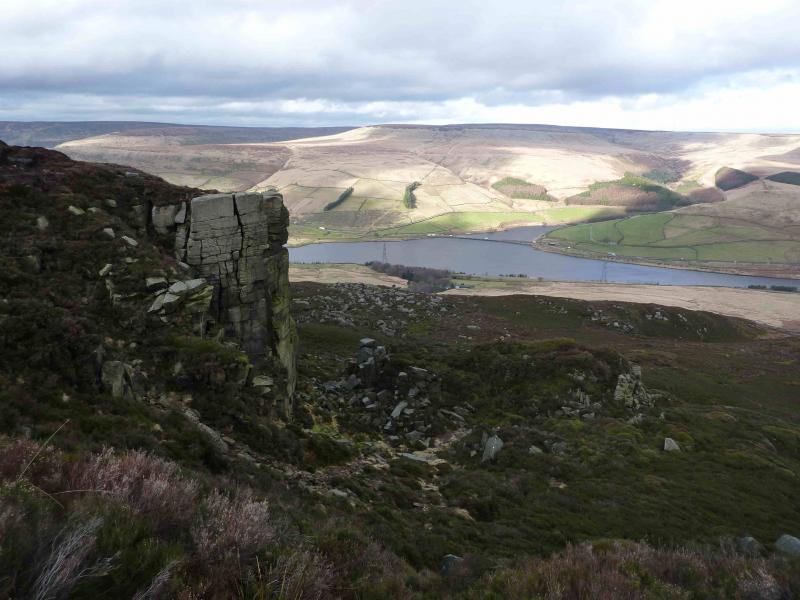
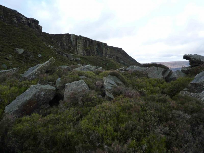
This is a rough walk which offers reasonable views towards Black Hill to the N. The edges walked are not particularly rocky as say Stanage, Burbage or Froggatt. This walk came about after a few hours aimlessly wandering around on the N side of Bleaklow. Therefore the route followed has sections which most will not want to follow as it goes across featureless moor land between Torside Clough and Lawrence Edge although the going is not too bad and not too boggy. The highlights are the “quiet” side of Torside Clough, Lawrence Edge, Deer Knowl, Shining Clough and the edge to Stable Clough. The return via the track down Stable Clough ought to be straightforward but the landowner has barred access at the bottom meaning the track has to be left leaving a rough traverse to reach the access road. After here, the track along the old railway can be pleasantly followed. The car park does not have any helpful signs in it to assist people in setting off in the correct direction.
Route
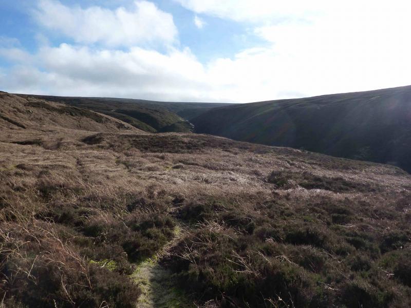
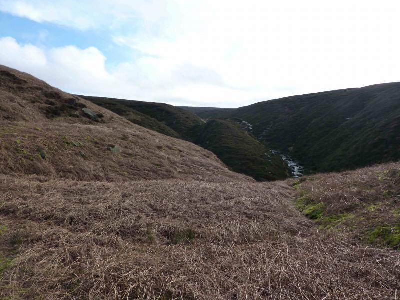
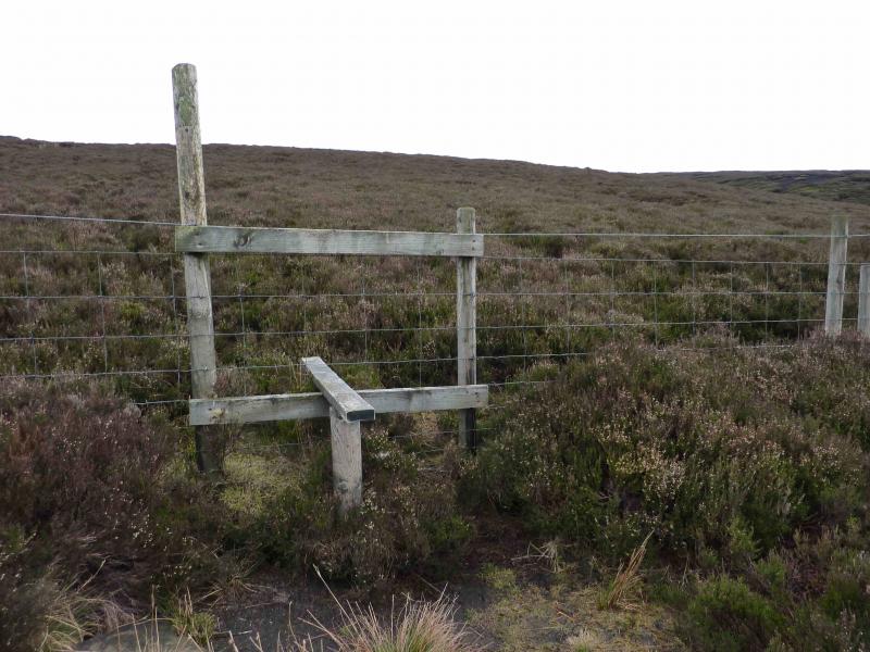
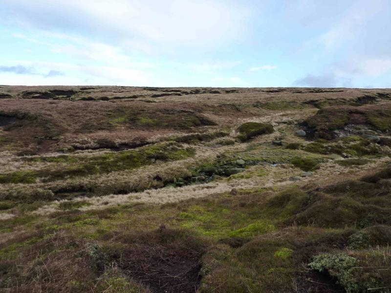
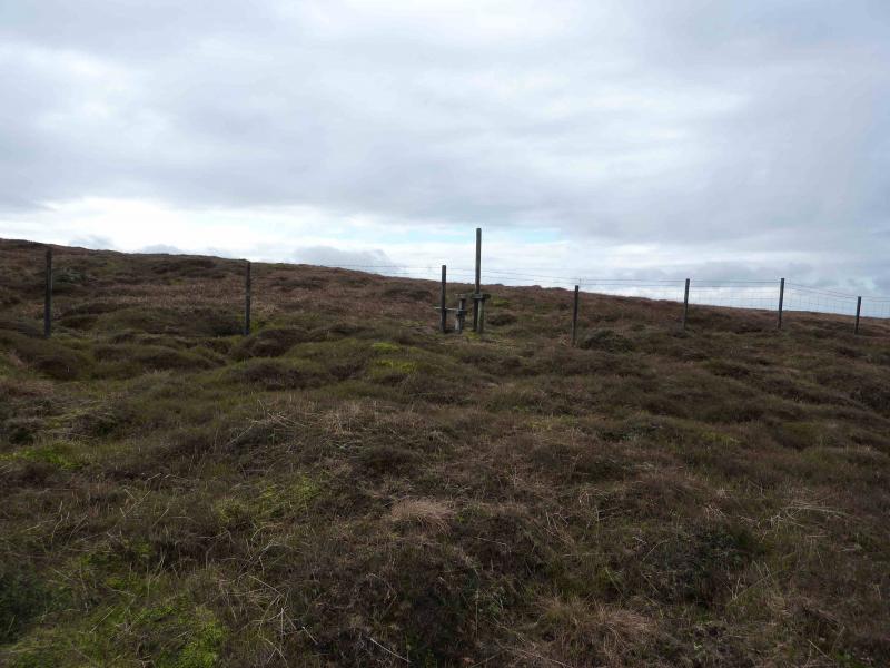
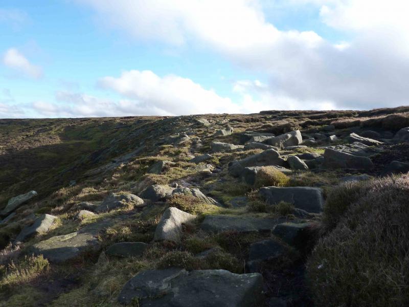
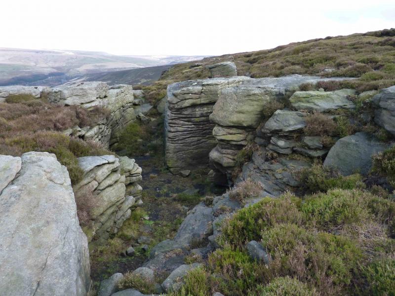
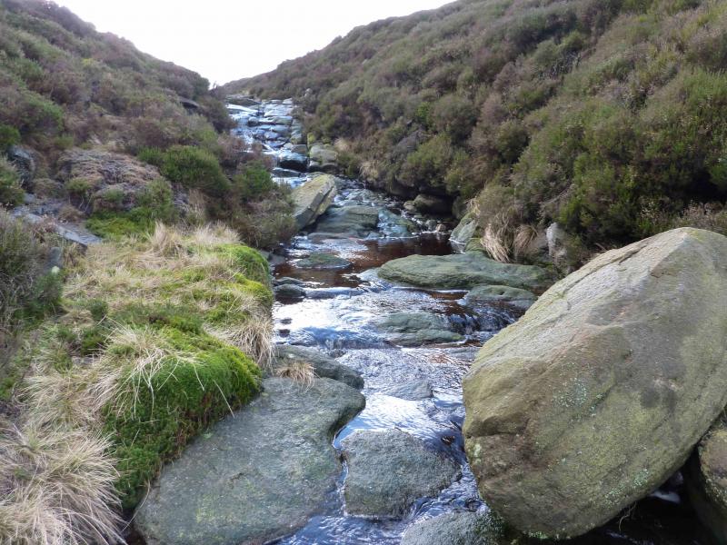
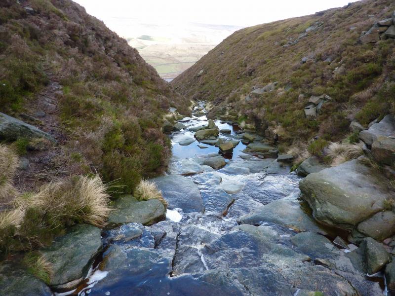
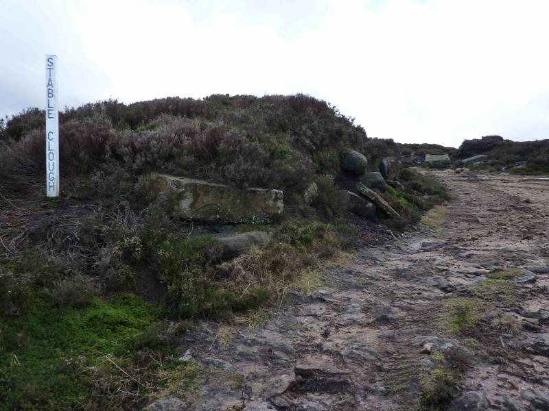
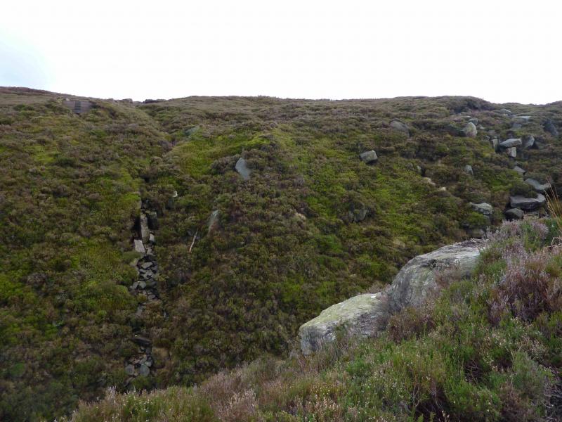
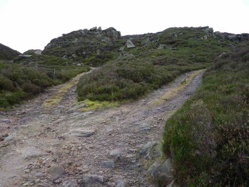
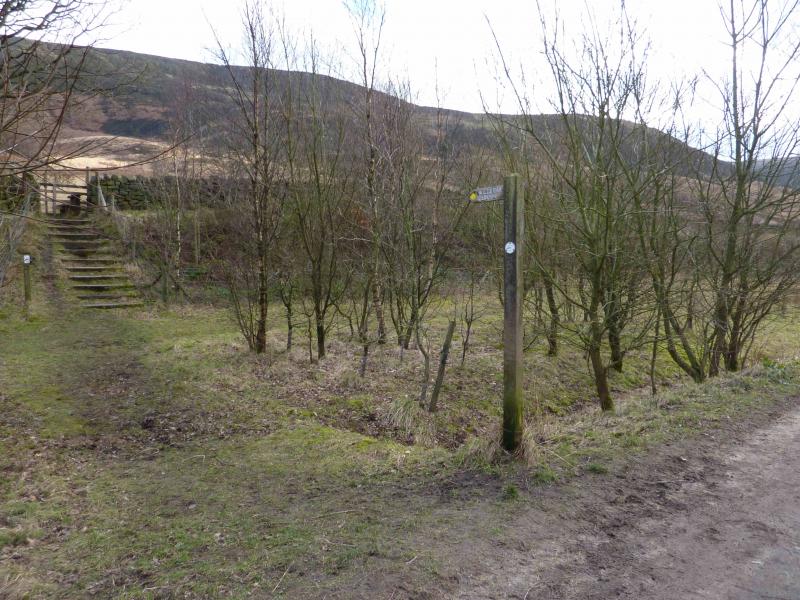
(1) From the car park, walk up the track (with benches) in the top left corner. Reach a “crossroads” with a sign post. Go across, following the sign for Torside Clough. The path follows a gently rising traverse S, by a wall for some of the way, to reach lower Torside Clough below Long Gutter Edge. The path continues up the E side of the clough. The Pennine Way is on the other side, high above the clough. When the Pennine Way is almost level and a confluence of streams is reached, head uphill, roughly NE, to reach a stile. This section can be hard going in deep heather but it is short lived. Continue beyond the fence and reach Wildboar Clough. Any fences met will have stiles but necessarily where there is a path! Walk N to reach the edge and follow it, on a path, with the overall direction being E. There is not much to see of the edge as it is all below you! Walk along Lawrence Edge then Deer Knowl. The one notable feature being a short, rocky, shallow and dry “canyon”. Continue to reach Shining Clough which is a stream flowing on rock in a narrow gap. Continue along the edge with more of the edge crags now visible. Soon the descent track will be seen below but no obvious way of reaching it! What you cannot see is that the track splits and one section (not seen from here) goes up the W side of Stable Clough. There seems to be a rough and steep path down a very minor stream which takes one into deep heather below then to the visible track. Ignore this and keep going, still on the path, which soon reaches an old fence. Go to the end of the fence then walk a little further, still on the path and going slightly uphill, to reach an ATV track. Turn left to reach the turning place at the top of the, previously unseen, Stable Clough track. This is roughly opposite a grouse butt high on the opposite bank.
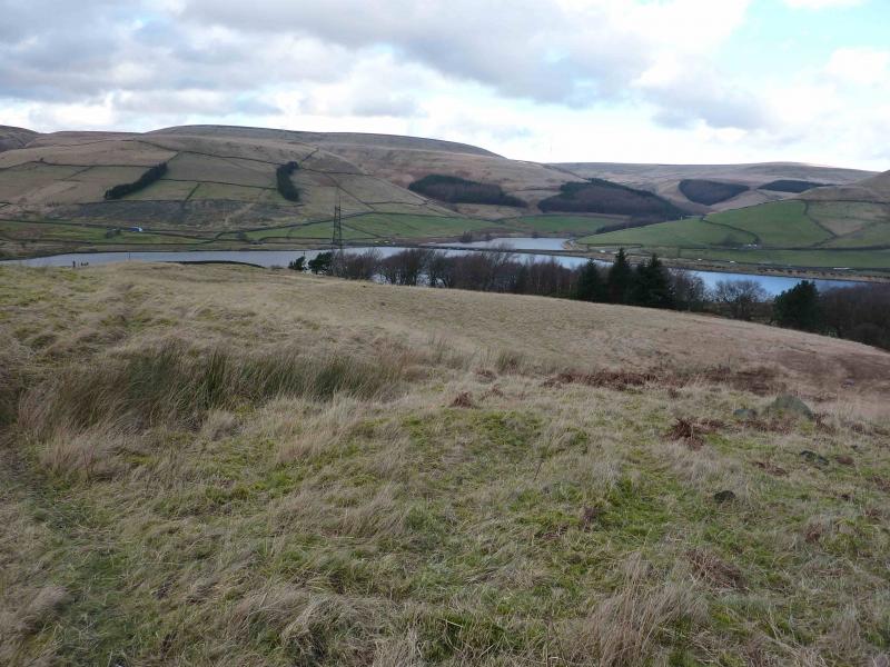
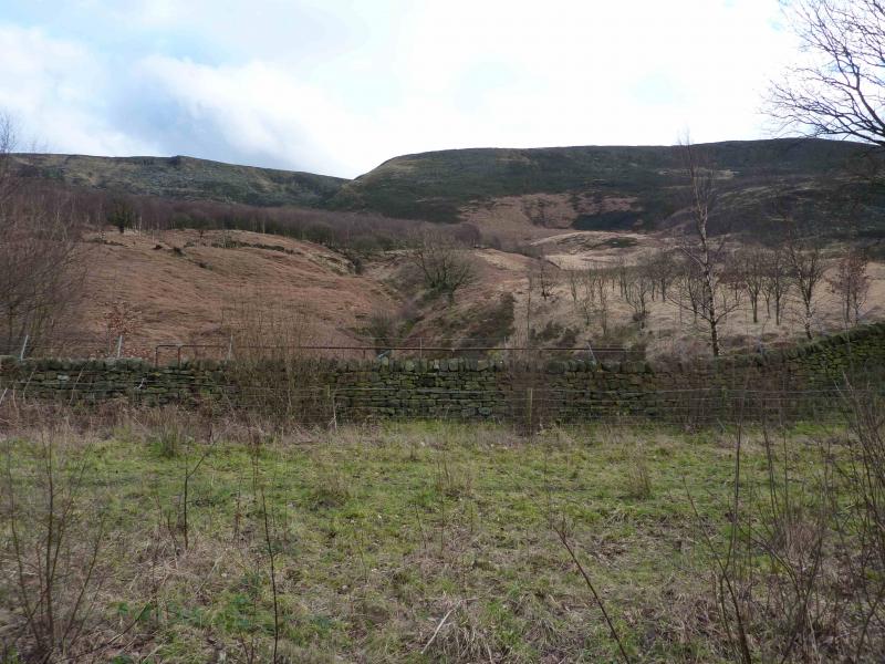
(2) Follow the track N and down. Lower down, there is a gate and a sign saying “Private. No Access”. The permitted route goes along side the fence on the left and is signed. This is not pleasant but not exactly horrible either and is mainly through long trampled grass. Follow the fence to the stream from Shining Clough. Another sign directs you where to cross the stream. The path leads down the W bank but soon diverges left and appears to be on the right of another fence. You need to be on the other side of this fence where there is a path/track which leads down to the tarmac access road W of The Lodge. Follow the road W. Just before the road ahead is blocked, cross a wall on the right by stone steps in the wall. On the other side is the track which was formerly the railway. Follow this W back to Torside car park.
Notes
(a) This walk took place on 4th February, 2014.
(b) Because the Stable Clough track is hidden from view from the edge from Shining Clough, some may be tempted to descend the rough, heathery and bouldery ground, on a kind of spur, towards the visible track. This is possible but the heather is deep, steep, slippery and there are hidden holes and rocks so great care is needed.
Photos - Hover over photo for caption. Click on to enlarge. Click on again to reduce.