Get Lost Mountaineering
You are here: Scotland » 01 South of Oban to Stirling and Fife » Loch Earn to Stirling
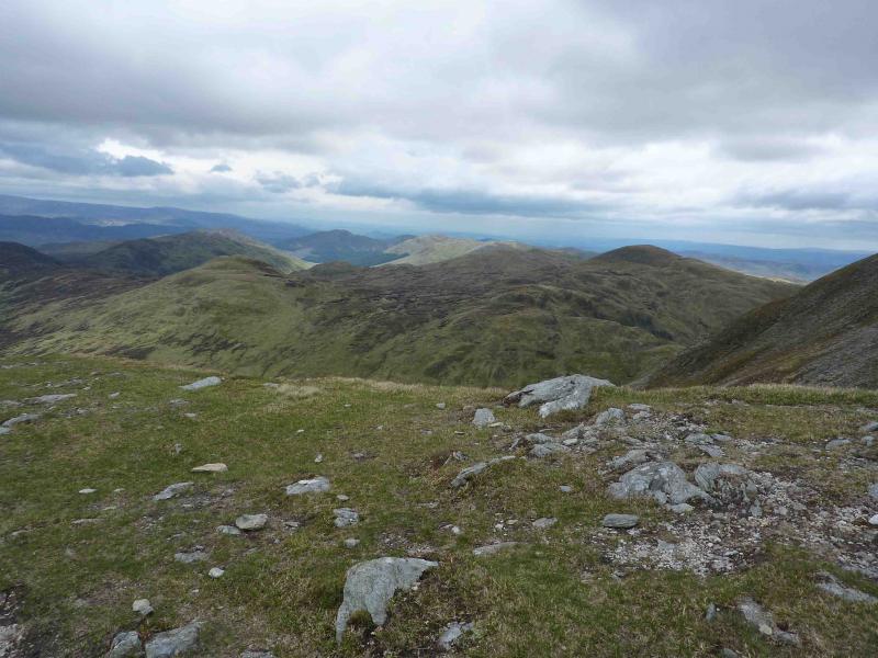
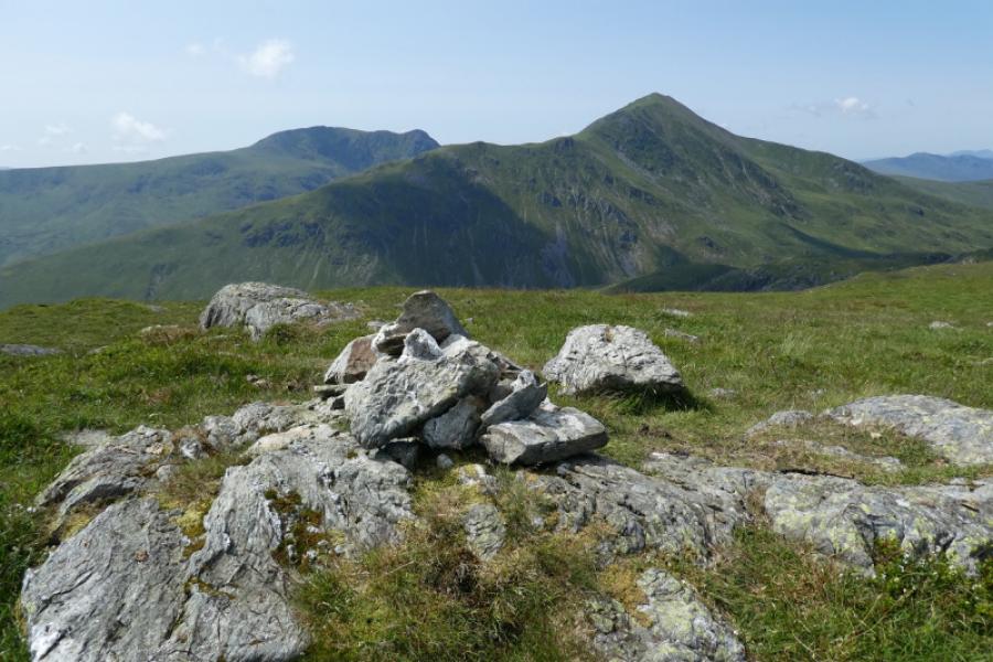
Meall na Fearna
Meall na Fearna from Ardvorlich
Start/Finish
Ardvorlich East gate about 5 km of A84 on the South Loch Earn road which leaves the A84 about 1 km S of Lochearnhead. Park on the wide verges just before the stone bridge.
Distance/Time
13 km About 5 hours
Peaks
Meall na Fearna, 809 m, NN 650 186. OS sheets 51 & 57.
Introduction
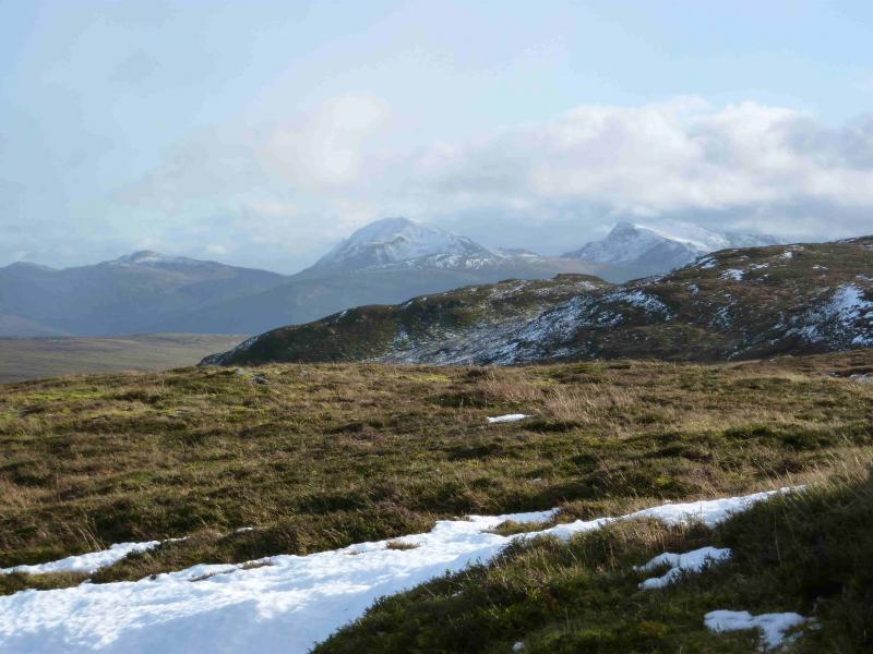
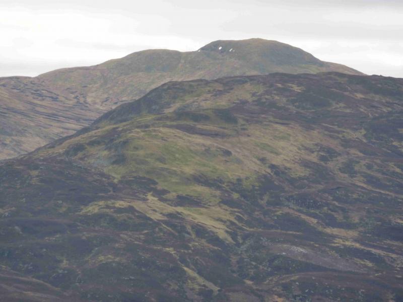
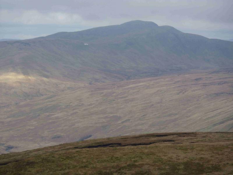
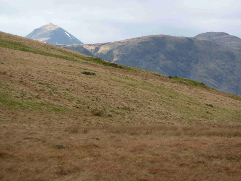
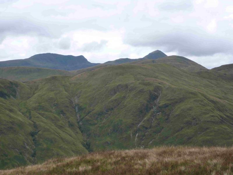
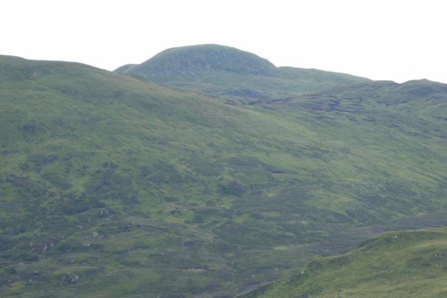
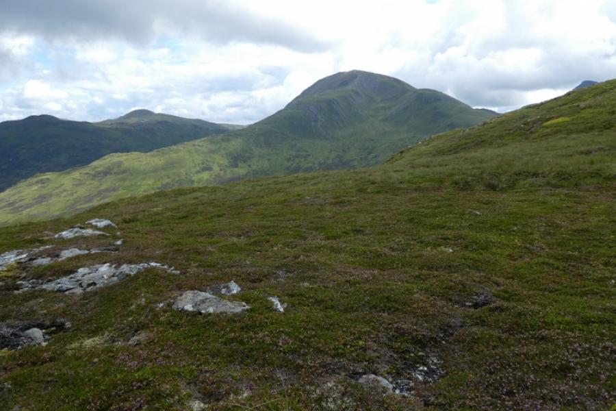
A very pleasant walk using good tracks, ATV track and pathless good ground. The summit is an excellent viewpoint for both Ben Vorlich and Stuc a' Chroinn as well as other neighbouring hills. This area is stalked so it would help the estate if this route could be avoided from about mid- August to about mid-October although Sundays within this period are fine. Note that Meall na Fearna is not seen until almost out of Glen Vorlich due to Beinn Domhnuill blocking the view.
Route
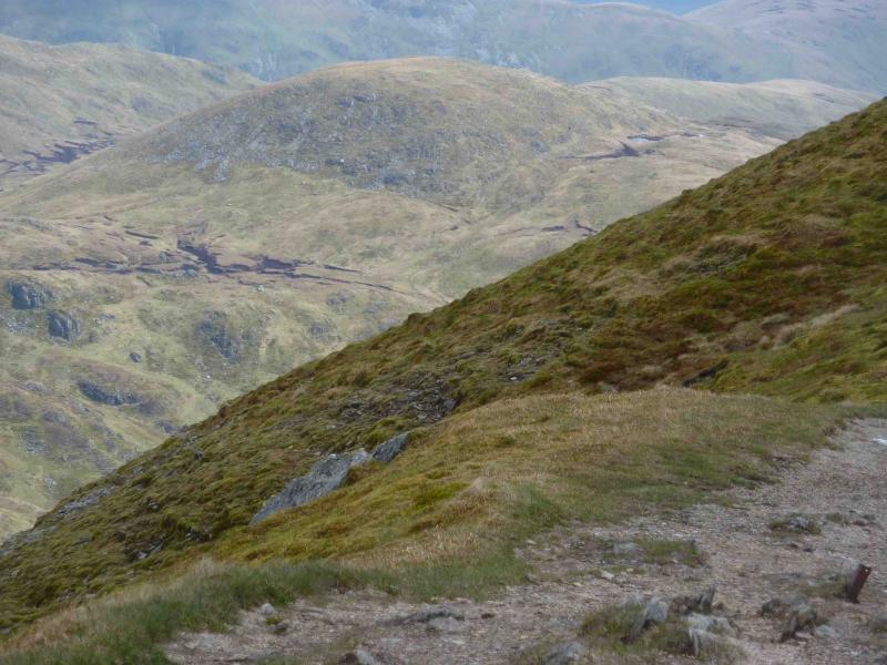
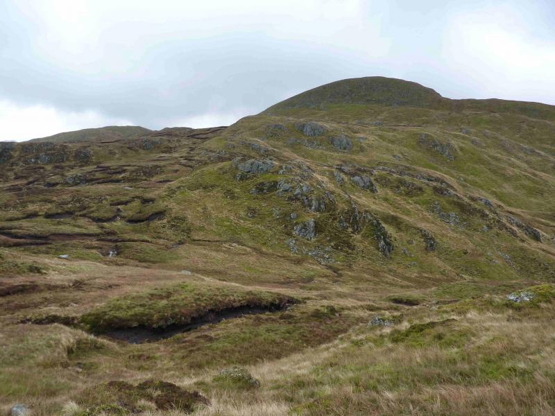
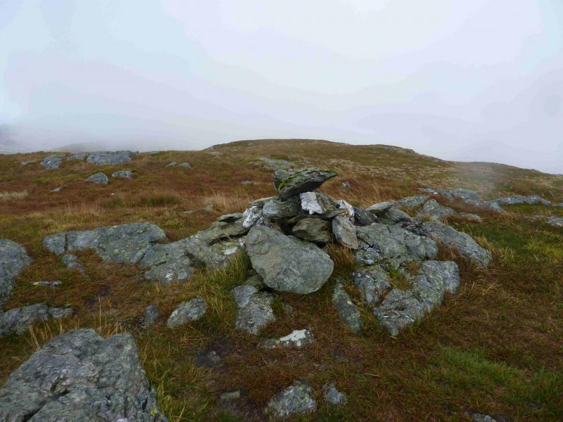
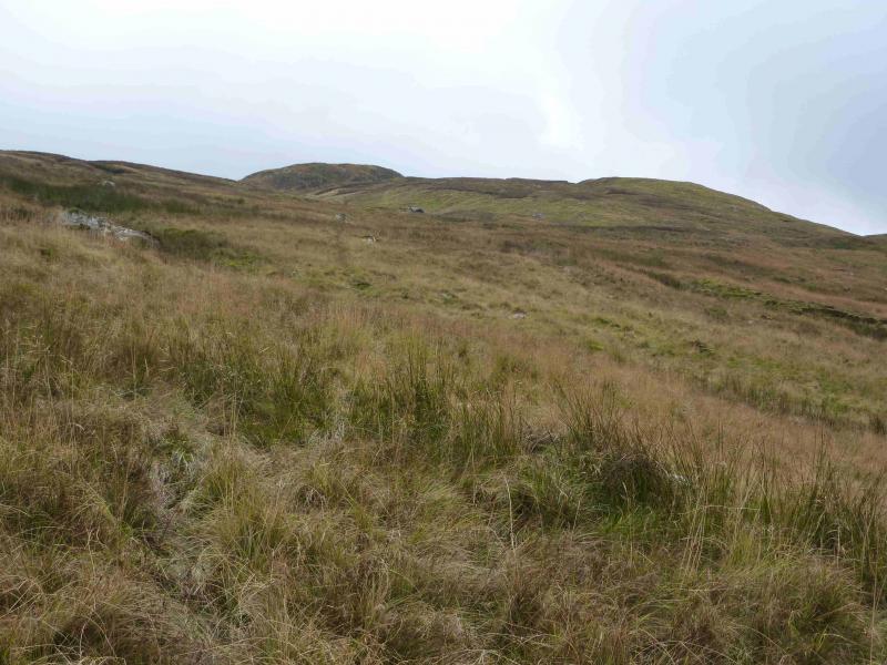
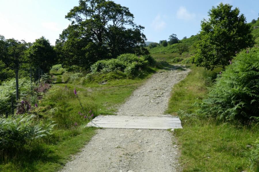
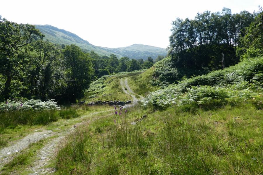
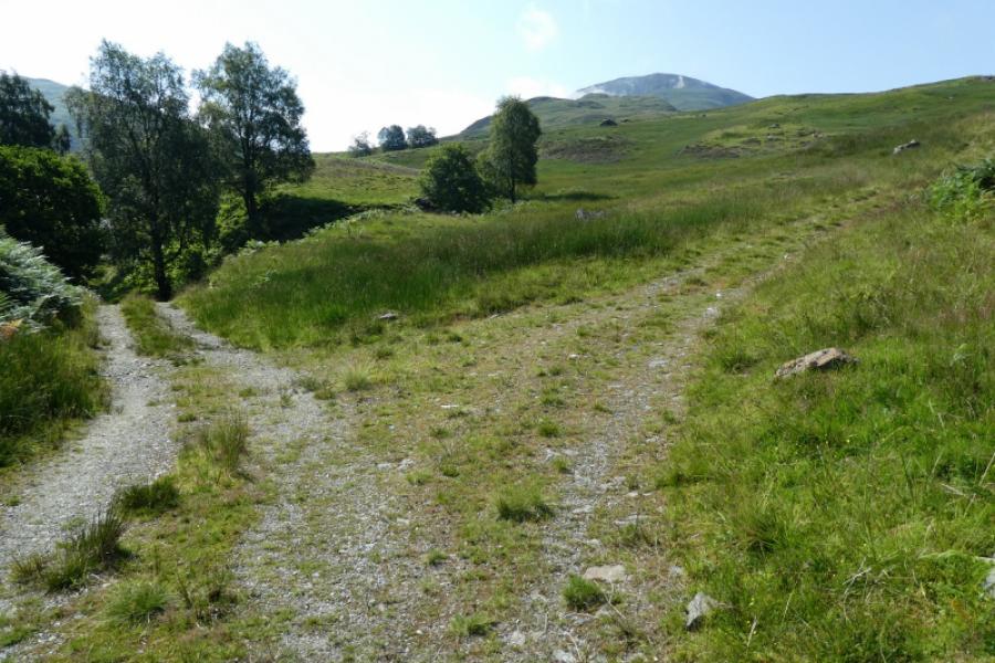
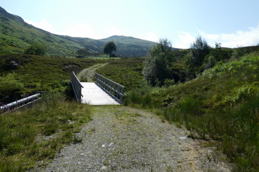
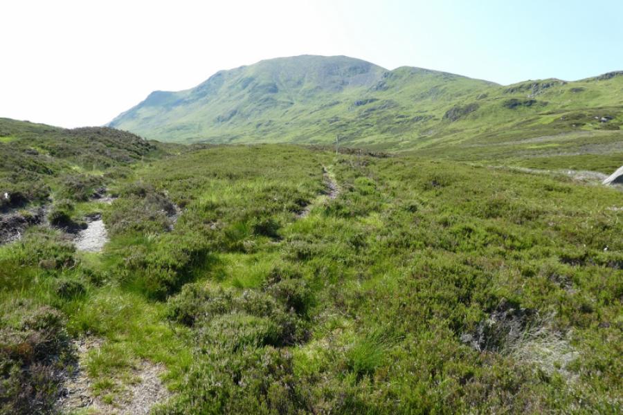
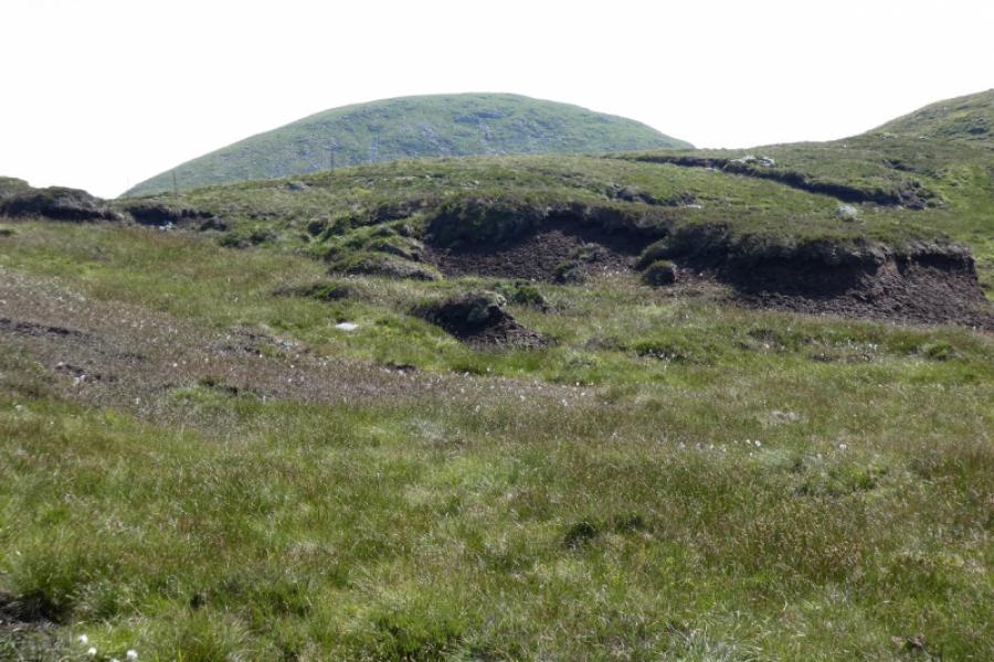
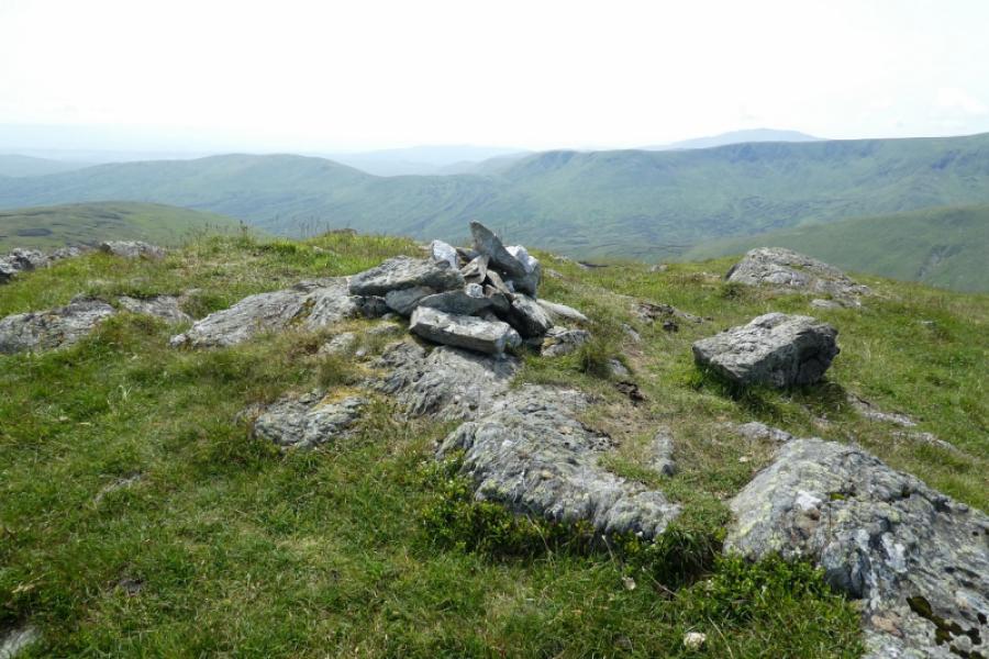
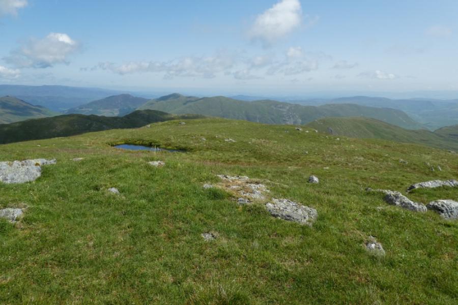
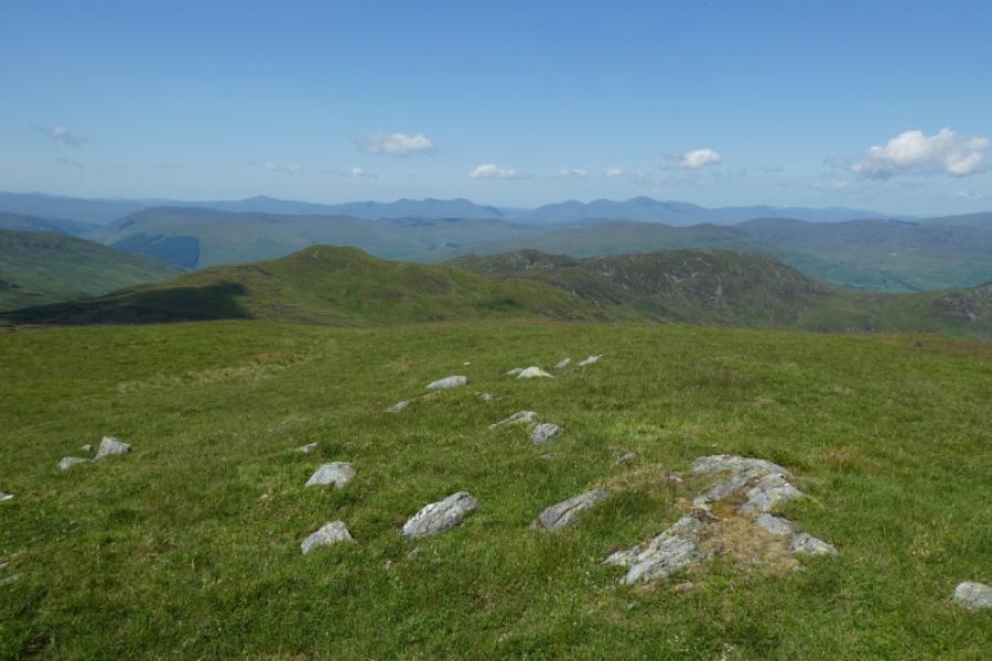
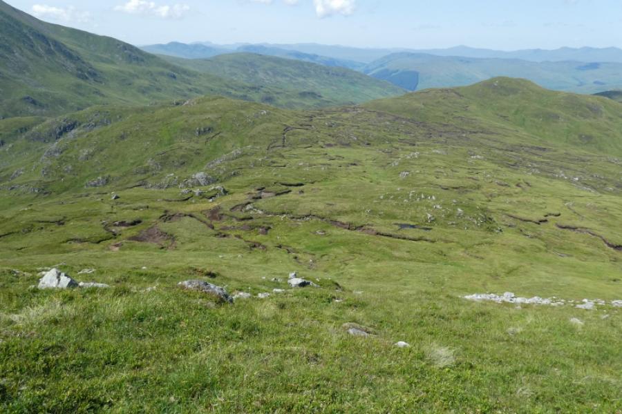
(1) Walk S up the obvious track from the stone bridge. There are some helpful signs. After about 1.3 km, a grassy track forks left following a deer fence. Follow this track, slightly boggy in places after rain, to reach the new hydro track and follow this to its end between two small dams. A rough ATV track takes over, initially heading towards the eastern dam before heading towards the Glen Vorlich – Gleann an Dubh Choirein bealach. However, the ATV track drifts SE and does not go to the bealach which actually helps with this route. Follow the ATV track, which can be boggy after rain, towards Beinn Domhnuill which it seems to bypass on its W flank. When the track finally peters out, note this point and the simplest route is to then aim for the shallow bealach between Beinn Domhnuill and its S top (NN 643 191). There are peat hags in this bealach which are best outflanked to the S (nearer the S top). However, in good weather, the best ground is probably found by aiming for the W ridge of this S top and following it up, crossing a line of fence posts. From either the bealach or the S top, descend slightly, again outflanking peat hags to reach the foot of the final ascent to Meall na Fearna. The direct route is up the steep, rock strewn, N flank but easier grassy slopes lie on the W flank which can be aimed for from the S top of Beinn Domhnuill. In good weather, these routes are obvious. In poor visibility, using the obvious landmarks means crossing the worst ground. A low cairn, reputedly often blown over, marks the summit of Meall na Fearna, 809 m.
(2) Return by the outward route. Resist the temptation to walk down the lower section of the hydro track as it passes through a farm at the bottom.
Notes
(a) This walk took place on 1st October, 2012, and 21st July, 2021 when extra photos were added.
Photos - Hover over photo for caption. Click on to enlarge. Click on again to reduce.