Get Lost Mountaineering
You are here: England » Lake District » 2 Far Eastern Fells
Bonscale Pike & Arthur's Pike from Howtown
Bonscale Pike & Arthur's Pike from Howtown
Start/Finish
Howtown. From Pooley Bridge, at the N end of Ullswater, take the road S signposted Howtown & Martindale. In places, this road is very narrow with passing places so you may need to reverse if you meet another car! Parking is a nightmare with very, very few places available. There is space for one very carefully parked car between the two gates at the public launch point before the pier. Please do not park where you may irritate local residents.
Distance/Time
8 km About 3 – 4 hours
Peaks
Bonscale Pike, 524 m, NY 453 201.
Arthur's Pike, 532 m, NY 461 207.
OS 1 : 50 000 , sheet 90. OS 1 : 25 000 Outdoor Leisure 5, English Lake District NE Area.
Introduction
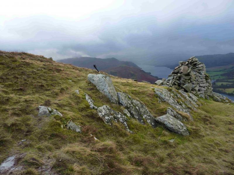
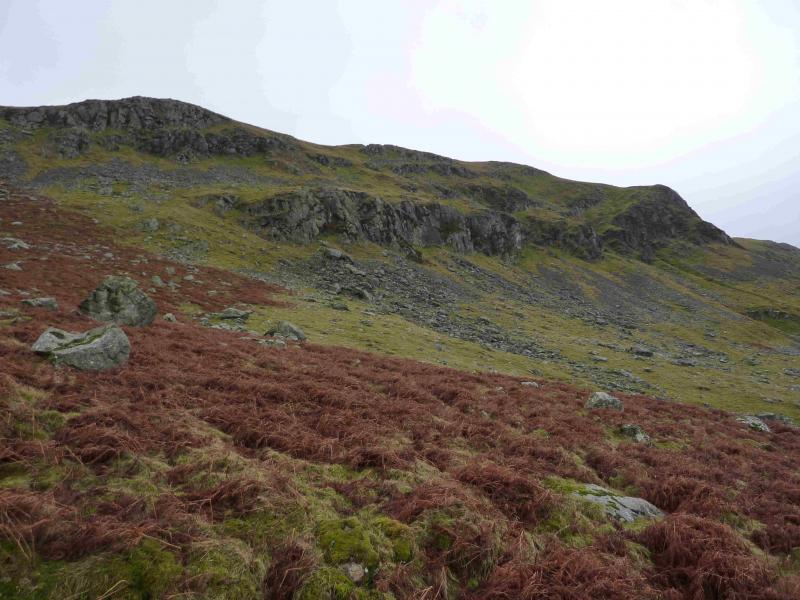
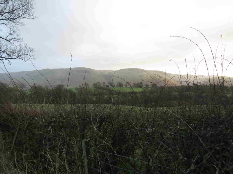
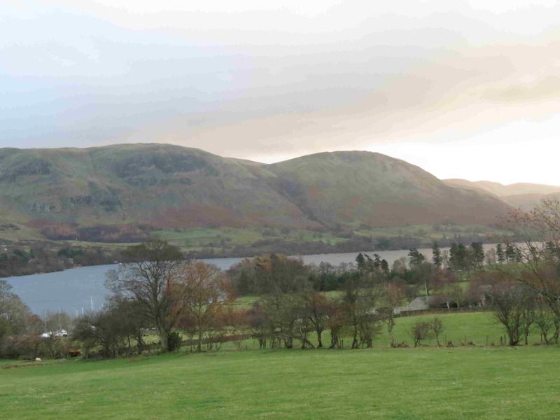
This is a tougher walk than it looks mainly because the ascent of Bonscale Pike is very steep, on short grass, in places. These tops are on the northern edge of the long ridge running N from High Street and which divides at the head of Swarthbeck Gill. Bonscale Pike is on the S side of the gill with Arthur's Pike on the N side. Neither of these two tops seem as distinctive as one would expect a pike to be. Both have cairns with Arthur's Pike having two cairned tops although the western one seems to be the higher. Being almost directly above Ullswater, there are excellent views on a clear day. Hallin Fell is prominent to the S. Across Ullswater, most of the Helvellyn range will be seen on a clear day as well as Gowbarrow and Great and Little Mell Fells. The Cross Fell range (Pennines N of the A 66)) should also be seen on a clear day.
Route
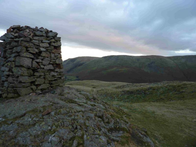
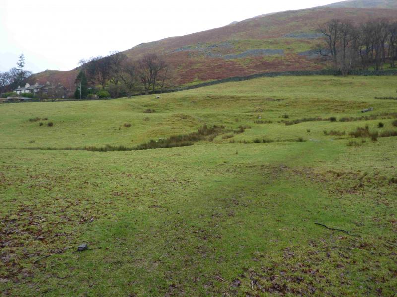
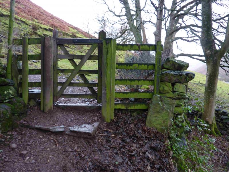
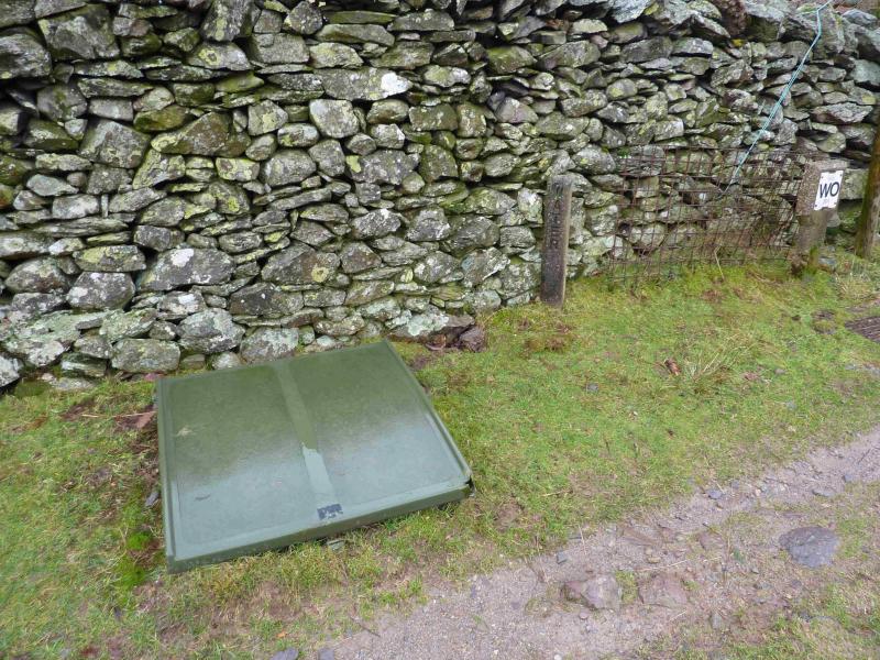
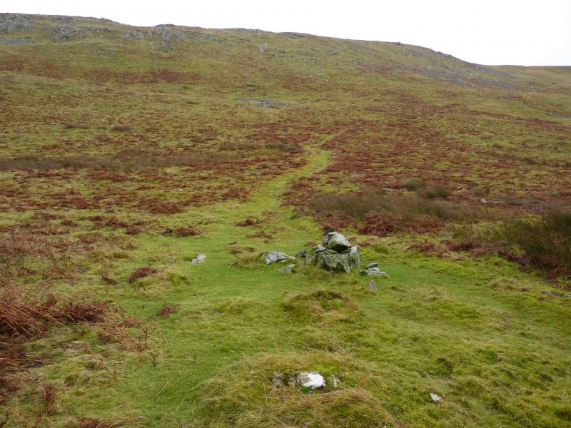
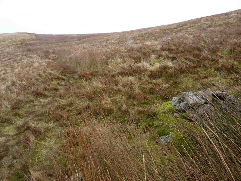
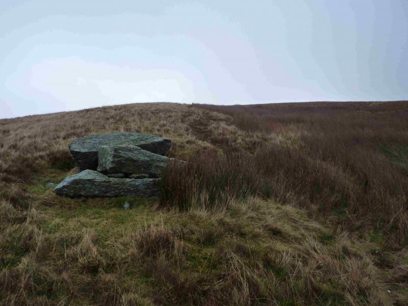
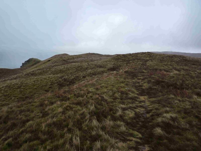
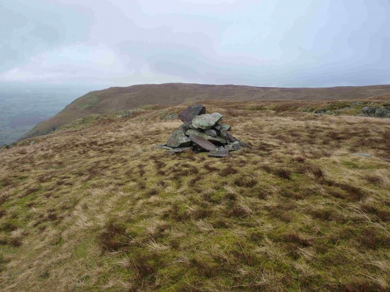
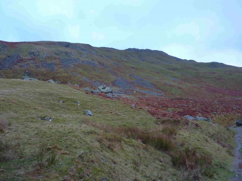
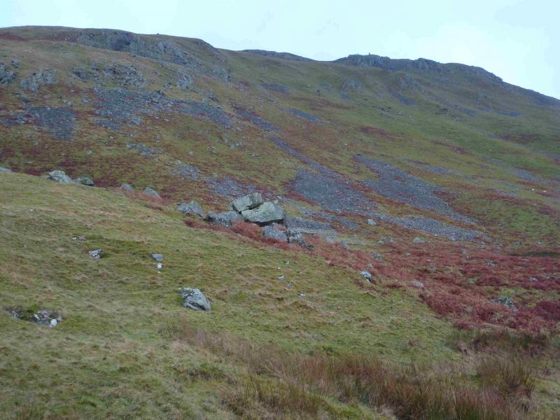
(1) To the left of the drive leading up to the Outdoor Centre (opposite the public launch point) is a wide gate with a not very obvious footpath sign. Go through the gate and walk diagonally across the field, on a path, heading towards a house. Go through a gate in the far corner then turn right and go through another gate to join a path. Go left, N, for about 10 metres, then take a reverse fork on to the path going S towards Mellguards. Walk above the Outdoor Centre until a short stone post which says “Water” on it is reached. There is a green capped water intake next to it. This is about halfway to Mellguards. If you reach a gate by a house, you have gone too far. Go straight uphill here, on a path, faint at first which soon becomes much more distinctive and looks like a freshly mown strip of grass. This path is very steep and could be too steep for some in wet or icy conditions. Follow the path up which changes direction at a cairn then, eventually, levels out at another cairn and heads N soon converging with the ridge just above. The ridge is really just an undulating shoulder. Soon various paths go off to the left. These can be followed if one wishes to be closer to the edge. There is a small “bump” below the ridge, on the Ullswater side which has a small cairn on it. Above, on the ridge, another cairn sits on a not very distinctive top and this seems to mark the summit of Bonscale Pike, 524 m. Slightly further N and left, W, there are two tallish square cairns.
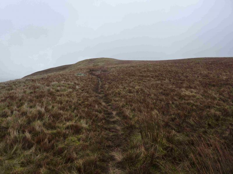
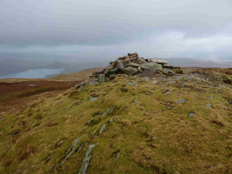
(2) A path goes roughly NE from the summit but soon curves round and follows Swarthbeck Gill up to an old ruin where the gill is crossed and a very distinctive grassy path/track is then followed up gently sloping ground.. Once level ground is reached, there is a faint path going off right which soon leads to a mound with a low cairn on it. This does not appear to be the highest point but it may be prudent to visit it. Retrace to the main path and look for a path leaving it on the other side, left, which goes to a slightly higher mound on which sits a slightly larger cairn which seems to mark the summit of Arthur's Pike, 532 m.
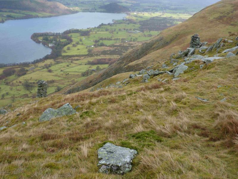
(3) From the summit, a faint path leads towards Ullswater and a line of cairns, each offering good views of Ullswater. Between the last two cairns is a path going N along the edge which can be followed. Unless it is very misty, the track way below which leads back to Howtown will soon be seen. Eventually, the edge path will meet this track but there is no need to go that far as the path, now looking like a strip of freshly mown grass, curves left to cut the corner and join the track below near to the left corner of an obvious wood. Once on the track, follow it back to the house which is diagonally across the field from the start and retrace the initial part of the outward route.
Notes
(a) This walk took place on 17th January, 2014.
Photos - Hover over photo for caption. Click on to enlarge. Click on again to reduce.