Get Lost Mountaineering
You are here: England » Lake District » 2 Far Eastern Fells
Angletarn Beck, Angletarn & Brock Crags from Hartsop
Angletarn Beck, Angletarn & Brock Crags from Hartsop
Start/Finish
Park at the NW corner of Brothers Water as there is no nearer parking in Hartsop. Brothers Water is at the foot of the Kirkstone Pass on the A592 which runs from Windermere to Penrith.
Distance/Time
8 km 3 – 4 hours
Peaks
Brock Crags, 561 m, NY 417 136. OS 1: 50 000, sheet 90.
OS 1: 25 000 Outdoor Leisure 5, English Lake District NE Area.
Introduction
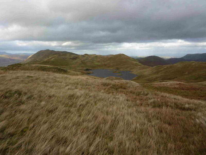
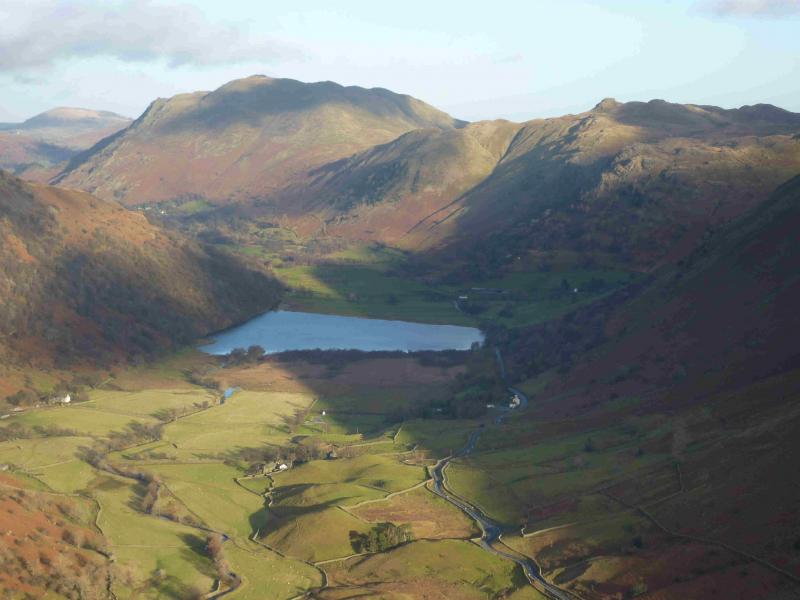
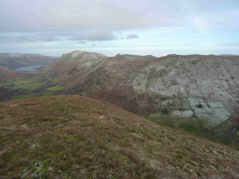
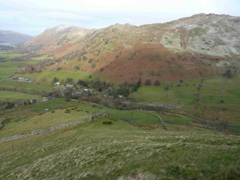
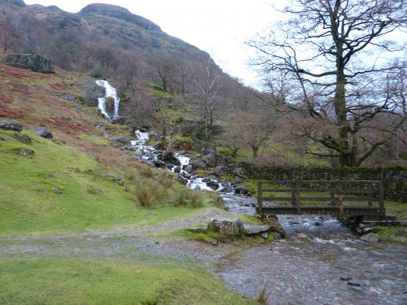
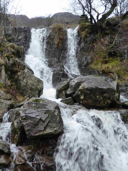
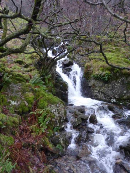
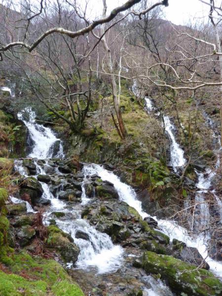
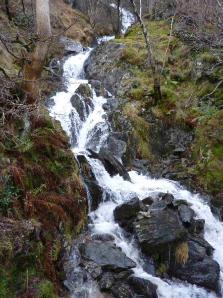
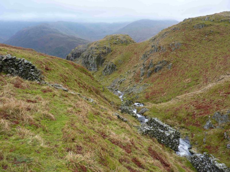
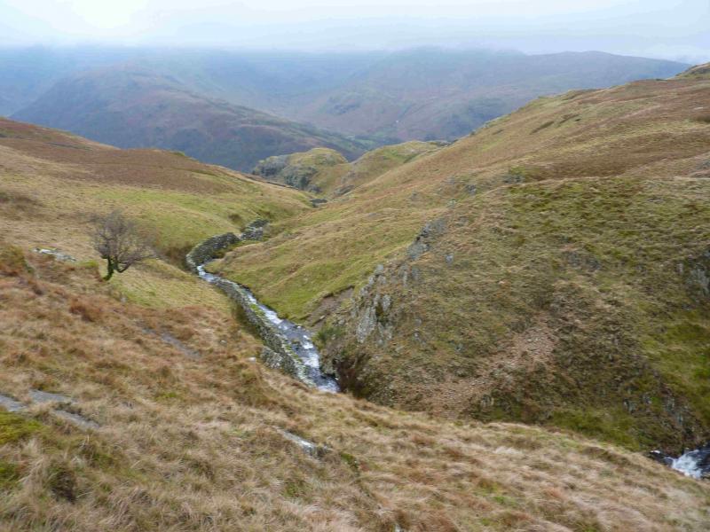
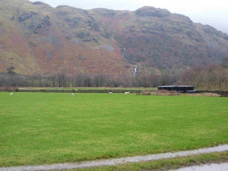
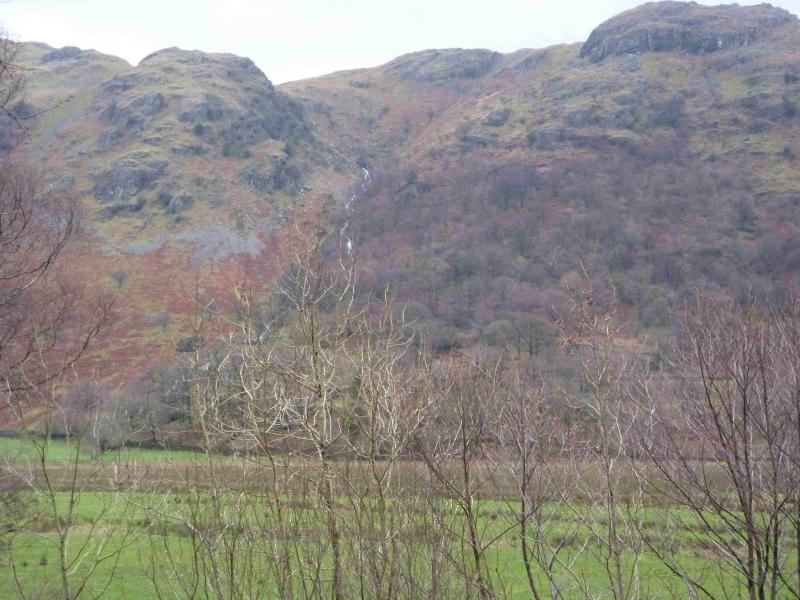
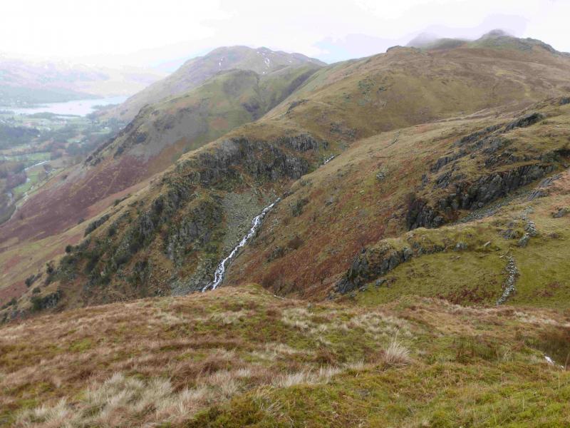
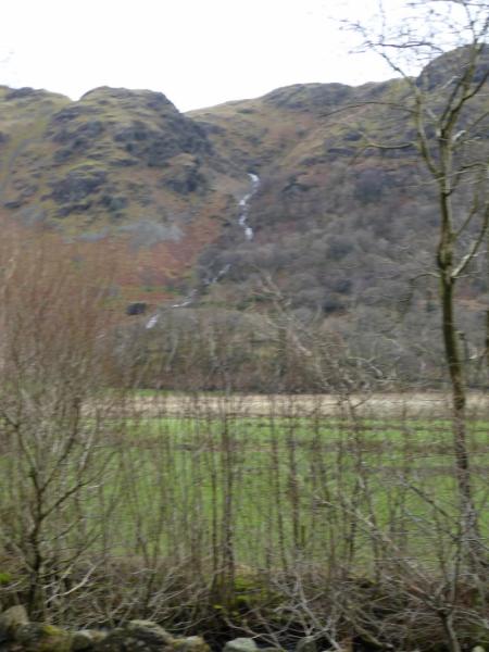
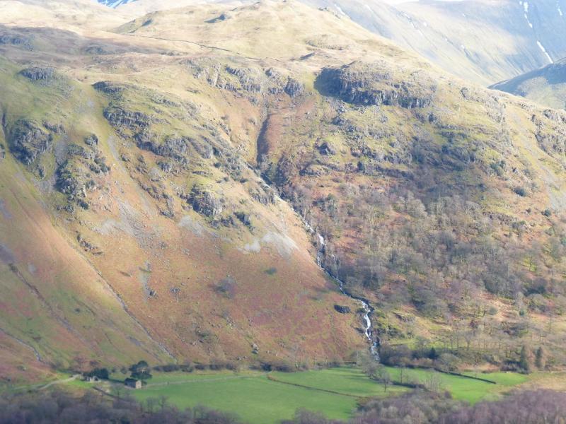
This is a lovely walk which makes a reasonable circuit from the foot of Angletarn Beck which is a succession of waterfalls in its lower reaches. There are reasonable and fairly distinctive paths most of the way. However, the ascent of Angletarn Beck is quite steep and rocky in places although it is not a scramble. In wet weather or under snow, the rocky terrain may be very slippery. On a clear day, the views are excellent especially to nearby fells such as the Angletarn Pikes, Rest Dodd, The Nab and the High Street range. Across the Kirkstone Pass road, one can usually enjoy excellent views of Hartsop Above How, Red Screes, Dove Crag, Hart Crag, Fairfield, St. Sunday Crag, Dollywaggon Pike, Nethermost Pike, Helvellyn, Catstye Cam and many more. The length of this walk is ideal for a short winter's day but may only be for the experienced if winter conditions prevail.
Route
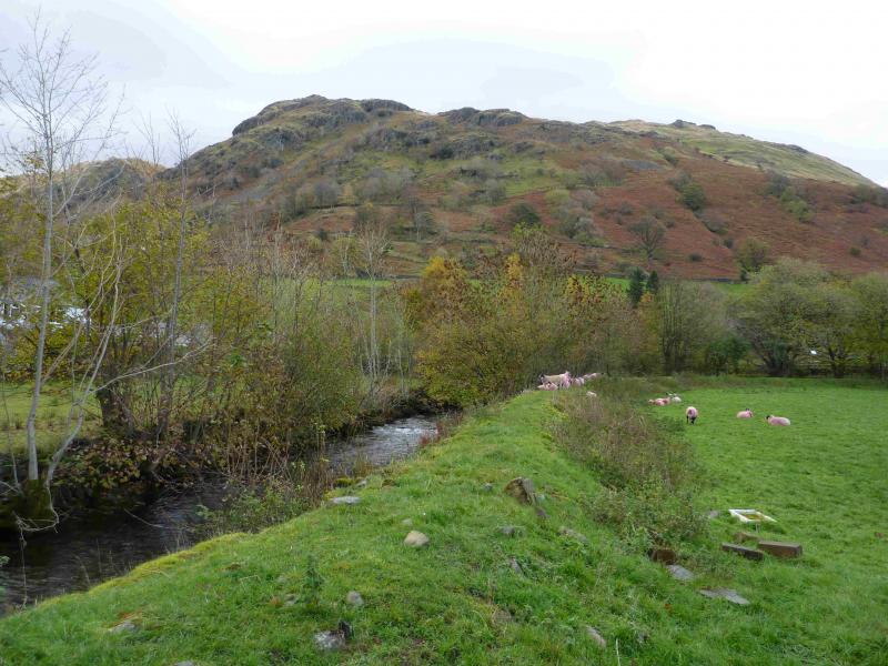
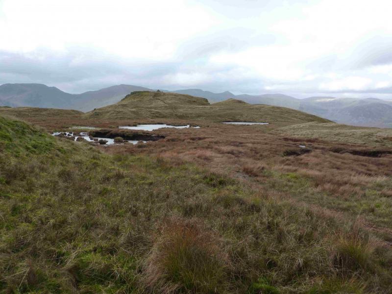
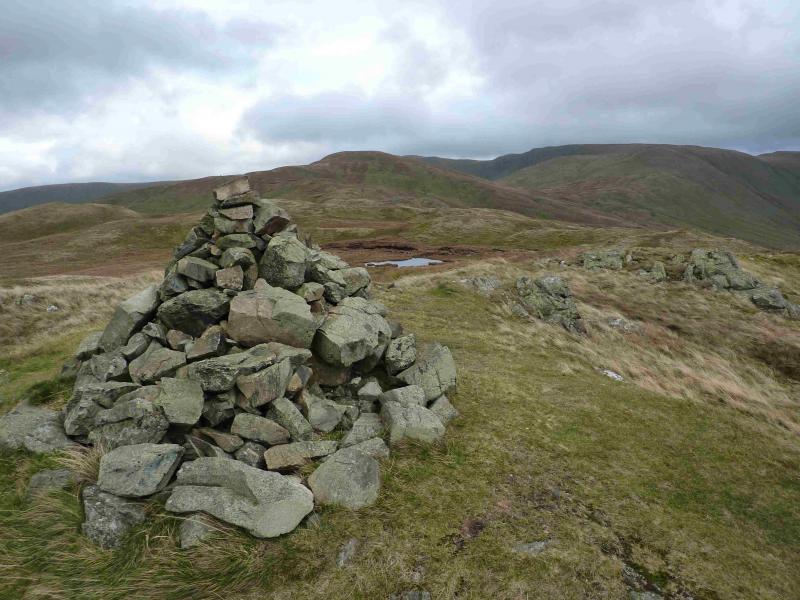
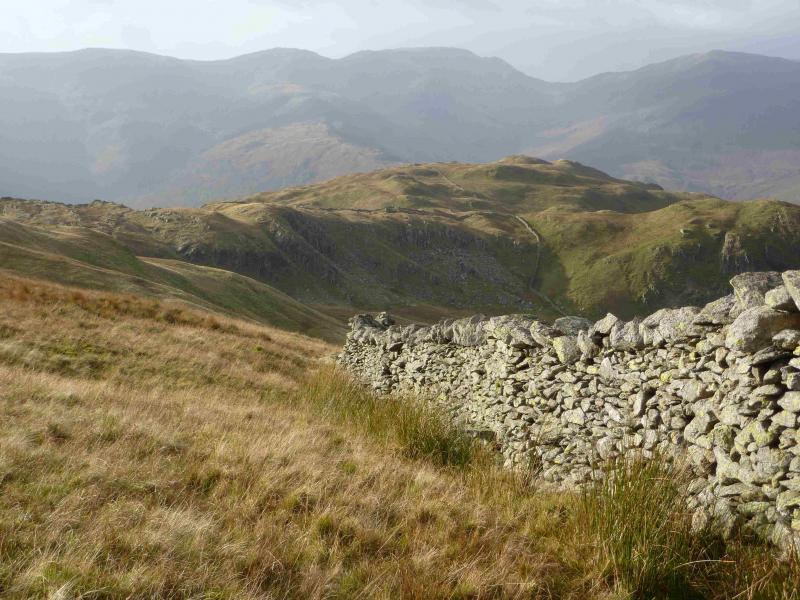
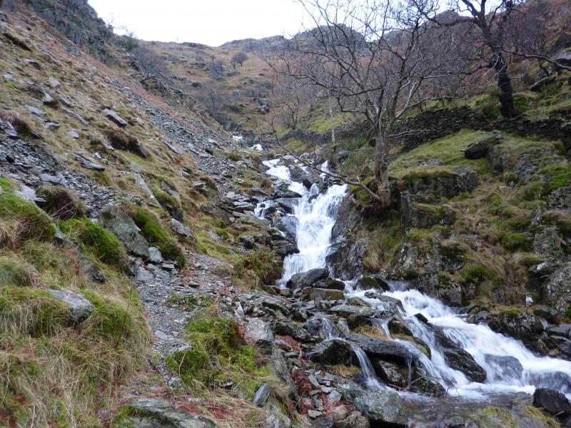
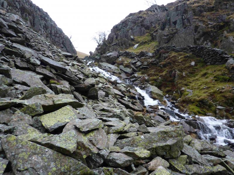
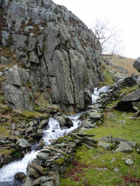
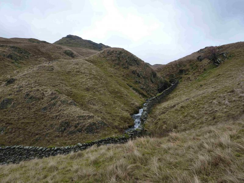
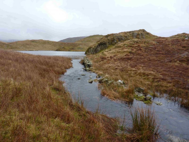
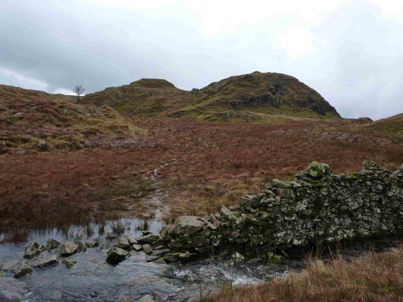
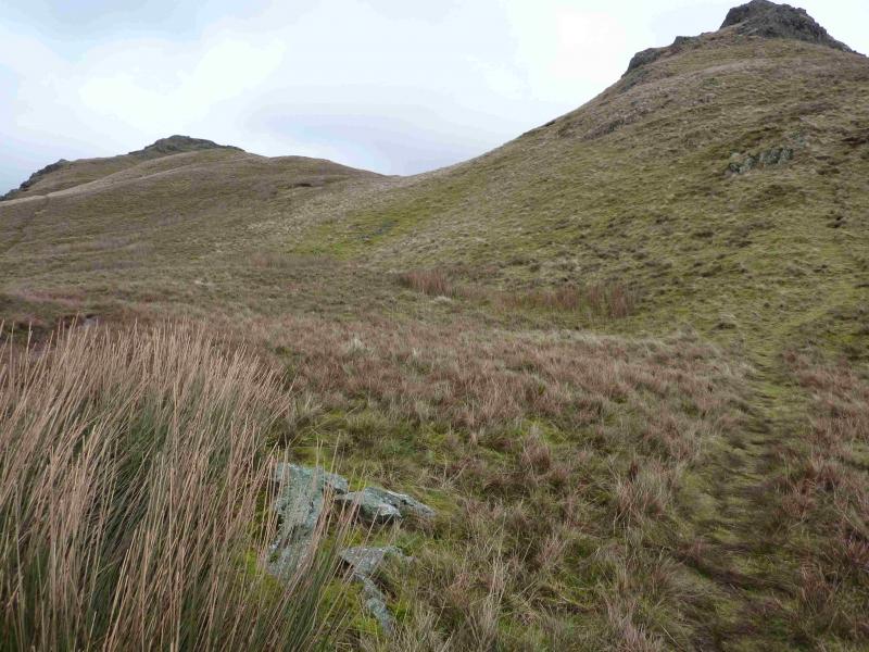
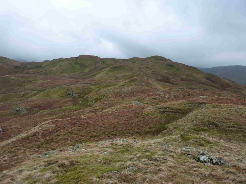
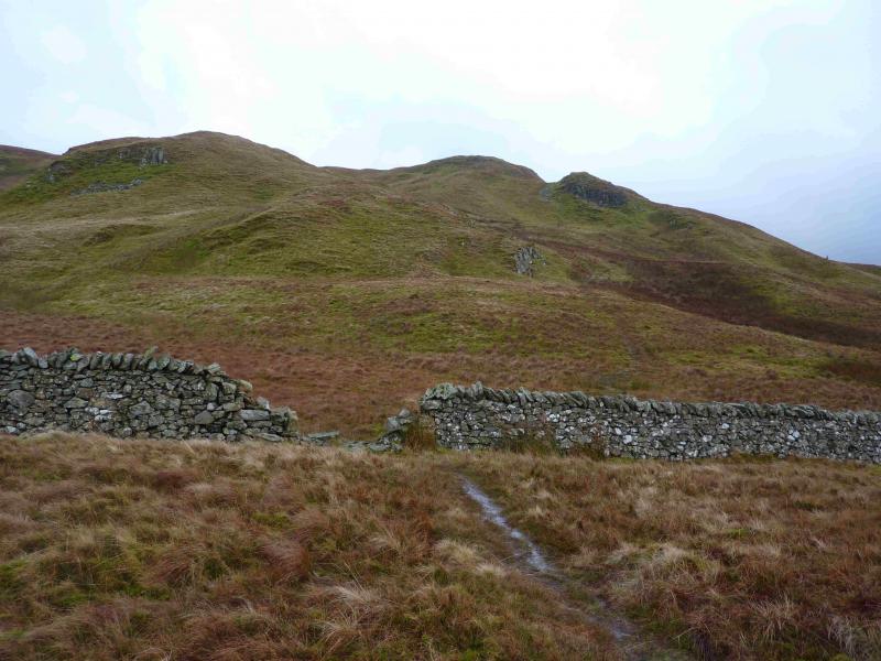
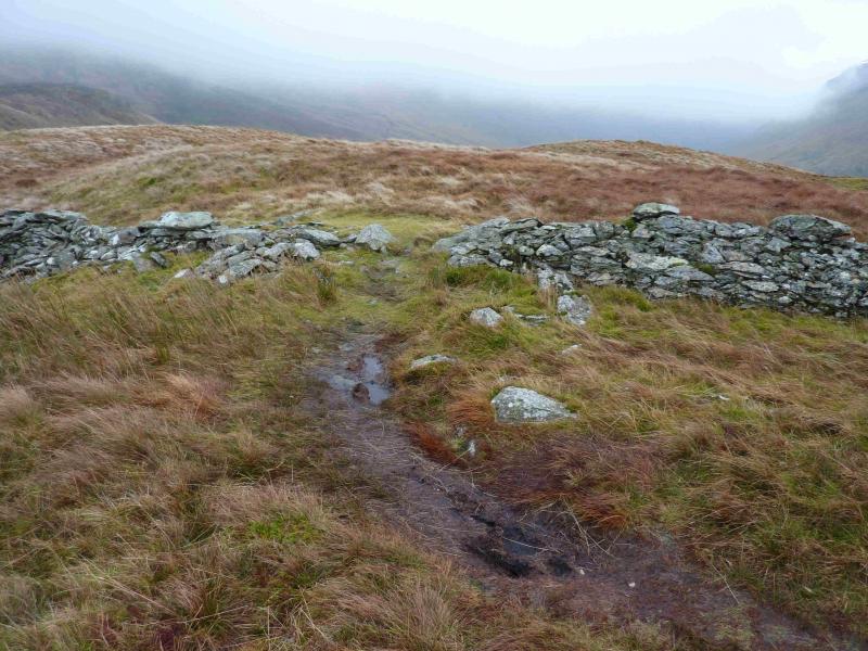
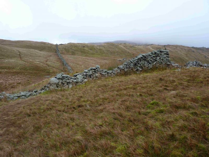
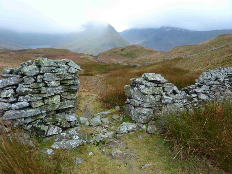
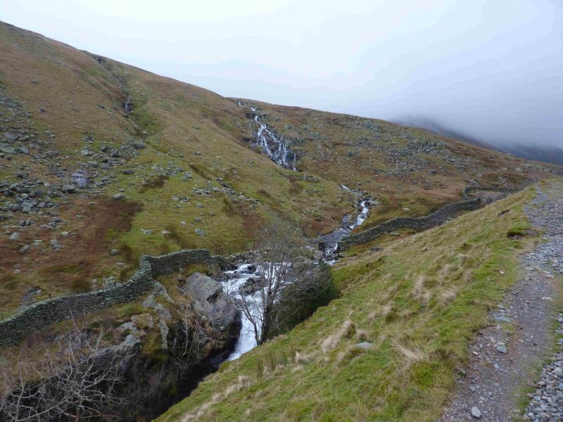
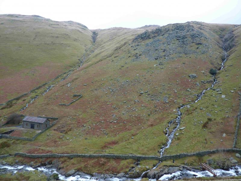
(1) From the NW corner of Brothers Water car park, walk SE towards Kirkstone Pass. At the stone bus shelter, take the minor road for Hartsop village but turn left on to a more minor road after the first building. The minor road leads past Hartsop Fold (holiday chalets) after which it becomes a stony track. Follow this road/track for just under 1 km, from Hartsop, to where it goes through a gate just before Angletarn Beck. There is a small footbridge over the beck if it is in spate. Cross the beck and take the path up its N side, keeping the beck on your right. Notice a gate on the S side of the beck about 40 m up. This is used on the return. It is quite common for outdoor groups to practice ghyll scrambling here and one can often hear the voices of excited children as Angletarn Beck is approached along the track. Follow the path up the N side of the beck which is narrow but fairly distinctive. Care is needed in places where the bank of the beck is steep. A stone wall is on the S side most of the way up. When a path is seen on the S side – it is actually behind the wall but can be seen through the odd gap where the wall has fallen down – one can cross over the beck and follow the path up the S side. Crossing the beck may be a problem in some places if it is in spate so be careful not to be swept over a waterfall and choose your crossing place carefully. A better alternative though is to stay on the N side of the beck for as long as possible. The path gets fainter higher up and one has to negotiate short sections of steep scree made up of large rocks. Eventually, progress on the N side is blocked by a cliff so one may have to cross the beck about here. However, if the beck is not in spate, one may be able to pass the cliff in the stream bed then continue easily. Which ever side of the beck you are now on, continue up easily, on gentle grassy ground, to where the beck leaves Angle Tarn. Just before the tarn a rough grassy track crosses the beck. Turn right, S, and follow the path, which can be quite sodden after heavy rain, on the W side of Angle Tarn then between the the two tops near Cat Crag before a short ascent leads to the large cairn which marks the summit of Brock Crags, 561 m.
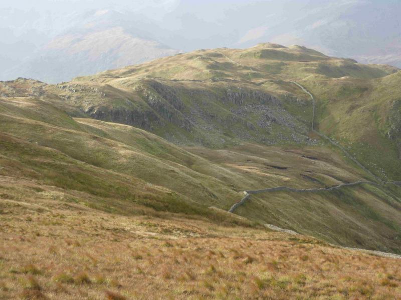
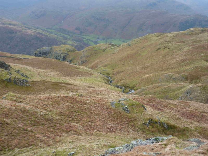
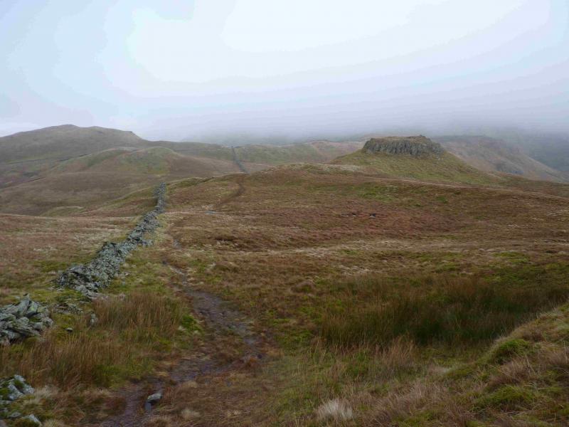
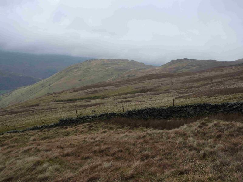
(2) Turn left, roughly ENE, on a distinctive grassy path and descend into a wet area where the path splits. Take either branch as it recombines soon after. When a wall is seen, follow it, still on the path, to meet another wall, running NW – SE, and follow it SE to where there is an old gate hole in the wall which is soon after another wall going off right. A path leads down from this gate hole back to the wall just passed on the right but this way gives the easier path to follow. Follow the path down. Soon after the path leaves the gill and swings SW, descending gently down a grassy rib. Lower down, the path meets a deer fence. There is a stile here but do not cross. Instead follow the fence W (right) which has a path alongside. The path ascends slightly to reach a gate (usually open). The path improves and almost becomes a track. Continue to follow it, crossing a few streams which will need care in wet conditions. The path drops through a wood to reach a stream and wall. Turn right, N, and follow the path back to the gate about 40 m above the foot of Angletarn Beck. Normally, one would then cross Angletarn Beck and go down the N side to the bridge, turn left, S, and follow the track back to Hartsop, however, if the beck is in spate, it may be necessary to stay on the S side. This needs care as there is a steep and slippery boulder with a drop of over a metre to be negotiated. On 15/1/14, there was a rope to assist the unwary!
Notes
(a) This walk took place on 15th January, 2014 in very wet conditions.
Photos - Hover over photo for caption. Click on to enlarge. Click on again to reduce.