Get Lost Mountaineering
You are here: England » Peak District » Bleaklow, Higher Shelf Stones & Cock Hill from Old Glossop & Snake Pass
Yellow Slacks Ridge, Bleaklow Head & Higher Shelf Stones
Yellow Slacks Ridge, Bleaklow Head & Higher Shelf Stones
from Old Glossop
Start/Finish
The turning circle at the end of Shepley Street in Old Glossop. From Glossop, take the Snake Pass road. Go through the first roundabout then take the next left at the Commercial Inn which goes up Manor Park Road. Higher up, the road seems to go right which is Shepley Street (there is a street sign). Follow this to its end at a turning circle just after a large factory on the left. Do not park in the trurning circle but park sensibly close by.
Distance/Time
13 km About 5 hours
Peaks
Bleaklow Head, 633 m, SK 092 958.
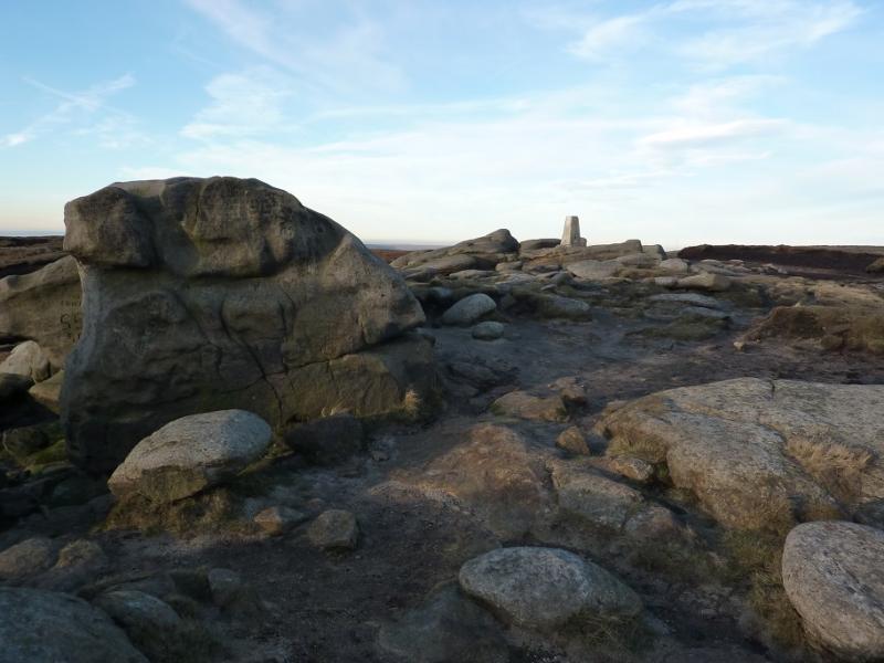
Higher Shelf Stones, 621 m, SK 088 947.
OS Outdoor Leisure 1: Dark Peak. OS 1 : 50 000 Sheet 110.
Introduction
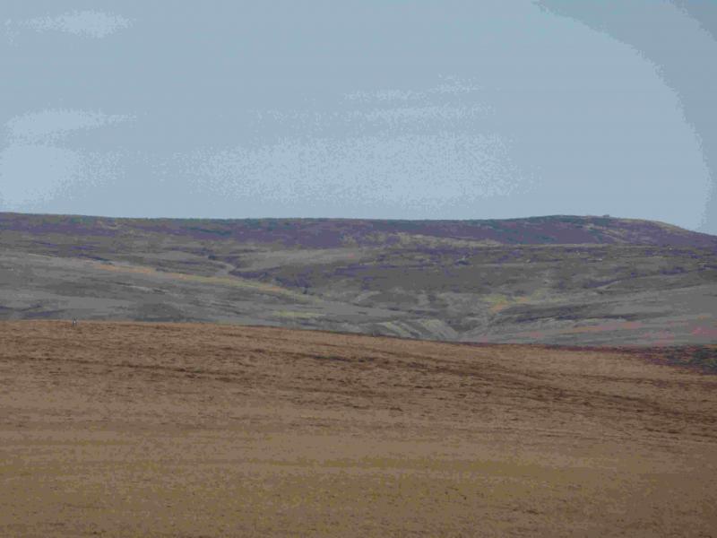
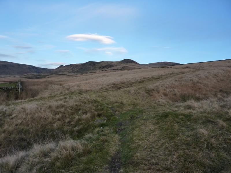
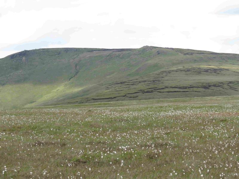
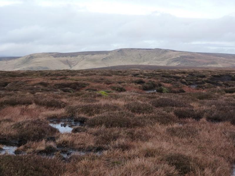
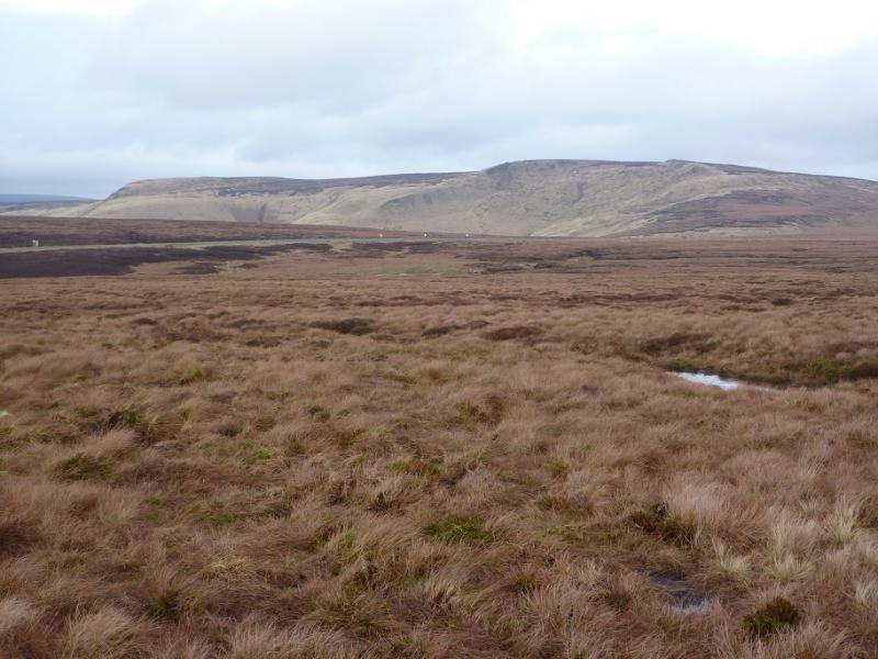
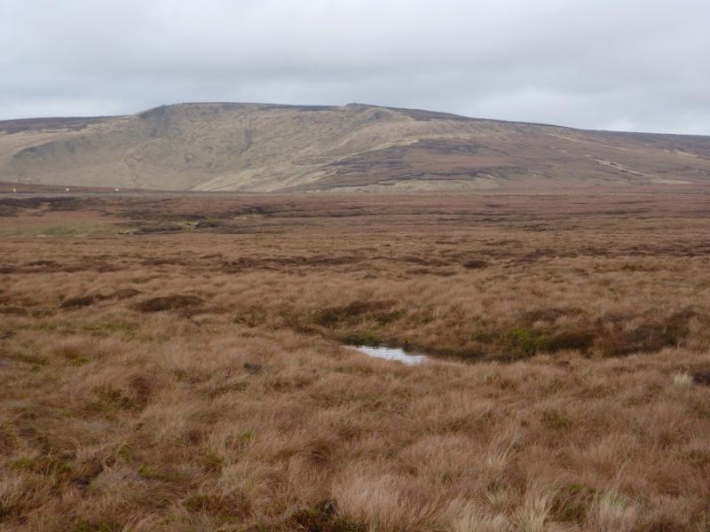
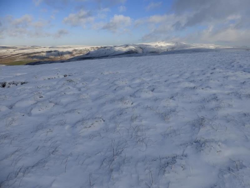
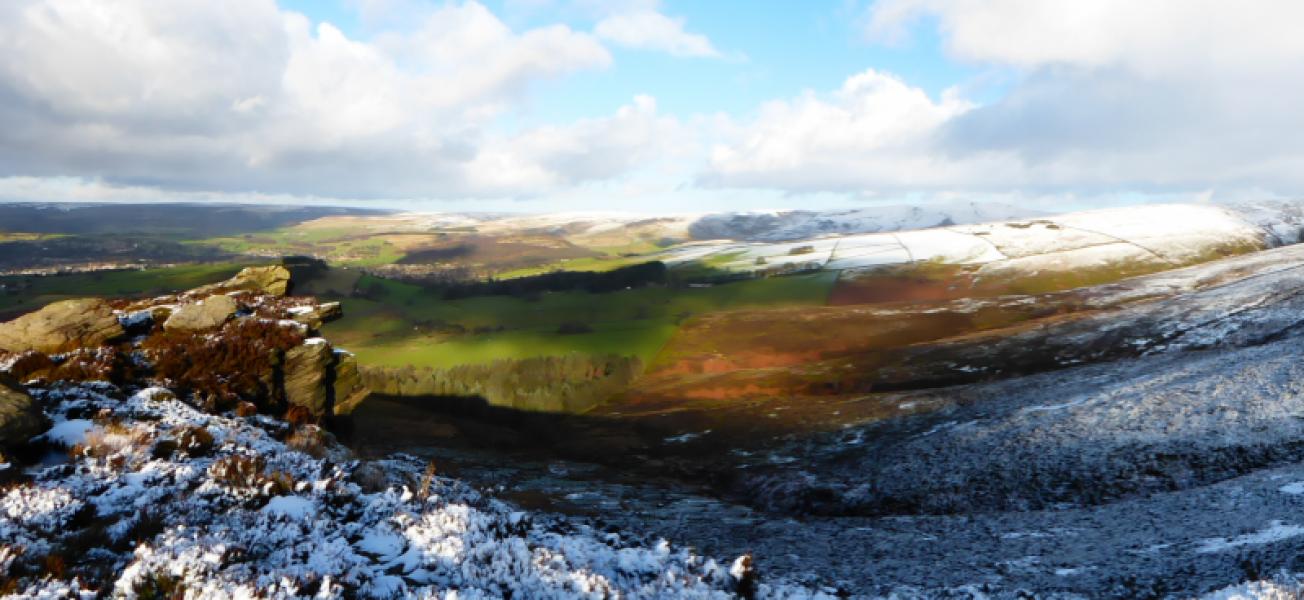
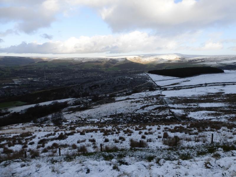
This is a fine walk in the Dark Peak which, in good weather has good views of the surrounding countryside including Black Hill, the Howden Edge, Kinder and Win Hill. Some of the going is boggy, even in a dry spell, and gaiters are recommended. This walk can easily be accomplished on a short winter's day. It is recommended when the ground is frozen as that makes it less boggy! Because of the nature of the terrain, this walk is best undertaken in clear weather.
Route
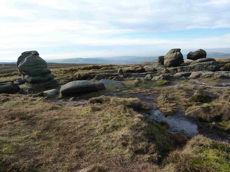
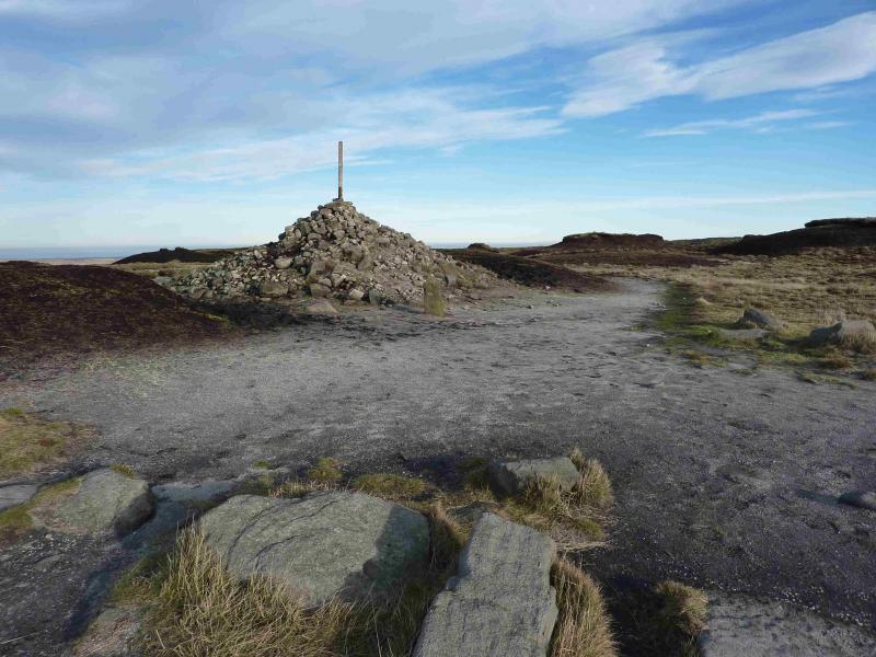
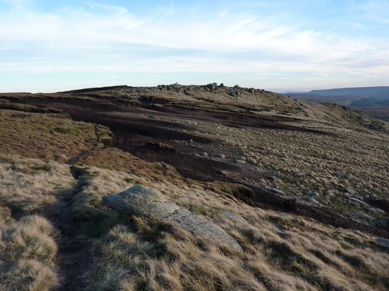
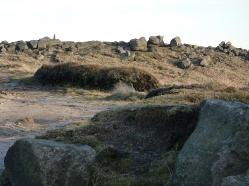
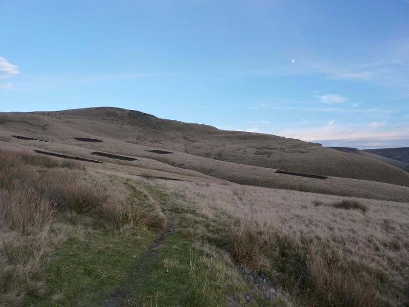
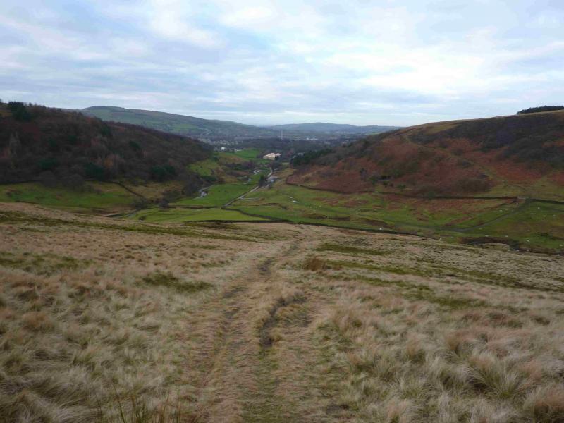
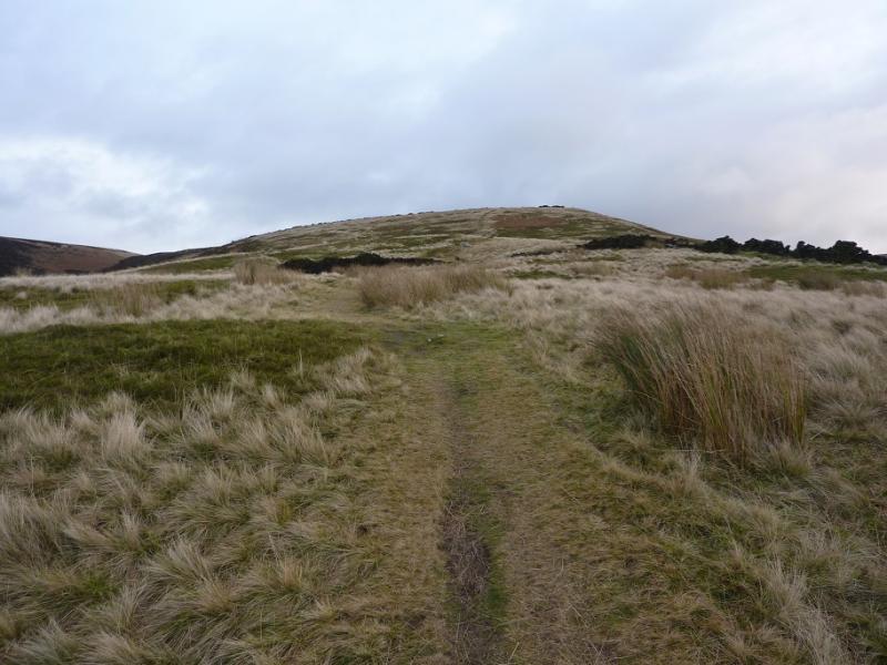
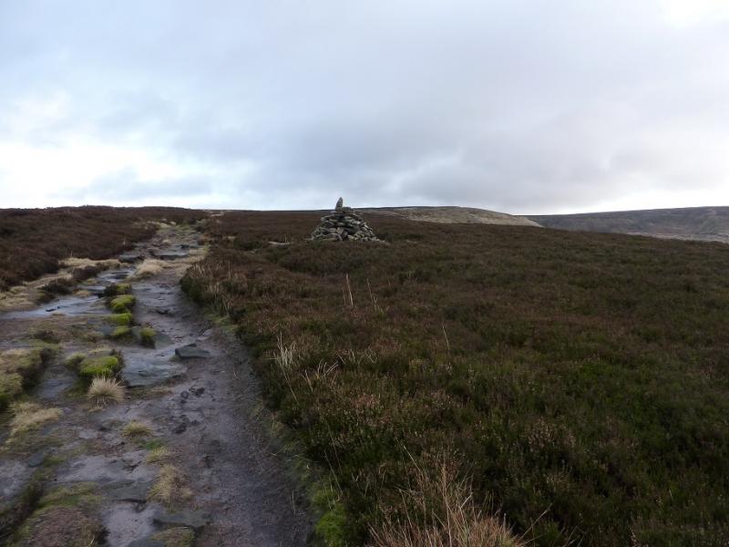
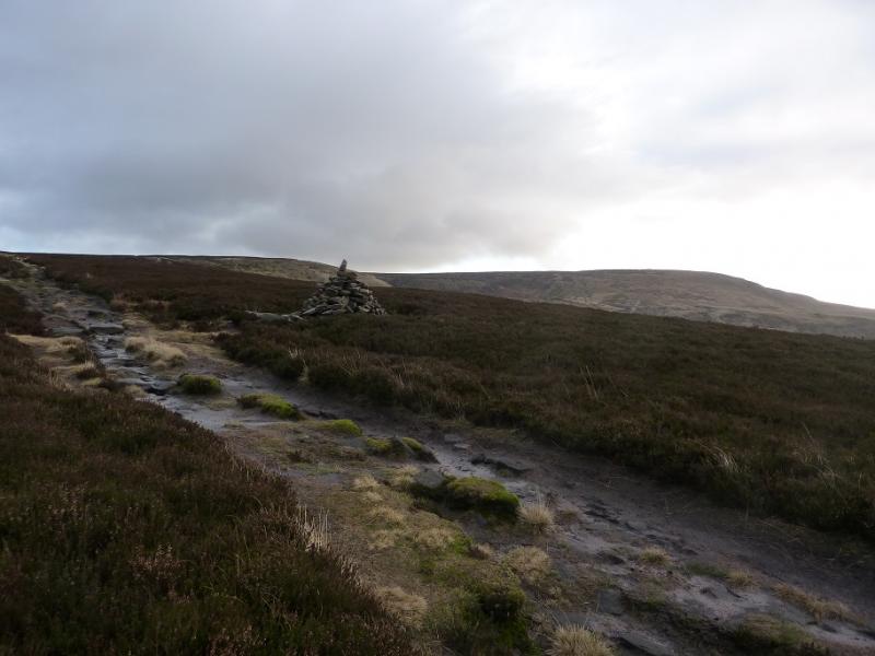
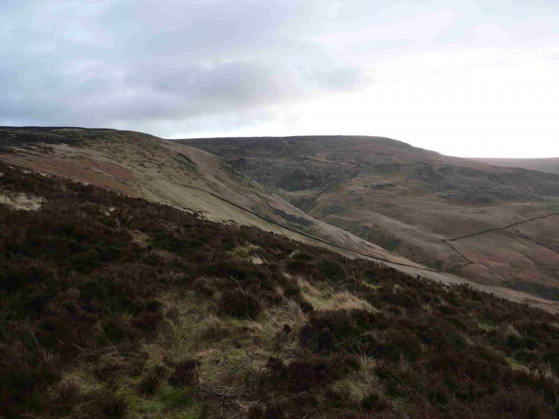
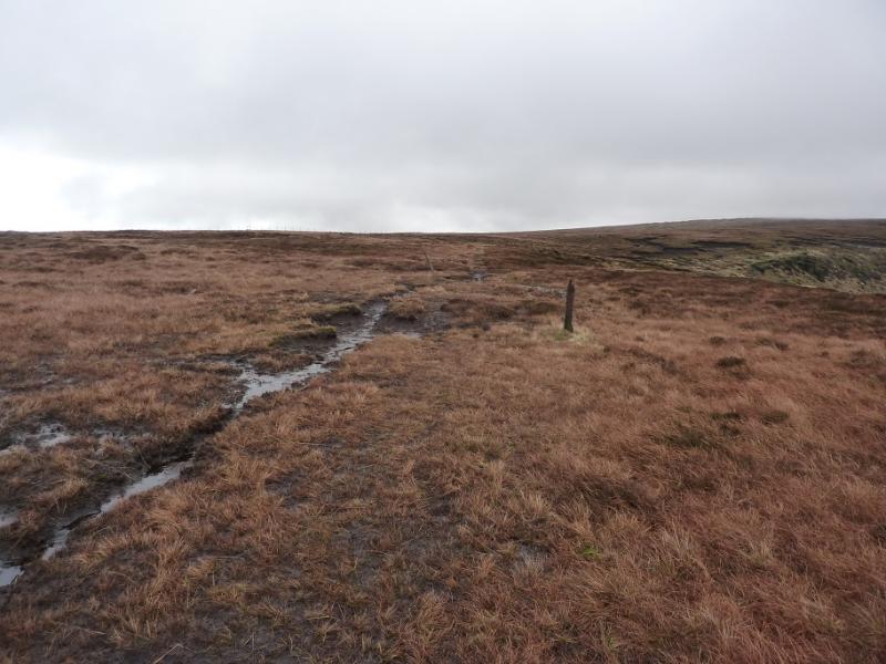
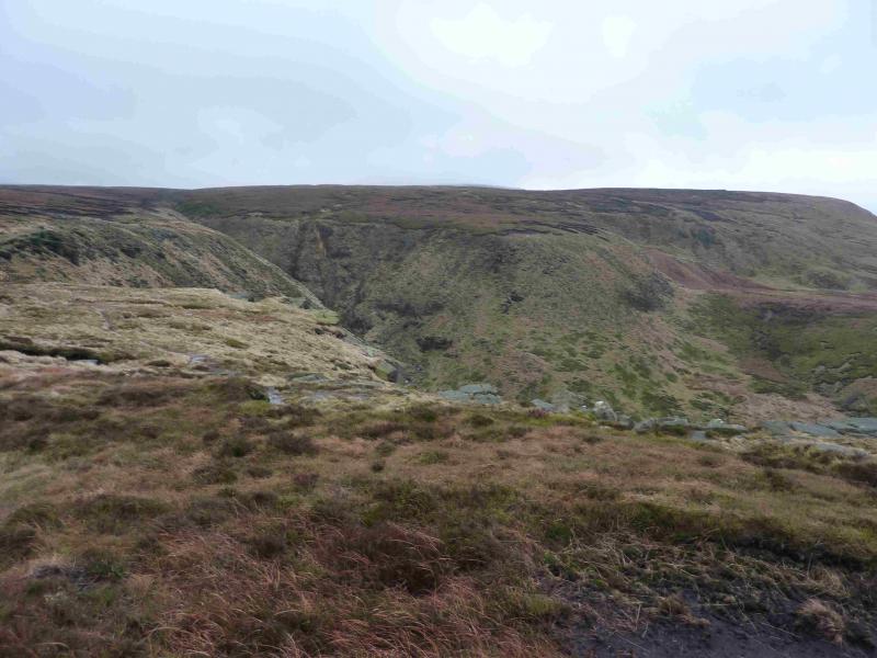
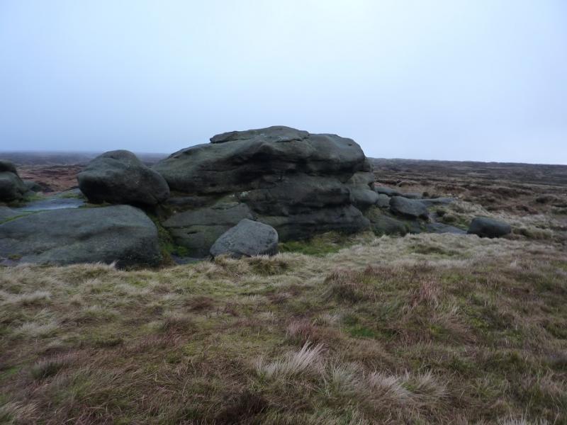
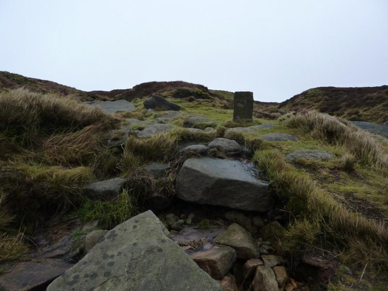
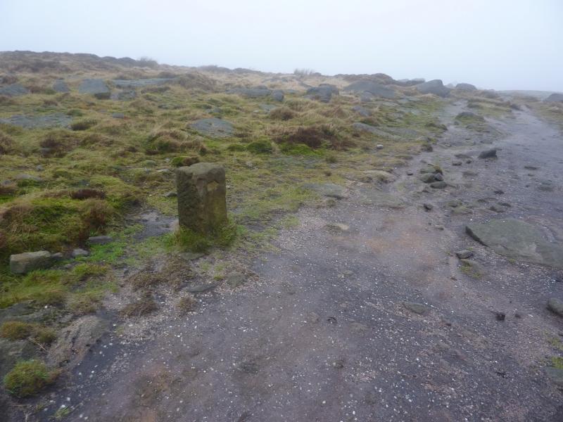
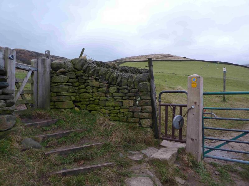
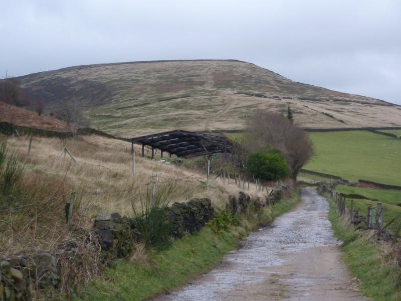
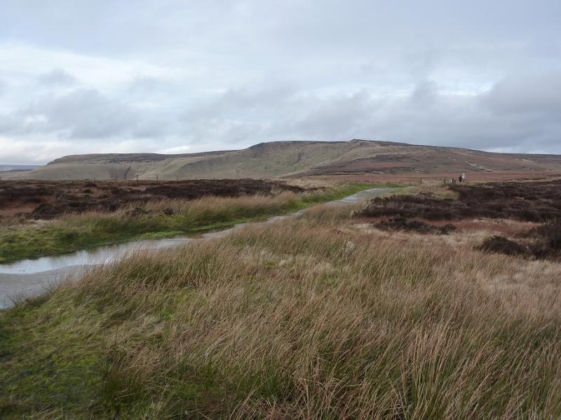
(1) Walk up the track alongside Shelf Brook which is the continuation of Shepley Street beyond the turning circle. After about 800 m and just after crossing the bottom of Small Clough ( the bottom of Small Clough is named as Shittern Clough on 1 : 25 000 maps), there is a gate across the track with a small gate to the left. Go through the small gate and follow the path up between a stone wall and a barbed wire fence. This “confinement” is short lived and one is soon out on open land. Continue up the Yellow Slacks ridge on the obvious path. A large cairn is passed and the path converges on the edge of Dowstone Clough which is impressively deep and rocky. Continue on the path which is still quite distinctive even after it levels out at the top of Dowstone Clough. Eventually, the path becomes difficult to follow about where the stream takes a right turn. Go straight on, with bits and pieces of a path, to reach the Hern Stones. This is the only outcrop between Bleaklow Head and Higher Shelf Stones and stands on a small mound. From here, walk almost due N, faint boggy path, to soon meet the Pennine Way which can be followed to a large cairn, with a stake in it, which marks the summit of Bleaklow Head, 633 m. A stone marker post is passed just before the cairn and there is another at the cairn for those following the Pennine Way down to Torside Clough but that is not part of this route. If thick weather makes the Hern Stones difficult to locate then one can walk due E from where the path fades away which should lead to intersecting with the Pennine Way which can then be followed N to Bleaklow Head.
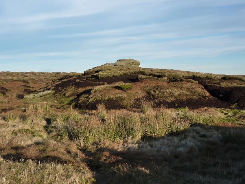
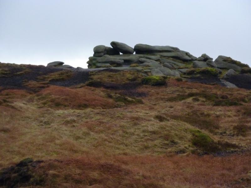
(2) Retrace from Bleaklow Head cairn to the Hern Stones. If the direct path was not found when walking from the Hern Stones to Bleaklow Head, it is a little more obvious in the reverse direction, leaving the Pennine Way just after the stone marker post. From the Hern Stones, another path heads roughly SW towards Higher Shelf Stones. There are several paths, one of which is clearly the major route. Follow this up to the Trig Point which marks the summit of Higher Shelf Stones, 621 m.
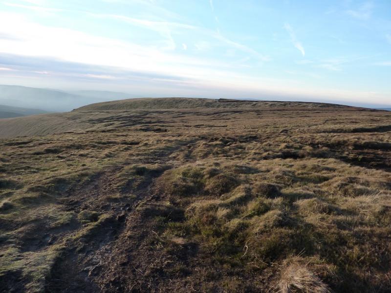
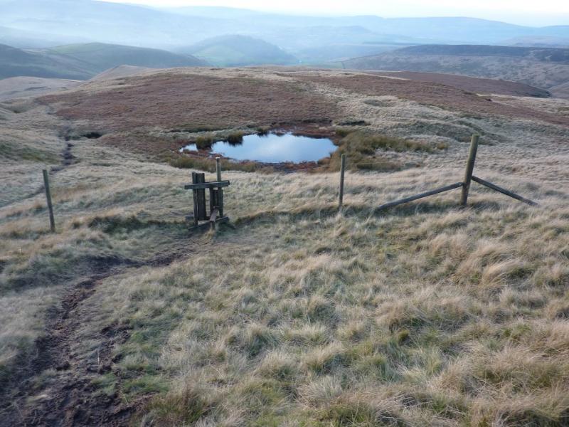
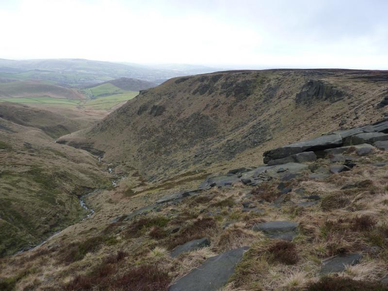
(3) Continue along the crest on a fairly obvious path which soon starts crossing open moorland although it is not as boggy as earlier. The path crosses a dip then ascends to a small flat topped mound. Just after this the path descends then splits. Take the left fork and follow it all the way down, crossing a stile above a moorland pool, before reaching a good track lower down. Follow this down with the stream on your left. At a path junction lower down, follow the bridle path on the same side of the stream which eventually leads to a large turning circle where it meets the roads of Old Glossop. Turn right and the road leads to Howard Town brewery.
Notes
(a) This walk took place on 8th January, 2014.
(b) It is possible to also include Bleaklow Stones but will add about 5 km of walking and about 90 minutes. The route has to be retraced back to Bleaklow Head but Bleaklow Stones is a far more interesting area than Bleaklow Head. Details of this detour are:
The continuation to Bleaklow Stones is not obvious even in clear weather. Walk roughly E. There is a path but it is not very obvious. Later on some very widely spaced posts appear and these are a good guide as a good path is close to them. If you are off path then expect a lot of boggy up and down. After about 2 km, a mound should be visible ahead. As you get closer, it will look to have some outcrops. Once reached, there is very distinctive rock which resembles an anvil. This area is Bleaklow Stones, c620 m. There is no summit cairn but plenty of rocks with interesting shapes.
Photos - Hover over photo for caption. Click on to enlarge. Click on again to reduce.