Get Lost Mountaineering
You are here: Scotland » 10b Loch Eil to Glen Shiel » Loch Lochy to Loch Quoich & Glen Dessary
Sgurr Choinnich & Meall Blair
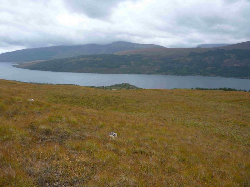
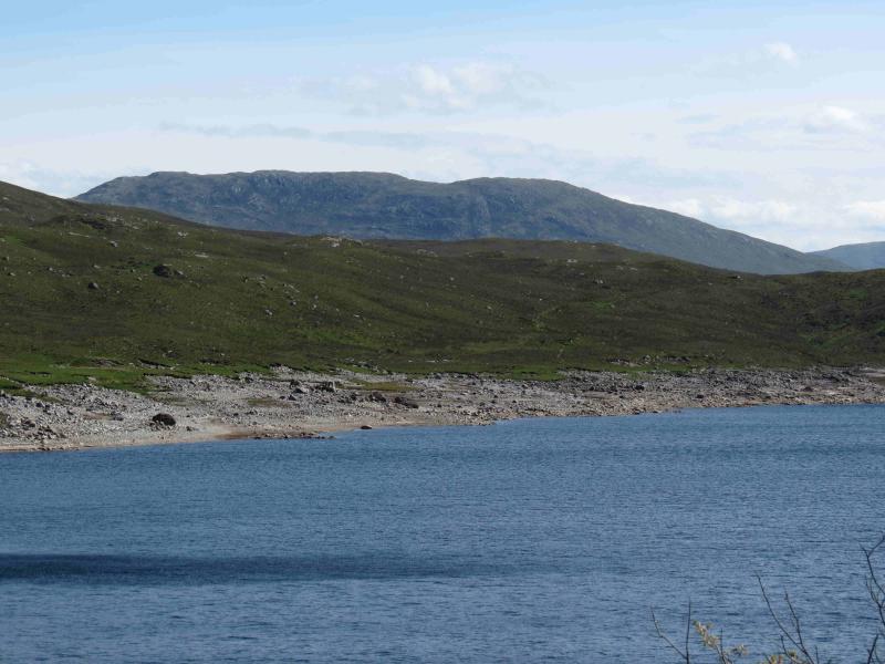
Sgurr Choinnich & Meall Blair from Allt Mhuic Butterfly Reserve
Start/Finish
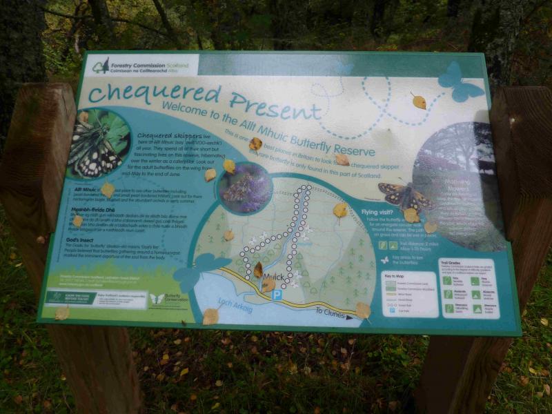
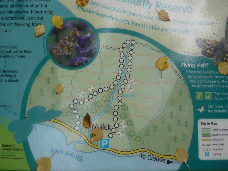
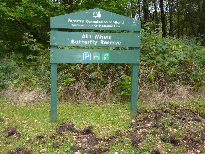
Car park at the Allt Mhuic Butterfly Reserve which is about 4 miles from the east end of Loch Arkaig. The reserve is also signed about a mile before. The route to Loch Arkaig goes through Gairlochy which is usually reached by turning off the A82 about a mile north of Spean Bridge by the Commando Memorial.
Distance/Time
16 km. About 7 hours.
Peaks
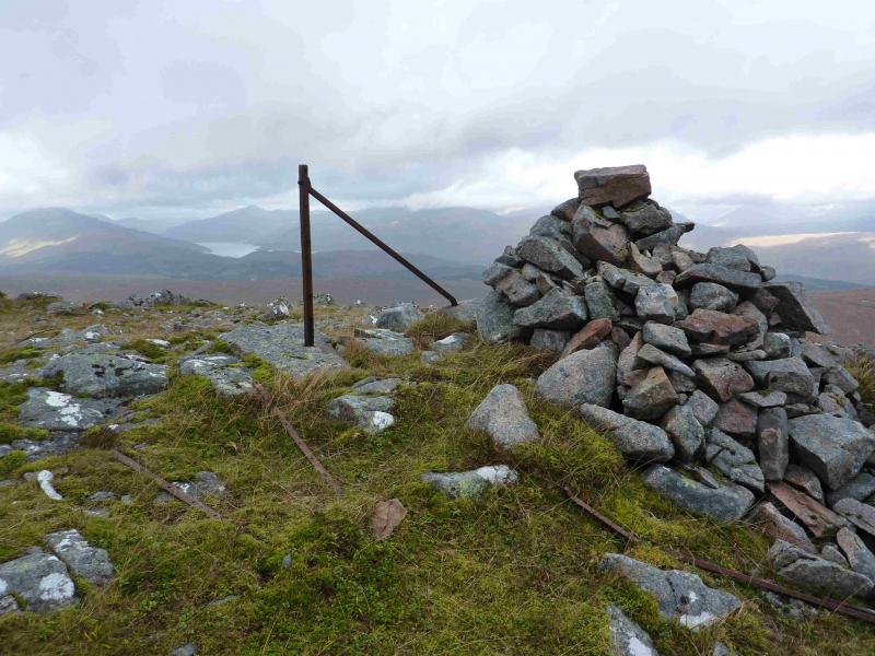
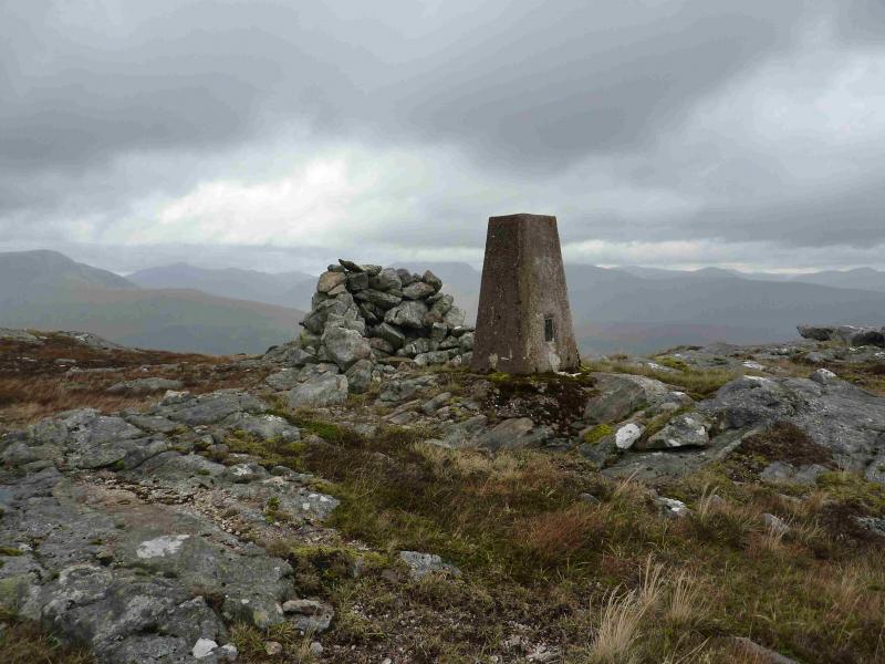
Sgurr Choinnich, 749 m, NN 127 949.
Meall Blair, 656 m, NN 077 950. OS sheets 33 & 34.
Introduction
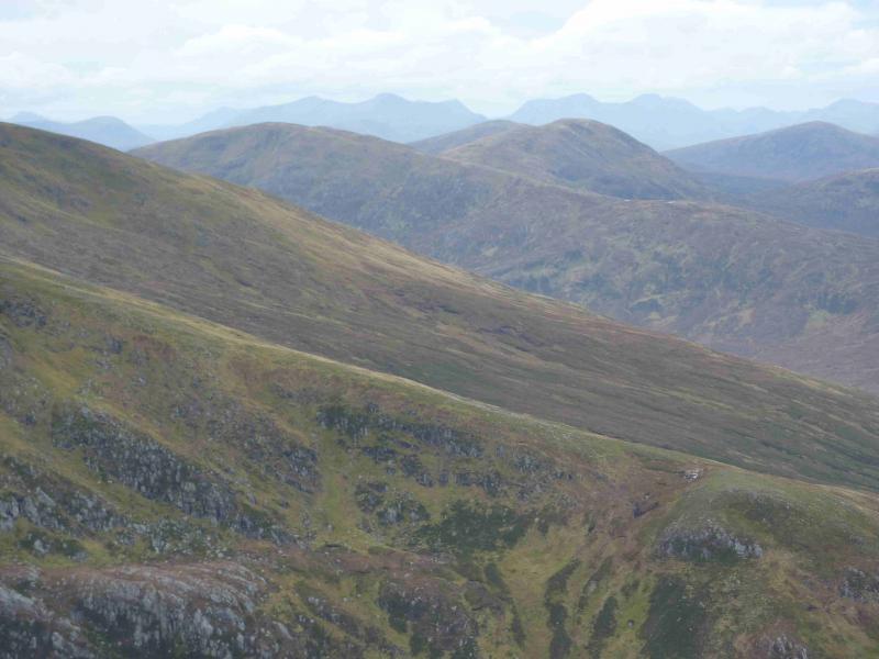
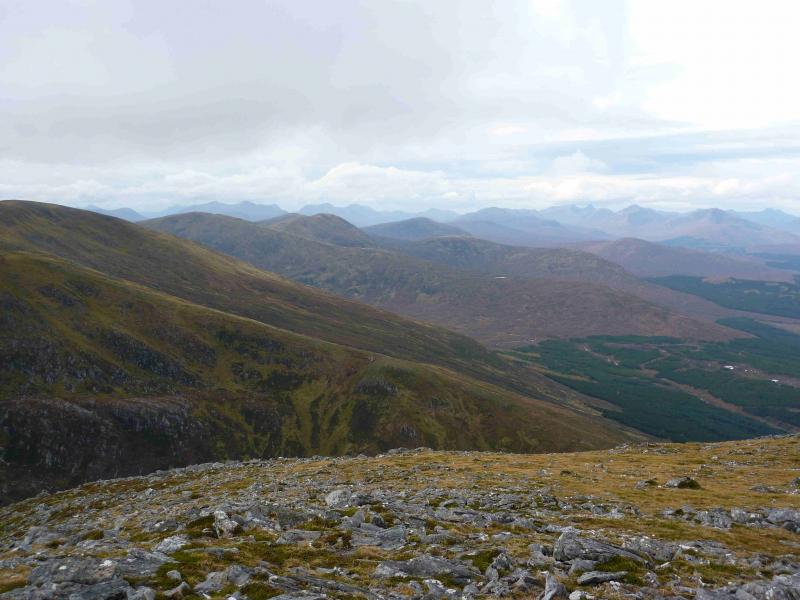
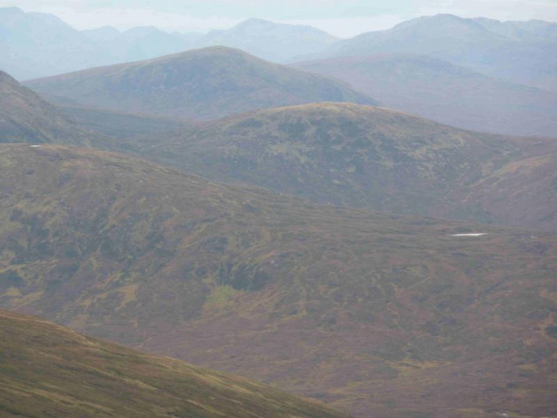
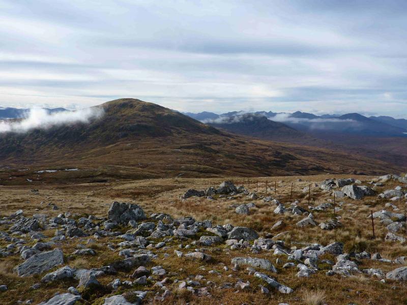
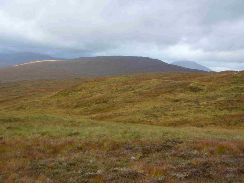
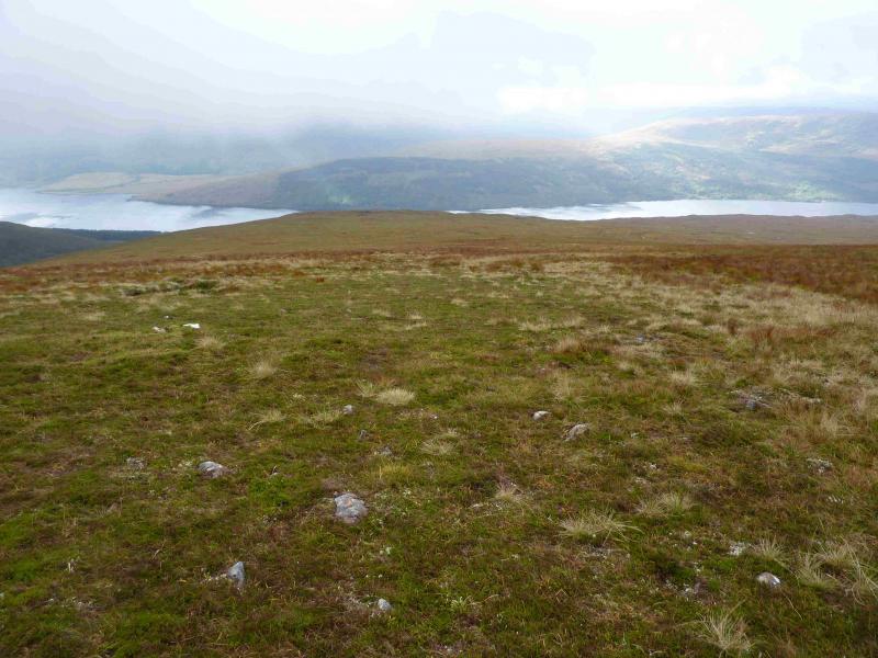
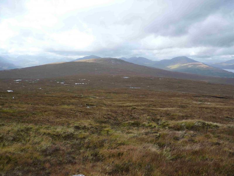
This is a relatively straight forward route although the ground can be a little rough and boggy on the ascent of Sgurr Choinnich. Use is made of the Butterfly Reserve path then an ATV track takes one almost to the summit of Sgurr Choinnich. Much of the rest of the route is pathless but on reasonable ground. On a clear day, Sgurr Choinnich is a good viewpoint for the Loch Lochy Munros, the Gleann Cia-aig Corbetts not to mention the Munros at the far end of Loch Arkaig. Meall Blair offers excellent views west including Gairich, Sgurr Mor, Sgurr an Fhuarain and many more. Many people ascend these two hills on separate days but they are easily combined into a single route which also offers better views of Meall Blair. It is best to save this walk for a clear day to enjoy the fine views. Unfortunately, this walk requires two OS maps.
Route
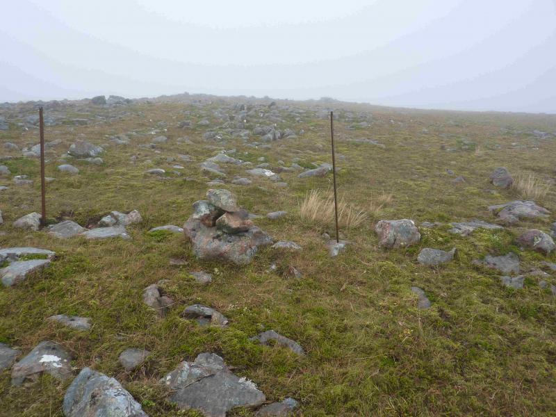
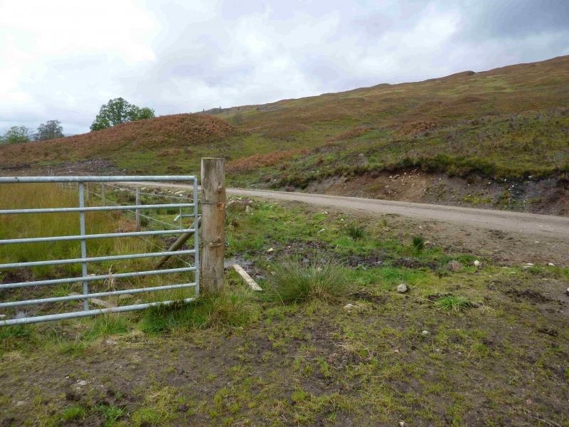
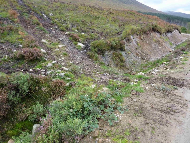
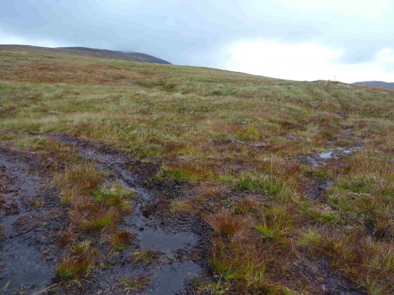
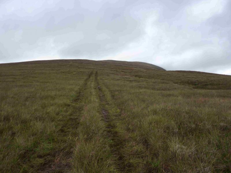
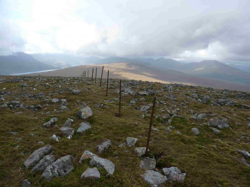
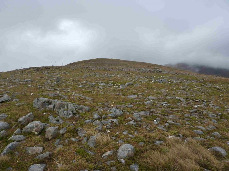
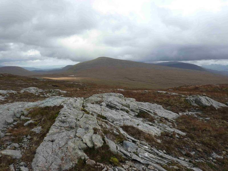
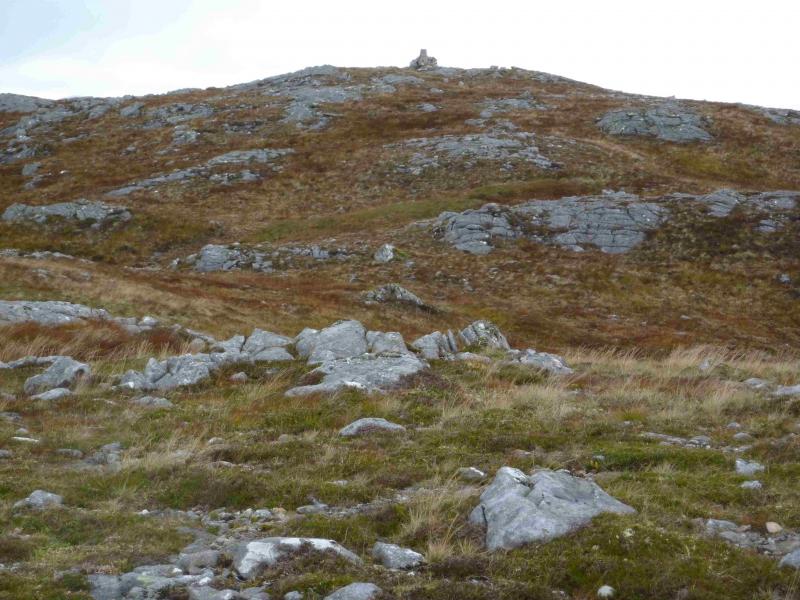
(1) From the car park, walk up the path to reach the forestry track. Turn left on to the track. Pass the gate which returns one on the path on the W side of the Allt Mhuic. Soon after is a wider gate. About 10 m further, on the right, is an ATV track which ascends the S flank of Sgurr Choinnich. The track is boggy in places. It soon leads to a high locked gate and deer fence which has to be climbed over. Continue on the track which is easily followed until it reaches close cropped heather where it becomes much fainter. In clear weather, there is no problem. In mist, continue up the now reasonably well defined, but broad, ridge. A line of fence posts comes in from the left and there is a small cairn. Follow the fence across a shallow dip to reach a medium cairn which marks the summit of Sgurr Choinnich, 749 m.
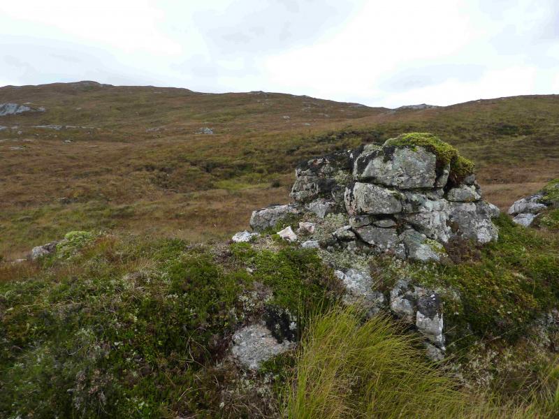
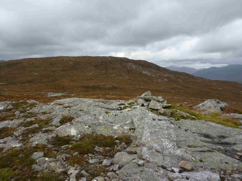
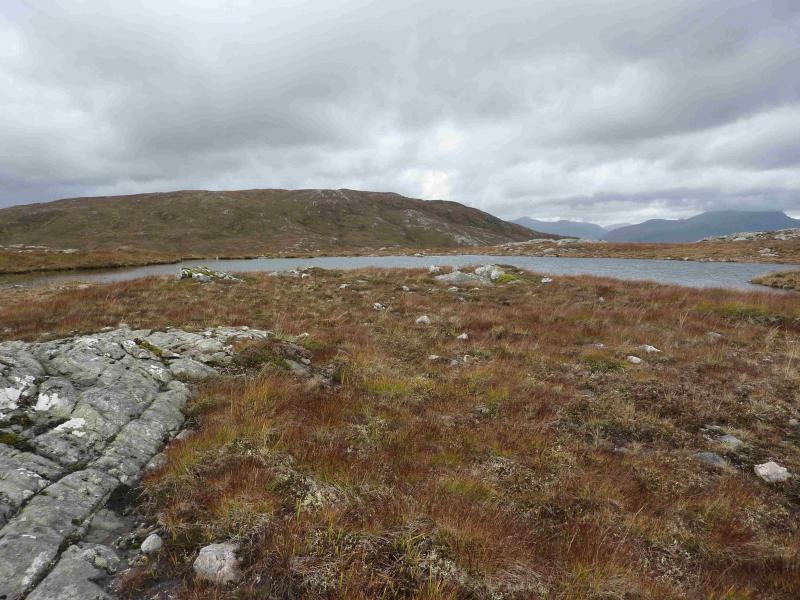
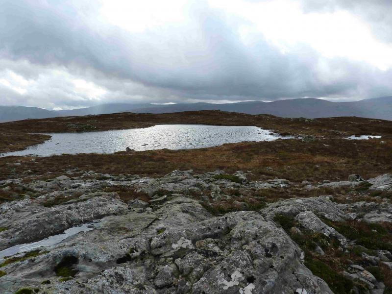
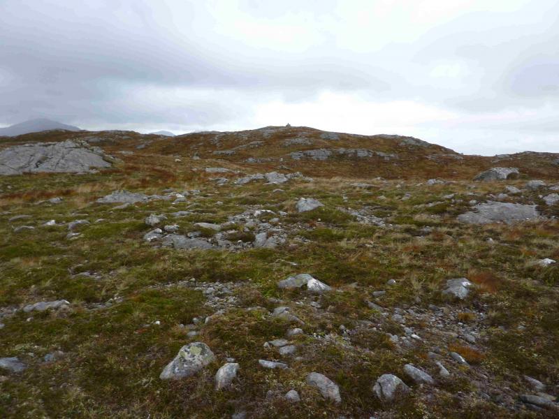
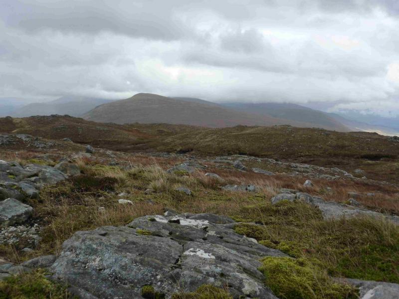
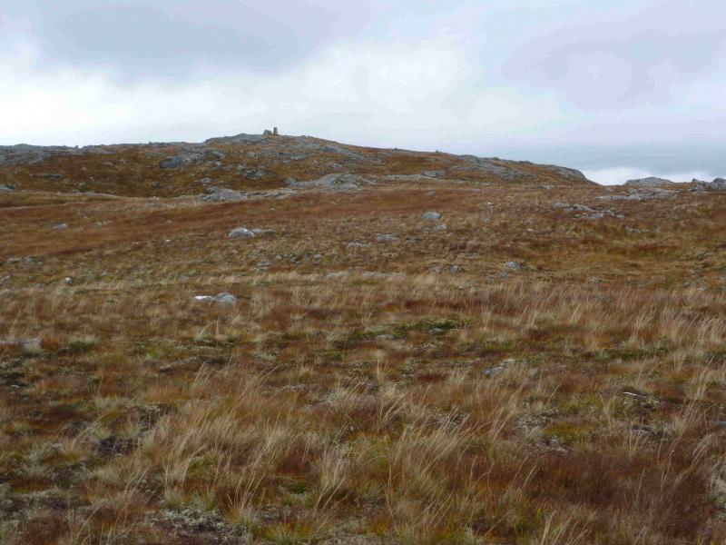
(2) Retrace following the fence posts which soon turn W and can be followed down pathless but easy slopes. When the ground levels out, the fence posts start to swing more to the NW so leave them and continue W, passing some small lochans. In thick mist, it may be confusing from here. It is worth ascending Meall Lochan nan Dubh Lochan whose summit area contains scattered slabby rock and a sizeable lochan (hence the name). The tiny cairn is at about NN 089 946. From the cairn, head WNW, descending slightly and passing Lochan na Beinne Baine on its N side. Ascend moderately steep, but easy, grassy slopes to soon reach the trig point with a short wall on its W side which marks the summit of Meall Blair, 656 m. The summit is set back from the rocky area on its E side.
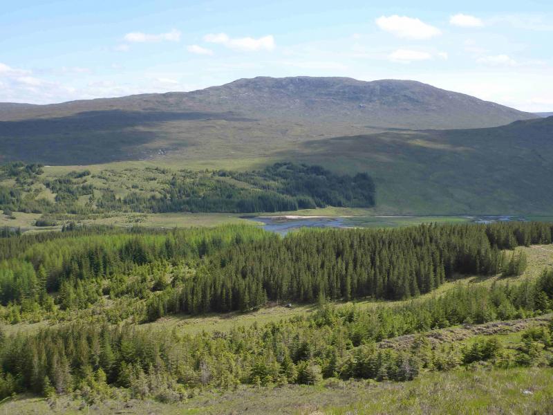
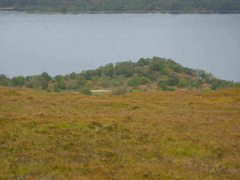
(3) Descend SSE on gently sloping ground. A cairn should be passed which is visible from the summit but there is no path. Continue in the same general direction. You are initially aiming for the corner of the plantation at NN 096 920. Several burns will be crossed. One zig zags through a small quartzite “gorge”. As the plantation becomes visible, walk more to the SE and aim for the small headland on Loch Arkaig called Rubha Cheanna Mhuir at about NN 101 912. The forestry track should be visible above this. Resist the temptation to head straight down to the track as the ground becomes rougher but continue SE/E as there is an ATV track which will guide one down to the track not far E of the plantation. Walk E along the track for about 2 km until the path down through the Butterfly Reserve is reached.
Notes
(a) This walk took place on 6th October, 2013.
(b) Sgurr Choinnich, alone was ascended on 4th October, 2013 and by a similar route on 28th May, 2001. This route is described separately.
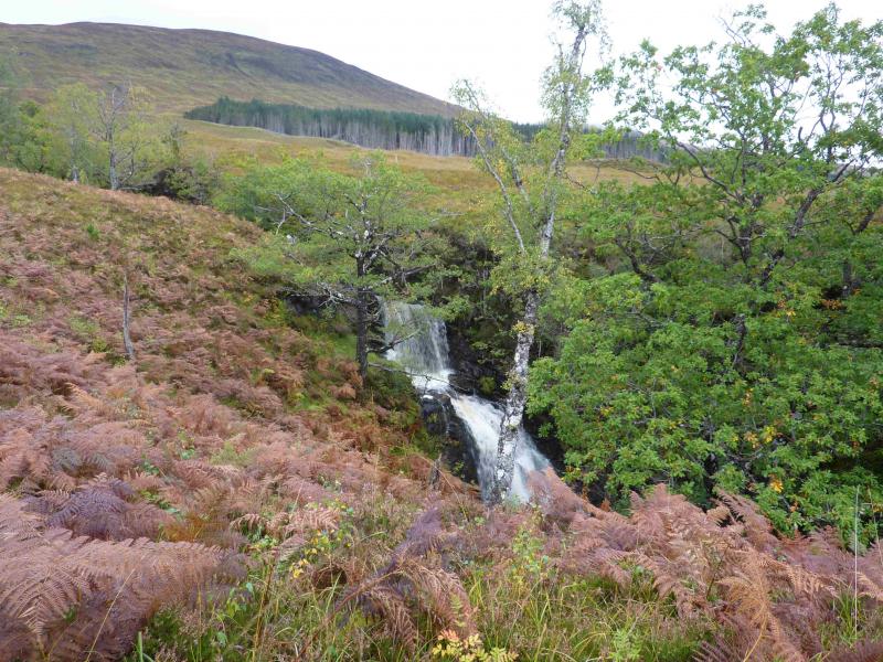
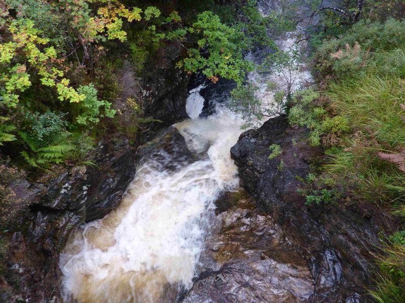
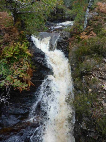
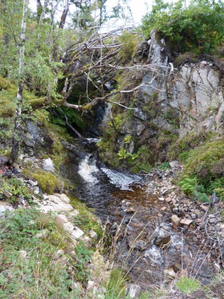
(c) An alternative route to the path on the E side of the Allt Mhuic is to walk up the public road for about 60 m until about opposite Site 10 where the return path to the Butterfly Reserve meets the road. This can be followed to the forestry road where one turns left to the wider gate and ATV track. The advantage of this variation is that one gets a good view of the impressive Allt Mhuic waterfall.
Photos - Hover over photo for caption. Click on to enlarge. Click on again to reduce.