Get Lost Mountaineering
You are here: Scotland » 01 South of Oban to Stirling and Fife » Loch Earn to Loch Tay
Creag Each & Creag Ruadh
Creag Each & Creag Ruadh from Woodhouse on A85 Loch Earn
Start/Finish
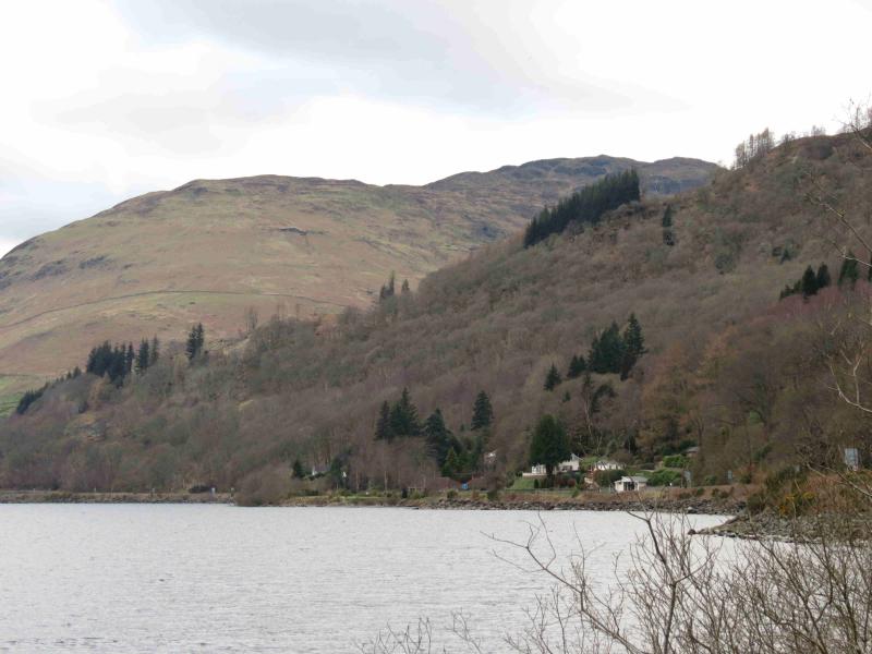
Park at Woodhouse (shown on map) which is on the A85 on the N side of Loch Earn about 2 km W of St. Fillans. Woodhouse is on the opposite side of the road to the obvious Loch Earn Sailing Club site where there are numerous boats and mobile homes. There are parking lay bys on both sides of the road. At Woodhouse is a a large new barn and a white cottage.
Distance/Time
15 km About 6 - 7 hours
Peaks
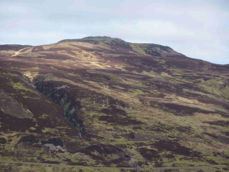
Creag Each, 672 m, NN 652 263.
Creag Ruadh, 712 m, NN 674 292. OS sheet 51.
Introduction
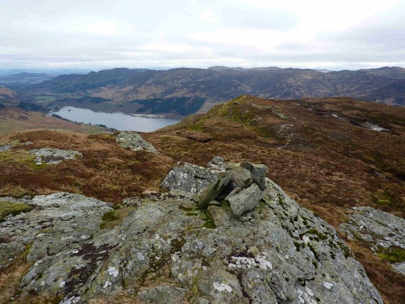
This walk gives good views in all directions including Ben Vorlich and Stuc a' Chroin, The Tarmachan Ridge, Ben Lawers and Ben Chonzie. The ground, when off track, is usually very easy to walk on these hills with there being many distinct animal tracks. The OS map is confusing over the height of Creag Ruadh. Instead of giving the spot height of the summit, a nearby, and much lower spot height of 628 m, is given. Close examination of the contours shows the summit to be over 710 m.
Route
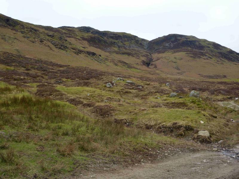
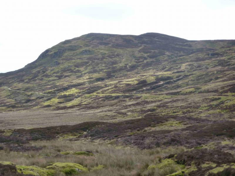
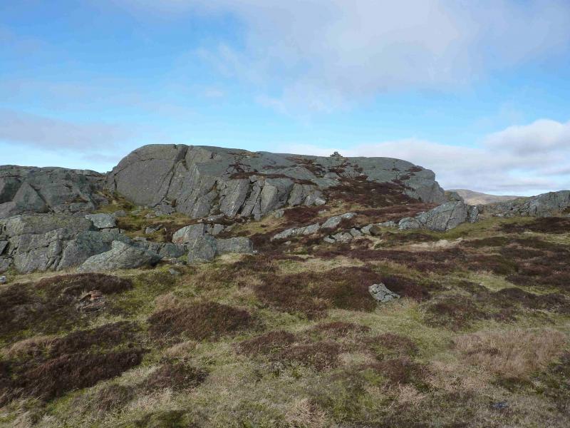
(1) Between the two car parks, an obvious track goes up hill. On 13/3/12, this was signed “Public Footpath”. Within 100 m, it passes through a short boggy cattle feeding area then crosses the old railway before climbing towards some old cottages. Continue on the main track through two gates with some animal enclosures by the second gate. The prominent peak ahead which seems to have a cairn on it is not the actual summit which is the next peak to the left, W. Leave the track at this point and climb up hill on the right of a fence. The fence ends where it meets another fence running N to S. Continue ahead on open grassy ground and climb to the crest which leads almost due N to the summit which is surrounded by small craggy outcrops which are easily avoided. A good path appears for the final approach which leads to the highest of the craggy outcrops on which there is now a small cairn which marks the summit of Creag Each, 672 m.
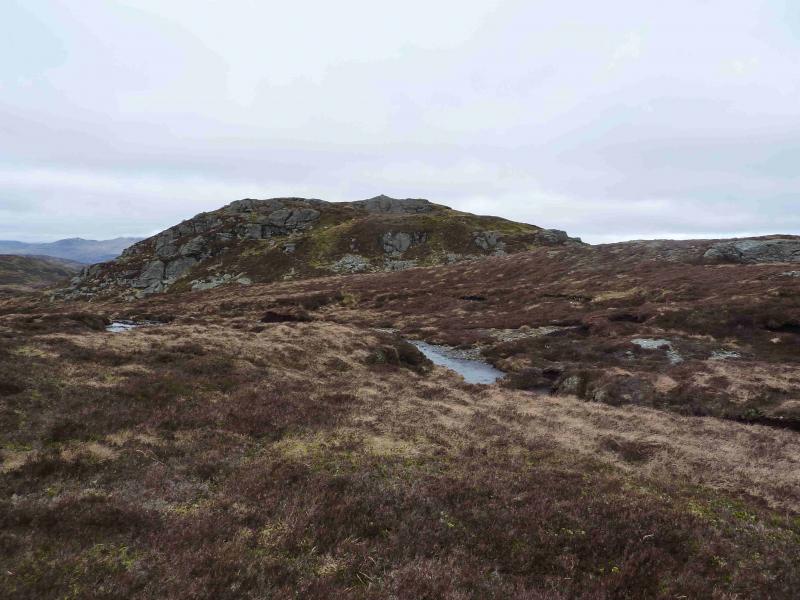
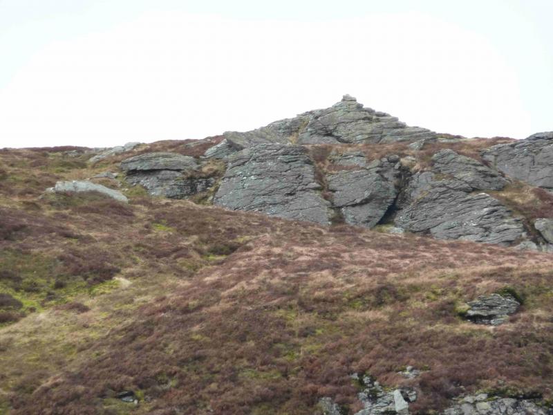
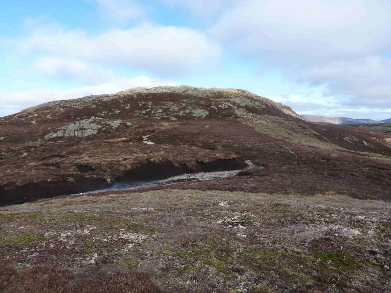
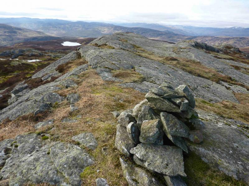
(2) Descend slightly E of N following a gentle ridge which meets the track about 200 m NW of where the track splits. In thick weather, this point is easily reached by walking due N to meet the burn which flows down to the track. Cross the track, still following the burn, to reach the lower track and follow it around the head of Glen Tarken where there are several water intake points which may explain the dry nature of the glen. When the track turns SE follow it for about 1.5 km, past an old quarry on the left, to reach the bridge over the burn which is tumbles out of the gorge. This is easily recognisable as the burn tumbles over a rough rock wall just above the bridge over the burn. The bridge also has iron girders either side of the track. Just past the bridge, a path slants up hill. Follow this roughly NE. The path is faint in places and may be lost but the open ground is easy to walk on. As height is gained, a reasonably well defined broad ridge develops and this leads NE to the summit area which is surrounded by crags and short rock walls – all easily avoidable. On the highest crag, which is probably the first one reached, is a small cairn which marks the summit of Creag Ruadh, 712 m. The cairn sits on a large sloping slab and another part of it may be higher. There are three other tops, all without cairns, nearby and the summit area could be quite confusing in mist.
(3) Descending due S is on steep grass and leads into a boggy area so retrace SW initially, on a good path, then head S when the slopes become more gentle in that direction. If the faint path is found, it meets the track at a wooden fence post. From here there are two choices. The first alternative is to walk left, SE, along the track until the track cutting across the glen to the outward track is reached. Be careful not to take an earlier rougher track which soon stops at a water intake point. The track fords the Tarken Burn which might be difficult to cross after heavy rain although there are many large stones in the burn. The second alternative is to cut across the open ground in the middle of Glen Tarken to reach the outward track. This may involve crossing a low fence. The Tarken Burn is also crossed but much higher up the glen so is less likely to pose a problem. The second alternative is shorter and quicker. Once on the outward track, walk back to the start.
Notes
(a) This walk took place on 14th February, 2009 and 13th March, 2012.
Photos - Hover over photo for caption. Click on to enlarge. Click on again to reduce.