Get Lost Mountaineering
You are here: Scotland » 01 South of Oban to Stirling and Fife » Loch Earn to Stirling
Beinn Dearg & Mor Bheinn
Beinn Dearg, Mor Bheinn & Ben Halton from Glen Artney Church
Start/Finish
Car park opposite Glen Artney Church. Glen Artney is a minor road off the B827 Comrie to Braco road.
Distance/Time
18 km About 8 hours
Peaks
Beinn Dearg SW, 706 m, NN 684 190. See note in introduction below.
Beinn Dearg NE, 706 m, NN 696 197.
Mor Bheinn, 640 m, NN 716 211.
Ben Halton, 621 m, NN 720 203. OS sheet 57.
Introduction
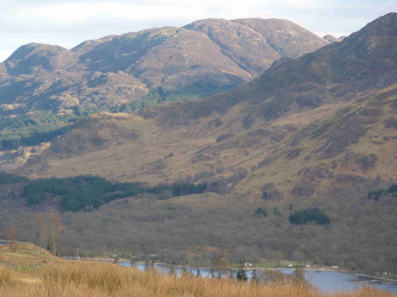
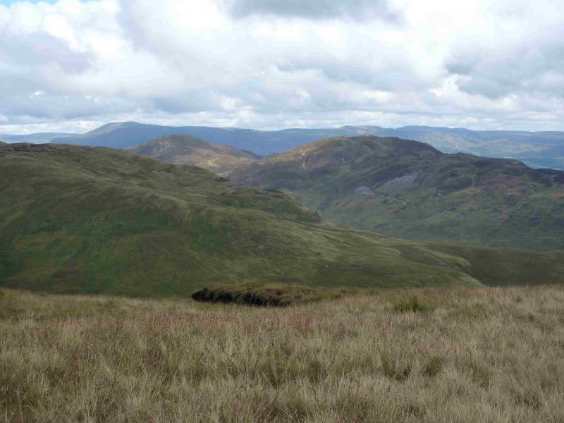
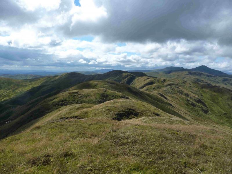
This is a tough walk over some rough terrain. The ridge of Beinn Dearg undulates considerably. Lots of grand views especially to Meall na Fearna, Ben Vorlich and Stuc a' Chroinn. Ben Chonzie and Uamh Bheag are well seen too. On the 1991 map, Beinn Dearg is shown as having two tops of identical height as listed above with only about 80 m drop between them so making it a twin Graham. Unless the OS have now decided that one is higher than the other then “Graham baggers” will need to visit both tops to get their “tick”. This walk includes both these tops. It is best to save this walk for a clear day as navigation could be very challenging in thick mist. UPDATE Surveys have now been completed showing Beinn Dearg SW to be higher than the NE top; it's new height is 708m and it seems to have been renamed to Creag na h-Eararuidh which is a name to the east of the summit shown on the Explorer map. This update does not change the nature of this walk as the NE top still has to be passed to continue to Mor Bheinn. However, if one was only attempting Creag na h-Eararuidh then there would be no need to continue to the NE top.
Route
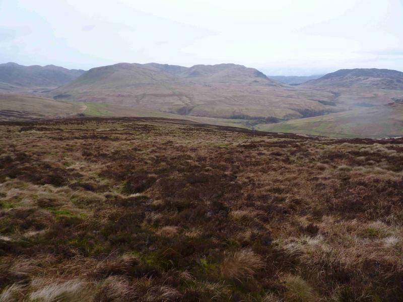
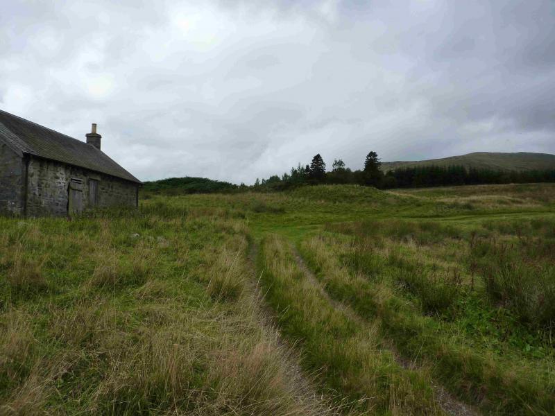
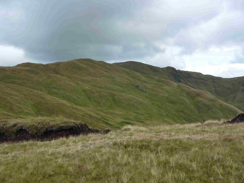
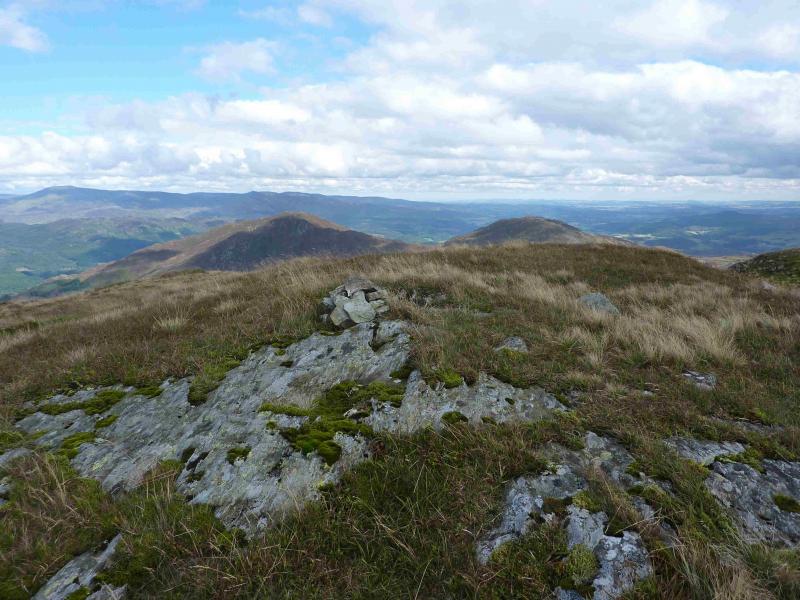
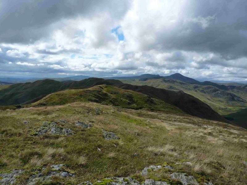
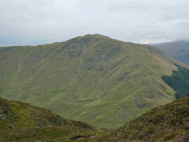
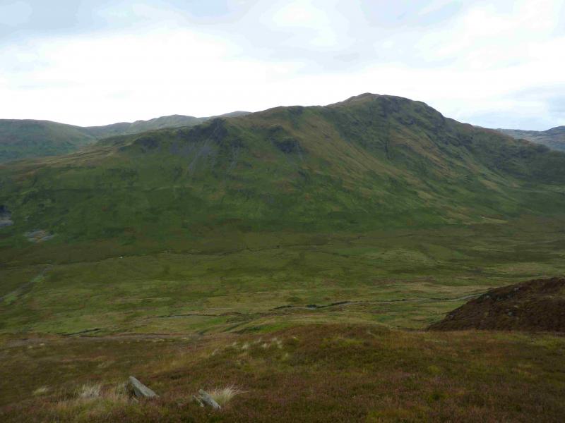
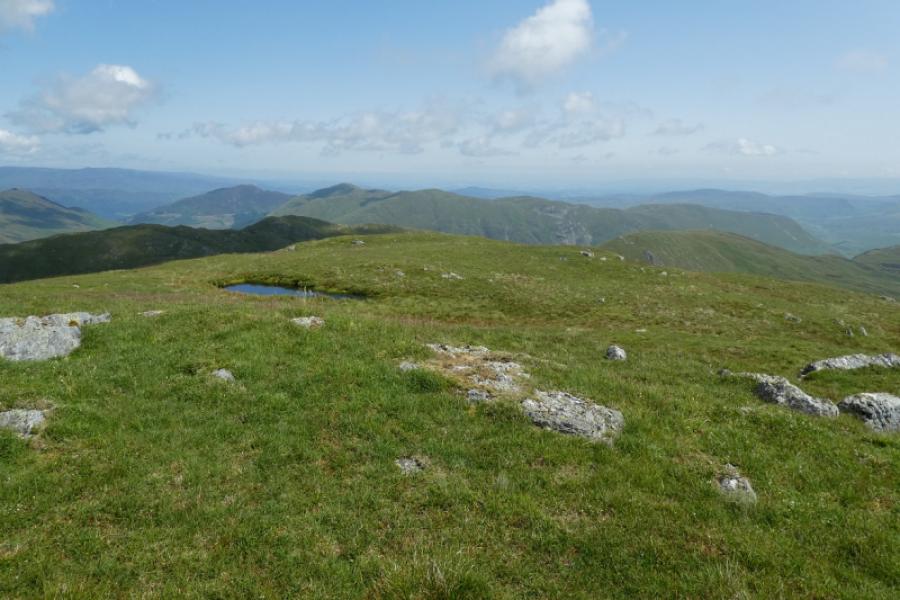
(1) From the car park, walk back, uphill, along the road. At the first building on the left, take the track towards Dalchruinn. Just before the barn on the left, the track goes through a gate and drops down to the Water of Ruchill which is crossed by an obvious bridge. Follow the track and take the second track on the left which leads to the sealed cottage of Dalclathick. Some ruins are nearby to the right. The track effectively runs out here but a grassy track may continue towards the obvious wood. Go around the wood on its right, N, side. After here, the going can be quite rough – the worst of the day. There is much long tussocky grass. Beware of “paths” being spotted ahead as they are merely drainage channels. Pick a way roughly W and aim to gain height as soon as possible to escape some of the long and awkward grass. Unfortunately, there are still patches of this grass higher up but, eventually, better ground will be reached. Gain the crest of Sron na Maoile then walk generally N over undulating ground. There seems to be a faint path but it can easily be lost so, if in doubt, stay on the crest. In clear weather the highest top is obvious but there is only a small rock with two smaller stones on it to mark the summit of Beinn Dearg SW, 706 m on a small plateau. This cairn could easily be missed.
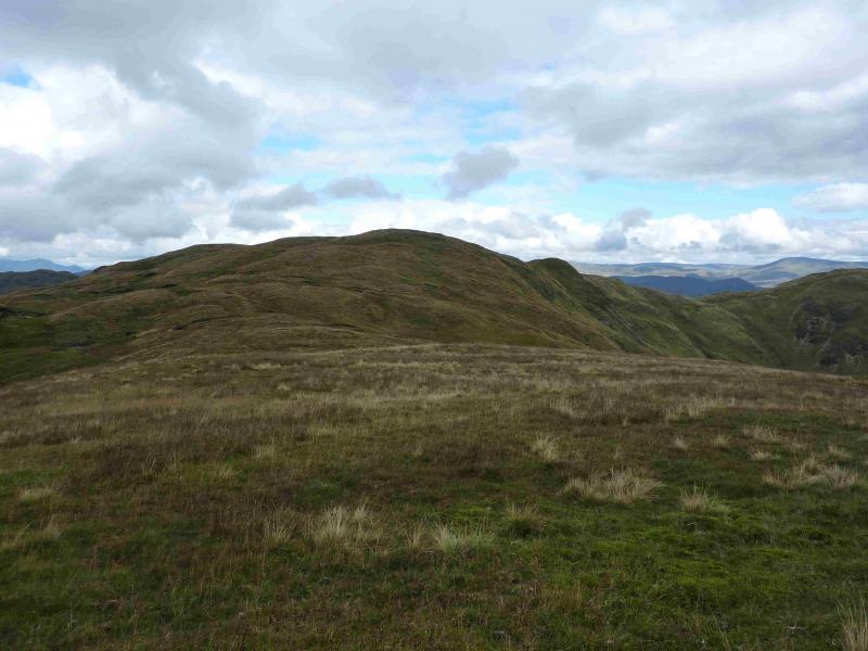
(2) Continue along the crest going NE then E down to a grassy bealach. Ascend E then NE over a succession of tops, one of which has a small cairn which marks the summit of Beinn Dearg NE, 706 m. This cairn is not much larger than the one on the SW top.
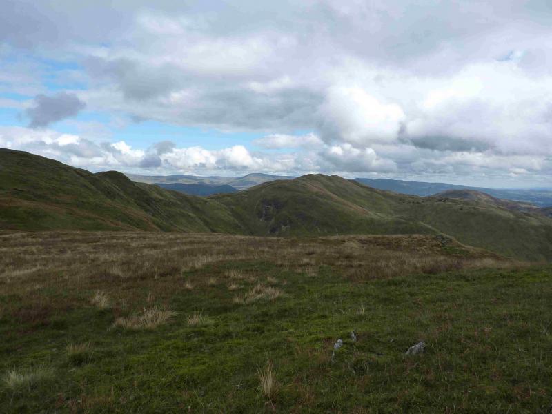
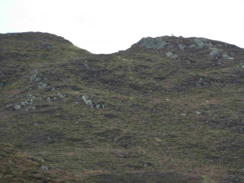
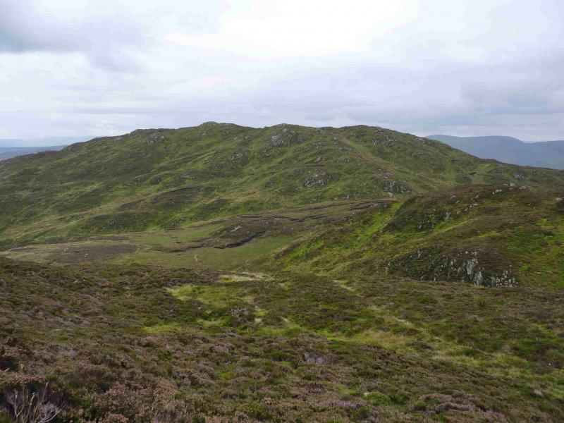
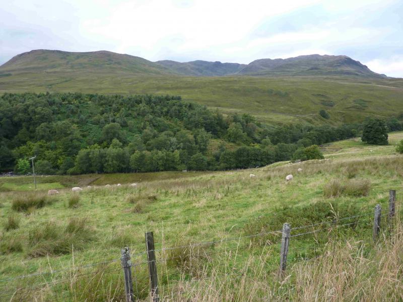
(3) Descend down the NE ridge, above the forest to the N. This ridge, which does not seem anything like as craggy as shown on the 1991 map, is quite well defined but very undulating and pathless. Lower down, aim for the right hand, S, edge of the plantation across the top of the glen. Cross the bealach, boggy in places, and cross the old deer fence (no stile). Ascend upwards, heading roughly E. In summer, it may be necessary to go further to the right, S, to avoid the worst of the ferns but come back N when through them. There is an old fence which leads up into the bealach between Mor Bheinn and Ben Halton from where the trig point of Mor Bheinn is visible in clear weather. From the bealach, head roughly N up a heathery ridge. There is a faint path to the right of the crest which becomes more distinct further on. If followed correctly, this will trend right then lead up to the shallow dip just to the W of the summit. There is a trig point on the rocky top which marks the summit of Mor Bheinn, 640 m.
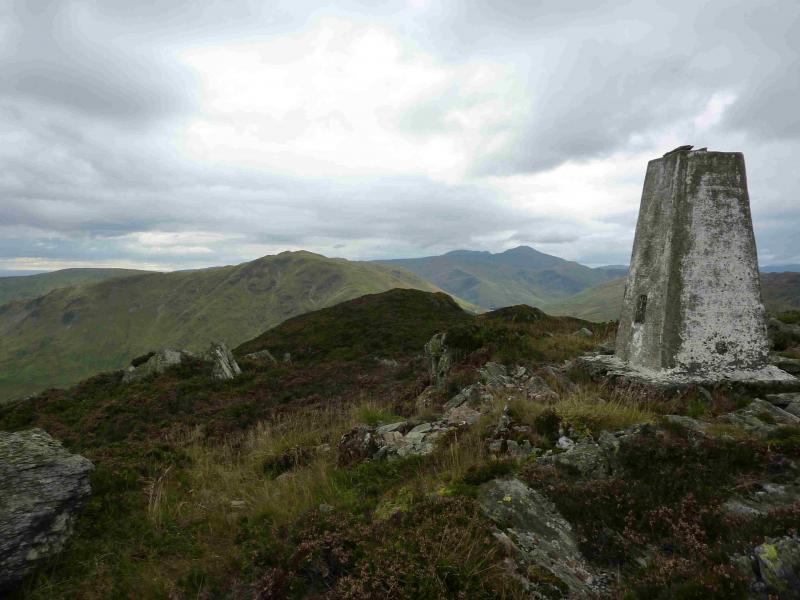
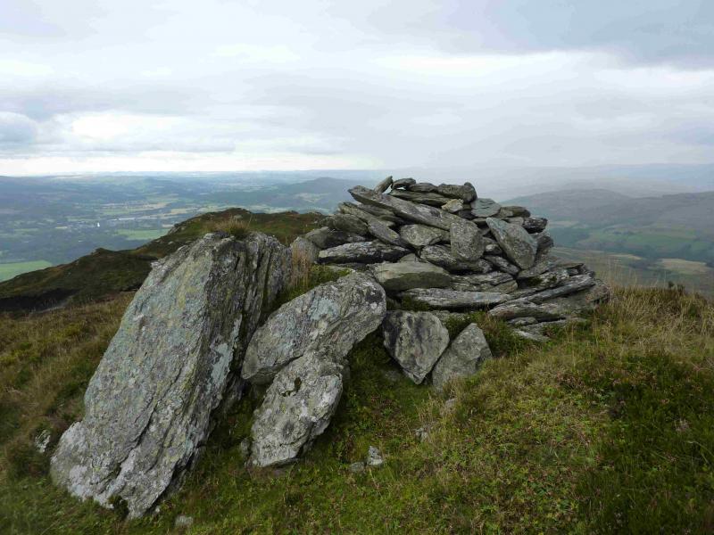
(4) Retrace back to the bealach the pick a way up the rough slopes of Ben Halton. The top lies well to the E. If located, there is a distinctive path on the bumpy plateau which leads out to the medium cairn which marks the summit of Ben Halton, 621 m. This is, by far, the largest cairn of the walk.
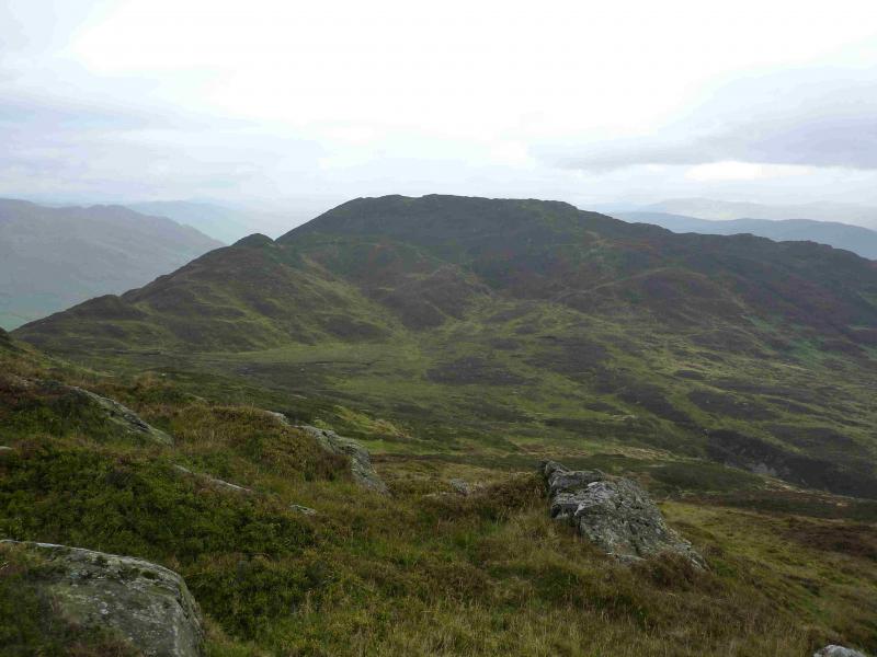
(5) Retrace W then descend S along an ill-defined rough grassy and heathery ridge. Care is needed in places to avoid some steep and craggy slopes. The new deer fence, which may have been spotted in the glen, crosses the ridge but there is a stile. Once over, the aim is to reach the track going S which will have been well seen, in clear weather, from Beinn Dearg. Unfortunately, this track is quite tight to Ben Halton and not easily seen unless one goes well to the right of the crest. If it is clear then the two obvious crags across the glen are good markers. Descend easy slopes off the ridge to reach the good track and follow it S. Just after it goes through another deer fence, leave the track and, carefully, cross an old and delicate stone wall – no stile. Continue S, across rough grazing land often containing sheep and cattle. Be very wary of the cows if they have calves and steer well clear. Especially avoid going near isolated calves or between mothers and calves as the cows may charge. Lower down, some sheep pens will be seen. Aim for the metal gate on the left of these and pick up a grassy track alongside the left hand fence. This track leads down to a gravel track then crosses a bridge before continuing back to the outward bridge across the Water of Ruchill. Follow the track back to Dalchruinn then the road back to the car park.
Notes
(a) This walk took place on 15th February, 2009, and 8th September, 2013.
Photos - Hover over photo for caption. Click on to enlarge. Click on again to reduce.