Get Lost Mountaineering
You are here: Scotland » 01 South of Oban to Stirling and Fife » Ben Lomond, Crianlarich, Balquidder and Trossachs
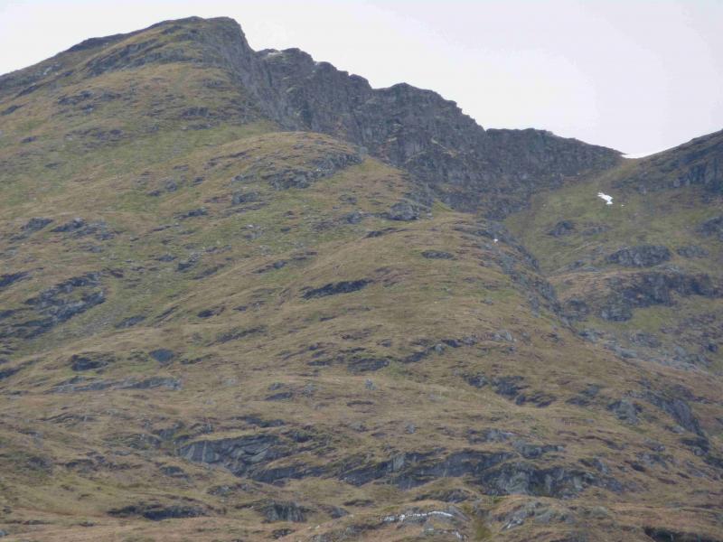
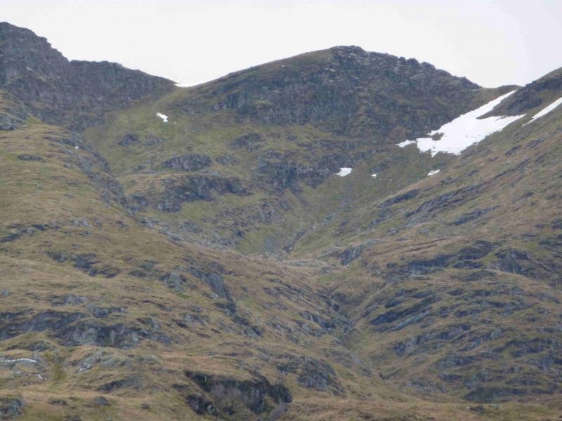
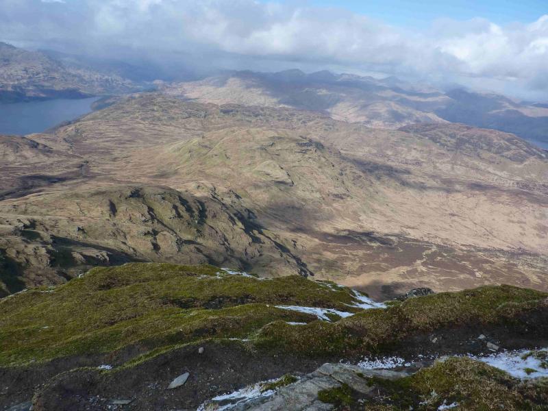
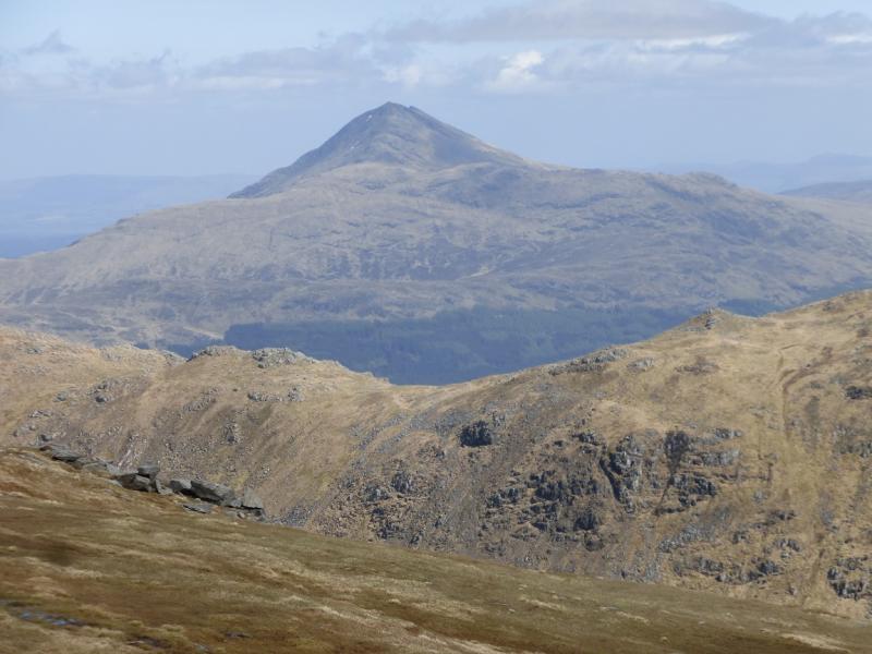
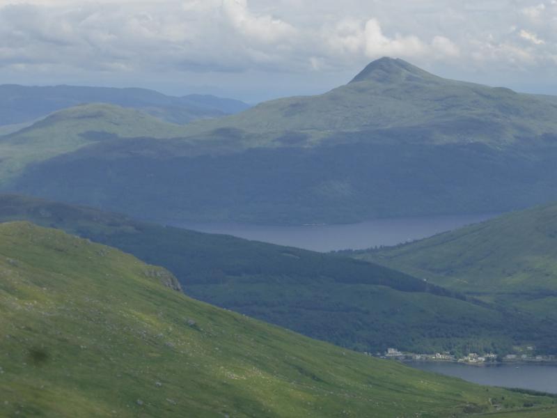
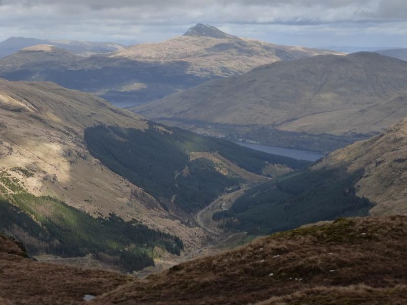
Ben Lomond & Cruinn a' Bheinn from N
Ben Lomond and Cruinn a' Bheinn from the north
Start/Finish
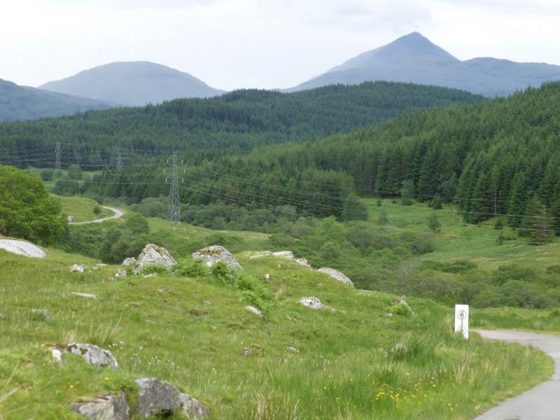
Small lay by at Loch Dhu, which is just before Loch Chon, on the B829 road from Aberfoyle to Inversnaid. From Aberfoyle, drive west through Milton, past Loch Ard, through Kinlochard. Blairuskinmore is the last prominent sign before Loch Dhu which starts just after the track for Comer, signposted on 14/3/12.
Distance/Time
12 km cycle + 11 km walk. About 8 - 9 hours, longer if all walked.
Peaks
Ben Lomond, 931 m, NN 367 028.
Cruinn a' Bheinn, 632 m, NN 365 051. OS Sheet 56.
Introduction
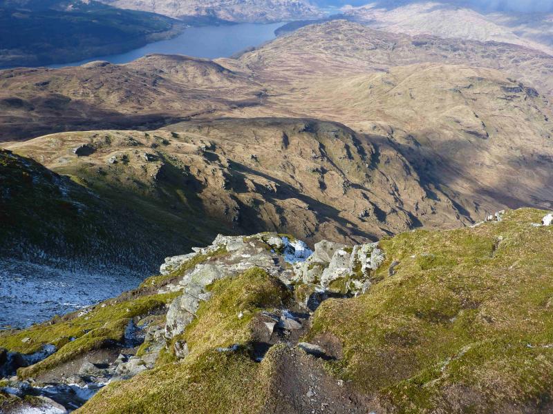
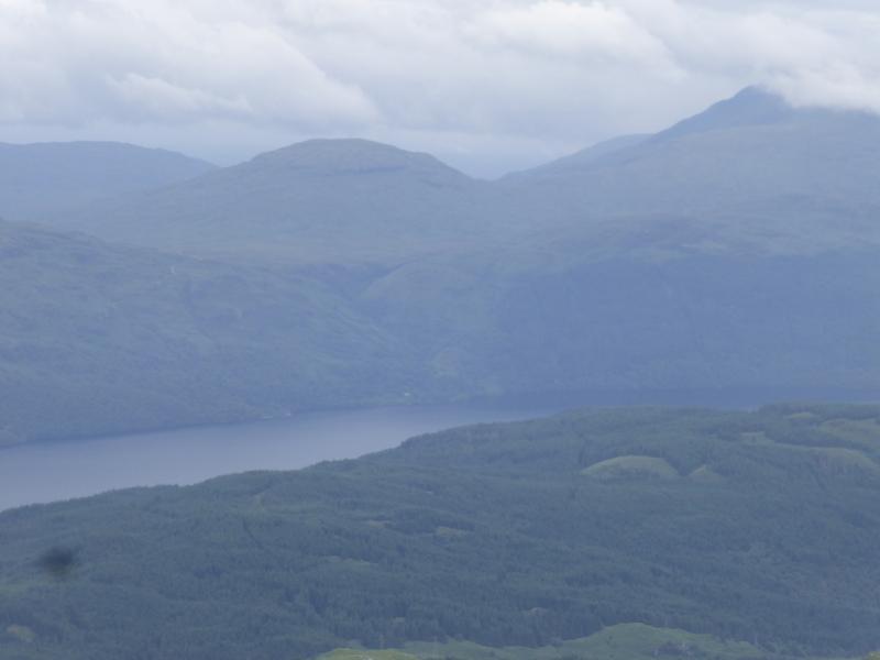
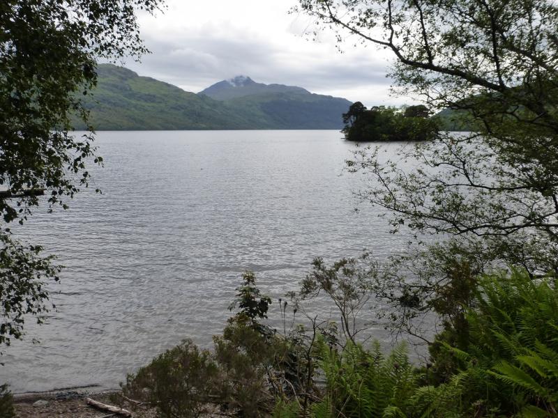
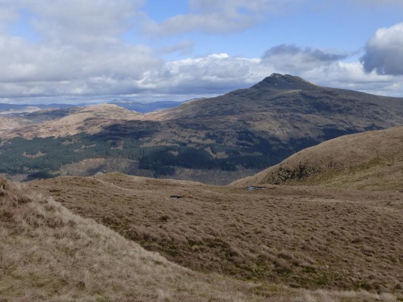
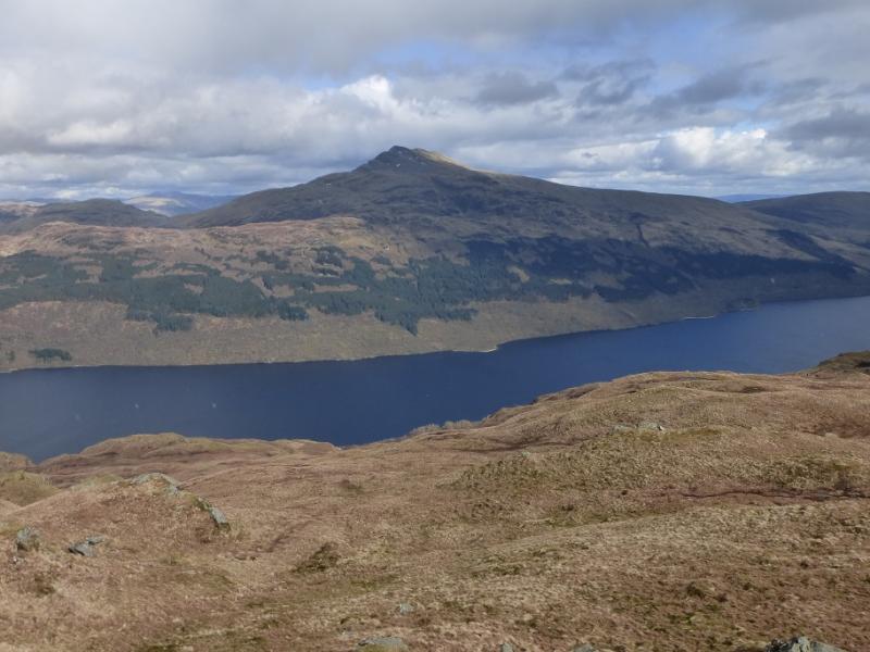
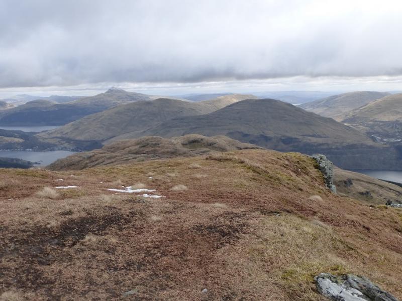
Ben Lomond is the dominant peak on the eastern side of Loch Lomond with Cruinn a' Bheinn being its northern outlier. On a clear day, there are superb views not just of surrounding mountains but also of the lochs in the Trossachs, Loch Lomond and even Loch Fyne. Ben Lomond, alone, is most popularly ascended from the south by a well engineered path. This route, however, ascends from Comer Farm on the northern side of Coire a' Bhathaich. On the map, this is shown as a line of crags. From below the route seems to have many crags. From the summit, the route looks very steep indeed. In reality, the ascent is a walk and almost entirely on grass although some of it is steep and would be a problem in winter conditions for those not properly equipped. Cruinn a' Bheinn has much tussocky ground on its lower slopes during its descent.
Route
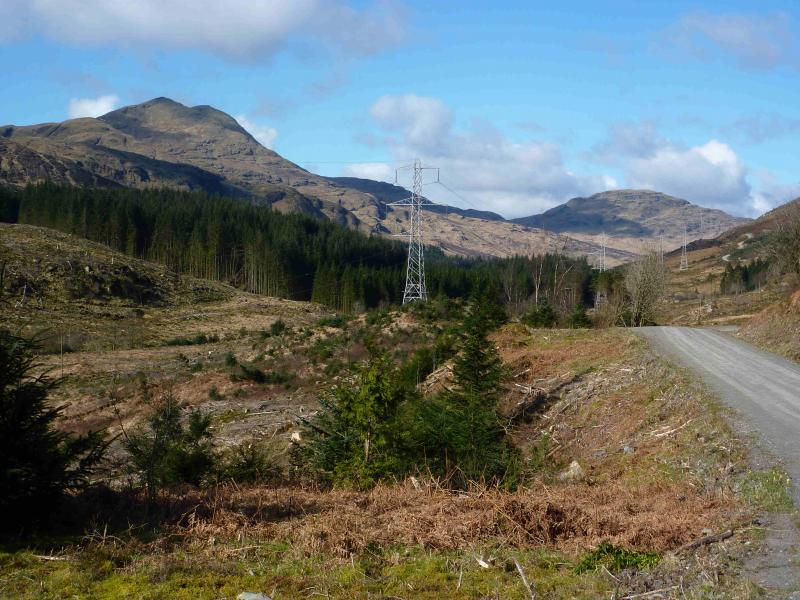
(1) Cycle up the obvious track from Loch Dhu. Cross the bridge at the end of Loch Dhu. Just past the house, go left at the bend. Continue steeply up hill. At Stronmacnair, go right following the line of pylons to reach the cottage below Stuc a' Bhuic. Continue round to the W until the bridge before Comer is crossed. Leave bikes here. On the left of the track are some enclosures. On the right is a gate to the open hill. There are some helpful signs pointing the way to Comer at some of the track junctions.
(2) Go through the gate opposite the enclosures. Immediately, leave the good track and follow an ATV track going left towards a gate in a fence higher up. Once through this gate, follow the fence up hill on a faint path/track before slanting left to reach the flat section at the bottom of the ridge. This is at approximately NN 378 033. Alternatively, one can walk to Comer where two burns meet then ascend SW between the two burns. There are many crags on this ridge but they are easily avoided by weaving around. Now and then, there are hints of a path. The higher one goes, the more defined the ridge becomes. Higher up is a small square fenced enclosure. At the top, a very short descent leads to the summit crest. Follow this as it curves around to the NW. Soon the unmistakeable “tourist path” from the S is met and followed easily to the trig point which marks the summit of Ben Lomond, 931 m. There is no cairn on the summit which is a small slabby plateau.
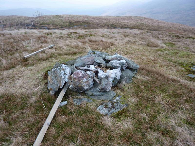
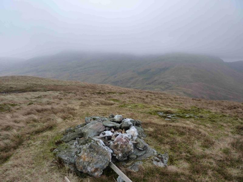
(3) Descend NW on the obvious path, not quite up the standard of the “tourist path”. An easy rocky “staircase” is descended. No scrambling skills are needed! The path then descends at an easier angle. When the path swings SW towards Ptarmigan, leave it and descend the ridge heading N. This is mainly grassy but broad and ill-defined in places. This leads down to the long bealach at about NN 364 045. Ascend N up mainly grassy slopes with any crags being easily avoided to reach the small summit plateau on which a small cairn marks the summit of Cruinn a' Bheinn, 632 m. A small lochan is close by and a deer fence crosses the summit area.
(4) Descend NE initially down a broad ridge containing far more crags than shown on the map and which are best turned by going left towards the N. The ridge gradually curves around to the E and one can descend SE towards Comer over much tussocky ground. Alternatively, one can descend S then SE from the summit then follow the Caorrain Achaidh Burn back to the start but this involves even more tussocky ground! From Comer, cycle back to Loch Dhu.
Notes
(a) This walk took place on 29th April, 2006, and 14th March, 2012.
Photos - Hover over photo for caption. Click on to enlarge. Click on again to reduce.