Get Lost Mountaineering
You are here: Scotland » 04 Loch Leven and Loch Linnhe to Loch Ericht » Ben Nevis to Loch Trieg
Meall an t-Suidhe via Ben Nevis Tourist Path
Meall an t-Suidhe via the Ben Nevis Tourist Path
Start/Finish
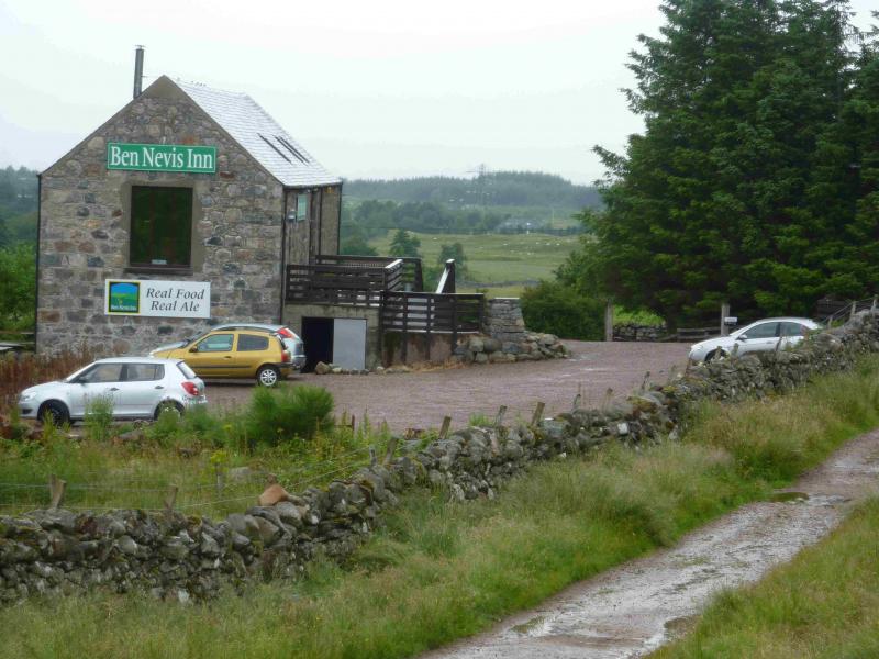
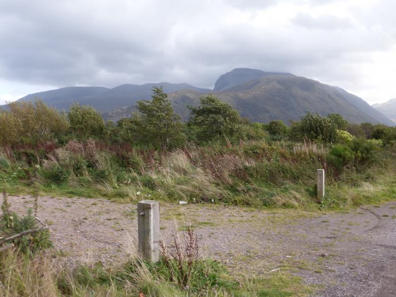
Car park outside the Ben Nevis Inn at the end of the Achintee Road. The parking is limited so if all the spaces have gone, the next best option is the Visitor Centre car park in Glen Nevis where there is much more parking available. To reach the Ben Nevis Inn from the south, go through Fort William on the dual carriageway then past the railway station, to reach the Glen Nevis roundabout. Stay on the main road, A82, and take the second right – Claggan – just before the traffic lights for the left turn to Inverlochy. Note that this turning is only a short distance past the Glen Nevis roundabout and could easily be missed. Once on the Claggan road, turn right just before the Spar shop and follow the road, soon single track, to its end at the Ben Nevis Inn.
Distance/Time
9 km About 3 - 4 hours
Peaks
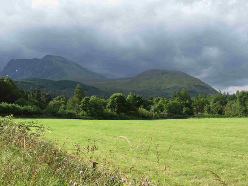
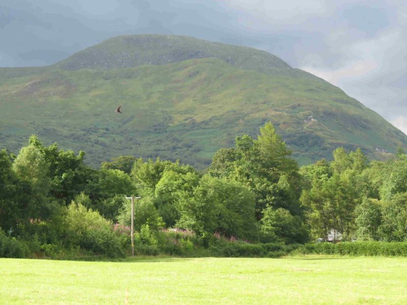
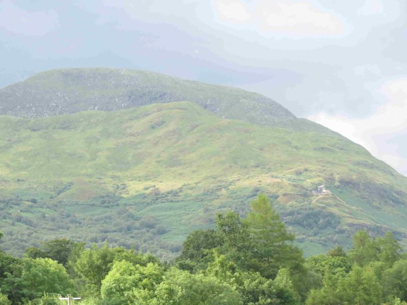
Meall an t-Suidhe, 711 m, NN 139 729. OS sheet 41.
Introduction
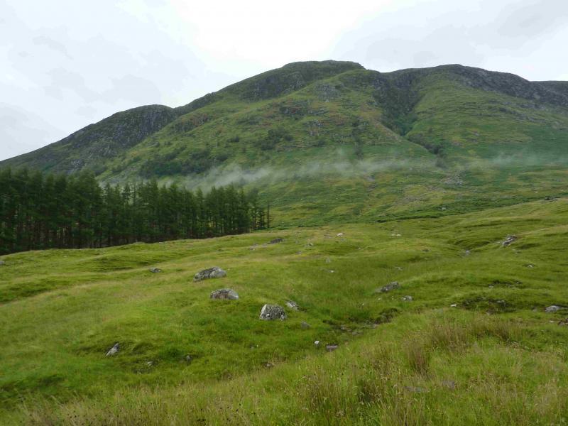
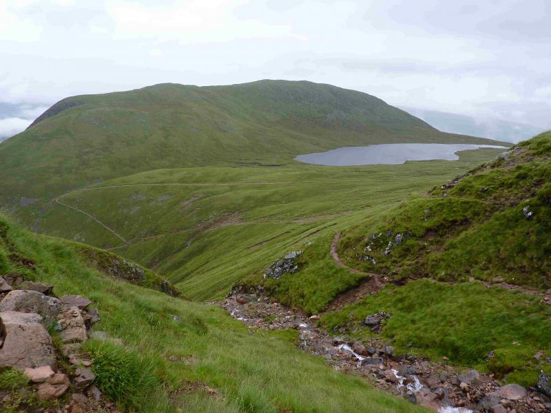
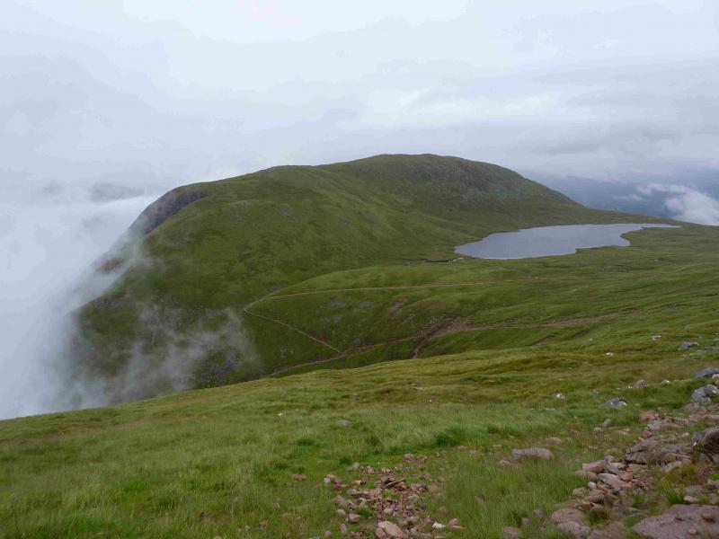
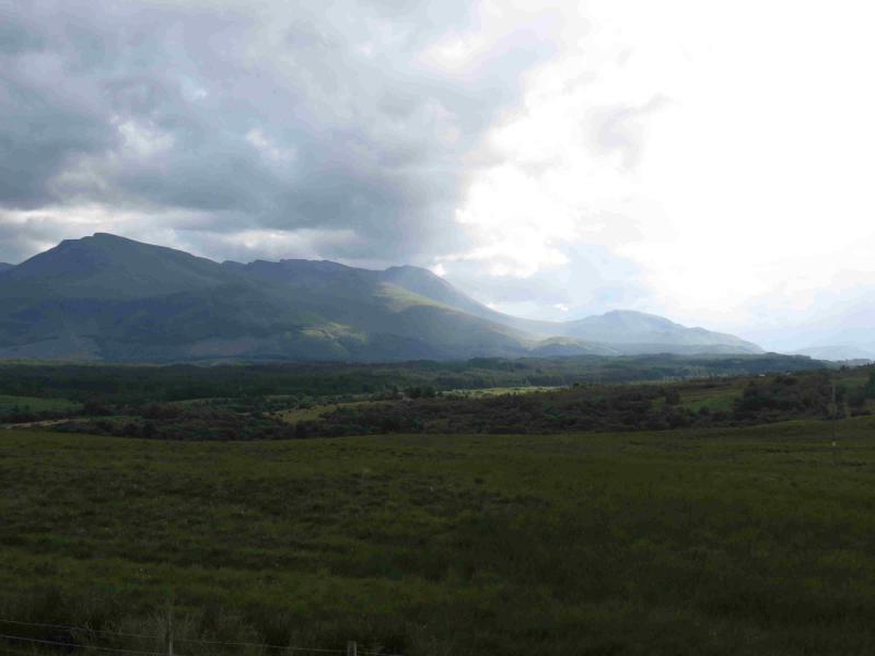
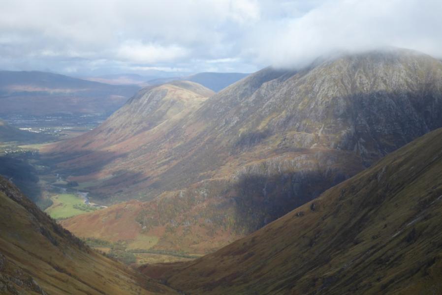
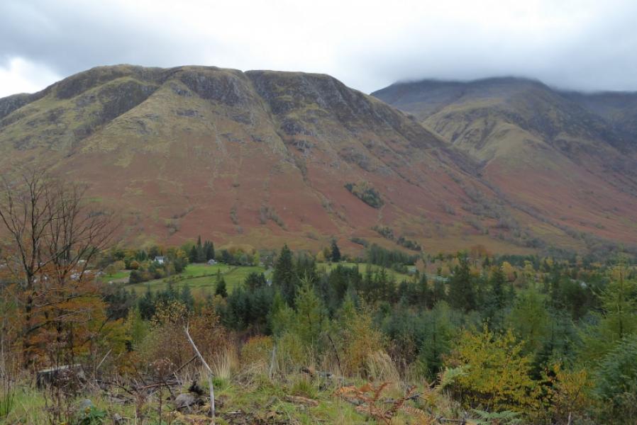
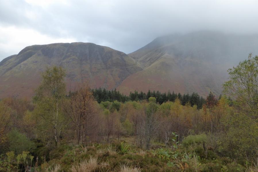
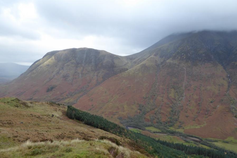
Few ascend to this summit despite its prominence from the A82 and Fort William. From the main road, it stands out because of the water pipes coming down its slopes. These carry water from Loch Trieg, through Ben Nevis, to the Aluminium works below where it generates the hydro-electricity needed for the commercial production of aluminium. Spent water was then passed via a narrow channel, known as a tailrace, to the local wood pulping factory before finally being discharged into Loch Linnhe. It is known locally as “Melantee” and there is a street with this name in Claggan just after the turn off for Achintee. It is an excellent viewpoint, especially looking west. There is little in the way of a path on this top, reinforcing how neglected it is. Meall an t-Suidhe could be included on the descent from Ben Nevis adding about 60 to 90 minutes.
Route
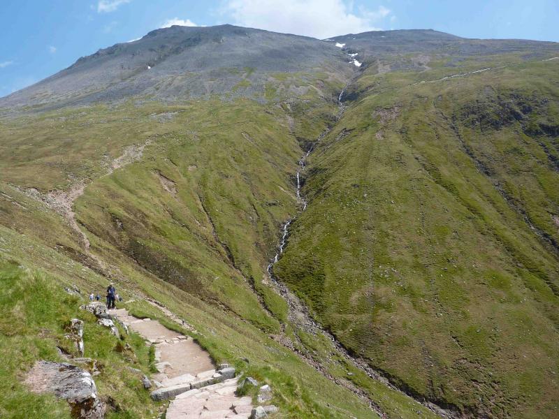
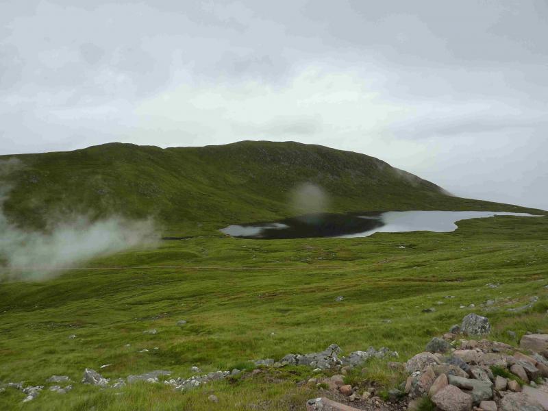
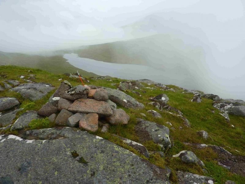
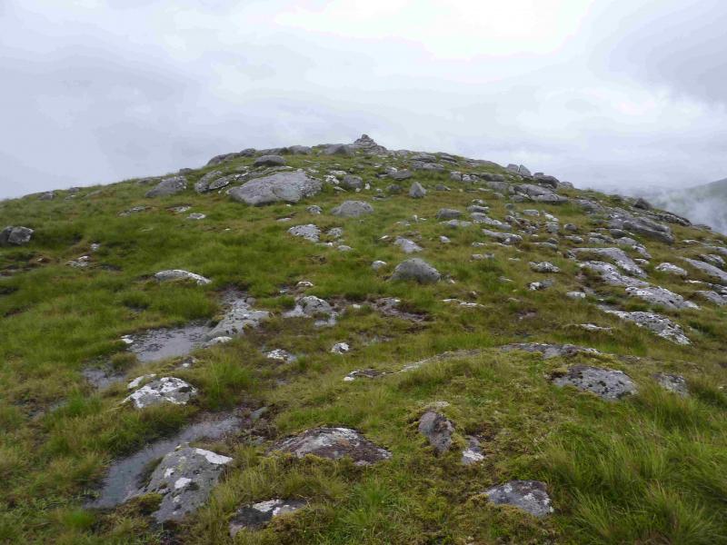
(1) From the end of the road, continue on the obvious signposted path which climbs steadily before zig-zagging just below Lochan Meall an t-Suidhe. The path curves around the top of the wide grassy gully and can be left anywhere about here. Ascend the easy grassy slopes to reach the S top where there is a small cairn. Walk N, descending slightly before an easy grassy rise to the medium cairn which marks the summit of Meall an t-Suidhe, 711 m.
(2) Return by the same route or descend to the lochan and rejoin the main path slightly higher up.
Notes
(a) This walk took place on 1st August, 2013.
(b) If the route has to start at the Visitor Centre, this increases the distance and the climbing adding about 20 minutes to the day.
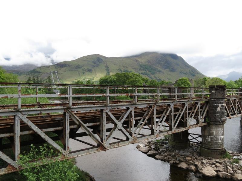
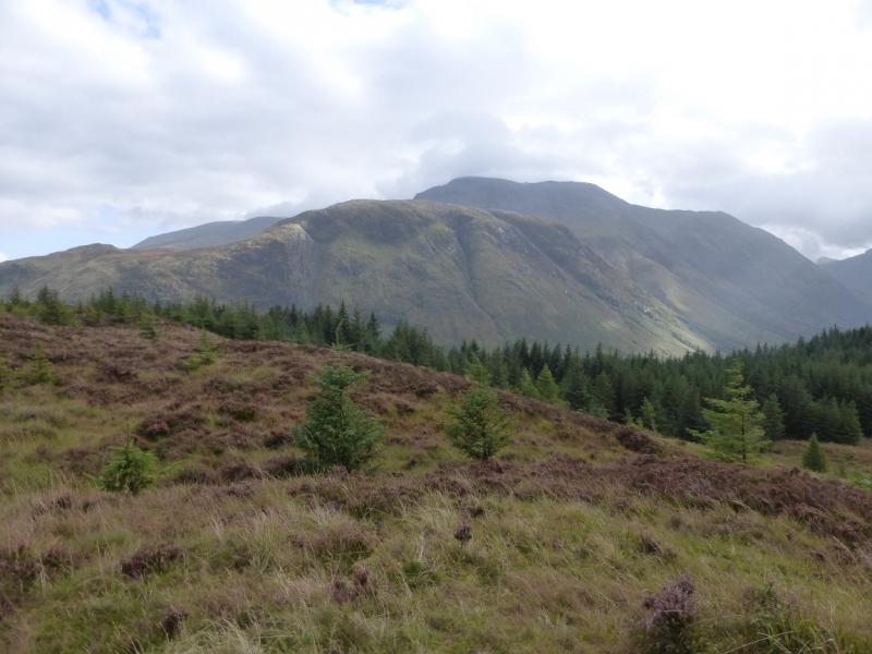
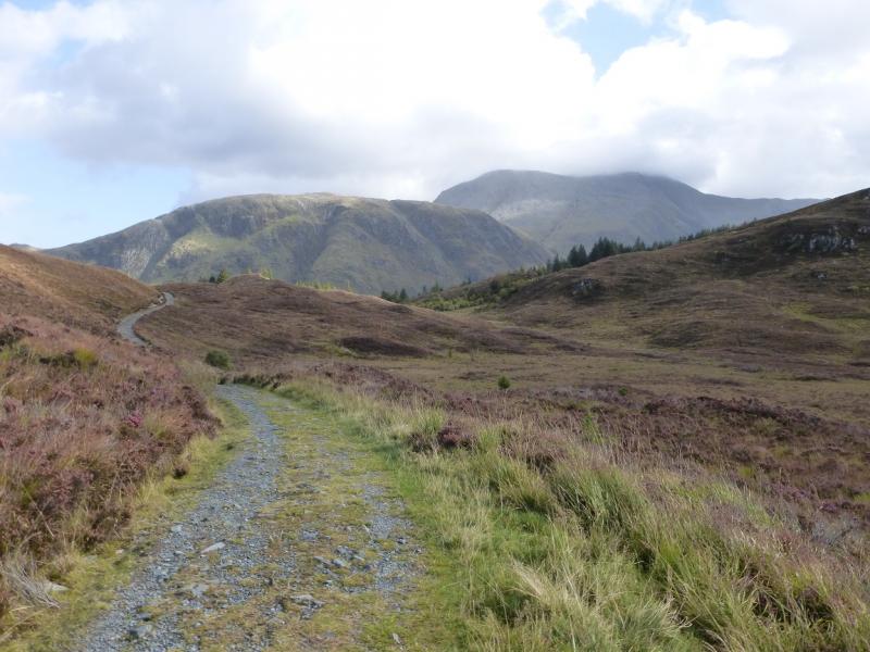
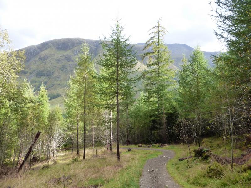
Photos - Hover over photo for caption. Click on to enlarge. Click on again to reduce.