Get Lost Mountaineering
You are here: Scotland » 01 South of Oban to Stirling and Fife » Ben Lui Range to Crianlarich
Beinn a' Chleibh & Meall nan Gabhar
Beinn a' Chleibh and Meall nan Gabhar from Glen Falloch
Start/Finish
The gate (usually locked) at the start of the hydro track in Glen Falloch. This is at NN 319 197. The track is on the S side of the bridge over the Allt nan Caorainn. The entrance to the Beinglas campsite is about 1 km S of the gate. Note that there is also a track on the N side of the Allt nan Caorainn.
Distance/Time
20 km cycle + 12 km walk About 8 - 9 hours, longer if all walked.
Peaks
Meall nan Gabhar, 744 m, NN 235 240.
Beinn a' Chleibh, 916 m, NN 250 256. OS Sheet 50.
Introduction
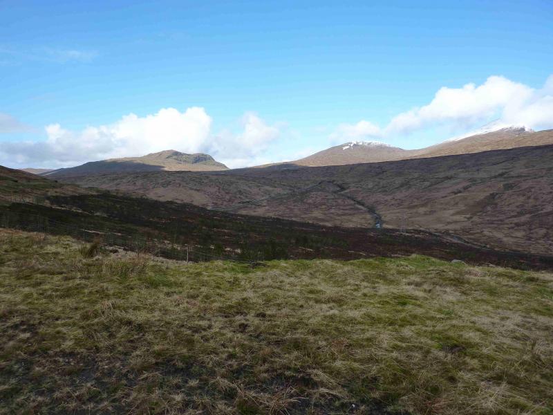
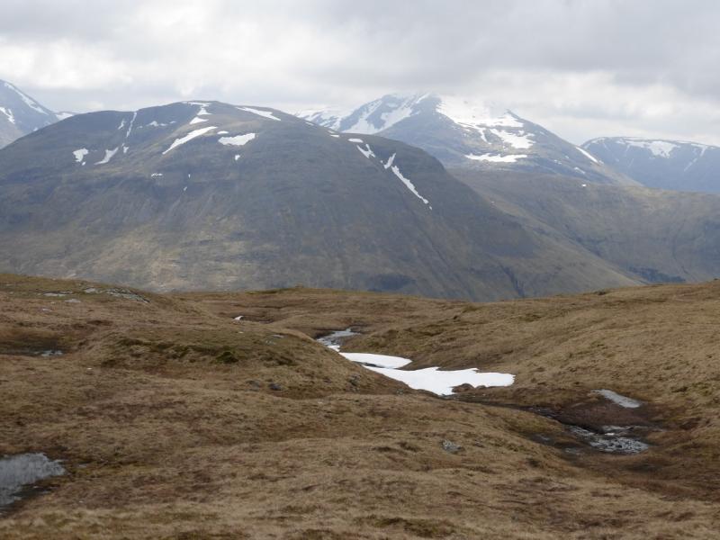
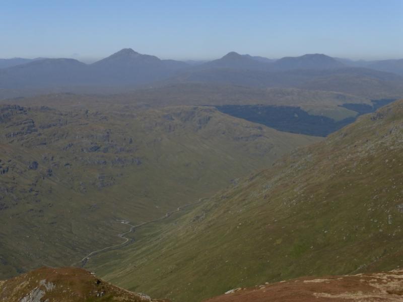
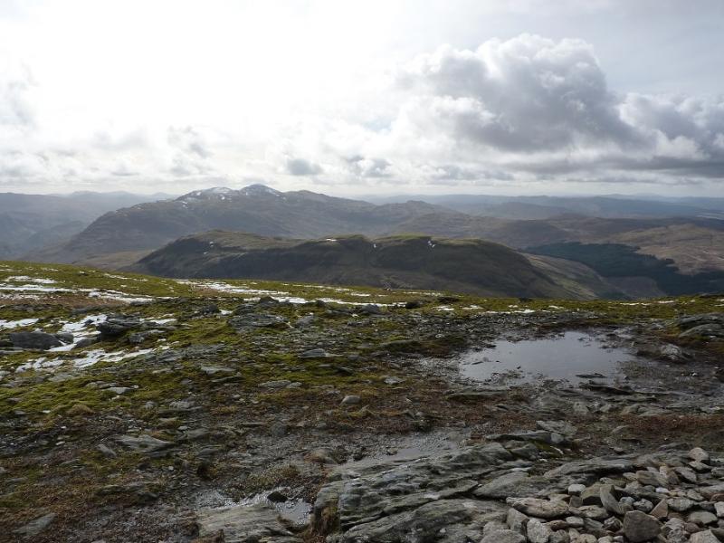
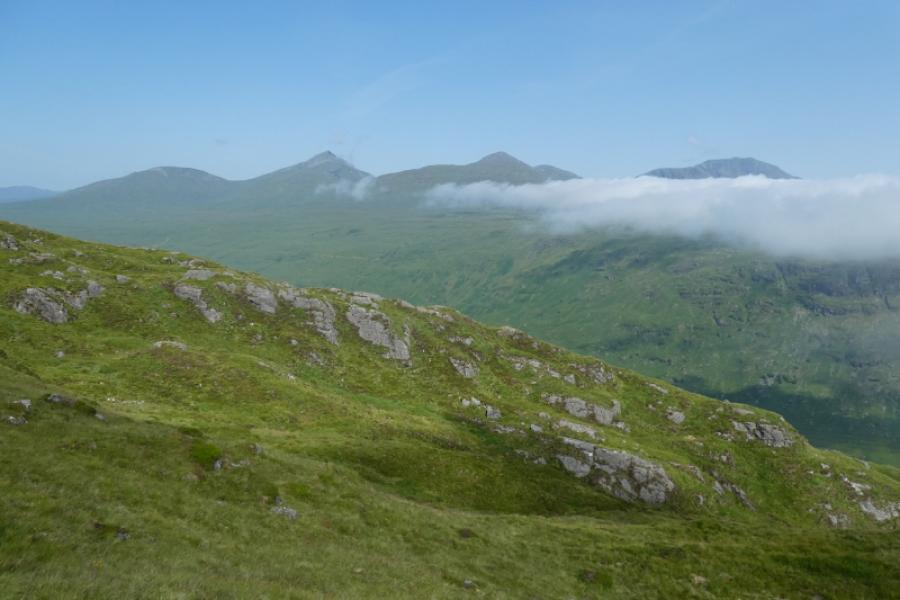
Meall nan Gabhar is a remote Graham which is most easily accessed by this route. Adding the Munro of Beinn a' Chleibh only adds about 3 hours to the day and this leaves the nearby Munros of Ben Lui, Ben Oss and Beinn Dubhcraig easy to link together in a walk from Dalrigh near Tyndrum. There are excellent views on a clear day not just to the nearby hills but also to Ben Cruachan, Ben Vorlich (Ardlui), Meall an Fhudair, the Crianlarich Hills, the Arrochar Alps and many more. The cycling is strenuous and the below average biker may not gain from using a bicycle as there are some steep gradients, most notably near the start, which will leave many pushing rather than cycling. The track has also deteriorated since 2006 and contains more loose gravel as well as muddy puddles after rain. Beyond the end of the track are many boggy ATV tracks but otherwise the walking is on good ground.
Route
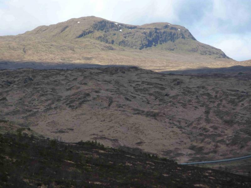
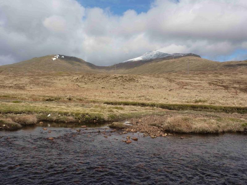
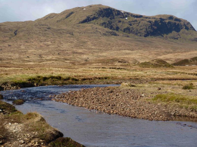
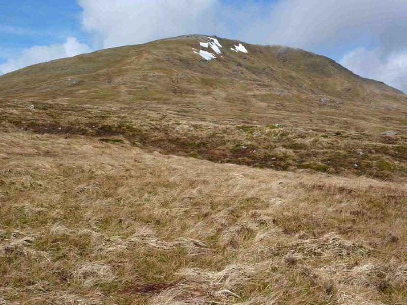
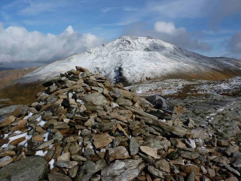
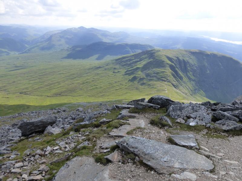
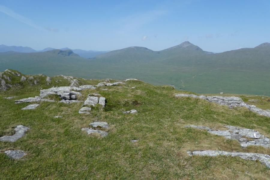
(1) Cycle, or push your bike, up the track. The West Highland Line is soon crossed as the track zig-zags up. When it meets another track running roughly SW – NE, turn right, NE, and continue around to enter Glenn nan Caorainn. Continue for about 3 km, with pylons for company (!) until a right turn zig-zags down, following an obvious pipeline, into the bottom of the glen then up the other side where one turns left on the track following the S bank of the Allt nan Caorainn. After about 2 km, there is a ford, at a confluence of burns, which will be difficult to cross if there has been recent rain. If this is the case then leave bicycles here and cross the burn to the left by a makeshift bridge of a section of corrugated roof (!). Continue on the track to its end with some fenced enclosures across the burn. Boggy ATV tracks continue from here and can be used to reach the foot of the SSE ridge of Beinn a' Chleibh. Walk up the mainly grassy ridge. Higher up is an area of gravel and not much further, across some flatter ground, is a medium cairn which marks the summit of Beinn a' Chleibh, 916 m. On a clear day, Ben Lui, being so close, dominates the view. About 100 m to the NW, is a smaller cairn which is a good viewpoint, especially for Ben Cruachan.
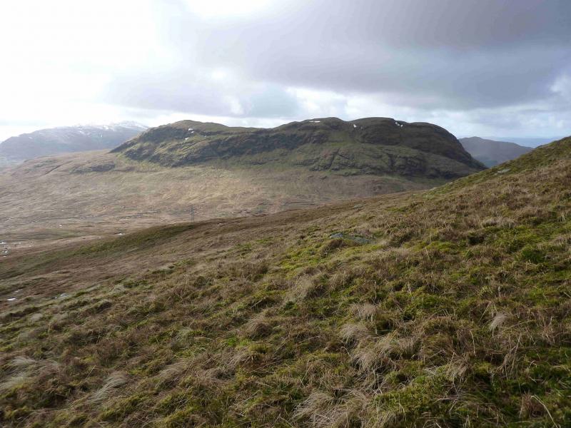
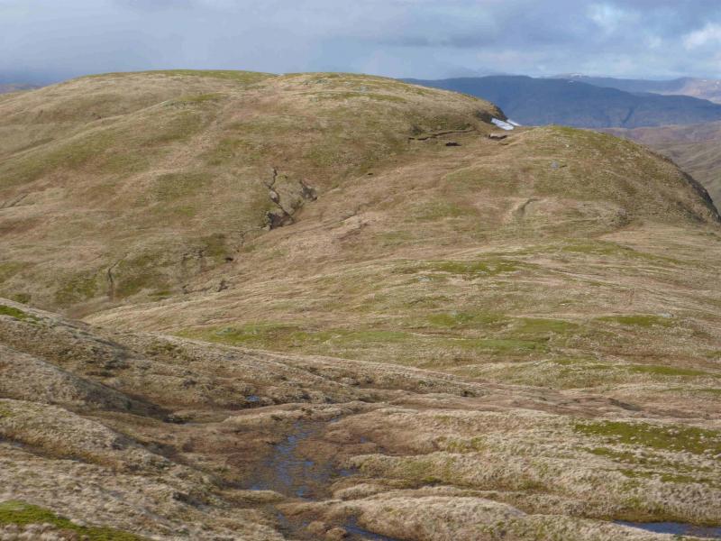
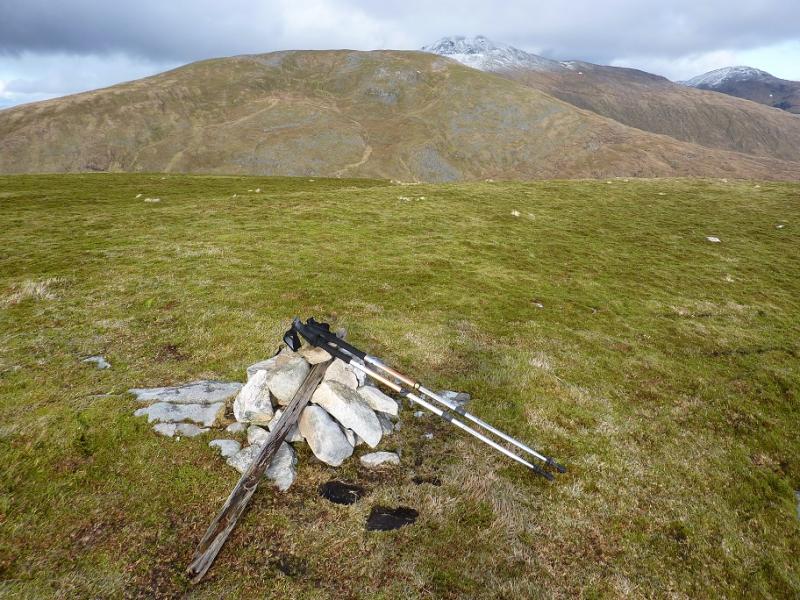
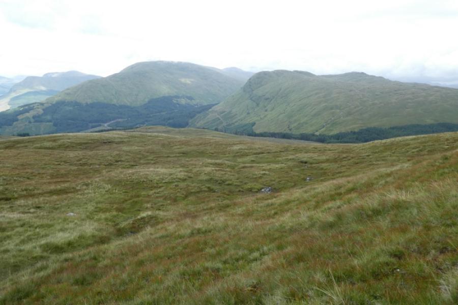
(2) Descend roughly the same way as the ascent. It is best to aim for the 3rd visible pylon from the right. From here, head for the foot of the ESE ridge of Meall nan Tighearn and carefully pick a way up. Most of its crags face Beinn a' Chleibh. There are few crags on the mainly grassy SE ridge. Weaving around can make the grassy ascent less strenuous. When the top is reached – no cairn on 17/3/12 – descend into a grassy dip beyond then climb out to another top followed by another shorter descent before a final climb to a grassy plateau at the far end of which sits a small cairn which marks the summit of Meall nan Gabhar, 744 m.
(3) Retrace over Meall nan Tighearn, descending the ESE ridge. Once lower ground is reached head across tussocky ground to reach the end of the track. In thick weather, one could aim for the Allt a' Mhinn and follow it down to the ford. Cycle back along the track to the start.
Notes
(a) This walk took place on 30th April, 2006, and 17th March, 2012.
Photos - Hover over photo for caption. Click on to enlarge. Click on again to reduce.