Get Lost Mountaineering
You are here: England » Peak District » Kinder, Harry Hut, Burnt Hill, Mill Hill & Wormstones from Glossop to Hayfield Road
Harry Hut, Mill Hill, Kinder Edge, NW Trig Point, Downfall & Reservoir
Harry Hut, Mill Hill, Kinder Edge, NW Trig Point, Downfall & Reservoir
from Grouse Inn on Hayfield to Glossop Road
Start/Finish
Long layby about 300 m N of Grouse Inn on Hayfield to Glossop road. Grouse Inn is about 2.5 miles from both Hayfield and Glossop on the A624. Coming from Buxton, take the A6 to Chapel-en-le-Frith then follow signs to Glossop. Coming from Chesterfield, take A619 to Baslow then A623 through Calver to Chapel-en-le-Frith then follow signs for Glossop. From Sheffield, take A57, Snake Pass, to Glossop then take A624 towards Hayfield.
Distance/Time
16 km About 5 -6 hours
Peaks
Harry Hut, 440 m, SK 044 907.
Mill Hill, 544 m, SK 061 504.
Kinder NW Trig Point, 624 m, SK 077 894.
The rest of the walk is on edges, ridges and open moorland.
OS Outdoor Leisure 1: Dark Peak. OS 110 (1:50 000).
Introduction
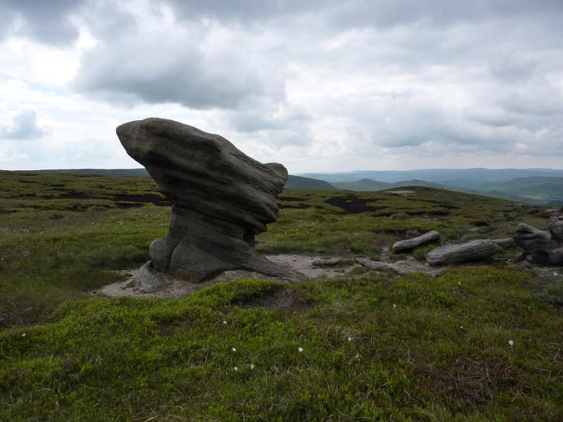
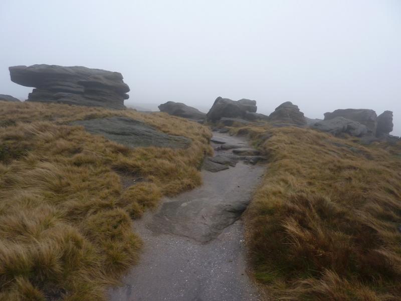
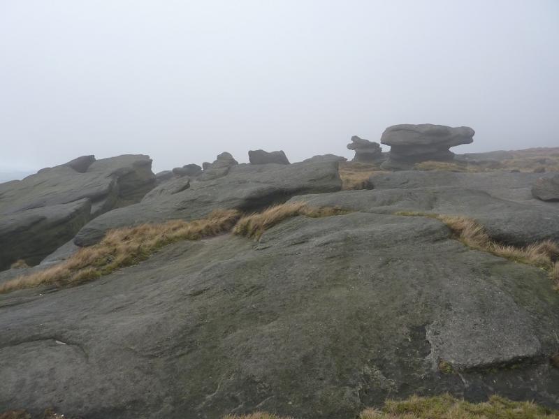
This is mainly a pleasant ridge walk which takes in part of the western edge of Kinder, Kinder Downfall (which often blows back in a strong westerly!), and Kinder Reservoir. For this part of the Peak District, the paths are good and there are many unusual rock formations on the edge of Kinder which also provide good shelter, if needed, for lunch. Height is initially gained using the quiet path up to the trig point on Harry Hut before using the engineered Pennine Way to ascend on to the edge of the Kinder Plateau where the route takes in not just Kinder Downfall and its cliffs but also the similar Red Brook gully A similar quiet path is used to descend to Kinder Reservoir where, again, there is plenty of shade and shelter for a stop. The return is via White Brow and Middle Moor, on good paths, keeping off the road for all but the last few hundred metres.
Route
(1) Towards the end of the lay by furthest from the Grouse Inn is a stone stile. Go over this and follow the obvious path up a grassy strip through the heather. This gives an easy ascent which eventually leads to the trig point on Harry Hut, 440 m.
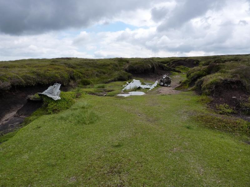
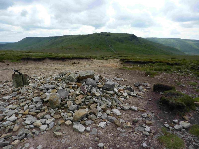
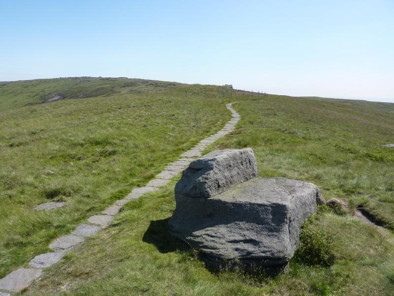
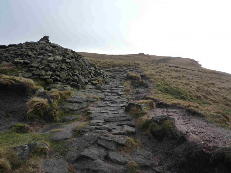
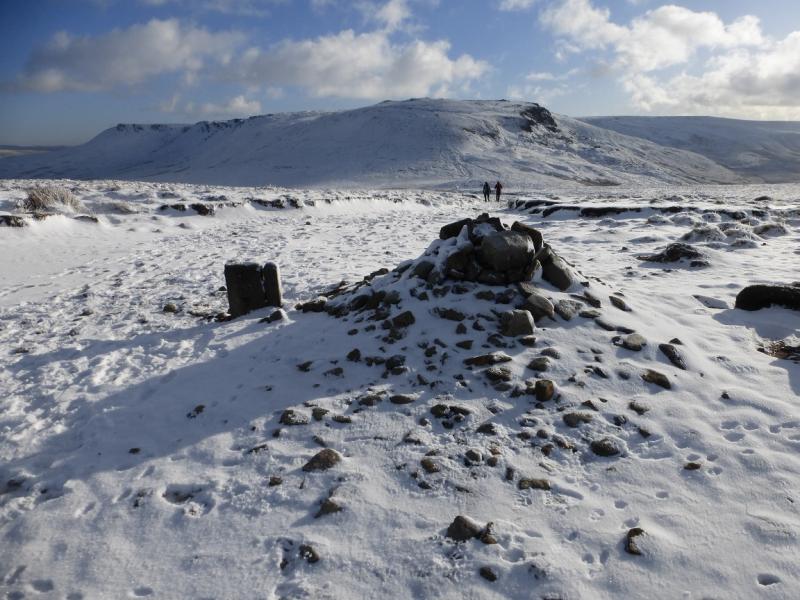
(2) Continue roughly right, descending slightly, still on the path which soon converges with a slabbed path coming from Burnt Hill to the south. Higher up, a clean grassy gully appears on the left in which there is some old aircraft wreckage. It is worth walking up this shallow gully as there is some more wreckage slightly higher up. The gully soon peters out and the slabbed path can be rejoined. Continue up, reaching a large but low cairn which is the summit of Mill Hill, 544 m. There is a crossroads of paths here. Ahead and left is the Pennine Way, to the right is a faint path heading towards Leygatehead Moor.
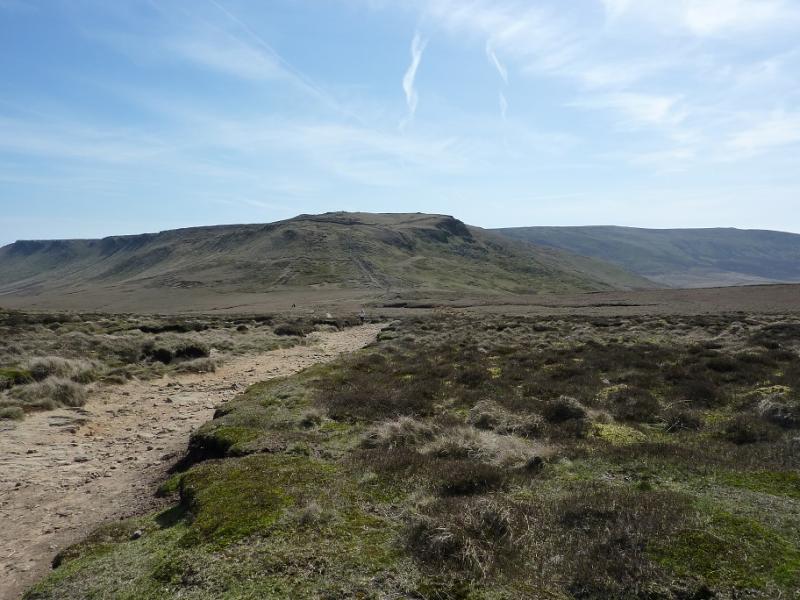
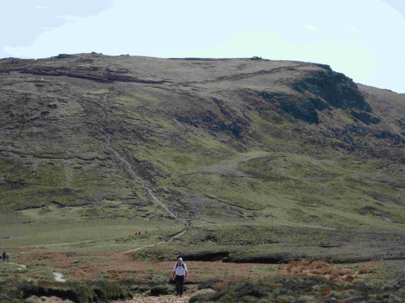
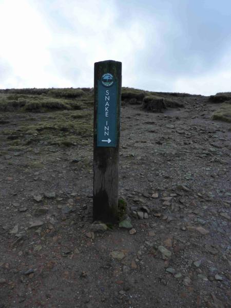
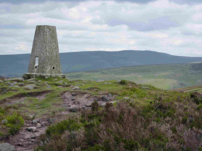
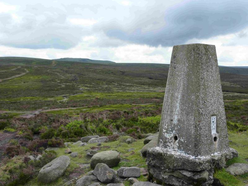
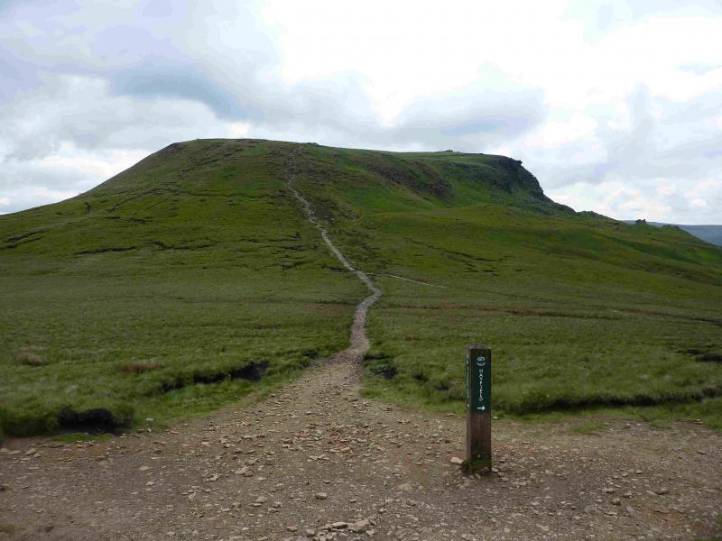
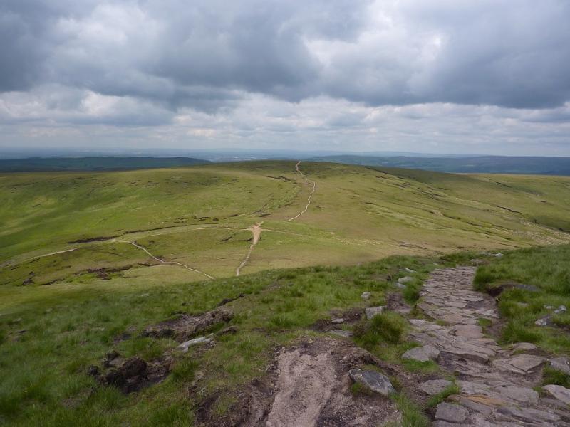
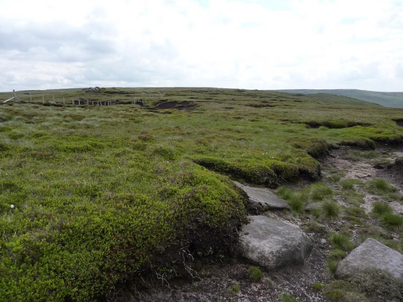
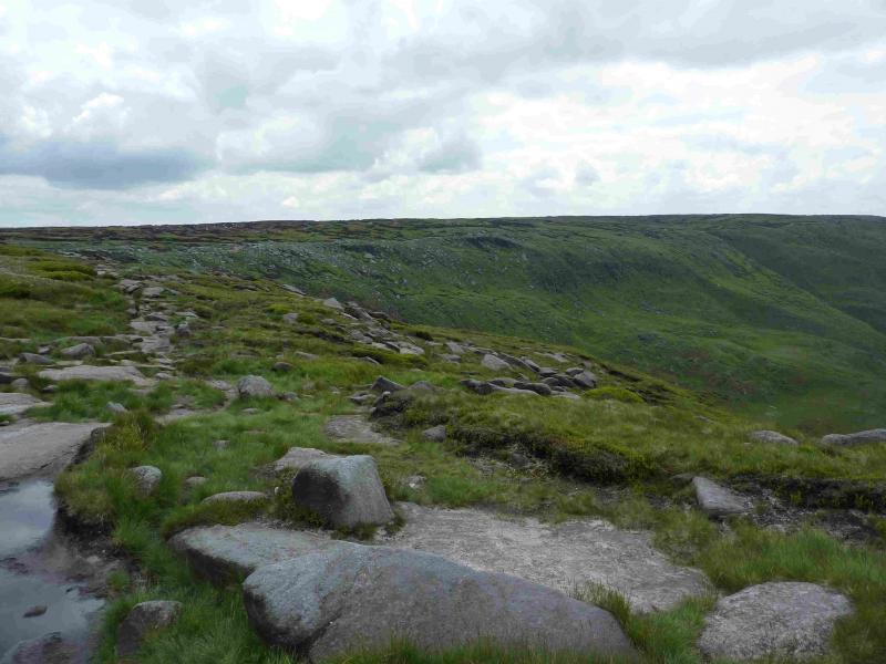
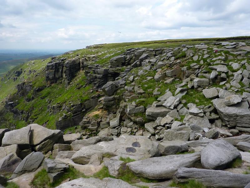
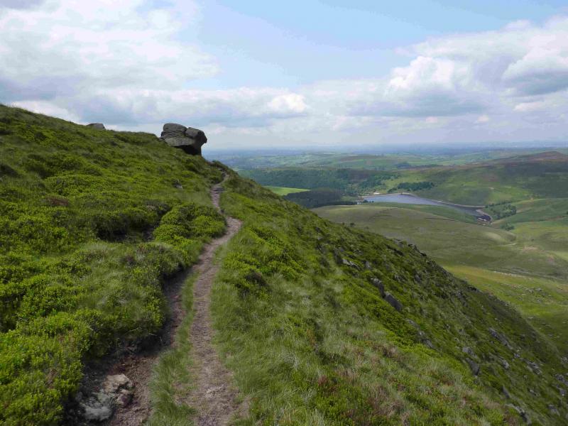
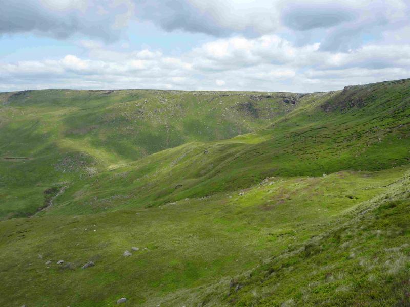
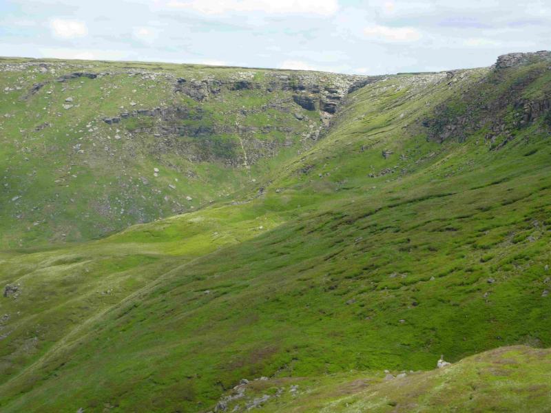
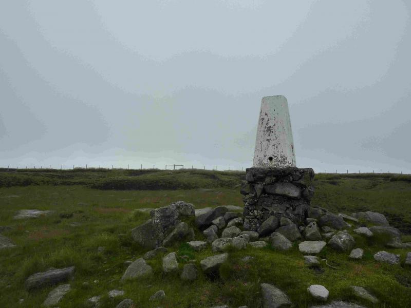
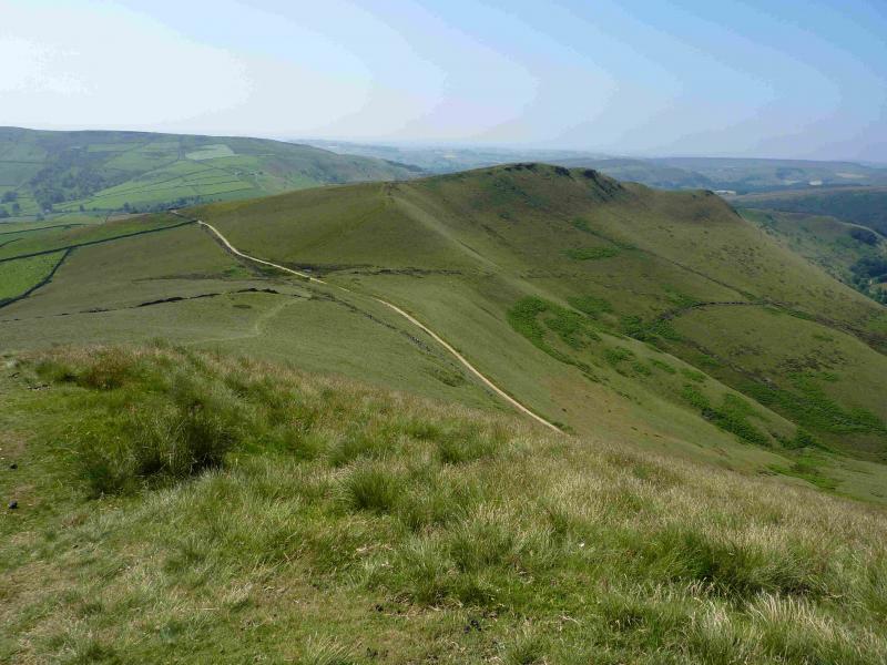
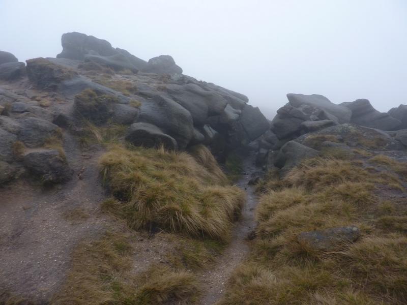
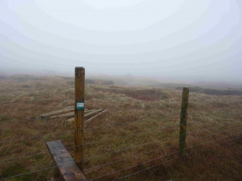
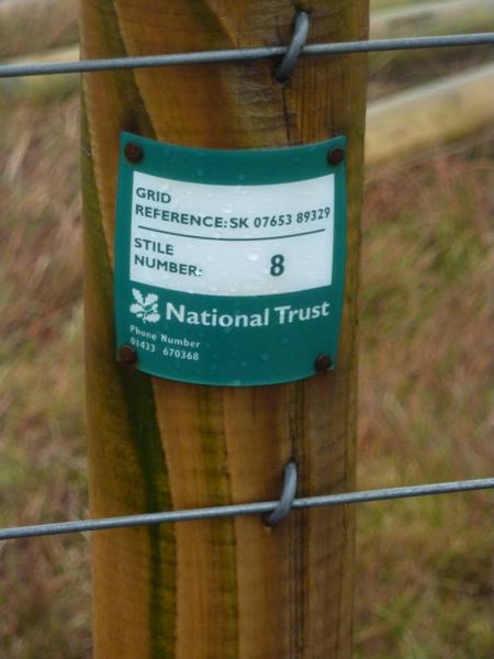
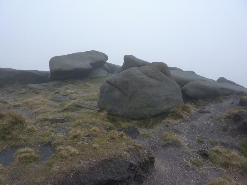
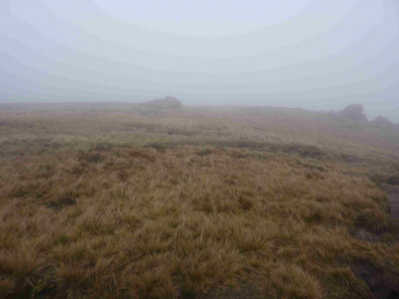
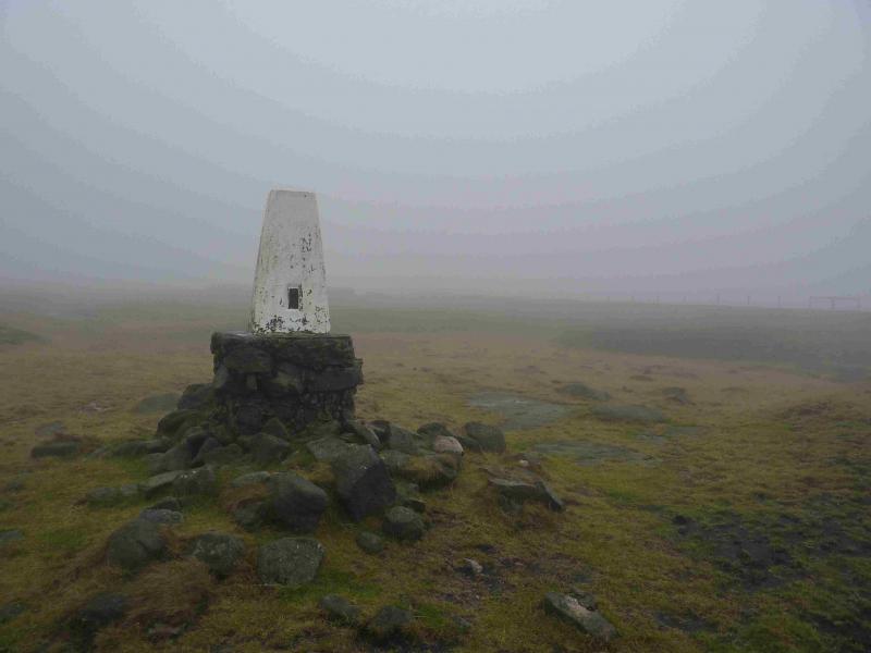
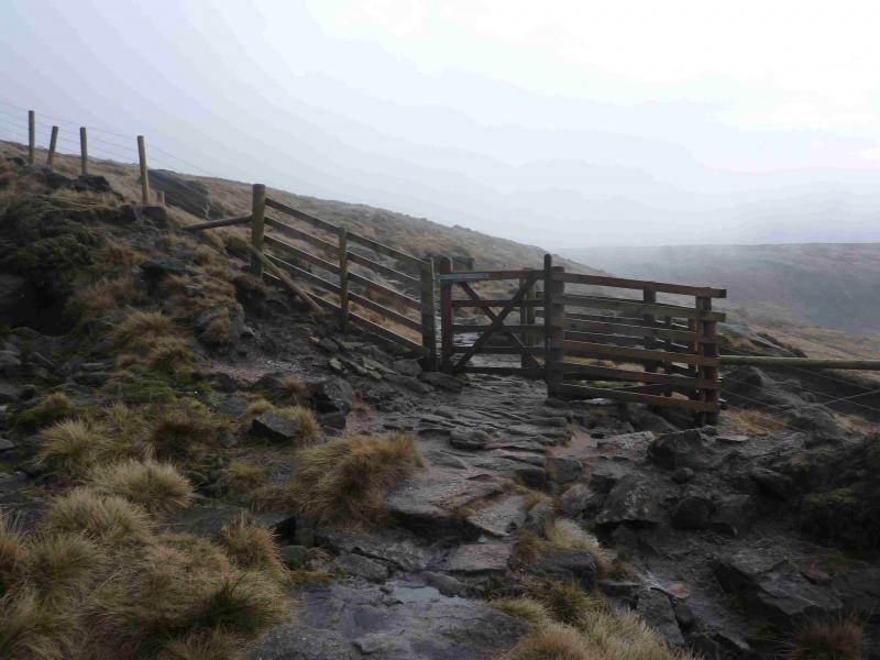
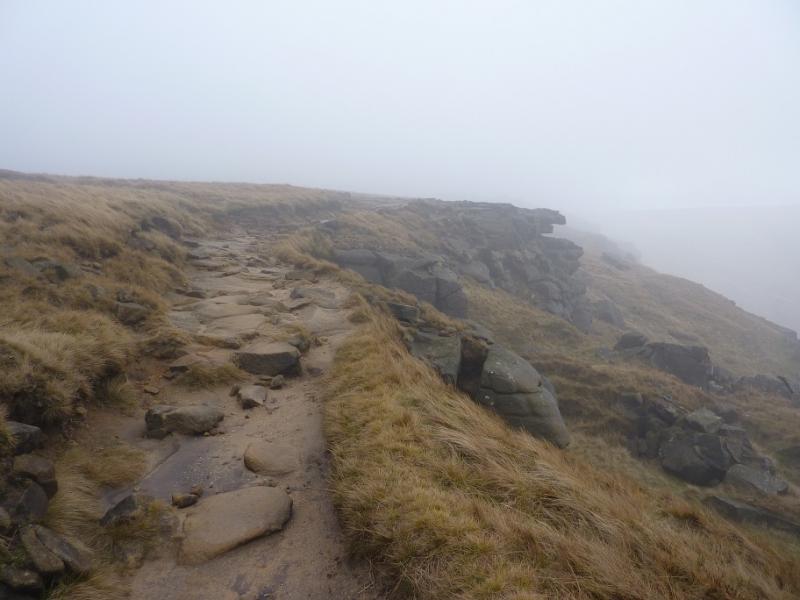
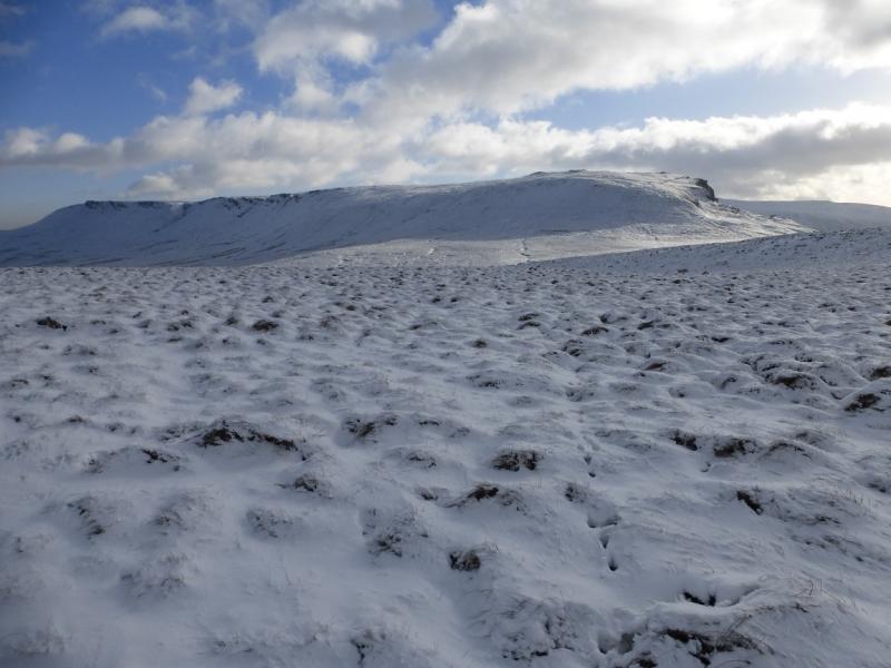
(3) Continue ahead, SE, on the Pennine Way. In clear weather, the NW corner of Kinder should be very prominent ahead. The path continues to a sign post indicating routes to Hayfield, the Snake Path as well as the Pennine Way. The ascent to the NW corner of Kinder is on a steep cobbled path. The worst of this ascent is over when the first cairn is reached and the obvious path (Pennine Way) can be followed SE along the edge of the Kinder Plateau. If the weather is bad, there are some useful rocks to shelter behind and, on the right of the path, there is a rocky groove which offers the best shelter. Continue on the path, gradually ascending. Kinder NW Trig Point lies off this edge path and is on the Kinder Plateau. Follow the edge path to a “summit” by an outcrop after which the path descends. A fence, visible much of the way from the NW corner should be seen to the left. In clear weather, the trig point itself may be seen. If not walk to the fence and follow it shadowing the edge. There are a few stiles but one is about 40 m from the trig point which is slightly to the right. This is actually labelled as Stile 8 and has its grid reference on it. Note that Kinder NW Trig Point, 624 m is not the highest point in this area. In thick weather, the fence may not be seen from the path “summit” so, if you are sure you are in the right place (!), walk at 1 o'clock from the “summit” to meet the fence then follow it to Stile 8. If you cannot see the Trig Point – it is white and does not stand out in mist – from Stile 8 then also walk at about 1 o' clock for about 40 m. An even surer way to reach Stile 8, although slightly longer, is to stay on the edge path until a fence crosses it then follow this fence to Stile 8.
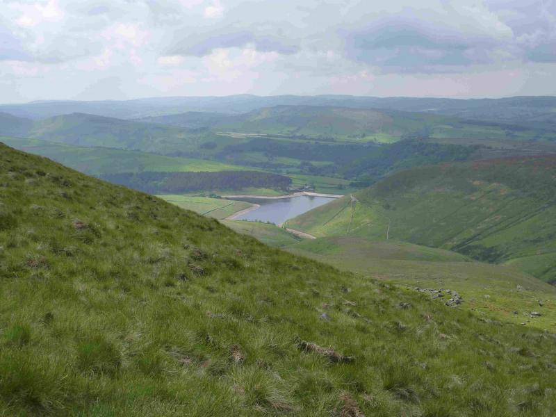
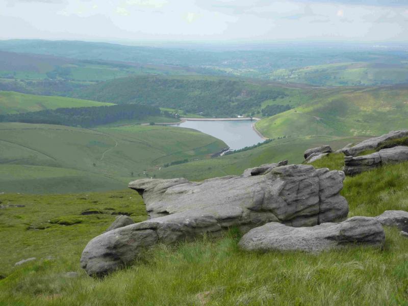
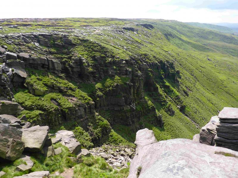
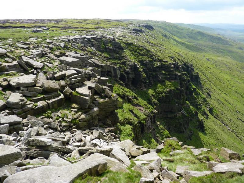
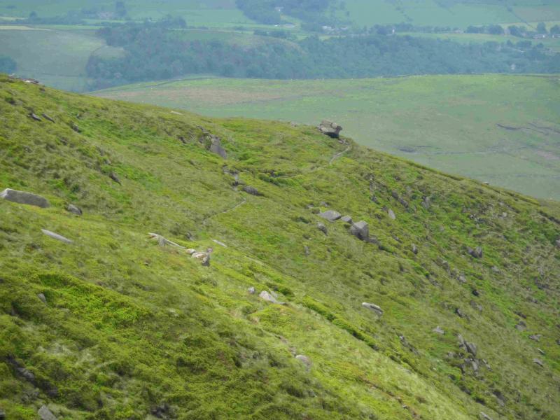
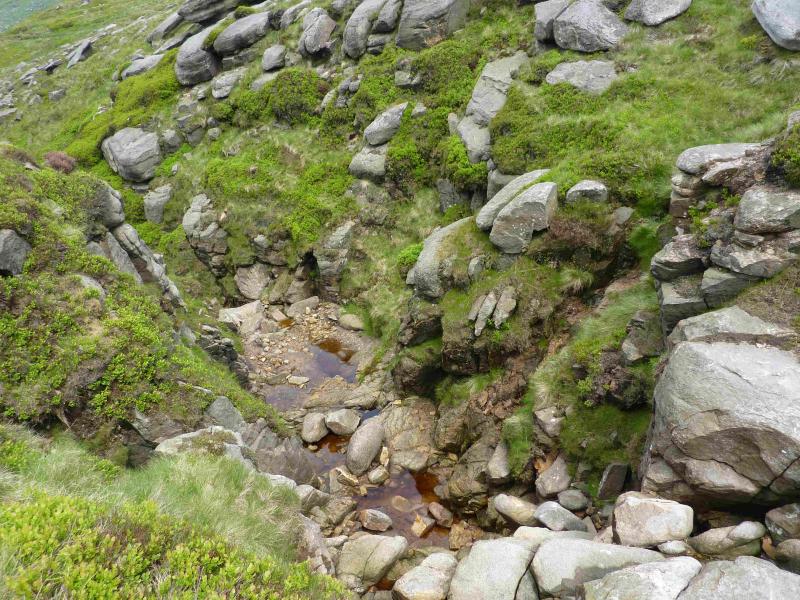
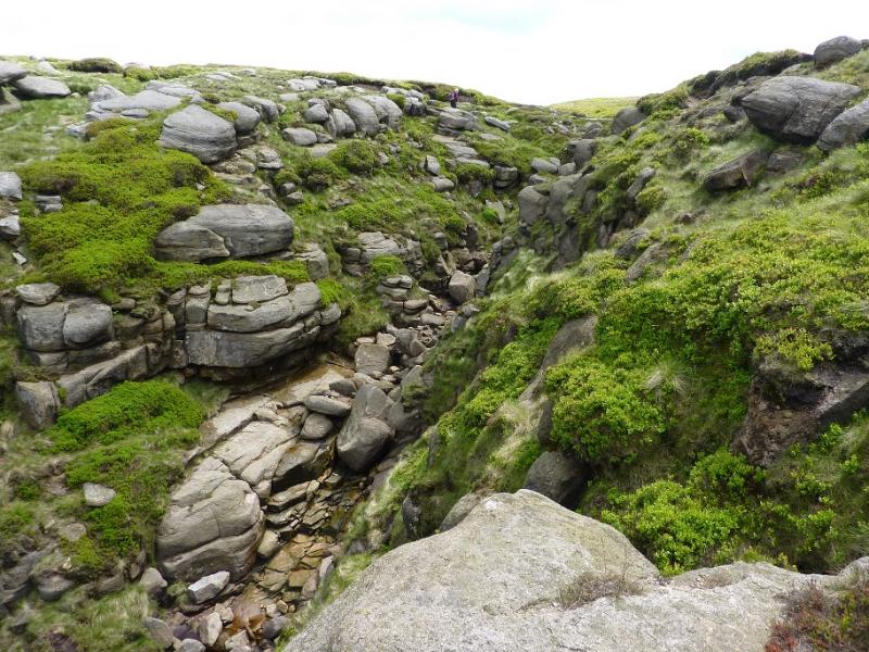
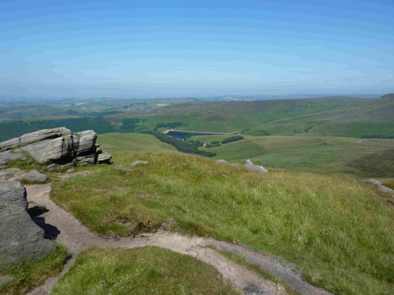
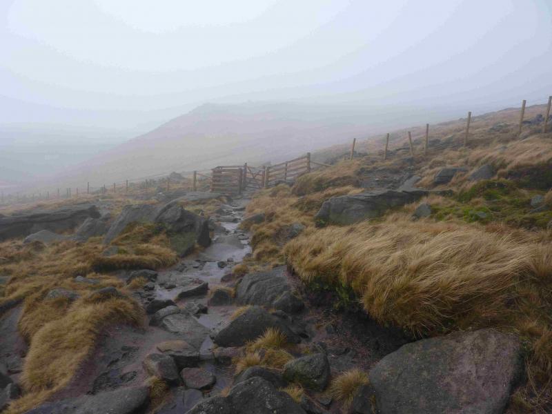
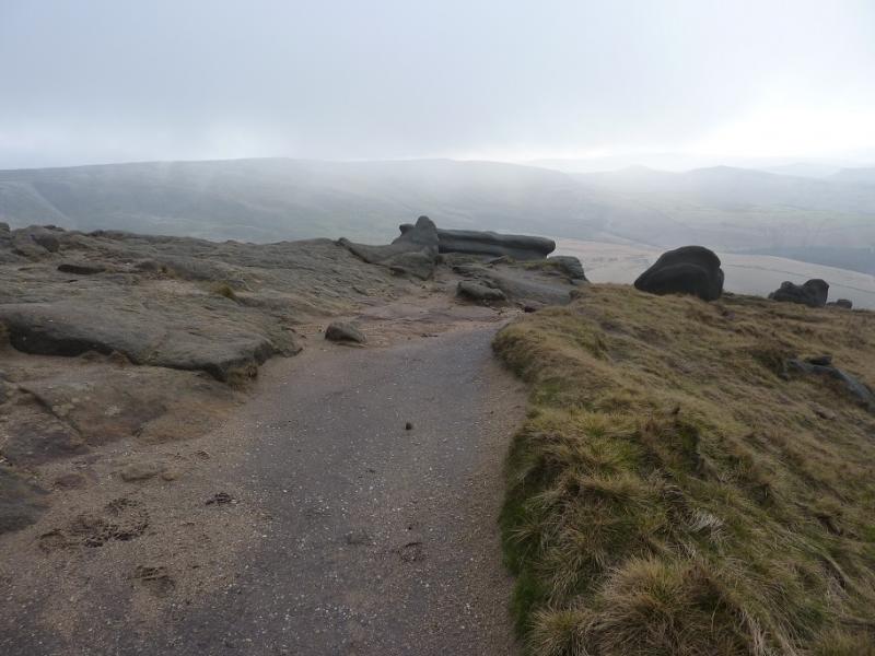
(4) From the trig point return to the stile then follow the fence the other way. It turns at right angles then meets the edge path soon after and this can be followed to the downfall. In just over 2 km from the NW corner, the edge path cuts into the plateau to reach Kinder Downfall with cliffs either side. Cross the River Kinder easily and follow the edge path again, this time S, for about 1 km, to reach Red Brook which is a smaller version of Kinder Downfall. As Red Brook is approached, look for a small boulder on the ridge, beyond Red Brook, projecting towards Kinder Reservoir.Just after Red Brook, leave the main edge path and slant right onto a lesser path then slant right again on to an even lesser, but still distinct, path which generally heads W down towards Kinder Reservoir but it does meander a lot, mainly to avoid rocky areas. The path passes very close to the small boulder mentioned above. Lower down, the path crosses a short fence (stile) between two sections of wall and is now clearly heading towards the trees on the S side of Kinder Reservoir which are fairly close. The path aims for a corner of a fence and wall and crosses the stream by stepping stones. In very wet weather, a very short detour (10 – 20 m) upstream may be necessary to cross. Turn right and soon reach a gate with a notice for those coming the opposite way. Walk down the side of the wood on a grassy track which comes out on a road where there is a bench to sit down on!
(5) Just to the right of this bench is a stony bridle path which drops down to a bridge over the River Kinder then reaches a road soon after. Go right and take the cobbled path for White Brow on the left of the large metal gates. Follow the path up, into the trees, ignoring a reverse fork with a level grassy path. Later on there is a gap in the stone wall on the left, with another reverse fork which is a more obvious stony path which climbs up the hill. When this path levels off, a chimney will be seen to the right which is on top of a large white “shed” next to another smaller “shed”. Continue ahead, ignoring the track heading for these sheds and soon reach a sign post. Turn right on an obvious path signed for Glossop via Car Meadow and also saying “Do Not Trespass” but it is dated 1906!. Almost immediately, this path crosses a bridge over boggy ground. Continue, skirting around The Knott on its W side. The stony path is level for some distance before descending gently to the foot of Hollingworth Clough, crossing the stream by a wooden bridge. Just before the path meets the road, it joins another track. Turn right on to this track and follow it uphill, shadowing the road. Ignore any turns which go away from the road and eventually reach the road at the turning for Charlesworth. Walk down the road for about 300 m to reach the Grouse Inn then a further 300 m to the car park.
Notes
(a) This walk took place on 25th June, 2013.
Photos - Hover over photo for caption. Click on to enlarge. Click on again to reduce.