Get Lost Mountaineering
You are here: Scotland » 01 South of Oban to Stirling and Fife » Loch Earn to Loch Tay
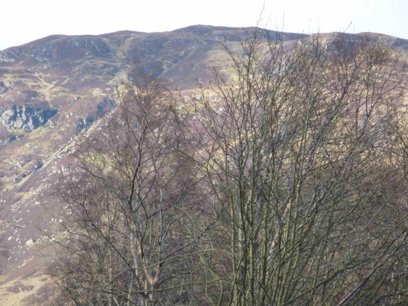
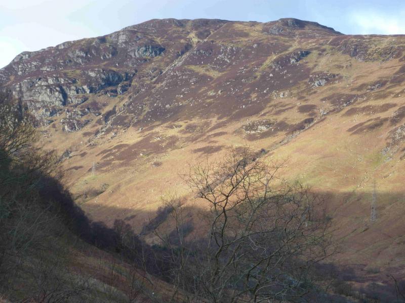
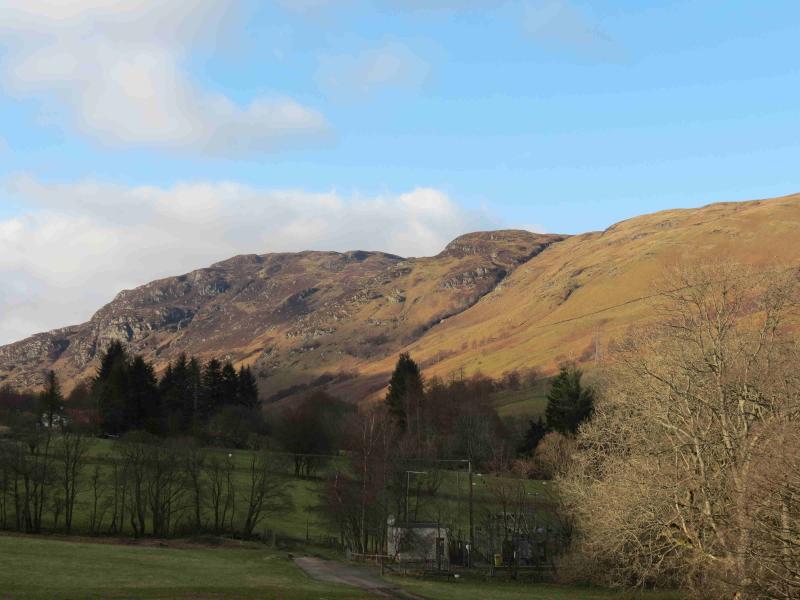
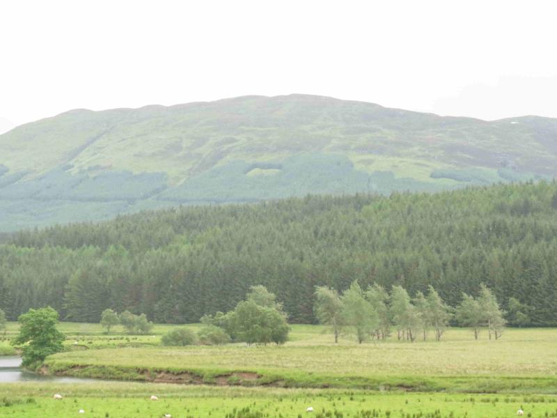
Meall Buidhe from Glen Ogle
Meall Buidhe, Glen Ogle from Glen Ogle car park
Start/Finish
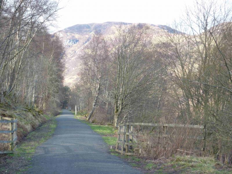
Glen Ogle car park at NN 558 287 on A 85 road from Crianlarich to Lochearnhead. From the Killin turning, drive up Glen Ogle. The car park is on the left and well sign posted as a nature trail starts there and a cycle route passes through. There is often a “burger van” here. Parking is limited to about 6 cars but the car park is very popular with motor cyclists who often fill it.
Distance/Time
7 km Approx 4 hours
Peaks
Meall Buidhe, 719 m, NN 576 275. OS Sheet 51.
Introduction
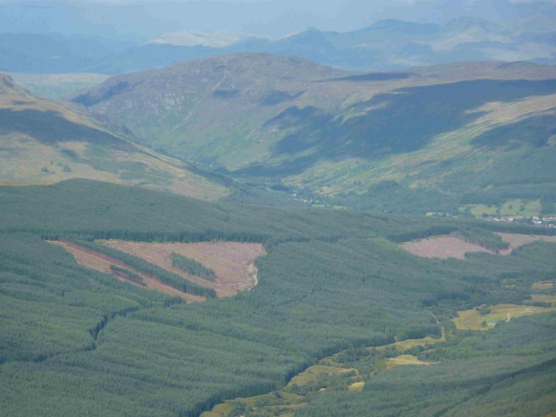
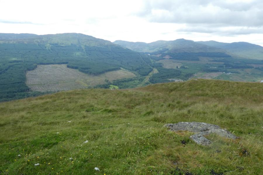
This is a relatively easy Graham to ascend as a good track takes one to about 130 m below the summit and about 1.2 km NW of the top. Whilst this is essentially a high moorland top, the views from it are excellent and include Meall Ghaordaidh, the Tarmachan ridge and the Ben Lawers range to the N, Creag Mac Ranaich to the W and Meall na Fearna, Ben Vorlich and Stuc a' Chroin to the S. The views dictate that this be ascended in clear weather.
Route
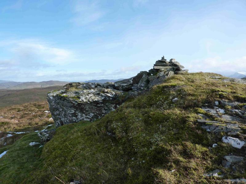
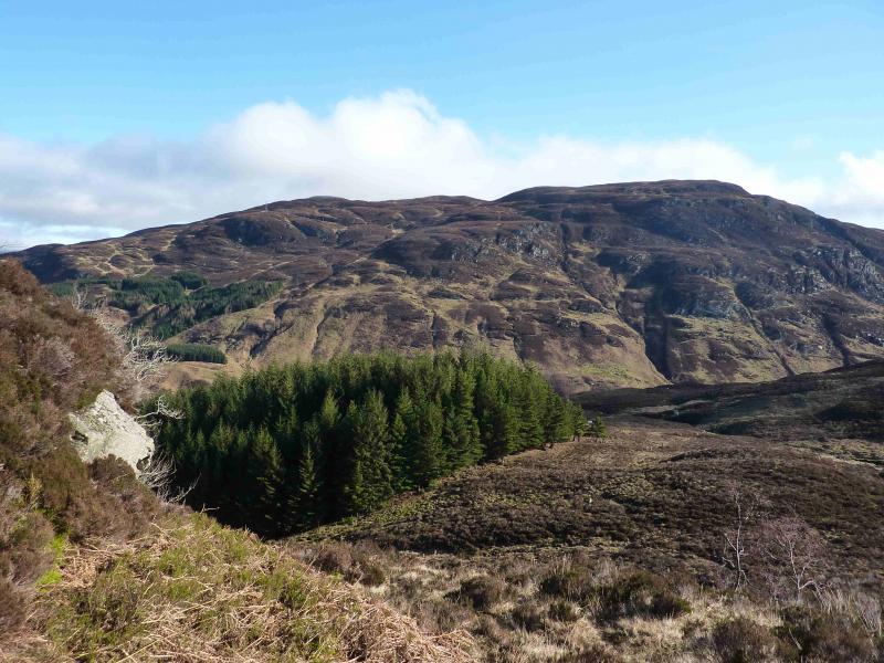
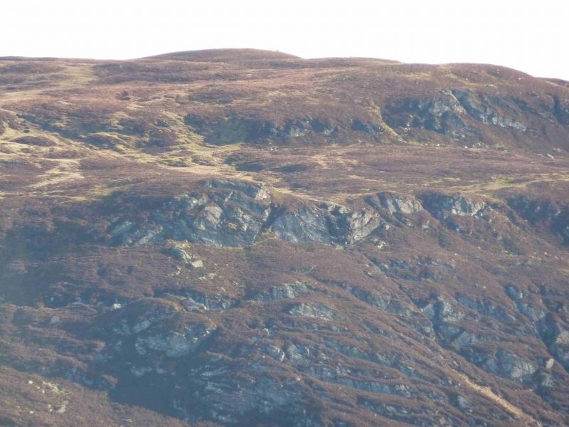
(1) Follow the track up through the forest. The track ends at a large telecommunications aerial at NN 568 283 at a height of 588 m. The aerial sits just above, E, of some significant crags which are well seen from the track below. Cross the grassy gully behind, E, the aerial then walk roughly SE, across rough, often wet moorland to reach the small summit cairn of Meall Buidhe, 719 m. Two other lower cairns lie about 40 m to the S. The summit is, essentially, the largest “hump” on a plateau of humps so careful navigation would be required in mist.
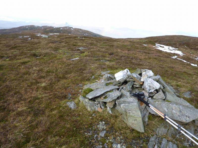
(2) To enjoy even better views to the N, including Ben Lawers, walk roughly N, across a deep (50 m) hollow to reach the S top with a height of 706 m. The small cairn sits on a small outcrop which can offer some shelter from westerly gales.
(3) From the S top, walk roughly W back to the aerial then descend the track back to the car park.
Notes
(a) This walk took place on 11th April, 2009, 18th October, 2011, and 28th March, 2013.
Photos - Hover over photo for caption. Click on to enlarge. Click on again to reduce.