Get Lost Mountaineering
You are here: England » Peak District » Black Hill, Lad's Leap, Laddow, Longdendale, Ravenstones & Dovestone Reservoir
Black Hill & Raven Stones from Crowden
Black Hill & Raven Stones from Crowden
Start/Finish
Free public car park at Crowden which is signposted, about 200 m before, on the W side of the A628 Woodhead Pass. Turn off on to a minor road then left down a curving slope into a medium sized car park. There are toilets close by. If the car park is full, one may have to park on the side of the minor road. Crowden is on the A628, Woodhead Pass road. From the M1, go north past Sheffield and Meadowhall and leave at junction 35A (not 35). Follow the A616 past Deepcar and Stocksbridge (Tata Steel plant). Go through the hamlet of Langsett where there are toilets if needed. Continue to the roundabout junction with the A628 and turn left on to the A628. Follow this up and over the Woodhead Pass. Soon, Woodhead Reservoir is reached. Drive the full length of this, going past the A6024 Holmfirth turning just over the viaduct on the northern spur of the reservoir. The turning for Crowden is about half a mile further. If missed, one may have to drive some distance to turn around. It is about 11 miles from the M1 to the A616/A628 roundabout and just under a further 11 miles to Crowden car park. Note that there is no parking on the main road especially near to where the Pennine Way leaves it. The only sensible place to park is at Crowden. Sometimes, hill races start at Crowden. On such days, you would need to arrive before the runners to have any chance of parking as it gets quite chaotic.
Distance/Time
21 km About 7 hours
Peaks
White Low, 530 m, SE 086 021.
Tooleyshaw Moss, 576 m, SE 080 041.
Black Hill, 582 m, SE 078 046. OS Outdoor Leisure 1: Dark Peak
Introduction
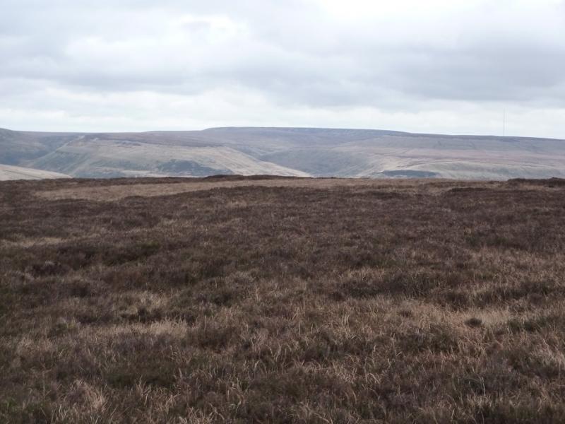
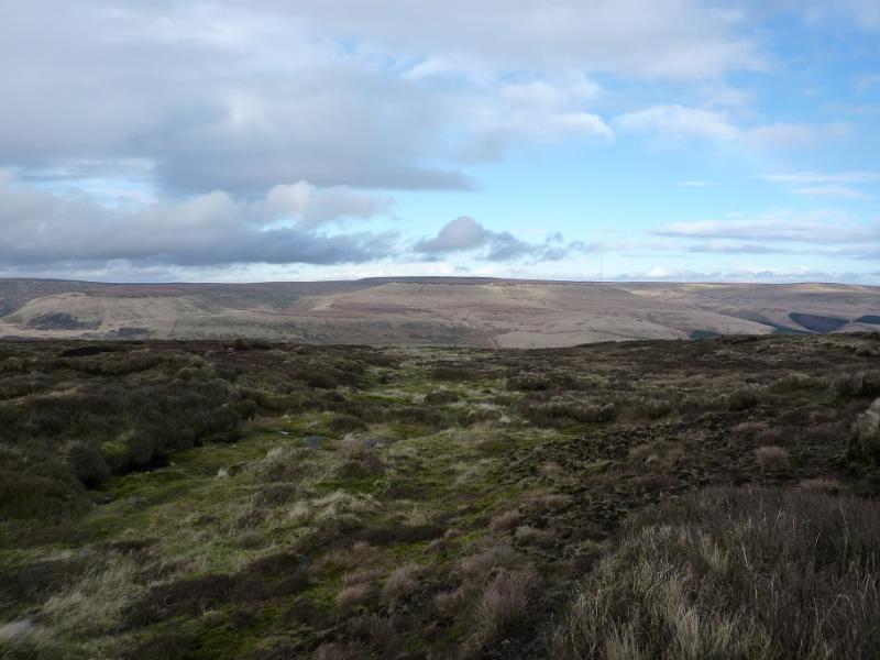
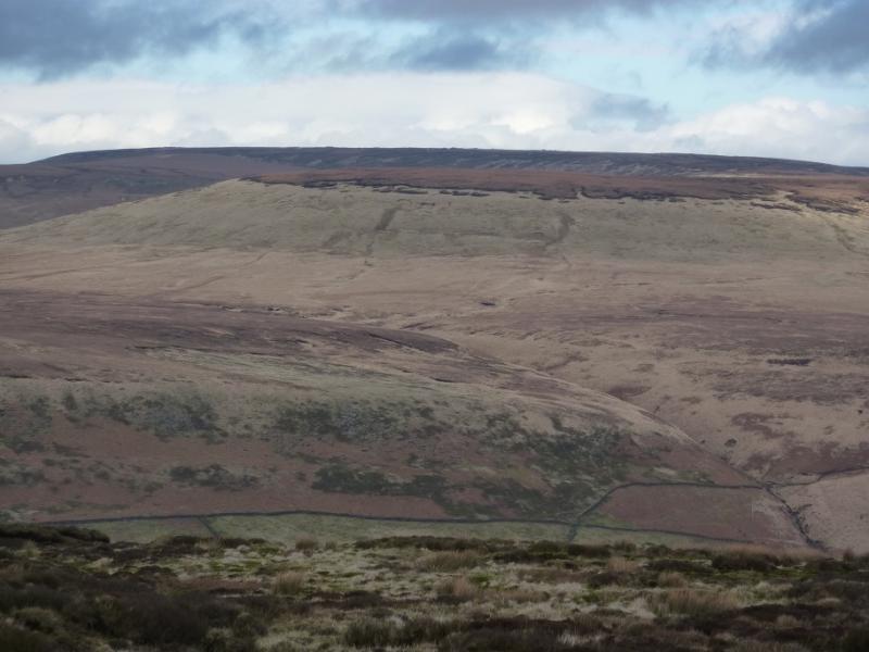
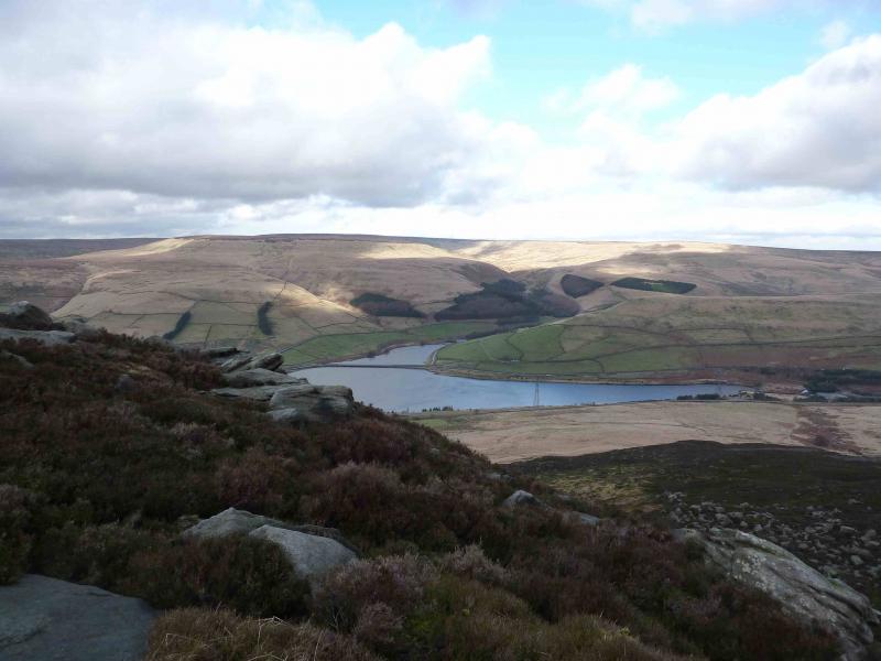
This is a fine, but tough, ridge walk in the Dark Peak which, in good weather has good views of the surrounding Pennine Moors including Bleaklow to the S. The best views are around the Raven Stones area with rocky edges, deep valleys and scenic reservoirs. Some of the going is boggy, even in a dry spell, and gaiters are strongly recommended. It is possible to vary the approach to Black Hill via Crowden Little Brook which misses the worst of the boggy approach.
Route
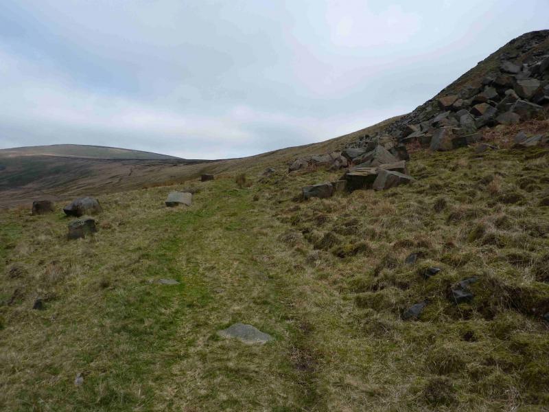
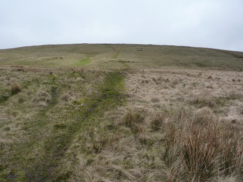
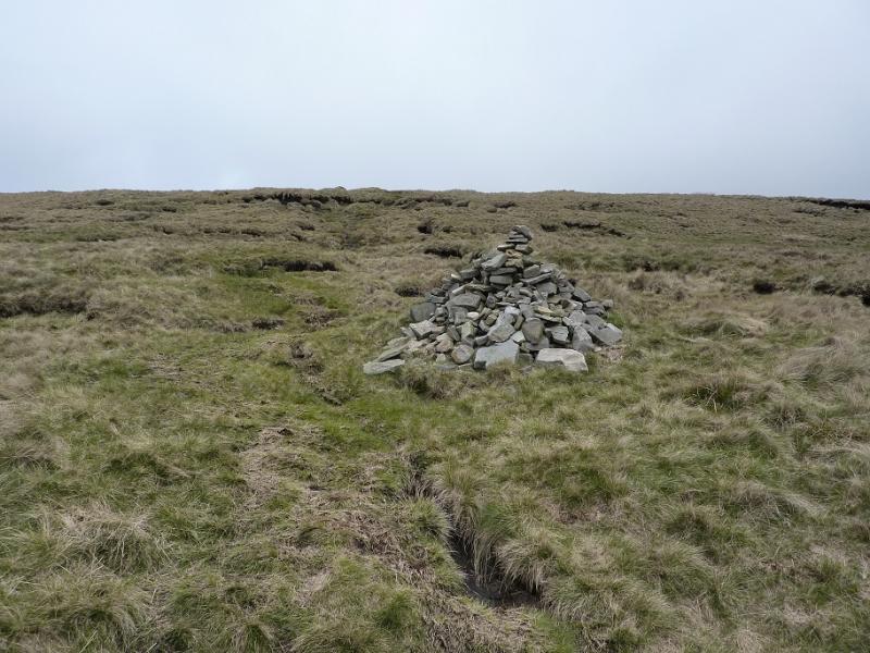
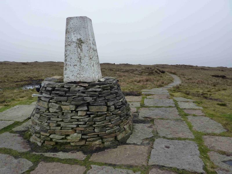
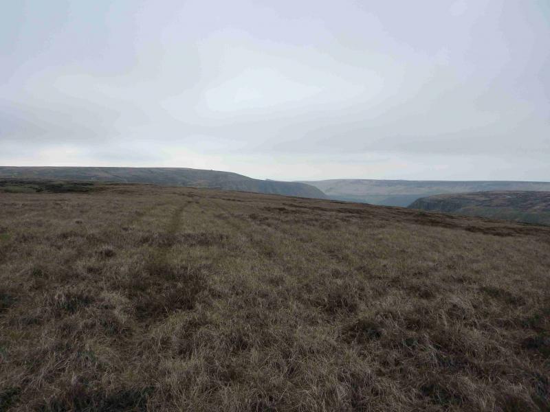
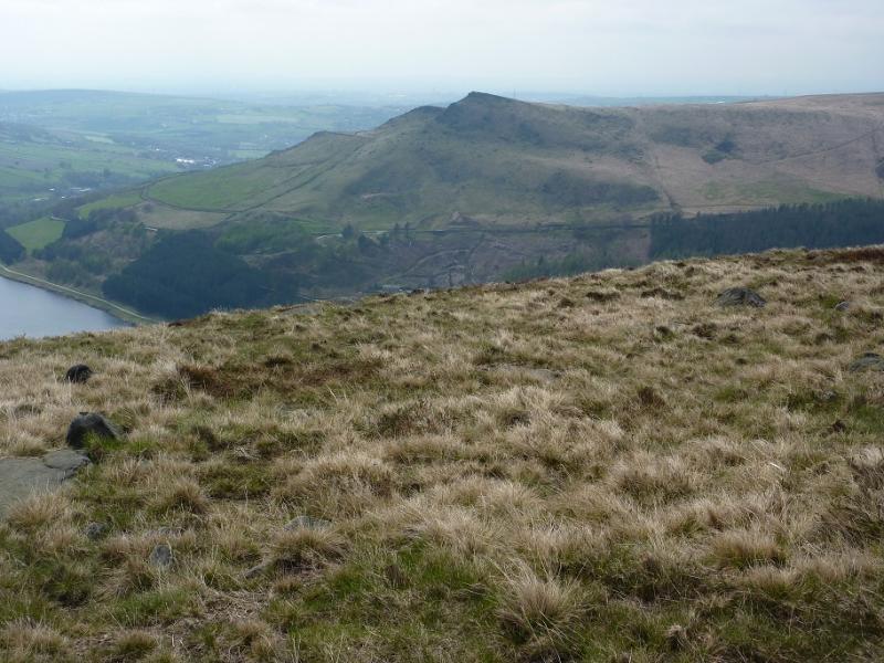
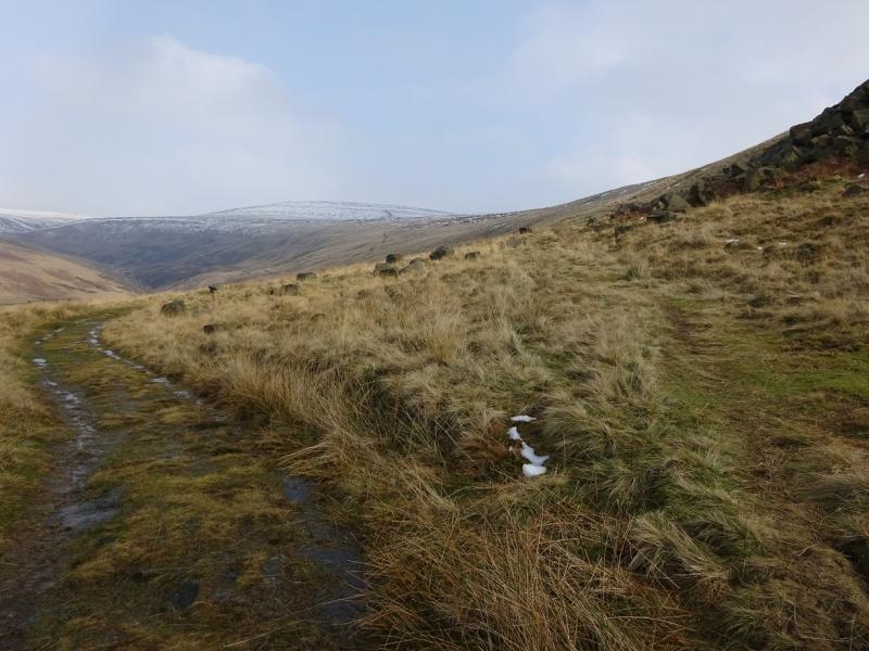
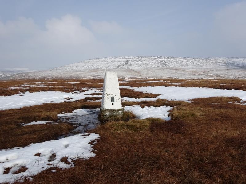
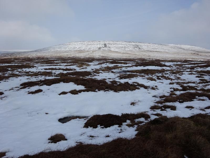
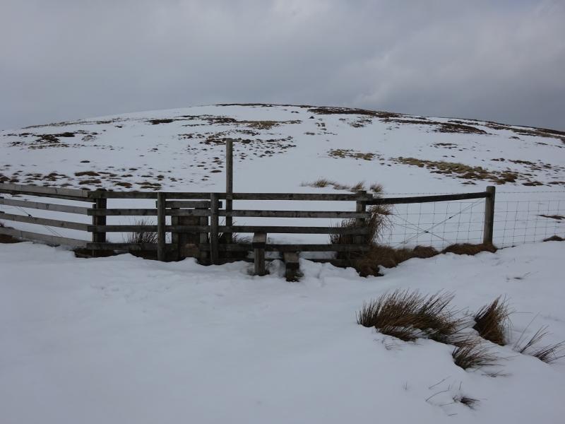
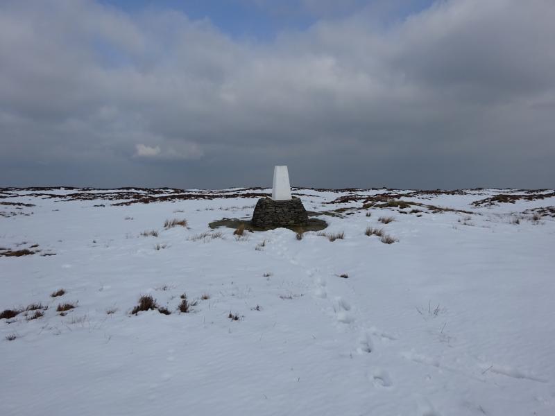
(1) From the car park, follow the sign to the toilets. Turn right at the toilets and follow the good path, by a wall, up the side of the camp site to reach a minor road. Go straight across then fork right on the first track which goes slightly uphill. A stile and gate should now be visible ahead. Cross the stile on to a more grassy track which goes right then left heading straight up the nose of the ridge going N. After about 100 m is another stile and then one is in open country with an obvious path climbing fairly steeply with a wall to the left. When the gradient eases, the path goes past some loose rocky slopes which lies to the right. Soon after, fork right on to a path which heads for the crest above. The path keeps below the crest for some distance to avoid the peat hags. A small cairn is met. Fork right and go on to the crest which is Hey Moss. Follow the path on the broad crest which can be wet and boggy. When the ground steepens, ascend easily, passing some cairns, to Westend Moss and continue to White Low on the fairly distinct path although detours may be needed to avoid boggy sections. Be wary of some old fence posts which are initially helpful but then go off the ridge to the E. In clear weather, Holme Moss TV mast will be a useful guide but it actually lies off the ridge to the E and will be passed well before Black Hill. The path continues with frequent detours needed to avoid the bogs. Further on, in a shallow dip, is a fence with a stile. Cross this and ascend easy, but boggy, ground. When the ground levels off, the going improves on a good grassy path with the odd cairn and reaches a large pointed cairn. In clear weather, the trig point is visible from here, about 500 m away, on a bearing of 328 degrees, roughly NNW. Continue but the ground soon becomes very wet and boggy necessitating substantial detours before reaching the leaning trig point on a circular stone wall “plinth”. The paved Pennine Way comes in from the SW to the trig point which marks the summit of Black Hill, 582 m.
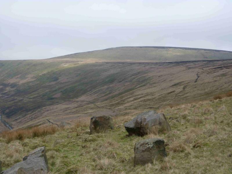
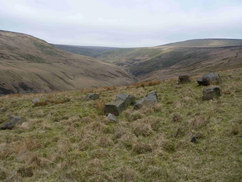
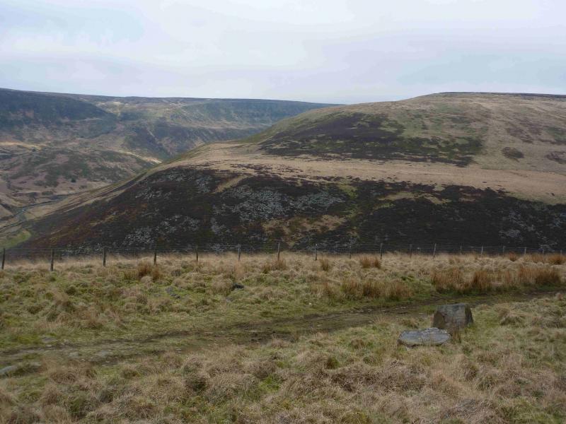
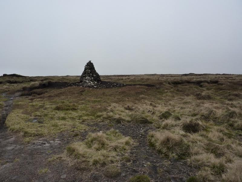
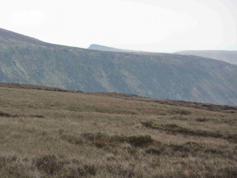
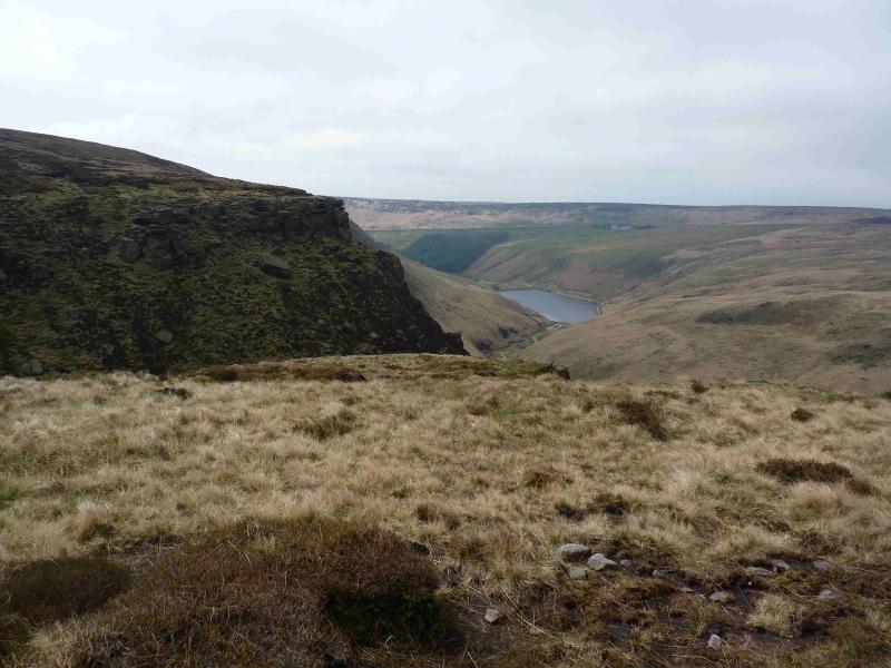
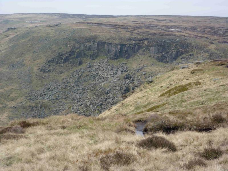
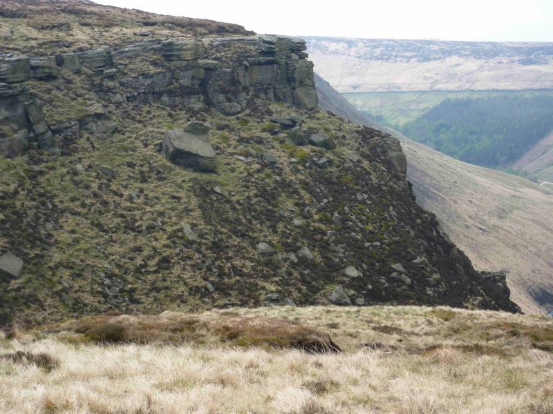
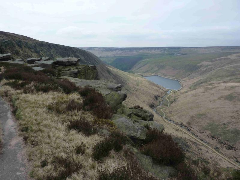
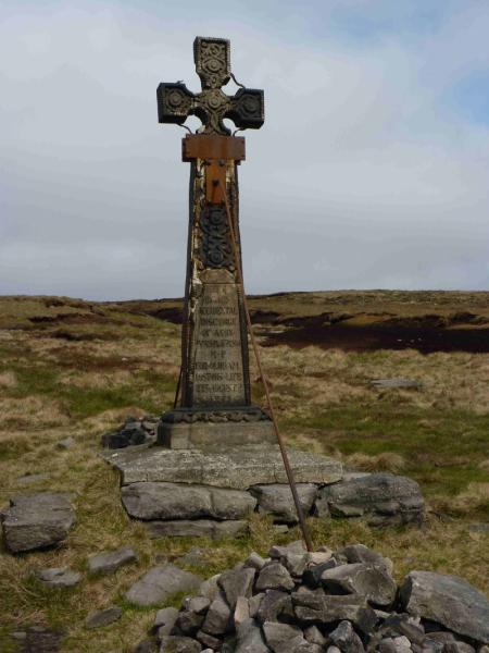
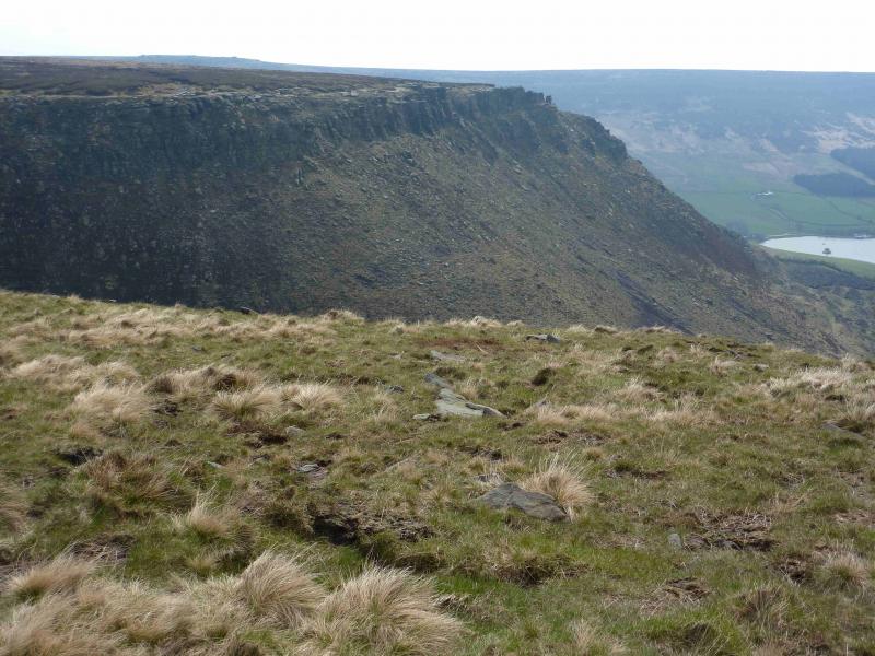
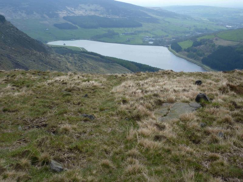
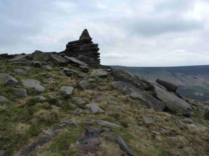
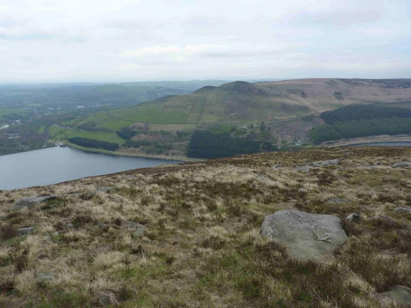
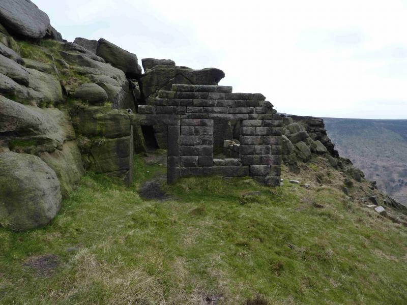
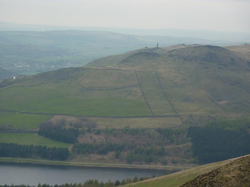
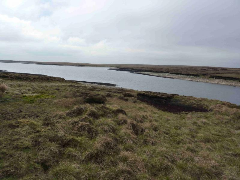
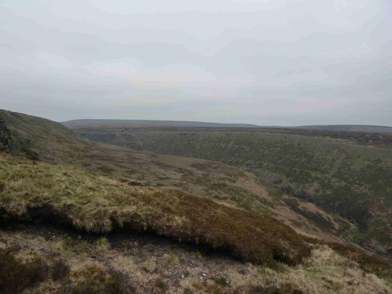
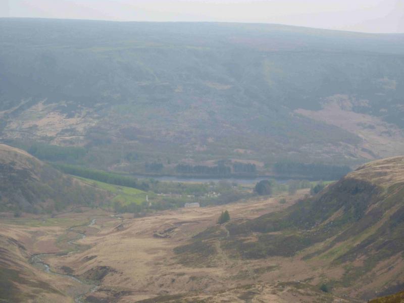
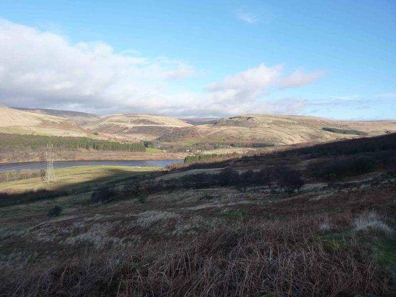
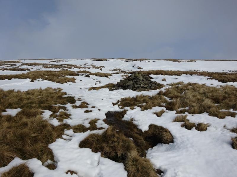
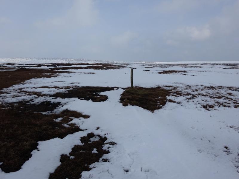
(2) The area around the trig point is extensive featureless plateau and even in good weather, there are few reference points so set the compass to 280o. Soon, one should pass by a mound with a boulder shaped lump of peat on top. There is a cairn next to this which is the start of a line of cairns roughly following the bearing but slightly N of it. These take one off the plateau and a faint path appears. The last cairn is very small and not much further is a very short L shaped wall, only about 4 m long. Ahead is a vast featureless area with lots of shallow gullies. The faint path continues down the left side of a shallow gully/stream crossing it lower down. The path continues to a fairly wet gully. Cross here and come out slightly right where there is a low T shaped post. Soon after the path fades away. Keep walking on the bearing. If clear, a triangular shaped (partly hidden) peak may be seen in the distance which can be aimed for. It should soon become apparent that there is a major gully, Holme Clough, into which all the minor gullies are flowing. The bearing will soon lead one to cross upper Holme Clough. This should not be difficult as the stream is only about a metre wide or less. Continue on the S side of Holme Clough keeping well above the clough itself on rough tussocky grass. There are some faint paths and ATV tracks which can be followed from time to time and quite a few gullies are crossed but the going is not as bad as on Black Hill. The further one goes, the more obvious it becomes that there is a cliff on the S side of Holme Clough. Just before this cliff is a deep gully. Walk up this gully, for about 100 – 200 m, looking for the path on its opposite side and trace where it comes down to the gully and cross the stream there on some easy stepping stones. Follow the distinctive path, N, up the other side and around to Raven Stones Edge. In clear weather, a rocky edge will be seen across Holme Clough and Greenfield Reservoir will be visible. Follow the edge W then S on a good path although it can be boggy in places. A large memorial cross will be reached before the path cuts into a prominent gully, crossing a stream on slabs, before coming out again. Continue along the edge, W then S, passing a pointed cairn on an outcrop then a 2 sided derelict stone hut with the other 2 sides being an outcrop. Further on, the edge cuts in again with a very prominent gully. If clear, a road will be seen ascending up this gully. The path has now left the edge and heading roughly NE. It is still distinctive but quite boggy in places. If clear, a building will be seen which is in Chew reservoir. Continue. The path eventually climbs up the side of Chew dam on to the track crossing the dam. Turn right and head for the “building” end (S) to reach the top of the road seen earlier.
(3) Turn left, E, and walk along the track by the reservoir. The track gradually narrows to a path with a few wet sections but it is essentially following the stream which feeds the reservoir. If clear, Holme Moss mast is ahead. The ground ahead is rising gently. The path follows the stream and crosses it many times using a simple bridge the first time. Eventually, the stream disappears but the path continues with the odd cairn before improving with more cairns to reach a fence with a stile which is the highest point of the path. Continue, descending gently (no cairns now!) until the path reaches the edge of a steep valley and another path, the Pennine Way, joins from the left, N. Follow the Pennine Way path, which is quite rough, SE towards Crowden. There is one steeper down section with a stream to cross which would need care in wet weather. Further on, a clump of tress is passed and the path splits. Take the left hand path which is gentler and grassier but rejoins the Pennine Way further on just after a line of trees. The grassy path then properly diverges left so follow this down towards the valley bottom. Lower down, fork right on a path which leads to the outdoor centre. If clear, a “bridge” may be seen from above. Do not head for this as it is a weir. Instead head for the obvious building which is the outdoor centre. Walk through the centre's car park and follow the minor road to the path by the camp site to the toilet block and then to the car park.
Notes
(a) This walk took place on 4th May, 2012.
(b) The walk can be shortened slightly by taking the footpath over Dovestone Moss from the top of Ashway gap but this loses the views from the edge, the going is rough and the path is easily lost.
(c) Once on the high level track above Crowden, one can take the first path after the boulders which leads on to Hey Edge where there is a trig point. From there, a faint path leads along the broad crest to meet the path referred to above.
Photos - Hover over photo for caption. Click on to enlarge. Click on again to reduce.