Get Lost Mountaineering
You are here: Scotland » 01 South of Oban to Stirling and Fife » Ben Lomond, Crianlarich, Balquidder and Trossachs
Stob Garbh, Cruach Ardrain & Beinn Tulaichean
Stob Garbh, Cruach Ardrain & Beinn Tulaichean from Crianlarich
Start/Finish
Rough car park about 30 m up a forestry road which starts from the A85 on the eastern side of Crianlarich almost by the 30 mph signs.
Distance/Time
18 km Approx 8 hours
Peaks
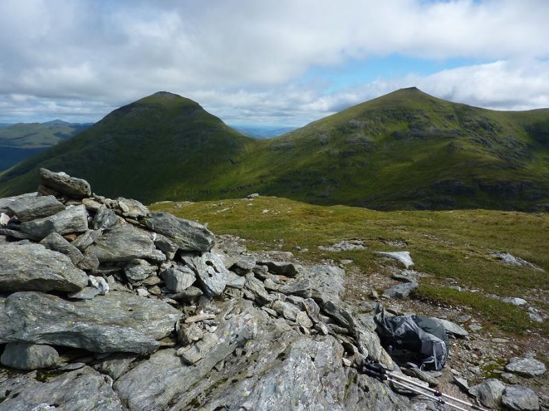
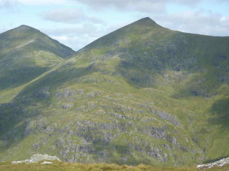
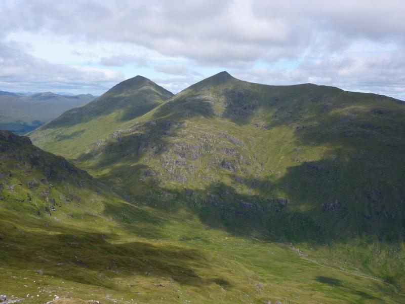
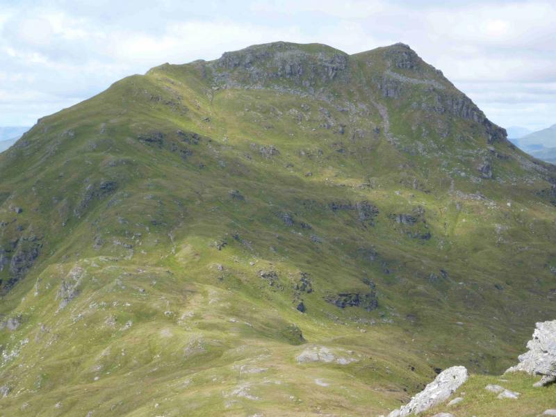
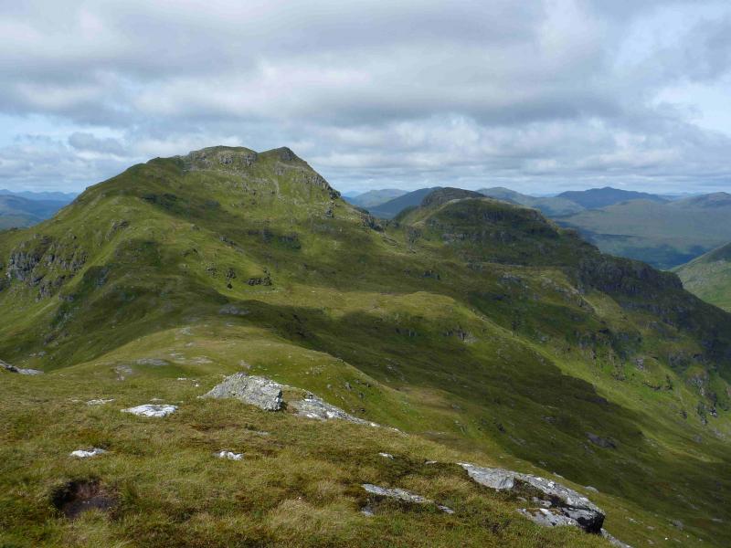
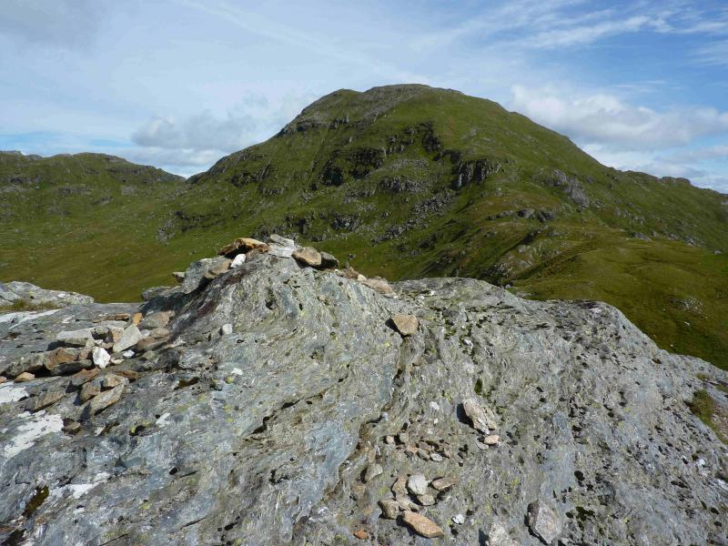
Stob Garbh, 959 m, NN 411 221.
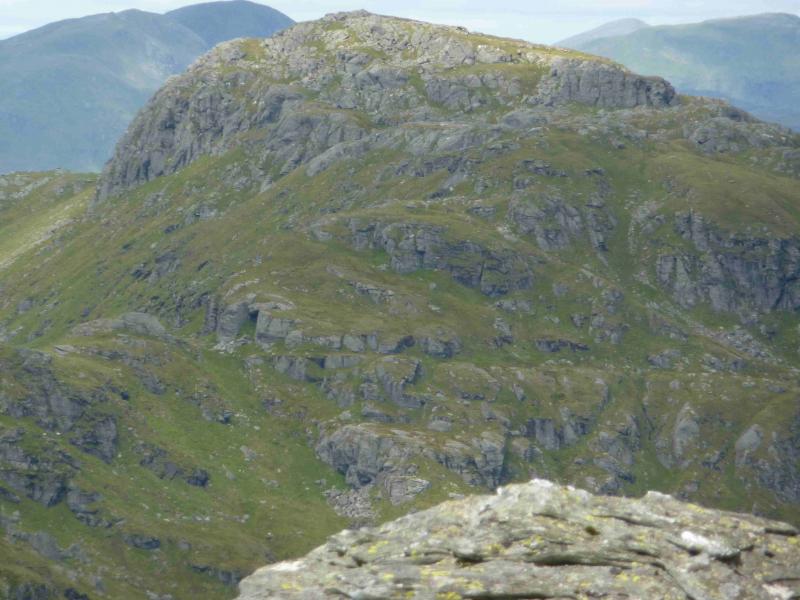
Cruach Ardrain, 1046 m, NN 409 212.
Beinn Tulaichean, 946 m, NN 416 196. OS sheets 51 & 56.
Introduction
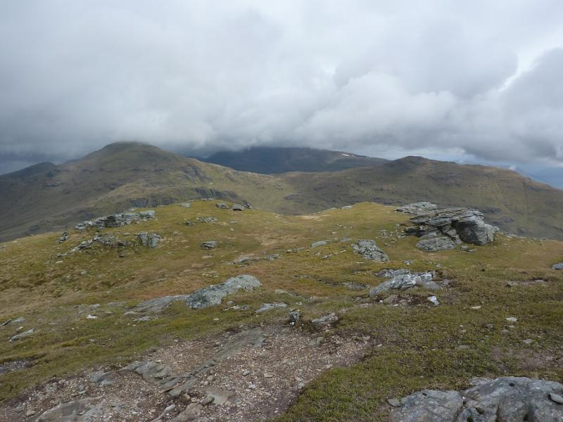
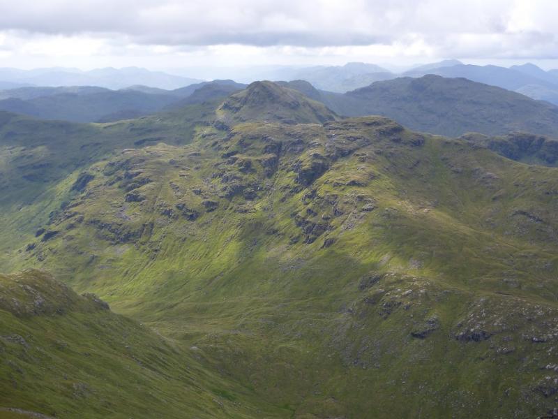
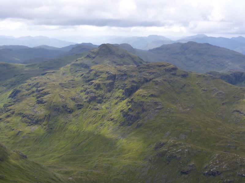
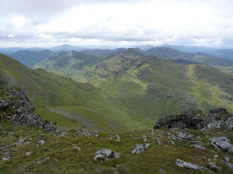
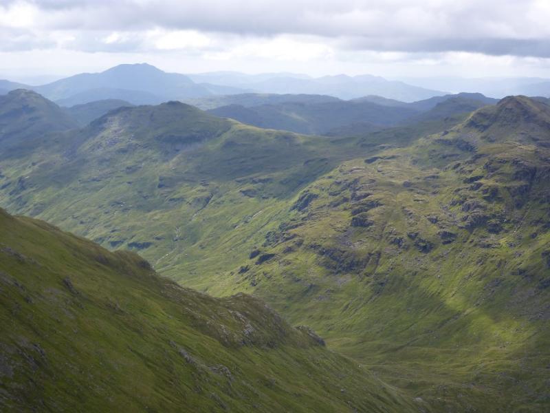
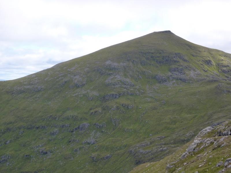
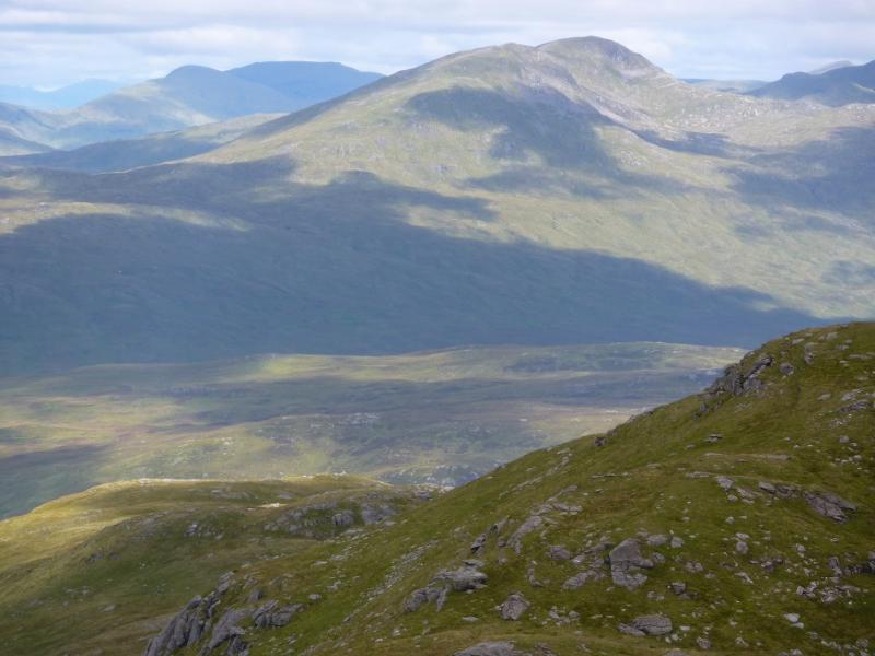
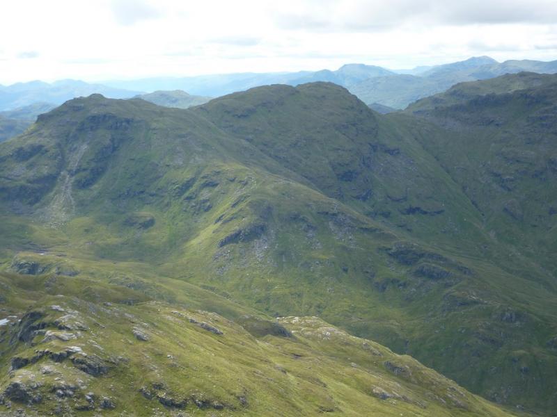
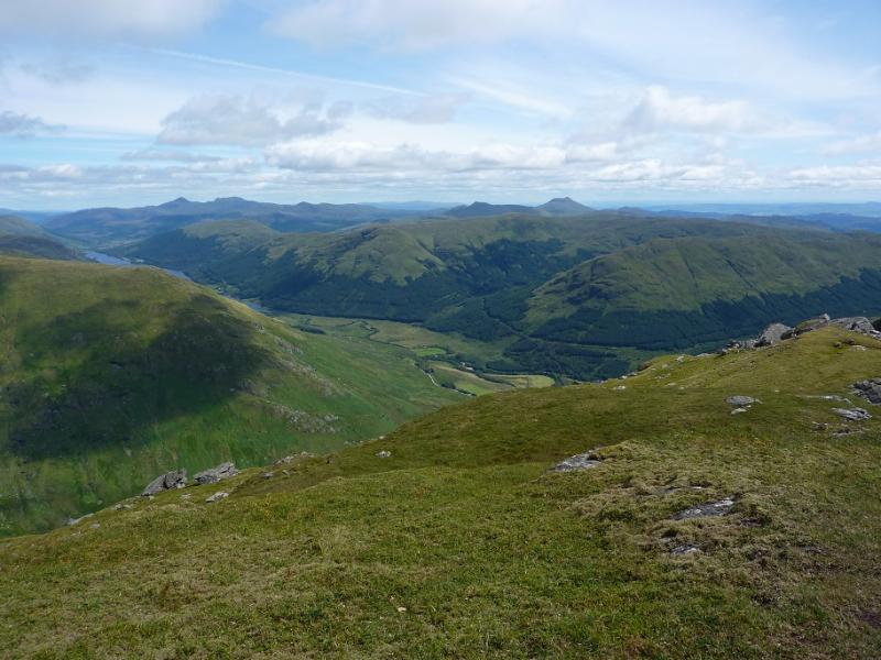
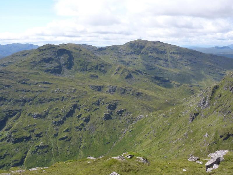
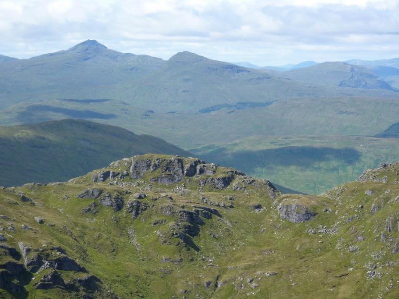
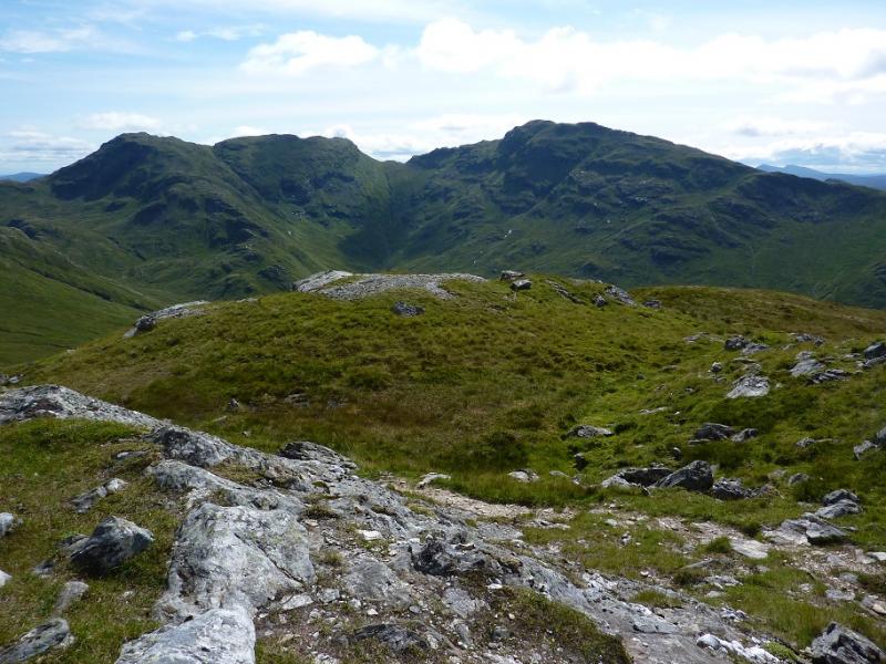
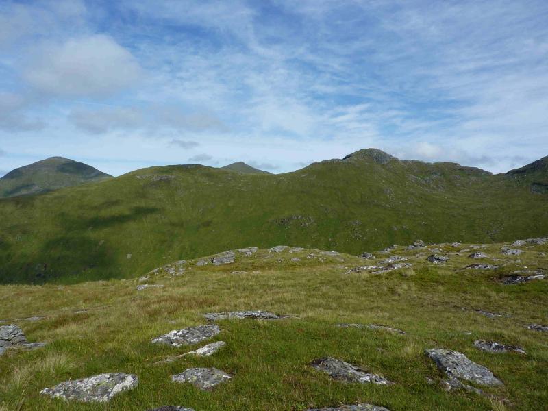
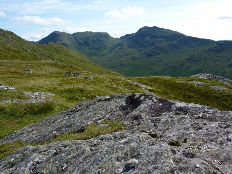
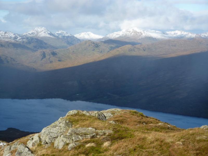
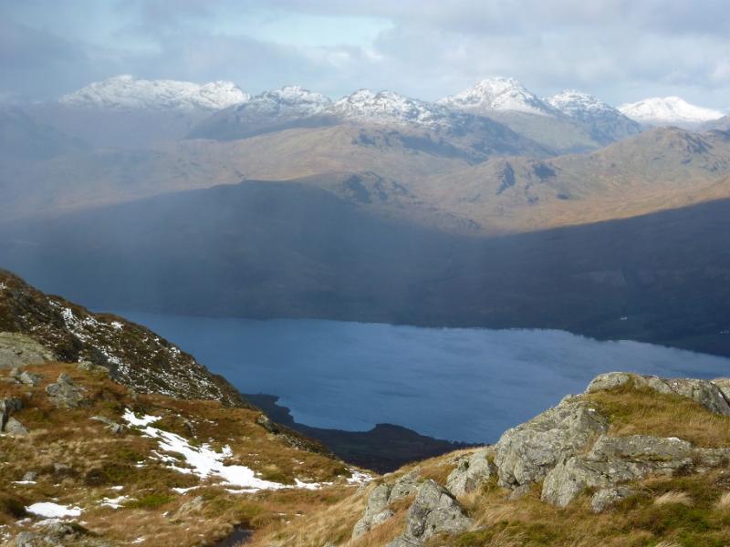
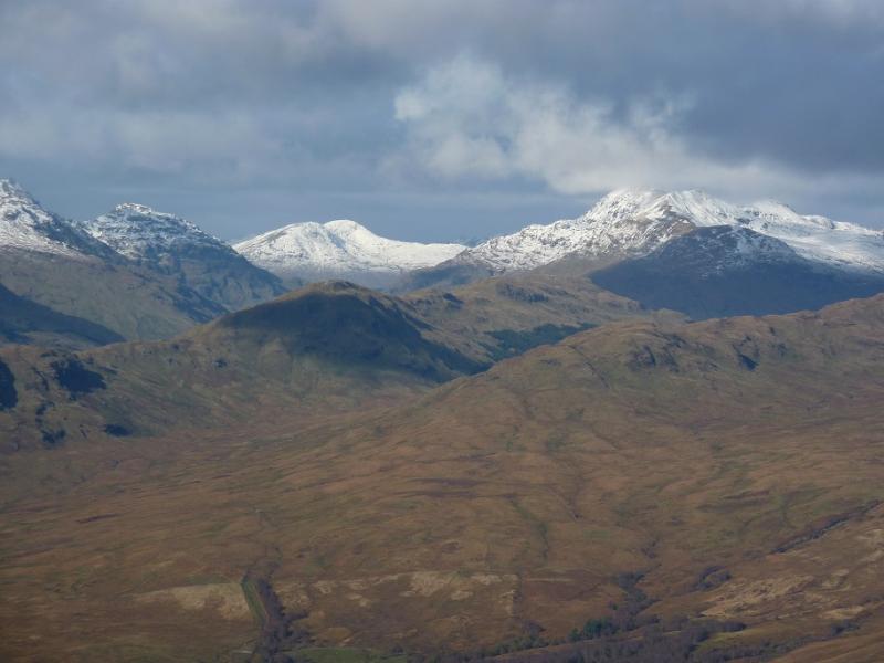
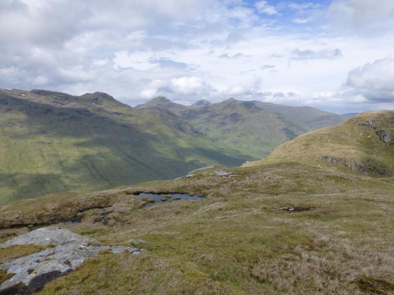
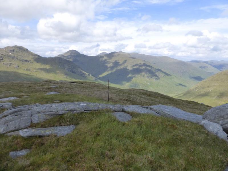
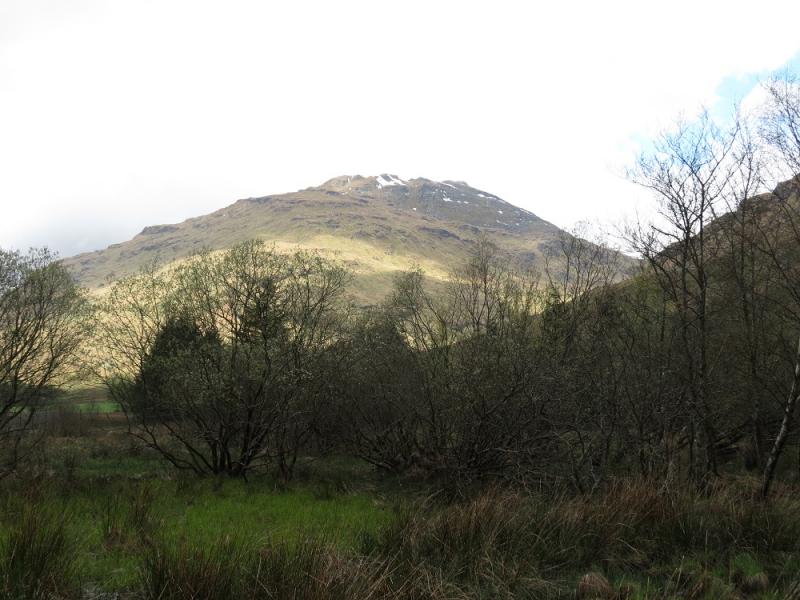
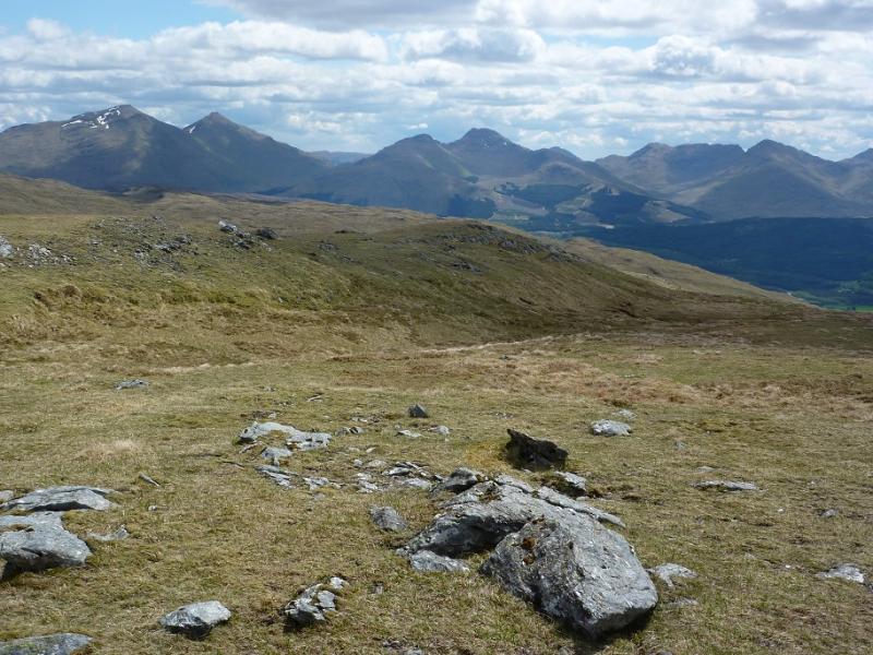
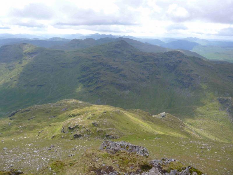
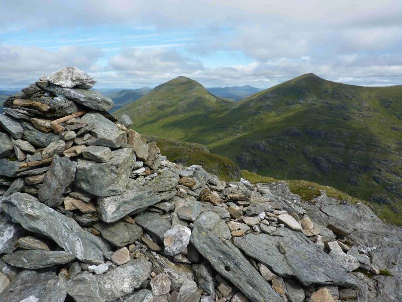
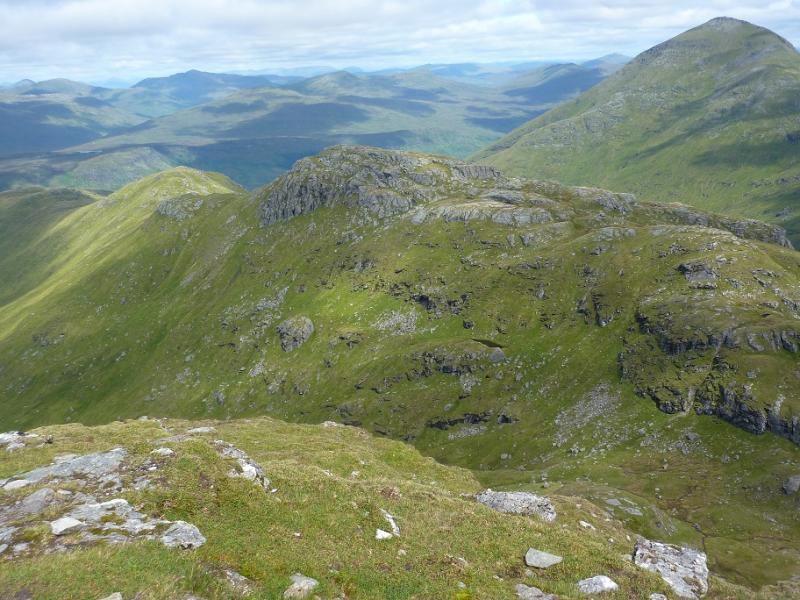
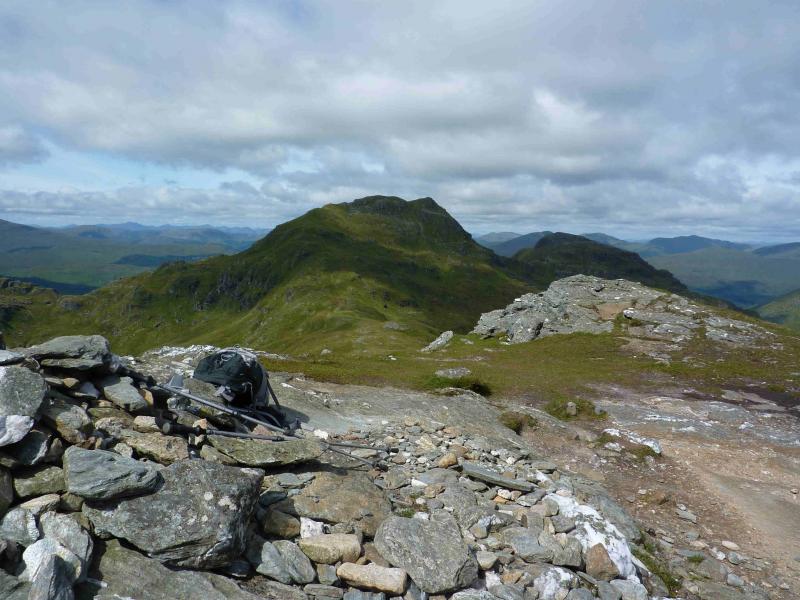
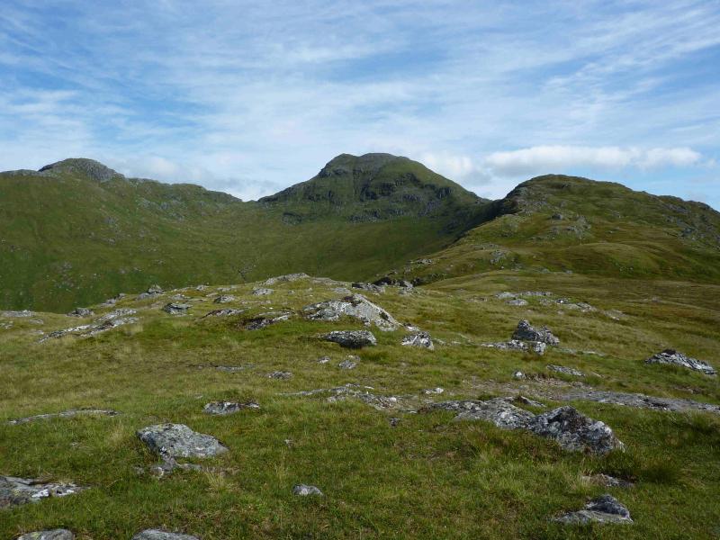
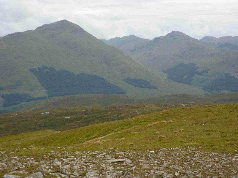
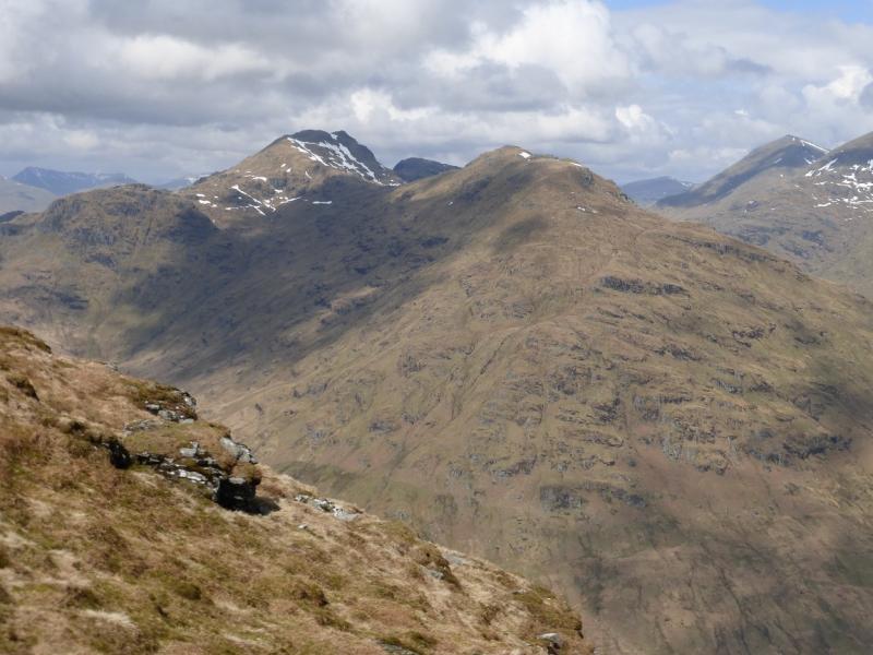
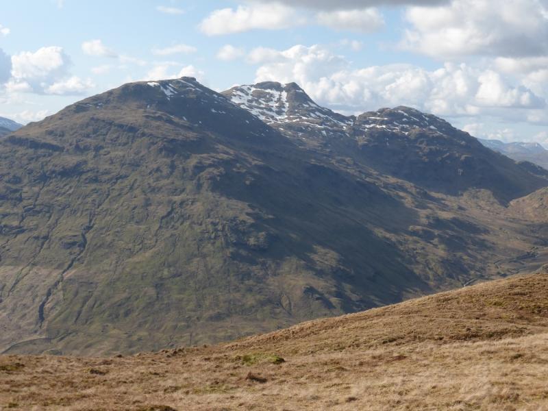
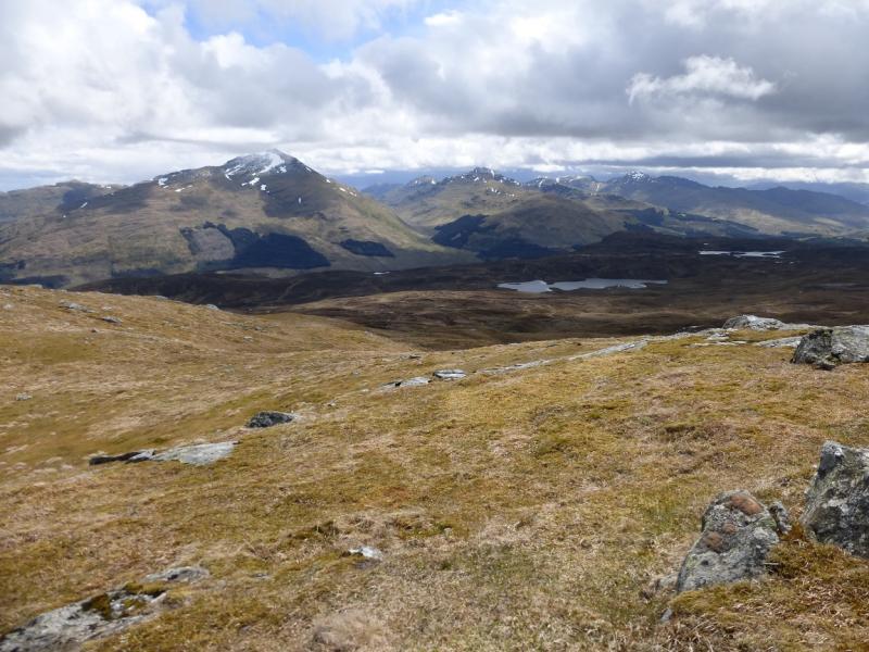
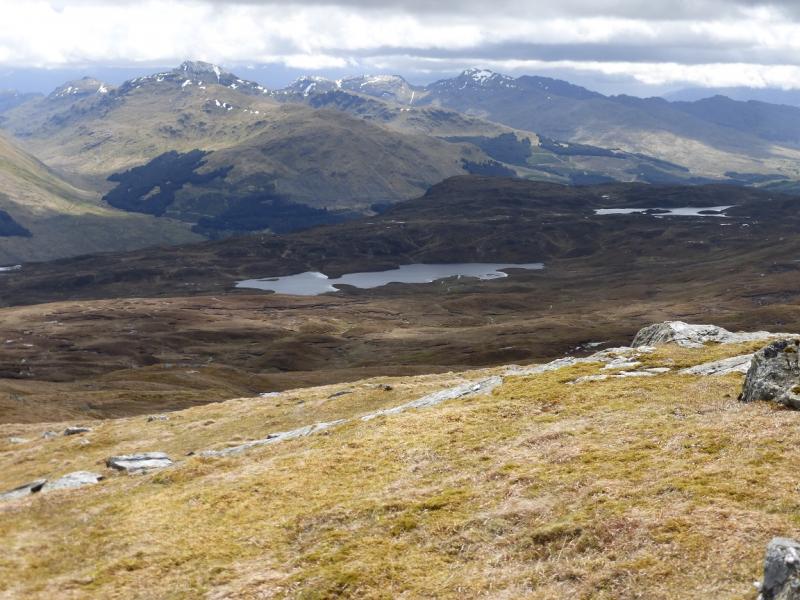
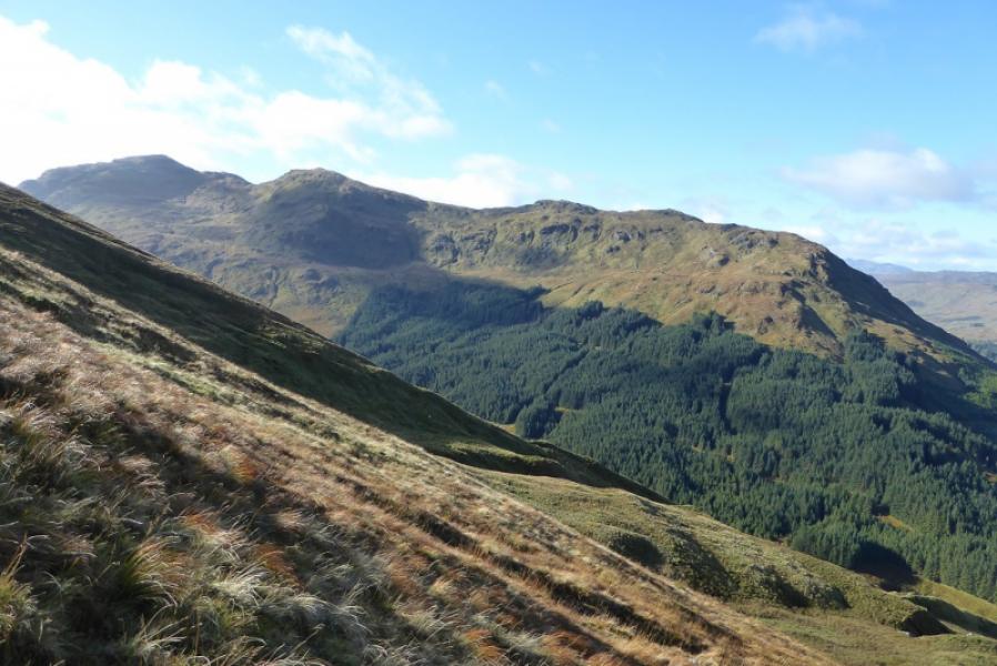
Cruach Ardrain is a fine pointed mountain and stands out amongst the arc of mountains around Crianlarich. It stands at the centre of a letter “Y” with its S ridge going to Beinn Tulaichean, its NE ridge going to Stob Garbh and its NW ridge going over Meall Dhamh to Grey Heights. Naturally, it is a superb viewpoint for the surrounding mountains. There has been much felling and replanting in the forest and the map may not be up to date on this.
Route
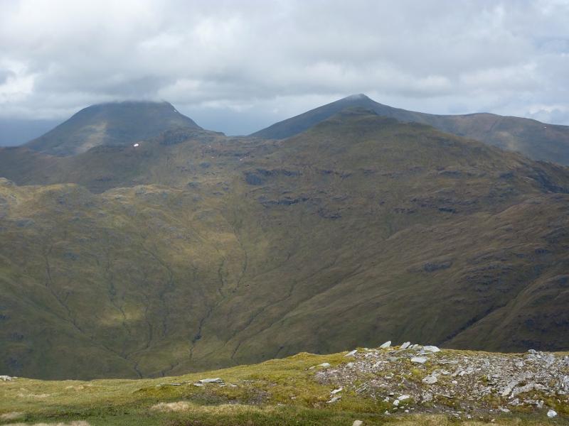
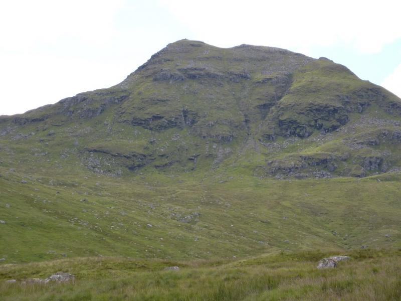
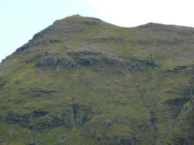
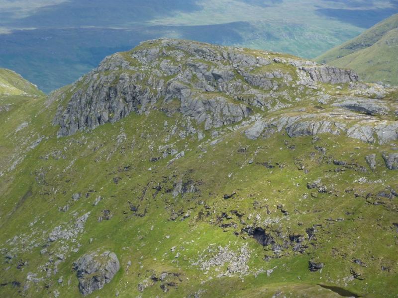
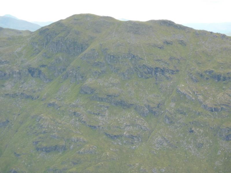
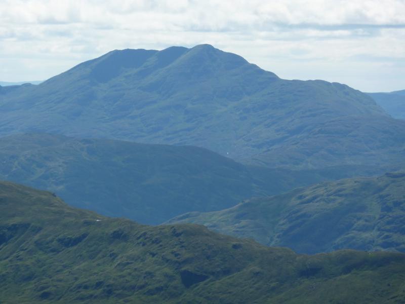
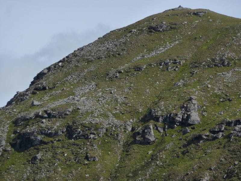
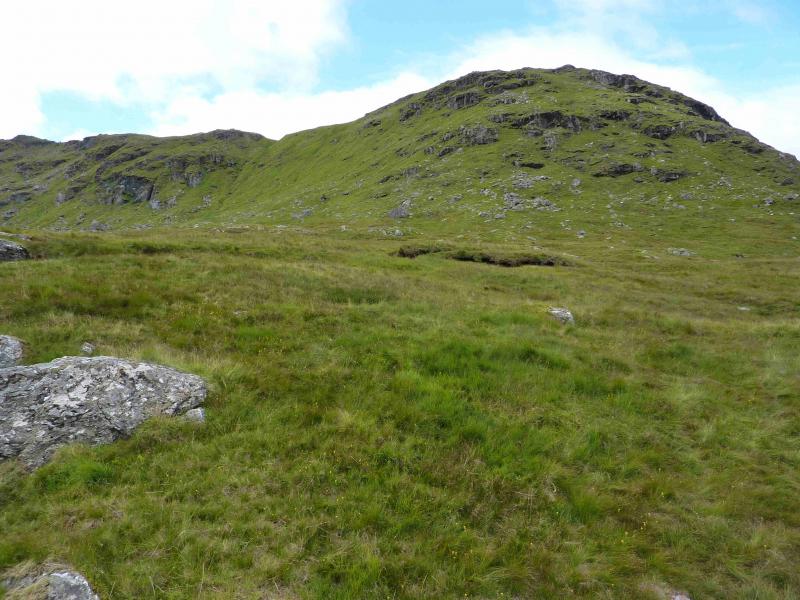
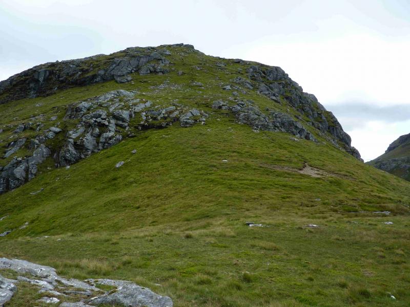
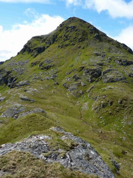
(1) Walk up the forestry road which soon enters the forest, heading roughly S. At the first track junction, turn right, heading SW. At the next track junction, turn left, eventually going SE, still on a good track. This continues to a bridge then beyond. It is possible to cycle to this point. Leave the track just before the bridge, turning right up a short gravelly path. This soon becomes a rough ATV track and can be followed to a stile over a fence. Cross the stile and follow the fence left, roughly SE. When the fence starts to descend towards the river flowing out of Coire Ardrain, leave it and contour around, roughly E. Cross the river, higher up if in spate and ascend steep grassy slopes aiming for the ridge between Stob Coire Bhuidhe and Stob Garbh from where there are good views of Ben More and Stob Binnein. Note that these slopes would be very dangerous under winter conditions where the appropriate winter equipment and experience would be needed for a safe. There are a few small crags and outcrops but these are easily avoided. Once on the ridge, there is a path which leads to the medium cairn which is the summit of Stob Garbh, 959 m.
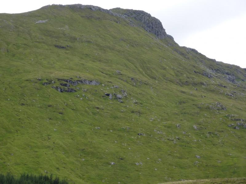
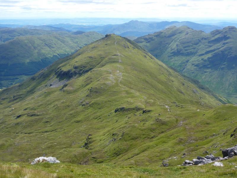
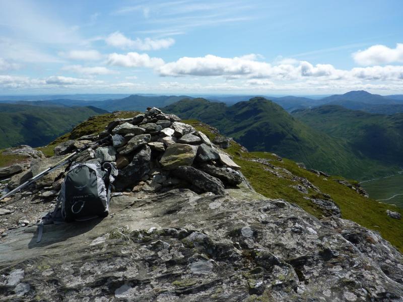
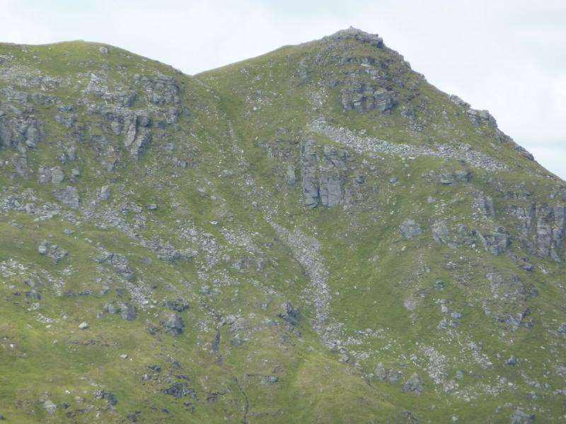
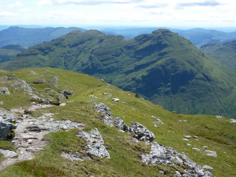
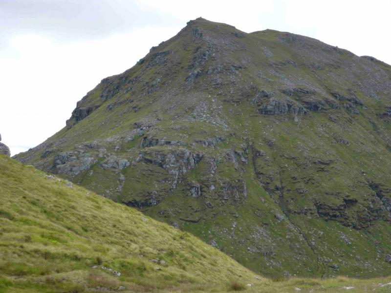
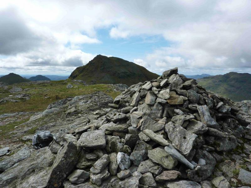
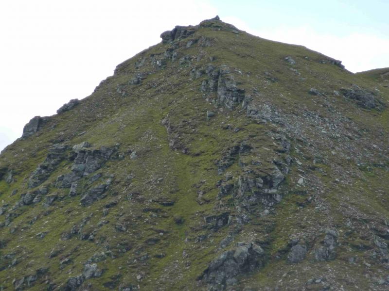
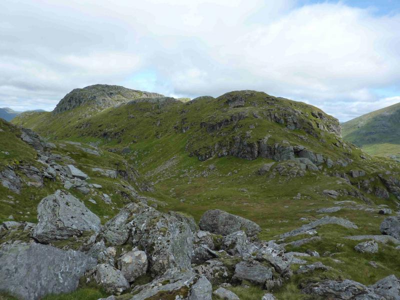
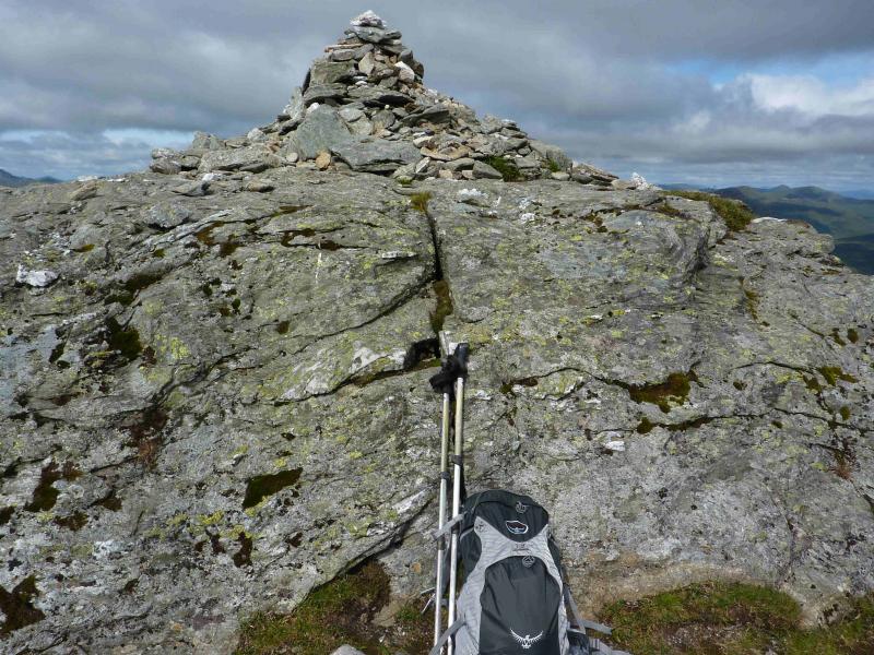
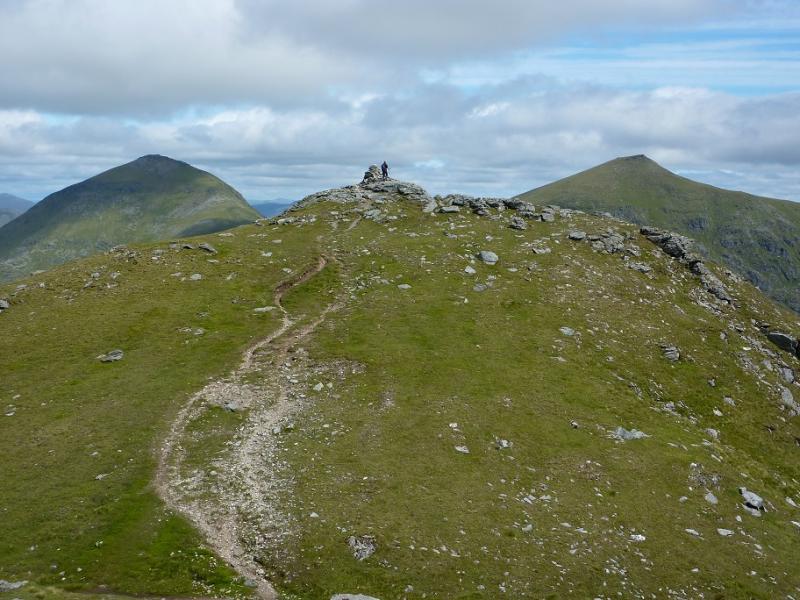
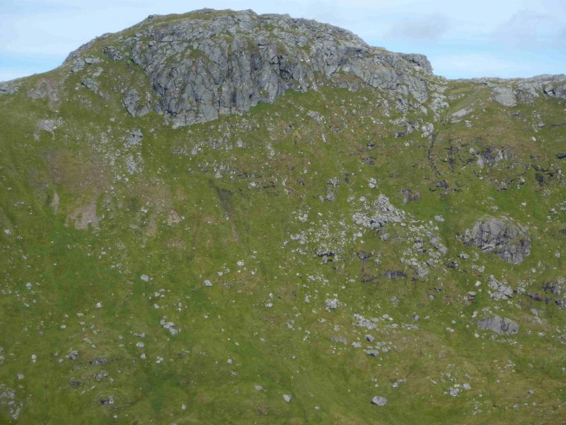
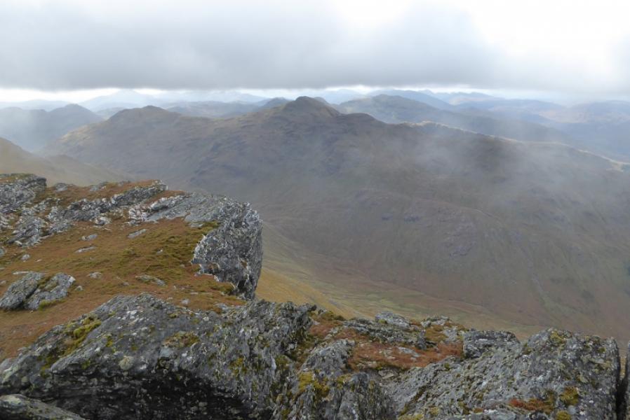
(2) The continuation to Cruach Ardrain is quite complex but should pose few problems in good weather. There is a winding path through the many knolls which eventually leads down to the bealach below Cruach Ardrain. It is well worth locating this path and following it. In poor weather, it is virtually essential. In winter conditions, the path is likely to be hidden under the snow. Just above the bealach, a distinct , but false, branch of the path goes out on to the top of a short cliff so care needs to be exercised. The true path goes around it on the left. Once in the bealach, a distinct twisting and turning path leads up the steep NE ridge of Cruach Ardrain. This ascent would be a major undertaking in winter conditions but is summer is relatively straight forward but should not be taken lightly. The path leads directly to the large cairn which is the summit of Cruach Ardrain, 1046 m.
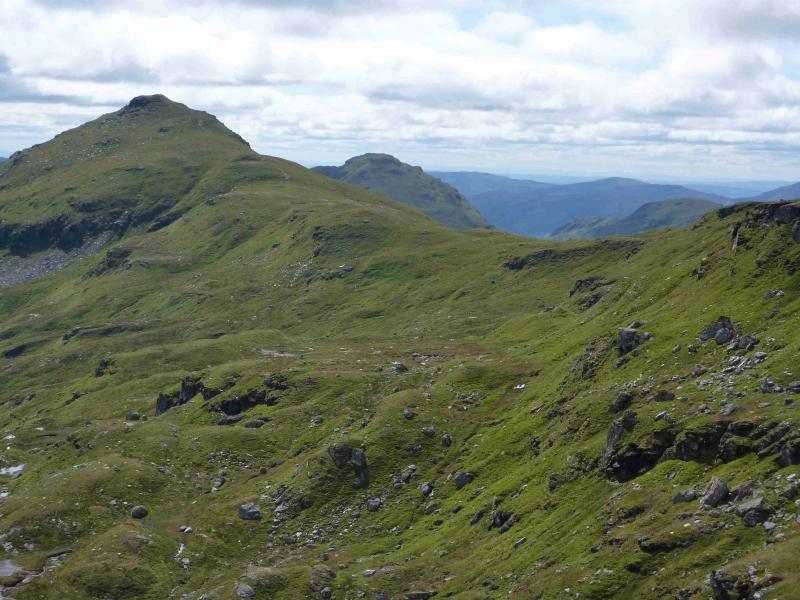
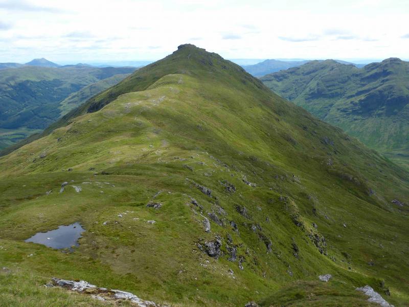
(3) Head SW, across a slight dip to reach the slightly lower SW of Cruach Ardrain. From here a path descends, roughly S, to reach a wide grassy bealach. En route, one may notice a cairn which is where the path from Grey Heights joins this path. Note this point for the descent. From the bealach, a gradual ascent leads to the medium cairn which is the summit of Beinn Tulaichean, 946 m.
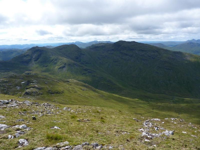
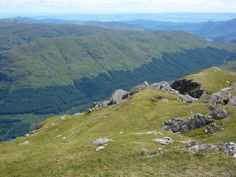
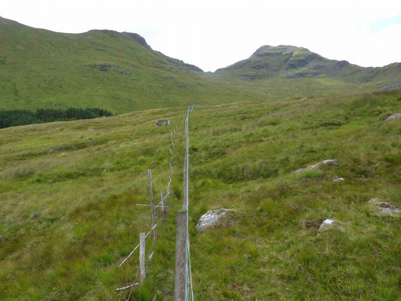
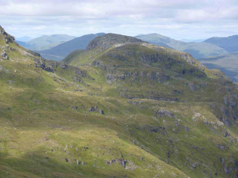
(4) Return to the bealach and reascend Cruach Ardrain to the cairn marking the start of the path (goes off left) to Grey Heights. Follow this path as it contours and descends down to the gap between Cruach Ardrain and Meall Dhamh. In places, the path is quite boggy but there are no real difficulties. Make the short ascent, about 50 m, of Meall Dhamh, 814 m, then continue along the ridge to Grey Heights, 686 m. Both these tops have small cairns. Descend NW, following a path over a stile, then above the forest below on the left. The path becomes indistinct lower down and seems to be heading into a forestry “cul de sac” with old forest on the left and newly planted forest ahead. The next section can be very wet and boggy – see alternative below - but there is a route about 10 – 20 m to the right of the old forest which leads down to a track. Turn right on the track and soon reach the last junction on the outward route. Go straight on, then left at the next junction and follow the track back to the car park.
Notes
(a) This walk took place on 9th August, 2011.
(b) This route would be a very serious undertaking in winter conditions and ice axe and crampons would be essential plus the experience to use them.
(c) To avoid the very wet and boggy descent from Grey Heights, descend roughly NE, over mainly grassy ground, into Coire Ardrain from the gap between Cruach Ardrain & Meall Dhamh. Once in the corrie, walk roughly N to intersect with the fence/stile crossed on the outward route then follow the ATV track back to the bridge on the forestry track.
(d) Some additional archive photos were added in August, 2021.
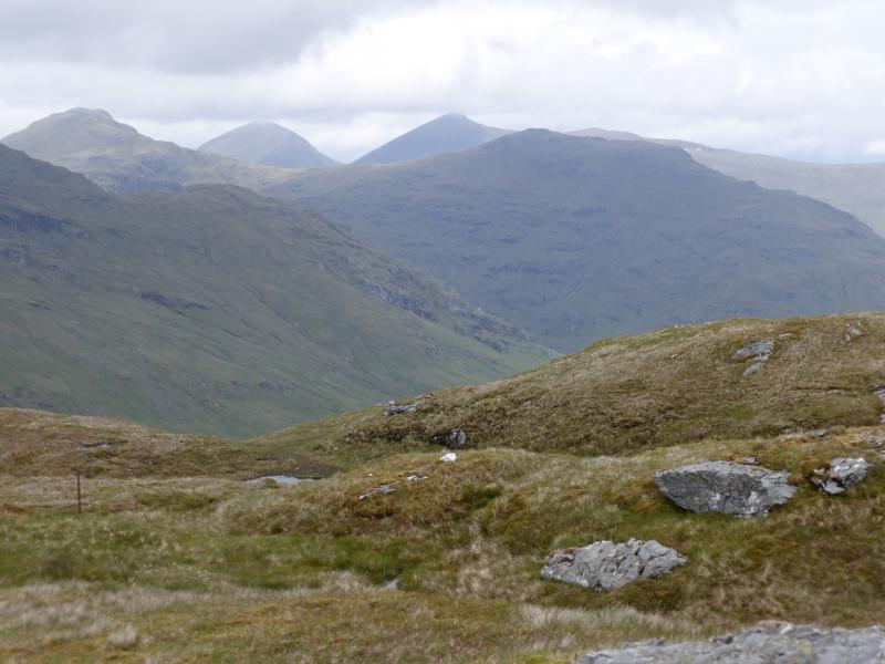
Photos - Hover over photo for caption. Click on to enlarge. Click on again to reduce.
.JPG)