Get Lost Mountaineering
You are here: Scotland » 01 South of Oban to Stirling and Fife » Ben Lomond, Crianlarich, Balquidder and Trossachs
Creag Mac Ranaich & Meall an t-Seallaidh
Creag Mac Rainich & Meall an t-Seallaidh from Glen Ogle
Start/Finish
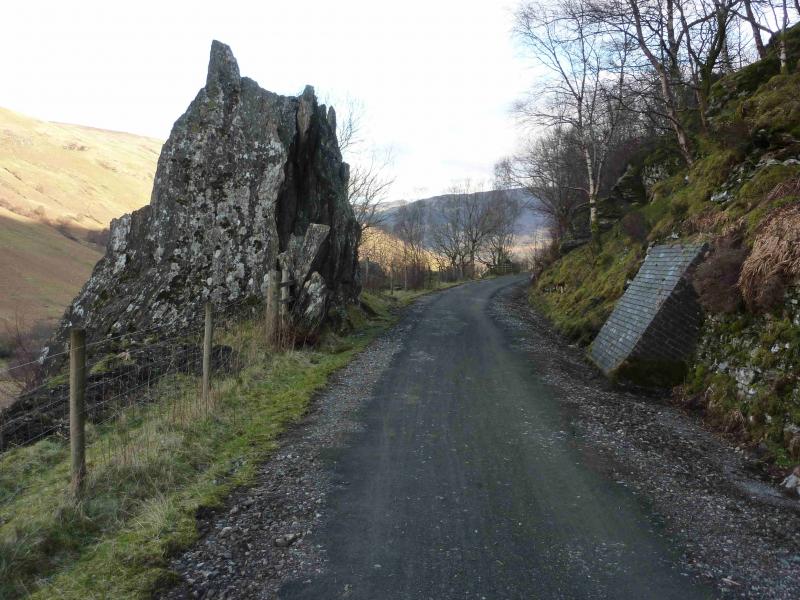
Layby just before Lochan Lairig Cheite at the top of Glen Ogle at about NN 562 276. Glen Ogle starts from Lochearnhead on the A85 Callender to Crianlarich road.
Distance/Time
16 km About 6 hours (with 2 cars, add about 1 hour for 1 car)
Peaks
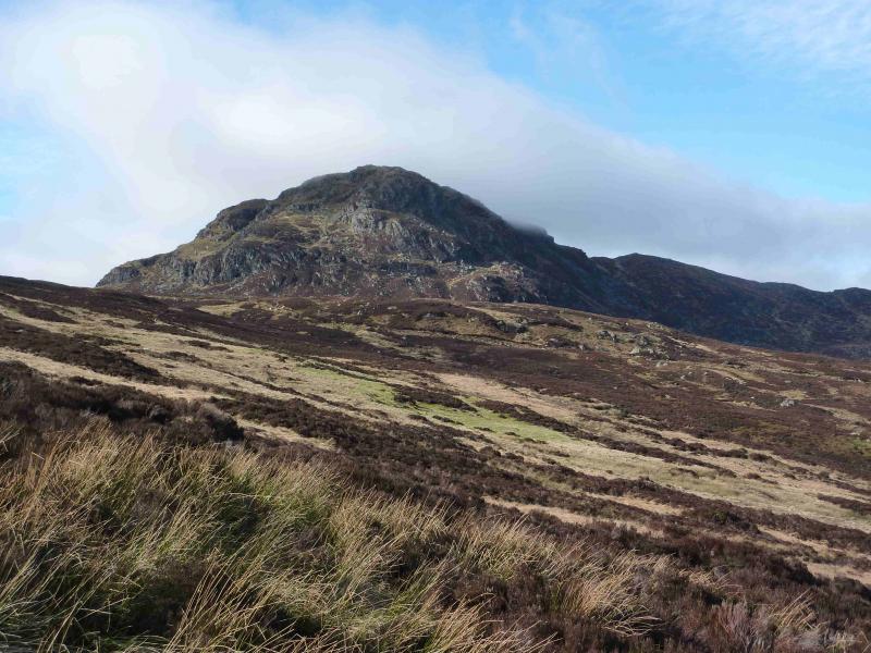
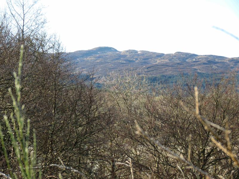
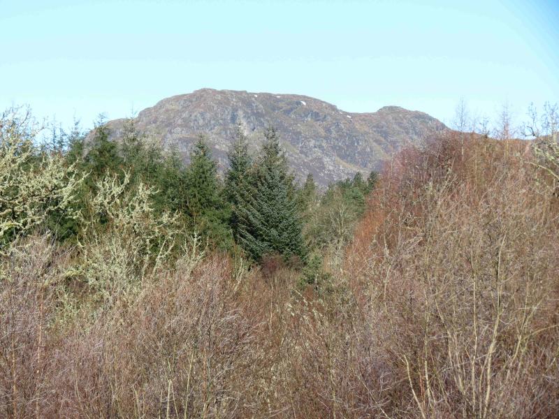
Creag Mac Rainich, 809 m, NN 545 255.
Meall an t-Seallaidh, 852 m, NN 542 234. OS sheet 51
Introduction
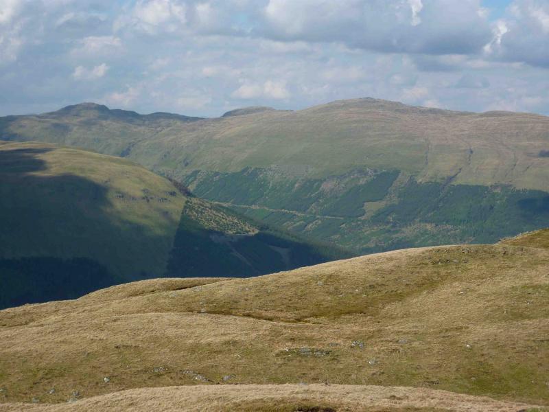
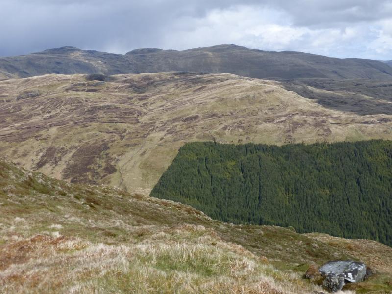
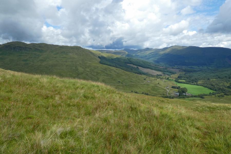
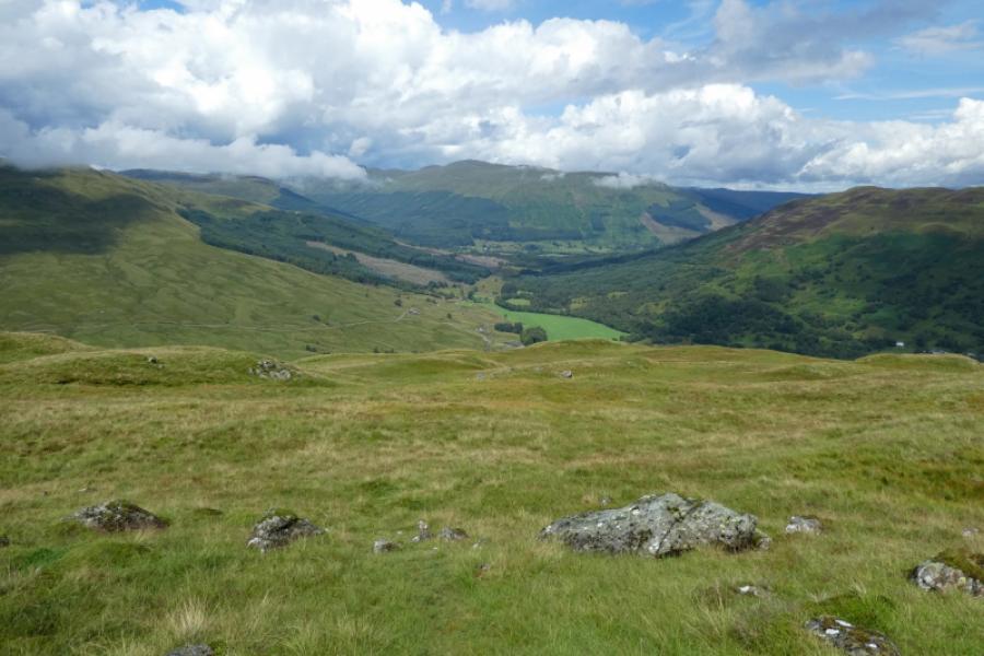
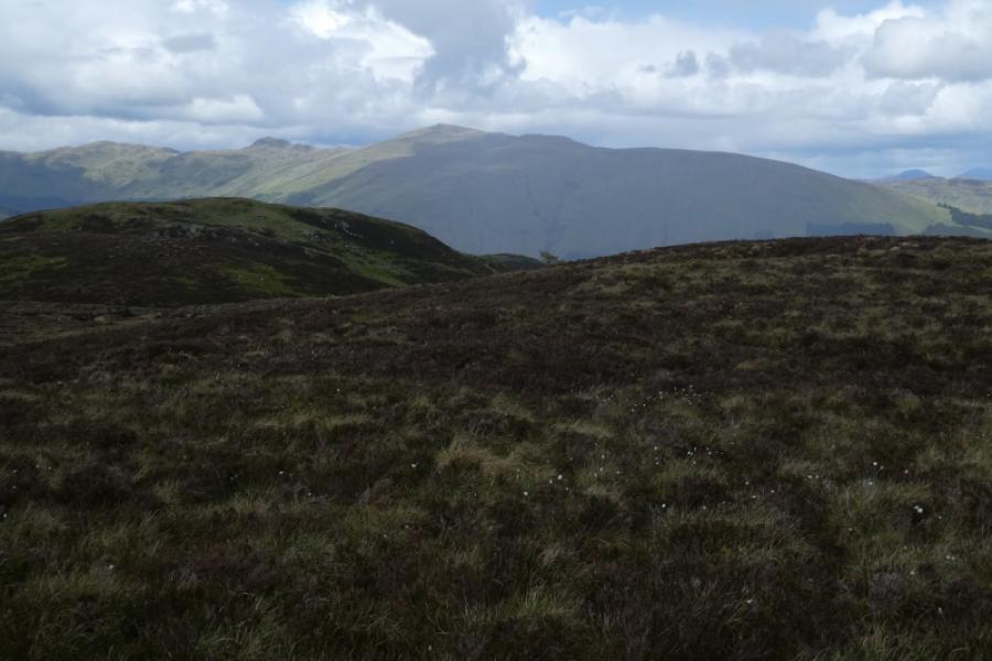
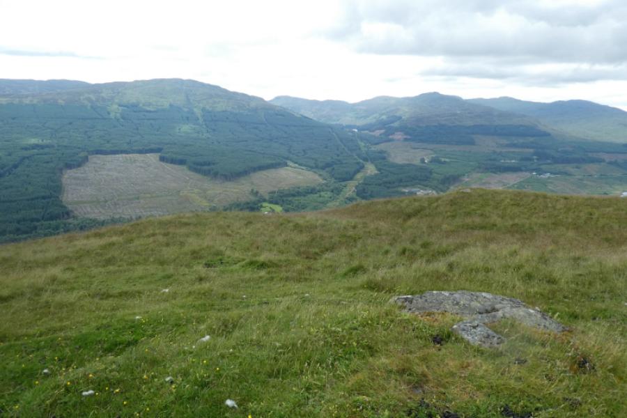
These quiet Corbetts offer panoramic views of the Crianlarich hills, the Lawers range and the Loch Earn hills.
Route
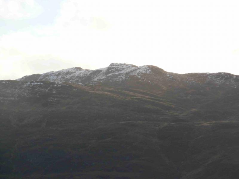
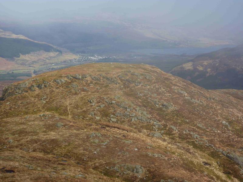
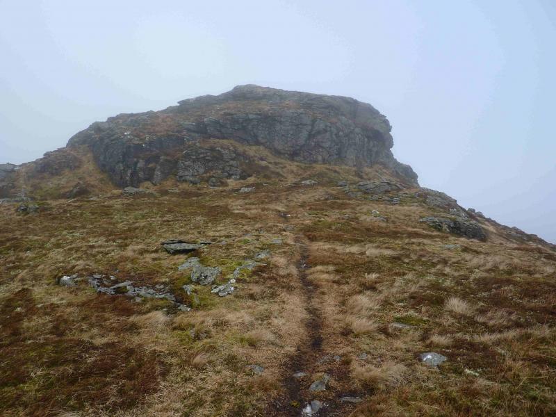
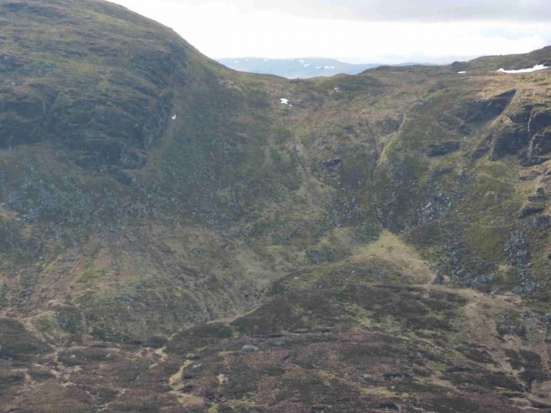
(1) From the lay by, walk a short distance, S, down the road, to the edge of the forest. Cross the cycle path using the bridge. Do not go on to the cycle path. Ascend the edge of the forest using a muddy ATV track. Leave the track when it heads S and continue to the corner of the forest at NN 558 270. From here head SW easily picking a way through the line of crags shown on the map. Aim for the stream which comes from Loch Lairig Cheite and up through the forest. This is shown on the map but other minor streams are not so care is needed in thick weather. When the stream peters out head for the N ridge. Once on the N ridge proper there is a good path which first passes a medium cairn on a false top, then the N top where a small cairn marks the summit of Creag Mac Rainich, 809 m. Note that this cairn no longer holds an iron fence post as described in the SMC Corbetts guide.
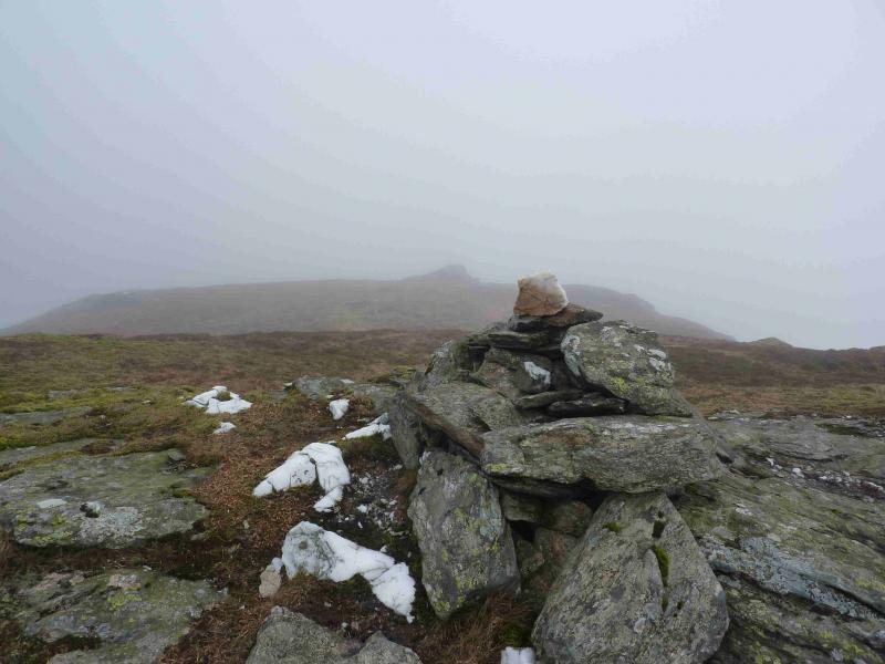
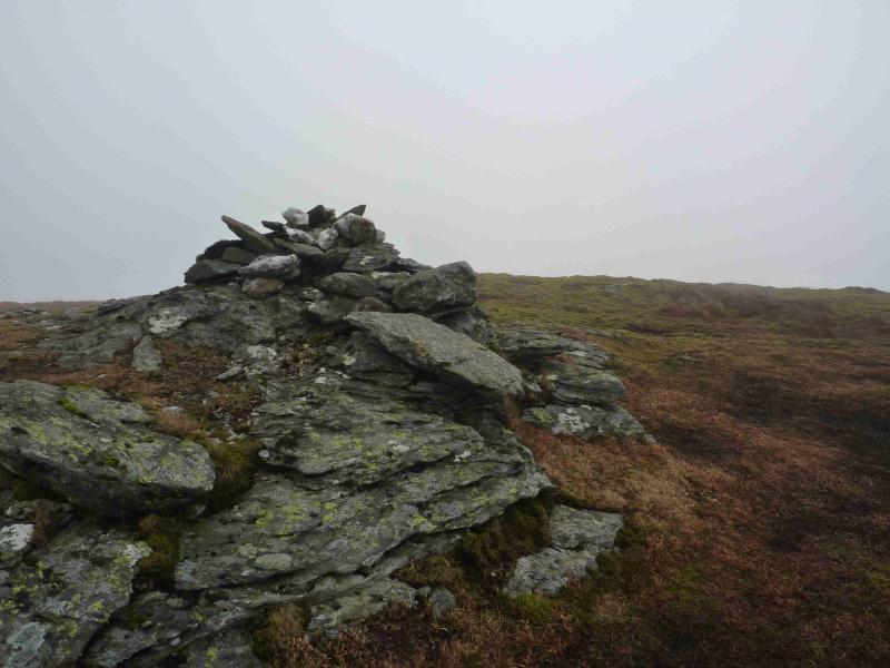
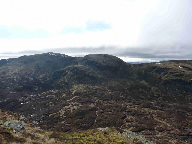
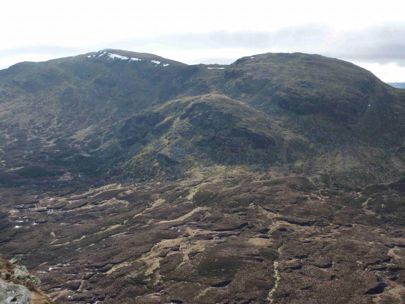
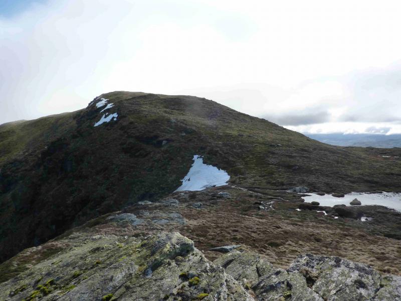
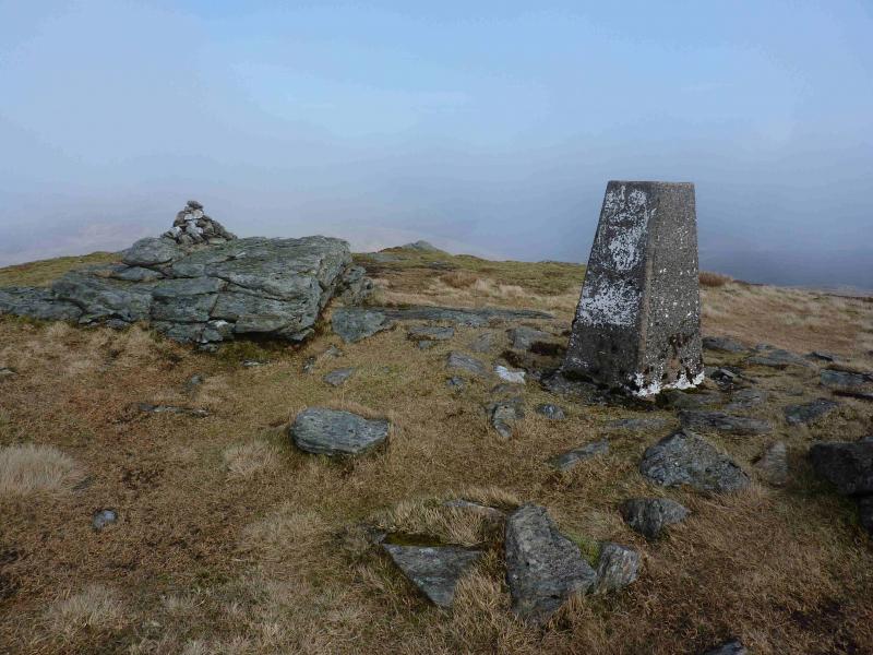
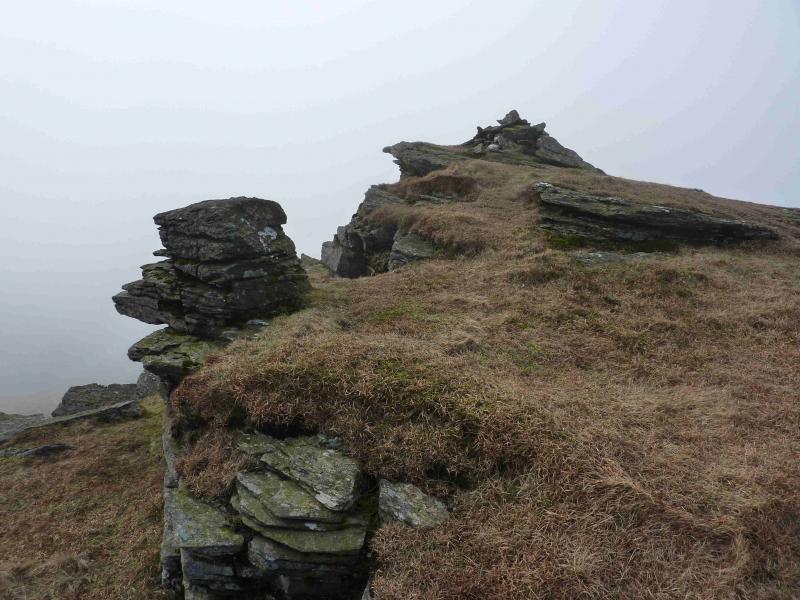
(2) Continue S, on a path, across the shallow bealach to the S top which has a small cairn. From here descend roughly WSW on grassy ramps. Beware of steep crags either side of this descent. There seems to be more crags than are shown on the map. There is no obvious path but the occasional old iron fence post may be noticed. Unfortunately, there are not enough to form a line which can be followed. Reach a good track coming up from Glen Kendrum. Only the lower part of this track is shown on the 1988 OS map but it goes at least as far as the bealach at NN 541 248. Ascend SW to the bealach at NN 538 244 to the W of Cam Chreag and NE of a sizeable lochan below the bealach. Ascend steep grassy slopes to Cam Chreag where a good path appears and goes S along an undulating ridge to the summit trig point and cairn of Meall an t-Seallaidh, 852 m. Some old iron fence posts run along this ridge for much of the way. About 100 m further, across a shallow dip, is a slightly lower top on which sits another cairn next to what initially appears to be a square cairn on a wall but is actually a natural rock formation.
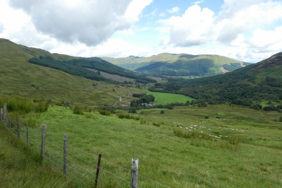
(3) Descending directly NE from the summit takes one into a boulder field in a wide grassy gully so cross the shallow dip to the lower top described above then descend NE down a grassy ridge which soon becomes ill-defined. The descent can be eased by picking out the grassy strips between the heather patches. Reach the Kendrum Burn beyond which is the track from the bealach. The burn is usually easy to cross but in spate conditions will need to be crossed higher up. Follow this track down Glen Kendrum taking in the view ahead of Ben Vorlich and Stuc a' Chroin. Cross the railway bridge then follow the fence above the railway for about 50 m to a gate which gives access to the track on the old railway line which later becomes a cycle path. If a second car is in Lochearnhead then turn right when it is signposted Lochearnhead. When the track doubles back, leave it and descend ahead on a faint path which eventually comes out on the drive of the house next to the Episcopal church. Turn left to reach the main road. If one has to return to the start then stay on the track of the disused railway until it passes under the bridge crossed over at the start. About 50 m past the bridge, a faint path leads up to the lay by. From the railway bridge at the foot of Glen Kendrum, it takes about an hour and a quarter back to the start. It is mainly up hill but, being an old railway line, the gradient is hardly noticeable.
Notes (a) This walk took place on 4th November, 2009 and 12th March, 2012.
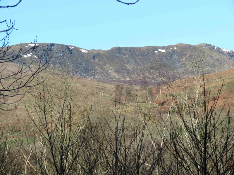
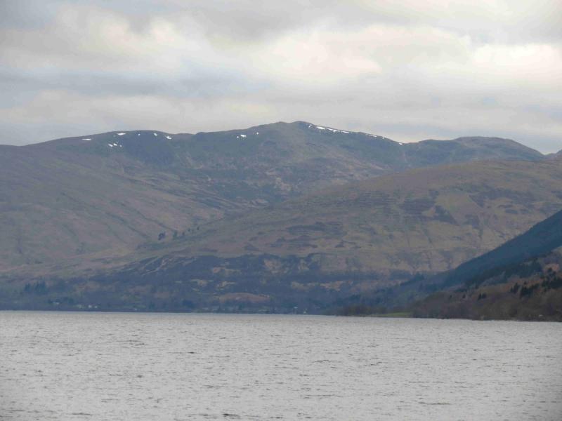
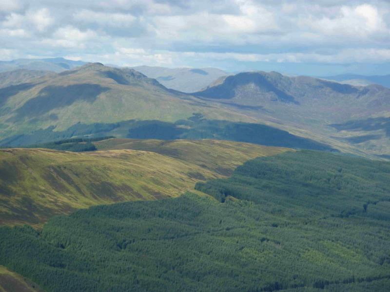
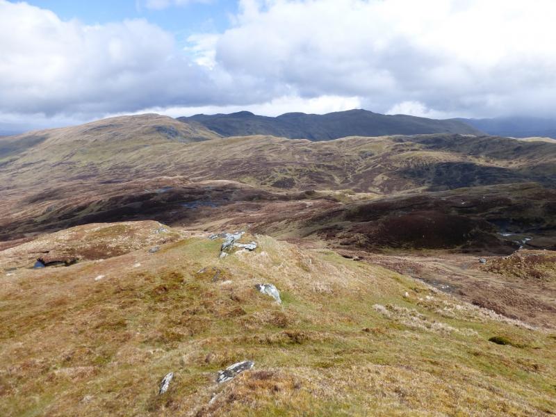
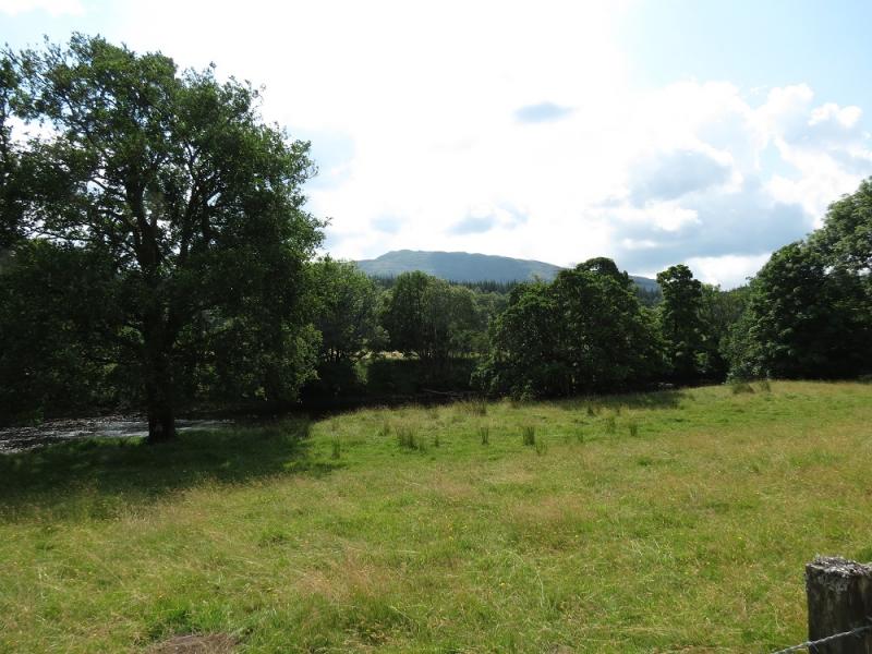
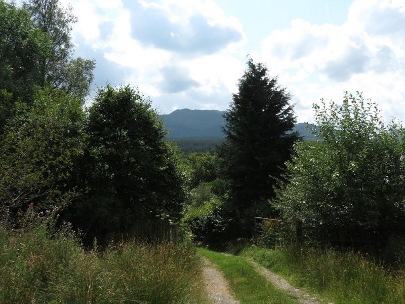
Photos - Hover over photo for caption. Click on to enlarge. Click on again to reduce.