Get Lost Mountaineering
You are here: Scotland » 10b Loch Eil to Glen Shiel » Loch Lochy to Loch Quoich & Glen Dessary
Sgurr nan Coireachan, Garbh Chioch Mhor & Sgurr na Ciche
Sgurr nan Coireachan, Garbh Chioch Mhor & Sgurr na Ciche
from far end of Loch Arkaig
Start/Finish
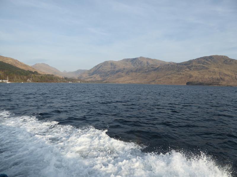
The end of the public road at the far end of Loch Arkaig. This is a long drive (40+ minutes) from Spean Bridge via Gairlochy. The road by the loch is single tracked and narrow with mainly blind bends and summits. Be prepared to reverse some distance if another vehicle is encountered. If pulling a trailer or caravan, make sure you can reverse with that as well. The parking space is limited but there is some space on the verges near the end of the road. Arrive early to claim a parking space.
Distance/Time
13 km walk + 9 km bike. Approx 11 hours.
Peaks
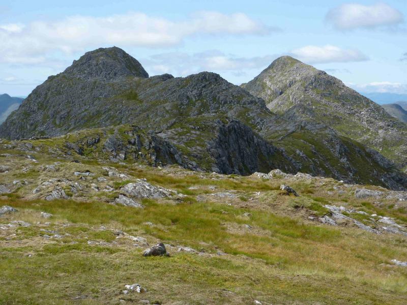
Sgurr nan Coireachan, 953 m, NM 933 958.
Garbh Chioch Bheag, 968 m, NM 918 959.
Garbh Chioch Mhor, 1013 m, NM 909 961.
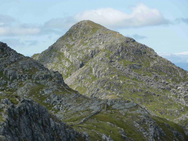
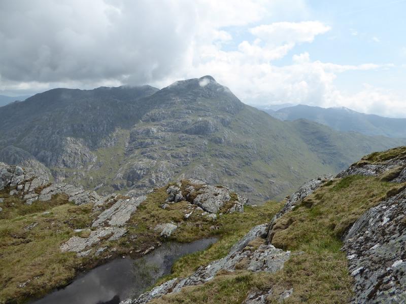
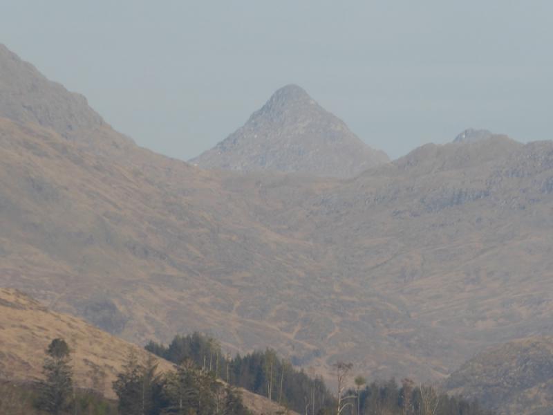
Sgurr na Ciche, 1040 m, NM 902 966. OS sheet 40.
Introduction
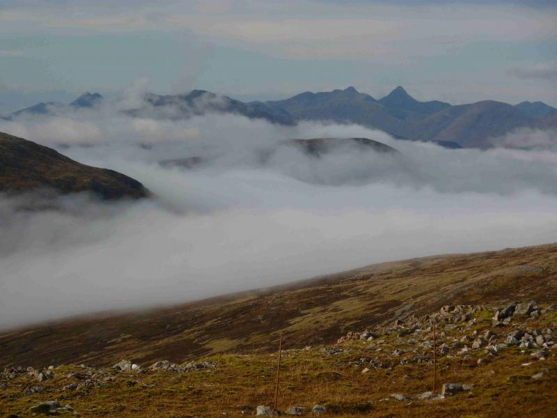
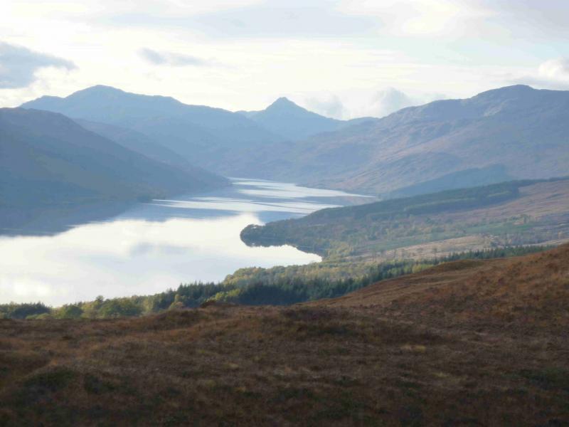
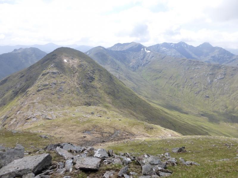
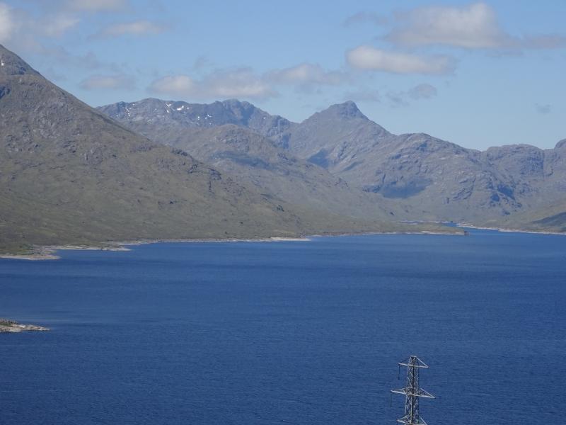
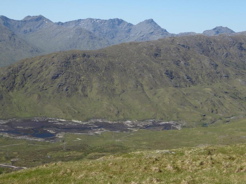
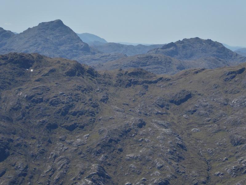
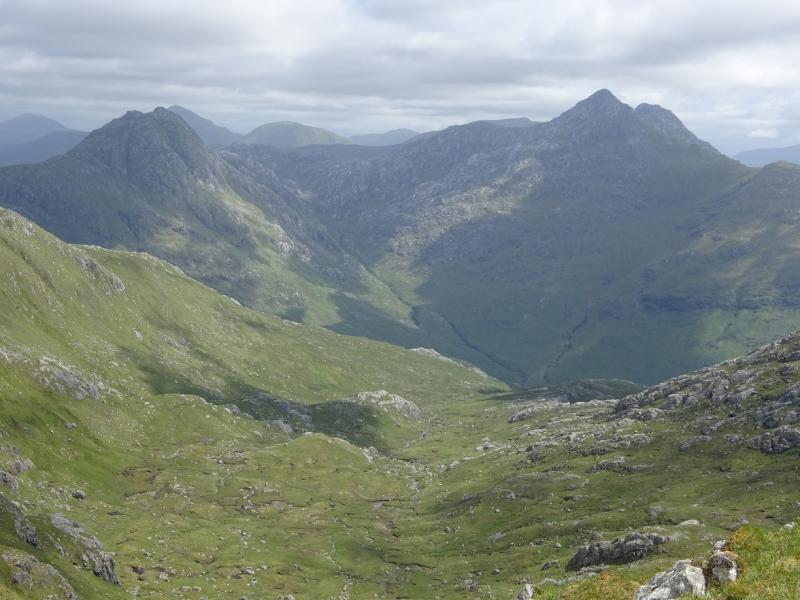
This is a very strenuous walk over much rough and boggy ground lower down. Glen Dessary is quite boggy beyond the end of the track at Upper Glendessary and much of the higher route is over stony and rocky ground. The route goes over rocks and slabs which would need care in the wet. There are a few short sections where hands will be needed on the rock but no scrambling skills are needed. This route is best done after it has been dry and warm for some days to dry up some of the boggy areas. The views on a clear day are stupendous with almost all the West Highlands in view including the distant Ben Nevis, Bidean nam Bian and Torridon.
Route
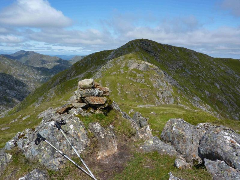
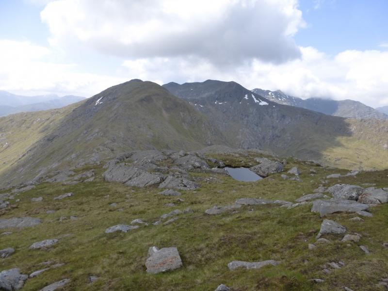
(1) From the end of Loch Arkaig, walk or cycle, up the good track to Upper Glendessary where the track ends. A sign just before the house indicates where the path goes. Follow the path past Sgurr Cos na Breachd-laoidh to reach the Allt Coire nan Uth. Normally, this is crossed easily but will present problems in spate conditions. Fortunately, there is a bridge not far down stream which is well hidden from view until one gets close. Once across the burn, soon leave the path to go N up a smaller path which leads up the N ridge of Sgurr nan Coireachan. On 23/7/11, a small cairn marked the start of this path. The path is distinct but does not always follow the crest. Parts of it are quite boggy, even in a dry spell. It is quite a slog up this ridge but, eventually, a cairned top is reached but this is not the summit! A slight descent, then a longer ascent, still on the path, finally leads to the medium cairn which is the summit of Sgurr nan Coireachan, 953 m.
(2) Descend W then SW down steep rocky ground, on a good path, to reach a deep bealach which can be boggy. Continue up the other side, with the path on the left of a dry stone wall. A minor top on a shoulder is passed before a longer ascent leads on to a flatter area, still on the path and still following the wall. On the N side of the wall is the medium summit cairn of Garbh Chioch Bheag, 968 m.
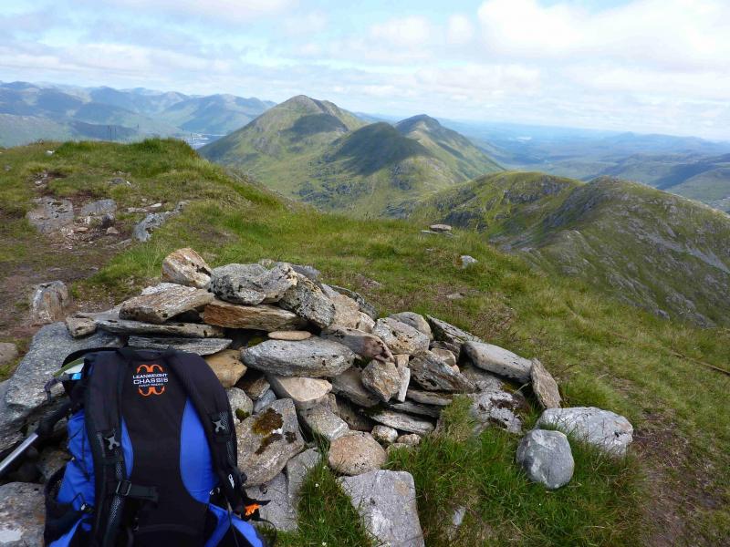
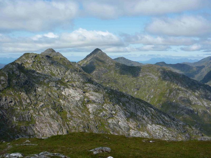
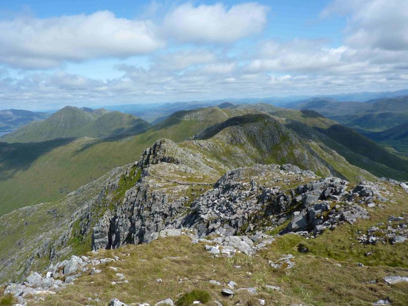
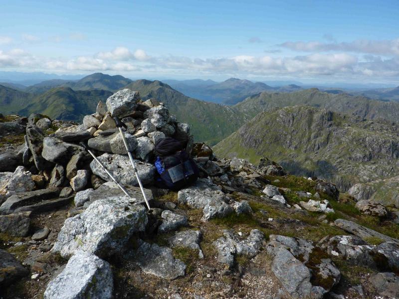
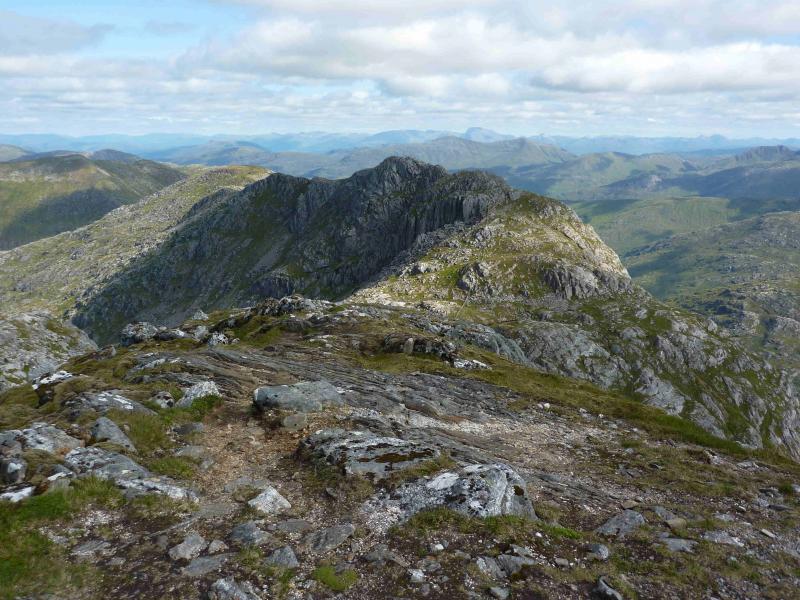
(3) Continue along the crest, still following the path over rocky and stony ground. There is a short descent followed by a longer climb up the E ridge of Garbh Chioch Mhor, 1013, where there is a medium cairn and a shelter cairn close by.
(4) Descend W then NW still on the path by the wall to a deep bealach. The wall continues up the other side but the path is now some way to the left, initially going up a grassy strip before curving round on the edge of a steep boulder field before emerging on the crest. Turn left and follow the path to the large cairn which is the summit of Sgurr na Ciche, 1040 m.
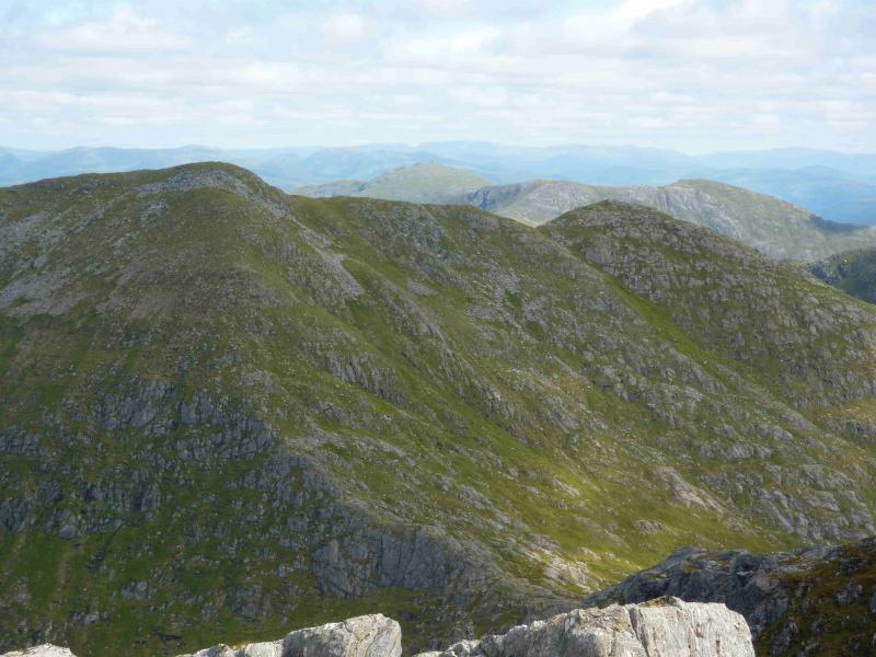
(5) Retrace to the bealach then turn right, initially on a good path, down a boulder filled gully. Lower down,the path is less distinct and one has to carefully pick a way over and around the boulders. At the bottom of the gully, the path veers left across flatter and more grassy terrain which is a shoulder of Garbh Chioch Mhor. Follow the path, roughly SE, across this shoulder until it descends, alongside a small burn, to reach the main path high in Glen Dessary. A fairly new ATV track will be noticed on the right as one descends and this can be used to reach the bottom of the glen. Alternatively, stay on the top of the shoulder for a few extra metres to locate the top of this track. The track varies from good and stony to soft and boggy. As one gets lower down Glen Dessary, the footpath becomes a better option to follow and this follows the northern edge of the large plantation to the W of Upper Glendessary whereas the track “disappears” into the plantation. The first building which comes into view is the distant new Glendessary Lodge. The house at Upper Glendessary is not seen until almost reached. From here, follow the track back to the start.
Notes
(a) This walk took place on 23rd July, 2011.
(b) Not using a bicycle would add about an hour to the time.
Photos - Hover over photo for caption. Click on to enlarge. Click on again to reduce.