Get Lost Mountaineering
You are here: Scotland » 10b Loch Eil to Glen Shiel » South of Loch Morar & Loch Arkaig
Mullach Coire nan Geur-oirean
Mullach Coire nan Geur-oirean from Eas Chia-aig car park
Start/Finish
Eas Chia-aig waterfall car park is reached by following the Loch Arkaig signs from Gairlochy. Gairlochy can be reached by the minor road from Banavie which is near Fort William on the A 830 road to Mallaig or by driving N up the hill from Spean Bridge and turning left at the Commando Memorial.
Distance/Time
30 km of which 16 km can be cycled. Approx 8 hours.
Peaks
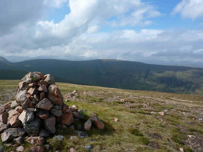
Mullach Coire nan Geur-oirean, 727 m, NN 049 892. OS sheet 41.
Introduction
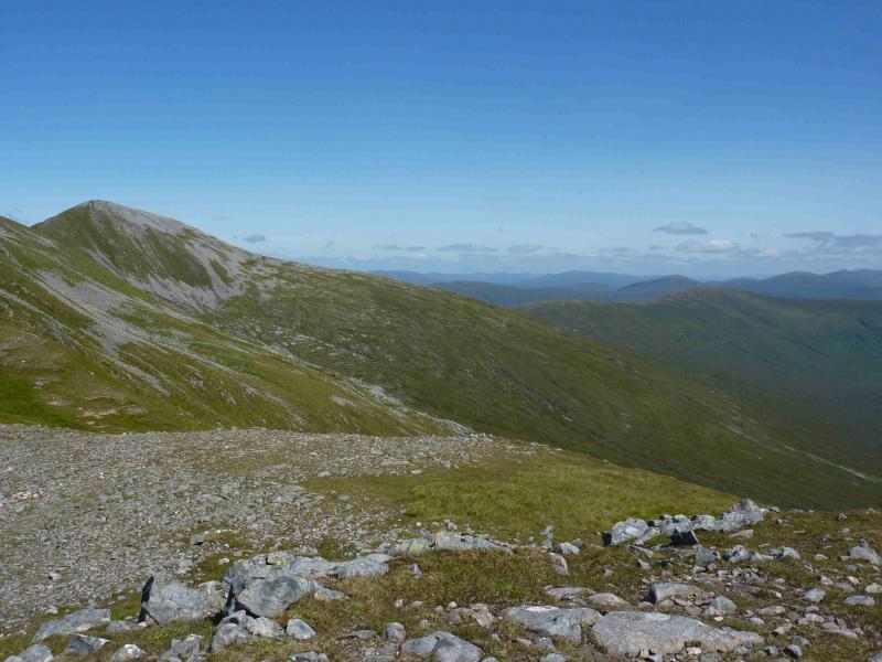
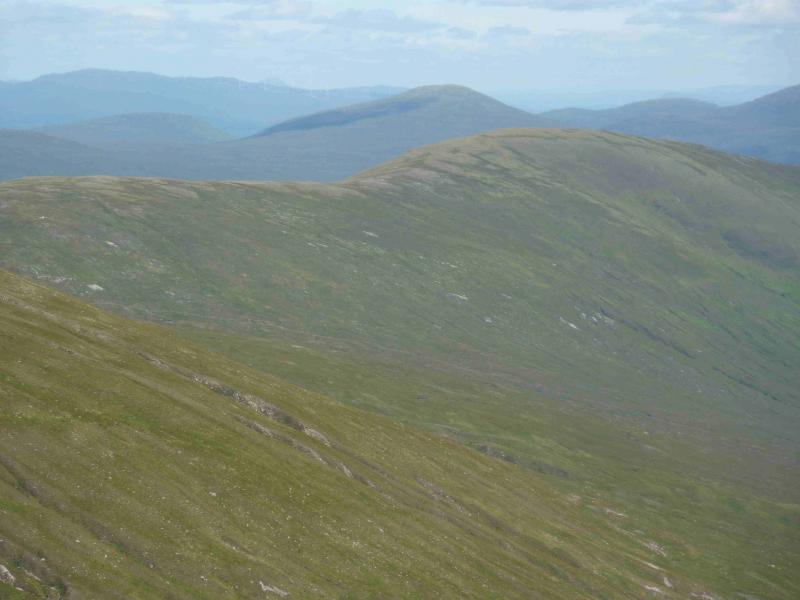
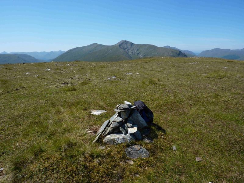
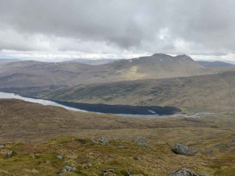
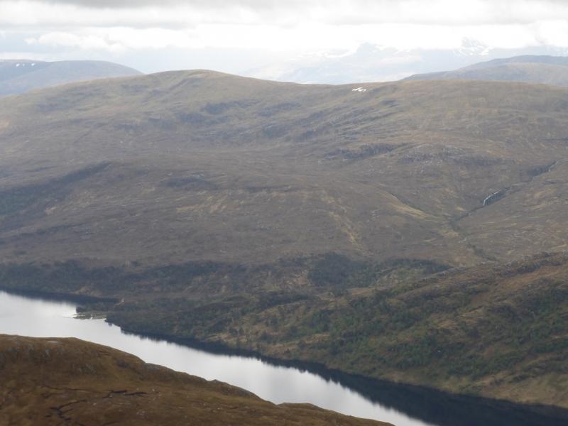
This peak forms part of the long ridge on the S side of Loch Arkaig which starts at Inver Mallie and stretches to Gulvain. It is a very good viewpoint for all the Loch Arkaig hills as well as the Ben Nevis range. The best view, as it is fairly close is of Gulvain and its rocky NE corrie.
Route
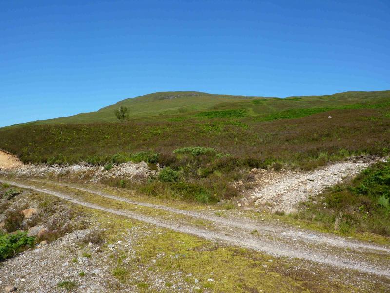
(1) Turn right, W, out of the car to soon reach the private road at the end of Loch Arkaig. Take this and turn right after the bridge along a track through a wood close to the loch. There is some up and down on this track, which is a bit rough, and one significant hill. Emerge from the wood after about 3 km and continue across the bridge at Inver Mallie. The track now climbs gently following the N side of the River Mallie. After 3 – 4 km, there is a “cluster” of trees and just past here is a rough track which climbs to the E ridge of the hill. Leave bikes on the Glen Mallie track and climb to the E ridge. Walk W along this grassy ridge with any peaty areas easily avoided. Ascend firstly on to the Druim na Giubhsaich then secondly on to the summit plateau where, at the western end, is a small cairn which is the summit of Mullach Coire nan Geur-oirean, 727 m.
(2) Return by the same route or descend to the Glen Mallie track at any convenient point.
Notes
(a) This walk took place on 26th July, 2011.
(b) It is possible to cycle further up the Glen Mallie track, leaving the bicycle when the track becomes too rough, then striking uphill from the end of the track via the Coille an Ruighe Mhor hillside which seems to be pathless.
Photos - Hover over photo for caption. Click on to enlarge. Click on again to reduce.