Get Lost Mountaineering
You are here: Scotland » 10b Loch Eil to Glen Shiel » Loch Lochy to Loch Quoich & Glen Dessary
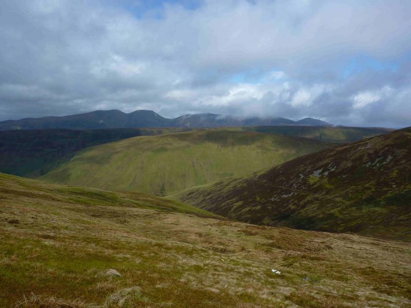
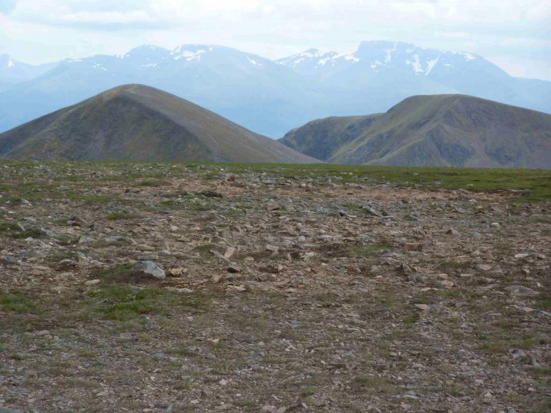
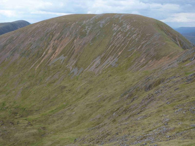
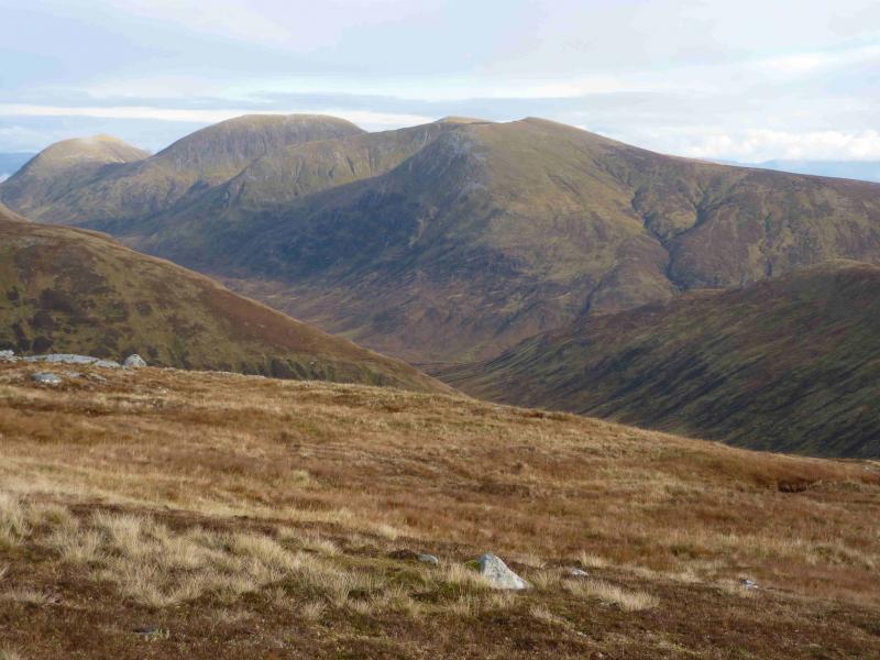
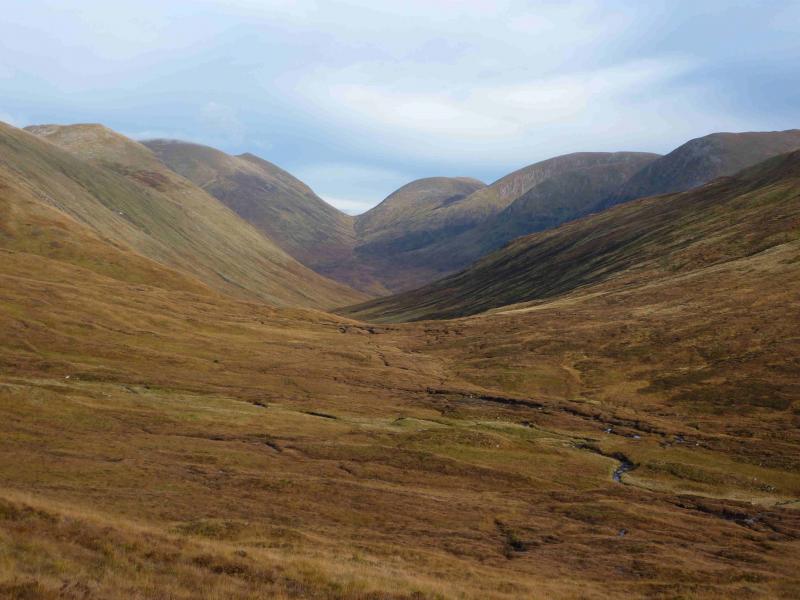
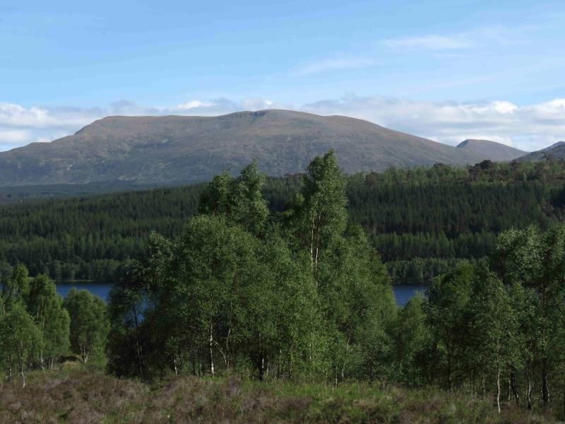
Meall na Teanga and Sron a' Choire Gharbh from the South
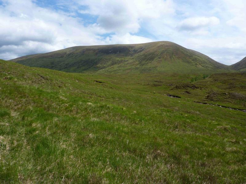
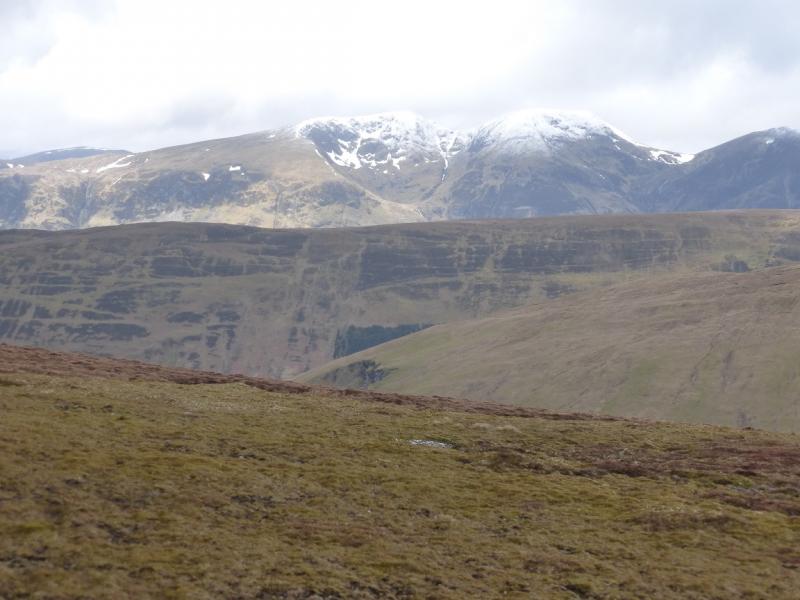
Meall na Teanga and Sron a' Choire Gharbh from Chia-aig car park
Start/Finish
Car park at Eas Chia-aig waterfall which is near the east end of Loch Arkaig. The route to Loch Arkaig goes through Gairlochy which is usually reached by turning off the A82 about a mile north of Spean Bridge by the Commando Memorial.
Distance/Time
22 km. About 8 hours.
Peaks
Meall na Teanga, 918 m, NN 220 924.
Sron a’ Choire Gharbh, 937 m, NN 222 945. OS sheet 34.
Introduction
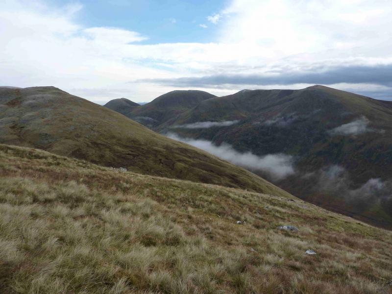
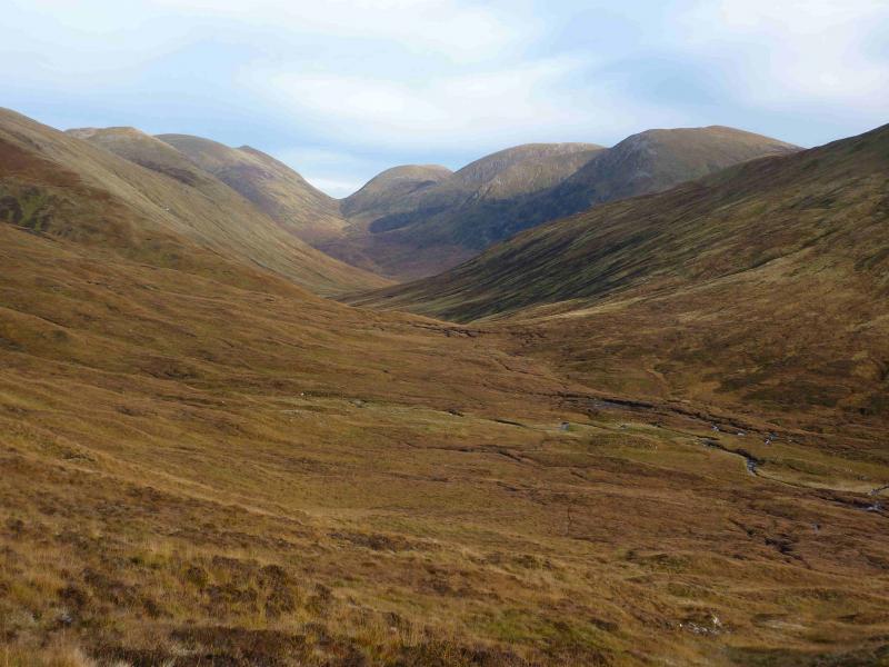
This is a slightly longer and more strenuous route to these two Munros than from Kilfinnan to the north but it gives a more satisfying mountain day with less retracing of one's steps. The terrain can be wet and boggy especially around upper Gleann Cia-aig and near the Allt Cam Bhealaich so tackling this route in dry spell is recommended. On a clear day there are superb views in all directions including Ben Nevis, Grey Corries and Creag Meagaidh. One warning however, in June 2012, the forest near the start was being cleared and the path/track near the start was officially closed so it is worth checking with the Forestry Commision (Lochaber) before taking on this route. In June 2012, there was heavy felling machinery in operation and the old path was littered with felled trees which were very difficult to walk over.
Route
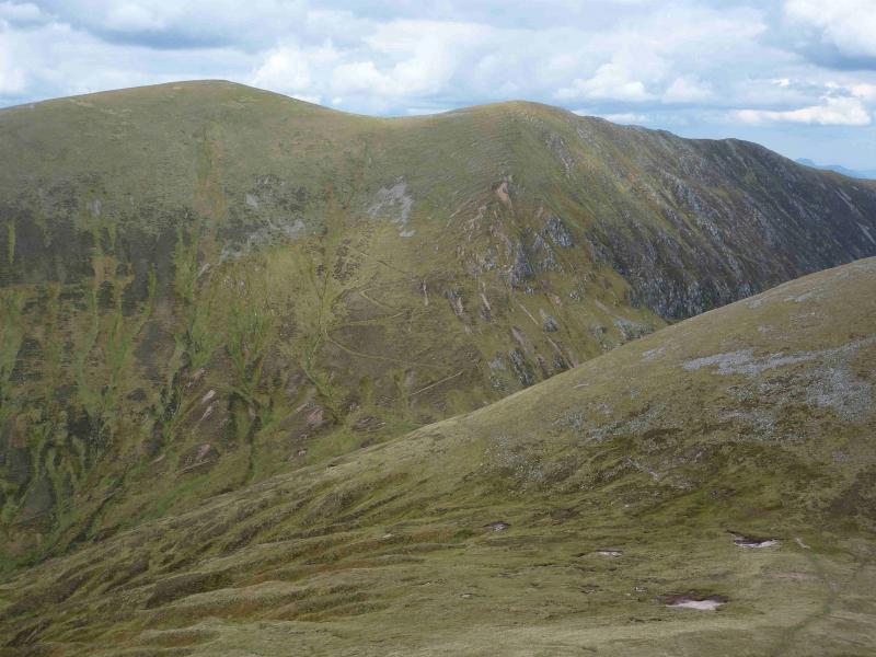
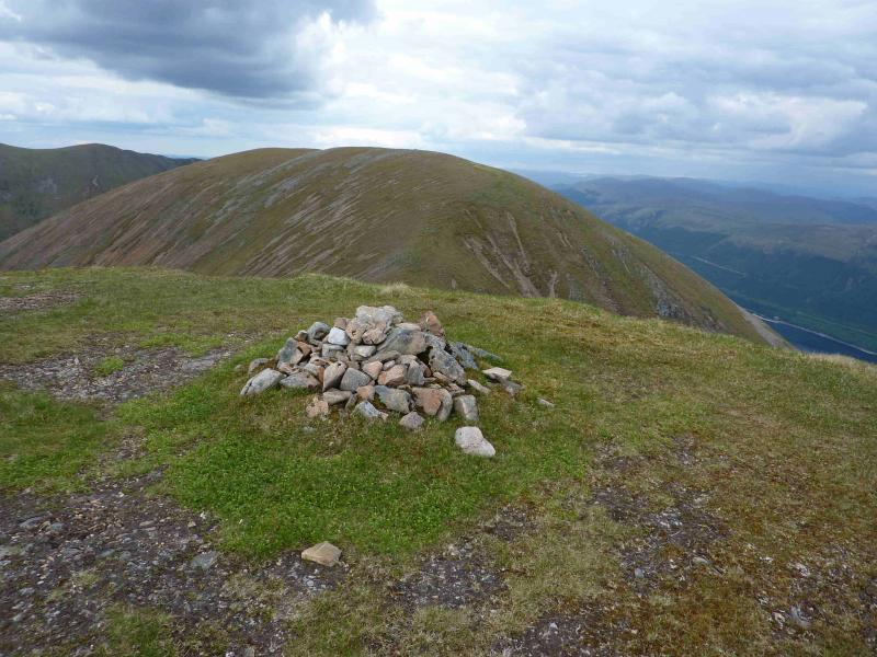
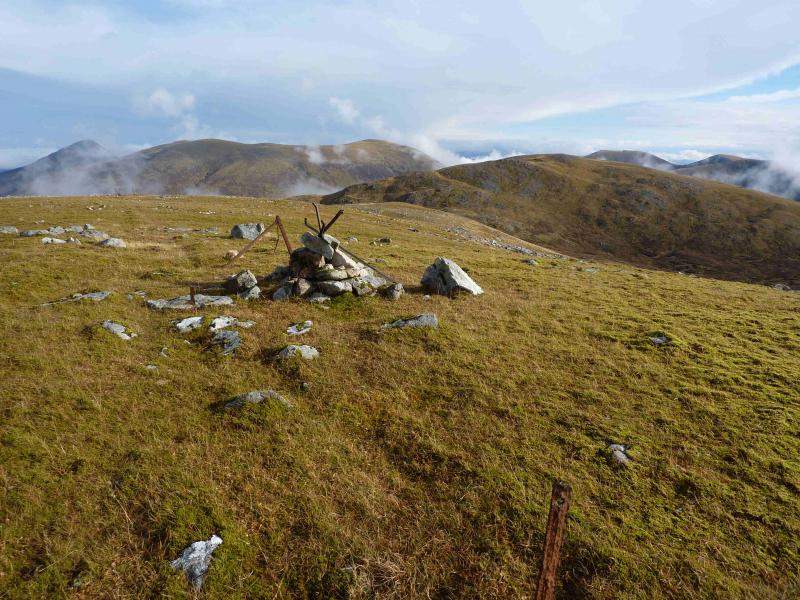
(1) From the car park, walk up the path above the waterfall and follow this until it joins a track heading N on the E side of the river. When the track finally leaves the forest, cross the stile and follow the path to the footbridge over the river. Continue to follow the river as it swings around to the E. There are various paths with the highest ones being the driest. Keep an eye on the fence crossed using the stile and look for another stile to cross back then head straight for the foot of the W ridge of Sron a' Choire Ghairbh. Climb the mainly grassy ridge which is steep lower down but eases higher up and eventually reach the medium cairn, close to the NW edge of the plateau, which marks the summit of Sron a’ Gharbh Choire, 937 m.
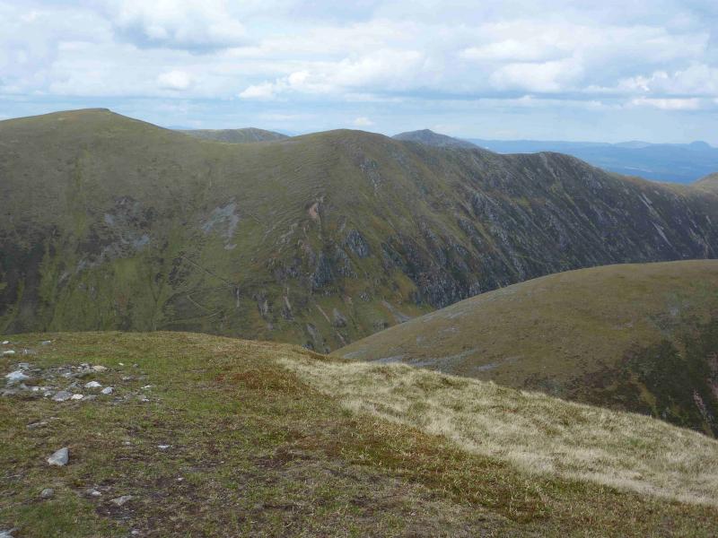
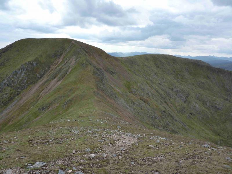
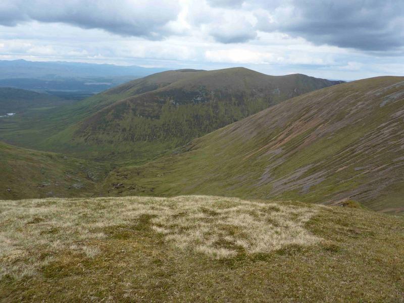
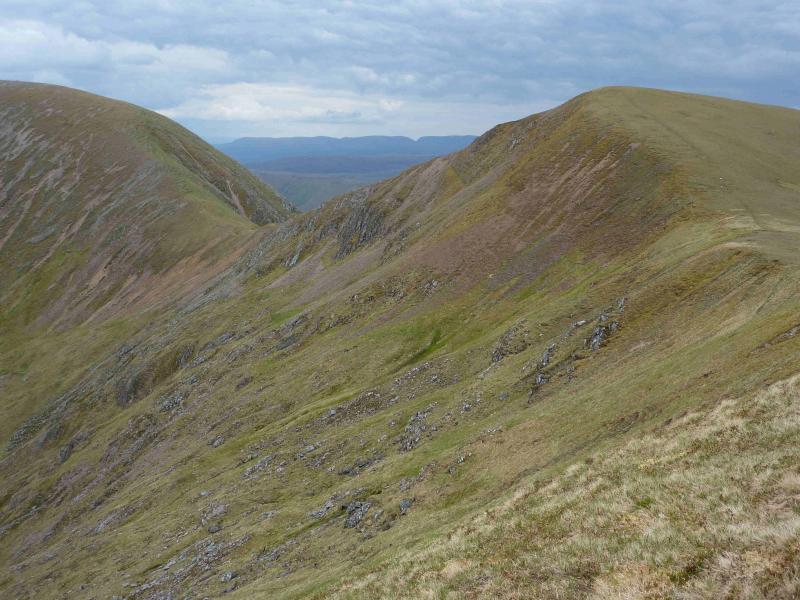
(2) Follow the edge E to a dip then turn right (small cairn) and walk down the centre of the deepening hollow until the top of the stalker's path is reached. Follow this which zig-zags down to the Cam Bhealach. Go right for about 10 m to find the path up the other side and follow this to the flat bealach between Meall Dubh and Meall na Teanga. Continue on the path as it climbs up the summit plateau, the start of which is marked by a small cairn. Walk SW along the crest for a few hundred metres to reach a medium cairn which marks the summit of Meall na Teanga, 918 m. Just before the summit cairn is a lower memorial cairn with a plaque.
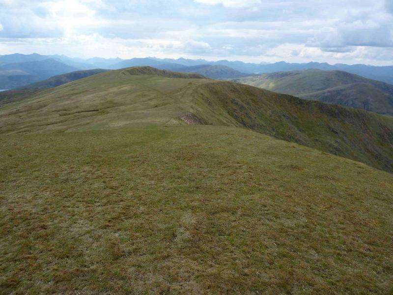
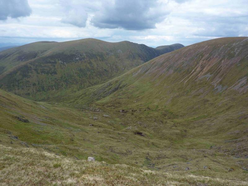
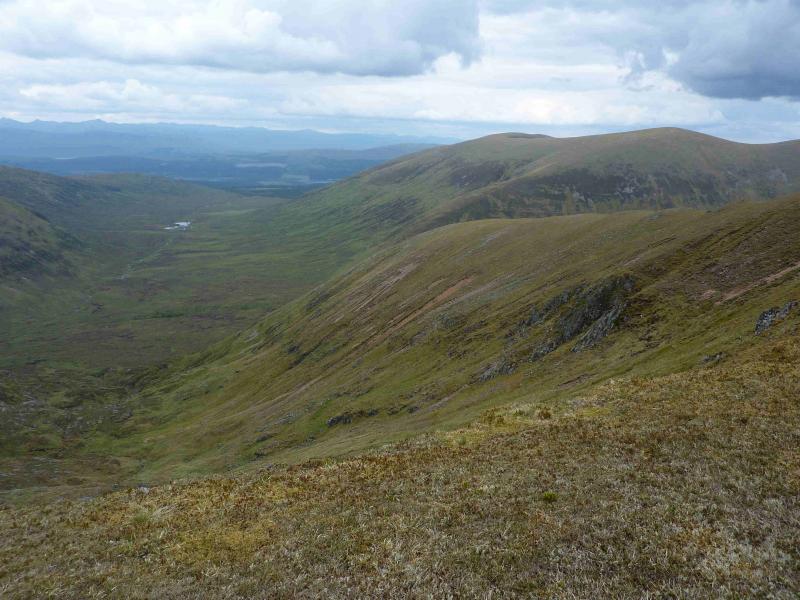
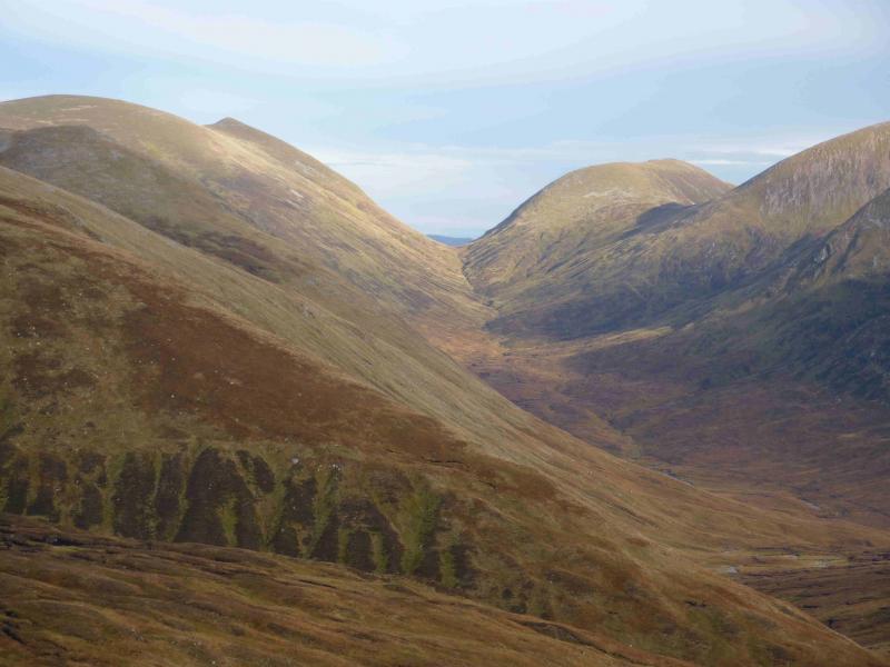
(3) Descend SW to a well defined bealach then ascend easily up the narrow ridge which leads to the summit of Meall Coire Lochain. Descend W along a grassy, gently undulating ridge to reach Meall Odhar then descend W down easy grassy slopes, keeping to the N of an obvious grassy gully, to reach Gleann Cia-aig just N of the forest then walk back through the forest using the outward route.
Notes
(a) This walk took place on 5th June, 2012.
Photos - Hover over photo for caption. Click on to enlarge. Click on again to reduce.